Along the Bell - Windgate Loop
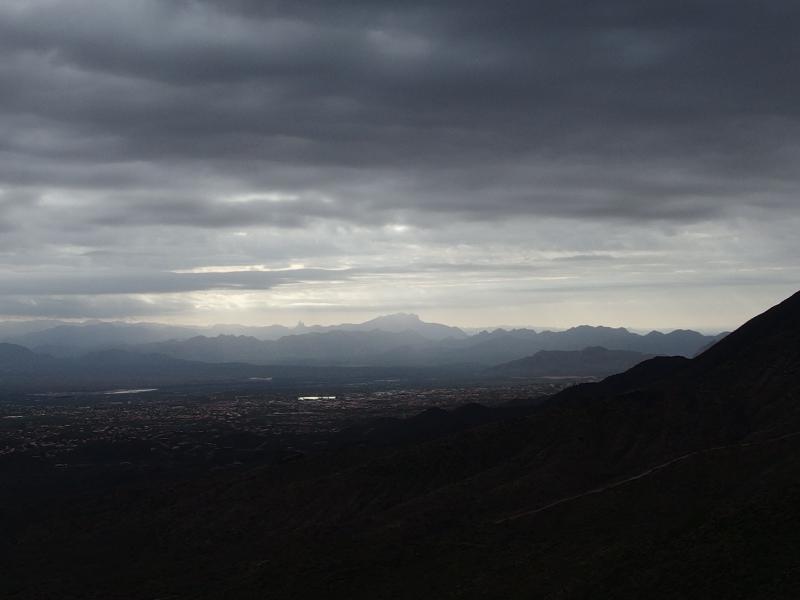
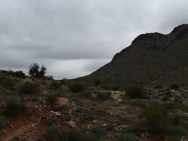
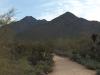
Chris and I met Kirsty at a small dirt parking lot off of Bell Road in Scottsdale. It wasn't terribly early, maybe thirty minutes before the sunrise, and the morning light was just starting to lighten the cloudy sky. There was a decent chance of rain today which worried all of us. There are few places to shelter in the desert during a storm and fewer places to hide from lightning. Without too much fanfare we started down 104th Trail to Levee to Paradise, weaving our way over to Bell's Pass Trail in right angle jogs under a pink sky.
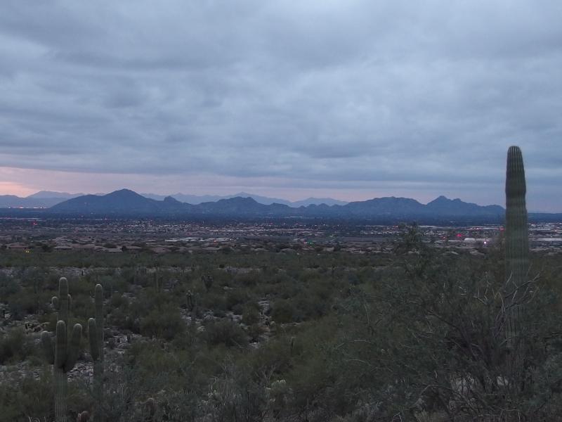
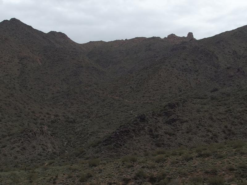
The long stretch of Scottsdale mountains
Pink skies in the south betraying a sunrise
We had a lofty goal today. Out of the three main peaks of the McDowell Range (ignoring the odd step child that is East End) only one is publicly accessible: Thompson Peak. Both McDowell and Drinkwater are on conserved land. To reach Thompson we'd have to cross up and over Bell's Pass, drop down on Prospector's Trail, and then climb back up on an old Jeep Road. It would be a tough thirteen mile morning with close to 4000' of elevation change.
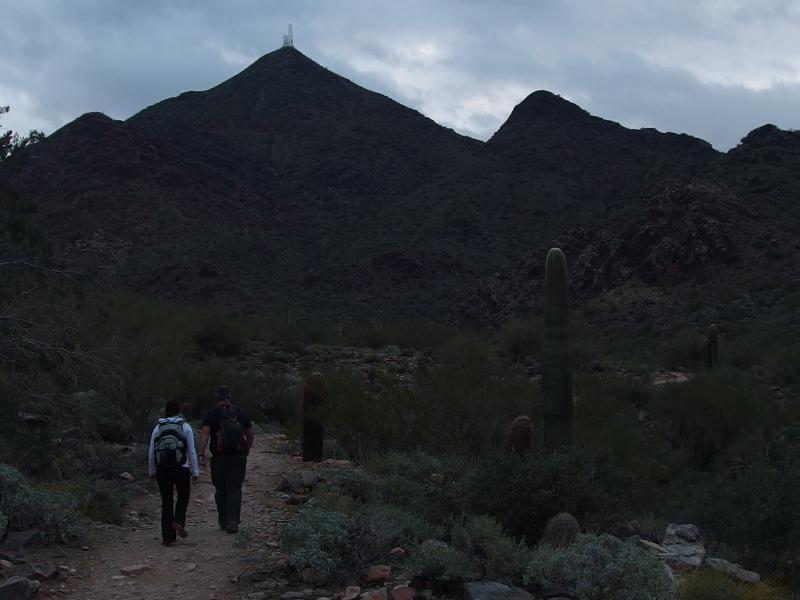
On the way to Thompson Peak
Once we were on Bell's Pass Trail we eased up on our pace a bit. The air seemed thick today, a possible side effect of whatever weird weather pattern was drifting through the valley, and none of us were feeling that ready for the long climb up Bell's Pass. We walked and chatted about random topics, dreams of hiking the Grand Canyon mixed with recent television episodes, and slowly headed east.
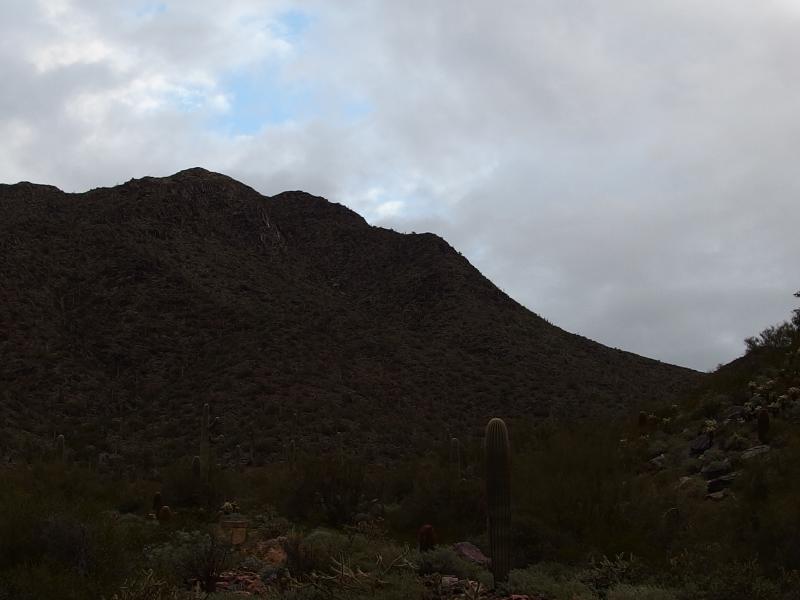
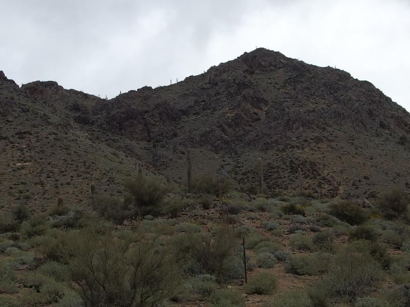
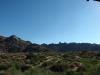
I kept glancing over to the south. Some of the rock formations on the shoulder of Thompson Peak were really fetching. Gnarly thrusts of pink granite broken by little caves shot up from the green below, a surprising amount of ruggedness for the McDowell Range. I had assumed that most of this area was just boulders stacked on boulders after my hikes to Tom's Thumb and Gateway Pass but maybe there was some solid meat here as well.
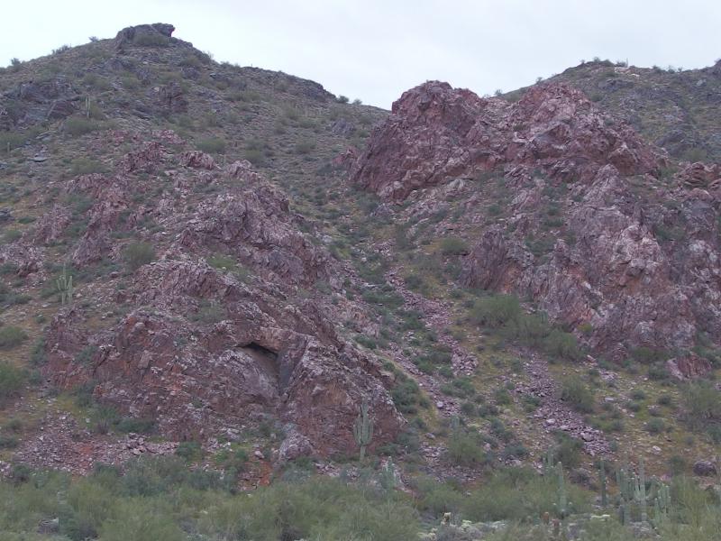
Rugged pink outcroppings on the mountains
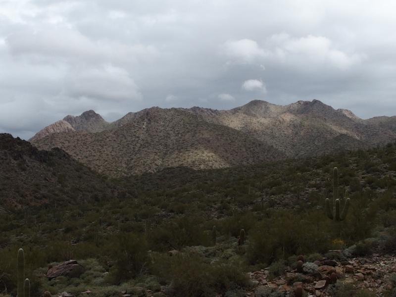
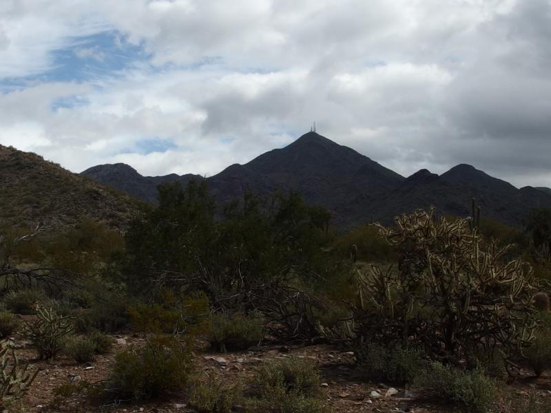
Bell's Pass dangled far to the east, never appearing closer as we marched on the trail. To the right we saw a set of radio towers marking the peak of Thompson, almost in mockery of our long looping route. To the left was the twin peaks of McDowell and Drinkwater, too close to tell apart from this angle. Somewhere behind these mountains was a sun struggling to break free from the clouds. Maybe once we breached the pass we'd catch a glimpse of that sun.
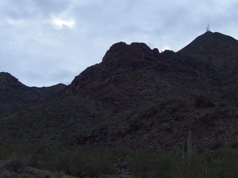
Getting closer to the radio towers
Drinkwater and McDowell Peaks
We continued to climb up the trail. A few runners in much better shape than us jogged past, the first people we had seen on the trail so far this morning. Only one returned. The others must have continued on for a more ambitious loop. Chris had mentioned that the trail looped all the way around back here behind McDowell Peak, that it came around by East End and over Windgate Pass and back to Gateway. Maybe the runners were tackling that route.
A long, winding trail below
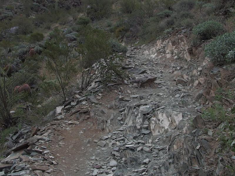
Sharp rocks on the trail
Every once in a while I looked back to the west to remind myself that we had actually gained some elevation. Bell's Pass was a tricky gauge. By now I could tell that we were getting closer, that the distant specs were turning into discernible cacti and rocks, but it was hard to say how much longer we had. Rounding the last bend and spilling out upon the pass was a bit of a surprise.
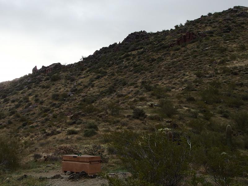
Locked box on the pass
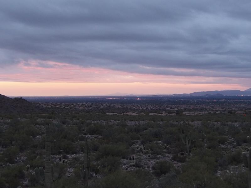
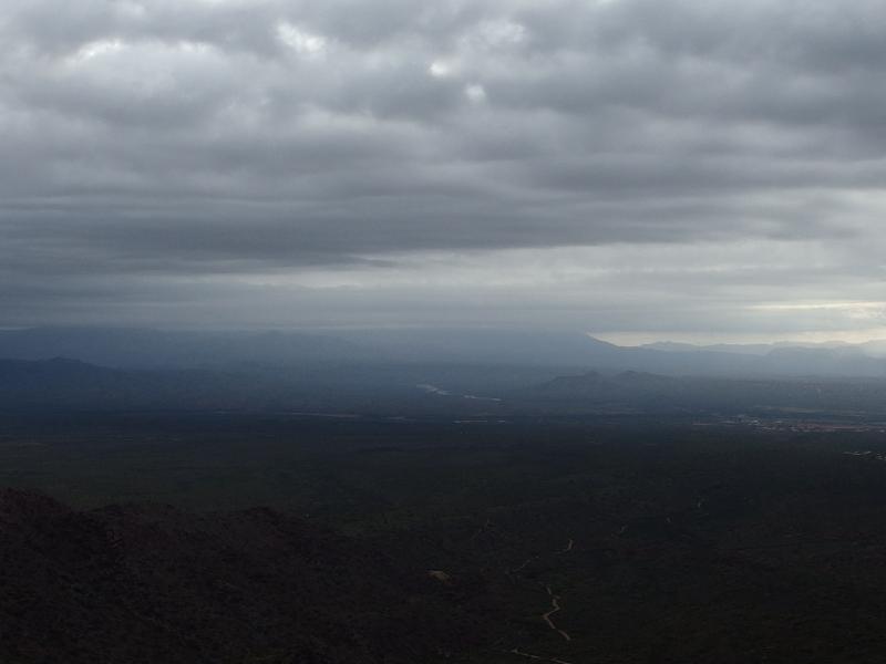
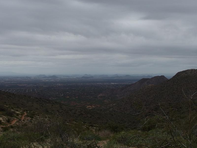
There was a locked box off to the side of the trail and a small marker showing the name and elevation. More obvious, though, was the view to the east. We finally had a view towards the sun, though the close hills blocked most of the good stuff. The barest hint of the Superstitions poked out from the side, and maybe some hills that were around Four Peaks, and that was it. Behind us was a more impressive, and scarier, view of clouds over Camelback.
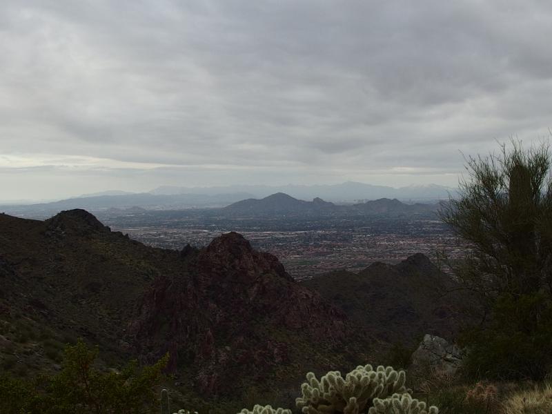
Down on distant Camelback
The three of us discussed our options. We were still pretty worried about the possibility of a storm today, and the dark clouds to the west didn't help with that. The thought of a long loop around the back of Thompson with no easy exit did not sound like the best idea. Chris was adament about not giving up so early. As we talked things over I noticed a small footpath leading south from the pass. It was almost a straight line towards our mountain. Maybe this was a shortcut. We decided to give it a shot.
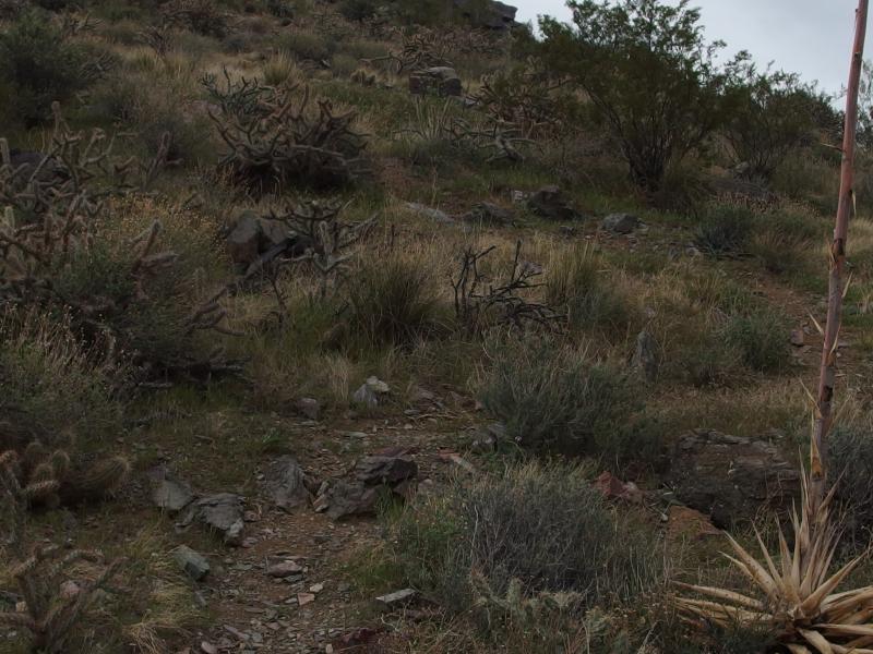
The barest hint of a trail
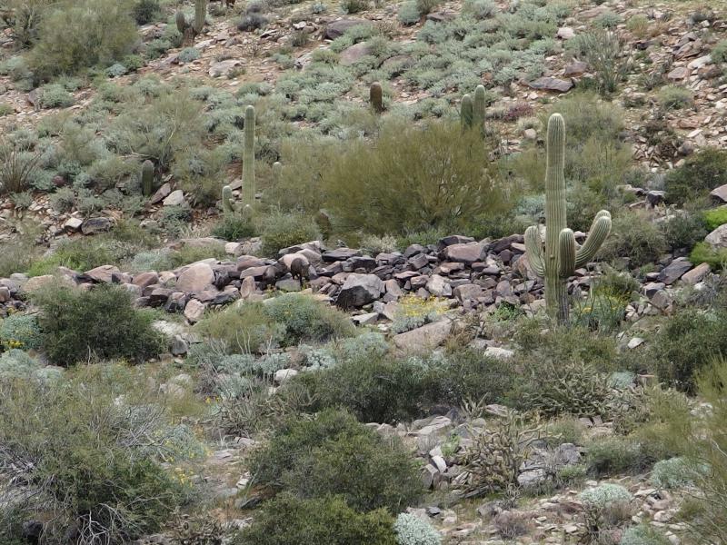
The trail started out easy enough, with plenty of switchbacks and enough foot traffic to make our route obvious. We climbed over loose rock, swung around large boulders, and did our best to avoid the more prickly plants. Chris and I had an easy go at it with our thick boots/shoes. We kept checking in on Kirsty, though. She only had on a pair of Vibrams, her usual hiking shoes, and the rougher trail couldn't have felt good on her feet.
Our path faded away to nothing and the rocks grew sharper. I carefully led a way up and tossed back suggestions to make an easy passage. Chris was impatient and made his own way up the mountain. When we finally crested the hill, which was topped with hard angled boulders, he got the first views over at Thompson Peak. It didn't look good. We were much closer to the top now, maybe a half mile away, but there was a decent dip between us and the crossing didn't look easy. With our path a distant memory this approach was looking less and less fun.
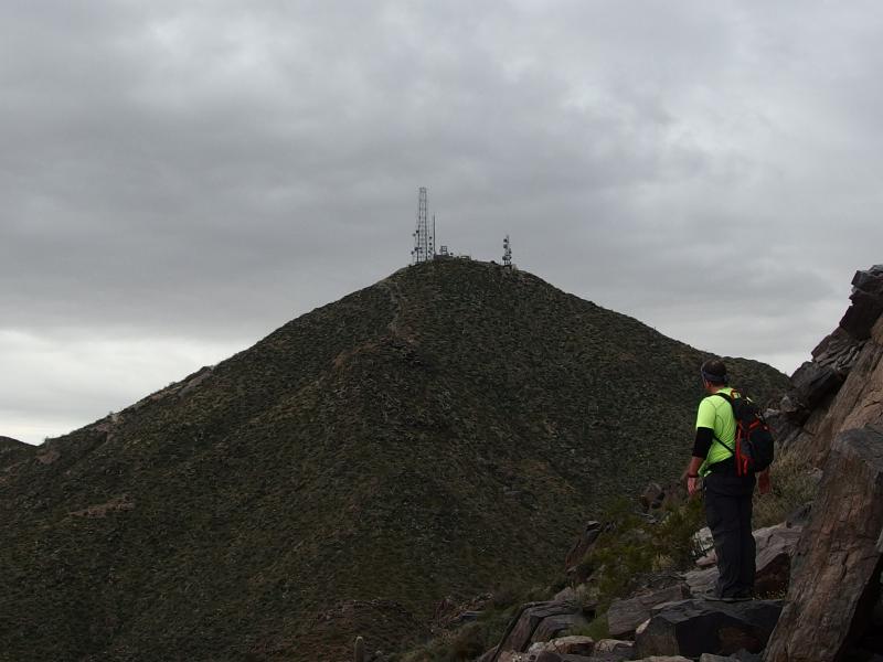
Looking over at Thompson Peak
Odd light filtering down on the Superstitions
Salt River winding far below
At least we gained some excellent views to the east. The sun was trying to poke out from the dark clouds overhead and a few shadowed rays of light rained down over the Superstitions. More exciting than that was the bright glimmers of reflection below us. From here we could actually make out sections of the Salt River. We had never seen the river from other hikes, only sections of Canyon Lake from Battleship, and I was hoping to know more about the only real source of water for Phoenix. Maybe Usury would give us some more views of the lower reservoirs.
It was time to descend back to the pass below. We weren't about to continue on, not with the uncertain weather and Kirsty's thin shoes. Going down was more difficult over the loose rocks and it felt like it took twice as long to return to the real trail. Chris beat us down again and started heading down to the east. Away from the car. We hurried to catch up. We were going to attempt the full loop around the back of McDowell and back up to Windgate Pass whether the weather would hold out or not.
The way east was depressing, as we knew every foot we travelled downhill would have to be regained eventually. Windgate is almost as tall as Bell's Pass and our trail would drop down some 500' along the way. Which wasn't a large amount, it was just a bit depressing. We walked and snacked and enjoyed the different views from this side of the range. The backs of the mountains were new, the view east was new, and our trail slowly wound around to give us more views to the north.
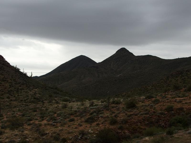
Southern peaks and the Thompson Jeep trail
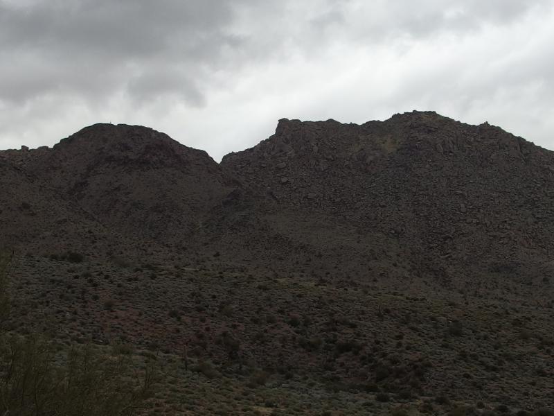
Messy rocks stacked up on East End
We had seen a few more groups while we were playing off trail and only one or two hikers back here. I'm fairly certain that this loop is popular. Maybe the uncertain weather was keeping the smarter hikers to shorter routes. A few drops came down, light splatters against the dry earth, and we pushed forward faster. The sprinkle didn't last long. By the time we were circling back to the west they had stopped and the dull grey clouds were done.
Over to Windgate Pass
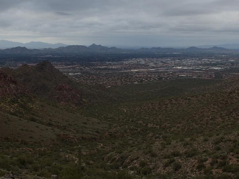
Trudging up to the next pass was a boring affair. There wasn't much to see aside from the rocky bulk of to the north after a few choice bends cut off the eastern view. The trail climbed slowly as it weaved around the different cuts and gorges coming down McDowell. When we did come out upon the shallow Windgate Pass the long view back down to Scottsdale almost seemed welcome. We had many miles ahead but at least we would get an open view before us.
Ugly black rise near the pass
Back for a view of Scottsdale
The trail steepened on its way down off the pass, quickly dropping along the side of McDowell/Drinkwater Pass. I snuck a few looks up the hill. There wasn't much up there, just a tough climb that hikers were strongly discouraged against tackling. The thought of bagging all four peaks of this range was strong. I didn't see any trails or markers up there, just a tough climb.
Chris began to talk about a spot ahead called Inspiration Point. A small cut off from the main trail led to a bench with a nice view over at Tom's Thumb. Looking for the point kept us distracted. Kirsty was starting to complain about knee pain from the downhill stress and I was growing worried about the time. I had hoped to be home to watch the kids by noon. Meanwhile, Chris spotted a pair of javelinas in the wash below.
Pair of javelinas below the trail
We stopped and watched the pair of little pigs root around the rocks for a while. It was tempting to sneak down for a closer look, though the rough terrain and our clumsy approach would probably warn them far in advance. A few minutes later we found the poem rock that marked Inspiration Point. The bench was long enough for all of us to sprawl out and ruffle through our gear and the view was outstanding.
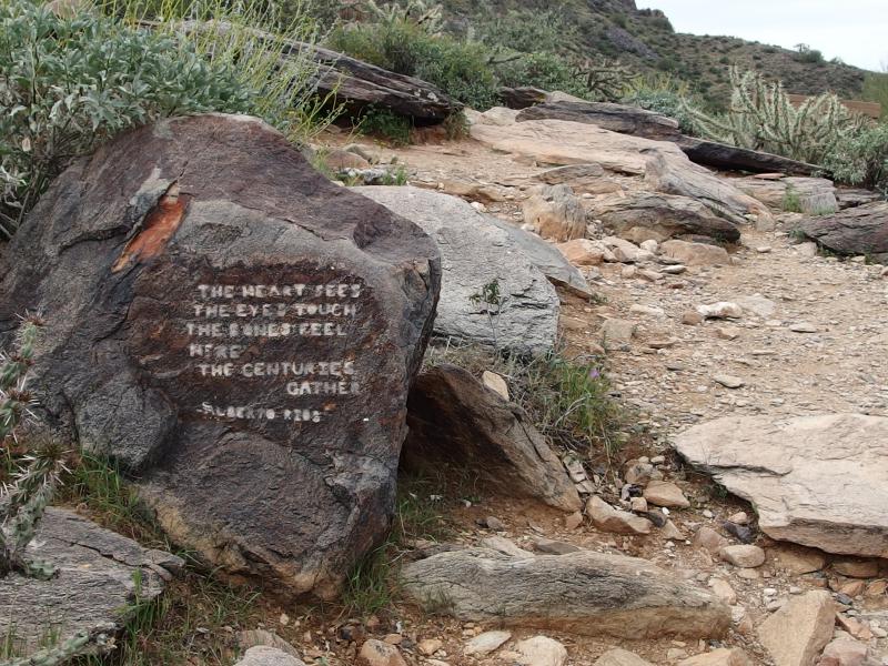
Little poem at Inspiration Point
Tough trail to Toms Thumb
There was a path that wound its way up to Tom's Thumb against the dark rock. That would be a long climb compared to the northern approach that Chris and I had taken some months ago. And it would make a tough loop if one continued past Lookout Mountain and back down on the other side of Windgate Pass. I could see it being a good training route, just not one I wanted to tackle today.
After a long rest we started back down the trail. On the way we passed a pair of fair-weather hikers carrying Starbucks Coffee on their way up to Inspiration Point. We were getting back in the crowded part of the McDowell Preserve and the morning's clouds were breaking up under the sunlight.
Dappled sun on the northern hills
The rest of the descent was fairly bland. We met up with the Gateway Loop with its dozens of hikers and made it all the way to that trailhead before cutting back south to where our cars were parked. Our passage was slow between Kirsty's knee and the small crowds of people that we had to step off the trail for. As we finished the hike, carrying a few small doggy bags that past hikers were too lazy to pick up, I snuck a glance at the towering Thompson Peak out there. Maybe next time.
Sunless Thompson Peak still waiting for us
Comments (0)