Lower Red Tanks Trail
Sleep came in hour-long chunks at best near LaBarge Spring. The temps dropped under the clear night sky to the point where I, fully dressed in the hammock, was rolling uncomfortably around by midnight. Perhaps a sleeping bag would have been a good idea after all. Every time I opened up my Kindle to read or turned on my head lamp to get out of the hammock and move around for heat, desert inhabitants would erupt in small scurries of activity, probably on edge from my presence and unnatural light sources. At two a group of animals (maybe javelinas) came in from the trail, passed within yards of my sleeping location, and lumbered up to the spring on the other side. So when I woke up for the dozen-th time and noticed my clock said 3:45 I lept up with excitement. It was time to get moving for the day.
Complete darkness still masked the land around me so I moved awkwardly with a headlamp and got the basic things done. There was packing to do, water to filter, breakfast to cook, and clothes to switch out. I drank three liters, and then pulled up to my full three liter capacity, before leaving the overflowing LaBarge Spring. It was now five in the morning and I had over eight miles to cover before this adventure would be over. And there were two undependable springs between me and Peralta Trailhead.
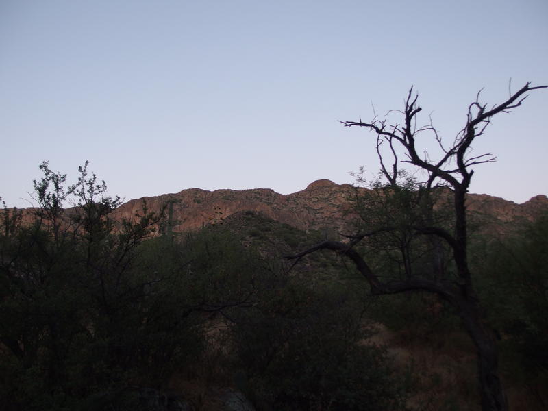
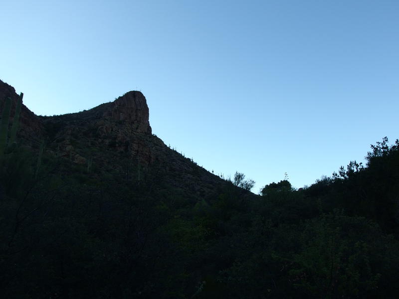
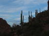
Predawn light on the hills
Today's hike was planned with a cautious head. I knew I'd be tired after yesterday and that, with no water sources to lean on, the primary focus would be getting out of the wilderness before it got too hot. With a predawn start and the tall mountains to the east there's a good chance that the sun wouldn't hit me for several miles. I'd probably be somewhere in the Whiskey Springs area by then, with one good climb up to a saddle, and then a long march through Barkley Basin. I had no doubt that I'd be done long before noon today, before the temps hit triple digits, and that three liters (plus a full belly of water) would be enough to last me until then.
First, though, I had new trail to cover. The section of Red Tanks Trail between LaBarge Spring and Upper LaBarge Box, two miles along LaBarge Canyon, is a section that I haven't traveled on yet. It heads south from the spring, slowly gaining elevation as it passes by Music Mountain and Trap Canyon, before entering the dramatic Upper box. All I've heard about it is that the path can get overgrown easily by catclaw (a trait shared by much of the trail along this canyon), something I confirmed soon on my quick morning trek.
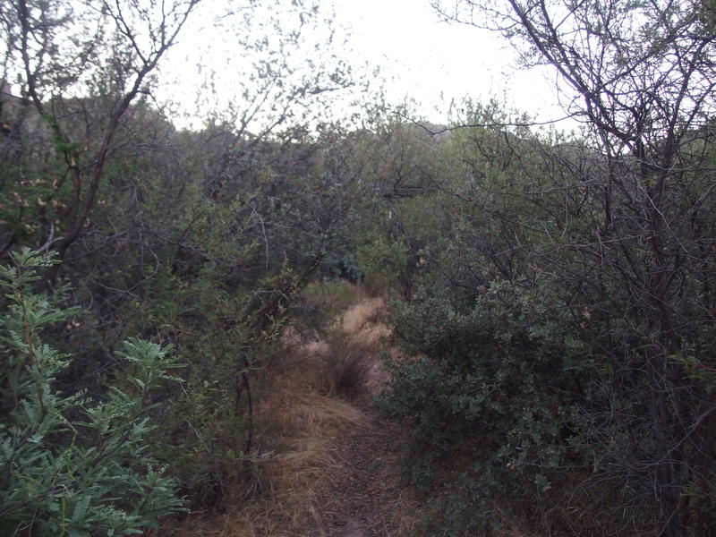
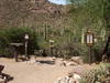
Some thick sections on Red Tanks Trail
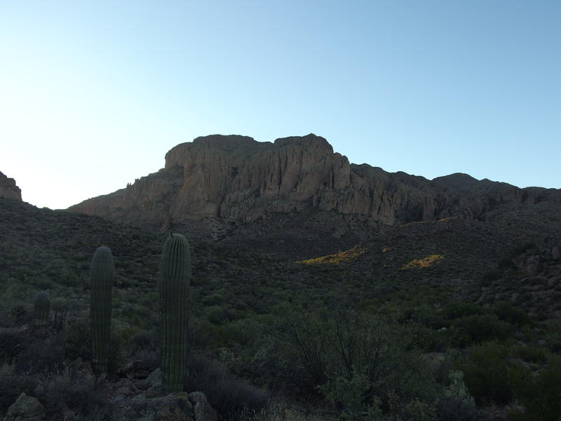
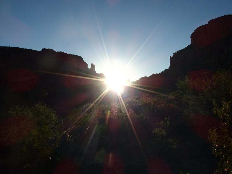
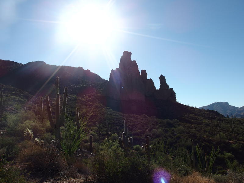
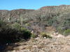
Sun beginning to rise behind the mountains
I can complain about the catclaw, but I can't complain about the temperature this morning. For as cool as I thought sleeping in the creek bed had been, the trail was even cooler, feeling more like a high sixty than the forecast low in the eighties. It felt wonderful on the thin sheen of sweat that collected on my forehead as I trotted forward. I ignored the branches reaching out to me from either side with crooked, thorned fingers and swung my poles and legs on with a determined gait.

Some purple prickly pear fruit
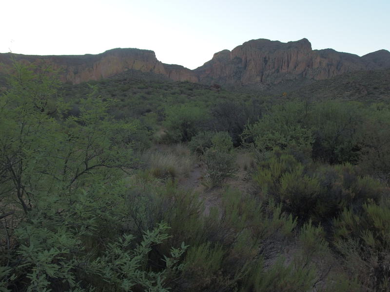
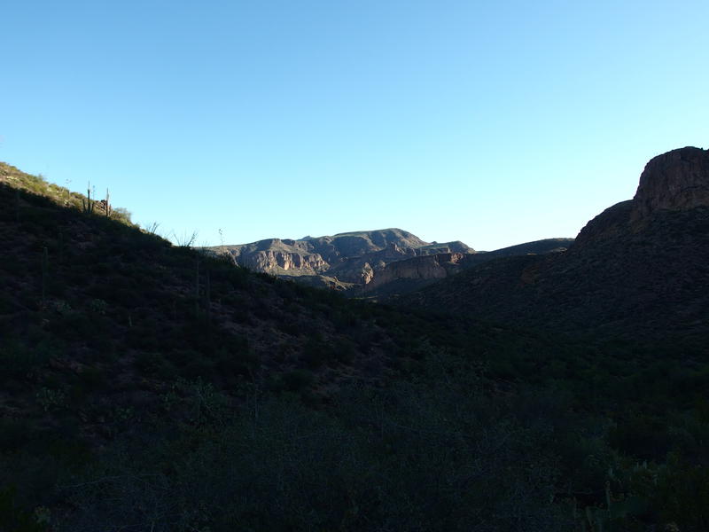
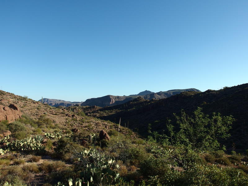
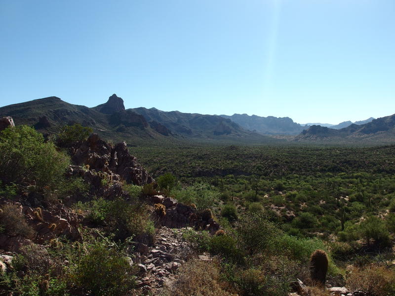
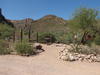
Coffee Flat Mountain coming up
The first bit of the hike passed by slowly, then as I slipped into a familiar hiking mantra the rest slipped by quickly. The trail jumped from one side of the creek to another and I tried to keep track, knowing that there was only so many crossings before the end of this section, yet I lost count in short order. Flat sections of trail were broken by sudden drops and little climbs that all blurred together. Within forty minutes I was standing on a small rise, looking south to Coffee Flat Mountain, early morning light filtering down through Upper LaBarge Box and signaling the end of this section. It was almost time to join up with Whiskey Spring.
Heat began to seep into the air around me as I approached the box, probably warmed up by the morning sunlight. I did not mind. If I had been with Chris today, or had gotten a later start for some other reason, this whole area would be many degrees higher. My early-early break from camp was paying off. I descended down the last descent, weaved through thick clusters of low-branching trees near the junction, and then jumped over to Whiskey Spring Trail. Now I was on explored trail again, retracing the route Chris and I had taken on our Dripping Springs Loop several months ago.
Sun shining down through Upper La Barge Box
It may have been explored trail - that didn't make it familiar. I remembered the first slow climb, the way it looped around a small outcropping (that plunged me back into welcome shade), and then it immediately felt different. There were more crossings than I remembered, more confusing sections than before, and I kept glancing to the left for Whiskey Springs itself. Finally the tall upthrust of rock showed up and I recalled that the spring was below it. When a dirt-packed path dropped down the bank I dropped with it. My first undependable water source (at the trail junction I just passed) had been dry; it was time to check the second one.
Dark shade on Whiskey Springs
Several months ago Chris and I had found several pools of water inside the cement trough which, even with grass growing deep within it, had held enough water to easily pull from. Today there were no pools and only one small hole with the glint of water at the bottom in the trough that teemed with bees. Even if I could get my water cup down that hole to pull out half a liter I'd be disturbing far more bees than it was worth. I ambled back up to the trail, found a rock to sit on, and took my first sip of water since leaving camp this morning.
This dry spring didn't worry me. I hadn't counted on finding water here anyways. It was a good thing to check on, though, for future hikes. Another sip of water and I started munching on a granola bar for energy, as my oatmeal-and-coffee breakfast was beginning to wear off. This trail will soon bend sharp to the west and make a sudden climb and I wanted to be prepared for it.
A harsh line of sunlight creeping down the hillside
It was along this climb that I saw the hot line of sunlight cut across the trail and I knew my shaded hike was over. For the last three miles I had been lucky enough to stay in the coolness cast by the mountains above me. Once I climbed up out of this wash and over to Miner's Needle I'd be in the sun for good. I paused one last time, taking another sip of water and finishing off that bar, before leaning into the grade. I wanted to feel the burn on this one.
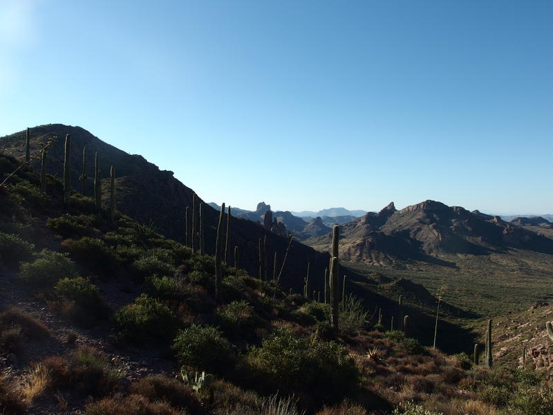
Malapais Mountain rising up in the distance
A long fifteen minutes later and the climb was over, the one main climb that I had been thinking about all morning. Huh, maybe this trail isn't so bad after all. I paused to wipe some sweat off my forehead and take a good look around. From this saddle a lot of things opened up - Tortilla Peak was visible over Music Mountain and the long slope of Miner's Needle slid towards the summit. Soon I'd be next to the Needle and on my way down to the basin below.
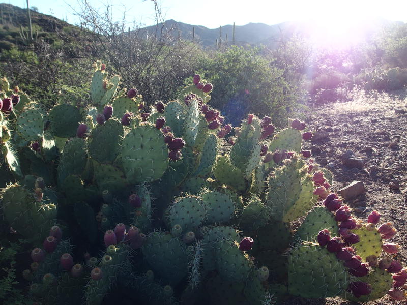
Early morning light on the prickly pear fruit
Tortilla Peak poking out above Peter's Mesa
Long slope up Miner's Needle
This section of the trail was familiar. From the saddle it swung around a onto hard rock, different views opening up as it continued west, and with one final look over to Weaver's Needle it starts to drop. I still find it cool to see both needles from one spot, though there are plenty of nearby peaks where it happens. This is one of the few trails that it happens on, I guess. After getting a few more photos I finished the this section of trail and paused at the junction with Dutchman.
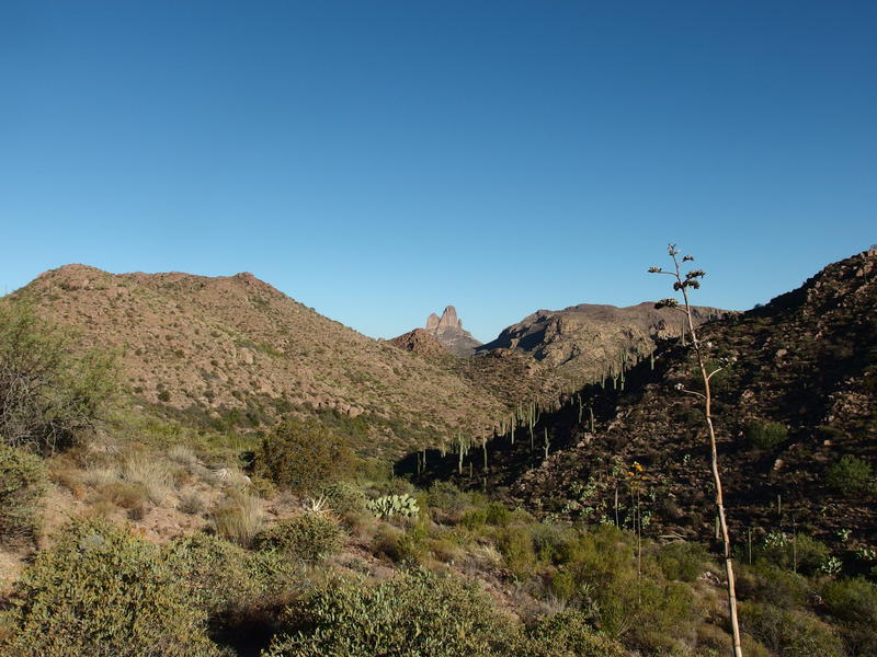
Weaver's Needle far out beyond Bluff Springs
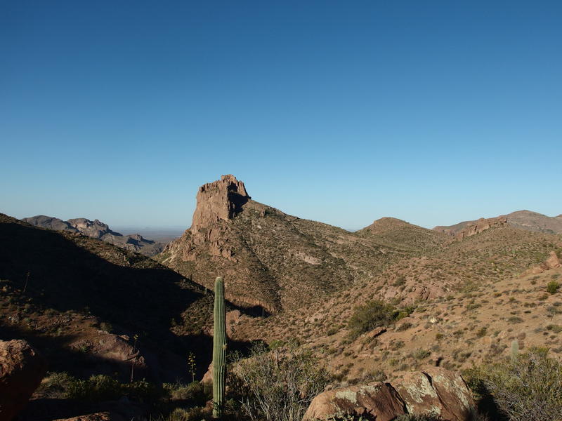
Buzzard's Roost in the southeast
Buzzard's Roost lay out to the southeast, calling to me with a treacherous promise. I've heard that ascending it is semi-possible and dangerous, a section of exposed climb that is great for testing nerves. It does make for a tempting overnight, so close to Reed's Water and all. I could head out there in the afternoon from Peralta, sleep under mesquite trees, climb it during sunrise and be back at the car before ten. Shoot, the way I was moving today I'd be back in the car before ten. It was just after seven now and I was already halfway done with today's hike.
I stopped only long enough to finish one of my liters of water and pull out a fresh sugary snack to munch on before trudging down Dutchman Trail. Last time I was here I headed north to Bluff Springs Trail and let Chris do Barkley - now I was doing Barkley. It's shorter by a few hundred yards and has much less elevation change, though Barkley Basin tends to cook in the afternoon heat. I wasn't worried about the heat this early in the morning. In fact, much of this trail next to Miner's Needle was still in shade as it swings along the cliffs, something I enjoyed as I stepped quickly down the rocky way.
Hot morning sun over Cathedral Rock
The long, hot trek through Barkley Basin
Coffee Flat Trail branches off near the base of the climb and I stopped here to take some photos. It was hot down here, fully exposed in the sun, though with my two liters of water still weighing on my back I had no concern. Two liters and only 2.6 miles was a luxury I seldom get to enjoy. I started bumbling westward, using my trekking poles to push my pace faster as the trail wound and twisted between rocks and washes.
I've done this section of trail too many times to talk much about it. I zoned out as I moved, only stopping for water and snacks. I didn't want to get back to the van with water in my pack. Plus, my pee had been clear all morning, and I didn't want to ruin that with a touch of dehydration on the last stretch. The only thing I kept focus on was rattlesnakes. I had expected to bump into some during this entire trip, listening for their rattle and watching for their bodies on the trail, and so far had only been alerted by the long tales of darting skinks.
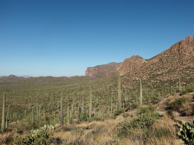
Last look over Barkley Basin
The last climb over the ridge next to the trailhead was enough to push out a new layer of sweat, and then there was just the descent and the drive. Two cars were in the parking lot now. I had seen no one at all this weekend, just a few parked cars, and had barely seen any footprints on the trails. Which was lovely. As I swung my gear and changed into dry clothes near the van I realized that, even after eight miles of hiking over 3.5 hours this morning, I felt very good. Yesterday I had ended on such a drained and tired note, and today I felt great. That darn heat must have sapped an awful lot out of me.
Comments (0)