Bluff Springs to LaBarge
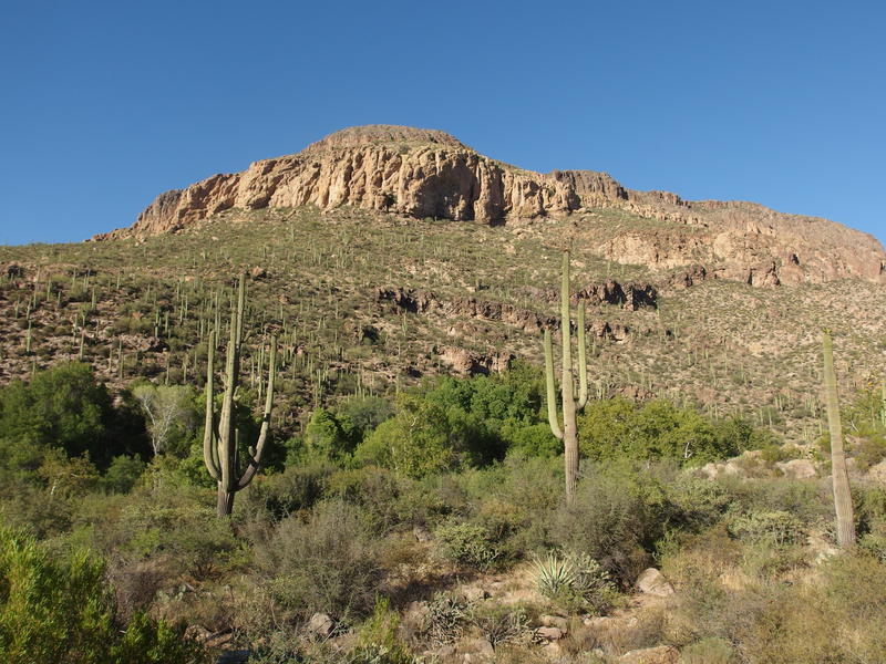
Peralta Road was in rough shape, with huge rocks, loose sand, and deep ruts at every wash crossing. It was obvious that a major storm had dumped some water here, though I couldn't think of when. Seems like it's been dry out here for a long time. Maybe that little sprinkle we got in Gilbert last week had been a full-on storm over here? Whatever it was, my poor Dodge Caravan was bounced around heartily on the drive, and when I finally parked at Peralta Trailhead I happily stepped out only to be slapped hard by a wall of hot summer air.
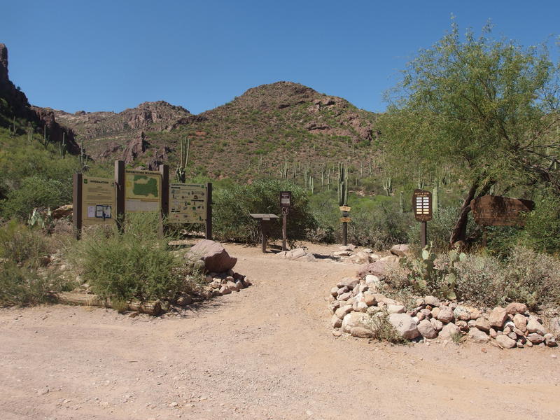
Busy signage at Peralta Trailhead
Summer hiking in the Superstitions is generally frowned upon. There was a hiker who recently died on a trail not two miles from this very trailhead from the heat, one of several from this season alone. It was with little surprise that I saw only one other car parked here on Friday afternoon and that the sign-in log for the week was sparse. I wasn't too worried about it. My plan was solid and I knew my limits, and with less than five pounds of overnight gear on my back, I had no concerns about getting slowed down or stuck away from water.
My plan was pretty simple. I was going to do a little loop out to Charlebois and back. Bluff Springs and Dutchman Trail would take me over to Charlebois Spring, and then Red Tanks, Whiskey Springs, and Dutchman Trail (the Barkley Basin section) would bring me right back to the trailhead. I've already been on most of these trails, with only a few miles of Dutchman and Red Tanks Trail being new ground, and I wasn't worried about conditions. Plus, this little seventeen-mile loop goes past three separate springs, all of which are dependable year-round.
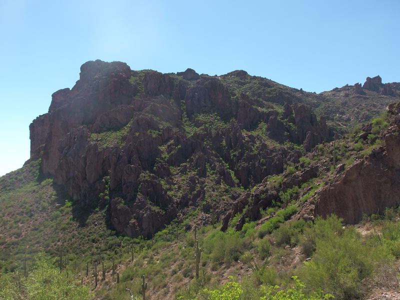
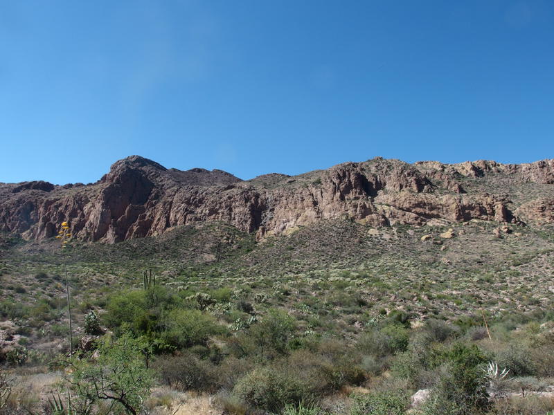
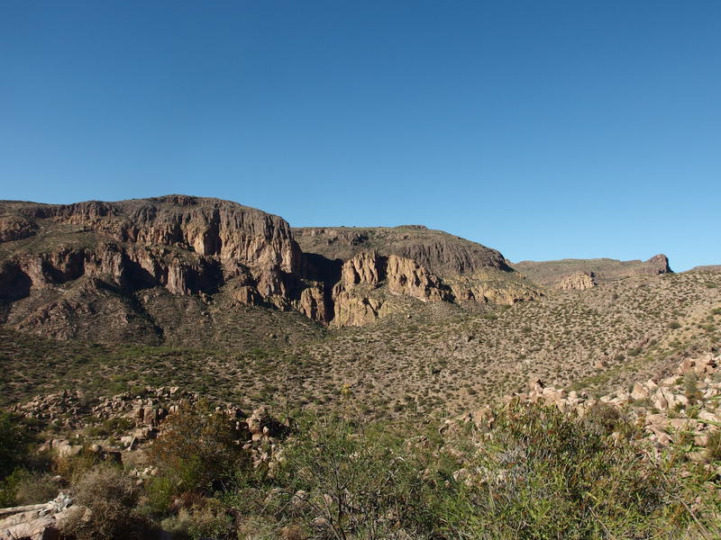
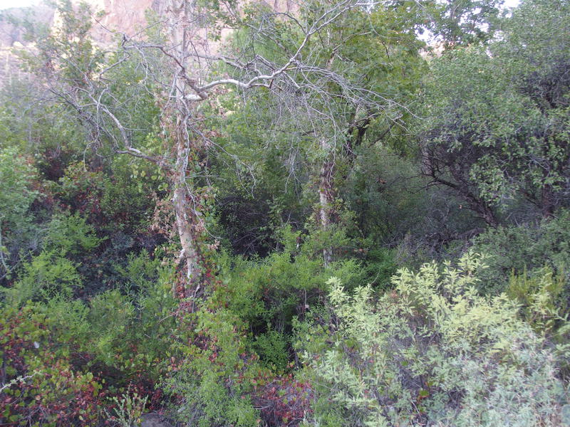
Bright green growth on Dacite Cliffs
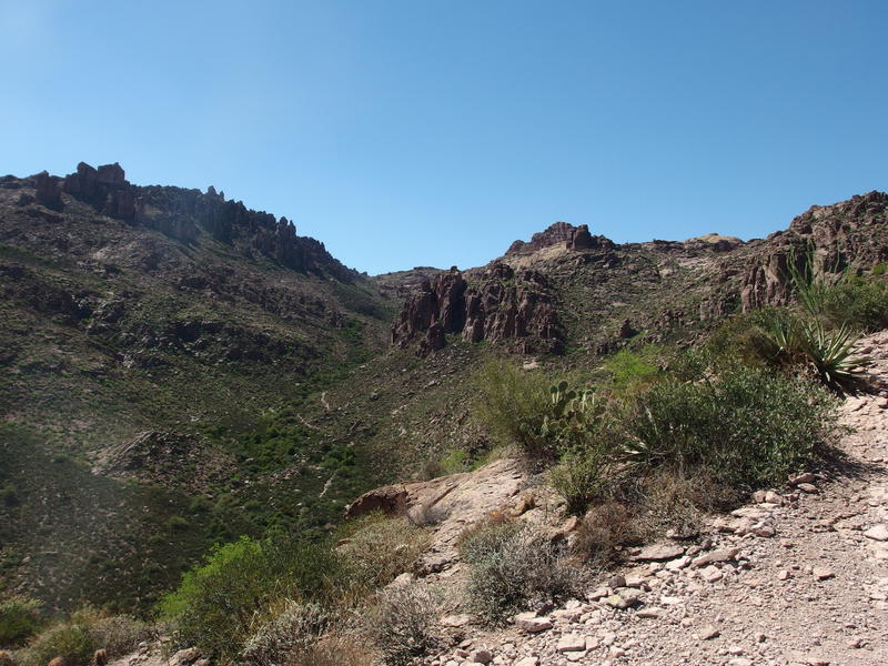
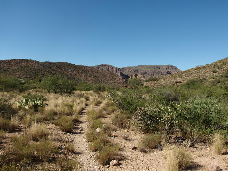
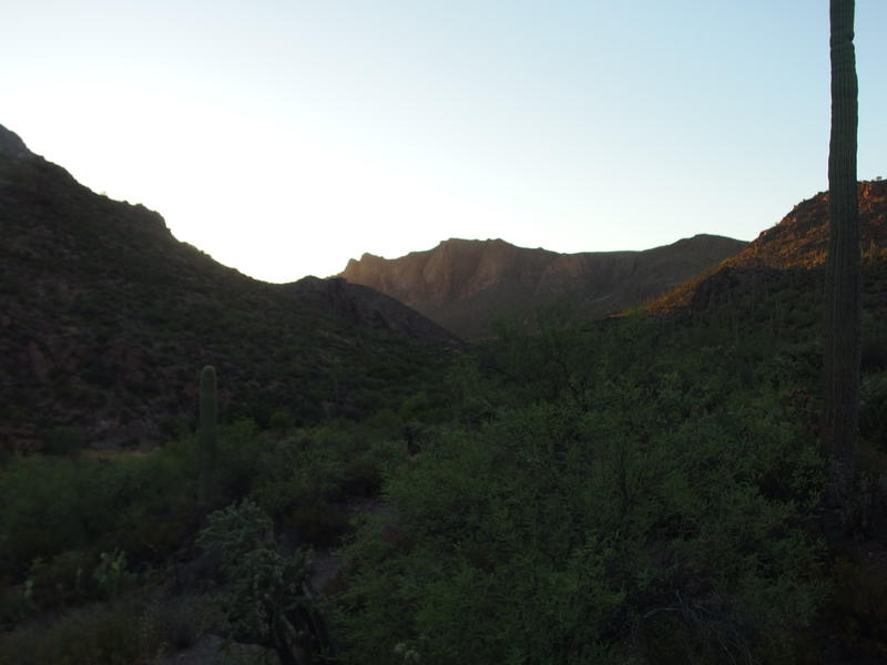
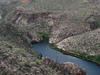
A long view down into Peralta Canyon
Cardiac Hill gave me plenty of doubt about my 'simple plan'. This section of the Bluff Spring Trail climbs 500' in a half mile and, with the hundred-and-five degree summer air scorching my lungs, it left me soaked in sweat and gasping within twenty minutes. I tried my best to pace myself. On one hand I had two liters of water and there was a spring three miles down the trail, meaning that I shouldn't worry about sweating a lot or drinking too much. However, today was a lot of miles, and it was three in the afternoon. I didn't want to burn through all my energy right away.
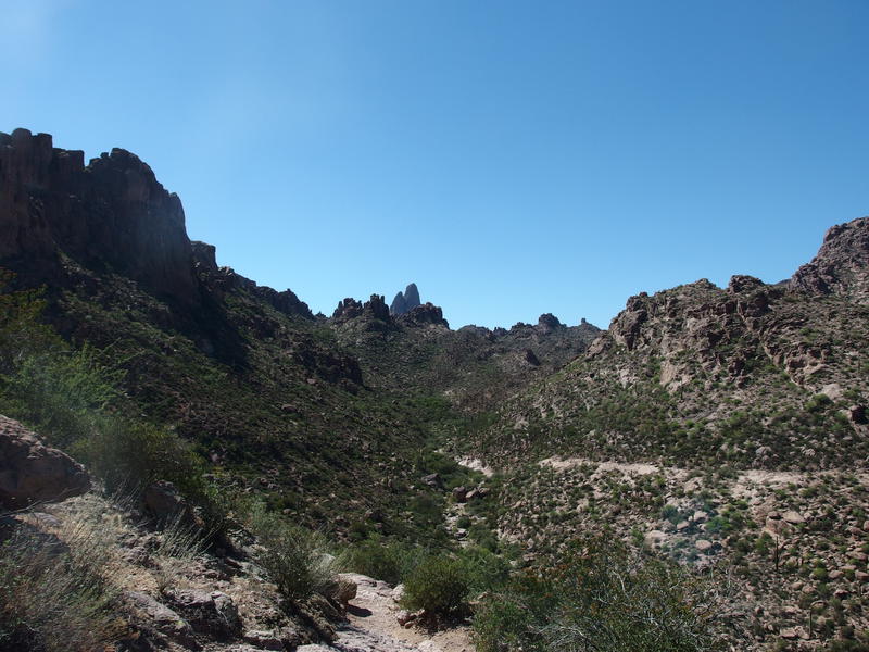
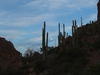
Weaver's Needle poking out beyond Barks
Eventually I crested the climb and got a good view along Barks Canyon, complete with Weaver's Needle poking out in the background. Heat radiated from the rock walls and I felt the now-familiar baking effect that define desert canyons in the summer. I tried to look for a trail down on the bottom of Barks, as I've heard of a path that goes down it and into Barkley Basin below. There was hints but nothing solid. Maybe something to look for on a future outing.
The slight downhill grade was a welcome change and I cruised along, swinging my trekking poles and arms in overlarge arcs to try to dry out my sweat-soaked torso. It kind of worked. The trekking poles also made lovely clanging noises on the rocks to warn any rattlers of my approach. I was not in the mood for that kind of wildlife encounter. When I reached the wash at the bottom I looked around briefly for the Peralta stone, hoping to find it without a GPS or waypoint or good direction, and found nothing. I felt a little light-headed so I took the opportunity to sit in some shade and have a little snack and water. Terrapin Trail junction had to be close, and a short mile after that would be my first spring.
Tall cliffs on Bluff Springs Mountain
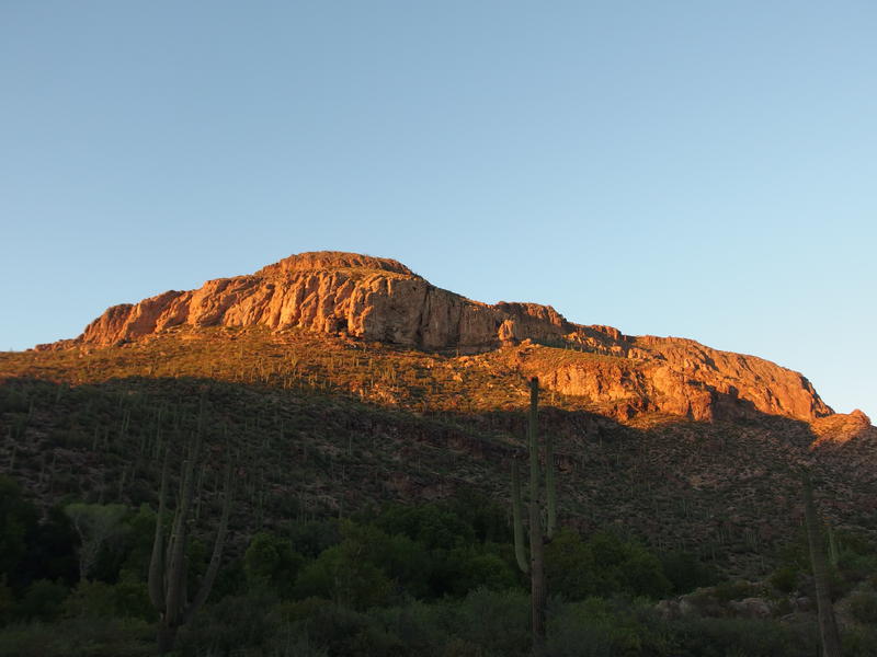
That break in the shade was much needed. A salty snack mixed with half a liter of water and that light-headed feeling vanished. My legs were still exhausted, and the next 250' climb did not feel great, but my confidence was back. I made it to the Terrapin junction and mentally ticked off the first milestone. 2.1 miles done, easily the hardest stretch for today, in just over an hour. Bluff Springs Mountain rose high above me - now all I had to do was make a long circle around to its other side.
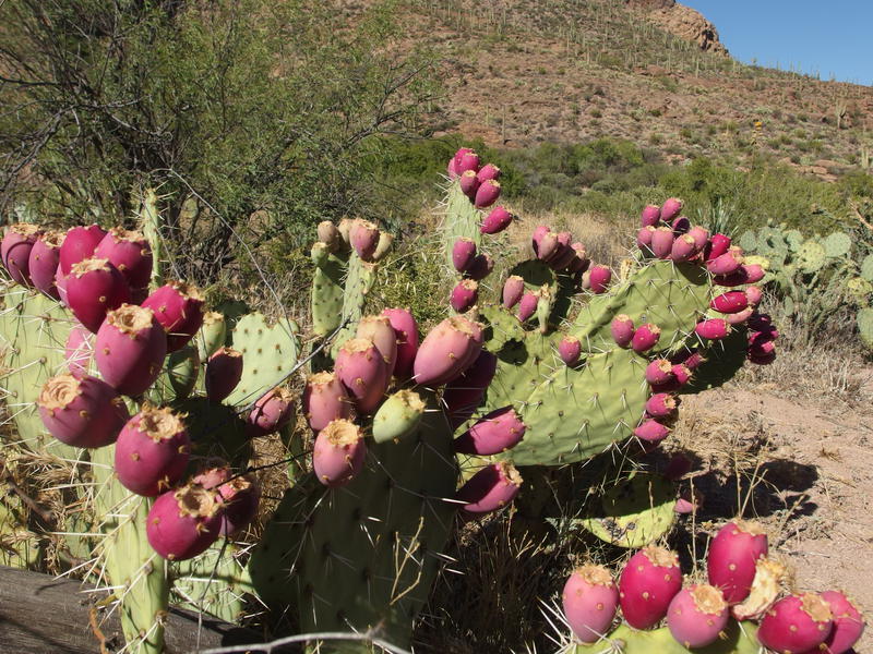
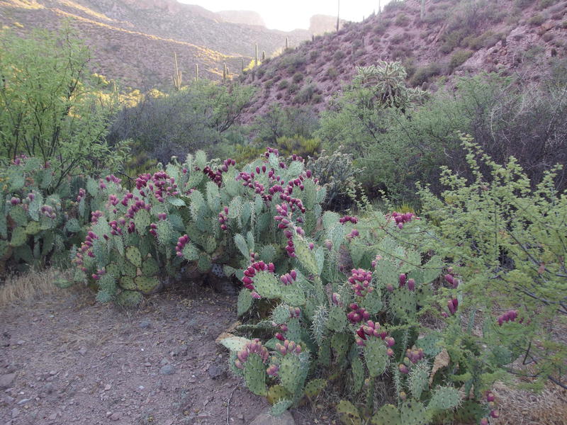
Bright red fruit on the prickly pears
Along the next section of trail, the mile of Bluff Springs Trail between Terrapin and Dutchman, I bumped into some beautiful prickly pears heavy with fruit. I had seen some along Cardiac Hill too, and had been too out of breath to take good photos, so I took some time now to get some close-ups. I thought of picking some and trying a nibble and thought again - of course the fruit would have furry little spines on them.
The rest of the mile passed in annoying slow motion. It was only a few months ago when I traveled this going the opposite way on the way back from the shortened Dripping Springs Loop with Chris and much of it was boringly familiar. The path jumped from one side of a wash to another, rock hopping and sliding up the banks, and was squeezed pretty tight between the shoulder of a mountain and some spiky hills. When I finally reached the Dutchman junction I didn't waste any time looking for the questionable Crystal Springs and instead pushed on to the more dependable Bluff Spring to the east.
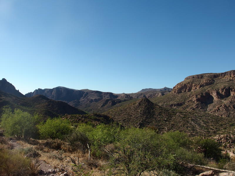
Bluff Springs Trail, with Music Mountain in the distance
In the distance rose the formidable Music Mountain, something I've seen from a distance a few times and never really paid it much mind. Today I did. My planned campsite would be right below its western face, and one day soon I want to bag that peak. I wouldn't be climbing it from this side. It was nothing but cliffs on top of cliffs from here. The eastern face is much more reasonable.
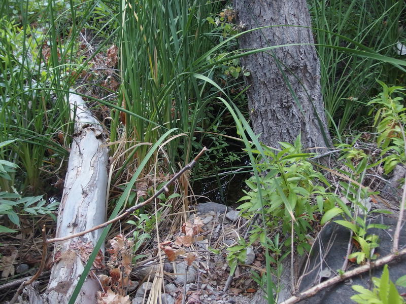
Beyond the Dutchman junction was the little spur trail to the springs. I pushed on, sweat dripping down my face and blurring my vision. Nothing triggered any memories of this spur, even though I've been here at twice now, and I ducked under the undergrowth and climbed up the slope hoping I was in the right spot. Again, I was out here without a GPS, so I was operating by memory and defined path alone. The trail proved true and I found the dripping pipe without issue.
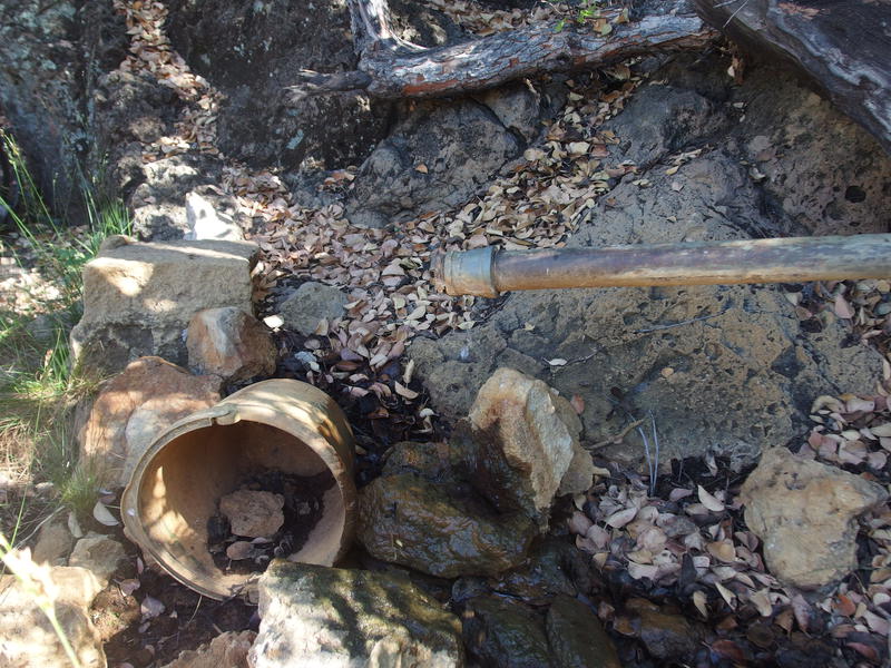
A slowly dripping pipe at Bluff Springs
I drained the last of one of my liters and set to filling it back up. This was not an easy task, as there were several dozen bees crawling around the wet rocks under the pipe and buzzing around, plus a handful of overhung wasps on the pipe itself. I did my best to forget the stories Katie's been telling me of the Africanized bee attacks and carefully collected the drips. I filtered, drank some, and then pulled some more. After twenty minutes I walked away with two full liters and frayed nerves.
From here on was new trail. I was excited to walk on new ground yet slightly apprehensive, as I had no past experience to rely on. As I walked I kept a close eye on the face of Music Mountain as it grew before me, knowing that the end of my hot hike lay underneath those cliffs. The south face of Bluff Springs Mountain also drew my attention. There were little peaks and tall cliffs and large swoops, all forming the side of Hidden Valley up there, which is another location I still need to explore fully.
The hot southern face of Bluff Springs Mountain
Black Mountain, Peter's Mesa, and Tortilla Mountain
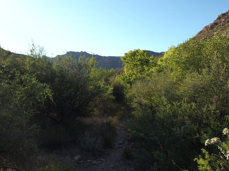
Just as my hopes were getting up there the trail made a sharp turn north, away from Music Mountain. That's right - I wouldn't be going directly to it, as the trail makes a right angle turn and plays along the sides of some hills before dropping into LaBarge Wash. It'd be too easy for the trail to make the shortest route. At least I got some good views of the mountains to the north. On the left was Black Mountain with Malapais poking up above, in the center the low swoop of Peter's Mesa, and the right had Tortilla Peak in the distance. Ah, Tortilla - one day I'll claim that summit.
There was an important detour to take after that turn. I watched carefully for it on the left side of the trail, looking out for a spur trail or cairn to mark the turn off, and found nothing. Instead I cut off-trail when I saw the old giant rear up some hundred feet up the hill. There's not much left of the huge saguaro, which once had over fifty arms and was listed as one of the largest cacti in the Sonoran, and I kicked myself for not visiting it last year when at least half of it was still alive.
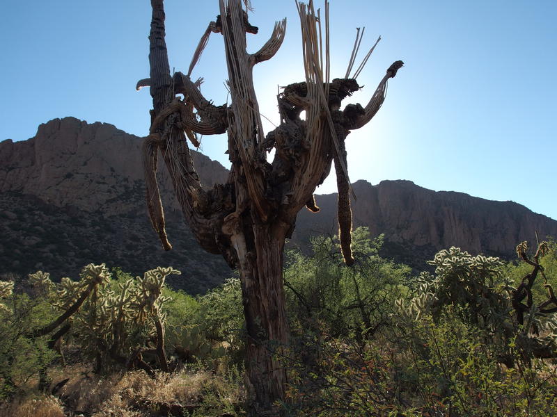
Somber remains of a huge saguaro
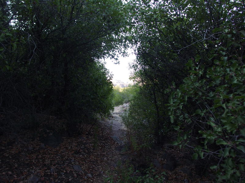
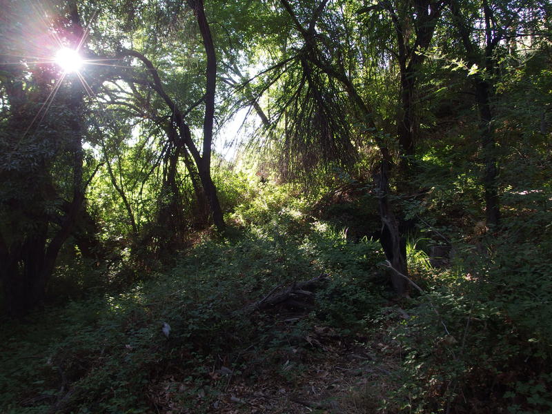
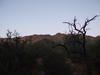
Shaded section of trail near Holmes Spring
Back on the trail there was a lovely overgrown section of trail near Holmes Spring to tunnel through before more winding along the hillsides. It was starting to descend in earnest now, and more importantly, the tall cliffs of Bluff Spring Mountain kept me almost entirely in shade. Which felt lovely. I stopped a few times and drank water, even munched on a Clif Bar to keep my energy up, and was soon near LaBarge Spring at the Red Tanks Trail junction.
A green oasis under Music Mountain
Lots of water at LaBarge Spring
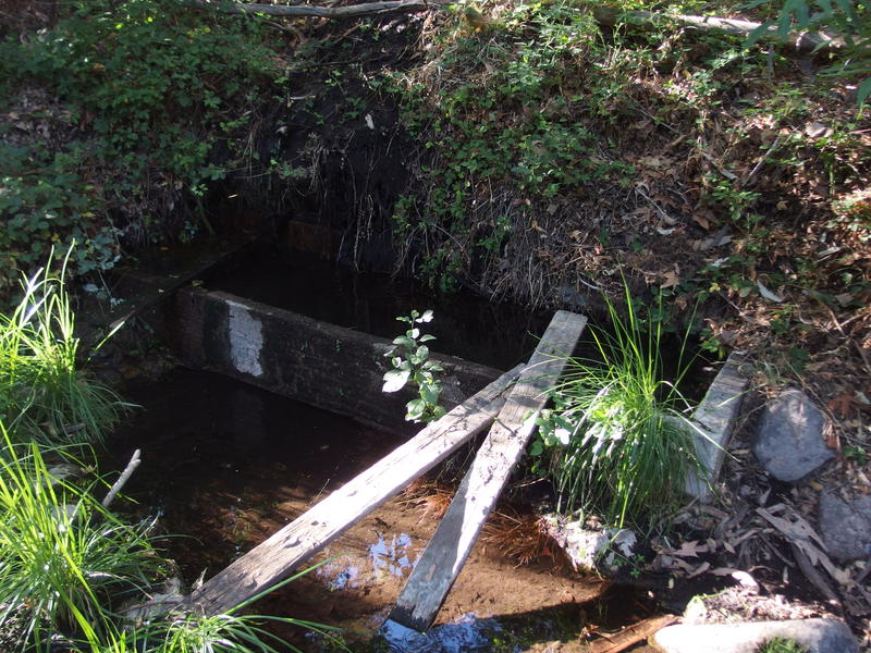
LaBarge Spring was fantastic. Green growth overhang the all of the tank and water dripped from a score of different plants into the trough, overfilling with clear water and collecting in huge, soft puddles underneath. It took me a while to find the spring - first you have to cut off of Red Tanks Trail, then cross an overgrown and rocky section of LaBarge wash, and then climb up an eight-foot wall of packed dirt to find the trough. There's no cairns or marked path either, this is all based off of luck and know-how. I stood a safe distance away from the trough and licked my dry lips. It was alive with the buzz of bees.
Lots of green around the perennial spring
Well, the day wasn't over yet. Sure, it was close to six, and today's hike had really wiped me out. There was over an hour of daylight left, though. I didn't want to sit around and wait for the bees to go to bed for that long before filtering. So I turned away from LaBarge and headed to the namesake of this loop, Charlebois Spring, which lay a mile up Dutchman Trail to the north.
Charlebois held several things to look forward to. First, it might actually be a better place to camp then LaBarge Spring. The angle was better for the sunset for sure, and I've heard that some of the upper pools are big enough to take a dip in. Also, there was the Master Map to find, the legendary rock scratches that are part of the whole Peralta/Dutchman mine legend. From the pictures I've seen it all looks like typical Native American hieroglyphics, but that's ruining the fun. Finally, it is a spring, and I've only been to the lowermost pools during a rather wet time of year. Knowing exactly how much water and where it was would be helpful on future summer hikes.
On the trail from LaBarge to Charlebois
The hike up LaBarge wash was not a fun one. The shade for the last mile or so of Bluff Springs had spoiled me - now I was walking directly into the light of a hot sunset. I kept my eyes peeled for any sign of the end ahead, guessing at formations on the hills around and repeatedly guessing, and then passing by, canyons that weren't Charlebois. When the trail finally climbed up a little rise and I saw the sign for Peter's Trail I knew I was close. A little drop, a spur trail to the right, and soon I was in the thick green that just had to be near the spring's pools. Cutting down the bank I found a gap in the green growth that was just large enough to pull water from.
Green trees around Charlebois Spring
Lower pools at the spring
I settled in for a long stretch and drank a liter, pulled water, drank another liter, etc. The water tasted great and filtered easy. There were no bees here, only a large red beetle that provided some amusement as I lay performed the repetitive task of purifying and drinking water. A full twenty minutes passed before I got up and shouldered my gear, two liters sloshing around with a welcome weight in my pack. There was barely enough time to make it back to LaBarge Spring before the sunset so I decided to cut my search for the Master Map short. LaBarge Spring had much better trees for my hammock and returning to it tonight meant one less mile to walk tomorrow morning.
Even more prickly pear fruit
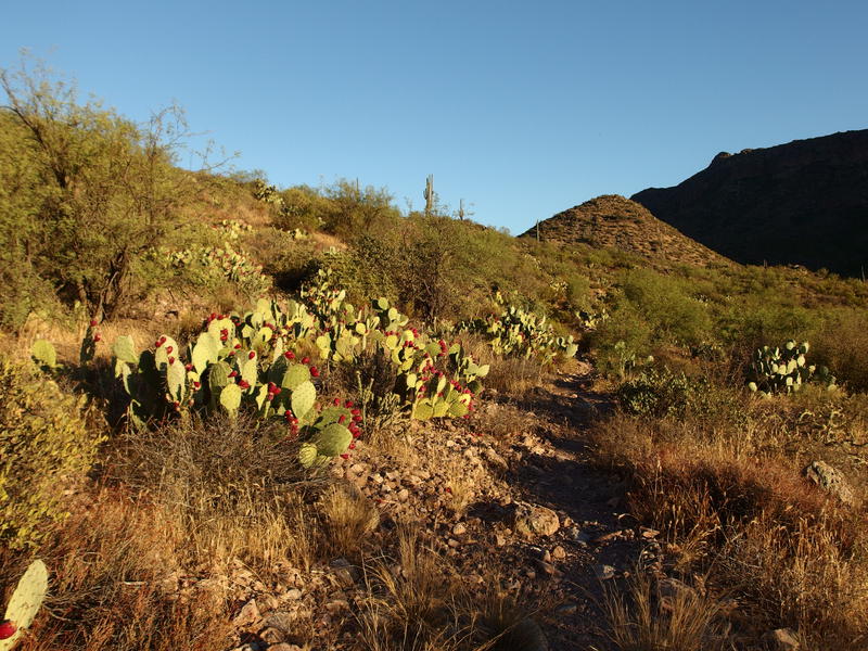
Evening sun shining on the fruit
Last light shining down on Black Mountain
The hike back did not go that well. I wasn't that thirsty any more, and the views of prickly pear fruit and Black Mountain to the north were great, I was just reaching the end of my limit. Over seven miles covered in temperatures above 100 had taken its toll on me. Plus, my right knee was chafing badly around my brace and a swollen left foot (ant bites from a week ago, hooray) was getting more and more bruised. When I finally rolled back through the Bluff Springs Trail junction and into the creek bed below the spring I wanted nothing more than to curl up in a hammock and sleep.
Evening glow on Music Mountain
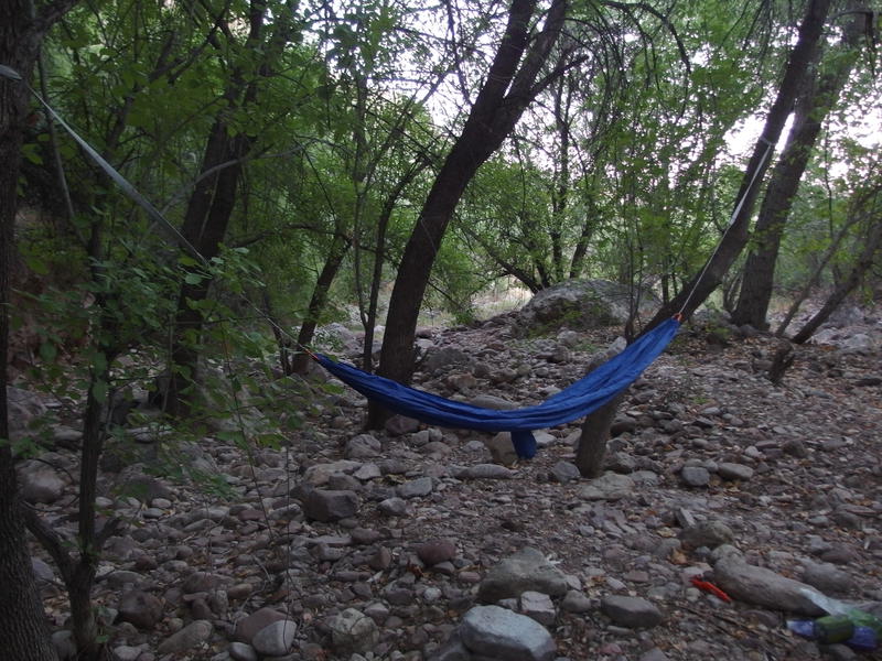
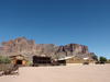
Setting up camp in the creek
Things are never that simple, though. In the dying light I set up the hammock between two trees, doing my best to find a comfortable sag, and then tied a ridgeline and dangled my mosquito net over the whole thing. I did not want moth visitors curious about my late-night Kindle reading. After that was done I had to take an awkward wipe-down bath, change from my sweaty day clothes into dry camp clothes (which was merely a fresh pair of boxers and socks), and then started on dinner. While my meal cooked I headed up to filter a few liters from the spring, which the bees had left alone with the sunset, and then sat down to eat. An hour after returning to LaBarge Spring and I was finally done with everything and the crescent moon was setting behind the cliffs of Bluff Spring Mountain.
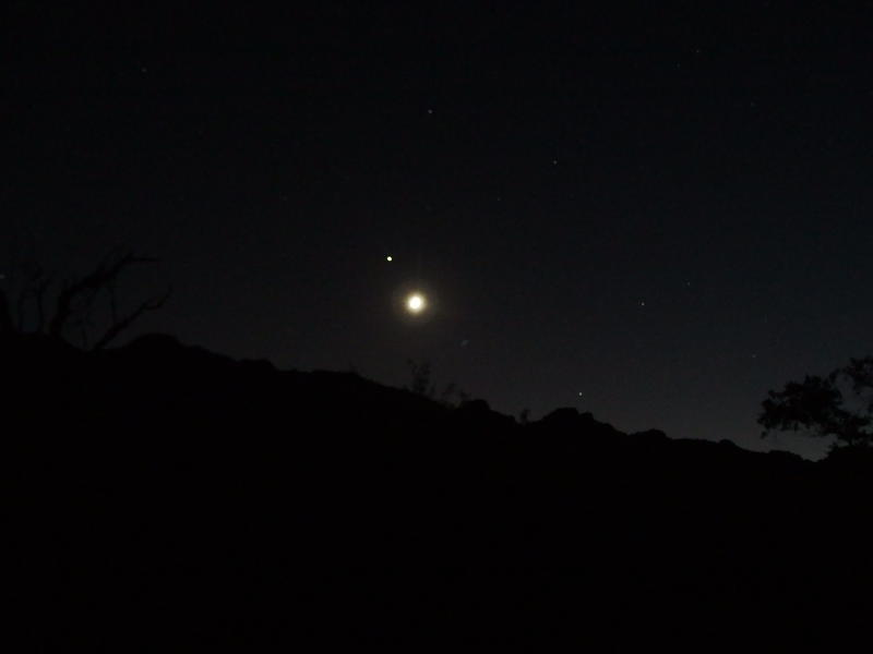
Crescent moon shining over Bluff Springs Mountain
After the sun set I quickly learned that I was not going to be sleeping alone here. Scurrying rodents scurried through crisp leaves just out of sight, bat silhouettes swooped down low to scoop up the few mosquitoes, and random branches broke from the trees above for no good reason and crashed into the rocks around me. Coatis, I hoped, were pretty active around the spring. As I settled into my hammock half-dressed I opened up my book and began to read, doing my best to ignore the pitter-patter of tiny feet mere yards from me. Perhaps camping near water in the desert isn't always the best of ideas.
Comments (0)