Deadman Mesa
Last time I spent the night in the Mazatzal Wilderness I had to deal with a midnight bear visitor that scared the crap out of me. This time it was a skunk. I smelled it shortly before I heard the soft scuffles through the leaves and grass under my gear and froze in my hammock, unwilling to give the potent little guy any reason to spray me or my camp. There was nothing that the rodent could get into - everything I had was suspended from the jutting, twisted roots of a huge downed sycamore - and he soon moved on, leaving me to count down the hours until morning.
It was dreadfully hot next to Fossil Creek. The forecast claimed it wouldn't drop below eighty overnight, and it didn't, though I had hoped it would. After all I was sleeping next to a cool, flowing source of water within a deep creek valley, a perfect place for cold air to settle. Instead I spent the entire night uncovered in my boxers, sweating through my thin hammock in a restless sleep. When my alarm went off I practically leaped up, excited to start the day and leave the night behind, zipping through the morning chores with a mix of anticipation and mild fatigue.
Yesterday I had hiked down to Fossil Creek along the Verde River Trail and today I would be climbing up the Deadman Mesa Trail. Twelve miles and 3000' sat between me and the van, twelve hot miles over exposed mesas with no water sources to speak of. Before leaving the creek I drank several liters of water, stomach gurgling as I swung my pack on, which had another gallon stowed away inside. A gallon should be enough. If not, the van had more water, iced water in an insulated jug, an effective carrot to dangle in front of me on this hot hike.
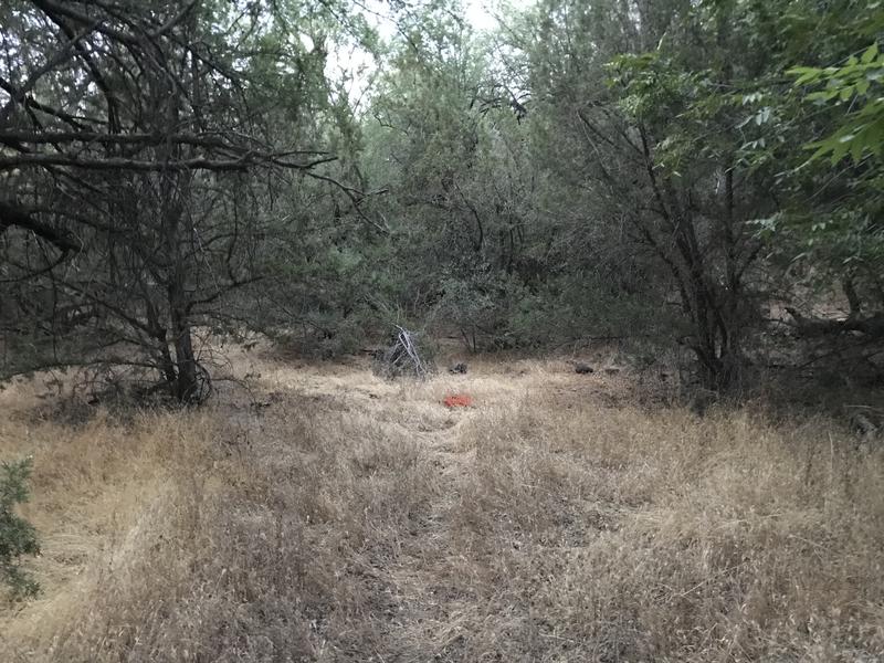
Tagged clump of grass marking the way out
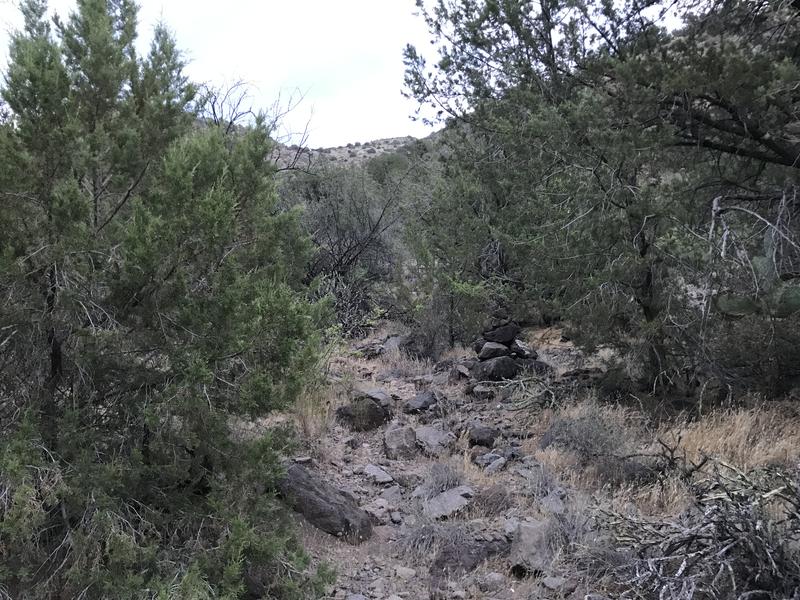
The start of the real trail out
I had scouted the first few dozen yards yesterday. They weren't well marked, tiny piles of rocks completely overgrown by dry grass and thorny branches dangled over a winding path, and it isn't until the steep hillside leading up to Deadman Mesa itself that large cairns and defined tread show up. Someone had blazed a few spots with bright orange spray paint, which was blatantly against wilderness rules. Building up a few cairns and breaking some branches would have been just as helpful and completely legal.
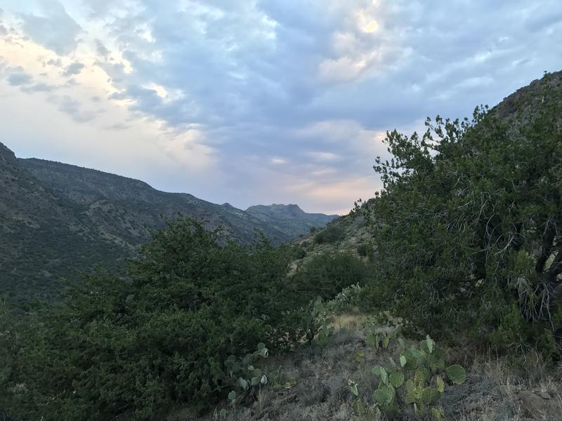
Slowly brightening sky over the creek gorge
Once I left the creek's shade I realized that my early start wasn't so early after all. The sky was already brightening and it looked like the sunrise was just around the corner. My impatience grew with the slow climb, a faint trail zipping back and forth up the steep hill, and I wandered off a few times. Didn't help that orange blazes showed up along the way and were often incorrect.
The one time I got severely off track I gave up and backtracked to the last good cairn and, after verifying the correct way, knocked down a painted orange cairn and pulled a few branches to help guide future hikers. I've done similar adjustments on Mazatzal trails before, though not nearly enough. Rushed for time and uncertain on the correct route I usually push through the confusing sections like the bull-headed hiker I am, leaning on luck that I'll blunder back on track. One day I will take my time and do some proper maintenance.
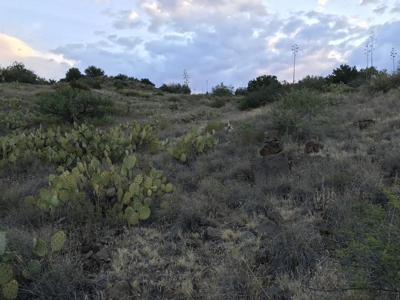
Climbing up and up and up
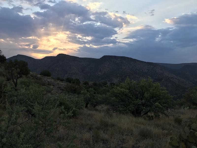
Brilliant sunrise over Cedar Bench
Soon a saddle showed up, a saddle that marked the edge of Deadman Mesa's knife ridge, the end of the western climb and the start of a ridge dance. 800' done, another 700' to the tip of the mesa above. The final stages of a distant sunrise were visible from over the deep gorge of Hardscrabble Creek. Thanks to the heavy clouds it was a marvelous display, red rays shooting out through the otherwise gray skies, and the sky cover promised some relief from the morning heat.
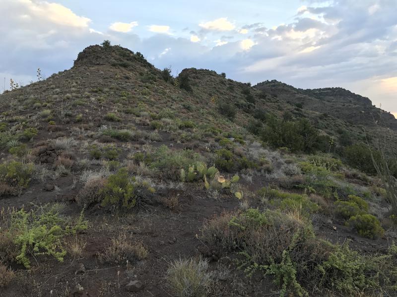
Dancing along the fins on the climb up
After I caught my breath I turned north and started up the 'fins' part of this climb. Deadman Mesa ends at a tip, and then a narrow ridge extends from the tip down to the confluence of Hardscrabble and Fossil Creek, a point I had passed by yesterday without even realizing. The ridge features several large basalt fins, huge outcroppings that jut out to the west, and this trail danced around the east side and, sometimes, even play on the top of them. From down here they looked like rolling hills that led up to the distant crest of a mesa above.
My route was simple enough, well-cairned and easy to make out, weaving around the few short trees and cacti clumps. The ground was fine volcanic rock and gave slightly underfoot. I hauled up quickly, wasting little time on this simple path, knowing that an overgrown section ahead could set me behind schedule, dragging this relatively short day into the hot afternoon hours. There was a few times that I did pause to look back and admire the southern views of Verde River, picking out Squaw Butte and all unknown features that I'd be hiking past in the months to come.
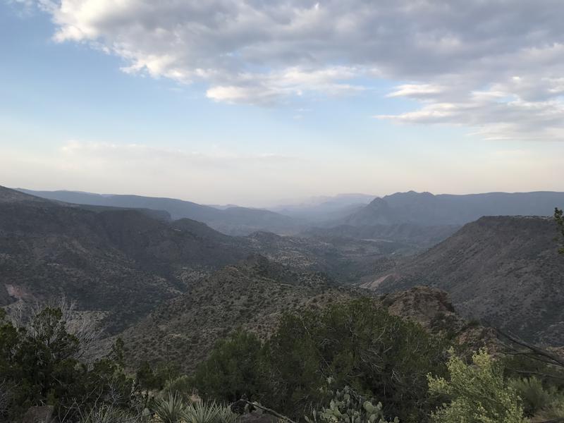
A long view down the Verde River valley
The crest came quickly with only a long-disused gate as fanfare. Seventy minutes after leaving camp, not too shabby. Another two miles of trail before I'd be on dirt road for the rest of the day so I pushed on, giving my legs a 'break' by walking on level ground instead of the relentless uphill, picking out cairns from the grassy ground. There wasn't much tread to follow and short junipers grew close around the narrow path. Only the scattered cairns kept me pointed in the correct direction.
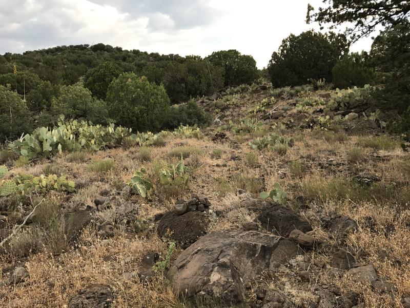
A well-cairned path through the cactus
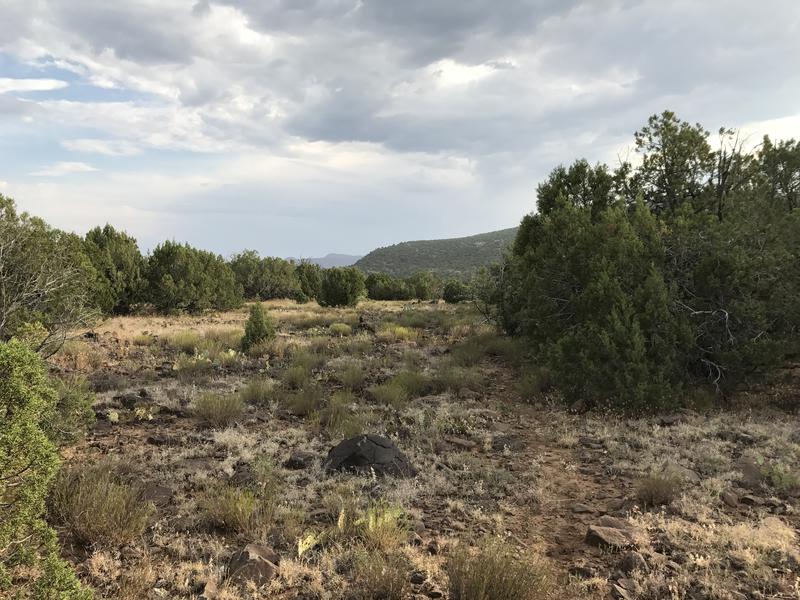
One final section of trail
A two-track showed up sooner than expected and the path stuck to that for a time, then broke off to make a straight line through a flat plain before re-joining the road. I was confused by this, thinking that this entire trail was within the Mazatzal Wilderness, which shouldn't have any active roads in it. This track was definitely active and had fresh tire prints. Later research showed that the wilderness boundary follows the edge of the mesa and that the final two miles of the trail were outside, basically allowing any vehicle that could handle the rocky road to skip some of the hike.
One single post marked the end of the off-road trail and cairns, leaving me on a wide track without direct guidance. No sign or trailhead marker, similar to the southern end of Deadman Mesa Trail. Was this trail abandoned? Or did some hooligans steal these signs to hang from their basement/garage/cabin wall? I shrugged it off and continued north on the road and soon came upon Deadman Tank and a group of large trees, which was the 'start' of the trail according to the topo maps. One leg done, over half of my elevation gained - it was time to sit in the shade and enjoy a second breakfast.
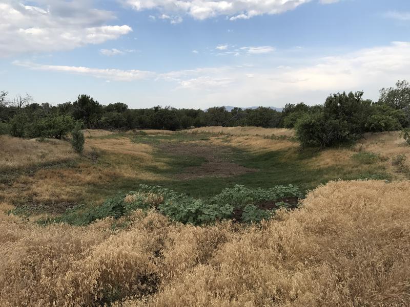
Dry ground at Deadman Tank
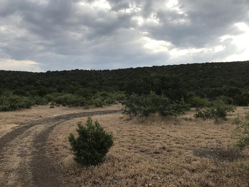
Hiking along a two-track
Clouds continued to hang low overhead, nothing that generated a sprinkle, yet more than enough to keep the sun off of me. My thermometer was still reading mid-eighties at seven in the morning. I missed cool weather. Once I had given my legs a long enough break I pushed up and continued on the two-track, following as it slowly snaked back and forth through the squat trees.
There was a short 600' climb, the road switching back and forth a few times up the slope, that knocked the wind out of me. These climbs were getting annoying. At the top there another dry tank, this one unnamed, and then a little spur track that swung east. Curious I ventured off of it, noticing how close I was to the edge of Deadman Mesa. Sure enough there was an epic view out here, looking over the huge gorge of Hardscrabble Creek. Man, a little creek can make massive cuts through a mesa. It was also a little scary - my van was basically parked on the other side of this thing. I had a long ways to go to get around this gorge.
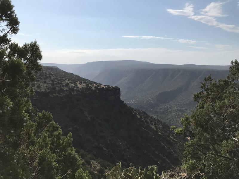
Ridiculous view across Hardscrabble Creek's canyon
So I pushed on under the waking sun, tackling the final 700' climb with a pained and measured step. When I reached the top I had to take an unscheduled break, exhausted from a combination of a poor night's sleep, repetitive climbs, and high temperatures. This didn't bode well for some of my longer planned Mazatzal adventures, where I needed to knock out twenty miles and thousands of feet for several days in a row. I'll blame today's poor performance on the heat. It was over ninety with the sun breaking free from the clouds, over ninety before nine in the morning, and something deep in my body rebelled against these ridiculous temperatures.
Western views were a bit of a distraction. Nearby was Ike's Backbone, which was on the other side of Fossil Creek, which had looked so massive yesterday. Today I was already 1600' above that ridge. It still looked cool across the creek's deep valley. There were also some distant hills and peaks, though I still wasn't sure what they were. Maybe Pine Mountain Wilderness? That's an area I'm vaguely interested in exploring some day.
When the sweat was mostly dry I got back up and continued on the road, loping along the level ground. The powerlines, the next leg of my hike, played with me a little bit, appearing directly ahead and then fading away as the road twisted further east. Eventually our paths met and it was time to leave one dirt road and follow a rougher access track. I had been half-hoping to meet a vehicle out here, maybe one willing to offer a sweaty hiker a free ride over to Twin Buttes, and that was gone now. Guess I'd have to actually finish this route.
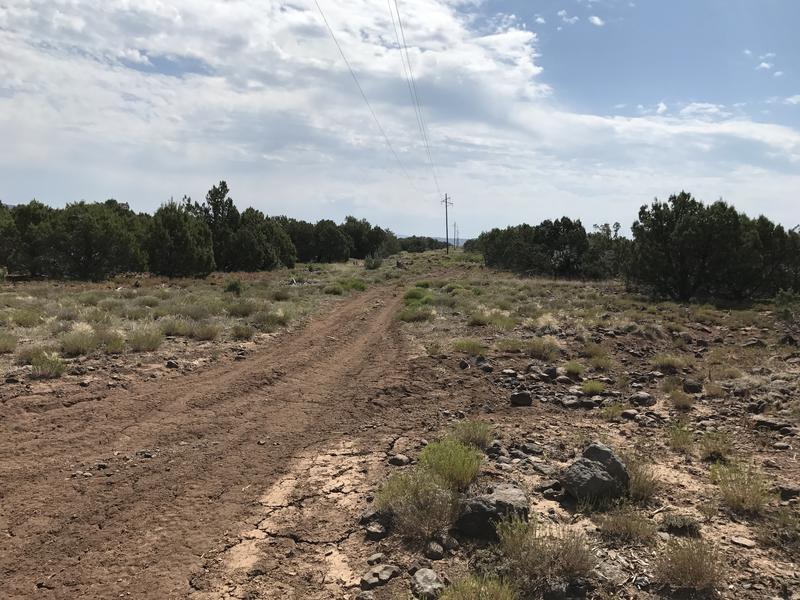
Walking under powerlines
This section was not a lot of fun. The sun beat down on me and there was no breeze or wind to speak of. I baked in the narrow track under the powerlines. To pass the time I counted the poles as I passed them, giving myself a short water break for every ten. Twenty poles and my path bent southeast, thirty poles and I was faced with a fun obstacle. The upper stretch of Hardscrabble Creek, which was once so massive and that I had hoped would be an easy hop across this far up, cut a steep and rocky canyon across the way.
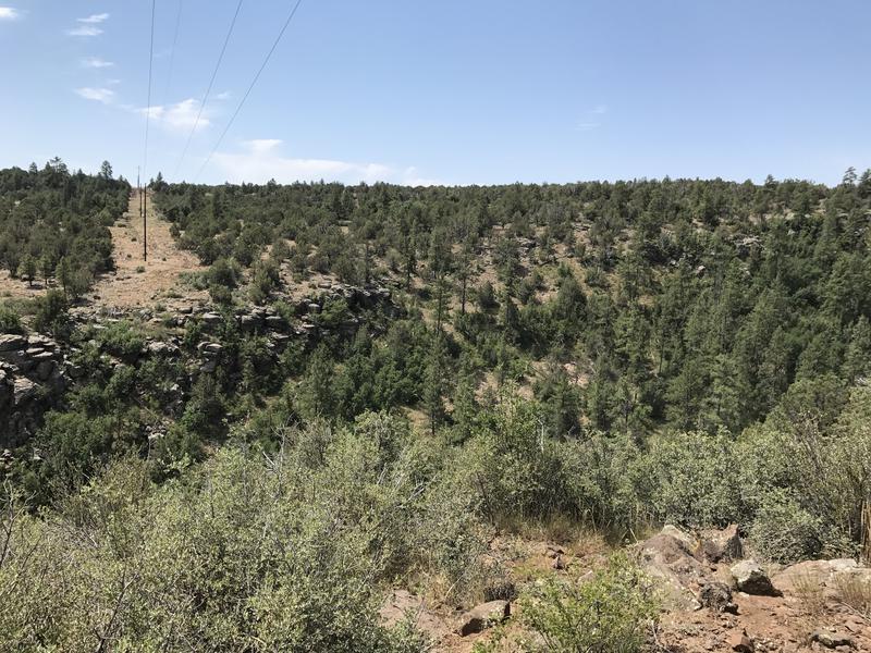
Crossing the upper reaches of Hardscrabble Creek
I probably should have expected this. Even though the creek was a mere handful of topographic lines the total drop from hillside to rocky bottom to bottom of the creek was 300', far more than my exhausted legs were ready for. I ambled a short ways to the side, looking for an easy way down, and discovered a route that limited my thick bushwhacking to a dozen yards. Then there were car-sized boulders at the bed to navigate, easy enough to squeeze through and lunge across.
The climb up was a bit tougher. I tried to follow the creek upstream and was soon stopped by a large pool and waterfall, with sides too steep to creep along. So I turned and tackled a narrow, cluttered chute up the bank, pulling through spiky plants and a rusty barbed fence. Up top there was a prominent benchmark, some rocky hurdles, and then a painful uphill slope.
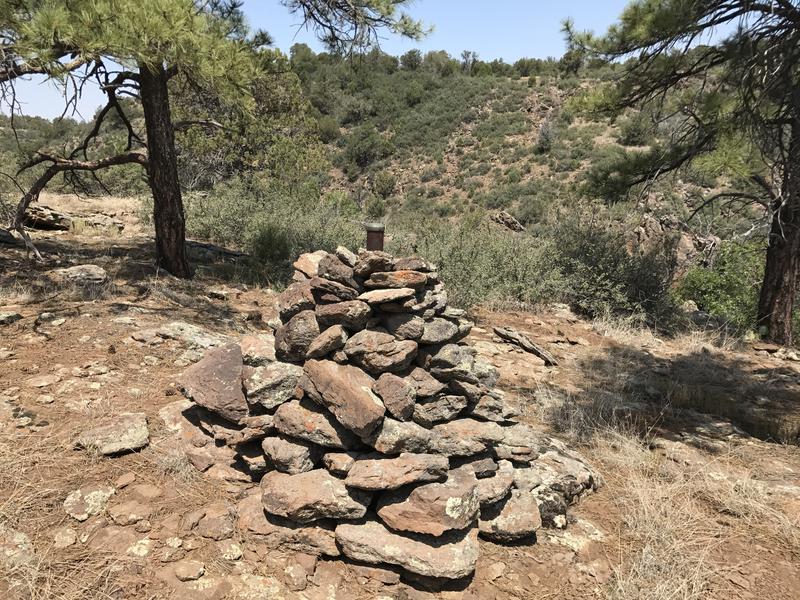
Tall cairn marking the benchmark
It was just before noon by the time I reached the van, without a drop of water left in my pack. I yanked open the door, ripped off my boots, and then sat and drank cup after cup of lukewarm water. This, this was a little toasty for hiking in. At least I didn't try to turn this into a dayhike yesterday - tackling these final twelve miles, with the repetitive climbs and exposed roads, would have been impossible in afternoon temperatures.


Comments (0)