Chapel Rock and Spray Falls
Early morning slowly filtered through the winter-bare trees, bringing light and little warmth to the narrow dirt road. I was on Chapel Road, a two-track of Pictured Rocks, and it was still below freezing on this mid-April dawn. The road was plowed, a pleasant surprise to find, though there was enough encroaching snow and questionable patches of frozen mud to convince me to park within a mile of Adams Trail. I trotted down the road quickly, snowshoes strapped to my back, hoping to make good time on this easy leg of today's planned Chapel Loop.
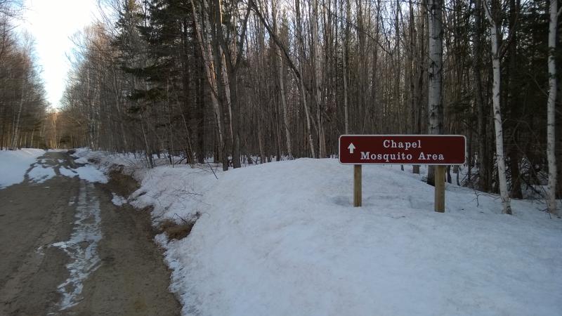
The sign for Chapel area hiking
The Chapel Loop is one of the most famous hikes in the Pictured Rocks area, a triangle that encompasses Chapel Falls, Grand Portal Point, and Mosquito Beach. From the trailhead the hike is a little over nine miles and follows some dramatic sections of cliffs. I knew today's loop would be longer, with the extra walking on the road and a few side treks in mind, though I still hoped to have time this evening to stop by a few waterfalls on the way through Munising.
Deep snow surrounded the snaking track, shrinking it down and enhancing the back-and-forth winding. I distracted myself from the relatively boring walk by gazing around the woods, plain hardwoods that were still bare from the long winter. There were a few pines poking up here and there, nothing too tall, allowing the light and sound to easily cut through. In the far distance I heard a dog barking, probably from one of the houses on Adams Trail, and the rest of the forest drank up the sound quietly.
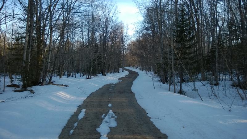
Early morning sun over the winding road
I passed the sign and a overflow parking lot and an unplowed fork. I was starting to wonder just where the trailhead lay. The mileage claimed that I should be there by now, adding up what I drove and walked to my directions. When I checked my location I saw that I was southeast of Chapel Lake. That unplowed fork must have been the trailhead. I could double back a half mile or try cutting through the deep snow of the woods. Doubling back is for suckers. Strapping on my snowshoes I strode out over the frosty snow, harsh crunching noises blasting through the woods to announce my awkward presence.
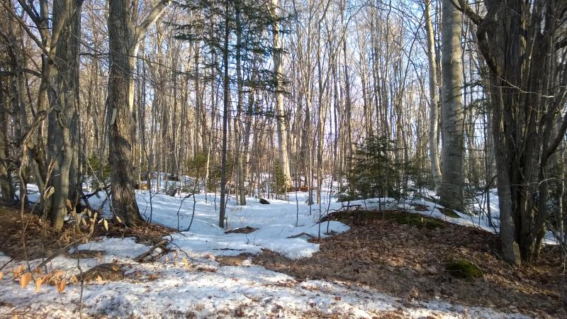
Bright sun over snowy woods
The woods gently sloped down towards the lake and I followed, making sure to not drift too far towards Section 34 Creek. There was a waterfall on there that I didn't want to miss. As I made my way north I was surprised at how quiet everything here was - well, ignorning my loud footsteps. There were no nearby highways, the closest town was almost a half hour away, and the lake was far too icy for boats yet. I was the noisest thing for miles around.
Lost in thought I just about missed the trail. There was a light smattering of tracks perpendicular to my route along an overgrown road and no more. No blazes or markings or other people, just some half-melted impressions in the snow. I paused and looked around. Sure, I was close enough to Chapel Lake to take a quick look.
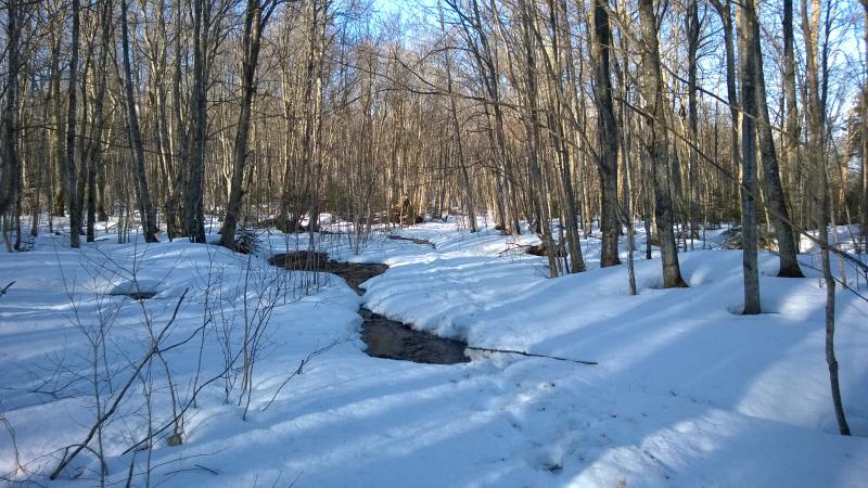
Tracks on the trail
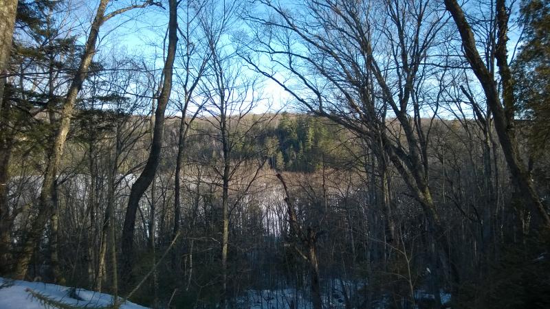
Looking over Chapel Lake
Snow and ice covered the crescent-shaped lake, with a small sprout of tall pines on the distant shore. The lake is small and tightly hemmed in on both sides, tributaries tumbling down tall banks to feed it. The sun had not even risen high enough to light the eastern bank. Climbing down to the shoreline did not look like much fun, a steep, shaded drop below my feet, and I turned around and headed back to the trail.
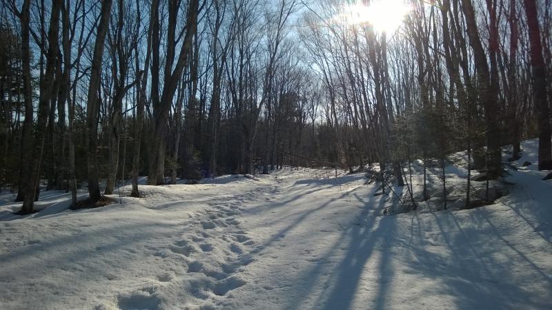
Up the snowy trail
A new sound began to filter through the woods ahead, the low roar of a large waterfall. I was getting close to Section 34 Creek and Chapel Falls. The trail cut to the right, heading upstream, and I cut off trail to catch a glimpse of the waterfall.
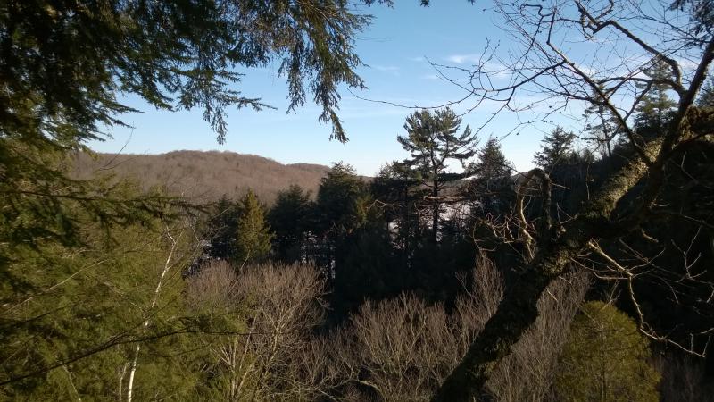
Lake view from the gorge
At first I couldn't see much of anything, just an obstructed view up Chapel Lake. The little creek cuts a massive gorge through the soft rock and, because the other side appears to be lower, one can see hints all the way up the north end of Chapel Lake. Searching for a better angle I headed upstream, parallel to the edge of the gorge, and found a viewing platform almost completely buried in the snow.
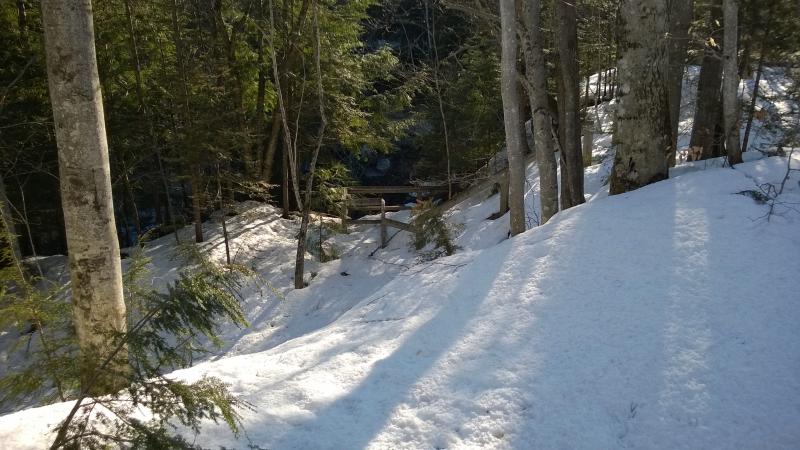
Viewing platform
The snow was still pretty crispy, allowing me to glide along the top without breaking more than an inch or two deep, so I simply stepped over the railings. A few weeks ago and this platform may have been completely buried. As I eased out over the edge the roar of the waterfall washed over me - this, this was the view I was looking for.
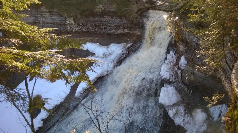
Gushing falls over the fanning rock
Swollen with springtime melt, the creek drops over a crest and quickly fans out over the large bowl of rock, foaming and leaping all the way down. I couldn't see any calm pools below. With the lazy swoop down there may be rapids all along the creek to Chapel Lake. I've heard of people crawling down the gorge to take good photos up at the falls and briefly considered it. That didn't look easy. I had a long ways to go today. I turned and followed the creek upstream, soon finding the small bridge over the creek.
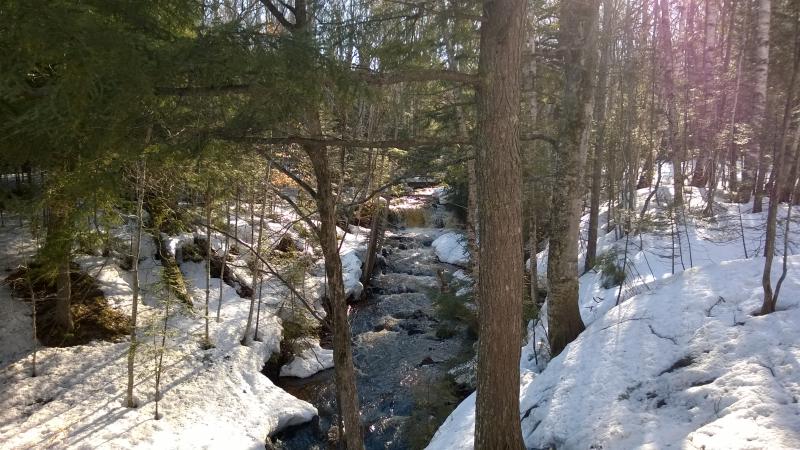
Small upper falls
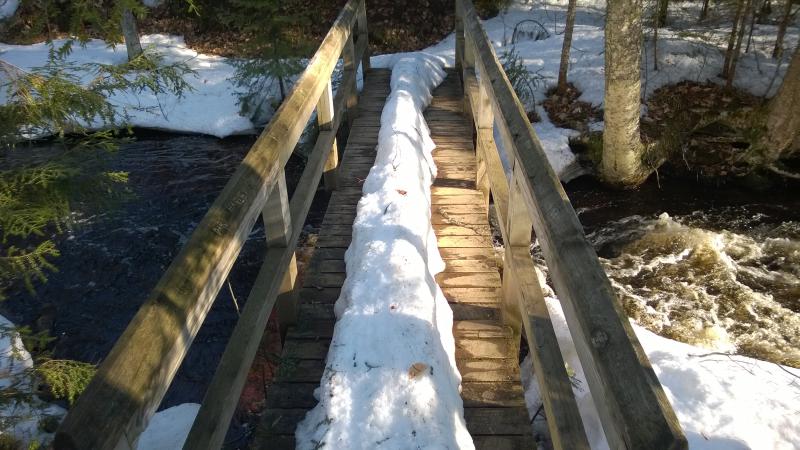
Mohawk on the bridge
On the far side of the creek the trail quickly changed from an old two-track to a footpath, winding north and west. It was a shocking change that took a minute to adjust to. The first thing it did was circle back to the north side of the gorge for an obstructed view back at the falls, one that gave you a better idea of the size of the thing but was probably completely hidden in summer.
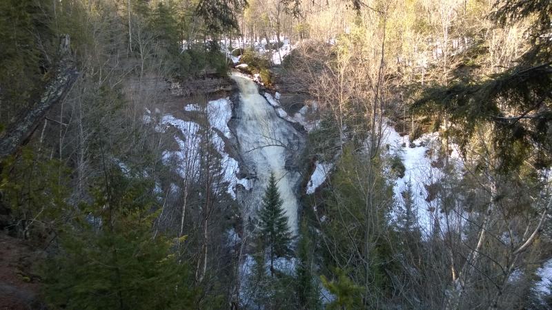
View from the south bank
The trail then cut sharply away from the lake and refound the old track. Bugger, I was hoping for a narrower, more intimate path. Fewer people walked this path, some turning away at the falls, leaving a small ridge from pressed skies to follow. After ten minutes of walking the narrow line I decided to take off my snowshoes. It was hard pressed enough to just walk on and skinny enough that my snowshoes kept slipping off to the side. Plus, the shoes gave me a cool shadow.
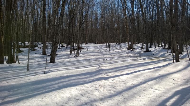
Barest bump of a trail
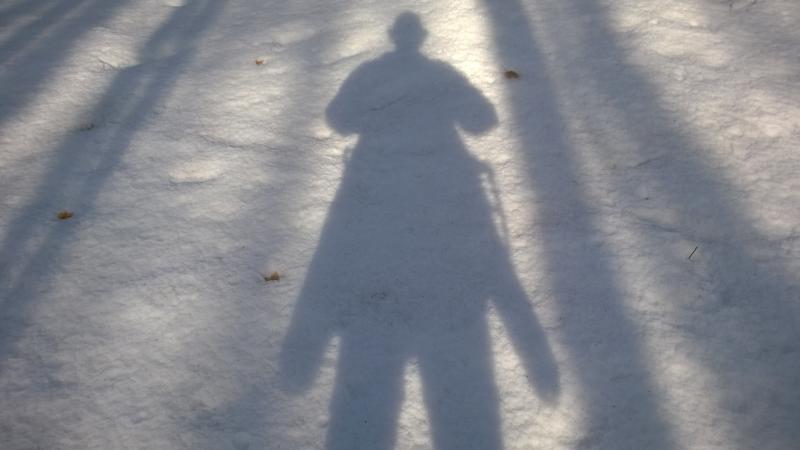
Jacob - with wings
The trail continued on and on, a lazy swoop that paralleled the shore of Chapel Lake, though it did drift to a few hundred yards away. All around me was hardwood, no special landmarks in sight, and I soon started to peer ahead for breaks in the woods that would signal the arrival of Lake Superior. In the meantime the sun crept up and began to melt the woods, snow losing its crunch and puddles growing in size. When I began to lose elevation bare spots started to open up on the trail, leaf-covered and water-logged, forcing me to skirt around on the snow to try to keep my feet dry.
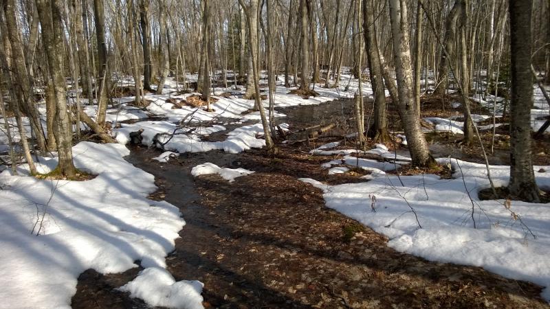
Soggy spring
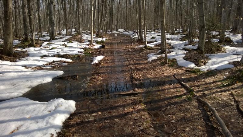
Barest outline of wooden edges on the trail
I noticed something cool about the formation of the trail, as more and more of it was visible. It appears that they lay down two boards parallel to each other, to try to contain foot traffic and some fill, and then break it every once in a while to let water flow from one side to the other. This was a cool and (for me) unique way of letting the water flow around the defined trail. The water was deep enough to just cover up everything, though, flooding the entire system, but it probably works well during other times of the year.
With little warning my trail began to plunge downhill, collected water flowing down steps in increasing urgency. White ice of Lake Superior showed up between the trees, vast expanses of cold, and in minutes I stood next to Chapel Rock. The transition from bare hardwoods to one of the iconic features of Pictured Rocks was ridiculously fast.
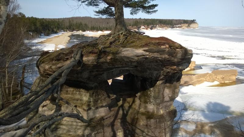
Chapel Rock and beach beyond
The rock was cool and smaller than I imagined. Even if one could cross the root-bridge and stand next to the tree there would be just enough room to inch around it, not enough to set up a tent or anything. The caves below were also small, maybe with enough allowance to crawl around in. The whole thing just looked so fragile. I didn't need a sign to keep me from climbing around on it.
Chapel Loop now turns west to follow the shoreline and head to Grand Portal Point. I turned east. One of my side treks today was Spray Falls, the waterfall that shoots off the edge of the cliffs and pours down directly into Lake Superior. All I had to do was follow the lakeshore trail and not get lost in the awesome views of a half-frozen great lake next to me.
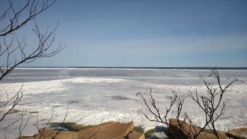
Icy Lake Superior near Chapel Rock
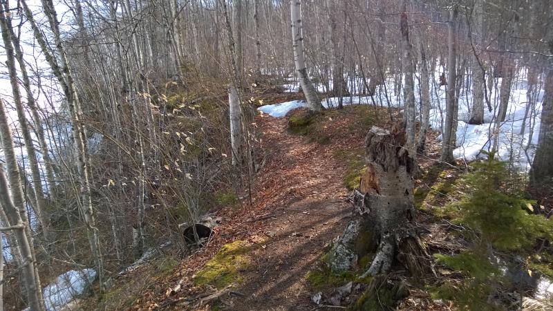
The start of the shoreline trail
It was a mixed bag, that shoreline trail. Maybe half the time it was dry and open, an easy stroll for my hiking boots. Then the snow would flow out over it and I would wonder why I wasn't wearing snowshoes. The sun had warmed everything enough to start turning the once crispy stuff to slush. And then there was the water, huge puddles that swallowed up the path and surrounding woods, forcing me to monkey-swing from one log to another. I did not make good time on the trail.
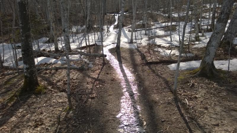
Bright line of ice on the trail
Not that I was in a terrible rush. There were seasonal waterfalls flowing off the cliffs to admire and the occasional eagle to swoop over the lake (many more seagulls than eagles, though). The shoreline rose up slowly from Chapel Rock, towering over the icy bergs below, and even the shore ice was multi-tiered. If it wasn't for the difficult trail I'd say that this is a beautiful time of year to try the hike: no bugs, solitude, and slowly-melting ice formations to check out.
Tiny seasonal waterfall plunging down the cliff
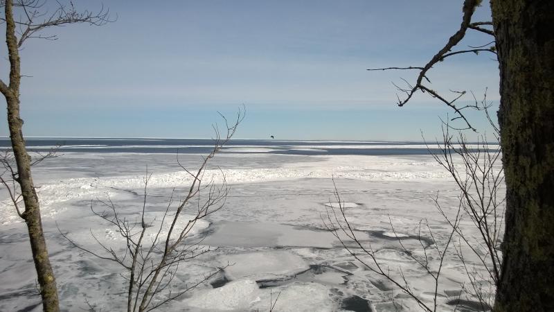
Dark bird over the icy waters
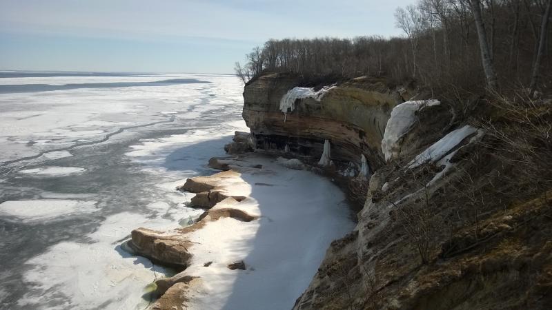
First big swoop in
The shoreline slowly swooped in and out, creating small coves and points. At each point I tried to glance aound a bit to get my bearings. I didn't carry a good map and had no familiarity with the landmarks. I knew that Grand Portal Point was somewhere to the west, a hard mound of rock sticking out into Lake Superior, and that Spray Falls was somewhere ahead of me. And that was about it.
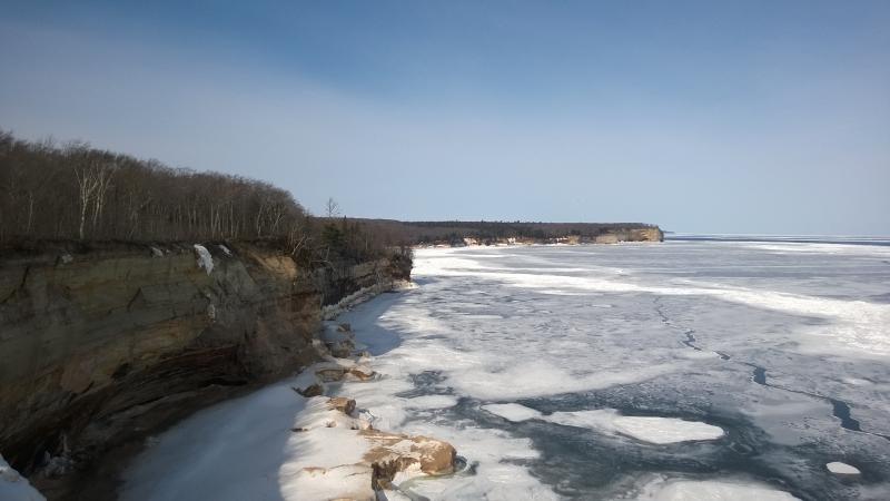
Looking back towards Grand Portal Point
After a while the trail started to get really nasty. First there were a few puddles that, combined with low brush, forced me to go on long detours to avoid. Once I got past that the path decided to erode a bit, soft sand easily drifting over the cliff edge as if it was slowly melting. I wished that the ice below was more solid, less a mix of hard snow and giving ice, and that I could just walk down there. The views up the cliffs would be pretty awesome.
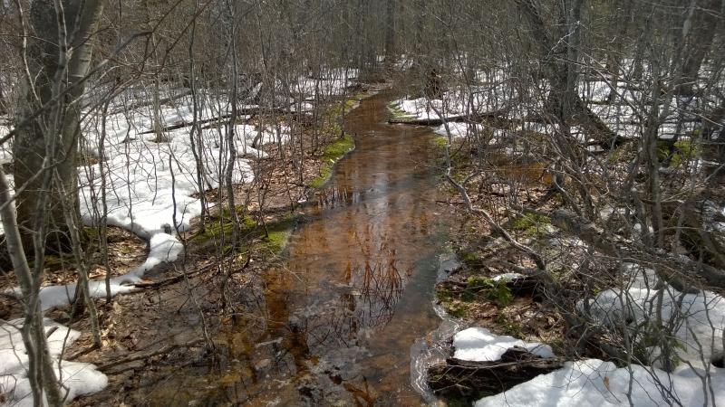
A swamp of a trail
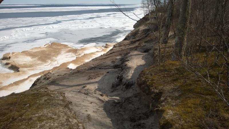
A swiftly eroding trail
There was plenty to keep me distracted. At one point the built-up ice looked like giant toes, five big bumps reaching out to towards the lake. I looked for a stone and tossed it over, trying to gauge how high up I was and how thin the ice between the toes were, but the sound and stone were lost in distance. A light breeze was picking up too, prickling my skin and rustling the bare branches, muffling noises. I glanced back again at Grand Portal Point. There was another point reaching beyond it, a lower, flatter chunk of land, that may have been Grand Island.
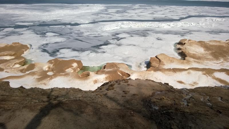
Giant ice toes below
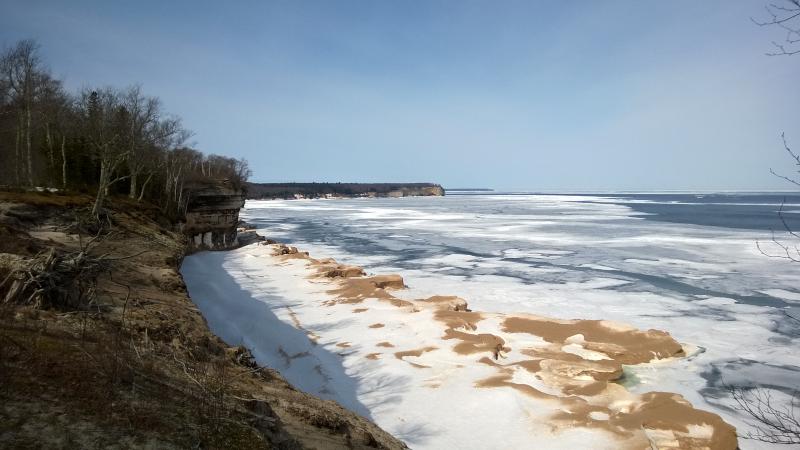
Extension beyond Grand Portal Point
Beyond the toes I was forced to strap on my snowshoes again, the trail weaving into the woods and buried in snow. Part of me had hoped that the exposure next to the lake and low elevation would have kept down the snow pack here to where I wouldn't have to use the shoes at all. It was easier, for the most part, to keep them on and claw along a few dry spots than to keep them off and sink knee-deep in slush. I did get wetter on the puddles, bulky shoes keeping me from the more nimble jumps from dry spot to spot. Eh, my shoes were already soaked through.
The cliffs were starting to get a bit monotonous when I stumbled upon a rocky beach perched over a hundred feet above the water. This was interesting. It was small and sandstone poked out from below a thin smattering of sand. I took off my shoes and drifted across the beach, surprised at how giving these rocks were to form this yet how resiliant they seemed to stand up against the great lake's storms. A distant roar seeped into my ears but I barely noticed it, caught up in crossing the beach, until I stumbled onto a sign for Spray Falls on the other side.
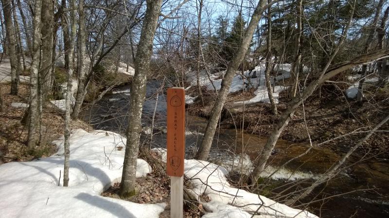
Small sign above the falls
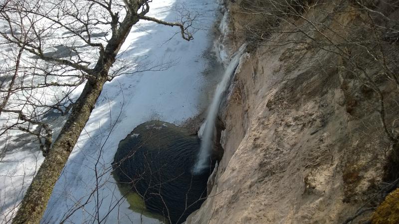
Getting a good view of the falls would be difficult. I first tried to creep along the creek, following it to the cliff edge, and all I got was the crest. The shoreline to the east was cluttered with low brush so I stuck to the west side, easing out dangerously close to the edge of the cliff. From here I could see the side of the falls, almost underneath them, and the large open pool cut through the ice below.
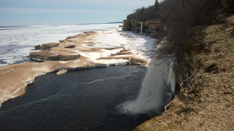
Plunging waterfall
There was another possible view to the east, a bare protrusion sticking out from the wooded cliffs, but I turned away. It was getting close to noon already. Almost half the day was gone and I was maybe a third of the way through this hike. That didn't bode well for the rest of the trip. With a quick pace I headed back to Chapel Rock, backtracking along the mixed trail on my way to Grand Portal Point.


Comments (0)