Cabin Loop: Return Along the Rim
An hour after first stopping at the murky pools of Barbership Creek I struggled back to my feet. I had pulled about half a liter from the creek and was done trying to pump more. The sun was beating down through the partly cloudy sky as noon slowly approached. All I wanted was to get back to the rim, check out the views down over the pine forests of Payson, and return to the bottles of lukewarm water left in the jeep.
Pulling the pack onto my back didn't hurt as bad as I had feared. It was heavy, sure, but my shoulders were dealing with the weight better than I expected. I tucked my filtered water away where I wouldn't be tempted to sip from the hose and started across the grassy stretch towards the tall bank. By my estimation this would be the last major climb before a relatively flat journey along the edge of Mogollon Rim.
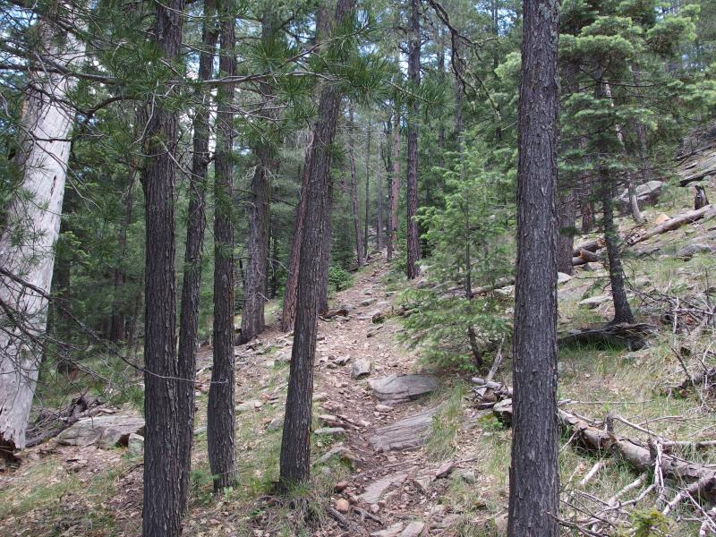
The steep climb out
The climb hurt. It was a steady climb, no switchbacks along the rocky grade, yet it felt like it took forever to make it to the top. I stubbornly tried not to stop at all, just kept an consistently slow pace through the whole thing, and broke out near Barbershop Spring. The level ground up there was a relief. After the long uphill crawl I felt like I was zipping along now.
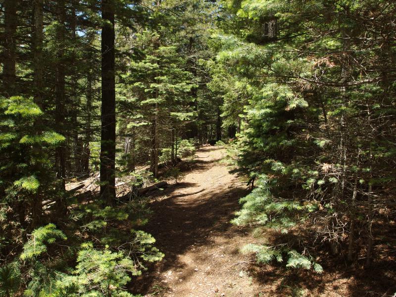
Green crowding around the path
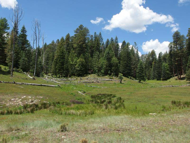
Open grassland around Barbershop Springs
A few yards into the open clearing around the springs and I was greeted with a suprise. Two other backpackers were resting on a log just off the path. This was now the second group of people I had seen since General Springs and they were a much more welcome sight than the first group, the large cluster of roadside tents. Plus, maybe they had some hints about water. I was at Barbershop Springs, after all, and the water here may be pure enough to drink. With a quickened gait I approached the hikers, only slowing when I realized that something was wrong.
We exchanged greetings before I jumped straight to my concern. They were a bit older, these hikers, and the man had some wrappings around his shin. Close up I could see that they had actually tied a small shovel to his leg as a makeshift brace. They claimed to be okay and that he had just suffered a minor breakage on his shin. Slightly put off by their cavalier attitude I stumbled through some questions about the springs. Both hikers strongly discouraged drinking from untreated water and offered either their water or the use of the filter. I couldn't bring myself to accept help from them, not in their state. After one more attempt to help them out, or at least help carry their gear, I wished them good luck on their exit.
They weren't in such bad shape, I guess, and they seemed to be fairly comfortable with the area. There was a road a short distance ahead, a road that would lead right back to the Pinchot Cabin area where they parked their car earlier in the weekend. If they could make it to the road and she could either hitch a ride or make the short journey north alone then they could drive out together. He seemed to do okay walking on his leg (I glanced back a few times as I left). Any sort of skeletal break seemed like an instant emergency situation to me.
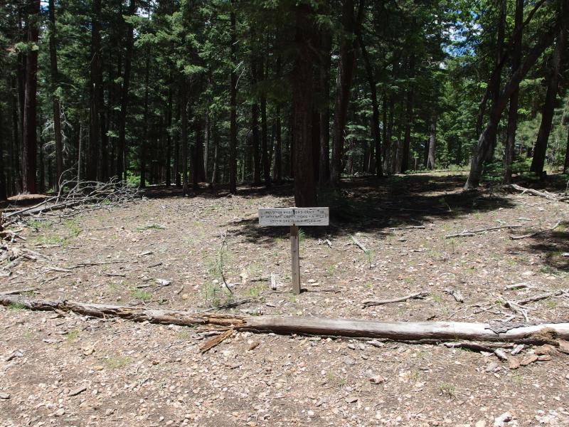
Trail sign on Houston Brothers
Fifteen minutes after leaving the couple I crossed the road and made it to the end of Barbershop Trail. Finally. That had been a hard leg, between the warming temperatures and water issues, and it had been a lot more up and down than I was ready for. Now I had a short stroll south on Houston Brothers to reach the Mogollon Rim, and a few miles along the rim to the descent, and then the descent down Colonel Devin, and then water. Water would be most excellent.
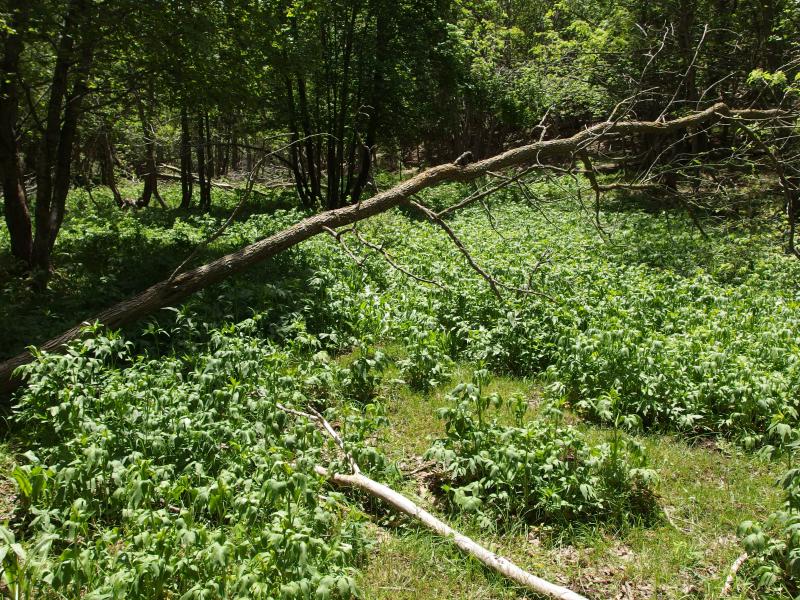
Thick crop of invasive plants
Houston Brothers ended up being one of the nastiest sections of trails so far. Much of it was overgrown with what looked like Japanese Knotweed, though I'm not too certain of my invasive species. Or if that even grew this far southwest. Some parts of the trail were muddy and slick from tiny springs and others were covered in deadfall. Also, for some inexplicable reason, there were several sections of uphill. I thought I was done with uphill.
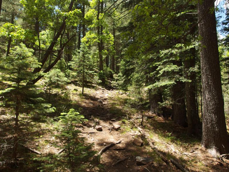
Rocky climb up
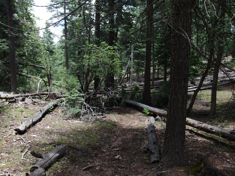
Downed trees backing up the trail
It was a long hour through the cluttered trail before I finally broke out on Rim Road. I stood on the edge of the dirt road, enjoying the breeze flowing down the open road, and looked around for the General Crook Trail. This trail, along with Rim Road, was supposed to follow the edge of Mogollon Rim for a long distance. But all I saw was the Rim Road.
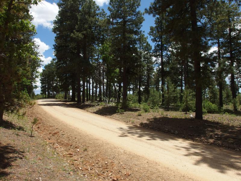
The Rim Road
This was odd. General Crook Trail seemed like a fairly popular trail based on my light research and was one that I didn't think would be hard to find. I checked my map and noticed that it crossed Rim Road a few times on the way west. My route lay west. Guess I could just start walking on the road and cut off the first time I saw a trail.
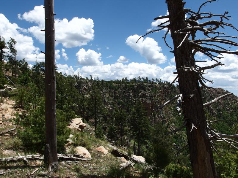
Looking east along the rim
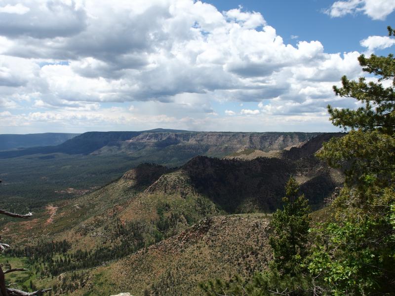
Distant view of the western rim
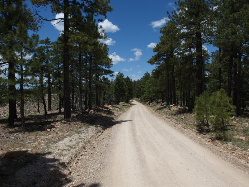
On the dusty Rim Road
Views from the road were pretty good, anyways. There was frequent breaks through the trees and a few obvious spots to break off the road and get a closer look. The size of this feature was incredible. With a bit of guesswork I could make out where Washington Park was, close to five miles distant, and it looked extremely close compared to the rest of the rim stretching away. If I didn't know just how far it actually was, and if my gear was a bit lighter, I would have been tempted to cut straight down the rim. Cutting a direct route to the water would have been worth the steep drop and bushwhacking.
I came upon one of the trail crossings on my map, and then another, and I couldn't make out a trail. Then I got it. There were white chevrons nailed into a few trees that must be marking the trail. Cutting off the road and into the woods I searched for any hint of a footpath or cairn. There was none. I looked around for more chevrons to mark the way forward. Only the first pair showed up, probably to designate the road crossing. General Crook was not as much a trail as it was a conceptual journey involving lots of bushwhacking. I was not in the mood for bushwhacking.
I veered back to the road, ventured a short distance further west, and stopped at the first pull-off overlooking the rim. I had been moving since Barbershop Springs and really needed a break. Sipping lightly from my water and munching on jerky I looked out over the woods below. So I would have to walk the Rim Road for a few miles to return. Besides from the occasional traffic driving up the dust this wasn't a bad option. It was flatter than the trails and had some outstanding views. A bit boring, sure, yet it would get me back.
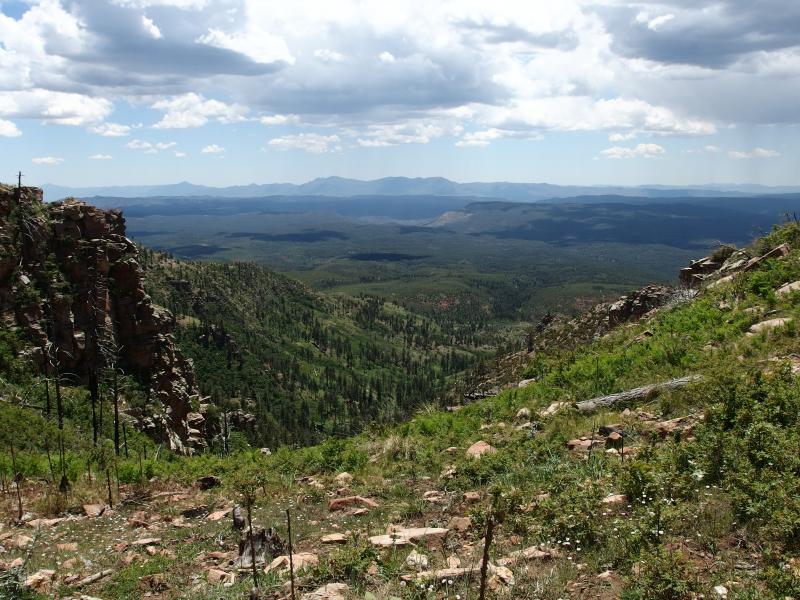
A steep drop down
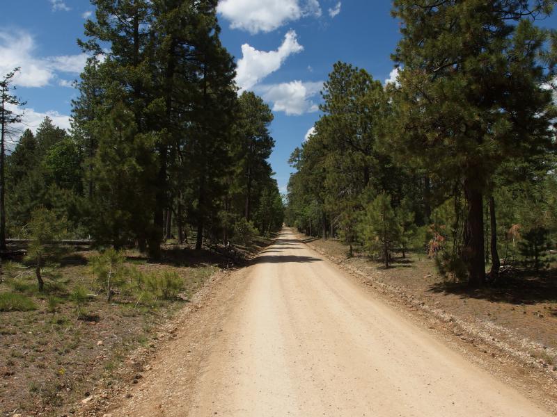
Straight section of road to walk
Feeling renewed with the plan and a less-dusty mouth I got back up and tackled a long stretch of road. I let my legs eat up the miles quickly, greedy strides that my wife detests when we're walking together. After the jerky was gone I pulled out more snacks and nibbled away. There was plenty of food left in my pack, and as long as it didn't dry me up too much I might as well eat it all.
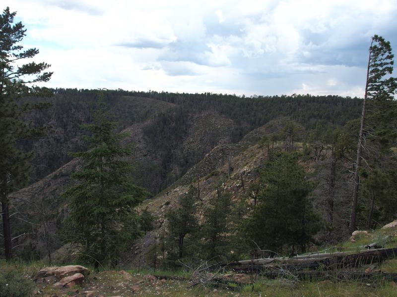
Almost at the drop down
When the road edged closer to the rim again I started searching for a trail down. Somewhere below me was the old railroad tunnel, a spur off of Colonel Devin, and rumor had it that there was a connection that came right up to the rim. Another shortcut to try, one that could offer an interesting view of the area's history. I couldn't find where the spur came up, though. There was one spot that looked suspicious, a dry little creek that flowed over the rim, but there was no cairns or markings that tempted me over. Instead I just meandered all the way to the top of Colonel Devin where I had stood less than twenty-four hours ago.
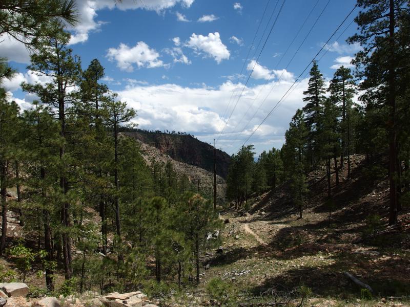
Back at the Colonel Devin trail
During my climb up this trail yesterday I was constantly distracted by the thought of descending it. The path was loose and sandy and the few people I saw coming down had warned of how difficult it was to not trip down. It was so easy. It could have been the rush of being so close to the end, or my tired legs half-numbed and being reckless, but I made quick time going downhill. My water was empty, afternoon clouds were beginning to gather in the west, and all I had to do was drop down this short little trail.
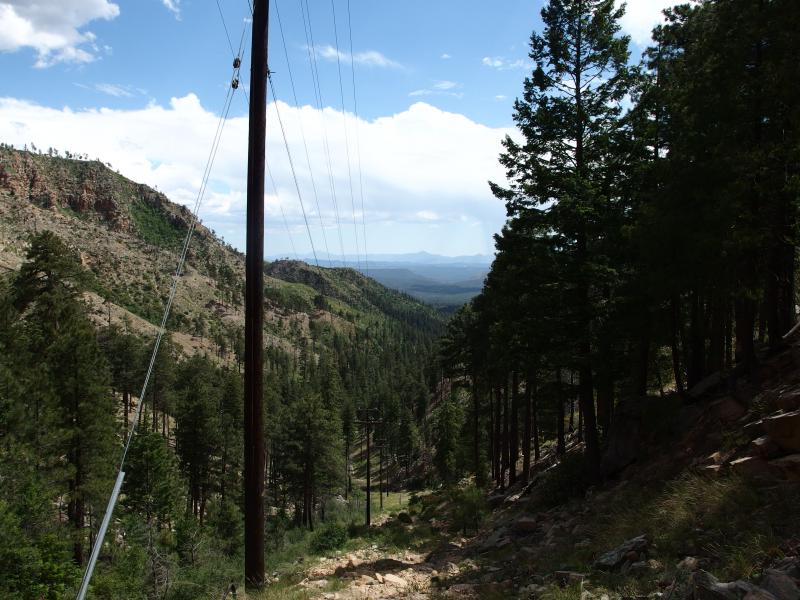
Steep descent down

Mogollon rim fading from sight
Along the way I passed a few interesting people. There was a couple with a baby strapped to the father's chest heading up to the railroad tunnel. The tiny infant, which couldn't be more than six months old, seemed to be doing okay with the heat and swinging gait. Below them was a muscle-bound young man with his aging father and neither of them looked to be having fun. The son was constantly swatting away flies (none of which I could see) and the father was panting and sweating profusely. I offered them some food and apologized for my lack of water, though they turned me down.
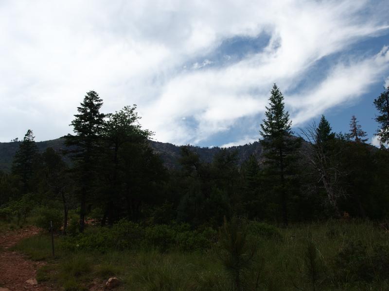
Last view of the rim
When I reached the bottom I quickly swung my gear off my back, unlocked my car, and drank several bottles of water. Dark and heavy clouds were still blowing this way so I took little time to change into dry clothes and start the long drive back. The hike had been a lot of fun, a wonderful contrast to the dry desert I had connected to Arizona adventures, though I wish my water filter would have worked better. Thirty miles is too far to backpack with only four liters to drink. I considered my first backpacking experiment a success and rolled into Phoenix just as the sun was starting to dip below the horizon.


-
Jacob Emerick
Aug 13, '15
I sure hope so - otherwise I'll be using a lot of purifying drops on future adventures!
Add to this discussion