Cabin Loop: Fred Haught Trail
Munchies and long sips of water helped to strengthen my resolve as I headed north on the Fred Haught Trail. After a tough climb up to the top of the Mogollon Rim I wasn't so sure on my planned 30-odd mile backpack. The food and flat ground helped immensely. My long legs set a good pace, one that I felt I could do all day long, and I tried to enjoy the dampness that the rainstorms had brought in with them.
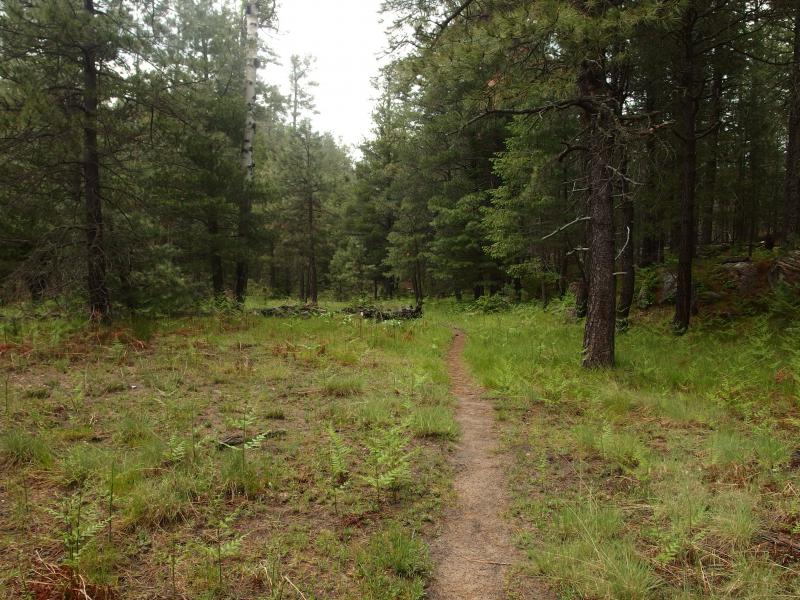
A well worn footpath
The footpath I followed was very easy to follow. I had been worried about this after reading a previous hiker complain that this trail was not well marked. As far as I could tell after (after ten minutes of hiking) I would be having no troubles finding my way. The path was worn deep, a few blazes marked deep in the nearby trees, and when the trail did veer up onto some rock there were helpful cairns to steer me along.
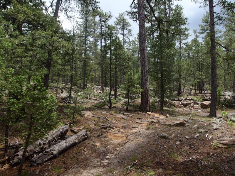
Rocky section of Fred Haught
Then again, this section of the trail was serving two purposes. It was the Fred Haught, part of the Cabin Loop, which I assumed had regular usage. It was also part of the Arizona Trail. This trail stretches from one end of Arizona to the other, some eight hundred miles long, and had a dedicated association to build and maintain the trail. Maybe when the two separate up by Box Canyon things would get a bit more difficult.
When I reached the rocky section where I had to follow the cairns, a short stretch sandwiched when two small springs meet north of General Springs, the sun came out and I took off my poncho again. I was reminded of my hike along Pictured Rocks when I kept taking my snowshoes on and off to traverse short sections of snow. The way today was going, with the intermittent storms, I'd be playing peek-a-boo with the poncho all day long. Oh well.
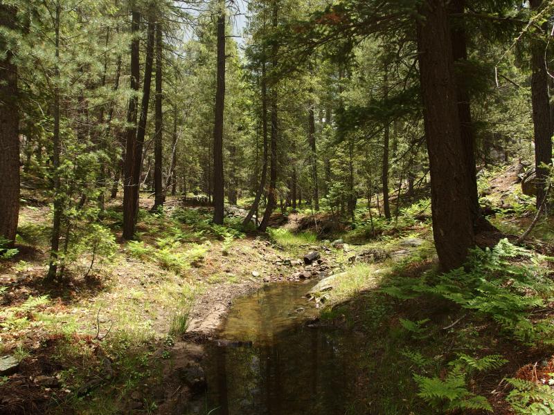
Large pools of water along the trail
Beyond the two springs merging there was enough water collected to form decent pools and a trickling flow along the trail. This was excellent. I had my filter on me and could refill my water easily. I sipped a bit more heavily, taking advantage of the situation. I'm not sure how much water to plan on, as I usually only bring two liters and get pretty dehydrated near the end, and I wanted to be a bit more comfortable today. If I filtered once or twice today, getting two liters with each stop, that should be good.
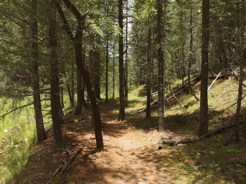
Trail playing along the side of the creek
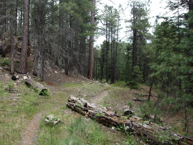
Tall pines rising up along the trail
The trail crossed and re-crossed the trickling creek, undecided about which bank was easier, though both were covered in thick pines and seemed equally nice to walk along. The few trees down over the way had been cut back and the hills had been carved into. It was a very easy path to walk. I ambled along in silence and let the quiet murmur of the woods drift me into a pleasant state.
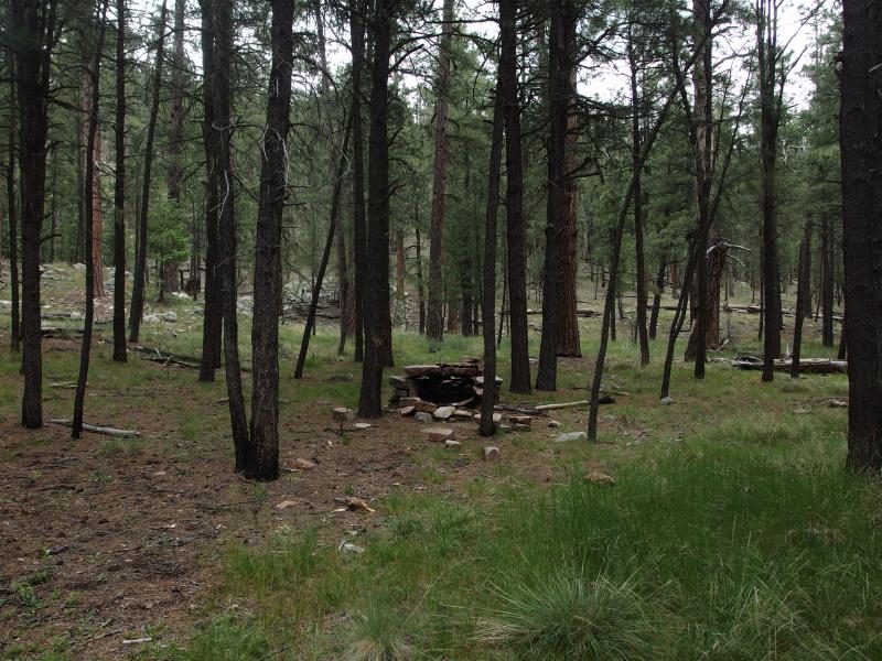
Campsite with a fancy firepit
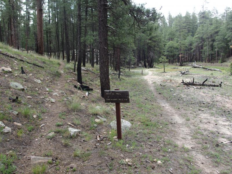
Fork in the trail
Before the Arizona Trail split off I bumped into the first nice campsite. Rocks had been gathered into a large semicircle, almost like a stove, and some clearings sat around it. Finding a good place to camp this evening didn't seem like a problem if there were already spots less than a mile into the loop. I passed the stony firepit and took the Fred Haught fork ahead.
My first big decision arose next when I reached a spur. While I was hiking the Cabin Loop not all of the cabins in the area actually sit next to the trail. At least two were located on short spurs off the loop. Was it worth heading down these spurs to check out each and every cabin? I debated for a few minutes before shrugging it off and passing the spur to Fred Haught Cabin by. Returning to this area wasn't out of the question, and I really wanted to make good time to Pinchot. Even if I reached Pinchot Cabin and Spring this evening that left a lot (over 2/3rds) of my distance for Sunday, something I didn't want to do, so if I could put in a few miles after reaching that destination I'd have a much more equal divide between the two days.
My trail climbed up and away from the creek on the north side of the spur to Fred Haught Cabin. I knew my time along the creek was limited, as the loop climbs a series of ridges to the east before doubling back south, but I knew I would miss it. I checked my water (still had plenty left) and slowly climbed out of the low canyon. The woods seemed to dry up almost instantly as I lost sight of the creek behind.
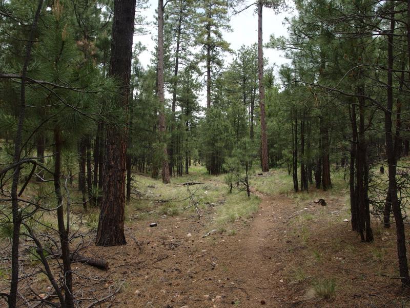
Easy path over needle-covered forest floor

Gorgeous skies above the tall pines
The size of some of the pines up here was ridiculous. I was used to tall pines in some locations of the Upper Peninsula, when I was lucky enough to find a stand of old growth, but these giants didn't look that old. They just looked tall, like a random shoot of asparagus that decided to be a tree. They really stood out on the ridges as I walked up and down a few times on my way past Quien Sabe Draw.
It was on the other side of Quien Sabe that I was dragged back out of the woods. For the last two hours I had been hiking through the woods with only a few loud planes overhead to distract me. Up on the Fred Haught Ridge a dirt road crossed the lonely path. I paused on the road, gazing up at the ominous clouds overhead. That afternoon shower might turn out to be a bit more stormy than I wanted. Well, hopefully I'd be further on the trail by then. I pushed on, re-entering the woods, only to be shoved back out on the same dirt road in fifteen minutes after it looped around.
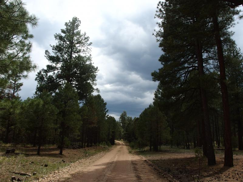
Dark clouds beginning to roll in
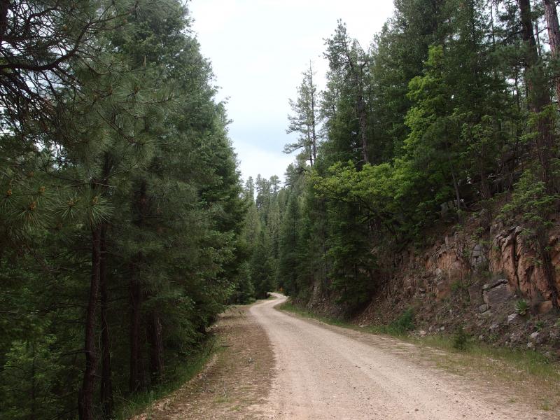
Along the road in Bear Canyon
This time there was no trail on the other side to sneak back into. I looked around confused, trying to figure out where to go, before figuring out that I had to turn and follow the road downhill. A very steep Bear Canyon cut a sharp line across my route and I had to get across somehow. Slightly bummed to be stuck on a dirt road I trotted down, crossed over the culverted creek, and crawled back up the other side. As soon as I saw the trail, unmarked, dart off into the woods again I skipped off the road.
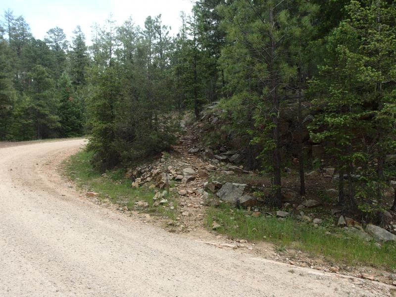
Getting back on the trail
My legs were starting to tire by now. My lunchtime snack was wearing off and I had run out of water about a half mile ago. Already I had hiked around eight miles with the forty pounds on my back and my calves and hips were hurting. Hips were a new hurt, must likely from the extra weight. The short uphill climb from Bear Canyon and further climb up off the road really took a toll. When I came out on a smaller dirt track, with a few lonely cars parked to the side, I was almost happy. These cars meant that I was near Pinchot Cabin. There's nothing else this far north that would explain three parked cars.
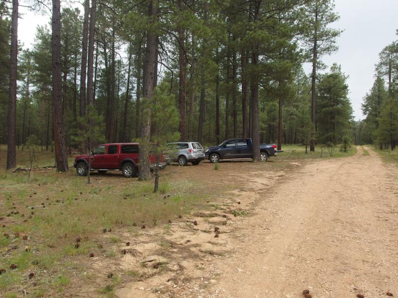
Few cars near Pinchot

Wide path swooping down to Pinchot
Beyond the cars the trail swung around, suddenly as wide as an old two-track, and descended down towards the springs below. I half-trotted with the needle trail and went through an old forest gate. There must have been active grazing here recently, within the last twenty years or so, though I doubt that there is any today. I still closed the gate dutifully behind me. A few short minutes later and Pinchot Cabin showed up on the edge of a wide, grassy clearing.

The lonely little Pinchot Cabin
I crossed the creek, ventured over to the cabin, and removed my pack. Sweat that had been collecting on my back gave me a quick shock of cold as it was exposed to the open air. The clouds above still looked to be holding off so I grabbed my water filter and headed down to the creek. It was time to water up.
There was more than enough flowing down from the springs for me to find a good spot to setup. The filter seemed to be acting a bit weird, so I positioned things differently so I could watch the water drip down into my bag. Sure enough, the filtered water was barely dripping out the bottom. Much of the pumped water was just getting forced back down the input hose. My pump, which should have an output close to a liter a minute, was doing a fraction of that.
I didn't have any other choice; I wasn't about to drink the water unfiltered. Settling in I pumped steadily for thirty minutes. By the time I stopped my hand was sore from the plastic handle and my shoulder ached from the pumping and I had about a liter. This, this was going to suck so much. Even though I was thirsty I didn't touch a drop of filtered water. I headed back and munched on some snacks and reviewed my map.
Rain started to splatter down as I sat under the porch at Pinchot Cabin. This cabins door was boarded up so I had barely a foot to huddle away from the falling rain and even that was under a holey roof. There were no spigots up here, only creeks that need filtering, and I would be passing by a few of those. So as long as I had the patience to pump for thirty minutes or more I could live off a liter at a time. Of course, meals would eat up an annoying amount of that water, but at least I wasn't eating too much dehydrated stuff.

Fence running through the pine forest
The quick shower ended so I shouldered my pack and continued on the trail. I was now on the U-Bar, which swung further east before coming back down to the south. There were a few streams along the U-Bar, each of which would make a fine camping spot, and the closest one was just over two miles away. I had considered stopping at Pinchot for the night, with the spring here and everything, yet there was still four hours of daylight. I hate wasting daylight.
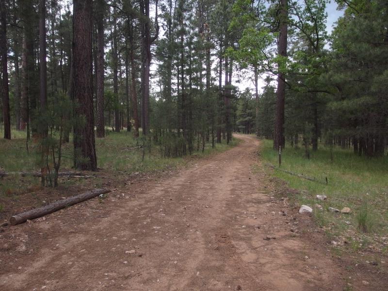
Boring dirt road
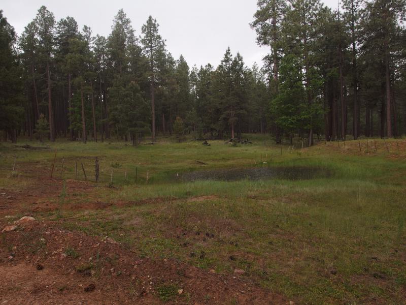
Rain falling over a little pool
My trail gave way to an old dirt track as the clouds began to darken overhead. Thunder boomed around me as I tried to figure out which forks to take. There was no markings along the track, just random forks, and I guessed wrong a few times. If it wasn't for my GPS and a backup map I wouldn't have been able to figure out which way to go. Big heavy raindrops started to fall down and I pulled on the poncho for the third time today. Within minutes the ground was soaked and a mixture of mud and water was splashing up from the pelting.
Luckily I was back on a trail by now, off the confusing tracks, and didn't have to worry about double checking the map. The changing temperatures and humidity had quickly clouded up my glasses anyways. After ten minutes of the storm I began to consider taking shelter. I was too far past Pinchot to return, and I knew better than to pick a tree and huddle underneath, but maybe there was another cabin out here. Or at least a large rock. I spotted something to the left and veered away towards it to only find the a circular water tank. While it would have provided some shelter against the slanted rain it was sitting in an open field and was surrounded by puddles of water. I decided to keep on the trail.
The storm lasted thirty minutes before tapering off. I hadn't seen any lightning, yet the thunder and downpour was more than enough to put me on edge. My pants and boots were soaked through and I felt heavy in the cool aftermath. I had no plans on hiking too much farther today.
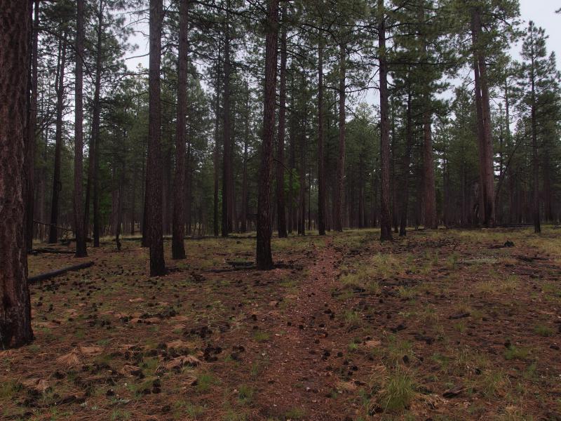
Soaked dark forest
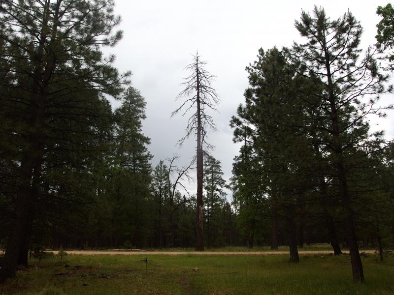
Dead giant standing alone
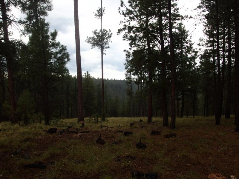
Misty canyon below
When a canyon began to open up to my right and the ground started a general downward slope I let a sliver of hope in. I was getting close to Barbershop Canyon. Maybe there would be a good place to camp down there. As I got closer a few clouds drifted in and out of the trees, and between the wet air and tall pines I suddenly felt like I was hiking up in Washington close to my parents. Huh, maybe that'd be a fun adventure one day, to hike the woods of Olympic National Forest.
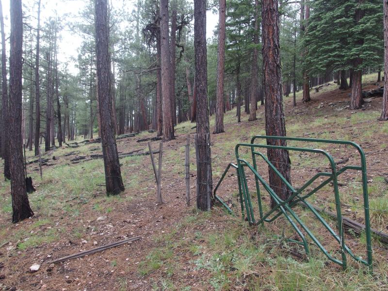
Sticks and barbed wire as a gate
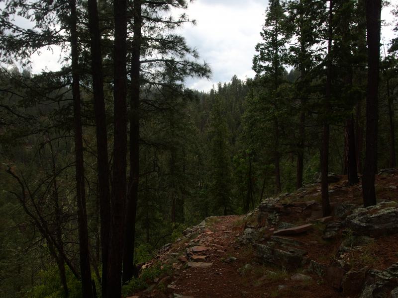
Sudden descent down Barbershop Canyon
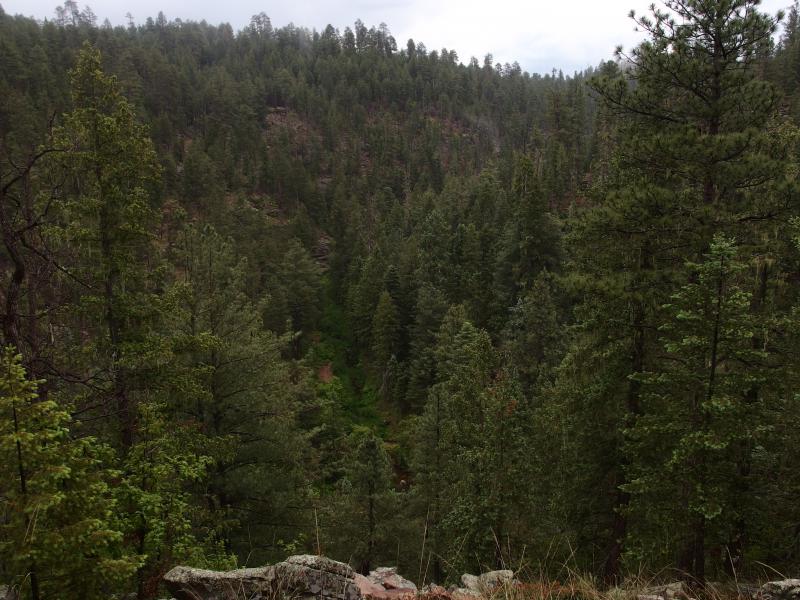
Looking across the wet scene
Past a gate of wire and sticks and the trail suddenly twisted on a steep downhill angle. This was no mild crossing like the one over Bear Canyon - this was the real deal. I trotted down the slick rock and dirt and listened with everything I had. I had not heard a human voice since leaving General Springs Cabin. The last thing I wanted was to bump into a large group down at the bottom of this creek.
Nothing alerted me as I descended into the misty, quiet canyon, and I soon saw an open campsite on the far side of the trickling creek. A better one sat a few yards downstream. I took the better one, complete with a large firepit and several rock seats and dropped my gear. This, this was going to be nice. As long as a big group doesn't come by and try to steal the site, that is.

Perfect campsite at the bottom
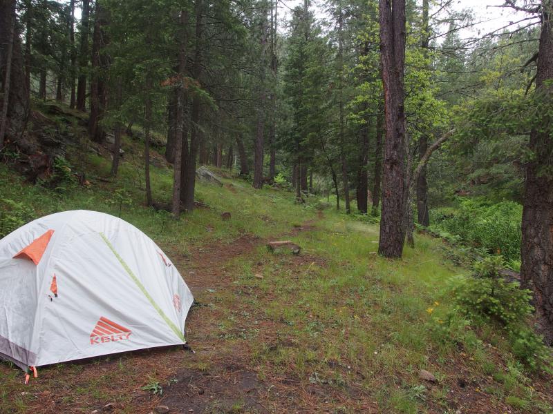
Pitched tent for the evening
Twenty minutes later and everything was set up. My wet gear was hanging up to dry, my tent and gear was stowed away, I was (somewhat) cleaner and in dry clothes, and it was time to start making dinner. The rest of the evening passed by in wonderful slow motion. This was the perfect setup, down next to Barbershop Creek. It had been a tough hike in, with the late morning climb and rains, but this was worth it. No other hikers came along the trail and I spent the night in blissful solitude.


-
Jacob Emerick
Jul 27, '15
Gear is a great discussion - I actually plan on writing a post about that very soon :)40 lbs was a bit much. A lot much. The base weight was around 35, with 5 being food & water (mostly water). Much of that was old gear. I have a legacy sleeping bag and pad that are 4 lbs apiece that take up a ton of room in my bag. I just bought some new stuff and went backpacking last weekend (that post coming soon as well) and was down to 30 lbs, which felt so much better. I'm jealous that you're able to do that weight w/ all your camera gear!The scrubbie was the missing piece. I left the brillo pad at home and regretted it greatly. This last trip was a much better experience. Having a backup (chlorine tablets) is a really smart idea. I've drank out of a few creeks in Michigan, and even Lake Superior, without any ill effects before but am not sure if that was luck or not. I wouldn't trust the parched pools of Arizona without purifying tablets or filters.
-
dcclark
Jul 28, '15
Wow, a 4 pound pad is HEAVY -- I think ours are under 1 pound each (and they aren't particularly special). It sounds like you're headed the right way.The Chlorine tablets are 100% worth it. I've been considering not even bringing the heavy old filter this year. The one downside to Chlorine tablets is that they need 4 hours to fully work -- great if you can leave them setting while you rest, bad if you need water right away.
Add to this discussion