Browns Peak of Four Peaks
Chris and I had already completed two iconic Phoenix hikes: Camelback and Superstition Ridge. It's weird to put those two in the same class, with Camelback a single 1200' climb and the ridge around 5000' of continuous up and down. Anyways, the third iconic hike beckoned to us far to the northeast, poking up in the horizon, visible from most any part of Phoenix. Four Peaks was the last major location that we had left to visit.
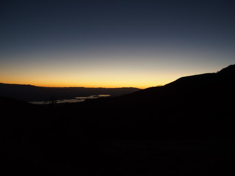
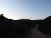
Roosevelt Lake in the dim light
We picked up Kirsty, a Reynolds cousin who lived in Chandler, and headed up 87 towards our climb. The plan was to drive over up the backside of Four Peaks via El Oso Road, rumored to be a shorter and easier drive to the trailhead. The plan meant that we had to leave around four in the morning to hit the trail by sunrise. It was a long and windy drive, especially on the dark hairpin curves of El Oso, and we were exhausted by the time we stepped out of the car.
Now, Four Peaks has four individual peaks (thus the name). All of them are well above 7000' and they lie on a ridge less than a mile long. The tallest one, Brown's Peak, was our goal for today. Hiking the ridgeline was on our list… Just not for today. We wanted to try out one of the peaks before hiking all four.
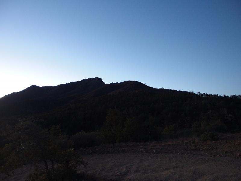
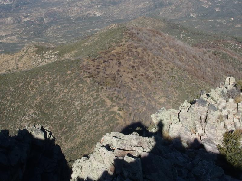
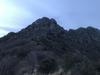
Shadow over the peak ahead
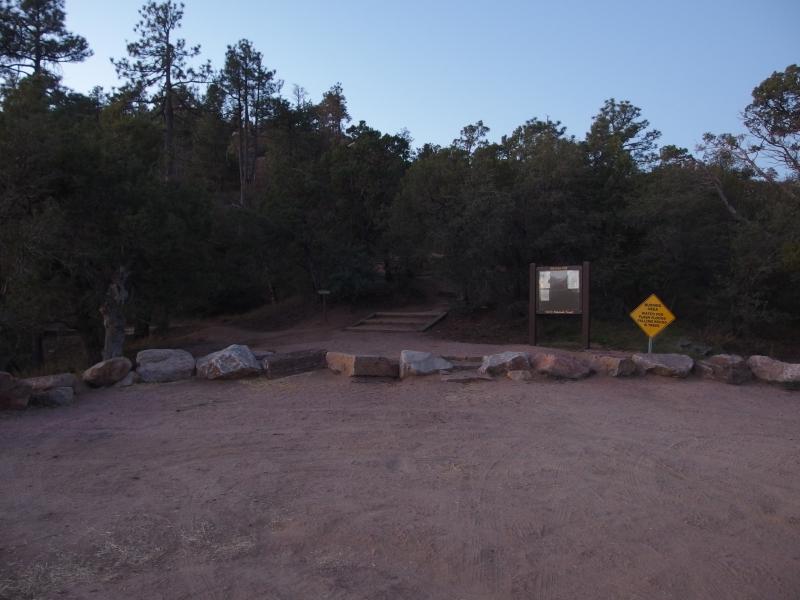
Nice trailhead and lot
We were the first to the parking lot up here, arriving some thirty minutes before the sunrise. The huge bulk of Four Peaks would be hiding us from the morning sun for hours anyways. The trailhead was built-up with signs and rocks marking the parking and two trails branched out. Neither was marked. I led us down one for a while, noticed an alarming downhill trend, and turned around to try the other one. We had 1700' feet to climb today. Downhill was not a direction our trail should be starting with.
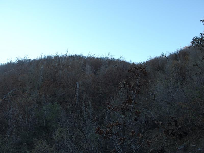
Our climb started through open pines, the long needles over sand making a pleasant cushion to walk on. It was a nice change from our usual desert scene. There were a few agave that cropped up on occasion, sprouting up when there was a break from the pines, but it was mostly pine. It wasn't until we rounded the first hill that brambles and burnt forest took over.
Tight brambles clustered around the trail
A careless human caused a fire in this wilderness back in 1996 that burned most of the east face on Four Peaks. And the scars are still painfully obvious. It may be the dry climate, or the high elevation, but few of the charred stumps and branches have rotted away. Dark and twisted arms reached up from a bare ground around the trail. Where new foliage grew it was spiky and clustered and tore at our clothes. This hike was probably a lot more fun some twenty years ago.
Scraggly brush hiding the peak
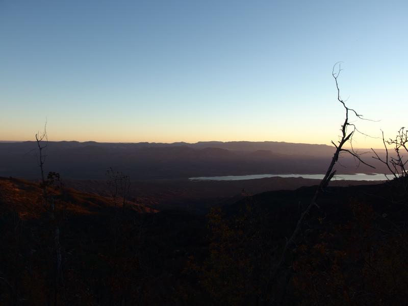
Sunlight poking out on Theodore Roosevelt Lake
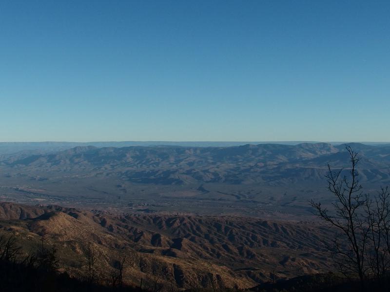
Sunlight began to pour over Theodore Roosevelt Lake, a reservoir on the Salt River. All three of us were still bundled up against the morning chill. It was close to 40 up here, a temperature I felt comfortable with a single light jacket and my thin-blooded companions hauled out fleeces for. The light peaking up in the distance and lighting up the hills behind us did little to cut the cold. Again, we'd be in the shadow for most of this hike. The sun's heat wouldn't hit us until we made the peak.
Light shining on the northern hills

Long shadow of Browns Peak
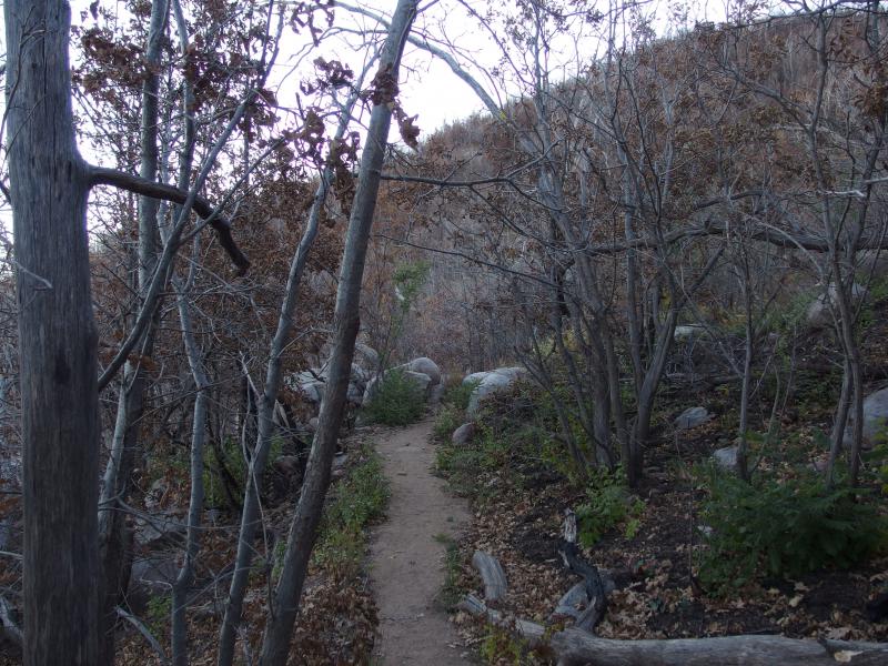
The path continued on along the side of a rolling hill. There were some dead leaves on a few trees now, signs of post-fire life showing up here and there. Perhaps some of the dead I had attributed to the fire was normal seasonal shedding. Our sandy path wove in and out of the hill, slowly gaining elevation as we ducked under the mostly bare branches.
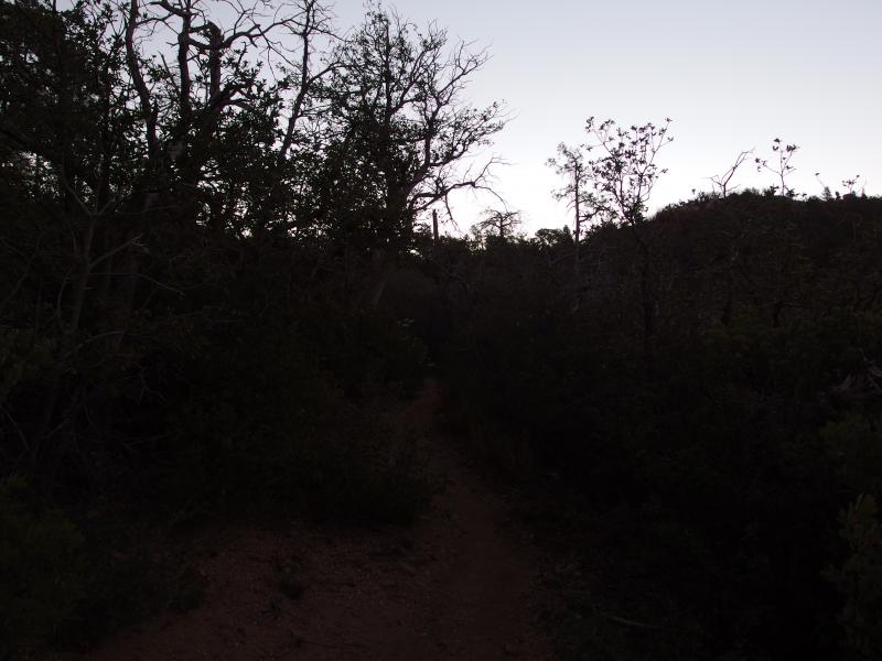
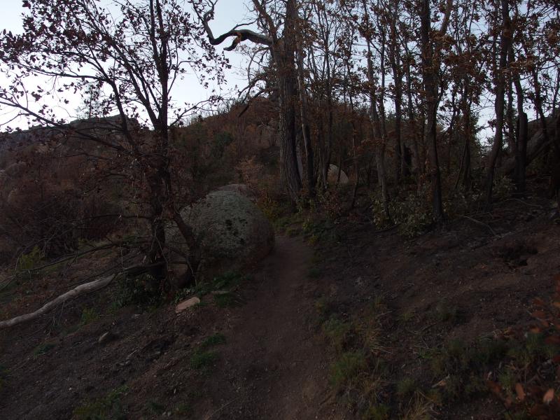
A narrow footpath
Old burn forest
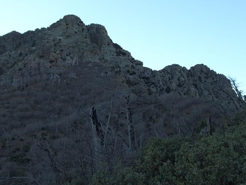
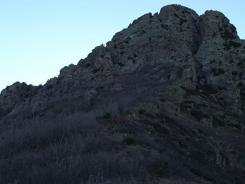
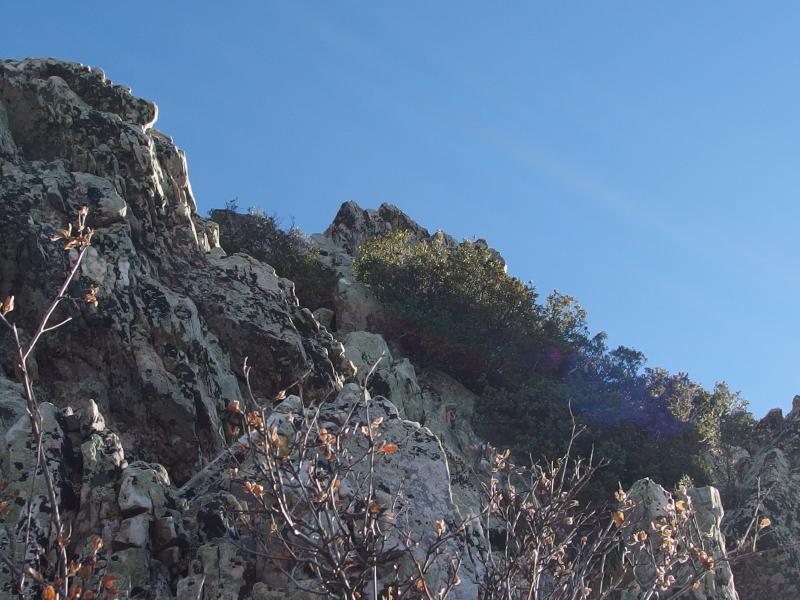
We talked as we walked, catching up with Kirsty and scheming on a possible rim-to-rim Grand Canyon hike. It was a real surprise when we rounded a bend and Brown's Peak showed up. We didn't expect it so soon, slightly over an hour into the hike. And it was a craggy, imposing face of rock. We stood, awed by the steep uplift, trying to guess just how we were going to ascend it.
First view of the craggy peaks
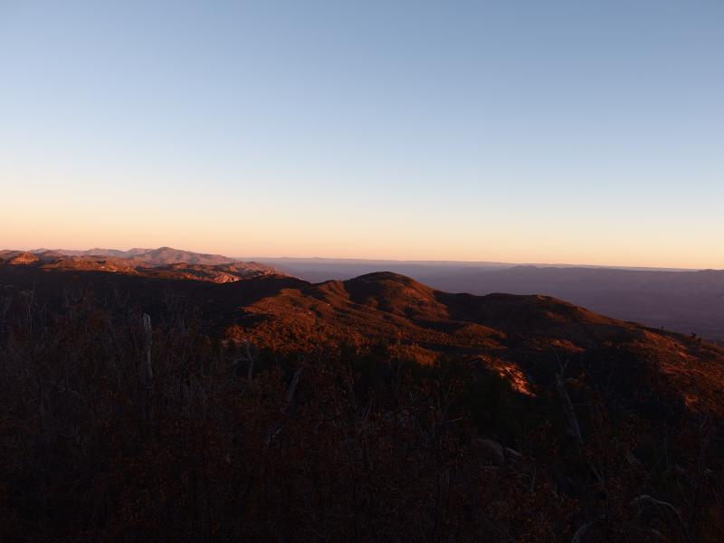
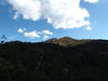
As we scanned the rock, guessing at which crack or ridge we were supposed to use, our feet meandered along the trail. There was a saddle up ahead. Those rolling hills that we had been following the side since the start of the hike, we finally made it to the top of those hills in that saddle. From here we were greeted with an expansive view west towards Phoenix, Usury and Superstition Mountains looking so tiny and insignificant from our height.
Looking west towards Phoenix
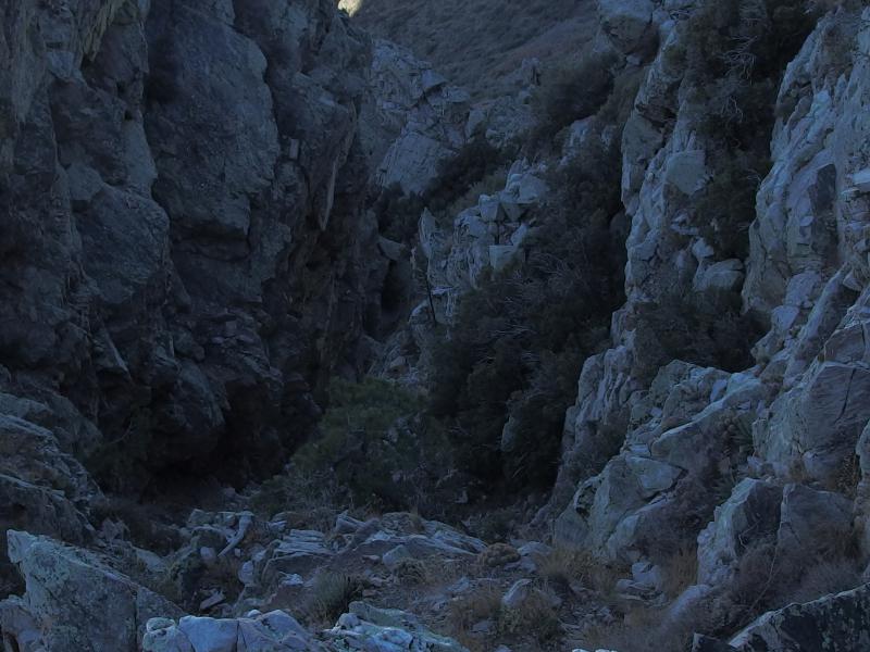
The narrow crack up
The saddle also gave us a clean view up the crack to Brown's Peak. It was a narrow snaking thing, filled with scree at the bottom and appearing too steep to climb at top. Our path led to it, though, so we followed. I dropped my jacket and the two bottles of water I had carried, preferring to tackle this sort of climb as light as possible, and led the way up the swiftly sloping hillside.
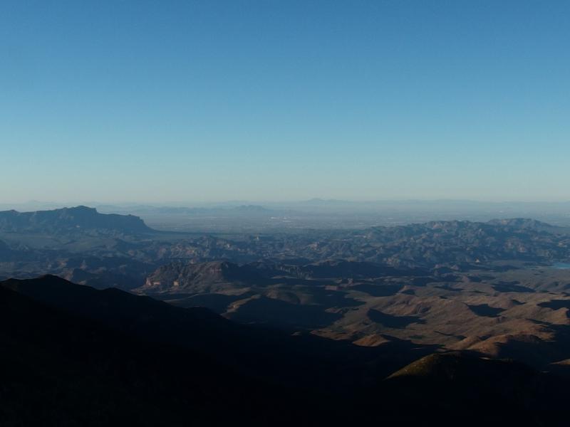
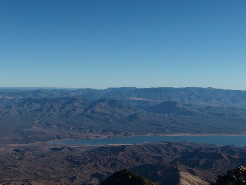
Trees and brush fell away from the hill as we climbed, thinning on the slope before completely disappearing when we reached the hard rock of the mountain peak. We decided to stick to the left side of the narrow crack. There was a lot of scree, lots and lots of loose rock, this far down in the crack that none of us wanted to tackle. With a bit of good luck we could stick to the left and skip most of that. Plus, the view east of Theodore Roosevelt Lake's inlet was interesting. There was a distant high ridge that was starting to tower above the hills on the far side, over where I guessed Heber lay.
Valley north of the reservoir
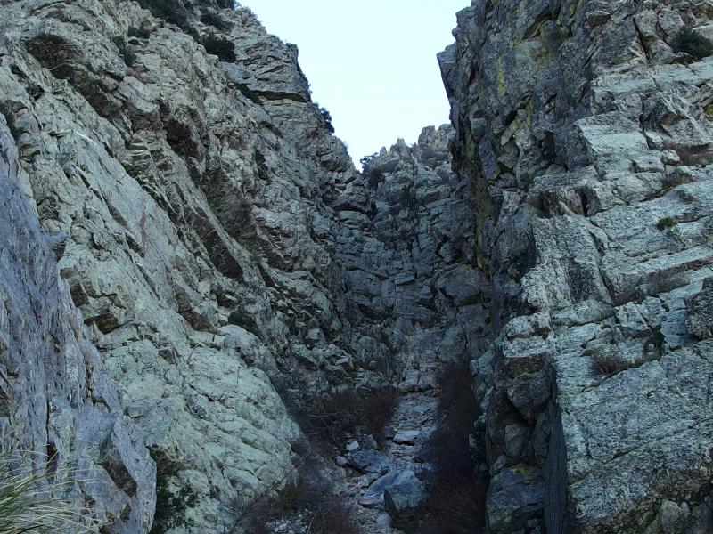
Within the harsh rock crack
Our route proved to be a smart one. It crested into a horizontal ledge that took us right to the crack. We had maybe forty feet on the slip-slide scree before reaching clean rock. The narrow crack was an interesting formation - some ten or fifteen feet wide at the base, sharp walls, and just steep enough to challenge a hiker. Kirsty was the shortest in our group and had a few tough sections, spots where Chris helped her up and over a steep wall, but otherwise we made good progress up the peak.
A narrow view out
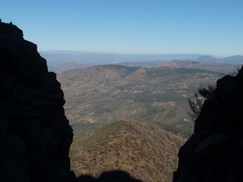
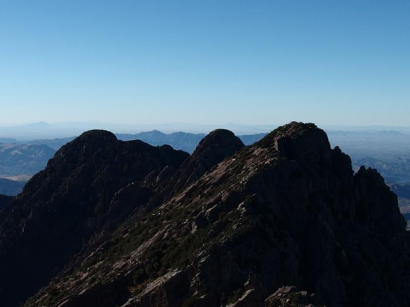
Compared to most of our hikes so far in Phoenix this was fairly steep and intense. Especially compared to the mild grade along our walk out here. We quickly gained ground, new views opening up to the south every couple of minutes. When I eventually broke to the top of the crack the view to the north was outstanding. The ridgeline stretched away, rugged peaks breaking up like angry frozen waves, daring us to continue on.
Looking south along the Four Peaks ridgeline
Even more left to climb
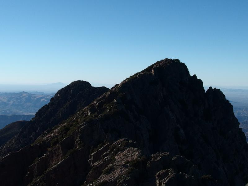
We turned from the challenge and finished climbing Brown's Peak. The crack only takes you to the shoulder of the peak and we had another fifty or hundred feet yet to climb over very exposed rocks. Brush grew up, prickly and hard, forcing us to circle around or deal with dozens of stabbing cuts. There was no trail up and there didn't have to be. We just had to climb up.
The other three peaks
Wild lands beyond the reservoir
McDowell Mountains, tiny and distant
Views from the peak were incredible. Chris and I peered east for a good long time, speculating on possible hikes beyond the reservoir. Salome Wilderness is out there, just on the other side of the lake, and Sierra Ancha beyond. It'd be a long drive from Phoenix, though a long drive meant less people.
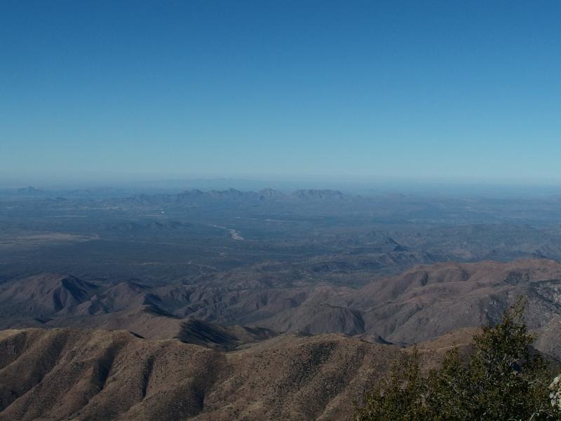
There was plenty of other sights to take in besides the eastern view. Mazatzal lay to the north. Four Peaks is technically part of this range and is not the tallest point - Mazatzal Peak is a good 500' taller. And then there was the western view, with the tiny McDowell range marking the edge of Scottsdale in the hazy distance.
Eventually we decided to head back down. Katie was hoping we'd be back by noon, a schedule that we already broke with the slow ascent up the peak. I poked over the edge once, looking down on our route, and wondered just how we even climbed this thing.
Back down the path
Very carefully we crawled down to the crack, helping each other out on good handholds over the boulders. Once we were back in the narrow gap it was surprisng just how dark and cold it was compared to the direct sunlight on the peak. It was a long and arduous way down, meandering back and forth, looking for the most reasonable route without a hard slip and fall.
A steep descent over loose rock
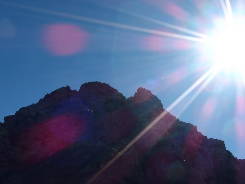
Bright sun over Browns Peak
Before we reached the bottom we passed a brave solo climber heading up, the rest of her party shifting restlessly on the saddle below. They were the first hikers we had seen out here (there was an empty tent below the peak but we didn't see or hear the camper). I pushed us back quickly down the trail, hoping to make back some of the lost time in vain. Brown's Peak was much more popular than we would have guessed. There was a good six groups that we passed by on the way out and the parking lot was half-full.
As we drove back down the windy El Oso towards Phoenix we talked about other hikes and returning to the hike the full ridgeline and such. I kept glancing back up at the mountain. The road was tough, much worse than I felt safe taking a normal vehicle down. Chris had volunteered the use of his car, something I was grateful for, because if I wanted to come up here again there is no way I'd take Katie's van (our only vehicle at the moment). Would it be that crazy to take a trail or walk the roads from 87? To climb Four Peaks from the bottom, from 2000'? That was something I could get behind.
Comments (0)