Bob and Paul Lakes
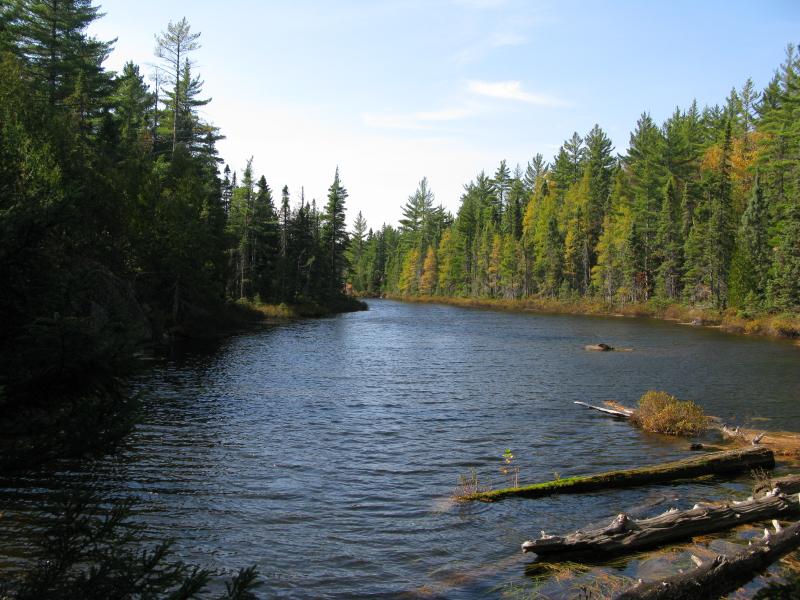
Standing on the shore of the Yellow Dog River I took a deep breath, letting the cool fall air fill my chest. This was a familiar spot, where a remote USGS station measured the river a few miles upstream from Pinnacle Falls. The two-track had taken me from the AAA road to here, the southern edge of the Yellow Dog Plains, and it continued across the river up the steep highlands. A bridge might have existed here in years past, giving loggers and landowners an easy way across the river, but today the only way across was a shallow ford. After hesitating for a while longer, trying to judge exactly how deep the water was, I plowed in and hoped it would not flow over the tops of my boots.
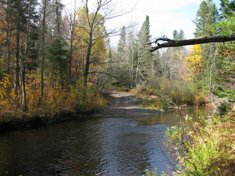
Two-track ford on the Yellow Dog near the station
Once I crossed the river I followed the two-track, which wasted no time in decreasing in quality and increasing in slope. Most vehicles that now used the road were probably ATVs, heading up the 200 foot slope to the highlands above. I know that this track connects with Mulligan to the southeast but was surprised to come across several forks that led west. I took the second fork, a deeply rutted track that only the most adventurous motorist would attempt, and took me up and over to the west, along the ridge of the highlands overlooking the Yellow Dog Plains to the south.
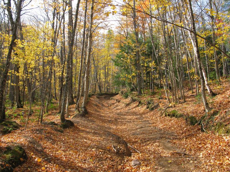
Deeply rutted two-track leading northwest
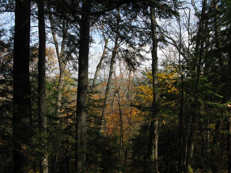
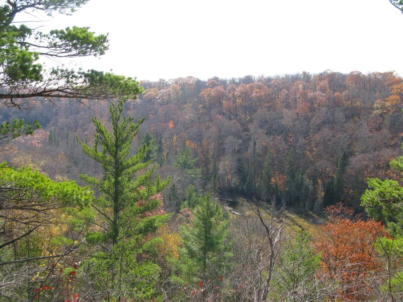
Obscured view of the Yellow Dog Plains below
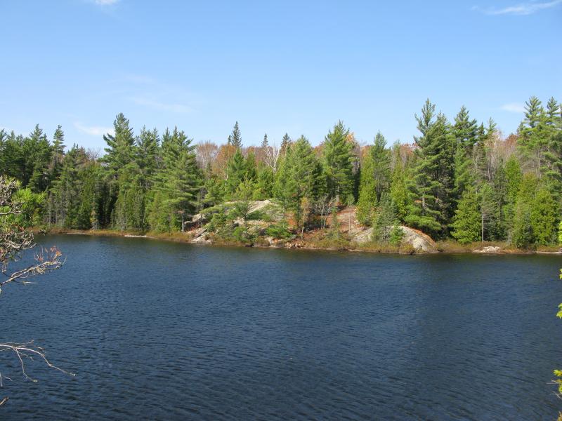
The track quickly cut south away from the ridge and paralleled the first of my destinations. Bob Lake is a large, teardrop-shaped body of water with plenty of grassy spots lining it's shores and a small overflow creek that falls down to the Yellow Dog below. Stubbornly sticking to the sandy two-track, wondering if I'd find a branch over to the lake (which doesn't exist), I didn't cut through the tangled brush over to Bob Lake until I had almost passed it by.
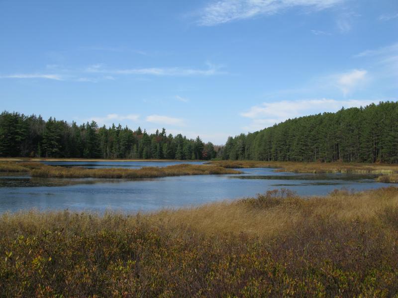
Peaceful, grassy Bob Lake stretching to the north
Standing on the shore of Bob Lake was a serene experience. The lake itself is little more than a shallow swamp, with tall pines lining the sides and grassy brush reaching out to the ruffled water. My hike had been very peaceful up to this point, being so removed from major roads, but looking out on such a large clearing with the sky stretching above... this was a new level. I moved away from the woods, leaving the big trees and rustling leaves behind and stepped onto Bob Lake. When I reached the southwest shore, where I knew I had to leave the lake to continue my shore, I lingered reluctantly for several minutes before being swallowed up by the woods again.
It was only a fraction of a mile to the northern Paul Lake but it felt like it took ages. The fall leaves were incredibly noisy underfoot, especially compared to the tranquility of my surroundings, and they did a great job covering up unsteady footfalls and puddles of water. My progress slowed as I carefully headed south along some lowlands, occasionally jumping up onto fallen trees to break up the trek. Finally reaching the eastern shore I was surprised to note just how different this lake was from the one I had just left.
Narrow western arm of the north lake
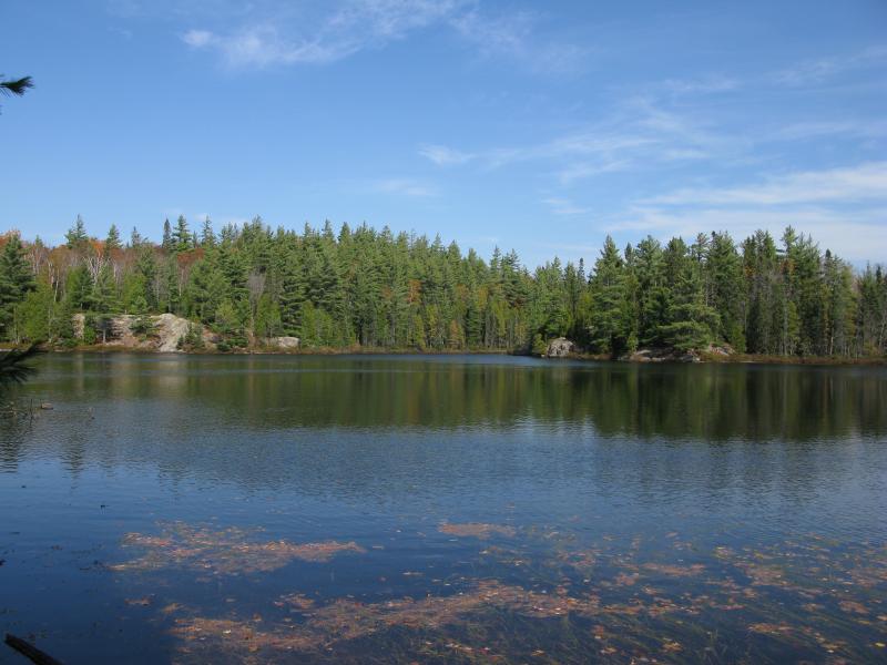
Unlike Bob Lake, the Paul Lakes are more traditional Huron Mountain ponds. They are deep and are surrounded by a healthy mix of exposed rock outcroppings and spongy wetland. While this change of scenery was interesting it made for a much more difficult shore walk. There was no grassy shore to walk on around the edge, but short trees, sudden rocks, and wet undergrowth instead. After my initial glance I took a welcomed cut across a spit in order to avoid the shore and came out on a view of the large western half of the lake.
Rocky chunk of the northern shoreline

Swampy shoreline on the north lake
From the eastern shore of the north Paul Lake
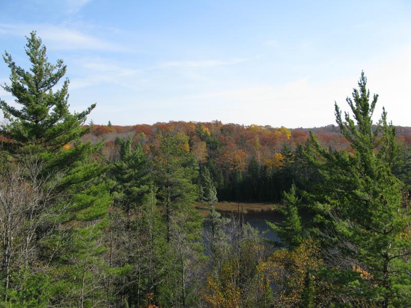
After a brief respite from the thick woods thanks to an exposed spur of rock I followed the eastern shoreline along what I'd assume is a beaver dam in ill repair that squeaked wetly underfoot. Once I made it past the dampest section of shoreline I left the northern lake and climbed the tall hunk of rock separating the two lakes and got a glimpse of the southern Paul Lake below. With the exception of a grassy eastern arm it looked too similar to the north lake to warrant exploring, so I headed back down to the north. There was one more spot I wanted to visit before completing my walk around the norther Paul Lake, just to the west, and a short walk along a rocky ridge brought me to it: an exposed view down a 150 foot deep canyon surrounded in fall foliage.
Glimpse of the southern Paul Lake
Down into the canyon in the west
A small creek at the bottom of this canyon drains south to Mulligan Creek. The rocky outcropping gave me limited views of the canyon, but the angle wasn't right to see straight south like I had hoped. It was still a great spot, and I sat for a while and enjoyed the warm sun and bright fall colors. When I decided to turn around and head back to the lake the sun was already in late afternoon position, and I was going to be hard-pressed to get to my camping spot before nightfall.
I made a risky decision to finish my route around Paul Lake and headed up to the northern shoreline. Earlier I had spotted a large rocky chunk here that reached out into the water, and hoping to save some time I made a beeline through the swampy woods to it. Worn ground and suspicious scratches led me up to an unexpected ATV trail heading north. I was thoroughly confused - after all, I had just walked from Bob Lake to Paul Lake and had not crossed a single trail. Curious I followed the trail north, hoping to save some time and find out where the trail led.
At first the trail was very rugged, with deep muddy ruts and numerous windings around boulders and trees. I passed Bob Lake along the western shoreline (although I couldn't make it out through the trees) as the ground evened out and the track straightened. When I started heading downhill in an eastern direction I figured out where I was - this was the first fork from my original trail. I had taken the second one in the beginning, which had taken me to the east shore of Bob Lake. The first fork was a somewhat direct route to the northern Paul Lake. I couldn't have planned this hike any better.
Bob Lake and the Paul Lakes are located within a narrow strip of highlands between Mulligan Creek and Yellow Dog River. There are several ATV trails in this area that make this otherwise-rugged land accessible. Stag Lake to the east, Mulligan Falls to the south, and multiple canyons and outcroppings to the east and west make this varied and exciting place to visit. I'd recommend this area for adventurous hikers who aren't afraid of a little bushwhacking and are looking for some remote locations.
Comments (0)