Beverly Loop of South Mountain
Flushed with recent successes I quickly rushed Noah through his morning routines. Last week him and I had a great time on the Goldmine Loop of the San Tan Regional Park, a fun adventure that I was hoping to turn into a regular occurrence. For today I had picked out a nearby destination (South Mountain), planned a route to minimize direct sun (Beverly -> Javelina Trail), and made sure the temperatures would be okay (starting around fifty warming up to seventy). As soon as he was done eating his waffles we piled into the car and headed west to the 46th Street Trailhead.
Driving down an empty 202 is always a pleasant change and I got us to the parking area some twenty minutes after the sunrise. It was colder than I thought it would be, a soft breeze kicking up the goosebumps, and I bundled Noah up as much as I could with a sweater and sunhat. As expected, he ripped off the hat and looked up at me with a mean look. I swung him up on my back and we started down the trail.
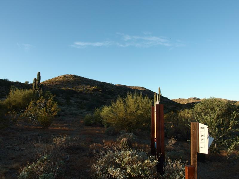
Low hills around the trailhead
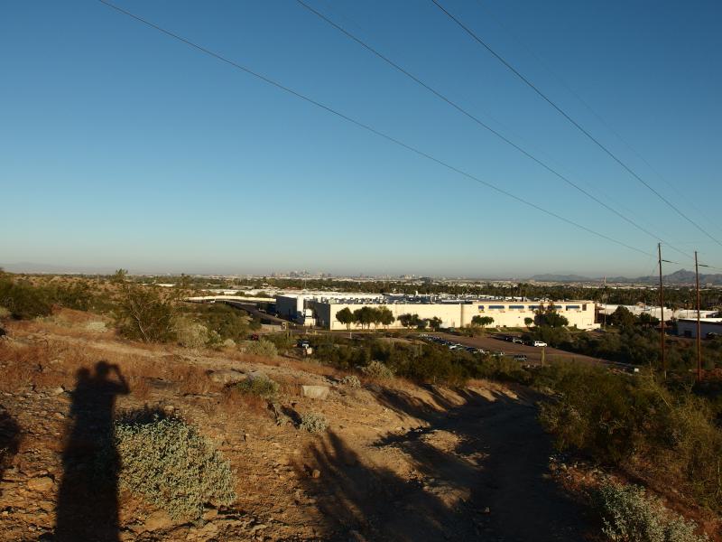
Looking down on a full parking lot
Beverly Canyon Trail loops a short distance east and south before following a canyon southwest into the foothills of South Mountain. This mountain never really gets too tall, topping out close to 2700', peanuts compared to the nearby Sierra Estrella or the other ranges that border the Valley of the Sun. And the foothills around Beverly Canyon only get up to 1700'. Even with Noah on my back this hike should be a cakewalk.
The hook into the canyon was nice and quickly shut out all but the loudest city noises. I didn't expect to fully escape the city, not with US-10 a mile or two to the east and plenty of nearby neighborhoods. In fact, one of the housing clusters came up right next to the trail, close enough to see in their back windows.
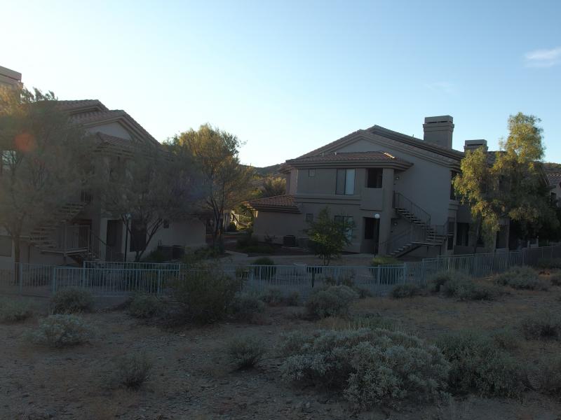
Houses sitting along the trail
We cut up and over a small ridge and the houses were lost behind us. The buzzing powerlines continued on, though. I set on with a grim pace. A remote hike I didn't expect, not so close to Phoenix, but this was a bit much. At least there was some route-finding to do. The trail was not marked and was just one of many through the canyon. An access track for the powerlines crisscrossed our path multiple times and other side spurs cut up the nearby foothills.
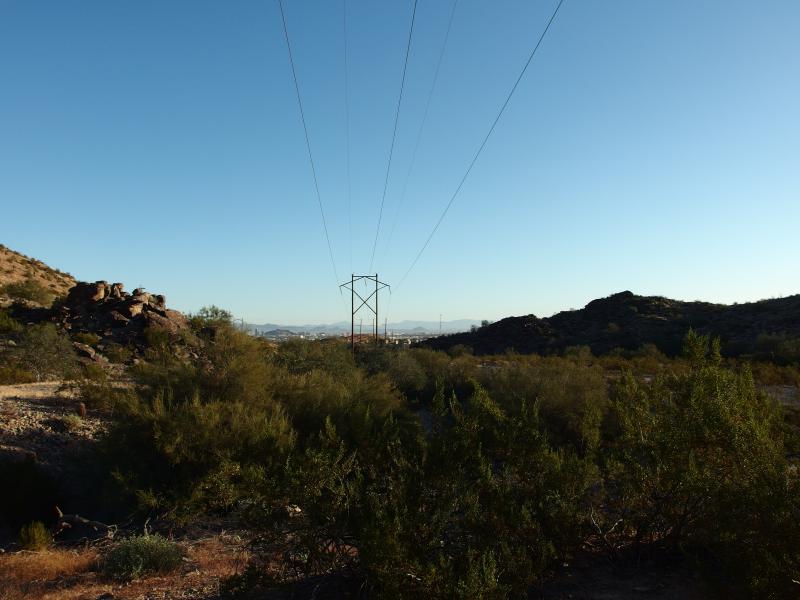
Overhead powerlines humming away
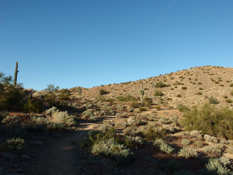
Sandy path between the low foothills
A few groups of people were walking the nearby ridge on the north side of the canyon. They were hard to make out from the scrub dotting the hills. It was a good twenty minutes before we bumped into another pair of hikers on our trail. After a brief hello they warned us of coyotes ahead, two of them, and then they continued their quick retreat back to their cars at the trailhead. Coyotes? That wasn't enough to turn me around.
Hoping to show some new wild animals to Noah I kept my eyes peeled on the surrounding hillsides. Sure enough, some five minutes later, I saw a tiny dog-sized animal trotting halfway up the north slope. I tried to show Noah but I don't think he could make it out in the distance. He was more than happy to merely play with my hand when I reached back to nudge him.
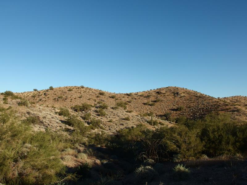
Hills spotted with small shrubs
We passed a few other groups beyond the coyote, at least two with dogs whom I warned (dogs + coyotes seemed like a bad time) and one other with a 2-year-old in a carrier. I began to wonder when our turn off for the Ridgeline Trail would show up. This short trail connects Beverly and Javelina, forming the short leg on our triangle. I asked a few hikers and half-guessed at a washed out slope to the right. It was our first main climb of the day and we tackled it with gusto, Noah urging me up the hard rock.
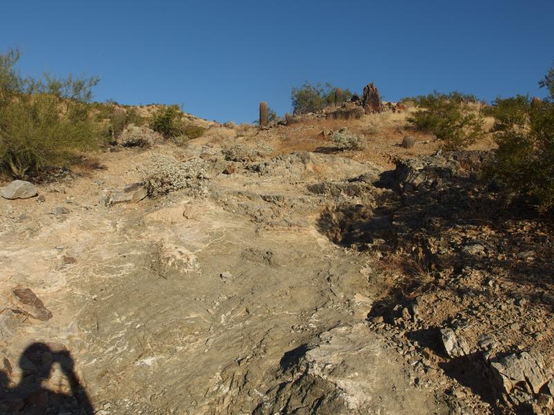
A steep, rocky section

Dry grass and a few stunted trees
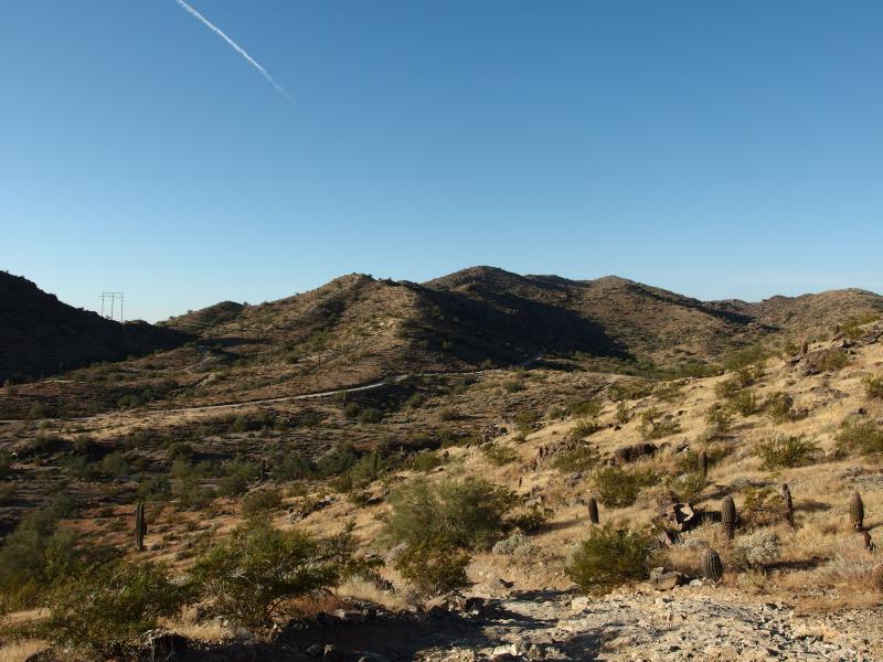
National trail winding below
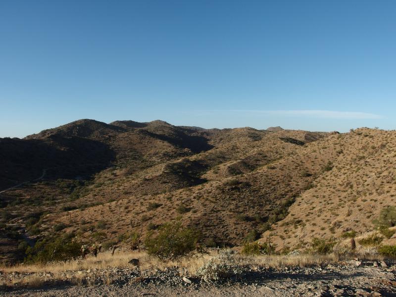
Hills and bumps stretching away to the west
Our view from the ridge was a nice change. Until now we had been stuck in the canyon, views limited to the slopes around us and a mild view back, and now things really opened up. To the north I could see some distant hills, maybe Camelback or the Phoenix Mountain Preserve, though it was hard to make out. The western view was better. Below us a wide trail snaked, the National Trail, with dozens of hikers walking and running along it. Guess Noah and I picked some of the quieter routes today.
The Ridgeline Trail heads west and north, following a ridge some 1700' high, before dropping down into a saddle where it meets Javelina. Up here there was wind. The morning hike had been cool, not warm at all, and now the picked up wind made it chilly. Noah didn't seem to happy about the cooler temperature. I tried to put his hood on him, which he promptly shrugged off. Next time I'm bringing a cap that ties.

Ridge trail along the ridgeline
We walked along the ridgeline, the narrow path sticking right to the top of it, and slowly passed a group of older women. After a brief hello and plenty of comments about how cute my son was they offered to take a quick picture, one that I gladly accepted. We tried to get Noah to smile but he was all business by now.
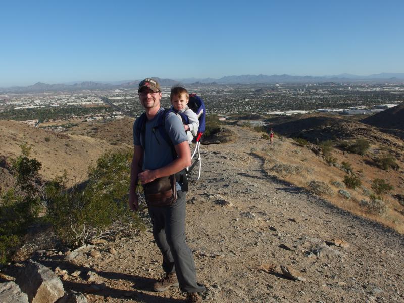
Noah and I posing on a windswept point
Thanking the kind ladies we hussled along the path. The sooner I could get us out of the wind the better, even if it mean dropping into a potentially shadowed canyon. I was pretty sure that Javelina Trail was in a steeper canyon and would be shaded until at least noon, meaning that the return hike would be a cooler walk than the one out here. Our ridge stretched on and on, bouncing between minor hills, until finally it dropped into the saddle.
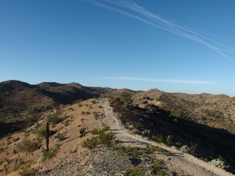
More ridge snaking ahead

Within the shaded Javelina canyon
We began to run into mountain bikers now, zipping along the narrow path at crazy speeds. Noah got into the swing of things and warned me when one came up from behind. The trail swung around, back and forth along the hillside, before spitting us out on a relatively flat and sunny desert scene. The sights of Phoenix were starting to show up again. We were getting close to the trailhead.
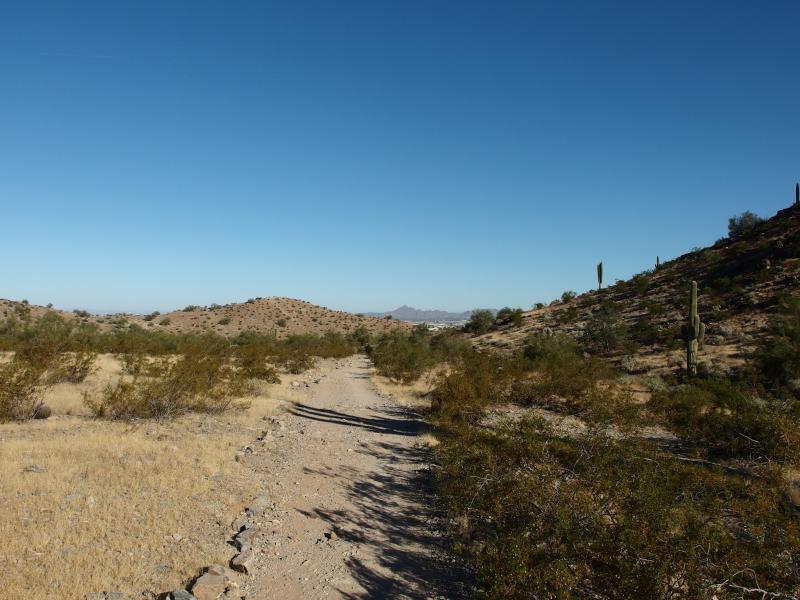
Straight section of trail

Nearby water treatment facility
After we passed by a water treatment plant off of 42nd Street a surprise sight showed up. A pair of horses trotted around the bend. I quickly bumped Noah awake, who had drifted off after we exited the canyon, and he stared in wonder. We chatted with the riders for a bit as I gently scratched the side of one of the horses, trying to convince Noah to do the same. He just stared with wild eyes at the giant animals, probably wondering if he was still sleeping. I thanked the riders and continued on.
Beyond the plant and horses the trail split and I, not sure of where to go, took the left fork. It first deposited us on a road, which was not really where I wanted to go, and then backtracking took us to a crazy loop that ventured in and out of the preserved land. I had to hoof it through a few ditches to get back on the proper trail. We had seen almost no trail markers, no signs or cairns, this entire hike, meaning that knowing the difference between an official route and an old road was left up to the hiker.
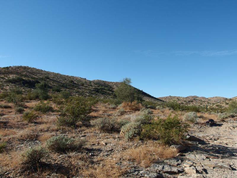
Last look at the low scrub
Soon we were back at the trailhead, which had filled up considerably during our hike, and then driving back to the house. Compared to the fun time we had at San Tan this hike was a bit of a bust. For most of the hike Noah was cold, crabby, and he fell asleep near the end. I didn't want to give up hiking this winter, with the daily highs usually around 70. Maybe we need to haul out some cool-weather gear for our desert hikes, a weird and unusual idea to entertain.


Comments (0)