Ballantine Trail to Pine Mountain
Dull blue clouds hung low overhead, making me feel oddly claustrophobic as I tromped along the quiet desert trail. A few city lights glimmered in the west, and below me the headlights of large trucks coming down AZ-87 from Payson would glare then disappear, reminding me that the world is big and that other people were nearby, yet I couldn't shake the feeling that I was alone and trapped under a too-close ceiling. I shrugged and kept moving up Ballantine Trail. The sun would be up soon enough and burn away these low clouds and their blue feelings.
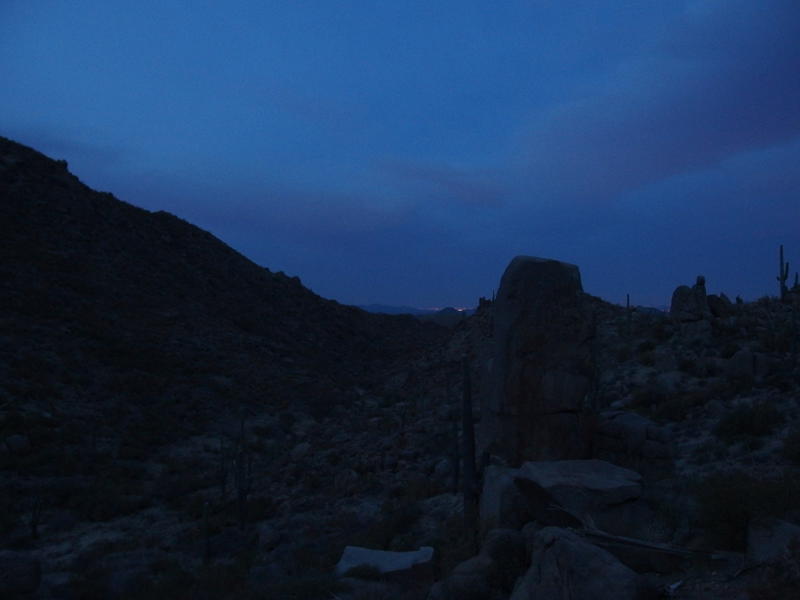
Dim, early morning light on Ballantine Trail
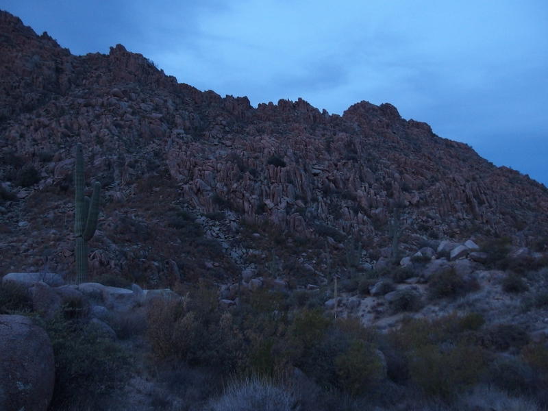
Piles and piles of boulders
Yes, I was back on Ballantine Trail. In typical stubborn fashion, I was out here to finish what I started two years ago, to hike the length of the trail and knock out a summit along the way. Last time I had attempted an overnight trip, starting in the hot afternoon with the hope to camp high up canyon and ended up burning out, so today I figured a day hike with a predawn start would work better. Knock out all the exposed desert hiking before a certain scorching star showed up. When I reached Boulder Flat a little after six in the morning, last year's turn around point, I already knew today was going to be a success.
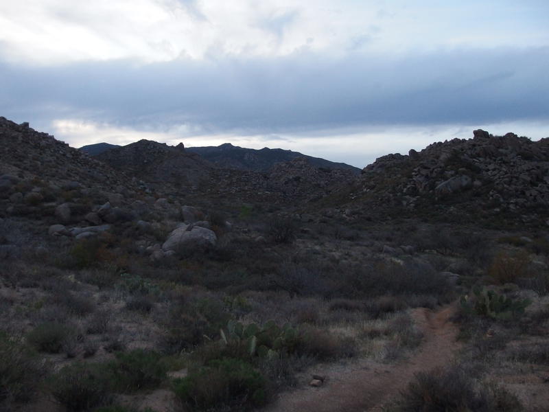
Early light on Boulder Flat
Pausing just long enough to take a victory sip of water and enjoy the dim views of the flat, I continued west on Ballantine Trail. There is a cabin to the north, along a spur, though I wasn't interested in seeing it today. Maybe next time I'm in the area. Besides, Boulder Mountain is to the north, and I'd like to climb up that thing some day, so I might as well hit up both in the same go. For today I wanted to focus the length of this trail.
The trail and flat was not familiar. I kept looking for some formation or view that would bring back memories from my hikes two years ago. Things only looked vaguely the same, like when you look at a photo of something and then see it in real life later on. When I bumped into the corral I knew that I was beyond my previous attempts and gave up trying to dig up anything. Maybe I had wiped those memories due to the failures.
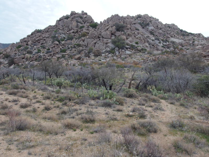
Old corral above Boulder Flat
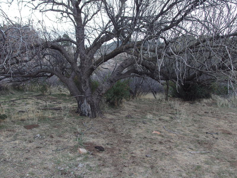
Nice campsite by the corral
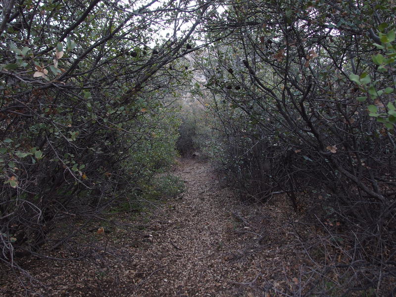
Pleasant, enclosed section of trail
Beyond the corral things began to grow thicker, brush and trees gaining height and girth as the route stayed close to the bottom of the creek, yet the going remained easy. Someone had done a lot of recent work on this thing. I ducked on occasion, mostly because I'm too dog gone tall. It was pleasant going compared to the overgrown trails of the Mazatzals.
At one point I spooked a longhorn. Not sure what it was doing out here, as I hadn't seen any fences along the way that would stop it from walking across AZ-87 below, which seemed like a fairly dangerous situation for everyone involved. Nevertheless, it was out here. When it noticed me the bull turned and started dashing up the trail. Didn't mean to scare the poor guy, but at least he cleared a wide path for me.
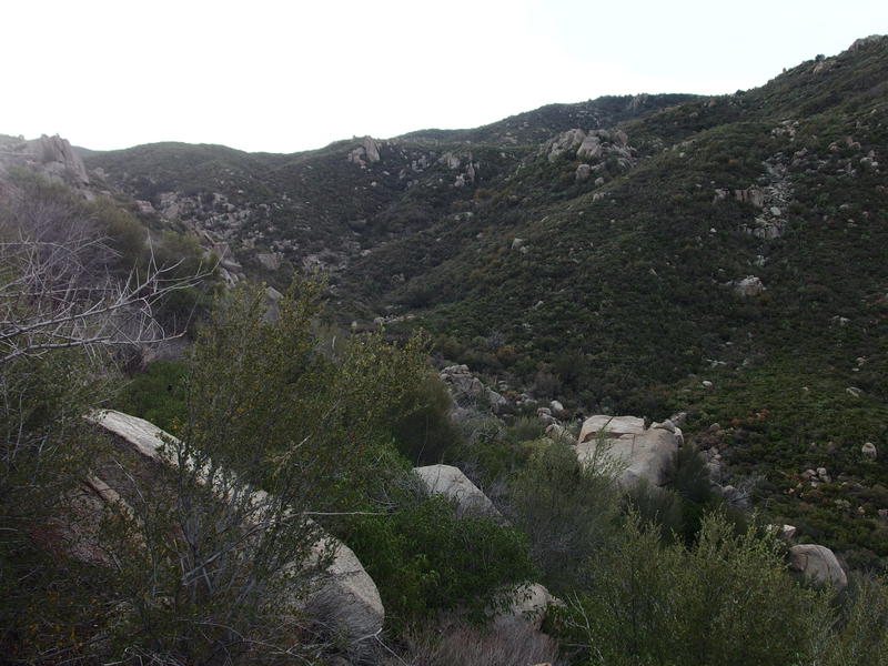
Getting close to Rock Tank
At some point the cactus growth gave way to manzanita and grass, somewhere above Boulder Flat. I missed the transition, being stuck near the brushy creek and all. Anyways, while I was wandering in some low manzanita I lost the trail. Wasn't too worried, being so close to Rock Tank, so I pushed on in the general correct direction. When the vegetation turned into catclaw I got more serious about getting back on a path and was able to hop back on, right before a shallow wash crossing and a serious section of overgrowth.
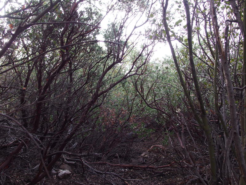
Some thick manzanita growth along the trail
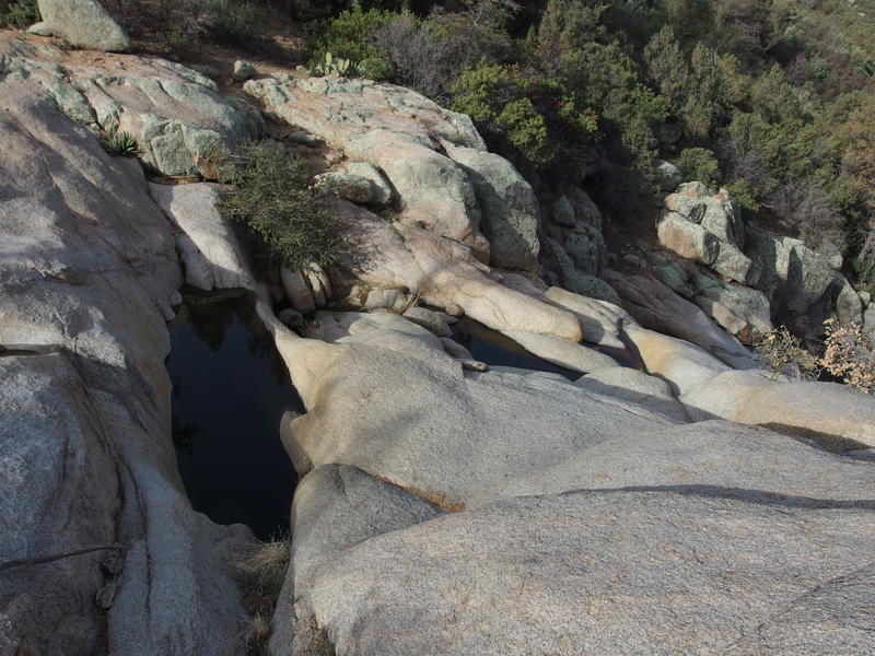
Several tanks of cool, shaded water
Knowing how close Rock Tank was I pushed hard, shouldering the tough stuff to the side, getting some good bruises and cuts along the way. It suddenly faded near an outcropping with a footpath leading down to a few deep tanks of water. This was perfect. There were spots of shade to protect from the recently wakened sun, natural seats in the smooth rock, and the tanks were filled with cool, protected water. I settled down for a solid break.
I planned my break around how much water to purify. I had three 1.5 liter containers (two for clean water, one for dirty that I can filter later) so I began drinking and refilling containers while I ate breakfast. A few birds chirped nearby as a soft breeze drifted up from the floor below. Short pines made a soft shushing noise as the air passed over the needles. Man, this would make an awesome campsite. It took a while for me to get back up and on the trail.
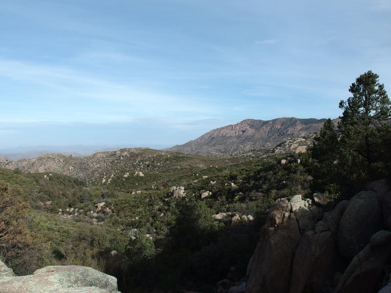
Some great views from Rock Tank
The trail south of Rock Tank was no better than before, with tall, thick manzanita forcing me to shoulder and bully my way through. Then the Ponderosas took over the landscape and suddenly I was in nirvana. Tall cairns, a well-defined footpath, and almost no brush felt like a luxury. I strolled easily along and completely missed the unmarked junction with Pine Connector Trail.
FR 422 is a short distance above, a rough dirt road that splits off of El Oso. This dirt road also happens to be a section of the Arizona Trail. Ballantine and 422 are connected with a, well, connector trail, and as I'm not sure when I'll be back in this area, I decided to check it out. It was rough going for awhile, hardly any path to track under the pines, though once it started hauling up the hillside it was easy enough to make out. Loose rock and some questionable routes made this short haul an annoying one, with a mediocre view eastwards from the Arizona Trail.
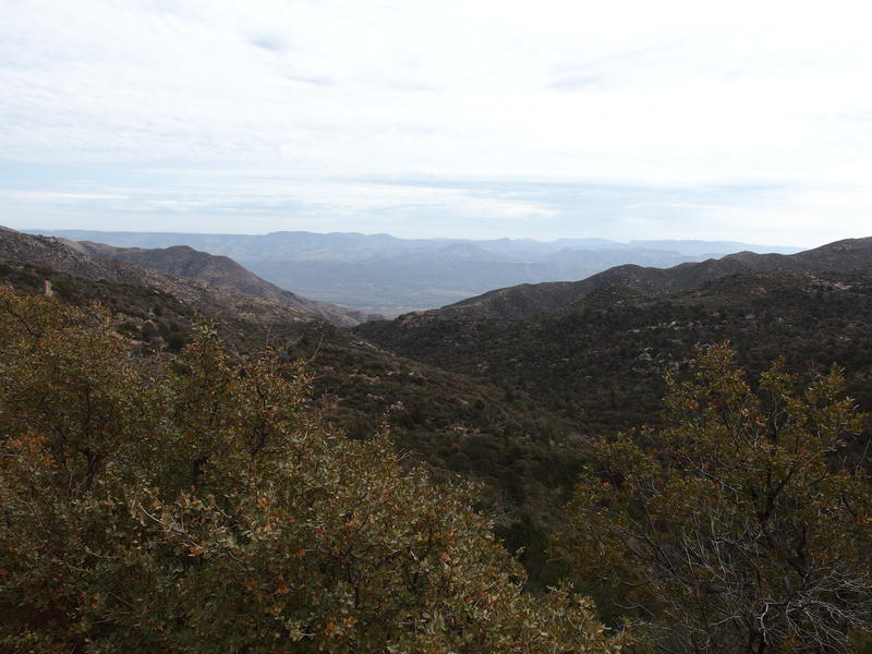
Looking east from the AZT
Wasting little time up here I turned and backtracked down to the pines, getting back on Ballantine Trail and following it south. It climbed slowly along a rocky creek, jumping from one bank to the other, never really getting that high up on either side. The few stagnant ponds along the way were not palatable. One of the crossings sprung up a steep hill, catching me by surprise and knocking the wind out of me, and I stumbled in a controlled fashion for the rest of the distance to the saddle. I had climbed over 4000' from the trailhead and my legs were starting to feel it.
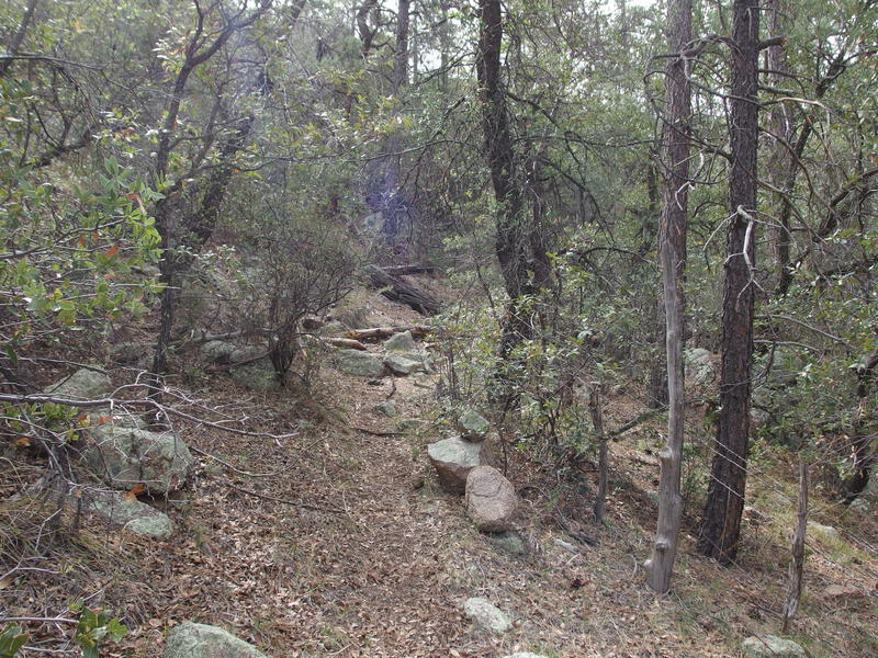
Great pine forest hiking
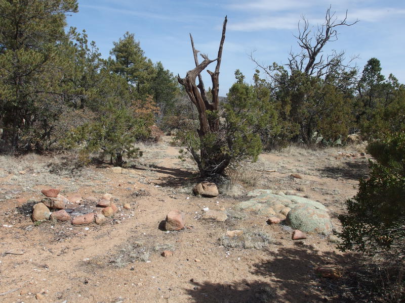
Nice campsite set up at saddle
I meandered over to the far side of the saddle and stopped for a minute, getting my bearings. Pine Mountain's summit is less than a mile to the west and it was a little tempting to leave my pack here. Then again, all sorts of bad things can happen to a dropped pack. What if I decided to come down a different route, or a curious animal found it, or I tripped and fell on my way up and needed something in an emergency? Misgivings won over my sore shoulders. I left the saddle and headed west with my pack still on.
This off-trail segment was a mix of easy strolling and hard bushwhacking. A few game paths showed up to help me out, often through open clearings, and then they'd end suddenly and leave me to scramble up a short cliff band or push through nasty brush. More and more signs of a past fire also showed up, something that had been hinting along today's hike. This must have been from the Edge Complex fire of 2005. Anyways, along the way I did find some old rock walls that may have been left from natives, which was a cool off-trail find.
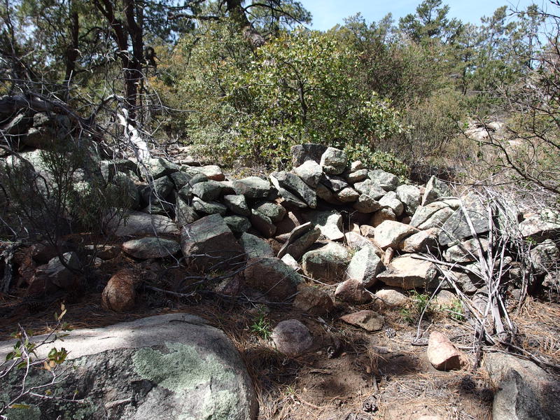
One of the rock walls near the Pine Mountain summit
Things leveled out at the summit and, if it wasn't for that fire, I think the view would have been completely blocked by trees. The recovering brush was already threatening to hide the few vistas that could be seen. After finding a few of the benchmarks on top I snapped some photos of surrounding mountains, gazing both to the north to my beloved Mazatzal Wilderness and to the southeast to the more-hated Four Peaks. I didn't waste much time looking southwest towards the smoggy valley where Phoenix lies.
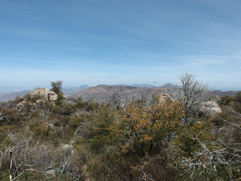
Looking north towards the Mazatzal Wilderness
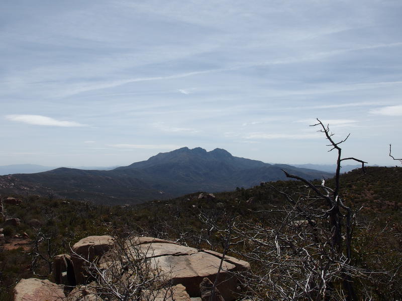
South at the Four Peaks
Descending Pine Mountain was less fun than the climb. My knee was starting to bug me and it was starting to get toasty out. Plus, I knew that it was all downhill from here, down into hotter temps and less-breezy air. For the last two hours I had been spoiled by tall pines - now I had to return to the desert.
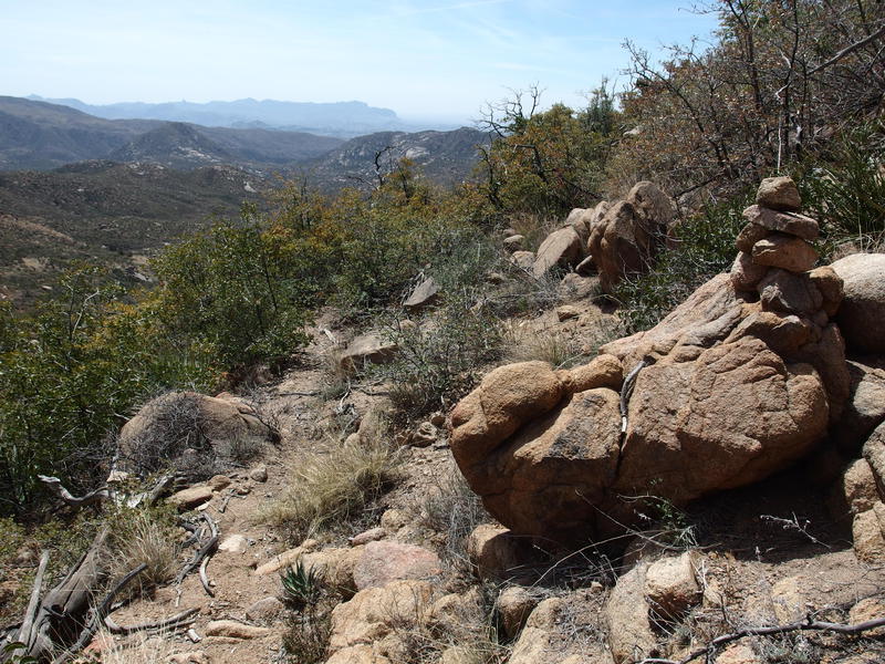
Great trail and cairns leading down to Cline Trailhead
Once I got the saddle I immediately turned and followed the trail south, down a steep slope that switched back and forth within a narrow cut. The path was easy to follow and well-marked, even nicer than the other side of the saddle, and I guess that Pine Mountain would be much easier to summit from this side. Not as scenic, perhaps, but easier. I stopped at one pleasantly shaded spot to change out socks and drink some more water, and it felt like the moment I started again the trees stopped and the exposure started. The increase in temperature was disgusting.
The steep slope lessened, gradually, and soon I was hiking through desert flatlands. Catclaw grew rampant on either side of the trail and I kept my elbows tucked tight away from the thorny branches. A trailhead of sorts showed up, a small dirt loop with no signs, and I poked around for a few minutes and found only an old cement trough and lots of garbage. Guess this is Cline Trailhead. Taking out a few snacks and checking on my water I followed the road out and started a brisk pace.
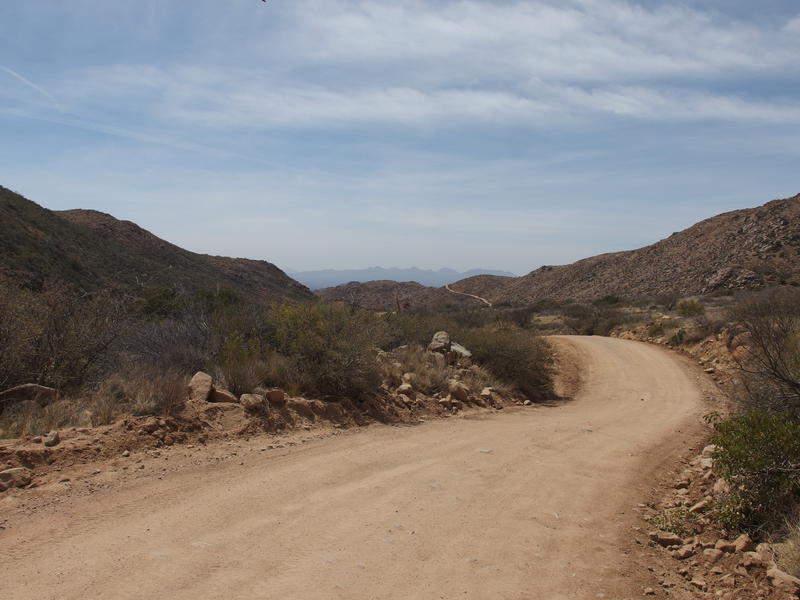
Some boring walking along FR 143
Road hiking is one of my least favorite activities. Sure, I can work up to a nice pace without worrying about overgrowth or tricky footing, and it beats bushwhacking through needles and thorns and rocks, it's just so boring. The air smells of exhaust, garbage floats around the periphery, and every vehicle that passes leaves a thick layer of dust behind. And this was FR 143, the main road up to Brown's Peak, so there was plenty of off-road vehicles to stir up dust.
An hour later and I found the spot to jump off the road, and jump off the road I did. A narrow single-track hurtled down a steep slope and I got to practice my glissading skills on a few sections. I reached the base of the slope, stumbled along for another half mile or so, and then ducked under a large boulder for a break. My legs were exhausted and the heat was draining the energy right out of me. I pulled out some water and hunted around for caffeine in my pack.
The road had taken me west quite a bit, and all I had to do was complete the circle and get back to Boulder Flat and Ballantine Trail. To complete the circle meant following a 5-mile connector, a motor-bike trail, that I had assumed was relatively flat and easy to walk. It was not. It bucked up and down hills, dived into sandy washes with reckless abandon, and was so narrow that I often had to stem over the main rut. It was the hottest part of the day and, apparently, I had saved one of the worst trails for last.
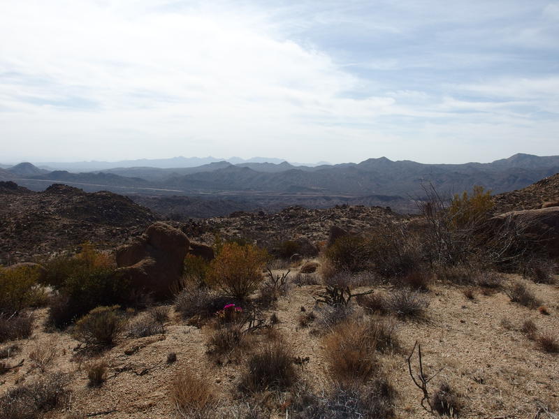
View down to the Beeline Highway from a connector trail
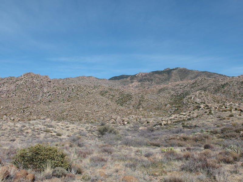
Looking back at the greenery of Pine Mountain
At least the track offered some great views. Below me was Beeline Highway, with the McDowell's making a hazy horizon, and a few leftovers from the Mazatzals sitting in between. Back east I could see the green-topped summit of Pine Mountain, teasing me. A few hours ago I was walking under Ponderosa pines and now I was trudging through hot rocks and dry desert. When I finally reached Boulder Flat I tumbled under another large boulder and finished off my water.
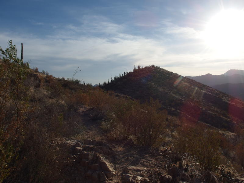
Hot afternoon glare over the last hill
At least it was all downhill from here, three familiar and well-maintained miles. My pack was basically empty, no more water and barely any food left, and the sun was low enough in the sky that I could feel the overbearing temperatures began to ease off. My knee was no longer bugging me on the downhill so I even let myself break into a loose trot when gravity pushed me to. When I reached the trailhead, 26 miles and 13 hours after leaving this morning, I allowed myself to truly recognize: I had finally hiked Ballantine Trail.


-
Jacob P Emerick
Apr 28, '21
Thanks Phil! Sounds like the Bush Fire did a lot of damage to the trail, so it may make sense to start from El Oso to reach the middle part.
Add to this discussion