Around Midnight Mesa
Sheep Bridge towered above my vehicle, steel foundation rising dimly in the starry sky, a stoic sentinel guarding passage across the Verde River and into the wilderness on the other side. I shuffled humbly underneath its watch, collecting my gear and checking everything twice, more in an effort to stall the long day hike ahead of me than concern of my readiness. The loop ahead of me was over thirty miles in length and deep in the central part of the Mazatzal Wilderness, which meant rough trails, fire damage, and low chance of seeing anyone else for help. This loop scared me.
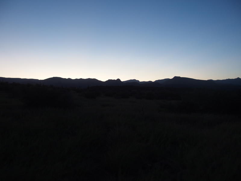
Early morning light on the Mazatzals
Over an hour later and the first hints of light began to define the magnificent ridgeline to the east. The first hour had been surprisingly tough - even though I had just walked Willow Springs Trail a few months ago, and it was a flat and well-defined tread through gentle hills, the heavy rains since had brought a thick, healthy carpet of grass that covered tread and cairns alike. As with so many of my adventures I was already falling behind schedule, due both to the rough road causing a late start and this difficult route-finding pushing me further back. With the mileage I wanted to cover today my schedule was more important than ever.
As the sky woke I pushed myself to move faster, trying to hit that elusive four-miles-an-hour pace that I somehow think is reasonable on trail. It's more reasonable on sidewalk than wilderness. Of course, as I tried to pick up the pace I almost stepped on a rattlesnake sprawled across the trail, sound asleep. He didn't wake up as I took pictures or kicked rocks towards him, only when I tried to step over him, which gave my heart a fun jump. A short distance after that I caught a glimpse of an old cement trough and, when I ventured over to check it out, a small seep under a tree. While these little discoveries were nice they did little to help my schedule.
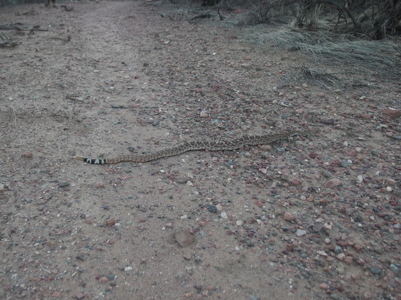
Sleepy snake on the path
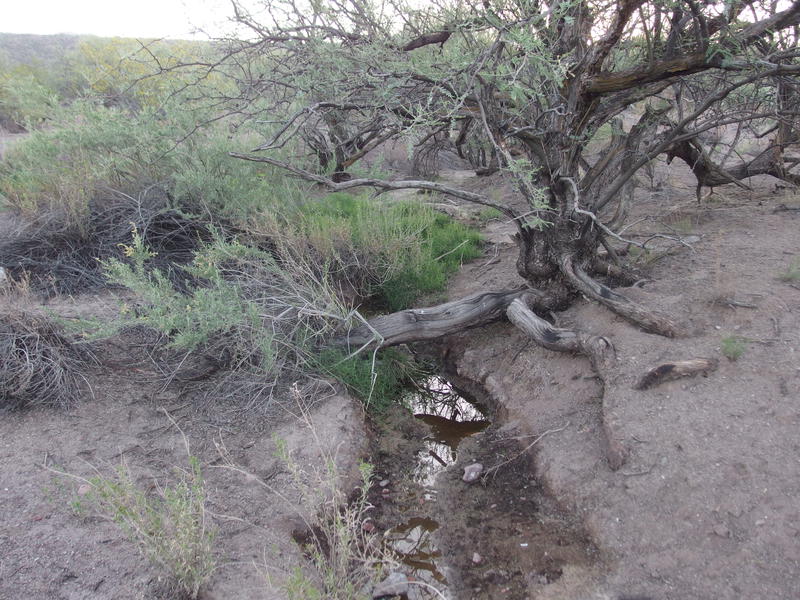
Small, unmarked seep along the route
Beyond the old trough and seep and snake my trail began to approach the foothills of the Mazatzals. I leaned in with gusto, excited to start the uphill. This loop has plenty of elevation difference along it, with most of the gain along Willow Springs Trail. Since leaving Sheep Bridge 7 miles ago I had already climbed 1400' on a very gentle incline, and now there was a steeper 1600' over the next 2.5 miles just to reach Mountain Spring, and more hills past that. The way I was approaching this loop meant that most of the uphill would happen early in the hike, early in the morning, while I had fresh legs. When the afternoon got hot I could just tumble downhill with tired legs.
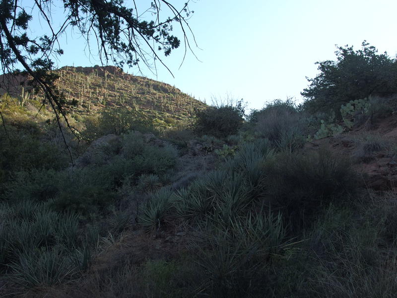
Racing the sun up the hill
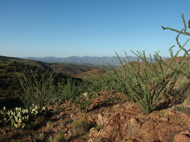
Green ocotillo, where a few months ago was only brown
Lush greenery kept surprising me along the trail. Again, I was just out here a few months ago, and everything had been brown and gray and I questioned if the dry conditions may do permanent damage to the vegetation. Apparently not. Not only were the hardy ocotillo and manzanita waking up, there was all that grass and little flowers popping up every where. There were also caterpillars, as many as a dozen per foot of trail, busily munching on the green. And gnats. Anyways, the summer rains had brought life back to the Mazatzals with a vengeance, and it a refreshing sight to see.
Finally I crested a small hill and found the humble trail junction for Willow Spring, a spur that goes down to a year-round water source along Horse Creek. I checked my time and realized that I was a solid hour and a half behind schedule. Not great. I had given myself an hour buffer to beat the sunset back to Sheep Bridge and it was already gone, plus some. Instead of swinging down to Horse Creek for fresh water (this particular spot is a wonderfully clear source) I stayed up on the main trail, sipped what I had, and decided to hold off on a refill to the much dirtier Mountain Spring above.
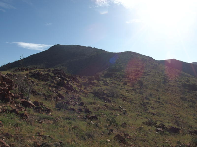
The hot, dreaded climb
That small break was not enough. The next climb was a tough one, a constant steep trudge up hill, and the early morning sun shone bright on it. Halfway up my legs began to cramp, something I haven't had to deal with in months. I try to push electrolytes and do some light pre-game dieting w/ extra bananas and such, and I guess it wasn't enough. Slowing down, I let me legs rest with each step, trying to stop them right before they clenched up.
In my legs' defense, today's long hike may not have been the best idea. Over the last three days I had been on two searches with the Mountain Rescue group, both of them overnight, and had been on full dad-duty during the daytime, meaning I had barely gotten a single night's rest over three days. That, plus a 12:30am alarm to get to the trailhead before dawn, meant my body was painfully low on rest. Was it a good idea to do this loop after a weekend like that? Probably not. I'll use that as an excuse for how this adventure would deteriorate later.
For now I hauled up the climb and eventually reached the top, swaying slightly from the sudden break from uphill. I had to take an obligatory look back down to Sheep Bridge, 9.5 miles and 3000' behind me, drinking in the big views and sense of accomplishment, doing my best to ignore the late schedule and angry legs and foreboding sense of doom. Then it was time to continue east, descending along the side of 5193' towards the source of Horse Creek, Mountain Spring itself.
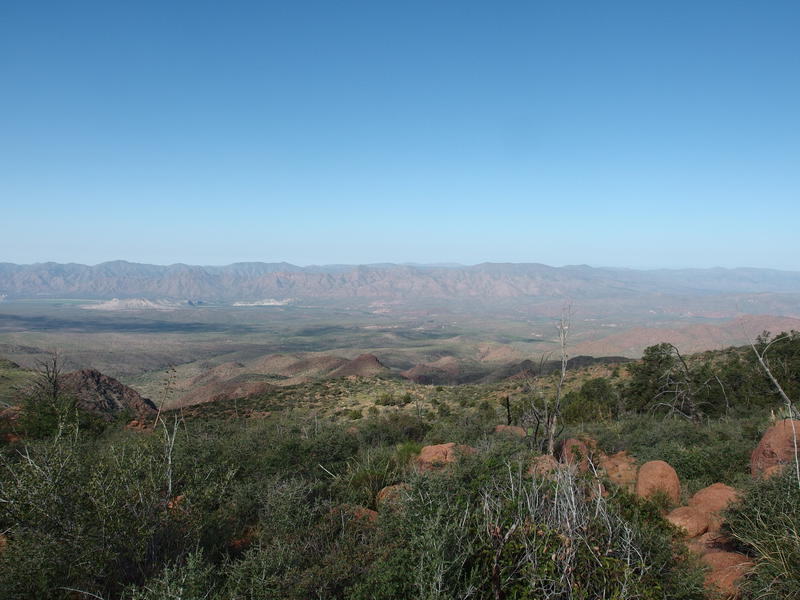
The big views back down towards Sheep Bridge
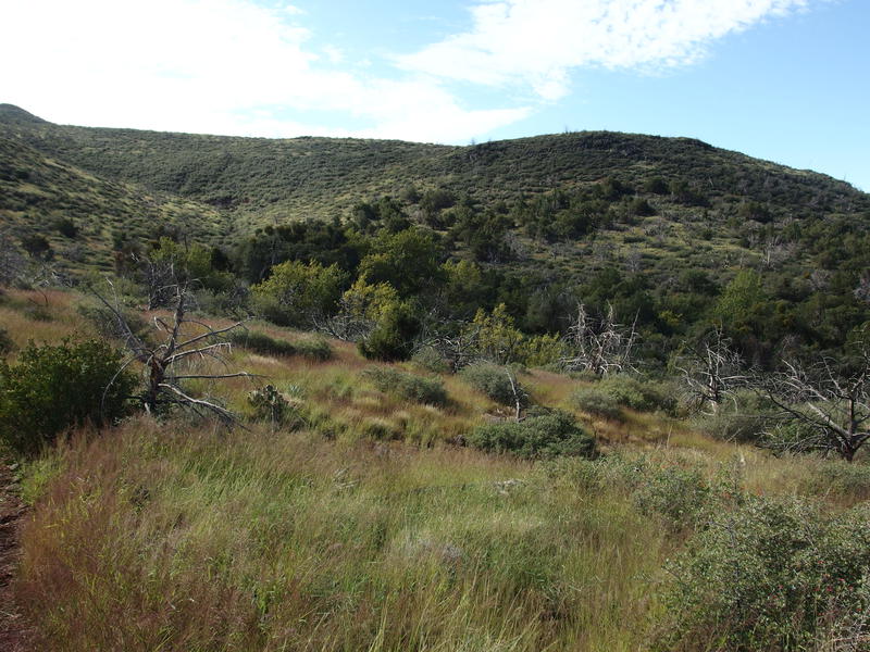
Lush colors around Mountain Spring
Watering up at the spring was as distasteful as I could have dreaded. There has to be something wrong with this source - perhaps an animal is fouling it or the pipes have a break. It was full, which was nice, and the water was clay-brown and tasted terrible. I couldn't be picky. I finished up the water in my pack and filtered three liters, quickly tossing in some electrolyte tablets to try, unsuccessfully, to cover the taste. After that and a quick sock change I was back on the trail in an effort to make up time.
The valley of Mountain Spring is a major junction for the western Mazatzals. Willow Springs cuts an east-west line, with Deadman Trail heading south to cross Deadman Creek and connect with Davenport Trail and Dutchman Grave heading north to Sycamore Creek. This is a valley, and all four trails need to climb to get out, none as much as the eastern exit on Willow Springs, where my route led next. 700' of switchbacks over a grassy slope quickly got my hamstrings cramping again and me questioning my life decisions that brought me to this point in time.
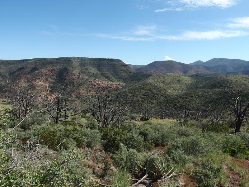
Approaching Midnight Mesa
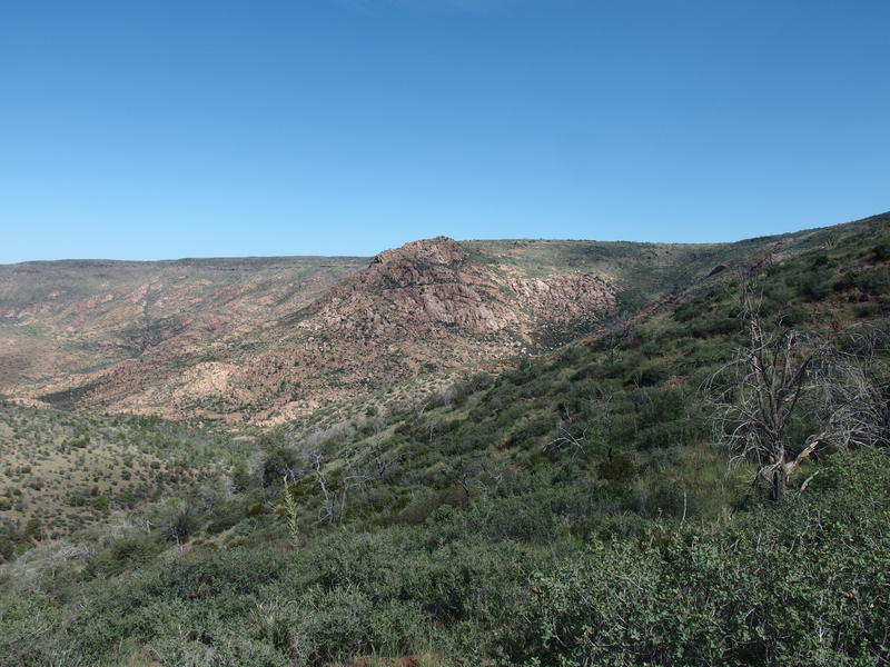
Granite Basin, a rocky outcropping next to the mesa
At least the views were nice. I broke the crest and was greeted with a grand vista of Midnight Mesa stretching to the north, complete with the bare, rocky outcropping of Granite Basin. I paused here to take it in. This was what this loop was all about, the namesake itself: Midnight Mesa Loop. This giant mesa, located in the heart of the Mazzies, has a series of trails circling it that, when connected in the right way, formed a 36 mile route that is great for backpacking and ridiculous for a day hike. I was almost done dancing along the bottom. All I had to do is hook and return on the top.
Before I got on the final approach to the mesa I had one small detour. Less than a half mile off this trail was Lost Spring, and it is connected with a spur trail that swings along the side of a hill and stays surprisingly level. It was overgrown, as expected, yet I was able to follow the tread through tall tufts of grass until the very last stretch. As I hacked my way through downed trees and manzanita I heard a loud hmph ahead and watched, stricken, as a huge elk dashed down the hill. Was this the same bull that I had found last year in this area, the one that almost stepped on me as I slumbered near Mountain Spring? Sure seemed likely.
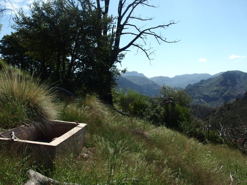
Great views at the end of Lost Spring Trail
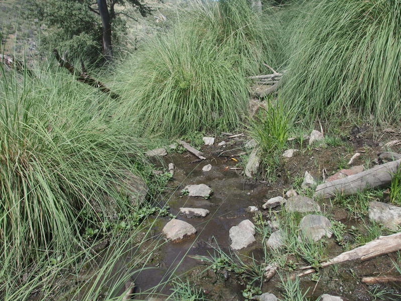
Tiny, humble seeps of water
Shaking my head at the lost opportunity to photograph my friend, I instead spent some time quickly exploring the spring, finding the dry trough and a few nearby seeps. With some knowledge and a few pipes I imagine that someone could hook up the trough and provide a decent watering spot for hikers and wildlife alike. Not sure if it's worth it, though, with Mountain Spring so close, plus the general lack of traffic out here. The views were a worthy attraction, sure, I just wager that there's less than two dozen hikers that venture this far east from Sheep Bridge each year.
I returned the way I came, hacking back through the nasty before rediscovering the tread and skipping back to Willow Springs, waving good-bye to the elk staring at me from the opposite hill. He wasn't as excited to see me, especially after I ruined his afternoon spa. Getting back on the main trail meant another climb, this one a mere 300', which, coupled with the haul from Mountain Spring and the bushwhacking along the spur trail, knocked me out. I reached the top and collapsed on a pile of uncomfortable rocks.
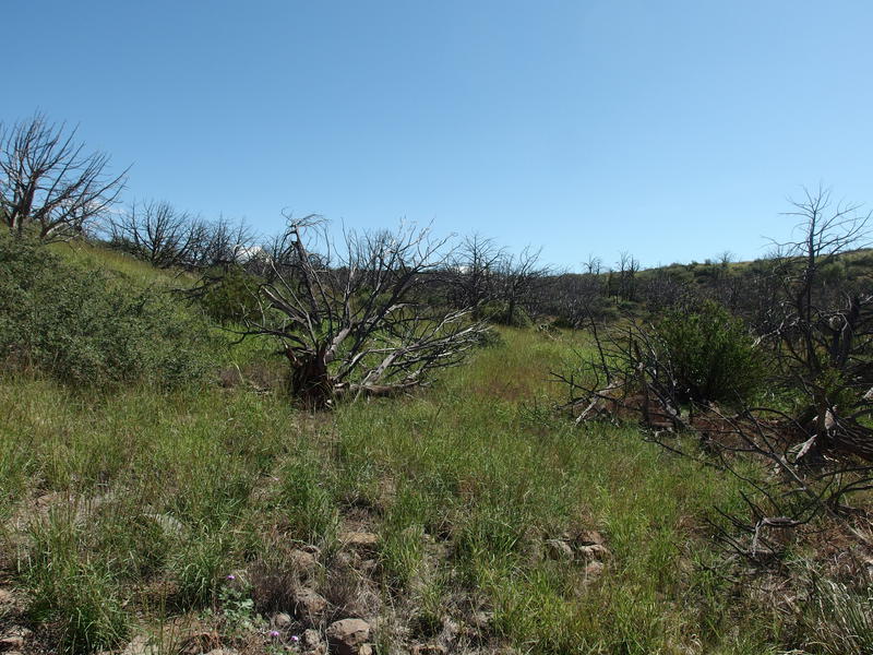
The sad, dead forest above Lost Spring junction
To the north lay Midnight Mesa, close enough to touch (well, I'd be sliding along it soon enough), and the southeast view over Deadman Creek to the Mazatzal ridgeline is always outstanding, and I had a hard time caring. I was exhausted. The heat was getting to me, my water tasted disgusting, and my legs felt terrible. A third of the way into the loop and I was drained, seriously thinking about retreating back down. So far today I had covered, what, less than a half mile of new trail to Lost Spring? Turning around would be pretty shameful.
Instead I sipped my water, eating spicy food quickly after to drown out the taste, and gazed aimlessly at the cloudy sky. Big, fluffy, towering white clouds, gathering to the north and east, the high elevations that spawn the monsoons that fall into the lower elevations, usually heading right through these mountains. I tried not to think too much about them. Once I gathered my wits I creaked back to my feet and continued on the trail, following it across a narrow connecting ridge that split the Deadman and Sycamore basins and leads up the side of Midnight Mesa.
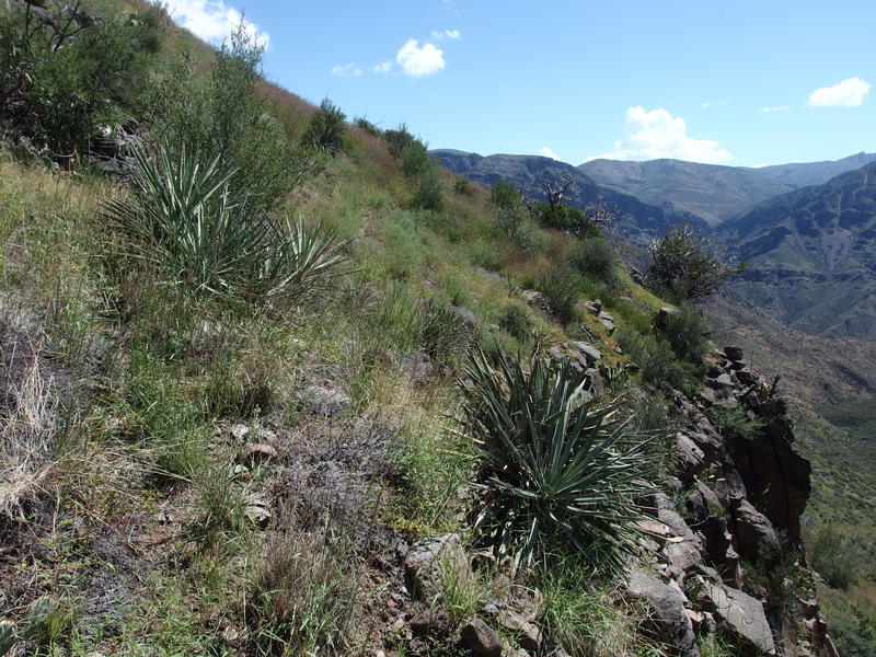
Steep drop along Midnight Mesa
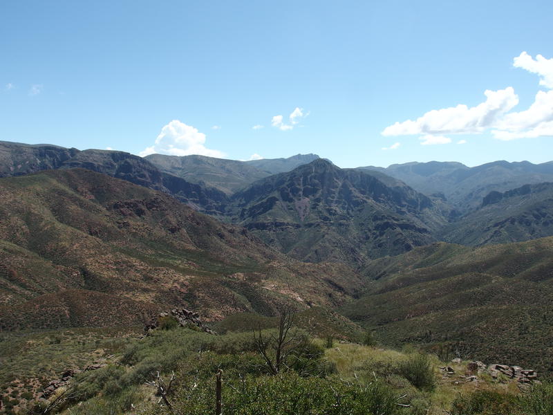
Great views down into Deadman Creek
Sliding along the side of Midnight Mesa felt just like that - it was steep, poorly defined, and dangerously exposed. I crawled a few sections. Last time I was out here I had just finished miles and miles of bushwhacking and this section felt like a relative highway, goes to show that everything is relative. Once I survived the harrowing challenge and dropped off the side I quickly found the lonely, burnt post that marks the trail junction, took one last look at the epic views to the south, and turned north towards Midnight Trail.
Midnight Trail is a short trail that basically connects Willow Springs with Red Hills, a 2.5 mile connection that crosses Wet Bottom Creek below Fuller Seep. It was new ground for me, and it didn't take me long to hate it. The tread was non-existent, cairns were spaced wide, and there was enough deadfall and brush to obscure any forward passage. I gave in to zig-zagging back and forth, hunting for signs of path, continuously cursing out my decision to push on.
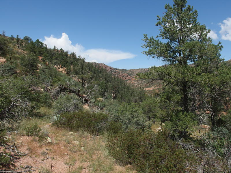
Pleasant forest along Midnight Trail
A mile in and I began to warm to the trail. Large swaths of forest were spared from the fire here, green junipers and pleasant undergrowth, and the trail began to make an appearance. Also helping was the discovery of clear, clean pools of water along a nearby tributary. I dumped out the stinky water from Mountain Spring and filled up on this new stuff, even soaking a rag for my neck and wiping some of the sweat off my face. I didn't need this extra break, not with the tight schedule and all, though when I got up to move again I felt like a new man.
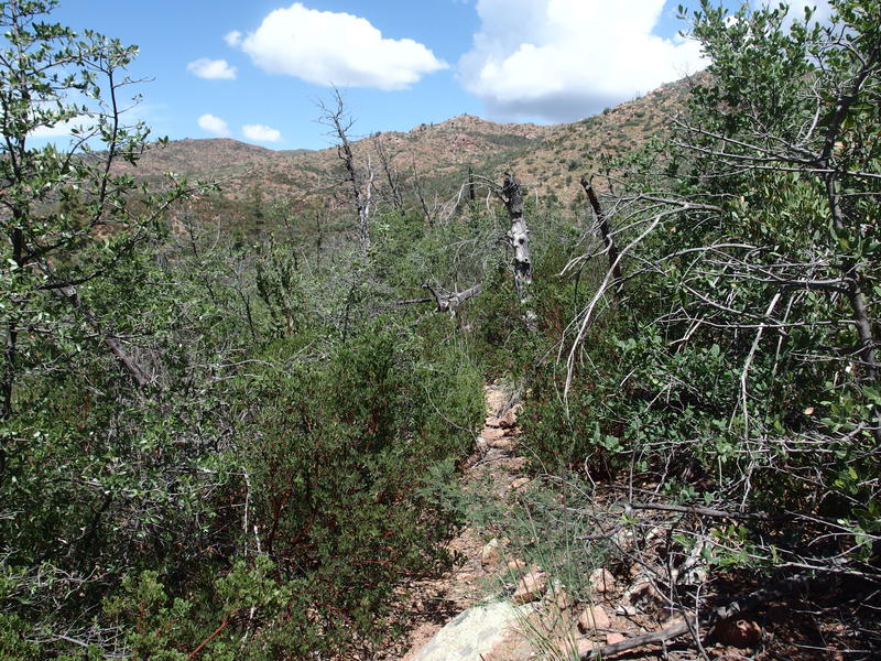
Another section of fire damaged trail
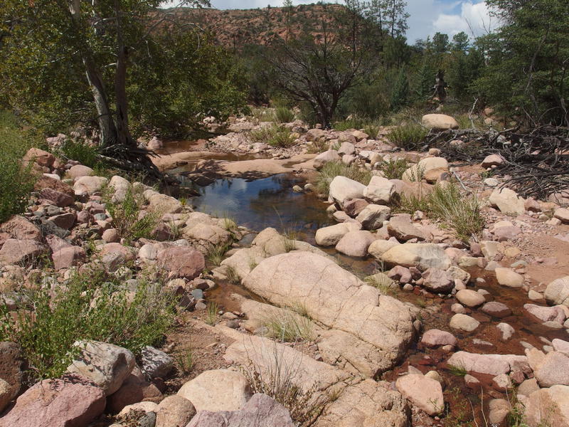
Water flowing along Wet Bottom Creek
Before I hit Wet Bottom Creek there was one nasty section, obviously damaged from the fire, more brush and charred trunk than anything, and then I burst out onto a pleasant trickling flow between red rocks. I looked over at the opposite bank and saw a wide, pleasant path, almost three feet across and obviously heavily maintained at some point in the recent past. I glanced up at the sky, seeing those fluffy white clouds had began to darken underneath, slowly spoiling with rumbling threats, and I felt my hamstrings tighten with the thought of the 600' climb that still remained along this trail alone. Well, maybe after that, the Red Hills Trail would be easy? (It wasn't).


Comments (0)