Across the Mazatzals: Willow Springs Bushwhack
Waking up and leaving Horse Camp Seep proved more difficult than planned. I slept in past my alarm, filtering water up to full capacity took a long time, and then I had to repack my gear twice to get everything sitting comfortably on my back. The sun was an hour up in the sky by the time I left camp, a few rays spilling over the protective ridgeline onto my trail. Not the best way to start the day, though I still felt comfortable with how well yesterday's hike had positioned me on this loop.
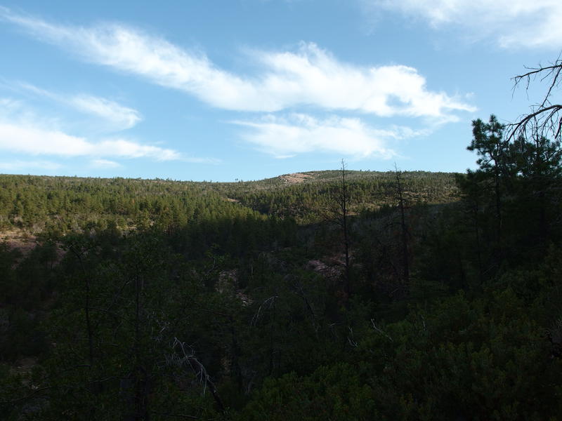
Rocky ridge to climb, so close yet so far
Today I had to go west. Well, first the Mazatzal Divide Trail would take me south, over a ridge and down to The Park, and then Willow Spring Trail west to Mountain Spring. All together it was only twelve miles, four of them over easy trail, so if things were going well I could always push beyond Mountain Spring. I didn't expect things to go well. Willow Spring Trail is rumored to be horribly overgrown and washed out.
At least I could start the day on an easy trail. Mazatzal Divide climbed slowly, crossing a few drainages before finally dropping over the uppermost tributary of North Fork Deadman Creek, and then a steady grade brought me up the partially shaded ridge. This ridge leads right over to North Peak and, if someone was up to it, could offer a relatively easy summit. I wasn't headed that way today. Instead I stayed on the trail and enjoyed the epic views south, north, and west, the last of which provided a good overview of the second trail of the day.
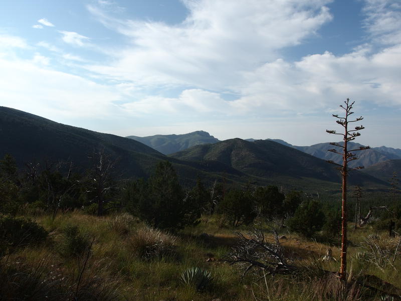
Mazatzal Peak from the ridge
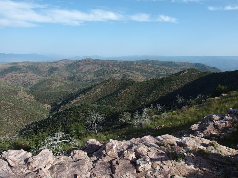
Looking down over the northern Mazatzals
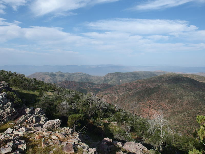
Rugged western hills and mesas
It seemed simple from here. Follow the edge of a slope, climb the side of that red-hued hill (Peak 6351'), drop down the southern flank, then follow a tributary of Wet Bottom Creek to Midnight Mesa (a flat, green thing from here), dance along the side, then play on the hills to the left to Mountain Spring. Those last hills were a bit hazy from here. The biggest catch was water, as there were no dependable springs between The Park and that spring, but that was a problem for future Jacob. Oh, and the good chance that the trail would be shit.
For now I had to drop a thousand feet on a well-maintained path. It was easy going, all smooth grade without any loose stuff to play with, and I trotted with a quick step. Much of the way was shaded from the sun's angle and the thick vegetation kept the air cool. I reached the base of the ridge feeling pretty darn good and decided to not refill at Pete's Pond, a short off-trail jaunt away. Instead I changed my socks, sipped some water, and ate a bar before girding my loins and beginning the hunt for Willow Spring Trail.
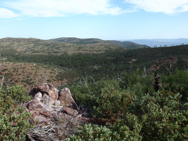
Getting closer to The Park
Nothing marked the beginning of the trail, no cairn or post or burnt trail sign. So I picked a break in the manzanita and headed in, weaving a disjointed path. Some areas weren't bad and some areas were. Like, there were no game trails or anything, it was just that the brush grew in clumps and offered some clearings to utilize in the general direction I was headed.
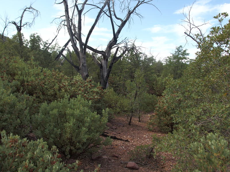
A small break along Willow Springs Trail
Three things made this section of trail hellish. The first was when the clearings closed up and I was forced to push, hack, and crawl through dry brush that often towered above my head. This brush was so woody and thick that it jabbed and tore into me without even playing around with the usual thorny scratches that Arizona has made me used to. Second was the rocky drainages that cut across my route, carving deep obstacles of loose rock that rolled and tumbled underneath me. Third was the slope, which got to be real nasty for some sections. I was basically walking underneath that ridge that I had just descended, following the base of it before it ended along Wet Bottom Creek, and every once in a while would sharpen and force me to swing from one clump of brush to the next to stay upright.
One thing that wasn't that annoying was the deadfall. It was there, sure, just wasn't as tough to navigate as the thick brush. With a good pair of snips and a better sense of direction than I possess one could probably make a halfway decent trail through this stuff. Not sure if it would be worth it, though. This route makes for decent backpacking loops and Mazatzal traverses, neither of which is that popular these days. Perhaps the forest service will just let this trail disappear off the maps.
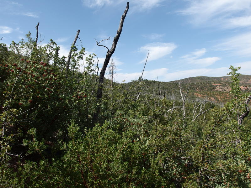
A less pleasant section of trail
I was just over halfway through this thick stuff when I got whacked hard across the face by an angry branch. Luckily my nose, and not my glasses, got the brunt of it, and blood began to pour down my face. Hate bloody noses. I pushed on a short distance to flat clearing before laying down and trying to stop it. Took close to twenty minutes and several napkins from last night's sandwich to stem the flow, and even then I'd be nursing it for the rest of the day. Plus my good cotton shirt had all sorts of bloodstains that would take a small miracle to remove.
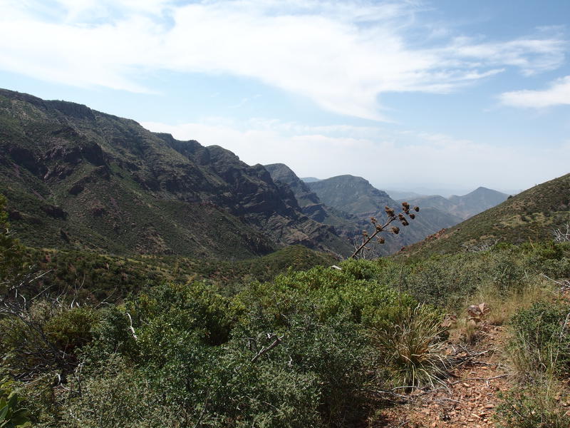
Looking down Maverick Basin
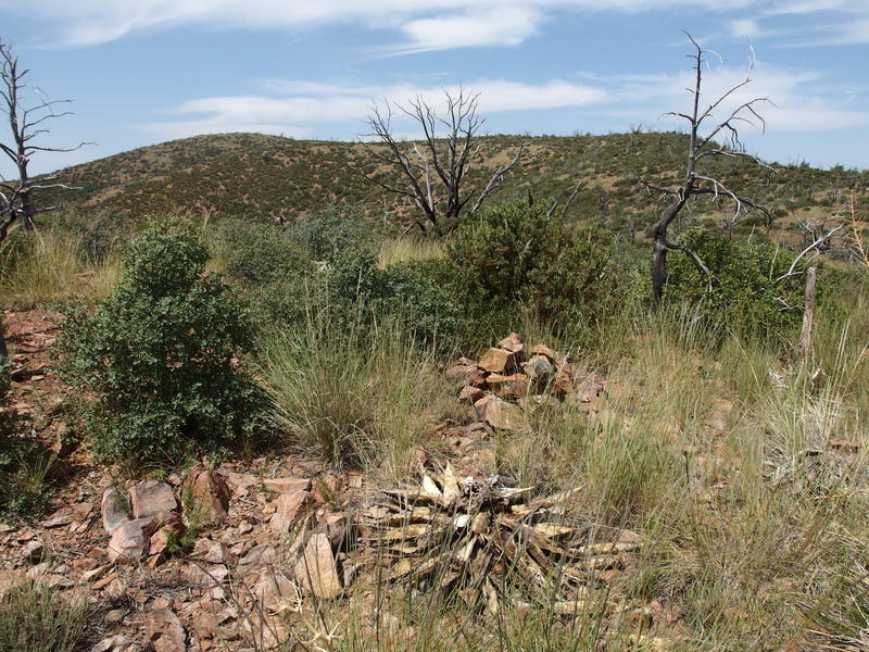
A sign of a trail long forgotten
It was well after ten in the morning when I broke free from the thick stuff and got my first good look down into Maverick Basin. See, this trail follows the base of a ridge, but at one point a tiny drainage cuts down in between to form Maverick Basin and eventually swells to the main fork of Deadman Creek. So this trail goes from following the base of a ridge to dancing in between Deadman and Wet Bottom Creek, giving good views to either side. And those views to south were especially good.
My trail suddenly got better here, too. A cairn showed up, as did a faint trail, and the tall brush gave way to grasslands. The trail and cairns were not enough to follow reliable, just enough to guide me in the general direction for a few dozen yards and then leave me guessing for the next hint. For the next mile or so I continued on a ridge that slowly led me over to Peak 6351', that red-hued hill I spied earlier in the morning, and then slowly tracked a route that danced just below its summit.
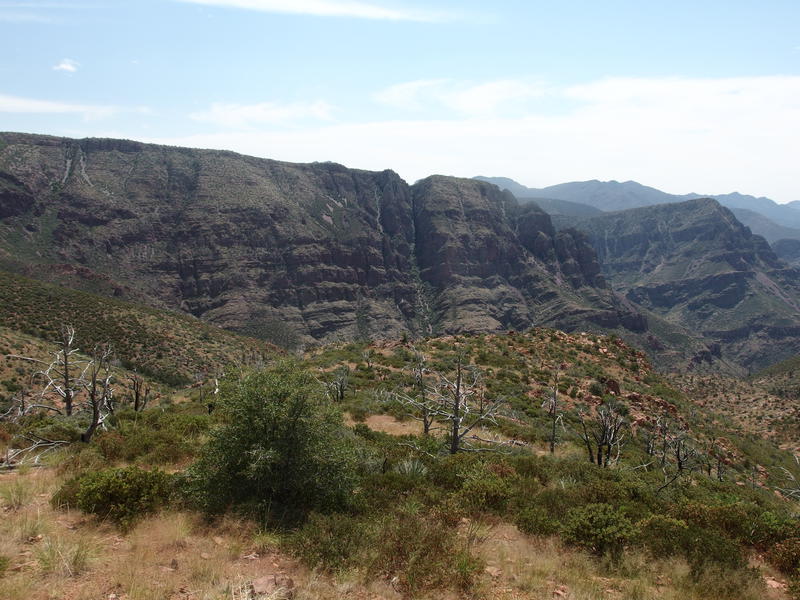
The beautiful, rugged side of Deadman Creek
Things weren't feeling that great here. Like, I was feeling mildly optimistic that the worst was behind me by now, and that the going would only get better. However, it was now getting close to noon, and the deep gouges and scratches from Sandy Saddle and Willow Spring hurt. Plus my nose hurt, and I was hiking in full sun, and I couldn't keep on a steady trail or pace for more than a few steps at a time. Suppose I could keep piling on the complaints all day long, or I could just deal with it. I pushed on without paused and found a wonderful section of trail that dropped down off the hill towards Wet Bottom Creek.
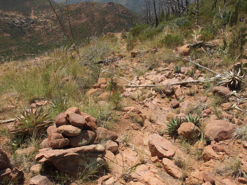
Surprisingly good section of trail leading down the steep hillside
This trail did confuse me, as it seemed to follow the general switchback that the topo maps showed, though the one trail description I found talked about the path cutting straight up without any bends. Eh, this was definitely a good way to go. I followed it for awhile, then lost it, and then followed a steep drainage instead. Supposedly this drainage would cut across the zig-zag trail at least twice though I never tracked it. I reached the bottom of a sandy creekbed and debated my options.
Here the route crosses and goes up the opposite bank and follows that downstream. However, I wasn't able to find any sign of it, and from here that opposite bank was covered with nasty manzanita and burnt trees. It didn't look like fun. Plus I was running low on water and there was no guaranteed source for many miles. So instead of being a good little hiker I stuck to the sandy creekbed and followed it downstream, luckily finding a few small pools of water to replenish from.
It was past time for lunch too, so I broke out some tuna and crackers and relaxed a little. My water filter seems to be rather slow, either because my water bags are 1.5 liters (I bumped up the size a bit) or because that's how Sawyer Minis are, so I made sure that my gravity setup was constantly going as I rested, trying to maximize the amount of water I could pull out. I ended up drinking close to a gallon here and also pulled back to full capacity. As I packed out and started out I startled an elk on the north bank, the first elk I've seen in the Mazatzals, and got one quick un-zoomed photo before he hid behind a large group of bushes.
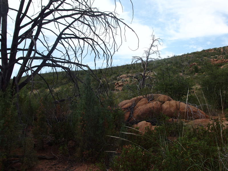
Startled elk from Wet Bottom Creek
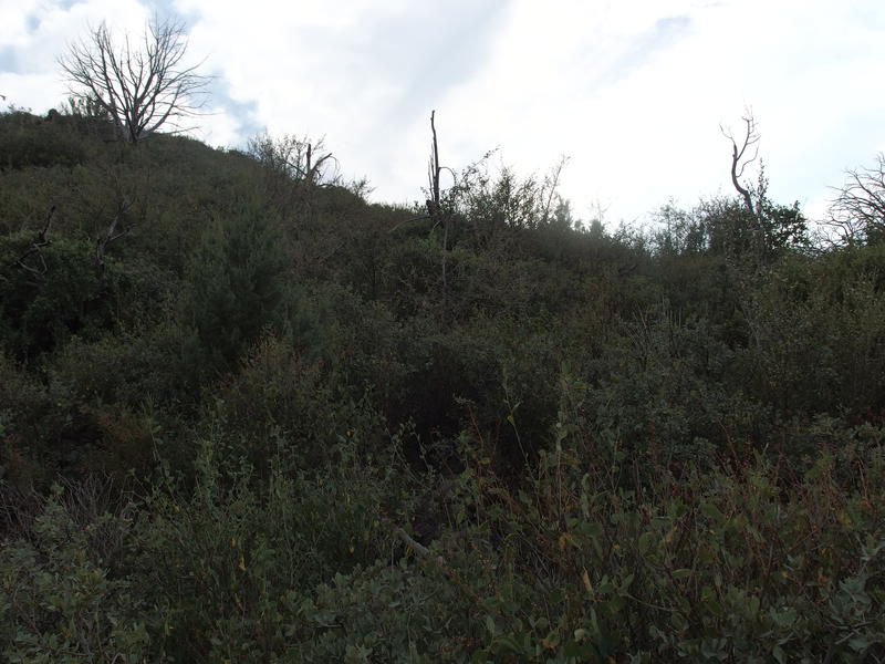
Even more thick bushwhacking above the creek
Unfortunately, it was now time to get back on the trail. This creek would continue to drop and curve away from my route, so I couldn't just keep to the easy way. I hacked through some thick growth, mostly catclaw with some manzanita, and then found a mixture of maybe-trail and game paths that followed a shallow ridge in the right direction. The bonus was the view, as I was now far enough west to get a good view over to the junction of South Fork Deadman Creek.
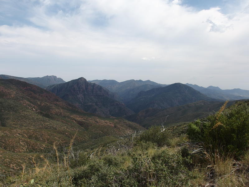
The junction of several Deadman Creek forks
My path faded in and out of view, sometimes easy and often thorny, and at one point a large cluster of catclaw ripped my pant leg wide open. Might as well have brought shorts at this point. My right shin got full brunt of the thorny desert vegetation and was soon running red with multiple cuts. I took to leaning slightly forward with my left side and pushing some of the worst stuff to the side with my poles to ease passage. All fun and games in the Mazatzals.
The junction with Midnight Mesa Trail was marked by a single, lonely trailpost, no sign or marking remaining. I couldn't care less. There is a thirty-mile route that is relatively popular called the Midnight Mesa loop that comes up from Sheep Bridge, circles around on these trails, and then descends down the remainder of Willow Spring Trail. Finally, I was on a path that someone else had followed in the last year. Doesn't mean it was all easy - I did manage to lose trail a few yards later and had to force my way up a hillside of manzanita - but when I did find a reliable tread on top I was able to follow it for hundreds of yards without a problem.
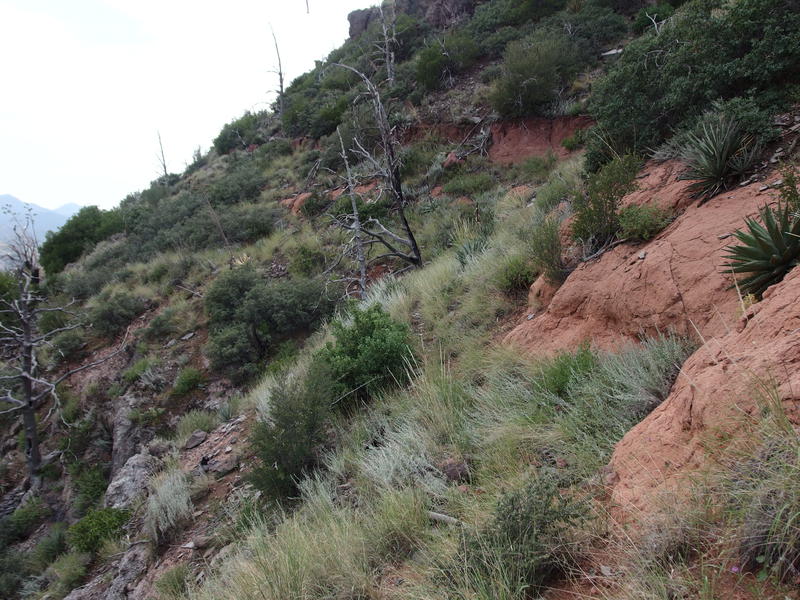
Fantastic section of trail along Midnight Mesa
Dancing along Midnight Mesa was a treat. The drop was steep yet easy to navigate, and the views down over Deadman Creek and up to Mazatzal Peak were amazing. If anything it was too short, though when I did drop down the other side I entered an old, burnt forest that was pretty in its own way. Tall cairns towered above the grass and gave me easy markers to aim for. Things were mostly downhill and I trotted right along. If I could get to camp with a few hours of daylight then I think a little bath-celebration may be in order.
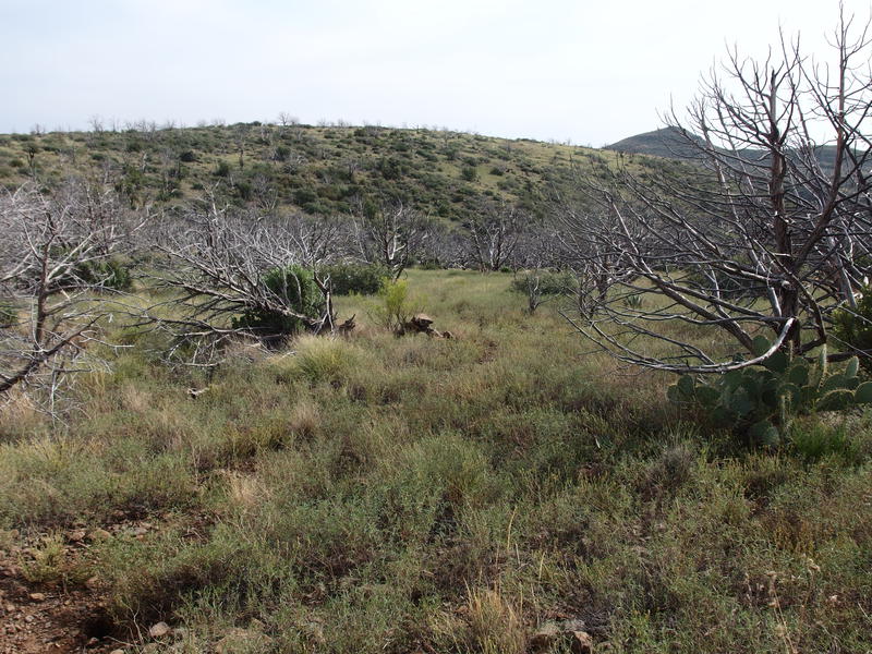
Sad, old forest along the trail
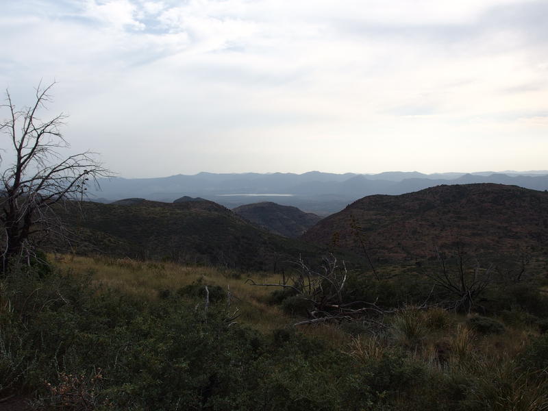
Distant, glimmering Horseshoe Reservoir
Beyond the burnt forest there was only two things of note. The first was the short, signed spur trail to Lost Springs. I had planned on bagging this, as it is only a short thing less than a half mile long, and decided to pass. My mind was only focused on getting to camp by now. Second was the surprising drop right before Midnight Spring, a steep hillside of switchbacks with a few helpful cairns. Didn't expect to a 500' drop so late in the day, that's all.
Overgrown branches hung low over the path to Mountain Spring, and then a dry rocky wash and corral showed up under huge, old trees. It took me a minute to find the trough that was filled with green-hued water that looked strangely appetizing. Satisfied, I quickly got my gravity setup filtering out water, camp set up (ground tonight, there were no workable trees within the corral for hammock), and a quick rinse-bath. I did dress a few of my nastier wounds from the day's hike, too, using camphor oil to clean them out. Feeling much better I settled down for a hot dinner and watched a tarantula wasp drag her prize back to a nearby nest.
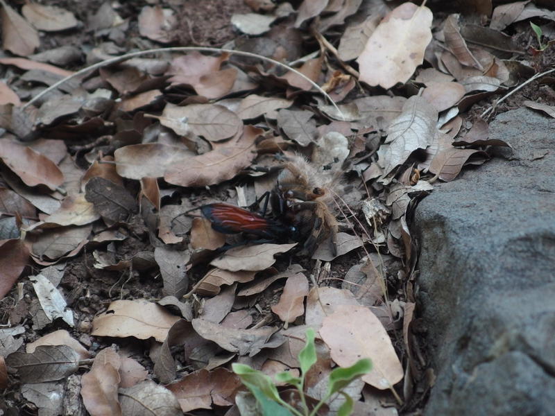
Tarantula hawk and prize
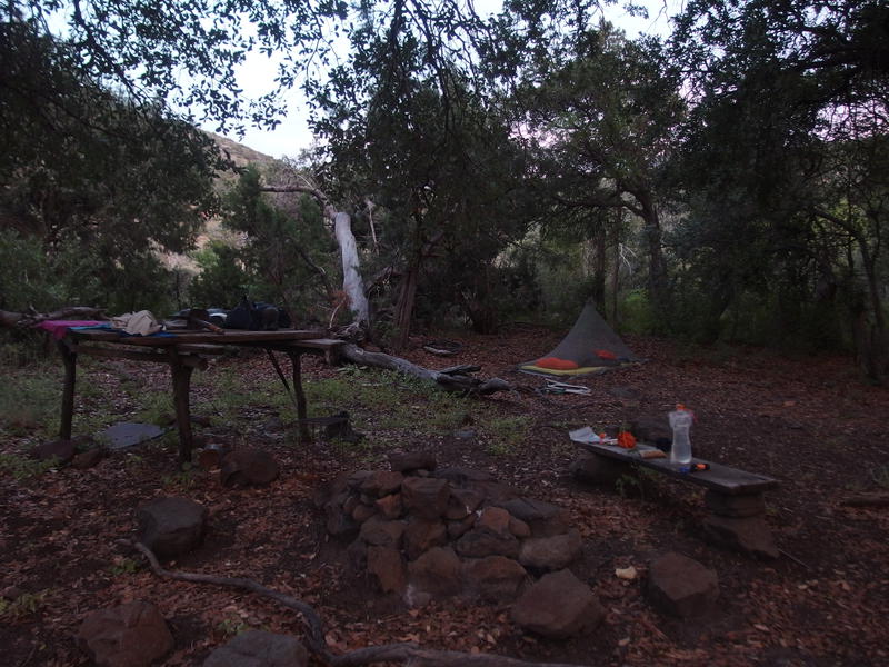
Humble camp at Mountain Spring
I got settled into my sleeping bag soon after the sunset and read a few chapters before drifting off to sleep. There were a few rodents scurrying around in the leaves, possibly coatis or something similar, that woke me a few times. Around ten I heard something much larger and startled up to see that same elk from earlier in the day, complete with its huge rack, staring down at my humble camp. I did not come out here to get stepped on by an elk. Terrified I leaped up and shouted, chasing the startled animal away, before making a loop of my little corral and securing all the gates. I was locked in with the water source now, feeling only slightly more safe, and settled in a restless sleep to the sounds of annoyed bugling.


Comments (0)