Across the Mazatzals: Over Sandy Saddle
Thunder rolled down from the heights of the Mazatzal Mountains, dire warnings issued from dull clouds that swam around the towering peaks. With an anxious eye I tried to decide if I should head up Barnhardt Trail today or not. This trailhead was empty and I could just car camp, wait for an early start tomorrow, and then try to make up the missed distance over the next few days. Or I could throw caution aside and stick to the plan. Decisions are hard.
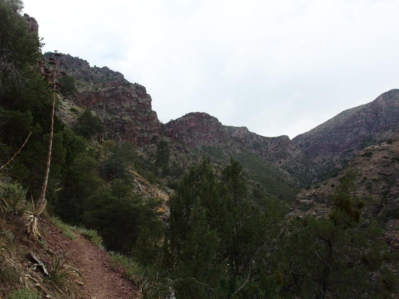
Cloudy skies over Barnhardt
I was about to head out on a four-day backpack through the Mazatzal Wilderness and I had plenty to worry about without stormy skies. Most of the trails I would be on were unexplored and rumored to be terribly overgrown. The distance and elevation difference were extreme, even by my ambitious standards set this year. High temperatures and lack of water would be an issue, as these lands had not seen a lot of monsoon activity this year, and the forecasts were still close to a hundred. If it wasn't for the Labor Day holiday I'd delay something like this for a better window, but I couldn't pass up a long weekend, so here I was. I shouldered my pack and headed uphill on Barnhardt Trail, deciding not to let a little thunder delay my adventure.
Today's distance was key to the success of the total trip. If I could get through four easy miles of Barnhardt and three tough miles on Sandy Saddle then I could spend the night at Horse Camp Seep and have an easy start tomorrow. However, if I couldn't make it to the seep, then my whole plan fall apart. Maybe do the loop in reverse and try to make it to Club Cabin or Sheep Creek tomorrow? That probably wouldn't work, as I'd be putting a lot of faith in my ability to cover a ton of miles on that final day. No, I had to tackle these trails today.
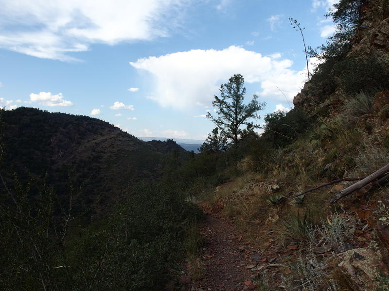
Pleasant section of Barnhardt Trail
This was my first time climbing up Barnhardt in the daylight. I like this trail. It's well-maintained without being annoyingly cleared, the views across the canyon and out towards Payson are phenomenal, and it climbs at a good clip. The entire trail gains over two thousand feet, though today I wasn't going quite that high before veering off at the Sandy Saddle junction. My first mile was a gentle climb along the bank of Barnhardt Canyon, second mile had a lot of switchbacks, third mile passed a few waterfalls and was rocky, and then the fourth mile was a long haul around a large ridge. I passed one group of a dozen backpackers near one of the waterfalls and the rest of the trail passed by in solitude.
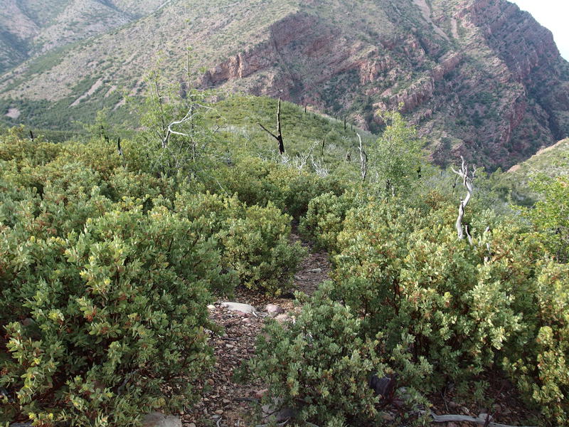
Start of Sandy Saddle Trail
When I reached the unmarked junction with Sandy Saddle I paused briefly, trying to work up the nerve to push on. This trail was not a total unknown, like some of the sections of my loop, though every hiker that had traveled this way warned of the thick overgrowth and faded tread. And here I stood, less than two hours of daylight left in the day, a relatively heavy pack and a mediocre GPS device in hand, hoping to knock it out in quick fashion. Well, it couldn't be worse than Fisher Trail, I suppose.
Sandy Saddle Trail descends from the ridge in a slow way, slinking down along a manzanita-choked slope, before crossing a wash at Castersen Seep. Then it hops over a short ridge, finds another wash, and follows that one up a few hundred yards. Then the trail climbs eight hundred feet to Sandy Saddle itself before dropping down to the Mazatzal Divide Trail on the other side. None of this sounded like fun, less so in the fading afternoon light. At least that booming thunderstorm from earlier had drifted away to the west by now.
The drop down to Castersen was wretched. For a while it was a narrow footpath, easy to make out in the young manzanita, and then that was swallowed up and I had to push my way through the thick, stubborn brush. At one point it dropped down to a rocky drainage and I gave in and tumbled down it, finding a single cairn in there and using the drainage as a trail. Castersen Seep was barely worth a mention, a few skunky rock tanks and no flat area to cast a tent that I could see. That group of backpackers back at the waterfall were planning on spending the night here - think they'd be better off continuing up to Chilson instead.
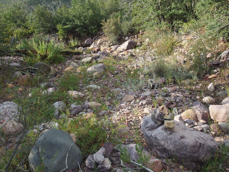
Dry dirt at Castersen Seep
Hopping over the ridge was more annoyance, as I could only trace a trail about half the time. I'd find a few cairns or a good tread and then lose it a few minutes later, continuously burning time hunting and poking around in the brush. It is a hard balance to strike: if I can find a good path then I can move fast on it, but if I spend too much time looking then it's not worth it. Eventually I dropped down into the second wash, followed that up, and then was faced with that awesome climb.
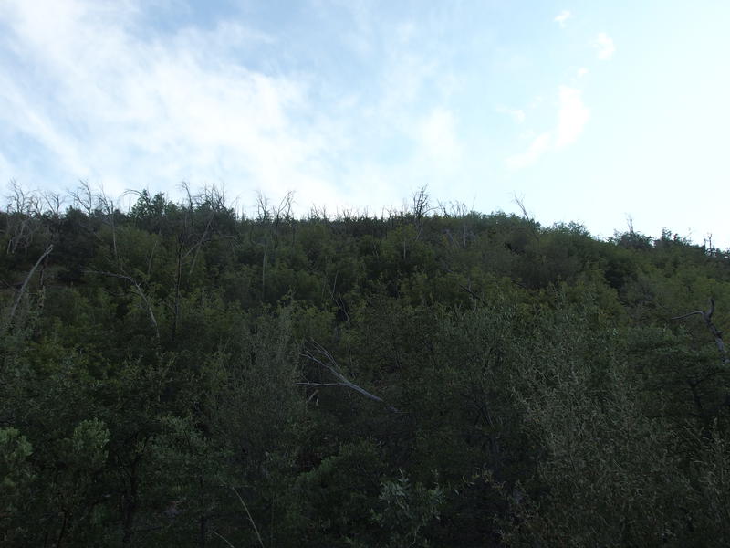
A tough, overgrown climb up to Sandy Saddle
Hauling up that manzanita-covered hillside was just the worst. There was a trail that I found sometimes, more often not, and the brush scratched and pulled at me with every step. I had made the mistake of wearing a sleeveless shirt today and was soon covered with deep scratches and blood, a few deep enough to run down my arms and mix with the sweat dripping off of me. As I pushed up the loose dirt the daylight began to dim around me and a beautiful yet unwanted pink/gray color filled the eastern sky. I was going to be stuck bushwhacking up this damn hill in the dark if I couldn't crest the saddle soon.
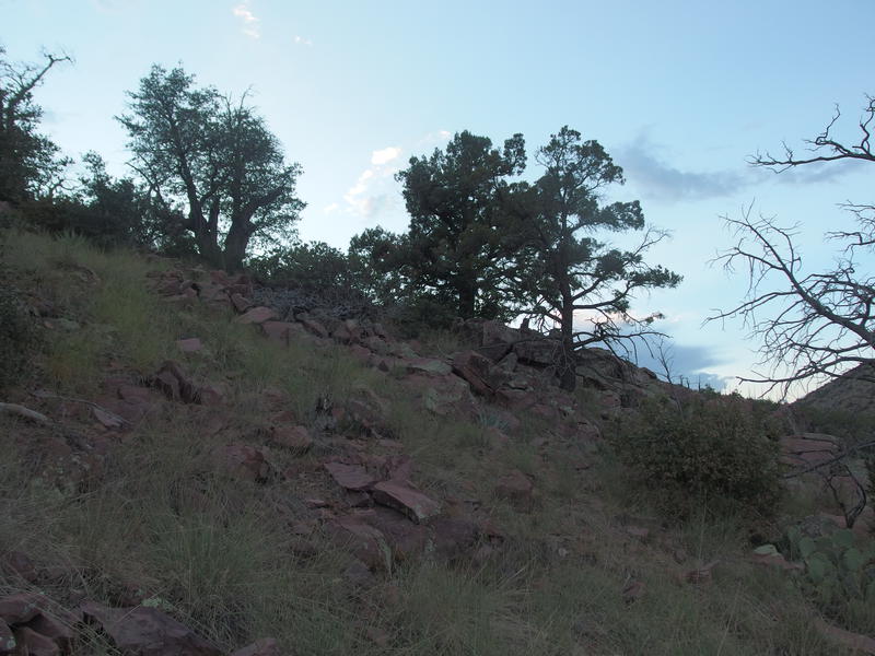
Almost to the saddle
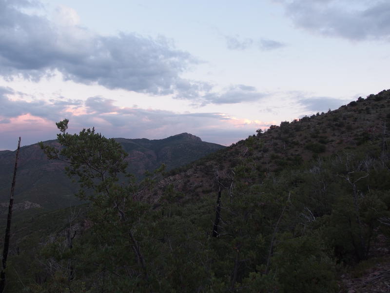
Sunset colors on Mazatzal Peak
I got a reprieve for the last stretch, as the grade slackened and the trail swung along the side of a hill at a more gentle angle. It wasn't easy - I couldn't track a tread for the life of me and had to traverse first a steep talus slide and a thick grove of saplings - at least it was almost the crest. Along the way I was treated with a decent view of Mazatzal Peak with sunset hues to the south. If only I had stuck to Barnhardt I'd probably be setting up my tent at Chilson with that view right now. Instead I was sweating and beating myself up on a forgotten trail not more than a few miles away.
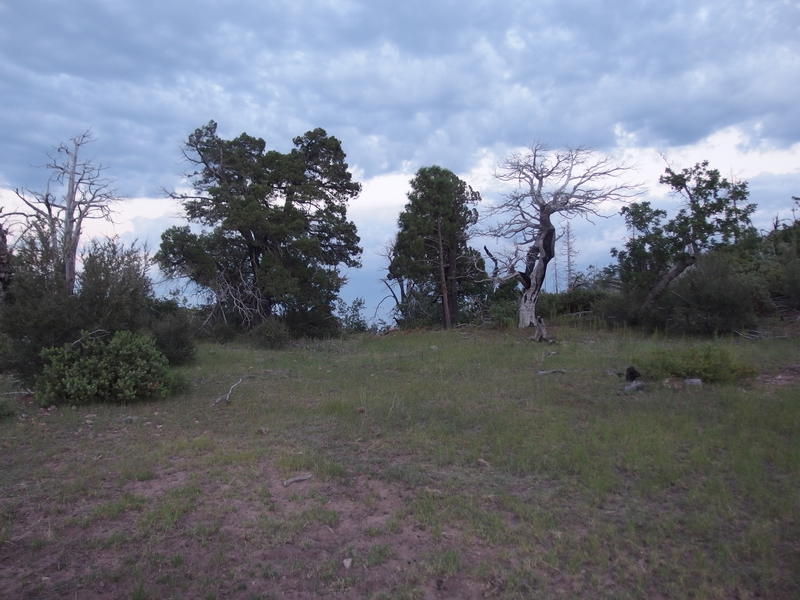
Small clearing at Sandy Saddle
Reached Sandy Saddle a few minutes after the sunset and briefly glanced around. There wasn't much here, a few logs and a clearing, though I didn't even see a flat spot for a tent or the right trees for a hammock. Definitely not worth the hike, not with two perfectly good campsites along the Mazatzal Divide a few miles to the west. I pushed on, barely able to track the trail on the west side, peering through the growing darkness.
Less than a mile sat between me and the well-maintained trail to Horse Camp Seep. Less than a mile along a terrible trail in the darkness, that is. I kept thinking about retreating to Sandy Saddle and setting up camp there, especially as I passed by some rock tanks with sitting water on them a short distance away. Too stubborn for that now. As the trail grew thicker I dropped into a drainage that ran parallel and took it downhill instead, figuring it would be easier to follow.
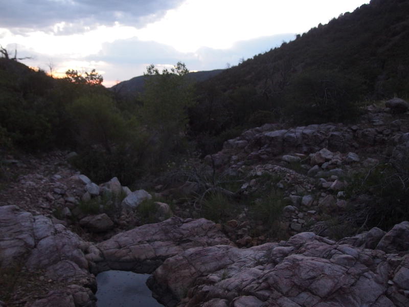
Low light while hopping through the wash
Two things made this final leg reasonable. The first was just how painless the drainage was. It could have been non-stop boulders, or overgrown with catclaw, and instead it was mostly sand with a few rocky sections. I was able to move surprisingly quick with the low light. Speaking of, it was almost a full moon out, and I never even thought about bringing my weak headlamp out. As the sunlight dimmed the moon took over and I kept pushing onwards without much change of pace.
The Mazatzal Divide Trail showed up with a towering cairn, which was much appreciated, and then it was easy going for the last bit to Horse Camp Seep. I did falter briefly when some sprinkles showed up, though they quickly stopped and I had clear skies for the rest of the way. I made it to camp and quickly set up my hammock with a tarp over it, then filtered some fresh water from the tanks, and then settled down for a mostly-smashed sandwich dinner. By ten I was snuggled in my hammock with a good book, proud that I had made it to my first campsite and feeling vaguely optimistic about the rest of the trip.


Comments (0)