The Hill on Indian Road
Dying sunlight filtered lazily through the tall bare trees. A recent heavy rain had soaked the area, leaving the earth soft and giving, the air thick and cool. I trudged up a slope between deep eroded channels and peered ahead in search of my destination. The day was slipping away and I didn't have much time to explore the suspected volcanic plug off of Indian Road.
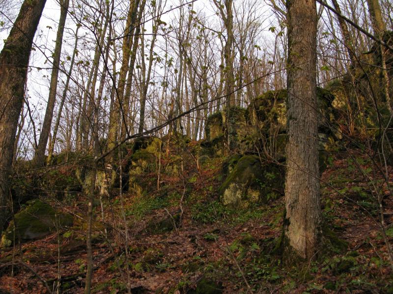
Late evening sun lighting up the higher rocks
I had first noticed the odd formation some five years back. After visiting close to a dozen impressive drops on the Silver River when only a single one (Lower Silver Falls) was actually marked I became curious if there was more to find between Silver Road and the upper falls. As I pored over the topographic profiles a strange shaped leaped up out of the page at me. A plateau, a thousand yards wide and three hundred yards deep, rose up from the west side of the river valley. I had no idea what I was looking over at first. A few years later, once I had visited a few volcanic plugs in the Ottawa National Forest, I began to wonder if this large oval was one as well. There is not a lot of information out there about the area so I decided to check it out firsthand.
The slope lessened a bit once Indian Road fell out of sight behind me. The woods were thick, a surprising amount of undergrowth sticking straight up like hundreds of neck-high riding crops. Only the forest floor showed any sign of spring green, the beginning of a flowering carpet poking up around the dead leaves from last fall. Everything else was brown and grey, including the looming wall of a hill that was slowly forming ahead to the east.
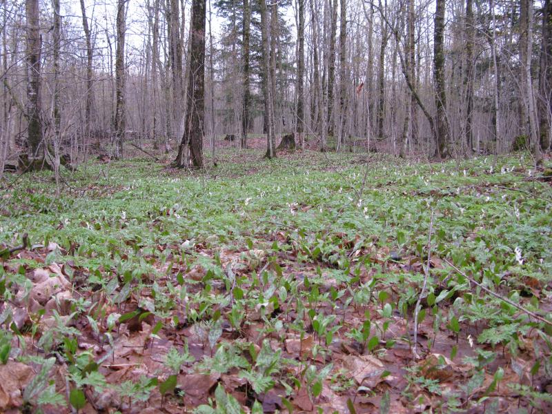
Green and flowers on the forest floor
As I neared the formation the woods and earth rose quickly, rushing up to the rock outcroppings above like the rising waves onto a hard shoreline. I was tired from a full day of hiking and had to push forward on unsteady legs to make the final stretch to the crest. Once I made my way through the upper rocks I found that the flat plateau wasn't completely flat… Years of erosion had slowly domed out the edge. I had another forty feet or so of elevation to climb before the ground leveled out.
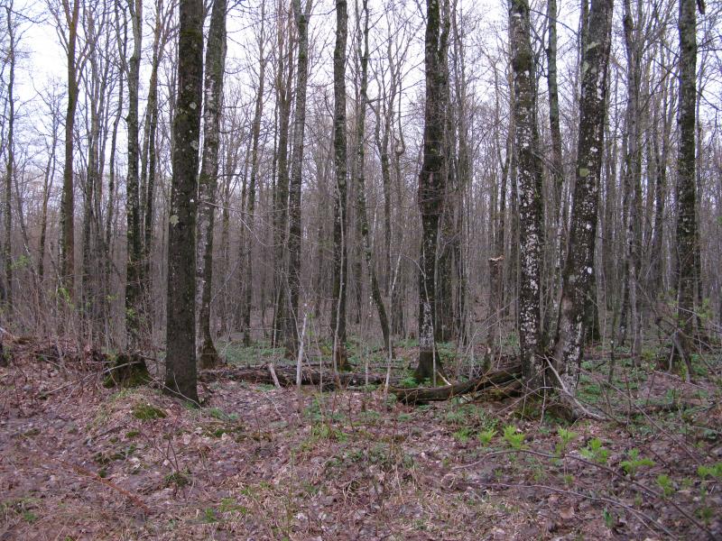
Flat, young forest on top of the hill
I noticed three things right away. First, the trees up here were no different the trees below. The steep rocky sides had not deterred loggers from harvesting the land up here. Second, there was a well-maintained dirt road up here. A dirt road that led to number three, a fenced off exploratory drill site. Someone was up here testing out the economic value of this formation. This plateau was well-visited and could one day be the site of a mine.
Up until now I had seen a lot of hints that the formation was indeed a volcanic plug. The shape, the hard black rocks poking through the edges, how those rocks split by erosion; all of this pointed to a plug. However, the sight of these drills seemed to point away from that. Tough basalt doesn't make for good ore (I think). Slightly disappointed by the conflicting information and the obvious human influence up here - I was hoping for something a bit more wild this removed from the lower lands - I turned and headed east along the road.
The road led roughly along the northern slope, keeping just high enough on the flat hill to avoid dipping down sloped edge. I caught a few half-views off to the left, slight breaks through the trees, even though the trees below were mostly tall enough to block anything good. After about a half mile something promising showed up and I eagerly cut off the road, hoping to catch a good view down Silver River valley and (hopefully) all the way down to Lake Superior.
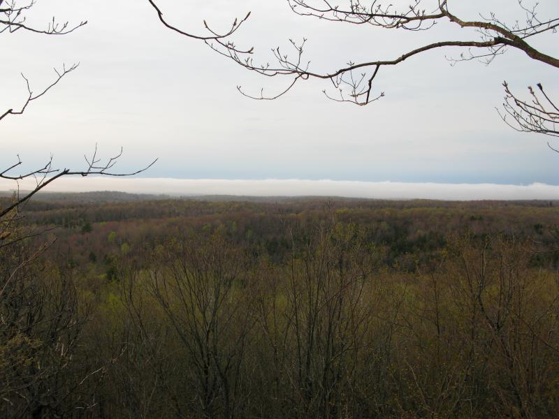
Rolling hills and fog to the north
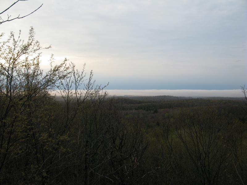
Logging activity showing up in the west
A combination of rolling hills and low foggy clouds blocked the distant views, though I could easily make out some logging cuts over past Gomanche Creek in the west. Everything else was just brown and yellow trees. This spot was clear enough to probably provide a decent view in the fall and I made a mental note to revisit on a clear day, especially if this road was accessible below. It was definitely driveable up here.
Heading back to the road I continued east. There was a possible bluff on the far southeast corner, a splash of exposed basalt on satellite photos, and I wanted to make sure to check it out. The road decided to head down on the northeast side, veering sharply down the slope, right after passing a second drill site. This one was more interesting, the fence still sagging from winter snow, and I was able to see the multiple pipes easily without pushing anything aside.
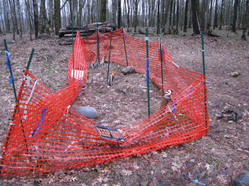
Exploratory drilling on the east side
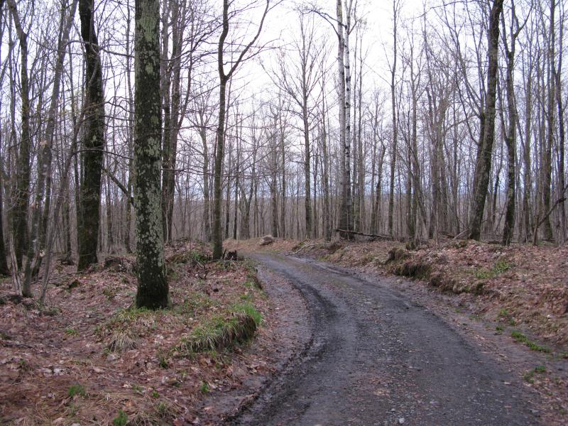
The road curving down the hill
I left the drill site and road behind and cut through the squishy forest. Pines quickly wrapped around me as I neared the possible outcroppings, small ones that brushed softly at my legs and then large ones that formed a dark green ceiling above. Then the sky opened up in front of me and I stood out on a large flat ridge of basalt, open views on three sides around me. It was fantastic.
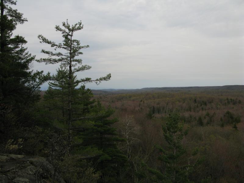
East towards Mount Arvon
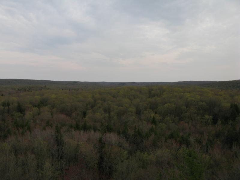
Silver River valley and Mount Curwood beyond
Somewhere to the east was Mount Arvon, though I couldn't make out the rises from here. None of the bumps in that direction seemed especially prominent. I know that the highpoint is hard to make out, with so many highlands so close, but I had hoped to get a good angle from here. To the southeast, though, was something close and obvious: a small valley holding Silver River and beyond that the long flat of Mount Curwood. I know there is a peak, some eleven inches shorter than Arvon, over past Dirkman Lakes. From here the mountain just looked like a bumpy plain of trees.
I lingered a bit on the basalt, unwilling to head back in the darkening forest. The last few rays had winked out awhile ago and left the entire world around me lit in dusky hues. Spending the night out here wasn't an option and there was no clean route to take me back to my car (that I knew of) so I eventually spurred into action. I clambored down the southern slope, following a trickling creek for a time, and found an overgrown logging road. That road led to another, then died away, and I found animal tracks that continued west. It was a lurching, uncertain return through the thick woods.
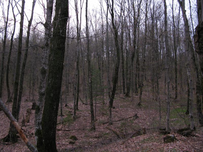
Thick woods below the hill
By the time I returned to my car the woods lay dark around the road. The hike had lasted longer than planned… Which is absolutely normal. I had visited the hill on Indian Road and I'm slighly more sure that it is a true volcanic plug, though the drill sites did confuse me. If I return I'm definitely taking the road, though. The climb and thick undergrowth were a bit much for the mild views of Curwood and Silver River valley.


-
Jacob Emerick
Jun 24, '13
Ah, interesting thought, Dave! I suppose that if they found something they could easily come up with an alternate route in, perhaps at the base, just like Eagle. There seems to be a whole lot of exploration as of late, everything from Gogebic to Mt Houghton to here, though it doesn't feel quite as fun as I'd imagine the 1860s were :P
Add to this discussion