Teal Lake Bluffs of Al Quaal
Teal Lake is one of those spots between Marquette and Houghton that has long grabbed at my attention. It helps that US-41 runs along the south shore for a good mile in Negaunee, offering even views of the dark waters and northern bluffs. Were there waterfalls flowing in or out of that highland lake? Did those northern bluffs offer good views of the highway and city and beyond? The lake was a trusted distraction during drives to and from Michigan Tech and I long wondered if it was possible to explore a spot so close to a town.
Waterfalls were ruled out early. The lake has a few seasonal creeks that run into it and a trickling exit into Carp River to the northeast. Then I learned about the Al Quaal trails. There was a whole network of trails that looped around the shore of Teal Lake (and one that wound up to nearby Deer Lake) maintained by the city. The trails were primarily for cross-country skiing (though it sounds like they were also open to hikers and bikers during the summer months). And today, armed with snowshoes, I was out looking for groomed trails. It was time to explore the bluffs of Teal Lake.
After dropping the recommended five dollar donation into the pay pipe I set down the Olympic Trail. There were three main trails: Teal Lake, Olympic, and Deer Lake. Teal Lake was a 4k that wound around some gentle slopes on the southwest shore, Deer Lake was a 7.5k advanced that dabbled along the southeast shore of Deer Lake, and the Olympic was a 5k loop that stretched along the northern shore of Teal Lake. Oh, there are a few more trails, but they are around the 1k - 2k distance and weren't anywhere close to the big lakes.
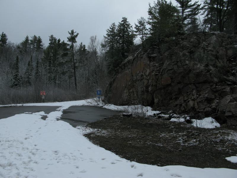
Bare pavement poking up along the trail
While there were clear signs banning foot traffic and pets on these trails I could see dozens of dog and shoe prints pounded into the wet snow. Apparently anything goes once the spring melt starts. Some sections of the path had melted straight through to pavement/gravel underneath while others (thanks to the packing down of groomers and winter explorers) was still buried in a foot or more of white.
I strode up the path with snowshoes in hand, uncertain if I'd need to strap them on for this hike or not. Once I reached the top of a hill where the Deer Lake Trail splits off and sunk down to my knees in wet snow I plopped them on. After all, it's easier to walk across dirt in snowshoes than it is to plow through knee-deep slush without.
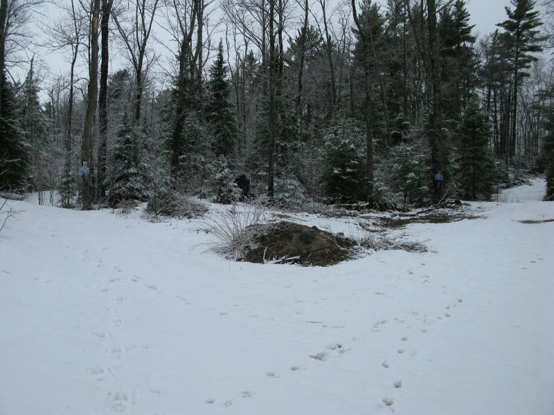
Fork for Deer Lake and Olympic Trails
The woods were pretty, tree branches still speckled with the early morning's snow even though the temperature was well above freezing. The warm temperatures were working hard at the snow underfoot, too. Months of grooming and traffic had packed the trail down, making it more resistant to the temperature, but it was starting to give a little. My snowshoes sunk in randomly to plunge me down a few inches every ten or twenty yards, jolting my pace and reminding me of just how deep and fragile the path was.
I passed a few odd sights on the path. There were a few cutoffs, connections to Deer Lake Trail and shortcuts, that were not well marked. They could have been for easier maintenance access or maybe older routes. The snow masked most things but did help me a little with the unmarked forks - just follow the dirtier packed snow. I only turned down the wrong way once and, after a few dozen yards, realized that I probably shouldn't be knee-deep in slush. The other odd thing was the warning signs for hills. There were quite a few of them, posted to warn visitors of upcoming grades. The whole area was hilly. It might make sense for skiers, I guess.
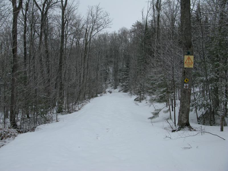
A steep downhill section of trail
The trail went on and on, looping back on itself a few times, going up and down rises. My slow pace combined with the soft ground underfoot began to wear on me. Trickling water flowing through the woods gravitated to the trails, eating out the snow underneath, and there were a few times where I plunged through into several inches of cold water. The woods were pretty, and it was nice to follow a path, I just wished the views of Teal Lake would show up already.
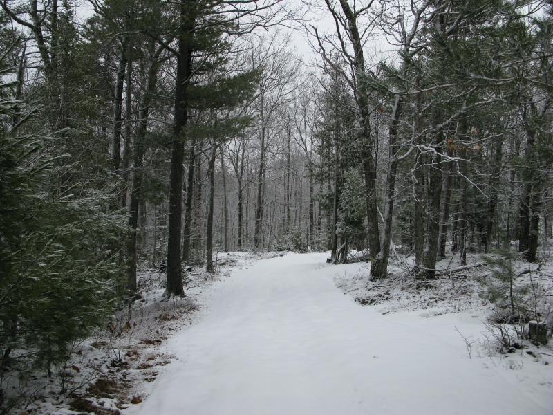
Snowy woods along the trail
After about an hour I got two surprises. First, the trail began a lazy swoop south and back west, slowly heading up towards the bluffs. The land to the south was starting to look more rugged too, rocky outcroppings blocky and stark against the white ground. I was happy to see this change. If the trail was to go any further east I'd be dealing with one of the swampy creeks that flowed into the lake and, with this weather, that would be rather sloppy. The second surprise was more depressing. My camera stopped working.
After trying all of the standard debugging tricks (checking the battery and lens, blowing into the connections, slapping it a few times) I realized I was without a camera. I was three miles into a hike and without my camera, less than halfway trough the weekend with no way to record my visit. Well, sort of. I still had my phone. I didn't like using camera phones, somehow suspecting that the Powershot G9, with its sole purpose of taking pictures (and bulk) was superior to a lightweight phone, but it was better than nothing. So I powered up the phone and took some shots. Huh. They definitely looked sharper.
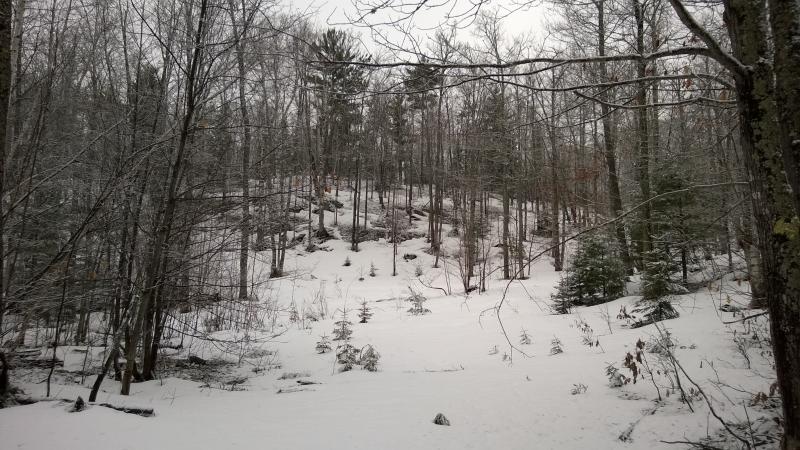
Tempting rises to the south
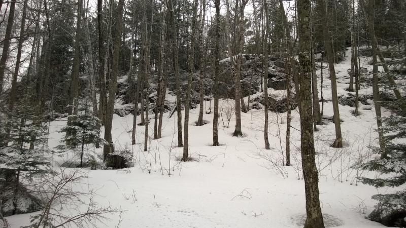
Even more rises along Teal Lake
Armed with my phone I continued up the trail, climbing the backsides of Teal Lake's bluffs and heading back west. A few rises started to catch my eye to the north. This whole area is pretty rugged, stacks of hills marching one after the other, dozens of outcroppings and bluffs sitting between Negaunee and Carp River. With the rising elevation I started to hear a few gunshots, too. Ah, the Negaunee Gun Club. I found a waterfall below their range once. That was a stupid hike.
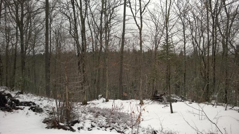
Partial views to more rises in the north
The trail kept west and I followed, continuously peeking south for potential views over the lake. When the trees opened up I wasted no time jumping over, anxious for a good view from the bluffs. And it wasn't bad. Directly across the way was the small housing development west of Negaunee, Teal Lake Bluffs if I remember correctly, and I could barely make out the hills around Tilden Mine beyond. Not quite as far east as I hoped, but it wasn't bad.
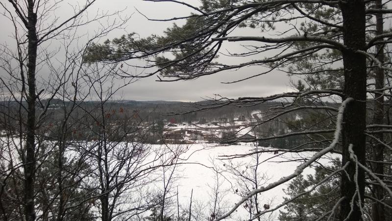
First view over Teal Lake
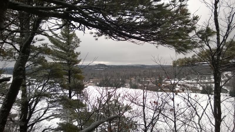
A partial obstructed view to Negaunee
I kept marching west. By now the snow had almost disappeared from the woods, leaving trace amounts on sodden ground. The trail had plenty packed on, though. I felt like I was walking on the back of a giant white snake winding through the wet woods. It was a much easier than cutting through the muddy woods, though. I'd sink just as deep in that mess than I was on the packed slush.
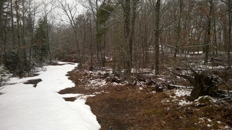
Sloppy spring woods
Another view opened up, this time unobstructed and bare on top. Now this was nice. Dark gray clouds lay low over Tilden Mine, trying to hide the unnatural piles of poor rock heaped high. Tall hills rose up beyond Negaunee and, with a bit of imagination, I thought I could see a ski jump out there. Maybe that was Suicide Bowl. Pines lined the southern shore of Teal Lake. There's that shorter trail down there, a 4k loop, that probably wound around below the tall pines. That would be pretty.
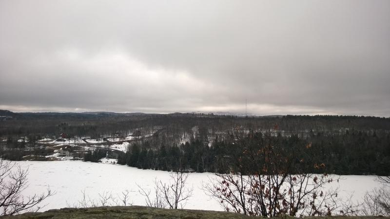
Open view over Teal Lake to the south
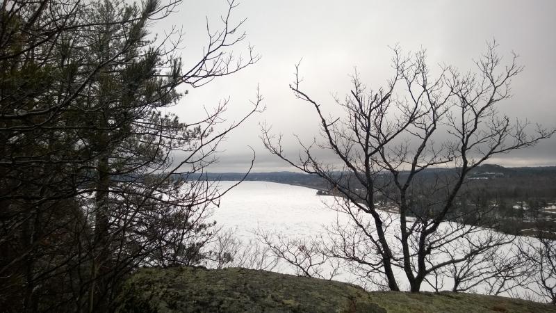
Looking east over Negaunee
The view east was a bit more blocked. Negaunee lay low next to the lake, houses and stores not much higher than the water level. US-41 made a dark gray line along the shoreline. I'm not sure what I was hoping to see east, maybe a distant glimmer of Lake Superior, but the distance and visibility masked just about anything. This view was a bit disappointing.
I turned back to the path and headed out. There was still a kilometer or so left on the trail. It climbed a bit here and there, half-hearted attempts to squeeze any remaining energy out of visitors. There was one spot that was drew me off for a bit, a bared and muddy slope down to the water level with a footpath winding down. I got to the first bridge over the seasonal creek before turning around. It probably just went down to a swimming spot on the lake, maybe a dock or rope swing, neither of which seemed terribly appealing on the mostly icy waters.
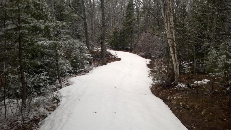
Snaking white path
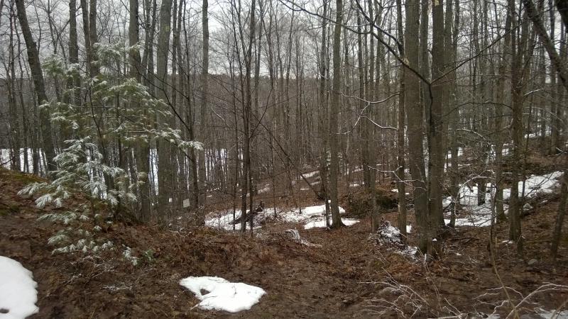
Soaking wet path down to the shoreline
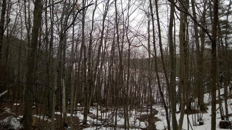
Down at the lake
Closer to the parking lot another view opened up along the trail. By now I was on the far western point of Teal Lake, next to the tube slide that shot out over the ice. Negaunee was mostly hidden here behind the curve of the lake, a few buildings poking out beyond the trees. The tube slide looked fun. From here the traffic of the highway was muffled by trees, the lights of the town distant, and the idea of zipping down a snowy chute from the lodge and sliding out over Teal Lake looked downright fun.
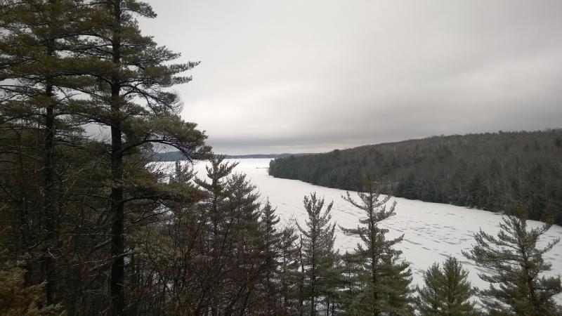
Dark clouds to the east
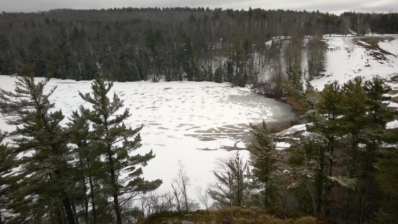
Half-thawed ice below the slide
I briefly considered doing the Deer Lake Trail when I reached the parking lot. The donation I dropped in was good for all day, after all. I was starving, though, and unsure if I wanted to stay in the UP without a dedicated camera. And the trails were not exactly ideal for snowshoeing, not today at least. I retreated to the car, boots squishing out water as I walked, and left the Al Quaal trails for the day.


-
Jacob Emerick
May 5, '14
Ah, thanks Dave. For some reason I never pegged you for a geocacher. Anyways, yeah, that last one looks nice. I (briefly) considered trying to cross that creek and climb up the cliffs to the east. Between the nasty wet snow and these pictures I'm glad I didn't - looks rather wet!So it looks like I missed at least one, if not two, of the overlooks. Do you know if there are any more off trail?
-
dcclark
May 7, '14
Sarah and I did a lot of geocaching when we lived up there. It's a fun way to find new places and also nice to have a goal to achieve.There are probably a ton of overlooks along the cliffs, but I only know of 2 or 3 which actually have some sort of trail going to them. They're probably a lot more obvious in summer, though.
Add to this discussion