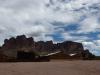
Shaw Butte
A few mountain hikes lay scattered in the northern reaches of Phoenix, including Piestewa (Squaw Peak) and Camelback, both of which I've hiked when I was first getting used to these desert lands. There are some less lofty ones too, such as North Mountain and Lookout. Calling these mountains are a bit of a stretch after some of my ridiculous outings in the Superstitions and Mazatzals, I guess, as the roar of traffic and view of repetitive suburbia roofs are always present from the trail, and the elevation difference is usually measured in hundreds, not thousands, of feet. Anyways, this afternoon I had my sights on one of these little urban hikes: Shaw Butte.

Hot desert landscape in northern Phoenix
Shaw Butte is part of the Phoenix Mountain Preserve and is a meager 700' above the surrounding city, rising to a total height of 2149'. It features an old cement road that leads up and over the summit and a cluster of microwave towers on top. Glamorous. Normally I wouldn't be up this way for such a little bump, over an hour's drive from my house in Gilbert, but I was spending the weekend at North Mountain Park getting certified for Wilderness First Aid (more on that in a future post). I spent all day learning in a classroom setting with this hill sitting outside and just had to knock out a quick climb at the end of the day.
As soon as the day was over I headed out, starting on the trail at five in the afternoon with temps way over a hundred. I was in a rush and aimed for a trail going north without checking any map or sign. This rushed start set me out on a connector path for the Charles Trail alongside a main road, far from where I wanted to actually go, and I had to curve around behind a Dollar Tree before Shaw Butte was in front of me. Wasted twenty minutes in my haste - next time I should just look at a map before picking a path at random.
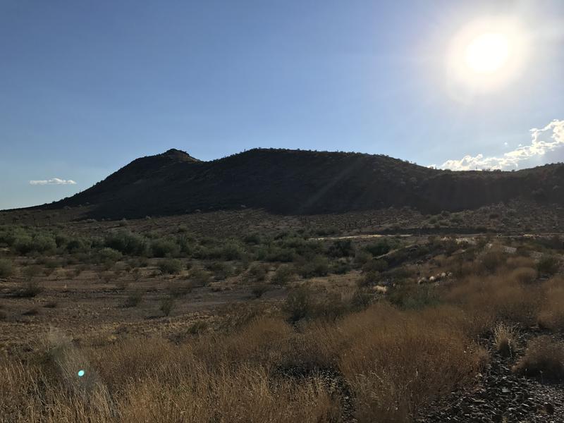
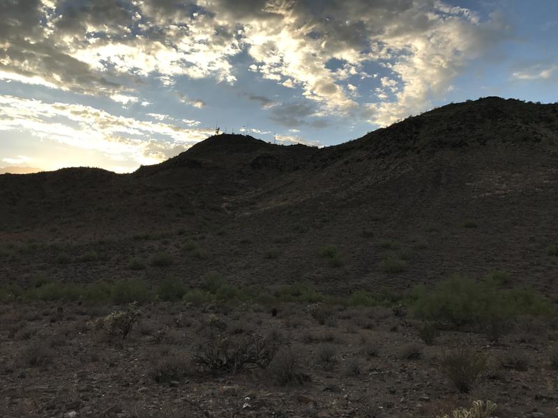
Shaw Butte, slowly rising

Old, pitted road up the butte
Once I got to the Butte, though, it was pretty obvious where to go. An old cement road shot up the hillside. The road was deeply pitted and worn, with enough loose stuff to make it more treacherous than a normal rocky path, and I wondered if any sort of vehicle could even make the drive up these days. A normal service truck couldn't reach the towers, perhaps a retrofitted ORV could do it. Entire sections of the road were gone right through to the foundation.
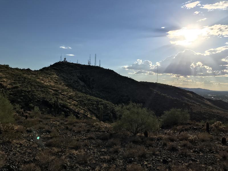
Radio towers on the summit
It was with some relief that I crested the side of the hill and saw a relatively flat route over to the summit. The loose, rocky road had been annoying and now there was only a few hundred feet left to gain. With the lesser grade the road improved as well, allowing me to haul over without much effort. I soon reached a point where the trail topped off and began heading downhill, with a rough service road leading up to the summit proper and towers. Of course I took the service road.
There was no sign or warning against reaching the summit proper, with most of the electronic equipment safely locked behind tall wire fences. There was an excavator, though, next to a tall mound of loose dirt and rocks. The mound was placed right on top of a path to an overlook so I took the opportunity to climb up to the top, slipping and sliding over the loose stuff. This was the new highpoint of the mountain, after all. Done with that foolish stunt I wandered over to the overlook and sat for a minute, drinking some of my water while eying up North Mountain. It was so close, though there is no good way to get from here to there.
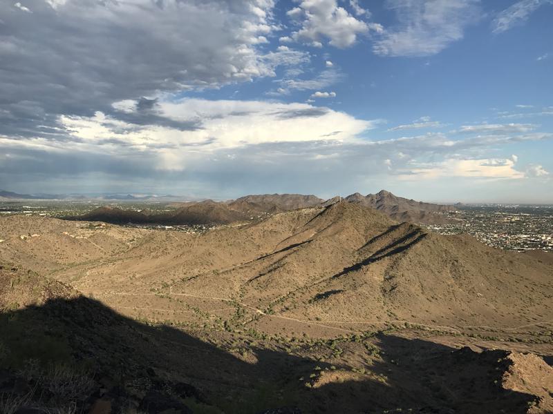
Looking south towards North Mountain and beyond
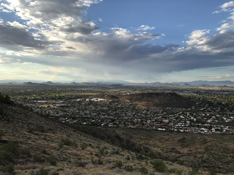
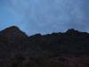
Small burst of rain to the north
Done with the short break I headed back towards the trail, loping downhill with the grade and checking out the northern view. There was a small storm a few miles that way dumping rain. Kinda wished it would rain over here, I was starting to feel the hot afternoon temps. Even this short climb had me sweating a ton. Eh, things were downhill now. I looped around with the road, finding a steep footpath that plunged down the southeast flank, and was off the butte before I even noticed it.

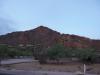
Closer view of North Mountain
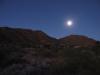
Thirty minutes of daylight left now. I had a headlamp and aspirations to climb up North Mountain, though the only way to climb from this side was off-trail. There looked to be some use paths, maybe, though I don't know if I could track them in the dark. I wandered along a defined trail for now, keeping an eye out for any obvious cairns or cut-offs leading up the slope, and didn't find any. Faced with the choice of blazing a trail in the twilight and starting on my way home I chose the latter, mentally picking out a burger for the long drive south.
Sun setting behind Shaw Butte
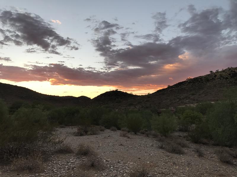
Final burst of color over the preserve
Even sticking to level ground and official trails it took me a half hour to return to the parking lot, reaching the van shortly after the sun set. It was a hot few hours out here and I was glad to get back to the cold water waiting for me. Definitely wouldn't make the drive up here to hike these hills alone, nor would I bring the boys for such a loose and treacherous climb up Shaw Butte. However, I would be coming back here tomorrow for more first aid training, and there was a good chance I'll be spending time in this park for non-hiking reasons over the next few years, so maybe I will tackle these trails again.
Comments (0)