Salmon Trout Point
Just north of Big Bay the shoreline makes a final reach north before curving westwards into Huron Mountain Club property. The land here is strangely flat, with an elevation of 120 feet above Lake Superior. Instead of rolling gently down to the water, the forest abruptly stops at cliffs that plunge straight down to the shallow water. Only a few cabins and roads dot the area, making it a large, flat, and empty area jutting into Lake Superior. I probably never would have visited it if it hadn't have been for a fellow hiker who pointed me towards an amazing hiking adventure.
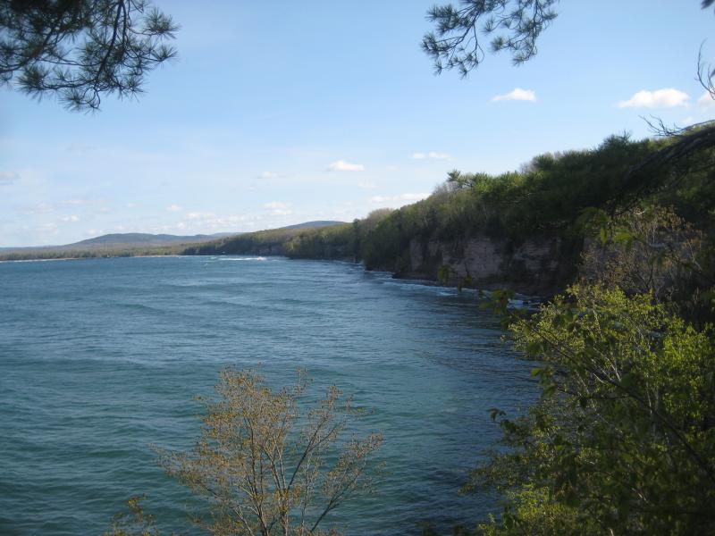
Looking south from Black Rock Point
My first visit to this area was with Katie and Logan. We had been out all day and were more than a little tired by the time we reached Big Bay. Parking where Sullivan Creek begins to turn left, we headed east to the water at Black Rock Point. A gated two-track took us right to a small camping spot near the small point. This point is really just a small dimple sticking out from the otherwise straight shoreline with great views both north and south of abrupt sandstone cliffs.
I headed down a well-worn path to some large black rocks at the water's edge. The sandstone cliffs and black rocks were very similar to Presque Island, although these cliffs were many times larger than the ones closer to Marquette. It was a particularly cold and windy day and I was treated to several sprays before heading back up. On a calmer day one could attempt walking at the base of the cliff, which only appeared to be ankle deep, but I didn't want to risk it in this weather.
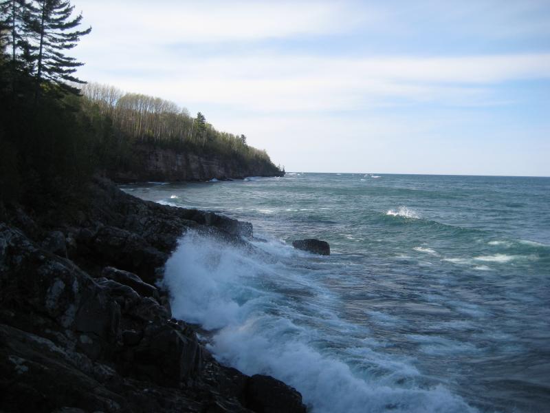
Looking north from Black Rock Point
Salmon Trout Point had to wait for my second visit. It was much warmer by then and the sun was already starting to set. I was in a rush to reach the point, so I skipped by Black Rock Point, reaching the cliff several hundred yards further north. While the shoreline was too straight to get a good view of the sandstone, I was treated to several amazing views of Lake Superior.
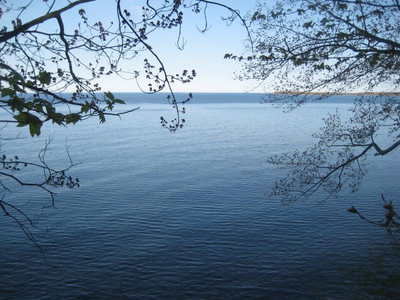
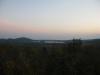
Big Bay Point
Unlike Black Rock, Salmon Trout Point does not offer a path down to the water. The point itself is much thinner, and you can look on either side of the path to the stomach-churning drop below. You can still see all the way to Big Bay to the south and a wide, open expanse of Lake Superior to the north.

South from Salmon Trout Point
Another view I was hoping to get was one of the Huron Mountain Club to the west. This point did not have the right angle for this, but an unnamed point a short distance to the west did. From here one can make out the different mountain peaks of the club and the sandy beach at the mouth of the Salmon Trout River. Traveling further west along the shoreline around the bend might have offered even more views, as well as the chance to walk on the sandy beach (though chances are pretty good that the Club owns the entire beach), but there were several cabins in this area that stopped me from exploring further without good property maps.
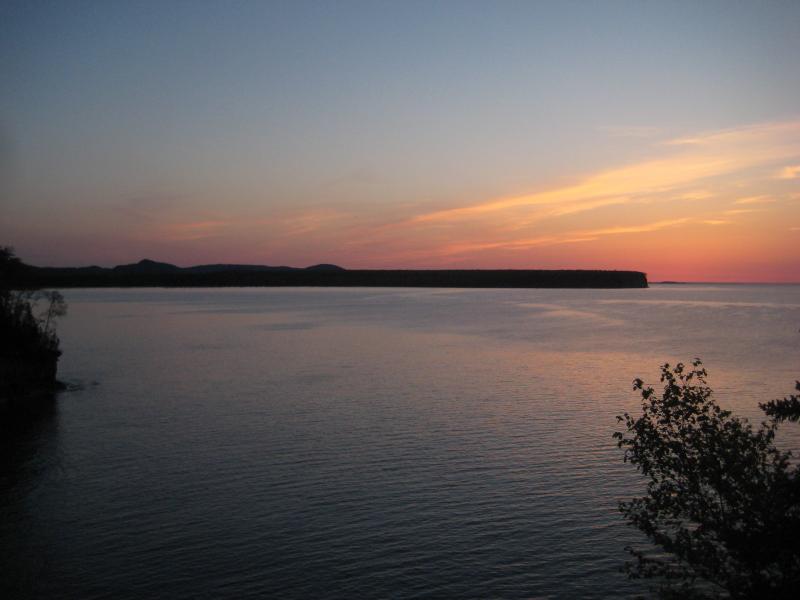
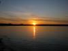
Sunset over Conway Point
The following morning I stuck to Sullivan Creek Road past the bend to find another good view of the Huron Mountain Club. Turning left on the third two-track I headed south for 1/2 a mile before reaching a small four-wheeler track leading up a rocky hill off to the right. Known as Bald Hill, the small, rocky outcropping offers some great views of the eastern Club mountains.
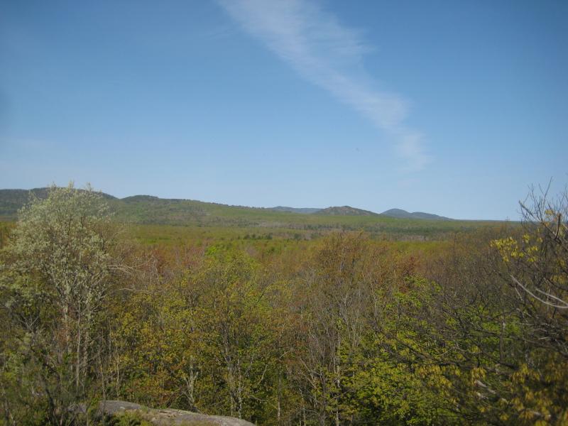
Huron Mountain Club from Bald Hill
Salmon Trout Point is a great place for a half-day hiking adventure. Between the shoreline, hills, and clear forest, there's plenty to see and enjoy for all types of hikers. Some areas that I have yet to cover include the western side of the point below the cabins and the actual shoreline. To hike the base of the cliffs from Black Rock Point all the way around past the northern points would be simply amazing.
-
Jacob Emerick
Aug 31, '10
True that! I can't wait to head back there...
Add to this discussion