Rincon Double Feature
South of Mount Lemmon and the Santa Catalinas is another sky island, a shorter one, that has been spared from the devasting wildfires of the last few decades. The Rincon sky island sprawls across several mountains, including Mica Mountain, Rincon Peak, and Tanque Verde, and supports a large stand of ponderosa pines. Interestingly, this range is technically part of the Saguaro National Park, although most of the saguaros are found in the east, on the other side of Tucson. Anyways, the Rincons have intrigued me ever since I hiked up Mount Lemmon last year, and I figured a visit before they inevitably burn would be worth it.
I drove down from Phoenix in the early morning hours and reached a remote Miller Creek trailhead at 4:30AM, long before the sunrise. There are 2.5 miles of dirt road between this trailhead and Turkey Creek so I knocked that out first, making quick work of the rocky, easy walking, passing a few car-campers along the way. As the sun began to light up the surrounding hills I passed the trailhead and hauled up the path, hoping to escape the grassy desert highlands before they got too warm.

Fantastic trail setting along Turkey Creek
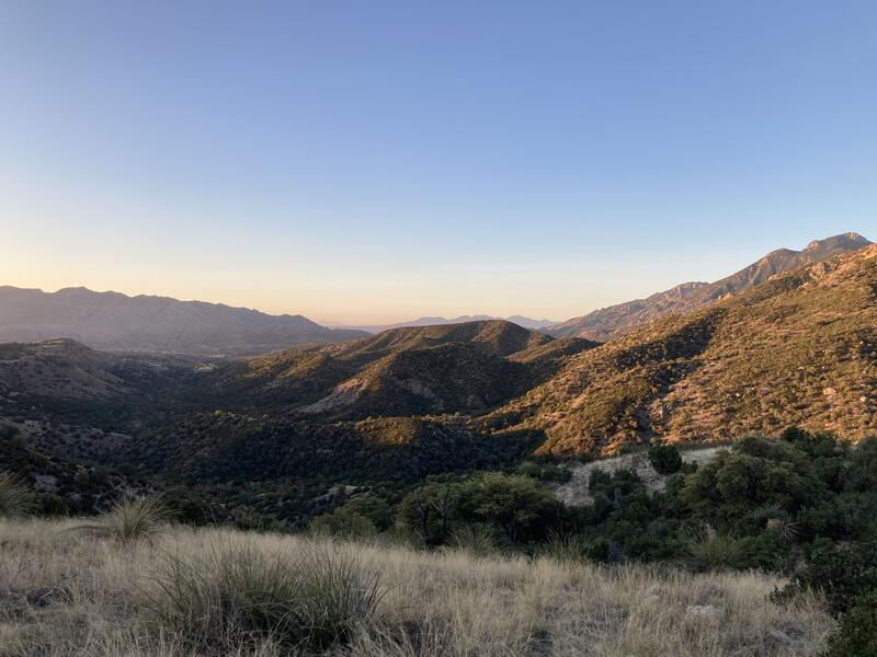
Early morning light on the Rincons
Turkey Creek Trail is one of the steeper entries into the Rincons, hauling up the flank of Mica Mountain, ascending 2700' in 5 miles and ending in a lofty pine forest. The first few miles were pleasant and easy, a gradual climb along grassy ridges, and the trail was in excellent shape, allowing me to gaze around at the new terrain. Once past a saddle, though, things get spicy, and I was slogging up a rocky track between manzanita, cutting back and forth on numerous switchbacks. It wasn't too hot yet so I didn't mind the early sweat, even with the extra water weight I was hauling in my pack.
Water, that was one of the issues with this range. There is only one dependable source at Manning Camp - everything else is seasonal. With how dry things have been in the Southwest I only planned on the one source, hauling a hefty six-liter capacity to get me to and from it. I prefer to hike light and fast, with multiple refills along the way, and I felt every liter in my pack this morning pulling me back down the mountain.
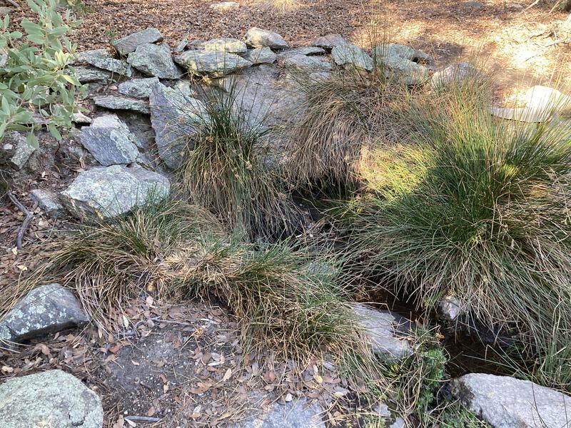
Humble trickle of water at Mudhole Spring
Mud Hole Spring showed up along the trail, the first of the seasonal sources, and there was probably enough to pull a liter or two from underneath the grass if I was patient enough. Paused here long enough to grab a fresh snack and then pushed on. I could practically feel the cool breeze under the pines at this point and wanted to be done with the climb.
There was plenty of climb beyond Mud Hole Spring, and the steep and remote area began to take a toll on the trail conditions. Deadfall had to be navigated around, loose rockslides climbed over, and manzanita overgrowth pushed through. Knowing where the trail led was never an issue, following it became a growing nuisance. As the sweat pooled on my forehead and trickled down my back I slowly gained elevation, earning each foot of climb, barely noticing as the manzanita grew into short, scrabbly trees, which sprung upwards into ponderosa pines just as I reached the second seasonal spring (Deerhead, which was totally dry) and the junction with Deerhead Trail.
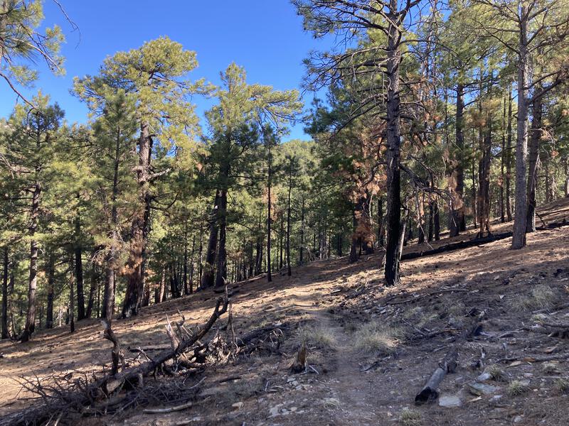
Big pines on Mica Mountain
Finally, in the pine forest, and it was before 8am. I was standing at 7280', still had close to 1400' left to reach the summit of Mica Mountain, which felt trivial at this point. Deerhead Trail was a short, mostly flat stroll over to Spud Rock Campground, which had a few campsites spread near a dry spring. Then I took Switchback Trail and climbed a few hundred feet over... switchbacks... and connected with Heartbreak Trail. I'd spend a lot more time on Heartbreak later today, traveling south along the ridge, but for now I only used it to connect with the Fire Loop Trail. The top of Mica Mountain has a whole maze of trails, which makes dayhikes from Manning Camp very convenient, and I skipped in between them, taking a meandering, scenic route to the summit.
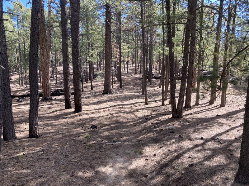
Easy stroll over pine needles
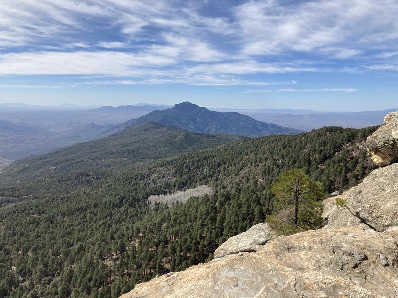
Looking at Rincon Peak from Man Head
Fire Loop Trail makes a large loop around the summit and passes by Man Head and Reef Rock, two rocky outcroppings that I had been eyeing up during my morning climb. Before they had seemed insurmountable, and now, looking down from them, it seemed like my morning hike was a ridiculous daydream. I love adventures that are mind-boggling, when my eyes have a hard time accepting what the legs just did. Plus, the views gave me a good look over at Rincon Peak, my afternoon goal, which was also simultaneously close enough to touch and unrealistically distant.
All I had to do now was reach the summit of Mica Mountain, though the trail seemed to take its sweet time getting there. Compared to the other paths it was difficult to follow, with long sections hardly defined under the pine needles, and I was forced to hunt for cairns. Also, with the roundabout route so close to the top, there were numerous drainages to cross, and the rollercoaster did not please my tired legs. Eventually I reached the old fire tower foundation and a small marker. There was no view, no vista, no clearing - just a pine forest on a hint of a domed top. I sighed and continued on the trail, disappointed by the summit.
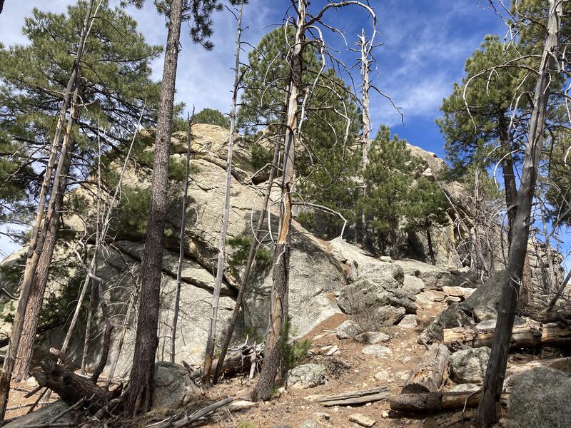
Rugged outcropping of Spud Rock
Trotting downhill, thankful for the reprieve, I passed by Spud Rock, which seemed like a more suitable rocky peak, and is only some 50' lower. It was tempting to scramble up, though I was more interested in a lunch break at this point. Next time. I continued downhill, turning south at the next junction within sight of Helen's Dome, making quick work of the last few miles to Manning Camp.
Manning Camp is a ranger station, campsite, and dependable water source, all within a short distance of the top of Mica Mountain. I saw horses first, a few lazy ones grazing in the pen, and then the nearby cabin. No one was manning (heh) the cabin today, though there were quite a few sturdy tents nearby, so I suspect that the rangers may have been helping a trail crew on some maintenance in the park. In fact, the only person I saw up there was another hiker sleeping in a hammock. Avoiding the sleeper I wandered over to a waterfall, filling up at the clear pond underneath. I had six empty liters that I needed to fill with cool, filtered water.
Lunch was a rushed affair. I was behind schedule and felt overly tired, with that whole rollercoaster of Fire Loop Trail, and had some stomach issues on top of that. At noon I decided to push on, munching a few last morsels as I headed down Manning Camp Trail towards Devil's Bathtub. This route was a fun one, as it followed the happy little creek from the camp down to an expansive canyon with big views out east to Tucson, and then continued along the edge to the trickling Bathtub Spring, which had big Wilderness of Rocks vibes, tall pines squeezed between rocky outcroppings. There was some burn damage here, not enough to detract from the great views. Soon I was back on Heartbreak Trail, on Heartbreak Ridge, and it was time to head south towards Rincon Peak.
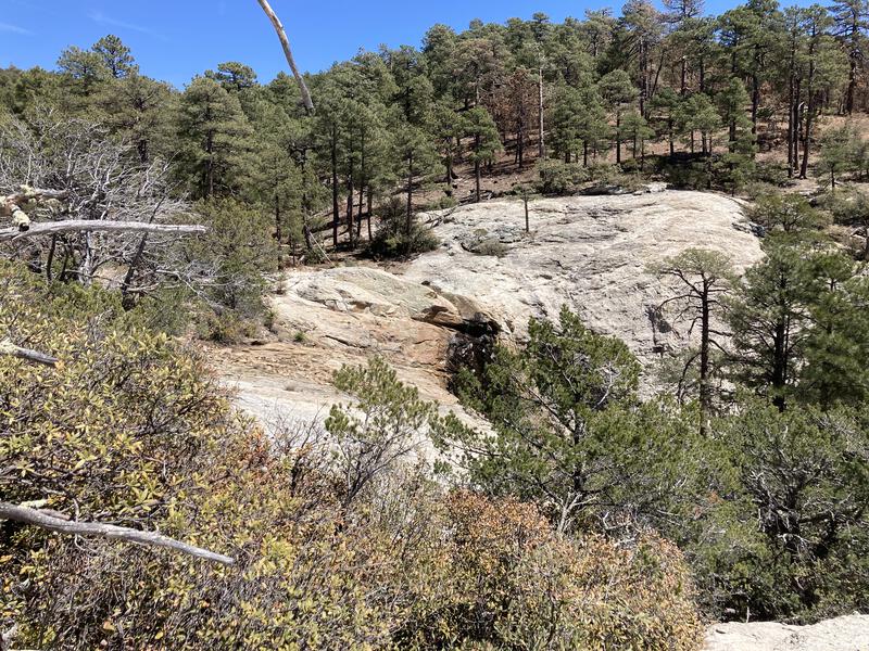
Messy slickrock at Devils Bathtub
The ridge is not that long - about 3 miles - and it stretches south from Mica Mountain towards Happy Valley, a low point in front of Rincon Peak. Most of Heartbreak Ridge is above 7000' and it has a mix of pine forest and manzanita, offering either exposure or shade with every other turn. I dragged a bit during this section of the hike, feeling the heat and miles, and didn't feel that excited about the expansive views in the moment. I seriously considered cutting the hike short and dropping the peak from my itinerary.
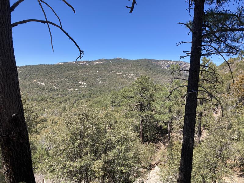
Looking back at the highlands of Mica Mountain
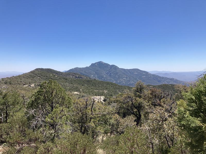
Along Heartbreak Ridge Trail
Near the end of the ridge is a short uplift with an old fire lookout on top. The lookout cabin is closed due to rodents or something, so I had to be content with leaning against the horse tie out and snacking. Views are really something, especially to the east. I couldn't help but gaze out there and think about my recent trip to the Galiuros. My last few adventures seem to be ramping up in intensity, including this one, yet the Galiuro backpack had felt a little chill. A relaxed three or four days out there could be fun.
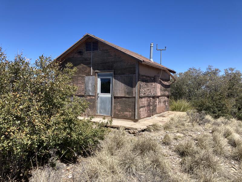
Old shelter at Happy Valley Lookout
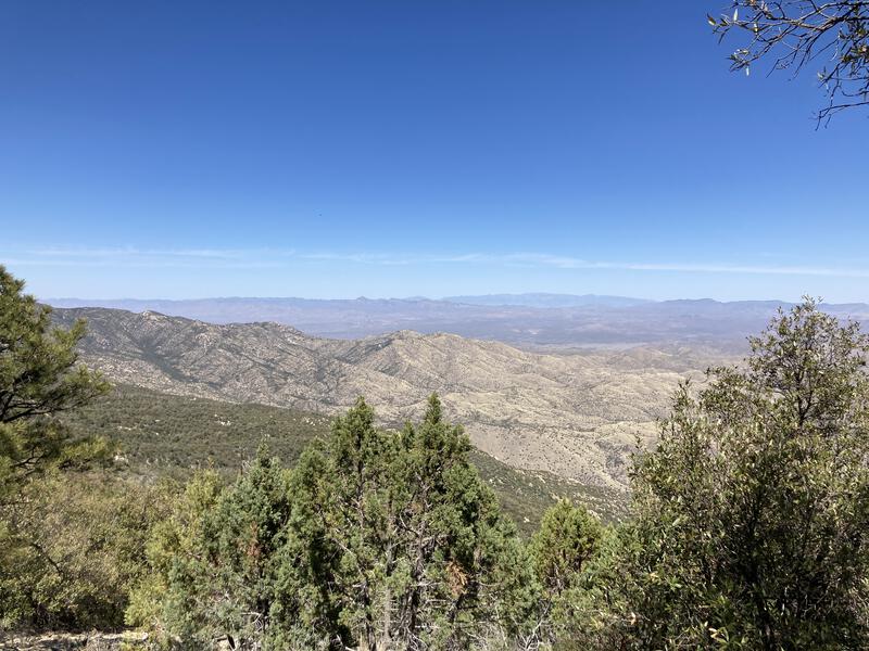
A hard land to love
Heartbreak Ridge ends shortly after the lookout and the trail plunges down over steep switchbacks, fully exposed to the afternoon sun. I was thankful that I was heading downhill - going up in the hottest part of the day seemed like it would be less than enjoyable. At the bottom of the well-constructed switchbacks was Happy Valley, which was shaded, if warm, and I trotted quickly on the flat ground. I passed a few junctions, the humble campground, a few dry water sources, and then collapsed on a rock, rummaging through my pack for sources of energy before the climb up Rincon Peak.
Compared to Mica Mountain, Rincon Peak is a very different beast. There's only one trail up and down, about 3 miles long, unlike Mica's rich network of paths. The peak is very steep and sharp, not a gentle dome. Some accounts even talk about butt-scooting to descend safely. My legs were quite done and my energy levels low, though I had time and caffeine, so I downed a few sugary gels with water and headed up with surface-deep bravado.
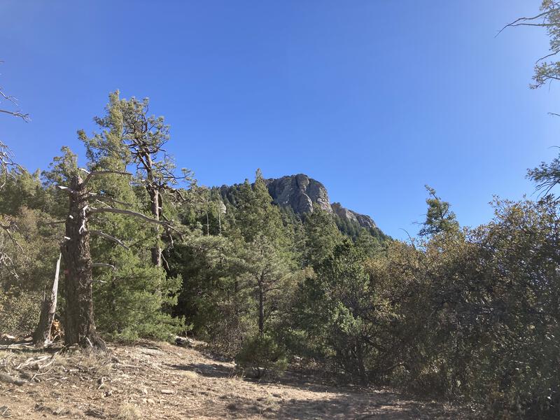
Slowly approaching Rincon Peak
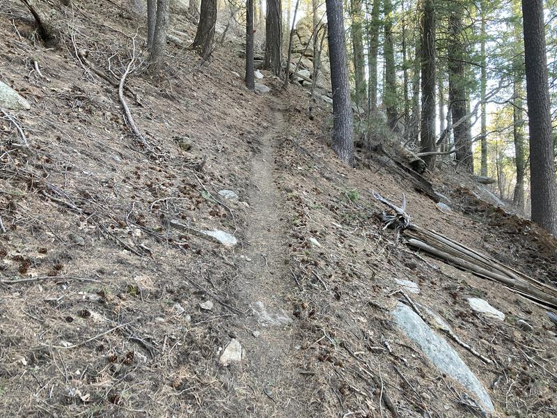
The steep, narrow trail up to the peak
Climbing Rincon Peak after a full day of hiking was one of the toughest things I've done. It was harder than the Grand Canyon and Blue Range, both of which had higher stats. I spent most of the climb staring at the next few feet of trail, leaning heavy on my trekking poles, stopping to mop off sweat and catch my breath every few minutes. When I hit the "extremely steep" portion my legs began to cramp, so I punched the knots in my quads and pushed on. There were a few spots where I legit prepared to throw up over the side of the trail. Once I reached the top I didn't feel that accomplished or happy, I merely felt done, and I took a few quick photos, polished off a liter of water, and headed back down, already imagining which disgustingly greasy burger I'd pick up to carry me home.
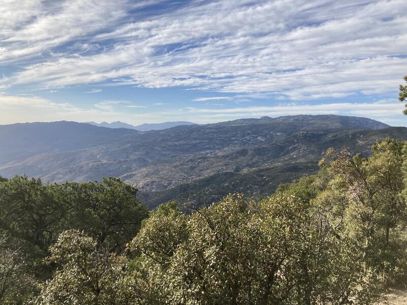
Looking north at Mica Mountain and Santa Catalinas
Descending was easy enough and I enjoyed the terrain more, with most of the exertion done and all. Rincon Creek looks like a fun way to ascend these mountains, coming in from the west, though there are some access issues to work around from that side. For now I simply dropped back to Happy Valley, feeling happy to return to the junction with Miller Creek Trail, which would take me right back to my trailhead, where I had started this hike so many hours ago.

Late afternoon light over the peak
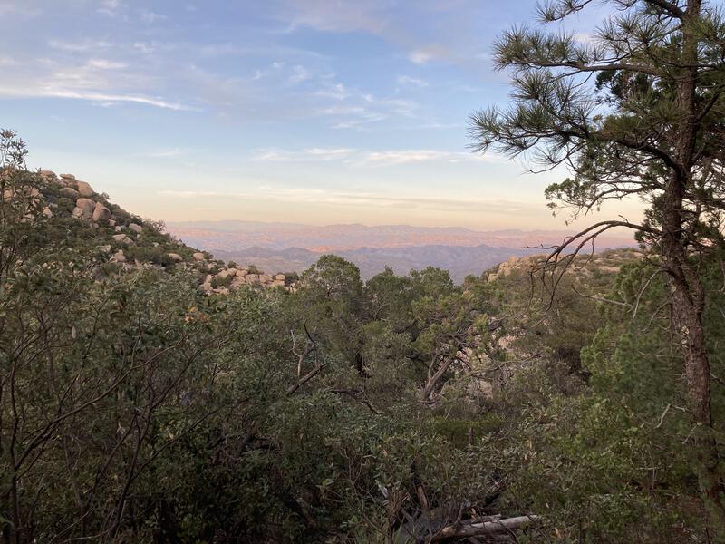
Evening draped over the eastern horizon
The first half mile sat next to the dry, rocky creek, and was mostly covered by huge shade trees, slowly descending over rocky steps. Then things get crazy. The whole eastern side was a mess of giant boulders, a far departure from the grassy ridges over by Turkey Creek, and the trail had to wind back and forth like a over-excited snake, frequently leaving me in a confusing spot in the waning light hunting for the next cairn. I was exhausted, and this type of route-finding quickly got on my nerves. At least the final mile calmed down and I was able to follow an easy sandy wash in the full dark, reaching the Jeep at 8PM.
My route was one of the shortest methods of reaching both Mica Mountain and Rincon Peak in a single day as a loop, and as hard as it was, I couldn't help but wonder if Tanque Verde could have been roped in too. If I had started from the west side, perhaps, even if that would have meant adding in many more miles and a lower starting elevation. Maybe that would be better done as a two-day, with an overnight stay at Manning Camp. Today was enough for now. I had visited the Rincons, had a full and exhausting day, and future aspirations could wait for tomorrow.


Comments (1)