Red Hills Romp
Hopping across Wet Bottom Creek was lovely, clear water trickling around the red rocks in the most scenic of fashions. On the far bank was a large cairn and wide path, an open invitation to continue forward on Midnight Trail on my long walk around Midnight Mesa, and yet I paused. It was just after twelve, the halfway point of the day, and I was not yet halfway done with my hike - in fact, the hardest miles were still ahead. I was tired, my legs were cramping, the temperatures were rising, and the storm clouds threatened overhead.
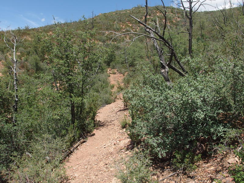
Easy, cleared trail beyond the creek
At least the trail cooperated. Compared to the last few miles, this section of Midnight Trail was a welcome reprieve, wide and well-maintained. Shortly after crossing the creek there was an old corral that would make a great campsite, complete with flat spots for sleeping and large trees for shade. Afterwards there was a quick 200' climb that taxed the legs, and then the trail leveled out and crossed a small (and dry) tributary, the same one that is sourced from Fuller Seep a few miles up. It wasn't until the second 380' climb that I really suffered, leaning heavily into my trekking poles to keep moving. Gee whiz, I was burnt out, and the knowledge that I still had a thousand foot climb waiting for me didn't help.
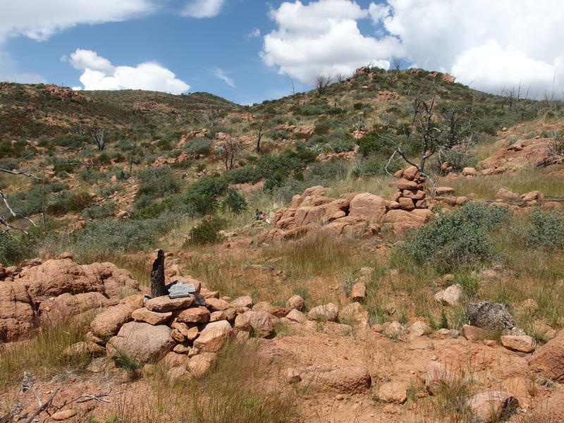
Big cairns on Red Hills Trail
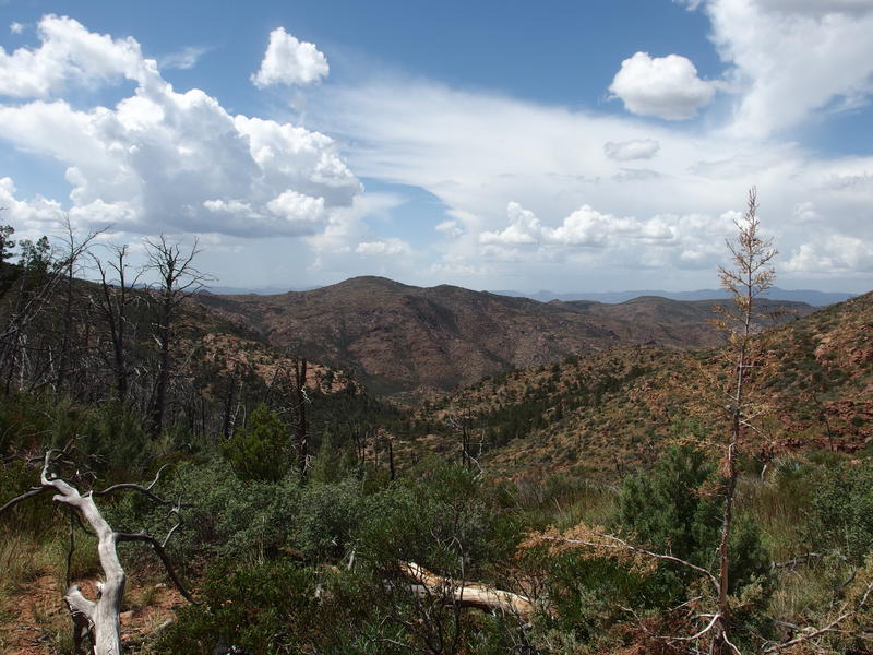
Wide, deep valley to cross
Getting back on Red Hills Trail felt good. So far today I had finished two trails (Lost Spring and Midnight) and, if I could finish this hike, I'd complete the western half of Red Hills, the eastern part of which I had traveled last December. Plus, the next two miles were familiar terrain. Most of it was a steep drop into the deepening Wet Bottom Creek valley, and was heavily damaged by the fire and sees little traffic these days, but it was familiar. I slid along the side of the 5853' with the trail, took in the big views to the west, finished all but a half liter of my water, and then started the long tumble down.
The descent went well. Again, I had walked this trail before, and between my previous visit and analyzing my route later I was able to stick on trail most of the way. There was one point that I veered off and had to backtrack, and another point where I took a shortcut that ended up being rather painful, and the rest was easy. I reached the bottom of the valley around two, found a convenient rock, and collapsed next to a large pool that was full of clear water.
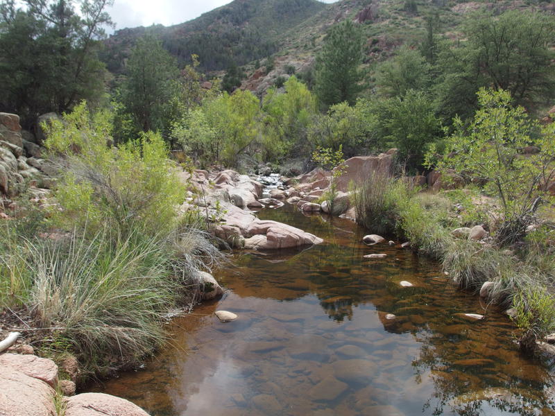
Fantastic water source at Wet Bottom Creek
I had three jobs to do. First, I immediately set to pulling, filtering, and drinking as much water as my stomach could hold. Second, I began selecting a variety of snacks to wolf down, including some over-powered energy gels. Lastly, I finally got out the deLorme to start chatting with my wife. Over the last few hours the tall clouds had begun to darken and rumble and it was time to figure out how bad of a position I was in.
Turns out I was wildly lucky. There were three big storms surrounding me, though none of them were forecasted to actually pass over my location or the route ahead. One of them was actually going to pass within a few miles of me and dump buckets of water on Fuller Seep. Not only would they miss me, none of the washes I'd have to cross were in danger of flashing. Katie could tell I was in rough shape and suggested that I call in for help, though I refused - a bit of exhaustion was not a good reason to put others at risk.
With water gurgling in my belly and fresh energy coursing through my blood I collected my gear and tackled the climb up the western bank. This was what I had been dreading all day, this long haul, even more so in the hot sun and with tired legs. Now I had fresh energy and the storms blocked the sun, so I tackled it with gusto. The trail was in great shape, plenty of cairns and tread, though I did rush it a bit and swerved off route numerous times. The deep rumbles, even if they were going to miss me, served as a great cattle prod.
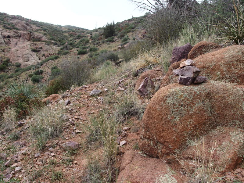
Long haul up the western bank
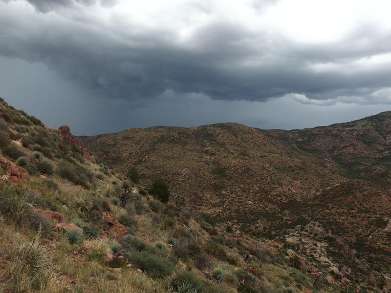
Storm chased
Halfway up the climb the trail hits a saddle and makes a sharp turn south, following a ridge up a more forgiving grade before the it levels out. There was a cool cairn here almost shaped like a throne. It marked the end of the trail for a while. For the next .8 miles I had to push through deadfall, thick undergrowth, and over loose rock in a desperate attempt to continue moving forward and up. Every time I thought I found tread it failed me, fading into spiky plants, so I hacked and fought my way up. I barely made it to the top when the storm finally caught me.
A large boulder was within a few yards and I made my way over, attempting to huddle under the side. The rain still found me so I hauled out my poncho and curled over to protect my boots. Still had sixteen miles to hike, didn't want to deal with wet boots. The heavy rain only lasted ten minutes and there was no lightening… could have been worse. Drizzle and cool temps followed the downpour so I set off with that, only keeping my poncho for the first half mile. There was a trail on top, one that was easy to follow through the tall grass, and it still had an assortment of mean and thorny plants that could shred the thin plastic with ease.
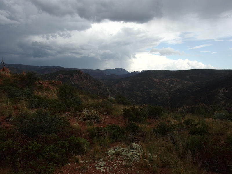
Sheets of rain over a distant Mazatzal Peak
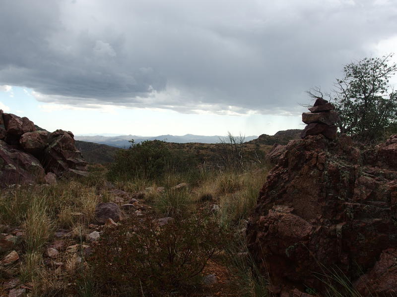
Big western views
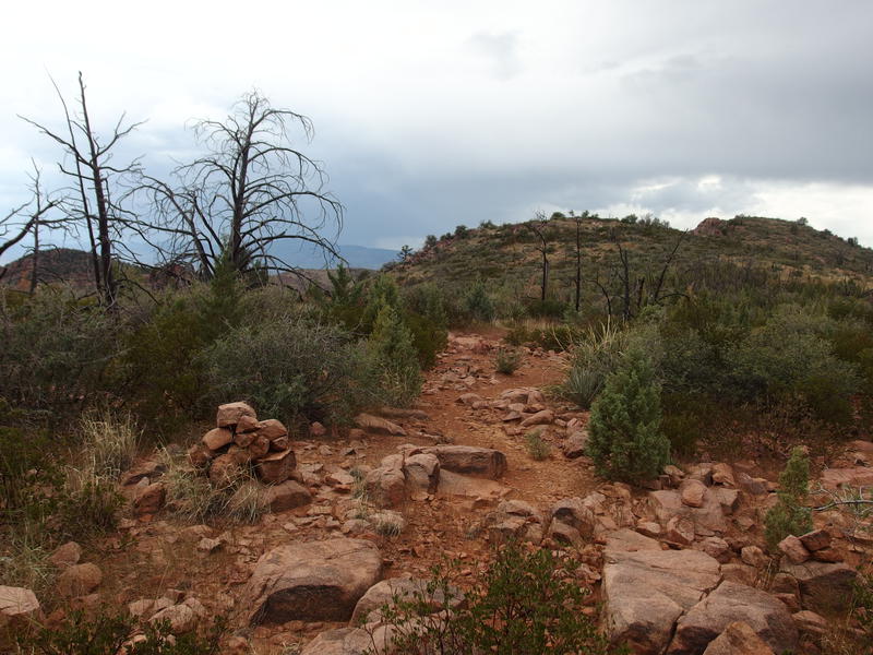
Easy going on Red Hills Trail
The trail circles around the side of 5601', almost hitting the summit, and offers fantastic views in all directions. It was wide, rocky, and had huge cairns, a most pleasant surprise, and I'd venture to say that this is one of the best central trails of the Mazatzals. As I hiked in the pleasant temperatures I tried to pick up the pace, watching the light play on the surrounding hills as the storms rolled overhead. There was a lot of activity in the west, on the other side of the Verde River, that I'd later find out had caused more than a few washouts on FR 24.
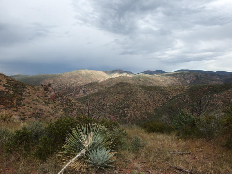
Light playing on the Red Hills
After the semi-circle the trail drops down to the north and there was a brief section of nastiness before more enjoyable ridge dancing. I felt like I was making good time now, though I had less than two hours of daylight left to travel a lot of distance. The drop continued into a small drainage, one that makes a torturous journey into a northern tributary of Sycamore Creek, and I took a short break next to the rocky creek under pine trees. I briefly looked for water and came up empty. If there is a seep or tank nearby, though, this spot seems like a great campsite for a multi-day adventure.
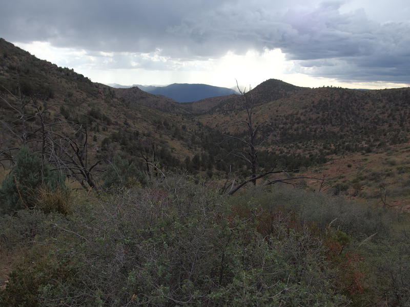
Dropping into a quiet valley
That break marked a change in the trail. For the next two miles I had to deal with small cairns, barely-defined tread, and thick overgrowth. There was a quick hop high up on the bank, though otherwise I was able to drop into the dry, rocky bed instead of hunting for tread. I did feel bad about not being more diligent on following the trail and tried to brush it away with the growing concern about time.
Climbing out of the tributary was not easy. The burst of energy I had from caffeine and snacks was fizzled out, leaving my legs empty for the mere hundred foot haul up to a saddle. Once I reached the top I was greeted by a wide view to the west, a fantastic view really, that also showed me just how low the sun was. I tried to push forward quickly, mentally checking and re-checking my situation to decide exactly how I should spend the night.
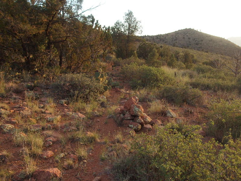
Last rays of light playing across the hill side
The last hour of hiking was a bit of a blur. I remember that the trail circled high around a valley, dropping slightly as it continued a roundabout western direction, and that it was in generally good shape with tall cairns, descent cairn, and only tall grass hiding the way forward. There was a difficult section that was spotted with mining pits, some dangerously deep, that were marked with cairns, and were difficult to separate from the trail's cairns in the half-light of the evening. There was a steep descent of loose rock that jarred and shook my tired legs. And then there was a saddle where I stopped, half-hour after the sunset, to collect my thoughts.
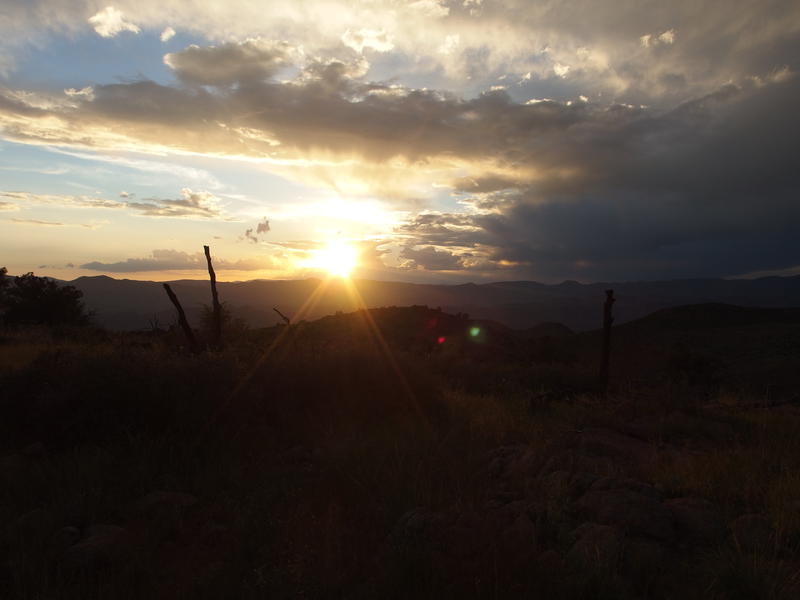
Goodbye, sun
Ten miles between me and my car, that was all. All downhill, over half of it on familiar terrain. I was exhausted and figured that, with breaks, those ten miles could easily take me five hours, so I'd reach the Jeep at midnight, and then would have four hours of driving before I got home. There was no way I could work tomorrow after a night like that. Plus, there were some unknowns along the way, including how to navigate the 1000' drop below my feet with a low-powered headlamp.
I checked in with Katie and let her know I was going to spend the night out here. There was a shallow mining pit nearby, I had a poncho and three liters of water, and it was much safer to finish the hike during the day. Once the decision was made and confirmed I felt a weight lifted off my shoulders. Moving quickly, I found firewood, cleared a spot from brush and sharp rocks, and stretched the poncho over the pit. It wasn't chilly yet so I curled up and slept for a few hours before waking up shivering.
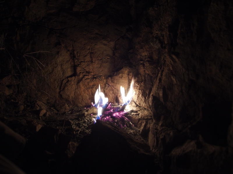
Huddled next to the campfire
The rest of the night was a steady repetition. Start a fire, build it up, drift off to sleep, and then wake up when it died out and I got cold. I was able to start it each time using the coals from the last go, which gave me a bit of confidence knowing that I had technically only used a single match for the whole thing. The ventilation in the pit wasn't that great, even with a wide open hole on top for smoke, which both soaked my gear with the thick smell of campfire and kept the mosquitoes at bay.
While it was a restless night, I did feel somewhat refreshed when I started getting up before five. It took awhile to stretch out my tight legs and damp the fire out to a point I felt comfortable leaving it. Dim light was beginning to filter from the east by the time I was ready to leave, almost, but not quite, enough for me to pack my headlamp away. Breaking a day hike into two days is never really part of the plan, yet having the good communication with my wife and the right gear made this bivouac painless. Now it was time to finish this adventure.


-
Jacob P Emerick
Nov 30, '18
Ha, I wouldn't recommend sleeping in one. Them pointy rocks are pointy :)
Add to this discussion