Isle Royale, Day 9: Thunderstorms over Rock Harbor
Several thunderstorms had passed over Moskey Basin during the night. These were the real thing: bright flashes of lightning ruining the darkness, bursts of thunder rolling over forested hills and water, and heavy rain dumping down on the shelters roof above me. Yet now everything was quiet. For the last hour or so I had lain awake, watching and listening to the dark night, and only a soft breeze shushed out there. When five rolled around I got up, packed my gear slowly, and headed out on the damp and muddy path.
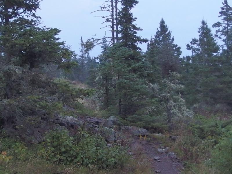
Dim light over the trail
Two hours later I was scrambling upon a slickened and sloped rocky ridge while cursing my hubris. Behind me I could feel the storm coming, booming thunder promising a heavy deluge, and I pressed on faster. I really didn't want to be caught out here in yet another downpour.
Back when I had left Moskey Basin I was also leaving my last 'Get out of Jail Free' card. The boaters from Malone Bay had docked there last night and offered me a ride to Rock Harbor. Instead I decided to head out on foot early this morning because I thought the storms were over (and I wanted to accomplish my planned route). The storms weren't over. By the time I came upon the trail junction to Lake Richie/Daisy Farm enough of a sprinkle was coming down to make me pull on a poncho. Twenty minutes later, after crossing my first slick-rock bluff in pitch dark under a steadily increasing rainfall, I stood under a cluster of trees and felt plenty of regret. Yet I continued onwards.
Oh, a few minutes out of Moskey Basin I bumped into a moose in the dark on the trail. He took off before I could get a photo. Moose number eight!
The path to Daisy Farm is less than four miles long. I figured I could reach that campground within two hours, refill my water, eat breakfast, and then continue east and maybe catch the sunrise over Mott Island. As I stood under the cluster of trees I began to realize that my estimates may have been too ambitious. This was not an easy trail.
Rising up from the forest was a low rocky ridge with molting patches of dead grass, each one sloping south, and the bare ground was slick as a broomball court under the rain. The path over the ridge was difficult to make out, cairns blending into their surroundings all but invisible to my headlamp. And then the short stretches of forest between the ridges, where I should have been make up time, was a series of muddy puddles and sharp rocks. No, this was not an easy trail.
I was as ready as I was ever going to be, though. My heels were bandaged with the last remaining band-aids from the kind lady at Windigo. I was wearing my base layer and a pair of shorts in order to move fast and stay cool. There was no point in hiking in my heavy and bulky rain pants to try to stay dry, as I hoped to be done by noon. A knee brace was already on my left knee. My pack was light too, close to the base weight of twenty-five pounds. There was only my calf, a dull ache in my right leg that I did my best to ignore. All I had to do was survive another twelve miles and I could give that calf the rest it needed.
Slipping along the ridge and splashing through puddles and stumbling over sharp rocks I slowly made my way east. The steady rain drummed against my poncho for close to an hour before slowly dying back down. Then I began to hear thunder. Pulling down the poncho hood and turning off the headlamp I looked back and saw, to my concern, a bright flash of light in the distant darkness. There are very few things that I fear more than lightning. With a quickened step I readjusted my gear and pushed on faster but, as the sky began to slowly gray, the storm caught up with me in a burst of wet fury.
A long, exposed ridge of a trail was not where I wanted to be right now, not with my trekking poles, which I began to imagine as little lightning rods. I tucked in and ran, following the path as it led over the rocks, and was dropped down into the woods where it ended. Wait, what? Buckets of water streamed down my poncho and face, thunder boomed and lightning flashed, and I made two tight circles trying to figure out where the path went before giving up. I planted the poles against a tree, walked a hundred yards distant, and cowered under a small grove of red pines. There was no way I could continue on safely in this.
As I sat there, wet and miserable, I began to trace back the poor life choices that had led me here to this storm. The most obvious choice I had made was to leave Moskey Basin this morning. I could have waited for the sunrise, which would have kept me out of this storm and away from night hiking, or simply just asked the boaters for a ride and skip the whole thing. Instead I had set out in the dark, hoping to make it back to Rock Harbor early enough to relax before the ferry left, and now had to deal with the wrath of Gitche Gumee.
More interesting choices lay further back. I could have cut my hike on Isle Royale short at Windigo and easily made it to Daisy Farm or Threemile last night. Being on Isle Royale itself was a decision made several years ago. Shoot, it all really just boiled down to waterfalls. If I never would have went waterfall hunting for my twenty-third birthday than this whole silly hiking thing never would have started, and the thought of backpacking on an island in the middle of this lake could have floated into some other poor fools head. It made karmic sense that I sat here now, rain thrown down upon me and streaming underneath, that it all started with waterfalls. It felt like I was under one now.
Eventually the dreadful storm eased off and the rain dampened down to a drizzle. With it the fear and doubt (again, lightning and I do not get along) was slowly replaced with a tenuous resolve. It was time to get moving again. I didn't leave Moskey Basin in the dark to spend the whole day feeling bad about myself under a grove of red pines. Reclaiming my lightning rods I backtracked up the ridge, found where I had lost the trail, and continued east.
The sky continued to light up to a dull gray-blue color and I checked my clock. Two hours of hiking. Even with the time spent cowering underneath the red pines I couldn't be that far from Daisy Farm. This is when I noticed a second storm rolling in behind me, the one I mentioned at the start of this post, and the thunder sounded many times more formidable. Oh, hell no. I set off at another run, making it across one long ridge and halfway through another before the sky opened up.
Moving quick and careless I fell hard twice before reaching the far side of the exposed ridge. With darting looks I tried to get my bearings, tried to decide if it was worth waiting out the storm here, when I noticed a sign post and trail junction not three feet in front of me. My glasses were too fogged and the rain too heavy to read anything so I dropped to my knees and felt for letters. The arrow pointed right, the top letter was a 'D', and the bottom number was either a '2' or a '3'. Daisy Farm was a few tenths of a mile to the right. I forced myself up and ran in hopes to find a roof to wait out the rest of the storm. Meanwhile, bolts and booms shook the air around me with intense frequency.
A river of fast water had replaced the trail. I didn't care. I splashed through, boots ankle-deep in the quick flow, knowing that it would take days for them to dry out from this. This was my last day, my all or nothing, and the only thing that mattered right now was reaching the campground. Visibility was down to a few yards in the heavy downpour and I kept my eyes downcast at the little river of a trail. A few boardwalks later and a camp map and outhouse showed up. I didn't waste my time with the map and threw myself into the latrine.
Outside the storm raged, thunder and lightning and wind and rain, but in the stinky outhouse it didn't matter. I felt strangely safe in the tiny building behind thin walls. I peeled off my poncho, dropped my pack, and took stock of things. I was thoroughly soaked and trembling from that final dash. My right knee had gotten tweaked in a bad way on one of the falls so I switched my the brace over. Otherwise I was fine, dripping wet yet fine. I had made it to Daisy Farm. And, if there was any luck, this would be the last storm for real.
When things finally slackened I re-donned my gear and headed out. The fresh post-storm air rushed at me after the stink of the outhouse, clearing out my nose and thoughts like an icy burst of wintergreen. Walking through the campground was a weird experience, everything dripping wet with newness and collecting in large puddles. I passed by a pavilion (Isle Royale campsites have pavilions?), some spur paths to shelters, and saw no one. When I reached the dock there was still no sight or sound that anyone else was even awake this morning.
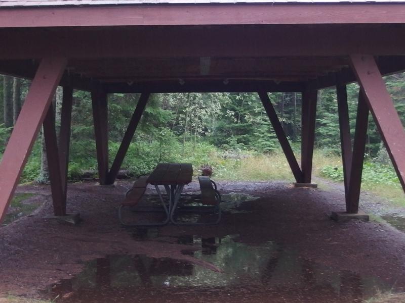
Water collected under a Daisy Farm pavilion
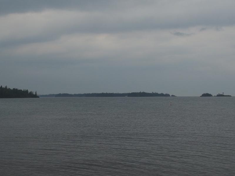
Boats sheltering at Caribou Campground
I looked out over the waters. By now the sun should be up, should be a good distance up from the horizon. Instead thick, dark clouds hid everything to the east. There were things in the immediate visible - a boat docked at West Caribou Island, Middle Passage (the southernmost opening to Lake Superior on Rock Harbor), a lighthouse on Indian Head Point - and above that was gloomy gray.
Breakfast could wait until I was further down the trail and, hopefully, the sky would brighten up. Before leaving the dock I pulled off my poncho and packed it in a fit of optimism. The storm was over and the drizzle was dying down. There were still some drops coming down, more from the overhead branches shedding than clouds, but I didn't care. I was about a third of the way done with the last Isle Royale hike and could afford to get a little more damp.
Several shelters sat along the trail leading out of Daisy Farm, some of them obviously occupied, and I slowed my pace a bit. Some company on the trail sounded quite nice, especially after my rough morning. No one stirred at any of the shelters. Either they were still sleeping or waiting to see if another storm would show up, the latter of which I would probably be doing right now if I had waited at Moskey Basin. I continued alone out of Daisy Farm along a trail that didn't have a single fresh print on it.
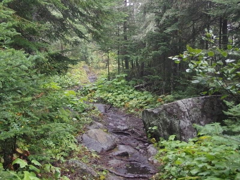
Wet med and wet rocks on the trail
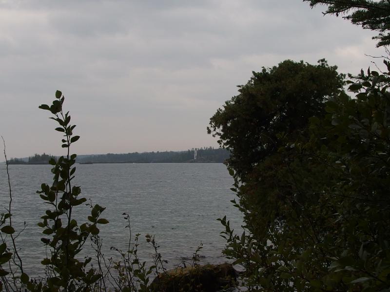
Lighthouse on Indian Head Point
Four miles to Threemile. The first few miles were easy strolls under thick forests of quintessential Keweenaw forest - stubborn rocky ground, mossy old pines, and clusters of thick brush. More interesting was just how close to the shoreline this trail was. Many views came and went out over the water and sheltering islands beyond. I kept a close eye on the islands, as they would serve as rudimentary mile markers on this hike.
First were the two Caribou islands. West Caribou had a campground and that docked boat and East is connected to the next major island, the park headquarters itself, Mott Island. I was excited to see the headquarters across the harbor. Mott Island stretches a long distance east and by the time I reached the next few islands, the Hills, I'd be at Threemile Campground itself.
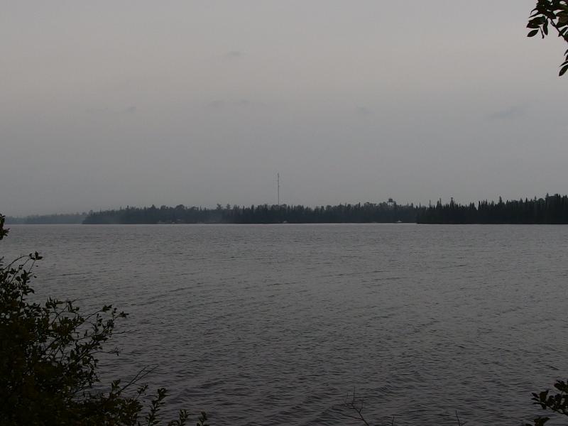
First view of Mott Island
I took advantage of the relatively flat and easy trail and cruised along with a quick step. I was worried about getting hit by another storm that would further delay me and figured that my best defense was booking it during the current calm. The ferry wouldn't leave until almost three this afternoon, giving me hours and hours to reach Rock Harbor, but I didn't want to risk it. If I lolly-gagged now and got hit by another storm and missed the Queen I would be pretty darn disappointed.
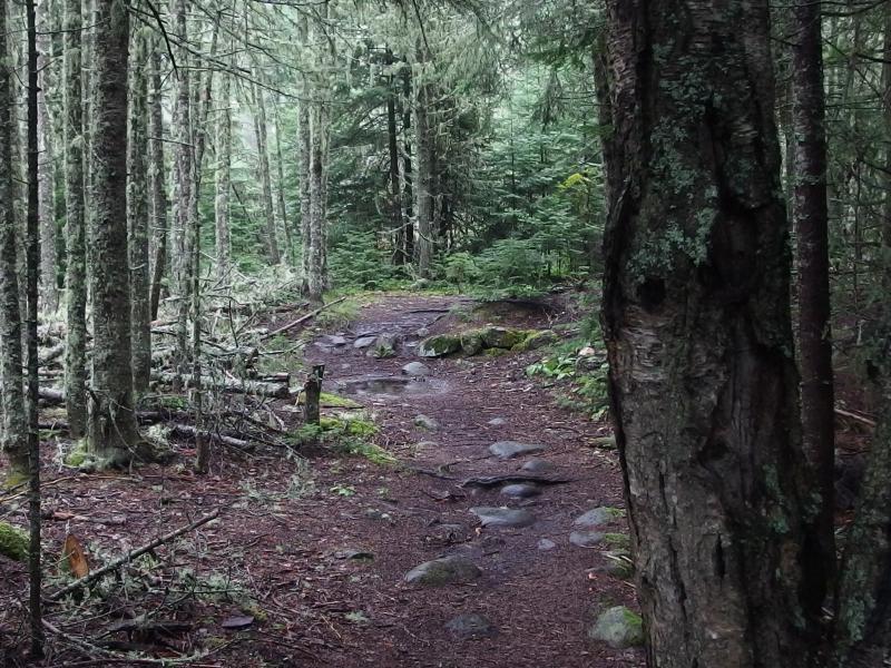
Trail through Siskowit Mine
When a sign showed up warning about open mining pits I was a bit surprised, not expecting anything of note on this leg. After checking the map I realized that I must be at Siskowit Mine. I looked around for anything interesting, curious yet unwilling to stray too far off-trail. There was a single shaft fenced off and plenty of blowdown further in that looked discouraging.
On the far side of the old mine was a decent lookout of Rock Harbor almost directly across from Mott Island. A view over the park headquarters was pretty neat, the buildings and towers and boats looking like a relative metropolis next to Windigo or Rock Harbor. A dull thumping noise ruined the view, though, either a boat motor idling over or a generator. I read somewhere that the rangers chose Mott Island to minimize their impact on Isle Royale proper and couldn't help but wonder about how much of their noise echoes across this harbor. Suppose that when they chose the headquarters they were only concerned about direct impact, not noise.
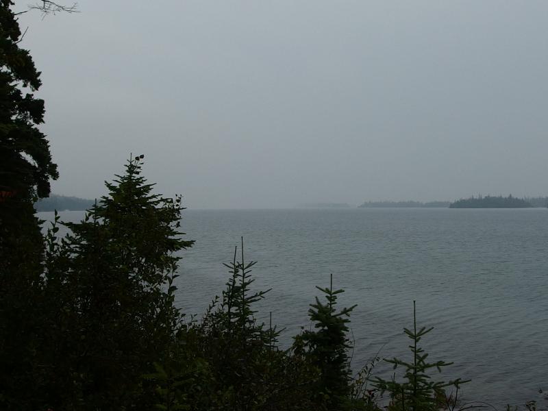
Haze over the waters of Rock Harbor
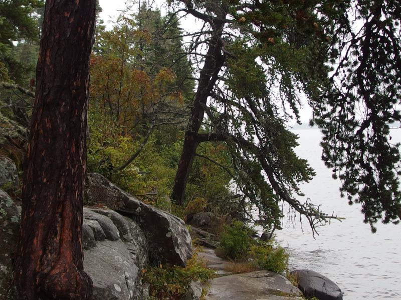
Risky trail next to the waters edge
After the mine and a little brushy cove at Starvation Point my route began to encounter more and more rocky ridges. Until now the toughest part of the trail had been tree roots and rocks pointing up from the dirt path. Now I had to climb along slick rock slopes and follow cairns in precarious directions. The long island was starting to fade away, the end in sight, and I began to look forward in the hopes of seeing Threemile around the bend.
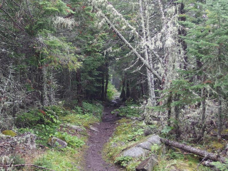
Moss and pines
The junction showed up before the campground. I stared and tried to figure it out. I guess the trail over to Tobin Harbor, and Mount Franklin beyond, doesn't actually go through Threemile. I had been over there on my first day on Isle Royale, ages and ages ago, and had used it to toil up to reach Lane Cove beyond. An interesting opportunity arose here - I could cut over on this and follow the Tobin Harbor trail into Rock Harbor. That would be familiar ground, an easy if muddy way back, and other hikers recommended that option to sticking to a 'tougher' Rock Harbor Trail. The appeal of the unknown challenge beckoned me, though, and I continued along the shoreline and skipped the easy path.
Eventually some shelters began to show up along the trail and I realized that I was at Threemile campground. There was more movement here, a slamming door from an outhouse and someone pumping water, and still no one on the trail itself. I slowed down here, meandering along until I bumped into a dock, and then dropped my pack and looked out over the bay. Five hours of hiking in and I was famished, having only eaten sparsely so far. I pulled out a large bag of snacks and tucked in.
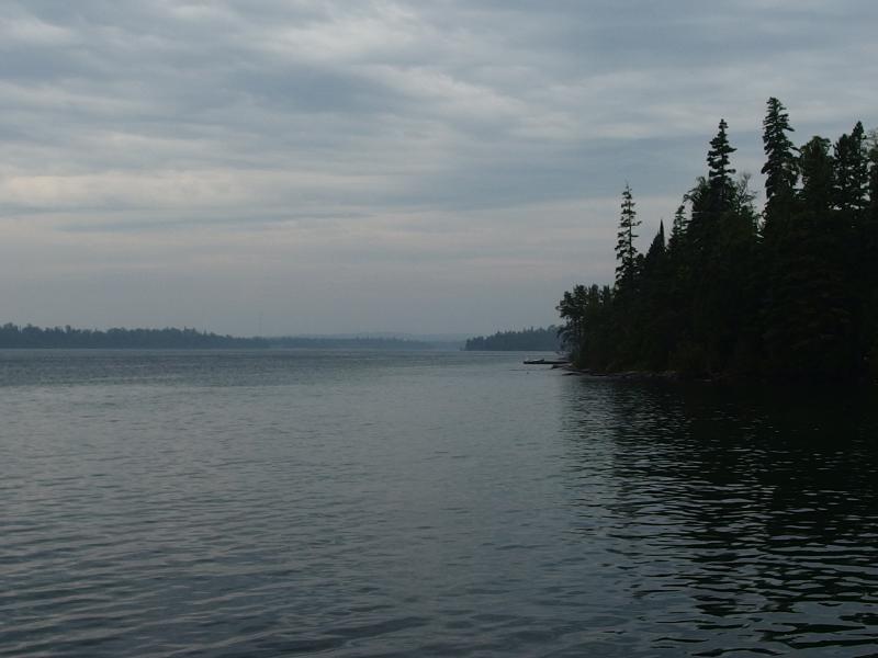
Looking west from Threemile
Fog was beginning to roll in and the waters were still gray and foreboding, but the skies above were beginning to show texture and, with a bit of imagination, I could almost make out some blue trying to poke through. The storms were done. Again I kicked myself for not waiting at Moskey Basin for sunrise, though there was no way I could have known that back then. Or maybe I deserved to get stuck out in those thunderstorms. My entire trip on Isle Royale had been blessed with good weather, especially for this late in the year. I know plenty of other good hikers who had come to the island and gotten pummeled by bad, then worse, weather, forcing them to make dramatic changes to their plans.
Just under four miles left. The ranger at Moskey Basin, as well as a few other hikers, had warned me about this section of the island, calling it the most difficult trail of the park. After Minong and Feldtmann and Malone Bay and even the slick rock outside of Moskey I found it hard to believe them. A few minutes after returning to the trail and I understood their claims; this shoreline is mostly just a long, exposed ridge, and the whole thing sloped down into Rock Harbor itself.
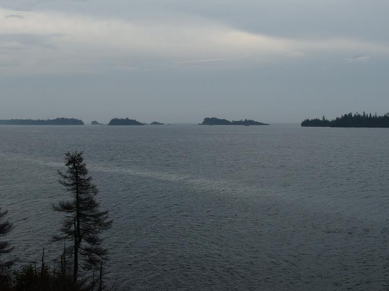
Looking down on the chain of little islands
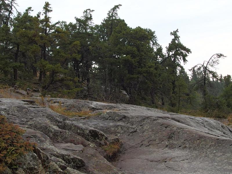
Slick rocky bluff
There were a few breaks from the slippery rock ridge. Short sections of dripping forest with mud and puddles separated long stretches of rock, which both gave me a break from my cautious pace and forced me to climb up and down a little roller coaster. On a few of these muddy sections I began to notice footprints from hikers ahead of me, signs that other people must have already be on the way to Rock Harbor from Threemile ahead of me, and I began to look forward to meeting them. I also fell hard a few times, once sliding sideways over muddy rock into a calf-deep pool. This may not be the most technical trail on the island but it definitely wasn't an easy stroll.
I've mentioned a few times now how slippery the rocks were. Isle Royale has a reputation for how treacherous their rocks can get when wet. I'm not sure if it's the lichens or the mud or even the glacial smoothing that make them so dangerous. Something does, though, and there were times that I wondered if solid ice would be easier to walk on than these rocky ridges.
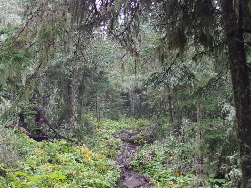
Still soaked forest
Soon I came upon the side trail to Suzy's Cave which connected across to Tobin Harbor. Another chance to cut off this sloppy trail, this time sprinkled with the chance to see a cool side destination, and I passed it as well. For as tough and slick as this trail was the beauty of the surrounding woods and open views over Rock Harbor made up for it. Shortly after the trail I passed by the first group, a father and his son, and then a few yards further there was an entire family who asked for a photo. Both groups had come from the last campground and had great things to say about the morning storms. I held my opinion back and continued past.
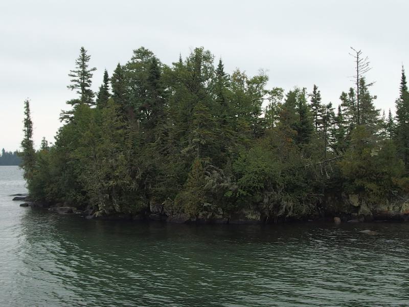
A tiny, unnamed island on the way
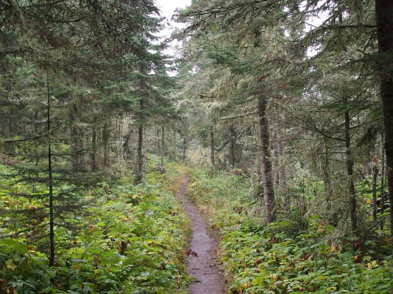
Easy trail walking
It took just over an hour to reach Rock Harbor from Threemile. The last few hundred yards was a tease, an easy footpath that held no view or reference points, and it wasn't until I came upon a few shelters that the realization settled in. I had made it. Six hours of hiking through darkness and storms and a sloppy trail and I was finally done. As I stepped out upon the dock the sun finally came out, almost as if to mock my gloomy all-morning adventure.
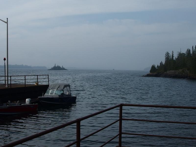
Sun over Rock Harbor
Time for errands. I had almost four hours before the ferry would leave but was aware that the longer I waited the busier this dock would be. I picked up my day bag from the lodge and then settled down to my last meal on the island, a quick breakfast that I had been pushing off since Daisy Farm. Then I went to return my itinerary to the park office and 'check-out' from the island. I was surprised to see the same ranger who had approved the route over a week ago who had questioned and clucked over the distances. She asked if I had kept to it, I said yes, and she set the paper aside without ceremony.
An overlong shower, dropping off the remaining gas and matches at the shop (airplanes don't like explosive or flammable things), and shuffling of gear came in quick succession. I really didn't want to open up my backpack until I reached Copper Harbor. My clothes and boots reeked like something had died in them. Then I sat on the dock and waited. The sun continued to burn away the light clouds overhead as I sat and chatted with a few others.
Sometime after noon the roar of the Queen IV announced its arrival and I enjoyed watching the fresh faces depart. They all looked so darn clean and rested. After they were on their way I wandered around, wondering if they would allow an early passenger who only wanted to sleep in the fore cabin with his gear preloaded, but the crew looked too busy to put up with me. I slowly headed back to my gear and pulled out a book to read.
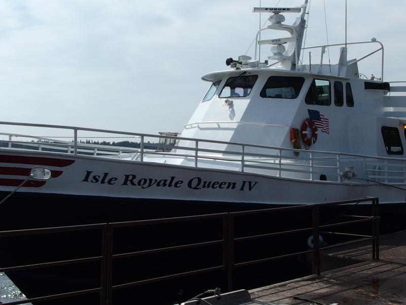
Waiting on the Queen
Another boat showed up after the Queen… The boaters from Malone Bay and Moskey Basin! I had beat them here. I wandered over and we chatted for a short time, though the men seemed to be in a rush to gas up and head back out. It was good to see the familiar faces and to know that they had survived the storm. Well, I'm not even sure how rough waiting out a storm would be while tied to a dock. They may have barely noticed it.
After the boaters I noticed another person standing on the dock. Well, if it wasn't the rock climber from Madison! He was even more surprised to see me, thinking that I had left yesterday. After Windigo he had headed out to Huginnen Cove and camped at the same site I had, Site 1, for a few nights. He had the whole campground to himself and went on a few small hikes along the loop before taking the boat back around to Rock Harbor last night. I briefly brought up some highlights of my trip, especially Malone Bay, though he only seemed vaguely interested. In one of our earlier chats he had brought up that he wanted to hike every mile on the island and was slowly knocking out segments on different visits, but I think his ankle injury was putting a damper on some of the longer treks, like the climb in and out of Malone Bay.
Oh, and I learned an interesting thing from a ranger. The rock climber and I headed over to the station and I asked them about Malone Bay. That location and area was really nice and I didn't understand why they didn't cut a trail connecting it to Chippewa Harbor, the same area I had thought about bushwhacking through, in order to make them more appealing destinations. Both of those campgrounds are dead-ends. She explained that they try to keep that area more for kayakers and, after looking at a map, I got it. A boater could make a nice portage loop there: Moskey Basin, Chippewa Harbor, Lake Whittlesey, Wood Lake, Siskiwit Lake, Intermediate Lake, and then Lake Richie. I'm not sure how far a kayak could travel in a day with the portages but there was plenty of water-accessible sites on the way and someone could make a good week out of that loop without bumping into too many backpackers.
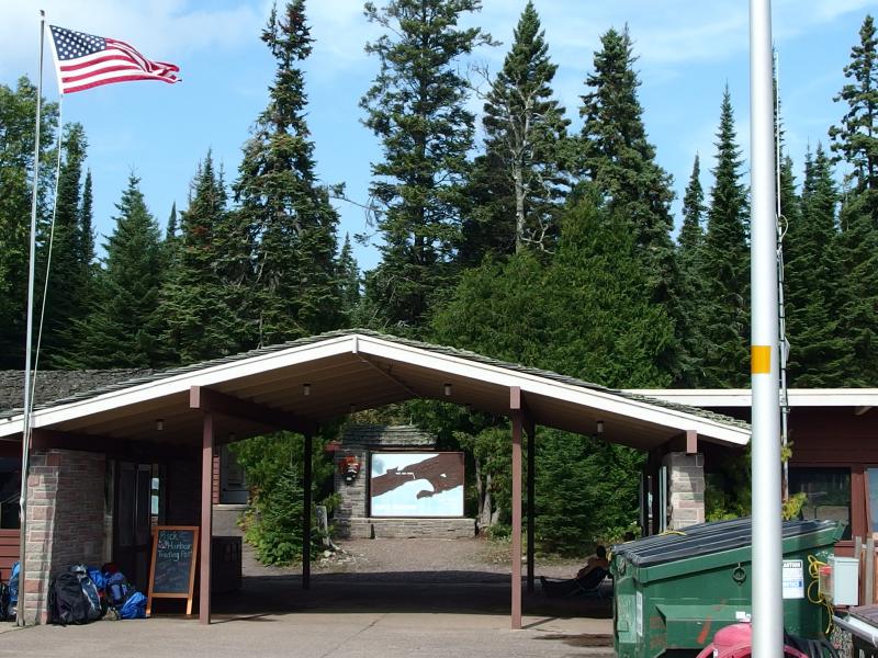
One final look at the gateway to Isle Royale
Upon leaving the station I chatted some more with a friendly couple who had hiked the east end and the Madison rock climber before the boat began to load up. It would be a full journey. Communication with the mainland was down and the planes weren't flying, adding a few dozen stranded people to an already busy Labor Day weekend boat. I was happy to see some free benches in the quiet fore cabin and quickly sprawled out. As much as I wanted to stand on deck and watch the island pass us by I wanted to sleep more. When I woke back up we were within thirty minutes of Copper Harbor, passing by a huge freighter who blasted us a greeting .
And that was it. Somehow, someway, I had survived Isle Royale, hiking over a hundred and thirty miles over nine-ish days. The journey took its toll on me. It would take several weeks before I was fully recovered, and even now looking back at the last stormy night hike sends cold chills down my back. Eh, like I said before, I probably deserved that. At least I managed to get the whole route done. There have been too many adventures, from Mulligan Plains to Mountain Lake to the McCormick Tract, that I fell miles short and left beaten and regretful. Not only did I get to see almost the entire island, I managed to get the whole, stupidly ambitious, route done.
There may be another post about lessons of Isle Royale and future plans and gear changes down the road, but I did want to finish this series on one unexpected finding out there. The people on the island, hikers and boaters and rangers (mostly), were amazing. I set out as a fledgling solo backpacker and met dozens of helpful groups, people who shared advice and supplies and sometimes just good conversation, and never felt lonely. Sure, there were quiet trails and empty campsites, yet I seldom wanted for companionship for too long. These people made the trip, made a wild and rustic island feel more human, and I they became just as much of the experience as the rocky trails and moose encounters.

-
Jacob Emerick
Oct 7, '15
Thanks sir! And yes, the thunderstorm very unpleasant. At least it made for a... memorable... ending. The rest of the adventure was incredible. Hope to read about your Isle Royale backpacking next year, eh?
Add to this discussion-
Jacob Emerick
Oct 7, '15
:)
Add to this discussion-
Jacob Emerick
Oct 11, '15
"Daisy Farm Blues" - ha, yes! I was thinking about your posts while I was hiding in the outhouse, should have mentioned that in the post. Seems like the wrath of Isle Royale was waiting for me to go through that campground.Wiping out was pretty frustrating. On one hand I was in a rush, worried about reaching Rock Harbor and not wanting to get stuck in another downpour, but I also think I was just getting sloppy. Could have been the miles or the length of the trip, but yeah, I was not being as careful as I should have been. Or I could just blame it on old boots :)Next trip? Ha, maybe. I have a few bad habits to break before I can promise a relaxing trip. The solo nature of this adventure probably made it a bit more extreme. Hiking with someone would have slowed down things and made long rests and afternoons at a campsite more appealing. But anyways, thanks :)
Add to this discussion-
Jacob Emerick
Oct 14, '15
Howdy RB, and thanks! You should definitely think about taking a trip out there... It is really something. Though there are some areas in the Upper Peninsula that are more scenic, the utter remoteness and feeling of hiking day after day without hearing a car motor or seeing a road is wonderful.Your idea is solid. Will try to put something together over the next week - I'd love to share some ideas for shorter loops on the island. Thanks!
-
dcclark
Oct 15, '15
I second RB's idea; I'd love to see your suggestions for good (shorter) hikes.
Add to this discussion