Rainy Supe Loop: Cold Drop to JF Ranch
Ice cracked and shattered off my tent's rainfly in large, unreal chunks. If I had any question on how cold it was this morning before getting out of my comfortable sleeping bag the ice chunks gave me a clear image. This wasn't a bit of sparkly frost or some clothes that were left out and stiffened over night - this was the real deal. It was well below freezing and my tent, as well as any spot that water could collect in the desert around me, was completely iced over.
Last night was a rough one. The rain started around 6:30 PM and sputtered along for a few hours, enough to seep around the edges of my tent and re-dampen some of my gear. If I stayed curled up in my sleeping bag, keeping my feet and head away from the ends, I stayed dry, though that left me smothered away from the air vents. So I slept in twenty minute spurts, reading and munching through the longer awake periods, and was more than ready to get up and move when 5 AM rolled around.
The inside of my tent was frigid enough to convince me to put on practically every piece of clothing I had. I still shivered uncontrollably when I stepped outside. The faster I got my pack on and started down the trail the warmer things would be, so I let my teeth chatter as I quickly packed my gear and shoved everything away, remaining ice chunks and all. For a few seconds I debated on whether or not to wear my down jacket today, easily my most expensive and fragile pieces of clothing out here, and decided that avoiding hypothermia was more important than a few repairable rips from catclaw. Wearing a balaclava, gloves, down jacket, three shirts and two pants, I threw my wet-heavy pack on and returned to the trail.
Five yards later and I stopped and stared. I was at Tortilla Pass, at the junction of Roger's Canyon and JF Trail. After all the unknowns from yesterday I didn't really know where I was starting from or if I had missed this junction altogether. Well, here it is. Going down to Roger's Canyon wasn't really an option any more - it would add ten-plus miles and a lot of elevation - but at least I knew where I had camped last night. I continued on the JF Trail instead, following a canyon downhill to the south.
Hints of the too-distant sunrise
After some time the eastern skies began to slowly glow with the coming dawn. I wasn't doing terribly bad. The balaclava wasn't quite warm enough, but my gloves and jacket were working great. The trail was a bit overgrown with catclaw that occasionally reached out to snag the down jacket, forcing me to carefully back up in a few places that I would normally just storm through. While I wasn't making great time I was staying warm and moving forward, two things that made my early morning start worth it. It beat laying sleepless in a tent, at least.
The trail followed a lush canyon down from Tortilla Pass between an unnamed hill and the shoulder of La Barge. That mountain wasn't quite in sight yet, and I wasn't sure if I had even seen it yesterday. Maybe it'd be more visible once I get lower down. The trail was steep and washed out in sections, sometimes switchbacking and sometimes tumbling directly down, and then it committed to the western bank. Once things started lighting up some more I began to see more frost on the surrounding growth, signs that it wasn't just the heights of Tortilla Pass that got cold last night.
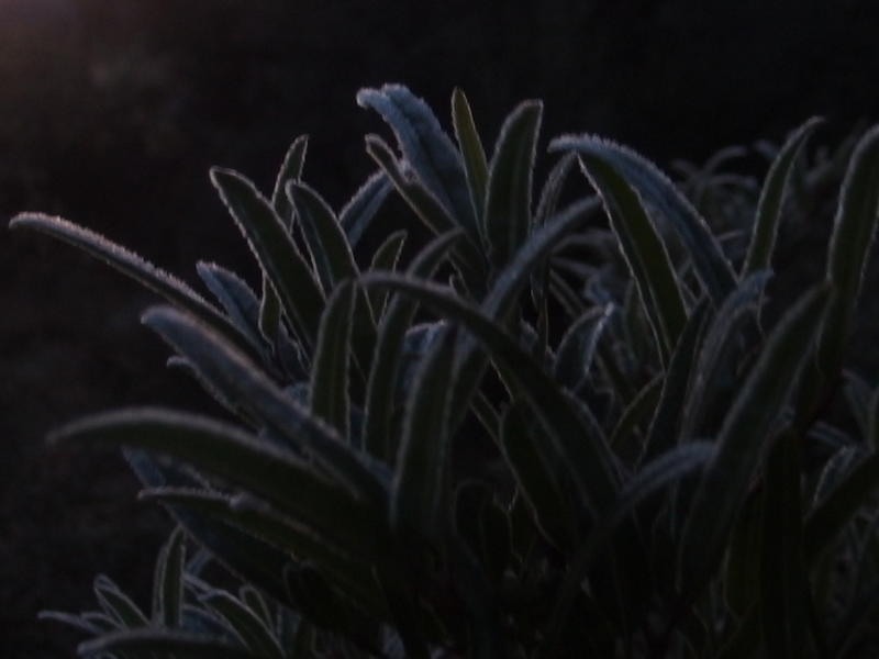
Cold frost on the trailside growth
Stubborn sun hiding beyond the distant hills
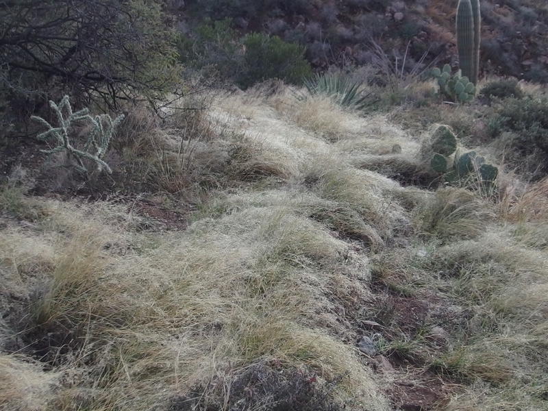
Ice weighing down the grass over the narrow path
Once I got out of the canyon and onto the western hill the trail changed from overgrown clawing brush to cholla trees and lush grass. The grass was surprising, given that this south-facing bluff probably sees a lot of desert sun during the summer. Maybe this little basin catches enough rain to support some normal vegetation.
I continued downhill and thought about my adjusted plan for the day. Because I skipped out of Angel Basin and Roger's Canyon things were a lot more simple. All I had to do was follow JF Trail down to the Woodbury Junction, turn right to JF Ranch, and then follow Fraser Canyon and Coffee Flat Trail west to Miner's Needle and Peralta Trailhead. There would be almost no elevation gain today and I'd get to spend a lot of time in a desert wash with plenty of spots to pump water. Fourteen miles or so left of easy hiking and I'd be back home to Katie and the kids.
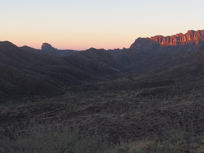
First hints of light on a distant ridge
As the sun began to shine on the distant of rises of Coffee Flat Mountain (which, good grief, that thing looks imposing) I reviewed the trip so far. Even with fourteen miles left, the downward slope and easy route ahead, combined with the clear skies above, left me feeling like the worst was behind me and I was 'almost' done. I really misjudged how much I could cover this weekend. Angel's Basin would have added ten miles to the trip, and given that I had basically been hiking from sunup to sundown that was distance I completely failed on.
Peter's Mesa had really messed me up. The storms and route-finding up there had put me seriously behind schedule. Those storms weren't in the forecast, which made me feel a little better at the unplanned delays, and the compromise to stop at Tortilla Pass (even if that was luck) did seem like the only reasonable option. Still, I was a bit disappointed. After the twenty-plus mile days on Isle Royale I had expected to cover more distance on this trip. Perhaps I can try another challenging route under better conditions in the coming months, make my way further east to the lands beyond Fish Creek that I had eyed up yesterday.
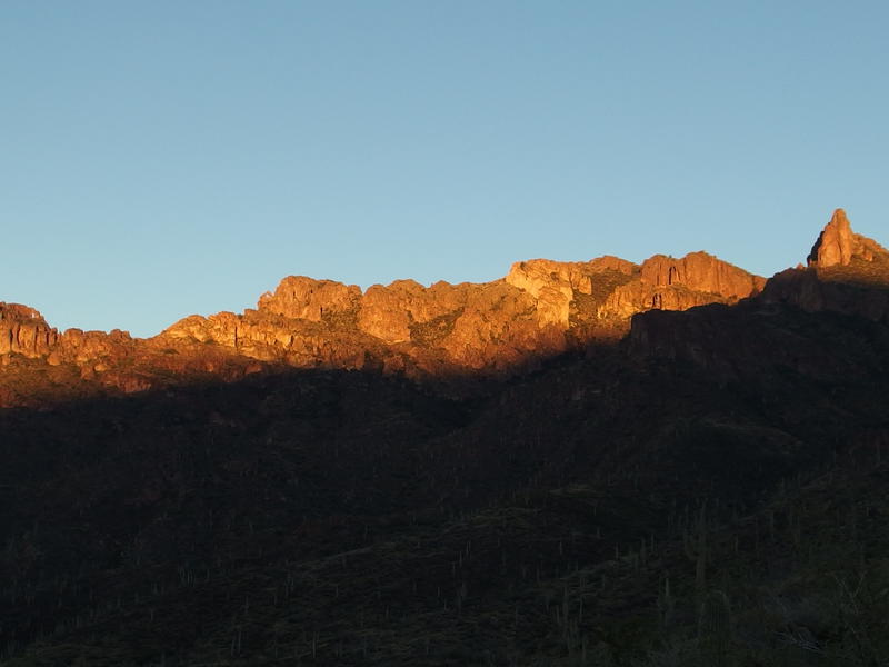
Early light on La Barge Mountain
The sunshine made its way onto the mountains behind me, back up where I had started from this morning, and I stopped and stared. So that's La Barge Mountain. That thing is huge. I must have completely missed it yesterday in the clouds and mist. Climbing that thing would be a heck of a challenge, with all the different peaks and ridges along the top. From this angle I couldn't even make out where the true top was, if it had one.
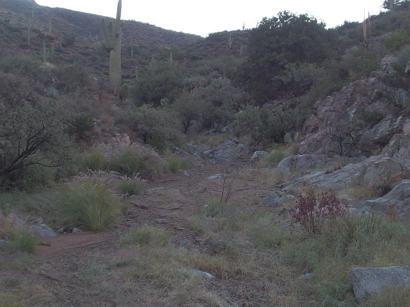
Sandy floor of Randolph Canyon
Once I stumbled into Randolph Canyon it was time to pause and look at the map. I was only vaguely aware of what wash this was, let alone where I was supposed to go from here. For a brief moment I thought I was in Fraser Canyon and it was time to turn west already. Sure, Randolph did lead in the same direction, and the wash seemed clear enough to make for easy hiking, but I didn't want to cut anything else out today. I turned east with JF Trail and stayed the course to Woodbury.
There was a great campsite near this spot, right when the trail crosses the wash, which would have been great for last night if I had kept hiking... three hours past the sunset? Shoot, forget that. It had been late enough when I finally stopped. I pushed past the campsite and started to play hide-and-seek with the sun, which had finally pushed over the hills and began to shine down onto the trail.
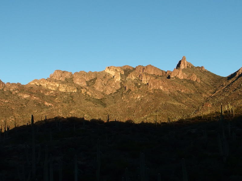
A fully lit and impressive La Barge Mountain
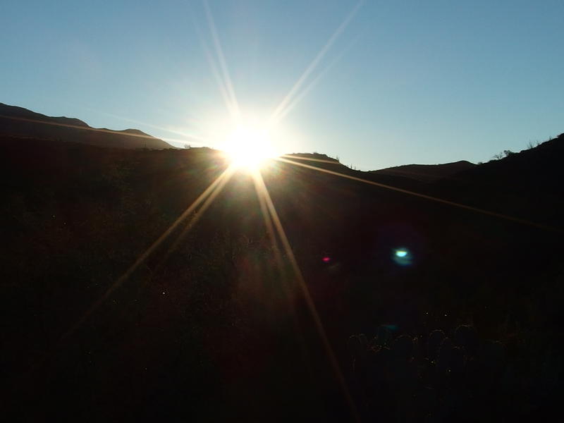
Blinding sun poking up over the horizon
Sunshine felt good, even though it wasn't warming yet, and I stopped briefly to take off my down jacket. I didn't want to start sweating through the thing and render it useless. It was still below freezing, or close to it, because even the grassy sections on the lit up hillside was covered in frost, yet I was moving fast enough to be warm in three measly shirts. I cruised along the trail, winding up and down and left and right, looking around anxiously for any sign of Woodbury and the upcoming trail junction.
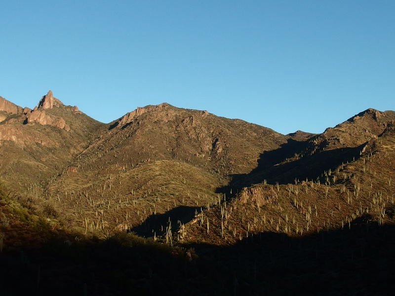
Shadows still hanging onto the distant saddle
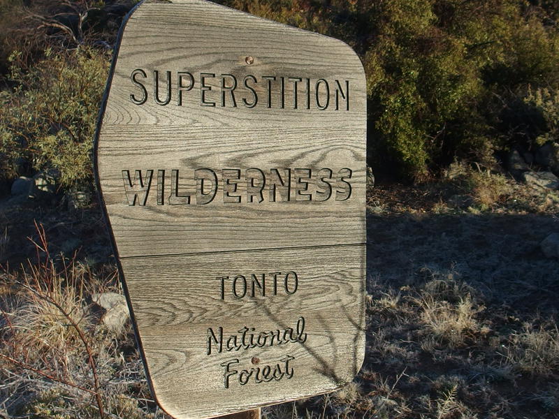
Finally, the southern edge of the Superstitions
It was just after eight by the time I bumped into a sign for the wilderness boundary. I didn't expect to bump into the boundary, had thought that Woodbury was within Superstition Wilderness, and a quick check with my map verified that it wasn't. Huh, land boundaries are weird. My stomach was starting to growl and I pushed that thought away. No breakfast until JF Ranch. I pulled out another munchie and gnawed on it as I peered ahead, curious how much further until this trail junction showed up.
A few minutes later and the water tanks showed up. Another thing I didn't expect. The only mark on the map was for a cabin, not tanks or windmills, and was again confused about where I was. This looked like a ranching operation, not a cabin near the boundary of a national wilderness. I wondered if I missed the trail junction down to JF Ranch.
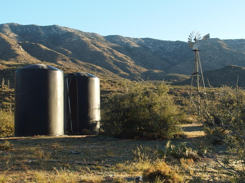
Tanks and windmill at the site of the old Woodbury Cabin
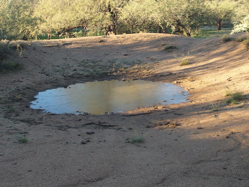
Minimal water in the trough
I wandered past the small trough and pool and pulled out the map again. While I didn't like second guessing so much the thought of a warm breakfast at the ranch made me want to keep aimless wanders to a minimum. There wasn't any mention of water tanks on the map. Based on the surroundings I made a guess and followed a small path past the tanks and up a tributary of Randolph Wash. The path soon devolved into a cattle trail.
Unwilling to give up quite yet I continued east, crossing and re-crossing the rocky wash, looking around for a cairn or defined path. Getting lost wasn't a huge concern, not with FS 172A a mile or so to the south to fence me in, but it sure would be nice to avoid hitchhiking back to Peralta. No trail showed up. I kept La Barge Mountain in sight behind me, looking back every once in a while to keep orientated, and then noticed a cut in the hill to my right.
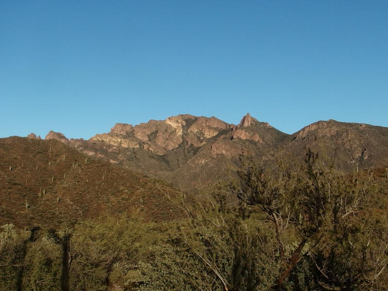
Back at La Barge Mountain
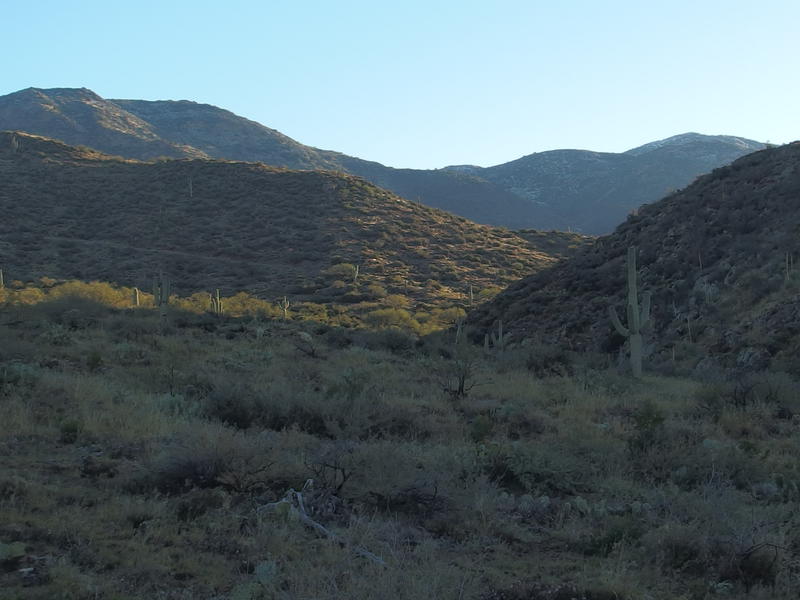
Confusing hills and possible distant trail
There was a trail (or road) to my right, which meant I was too far north, along one of the upper tributaries of Randolph. I was off trail and heading in the wrong direction. I turned around and retreated back to the windmill. That was the last place I had seen a trail worth trusting, the last place I had seen a cairn, and if I needed to I would track all the way back to the wilderness sign.
Weariness was beginning to seep in to my legs. After all, I had skipped dinner yesterday, had a poor night of sleep, and was burning a ton of calories just trying to keep warm. And now I was wandering around, half-lost, backtracking. My early morning motivation had worn off and I trudged on to the windmill. A simple glance to the side and I saw the trail junction, just beyond the water trough. I had been within fifty feet of the darn thing.
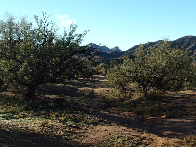
Back at the trail split
This junction is technically two trails crossing each other. JF Trail goes north and south, from Tortilla Pass down to Woodbury Trailhead, and the Woodbury Crosscut goes from a pull-out on FS 172A over to JF Ranch. Which means that JF Trail never touches JF Ranch and Woodbury Crosscut never touches Woodbury Trailhead. I don't get it either. I didn't worry about it too much and just turned off of JF and followed Woodbury a few minutes west until the trail crested down to Fraser Canyon.
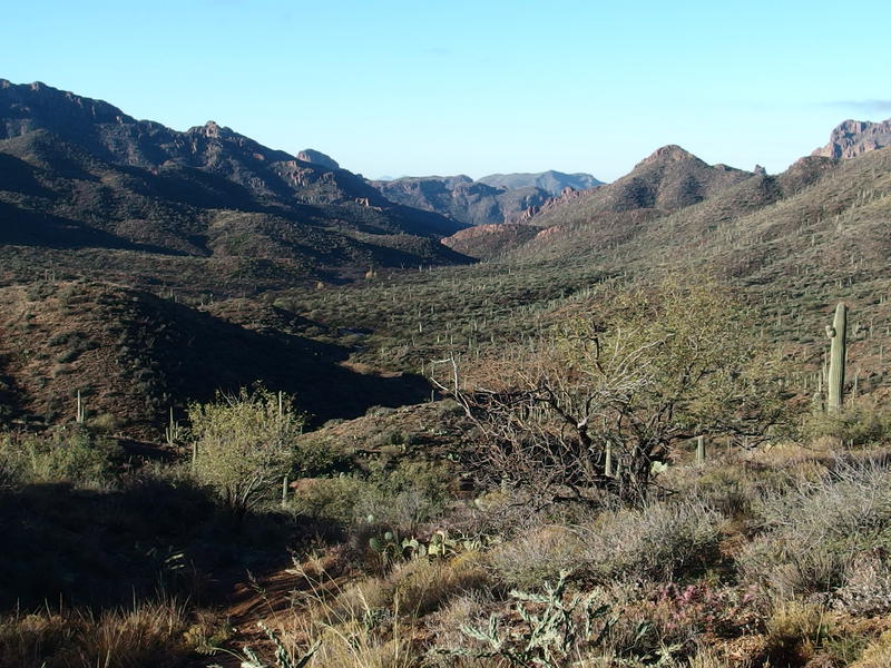
Down on the ranch in the canyon
A long downhill section lay in front of me, and with some imagination I could make out a windmill where the ranch may be. I ambled along and started the descent. Most of it was easy enough over switchbacks though there were a few parts of solid rock with loose gravel waiting for careless hikers. Taking my time, both from tiredness and cautiousness, I made it over without mishap and admired the geography around me.
Fraser Canyon drops fast and hard, starting from nothing and quickly becoming a wash with enough water to (apparently) support a still-functioning ranch. A few hundred yards away is another drainage, Randolph Canyon, which probably hogs much of the water coming down from the northern mountains. So why does Fraser even exist? There are tall ridges on each side which may gather enough water to feed down. More likely is that the Fraser is here because of the ridges had a gap in between. Randolph, which has a watershed reaching up towards Roger's Trough and gathers anything coming down from the north, is probably much more active and was more carved than formed by the land.
Speaking of Randolph - that was a missed opportunity. If I had followed that wash downstream I would have saved over an hour of wandering around Woodbury and may have been very close to Red Tanks already. Eh, oh well. I wasn't pressed for time today.
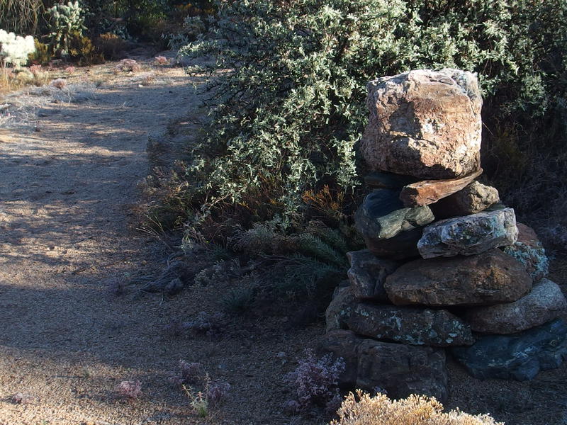
Giant cairn along the path
Down in the canyon the trail jumped in and out of a sandy wash, huge cairns marking the opposite bank. These cairns were interesting. I've seen some like this, made of boulders that make my back ache just looking at them, out in the Red Hills by Needle Canyon, and I suspect that they predate the formation of Superstition Wilderness by decades or more. They could be old ranching or military trails. Either way, it felt older than many of the paths I had been on this weekend, as if I was walking a trail that had more meaning than just another hiking path.
After the first crossing the path stayed up on the south side of the wash, staying mostly level for a good long time, and then suddenly merged with a two-track. Didn't expect to be walking a track today. There was no other obvious direction to go except west, so I followed it until I ran into a gate and a small ranch house. The JF Ranch headquarters, to be exact.
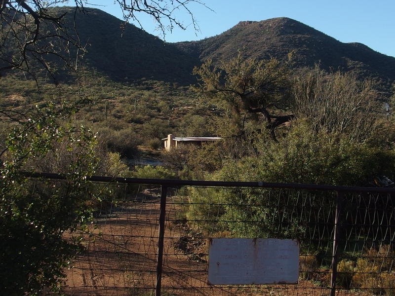
Looking over at the tiny ranch house
The house was single-story and unassuming, with a few barns and sheds around it. If I'm not mistaken, this ranch once owned land straight up to Tortilla and all the way over to Reavis, so I was surprised that it wasn't more impressive. I took a single photo and then meandered over to a wire gate with a 'Please Close' sign that I guessed was the continuation of my trail. It wasn't until I had passed through the gate and followed a humble dirt path that it was obvious that I was on Coffee Flat Trail.
An odd fence followed us for a while, made more of sticks wired together than anything else, and I wondered where the ranch had found so many sticks. There didn't seem to be enough trees growing around here for that many straight branches. The fence gave way to more typical barbed wire, though I never did see any animals on the other side. They might be hiding in one of those barns for warmth over night.
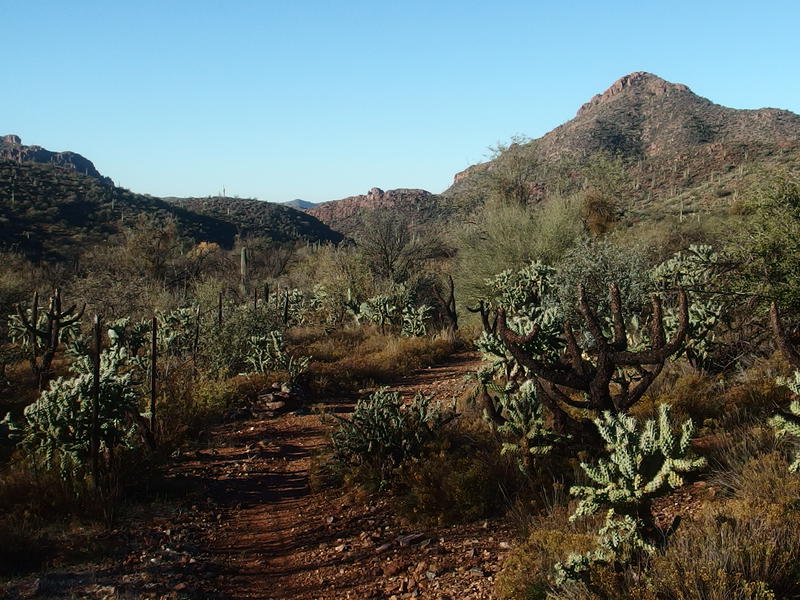
Plenty of cholla along the path
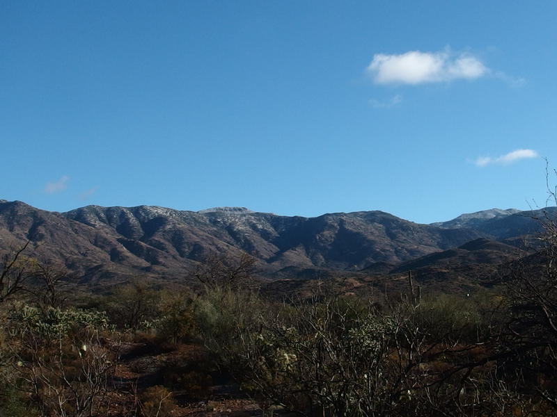
Distant snowy mountain behind
I kept walking for fifteen or so minutes beyond the ranch, both to avoid awkwardly making breakfast near their driveway and to find a decent spot to sit and rest. When a small rock showed up that was just large enough to sit on I dropped my pack and stopped. I'd been walking for over four hours and was in desperate need of some hot coffee and oatmeal. With little hesitation I got the water boiling, started munching on some granola, and got my first good rest of the day.


Comments (0)