Morning Ascent of Bluff Spring Mountain
There is a valley on top of Bluff Spring Mountain. It is a long valley, carved by a seasonal creek that starts near the peak, runs between towering ridges, and then pours down an impressive waterfall. The mountain and the valley are within a few miles of Peralta Trailhead yet are not directly accessible by trail. In fact, to reach the valley it is recommended to plan out a two or three day backpack. I didn't have that much time. Katie was kind enough to give me a dayhike with only weeks to spare before she was due with Charlotte, so I would have to be a bit speedy if I wanted to visit Hidden Valley on Bluff Spring Mountain.
Dark skies over Gold Canyon
A sharp breeze blew in from the east, cutting through my layers of clothes and chilling the layer of sweat underneath. There was hours of darkness before the sunrise and it was downright cold, somewhere close to freezing, and this wind didn't help. At least the trail was steep enough for me to work up some heat. I was climbing up the Cardiac Hill portion of Bluff Springs Trail, which is a 500' climb over a half mile. If it wasn't for the exposure to that breeze I'd be tempted to shed a layer. Instead I pulled my wool hat lower, tucked into my sweatshirt, and pushed onwards to keep warm.
There was a handful of vehicles parked back at the lot and I wondered if I'd see anyone out here this morning. True, it was stupidly early to be out hiking, especially during the Arizona winter months. Few hardy dayhikers will head out before the sunrise during the summer let alone this time of year. Instead, this is prime camping time for the Superstitions. Perhaps I'd see a few tents along Bark Canyon or near Bluff Spring, or even in Hidden Valley itself. It'd be nice to get some additional local knowledge about the history of this area.
Dark pools of water along the trail
Once Cardiac Hill was behind me I followed the path up Bark Canyon, which channeled the cold air with an efficiency I did not appreciate. Things were beginning to level out so I tried to push faster under the dim light of my headlamp. There's been a lot of rain this winter and the canyon, which is normally dry, was gurgling and pooling and forced me to make a few long hops to stay dry. That's one of the reasons I chose to do this hike today - everything was flowing so well that the waterfall on the end of Hidden Valley just had to be running. I followed a damp sandbar along the canyon for a ways before the trail picked up another few hundred feet to the Terrapin junction.
I've been on this trail enough times to not worry too much about the views that the darkness concealed from me. There was a good overlook of Weaver's Needle up here, plus a ton of hoodoos and the stark cliffs around Bluff Spring. The only thing I've missed is the Peralta Stone, a key piece to the Lost Dutchman story. Eh, if I stick to my planned route then I'd be taking this trail back out anyways and could always hunt for the stone in the afternoon. I passed the Terrapin junction, climbed up a shallow saddle, and then followed the creek at the bottom of Bluff Spring Canyon.
Scary bush or hiding muppet?
When I reached the old camp at the beginning of Ely-Anderson I was feeling pretty good. I was on schedule, my knees were only hurting a little, and the morning snack was sitting happily in my stomach. Over three miles down and only… Shoot, maybe a dozen to go? Hard to say. I made my way through the camp, hauled out my GPS, and began hunting cairns up the yellow shoulder of the mountain.
See, all morning I had been lucky enough to be on a maintained trail. Bluff Spring Trail is an official and well-traveled route that doesn't even need cairns. There had been few tricky spots to navigate in the dark. Now I was taking Ely-Anderson up to the top of Bluff Spring Mountain, which is a historic path that some ranch hands found a century ago and is nowhere as simple. It switches back and forth up the steep yellow rock, old cairns hidden by swaths of cholla trees, and there is barely enough room to squeeze between some of the cacti. My pace slowed considerably and I noticed the sky beginning to light up with some concern. I had started so early and made such good time up to here and had hoped to reach the summit before the sunrise. This route-finding was not helping.
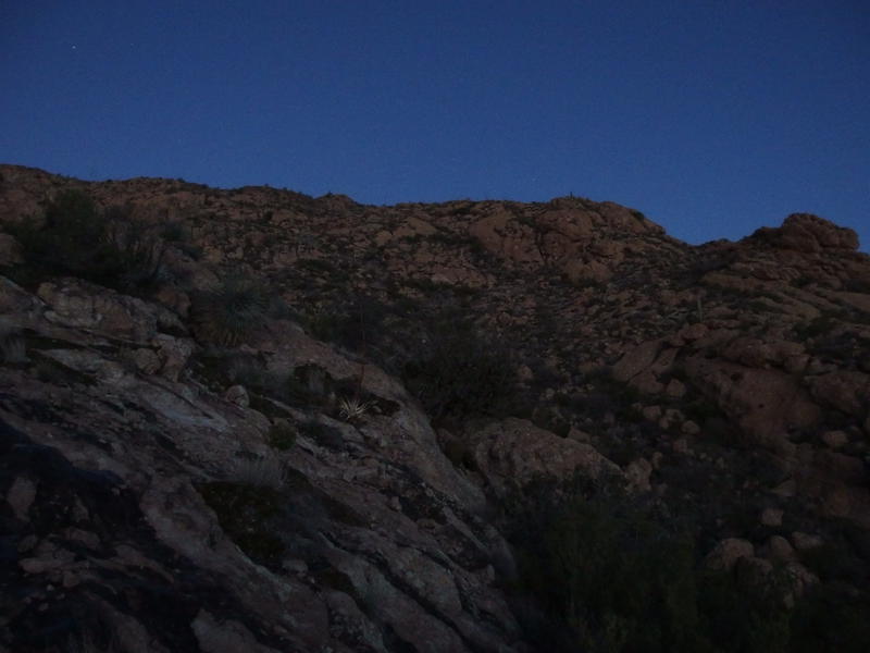
Dim light along the Ely-Anderson Trail
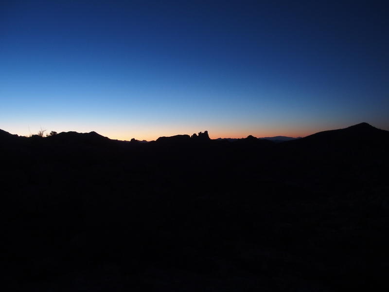
Slowly waking light over Miner's Needle
Keeping to the cairns at times and using the GPS to guide me when I lost the way, I hauled up the mountain. There were boulders to climb over, cactus to dodge, and a few loose sections that I slid through. When the daylight grew strong enough I turned off my headlamp, and when the steep grade created a fresh layer of sweat I unzipped my sweatshirt. I'm not sure if it was the rough going or looming dawn, but this section of the hike seemed to take ages.
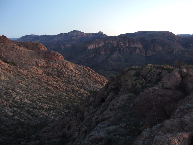
Sharp canyon north of the springs
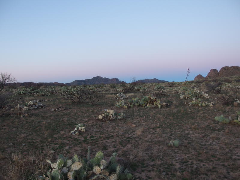
Flat land on top of Bluff Springs Mountain
Eventually I crested the climb and stood upon the flat mesa near the peak. The elevation here is just under 4000' and the vantage is incredible. Most of the Superstition Ridgeline is visible, as is the nearby Weaver's Needle to one side and Tortilla Peak to the other. It also looked like it had burned recently, which was bizarre. There's barely any vegetation in the desert, and the stuff that's out here is spread out, so I can't imagine how a fire would sustain itself long enough to char an entire mesa.
My legs were tired and angry, having climbed several thousand feet before the sunrise. I tried to push them on. Only a few minutes were left before the sun would poke over the horizon. I zig-zagged through the cholla and burnt brush, avoiding the small patches of boulders, and even had to dodge a few frozen pools. That's right - this exposed mountainside was cold enough to support slick ice. Once I reached the finally climb to the peak I decided to give in and jog up the final climb, hopping awkwardly from one loose rock to the next.

A short, fun, boulder-filled final climb

Morning light on Four Peaks
I reached the peak, gasping and wheezing, just in time to see Four Peaks get some early morning color. Perfect. Getting some composure back I began to circle around, drinking in the predawn views of the mountains around me and catching a shot of Weaver's Needle first touch of sunlight. It had taken an early morning, a dark hike, and a final desperate rush, and it had been worth it. I had made it to the top of Bluff Spring Mountain just in time to watch the sunrise.

Red light shining on the Ridgeline and Needle
There was no warmth with those first rays, though, and the wind up here was unrelenting. I had tossed off my gloves in order to better take photos and now my fingers were quickly getting numb. Been a long time since that was a problem. Shivering I pulled out a down jacket from my pack, quickly pulled it on, and then put my gloves back on and huddled behind a rock. As much as I wanted to move on from here, to keep moving for warmth and find better protection, my legs seriously needed a rest. Curled up on the peak I ate a quick breakfast and watched the western Superstitions awaken.


Comments (0)