Moody-Coon Loop: Climbing up Parker to Aztec Peak
Musk of skunk hung heavy over Parker Creek Trailhead. As I laced my boots and checked my pack I wondered idly if my Jeep had been sprayed on the drive up, or if I had just missed an encounter a few minutes ago. Either way it reeked. I double-checked my pack, making sure that my key was safely tucked away, and then locked things up. Skunk or no, it was time to start an ambitious overnight loop in the southern Sierra Ancha Wilderness.
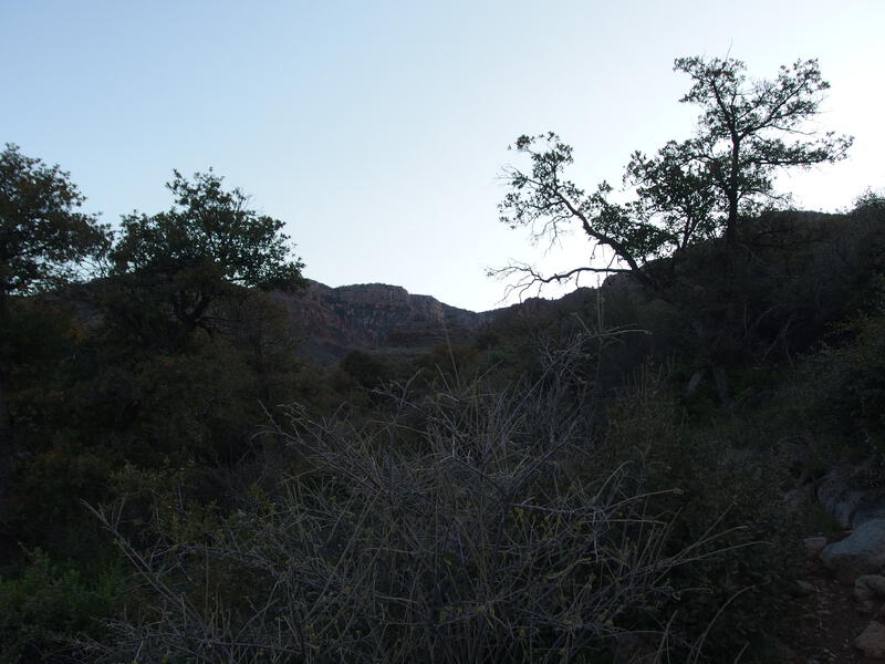
A cold, dark morning on Parker Creek Trail
Starting on Parker Creek Trail, the plan was to climb up to Aztec Peak, drop down Moody Point, circle around on Deep Creek and Coon Spring Trail, and then climb up the decommissioned Coon Creek Trail before returning to Parker Creek. While much of this loop had been hit hard by the Coon Creek Fire of 2000 and Juniper Fire of 2016, trail maintenance is pretty good in this wilderness, and I was only worried about the Coon Creek Trail. Well, that and Moody Point. Last month I was on that trail, and fought and lost a bloody battle against multiple walls of manzanita.
Parker Creek Trail wasted some time playing along the side of the hill, rolling up and down a few dry drainages, before slinking next to a most beautiful creek. I had suspected that it would be flowing, with all the recent rains, and it was a downright pleasure, a constant rushing sound of water sprinkled with numerous drops surrounded by tall pines. My anxiety about the rougher trails ahead began to drift away with this idyllic scenery.
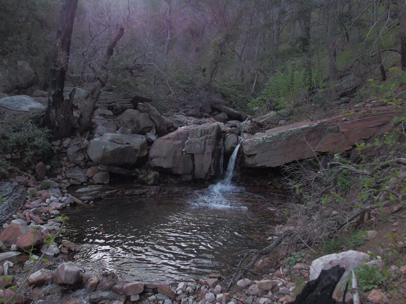
Little waterfall along Parker Creek
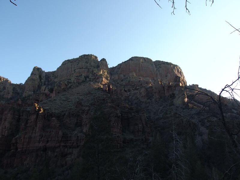
Cliffs waking up in the morning sun
The sun began to wake, lighting up the tall cliffs above, prompting me to chug up the steepening trail. There were a few switchbacks that lofted me high above the water, almost to the point where the creek sounds began to fade, and then the path swooped back east and we were reunited. I could easily imagine returning during the hot summer months, after some good thunderstorms, to enjoy the shaded trail in the cool canyon, a respite from the hot desert valley of Phoenix.
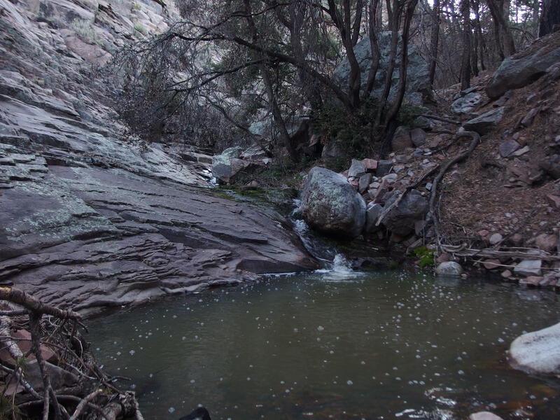
Hard rock walls surrounding the little creek
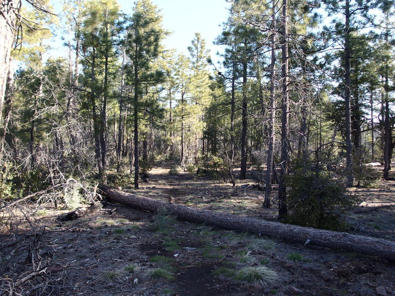
First saddle of Parker Creek Trail
Too soon the final climb showed up, hauling me up to the saddle with a healthy dose of sweat, and I paused long enough at the top to get my bearings. Carr Mountain is just to the north, and a long ridge extends southwards to Zimmerman Point. This ridge is the main divider between Coon and Parker Creek and would be nemesis tomorrow. Anyways, I was close to, but not quite at, 7000' elevation already, and my soft valley lungs felt the difference. Once I got my breath back I continued east towards Aztec Peak and my planned lunch break.
After all that climb it felt weird when the trail slumped, dropping slowly towards the headwater of Coon Creek. There's a spring here, Mud Spring, which I briefly hunted for, yet could not find. The brush was thick and very thorny and I tried not to think of what that would mean for tomorrow's plan. Then it was time to climb up the other side, away from those scary thoughts, up to Carr Trailhead and the end of Parker Creek Trail.
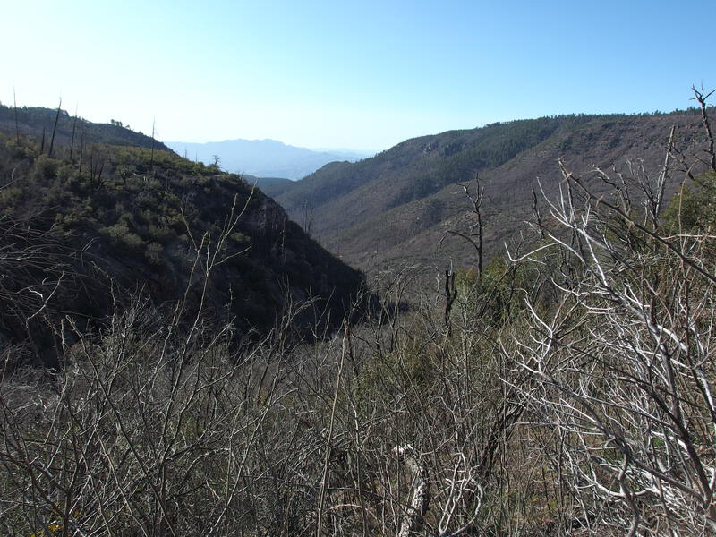
First look down Coon Creek drainage
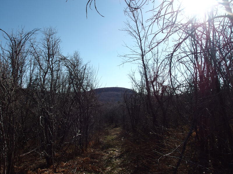
Aztec Peak in the distance
Water was a concern for today's hike, which felt weird acknowledging, after seeing all the flow on Parker Creek. With the exception of a roadside spring a few hundred yards from Carr Trailhead there was no other dependable source until my planned campsite, so even though I had yet to touch my 3L of water in my pack, I pulled an extra 1.5L from the spring. The extra few pounds weighed heavy in my ultralight pack after the early morning climb, especially as I thought of the 1000' climb that was coming up next.
A short stroll on FR487 took me to Peterson Trailhead, the start of Abbey's Way Trail, which would take me to the peak of Aztec Peak. This trail starts in a most lovely manner, an open meadow with seeps pooling water on the footpath, an apple orchard across the way and a nice campsite under tall trees. And then it turns nasty as the burn worsens. Deadfall obstacles, thorny growth, sunny exposure, and a relentless slope makes for a challenging climb to the peak. Wish I would have seen this area before the fires, as I can only imagine how nice it would be to walk under the acres of shade.
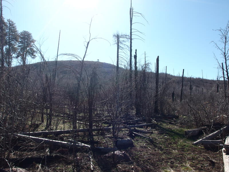
Fire damage along Abbey's Way
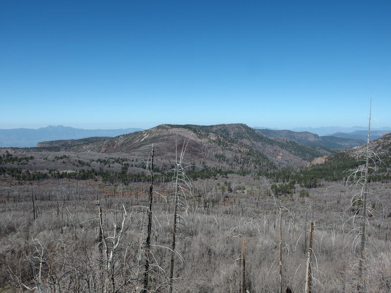
Acres of damaged land back west
Sweaty and panting, I trotted up the final yards and beelined over to some rock furniture with epic views. Within minutes I had my boots off, snacks out, and feet up, and I was sipping on cool water and eating lunch while enjoying the vista of Moody Point. I tried to pick out where the trail went, which ridge it followed and dropped down, though my knowledge of Deep Creek Trail was woefully lacking. Something to worry about in a few hours. For now I rested in the warm sunlight, a brisk breezing prickling goosebumps on my damp forehead.
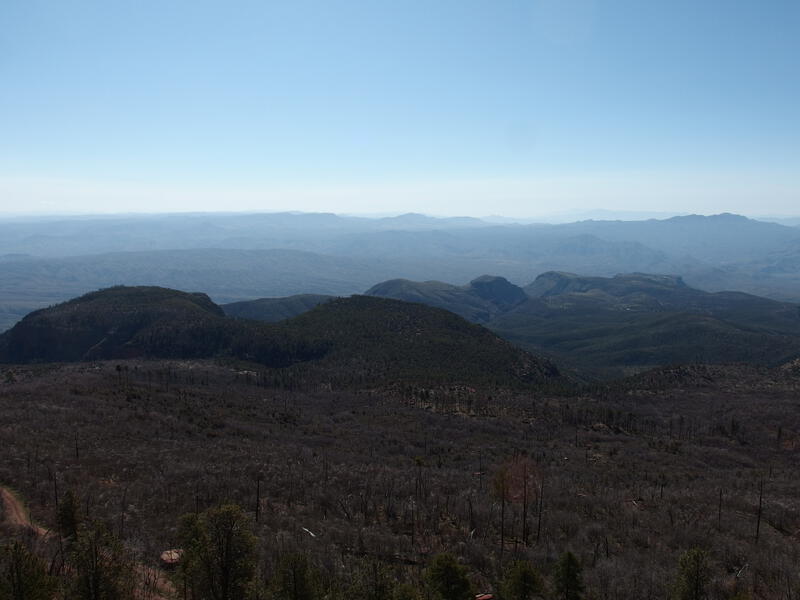
Looking down at Moody Point and rolling hills beyond
"It's all downhill from here" I thought with a grimace, as I pulled my boots back on and packed up. True, this was the highpoint, and the next leg of the hike would be a drop down FR487 (again) and Moody Point. However, Deep Creek Trail and Coon Spring Trail are roller coasters, and Coon Creek is one long slope, so while I may not spend much more time above 7000', there was plenty of up to sweat over. With one final glance over the expanse of wilderness I started down the road, enjoying the stretch of over-used leg muscles.
There was a single truck parked near the base of the hill and we chatted, briefly, about the area. I was eager to continue on. Soon I reached an old cabin, read an odd note about a lost dog that was found? Maybe? And then checked my GPS. Apparently I was at the start of Moody Point Trail already.
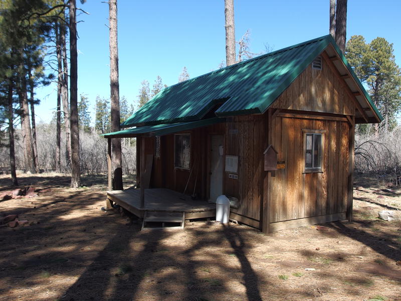
Tiny cabin near the start of Moody Point Trail
It took some time to find, as it's not marked along the road, and the path is a faint line at best. A dozen yards or so in and there's a wilderness sign, and then the trail cuts an obvious swath east. I stopped here for a gut check. This was my last reasonable bail point. Once I dropped there was only one lengthy option to avoid Coon Creek Trail - a very long roadwalk around Zimmerman Point - but I could bail now, continue on FR487 to Parker Creek, and be back at my car within two hours. Once I stepped onto Moody Point Trail I was committing to the manzanita barriers, the unknowns of Deep Creek, and a thorny bushwhack tomorrow. With a deep sigh I pushed east, along the trail, hoping that I wouldn't regret this decision.


-
Jacob P Emerick
May 29, '20
Thanks Phil! I read your logs on HAZ - glad you made it up to the Peak, Abbey's Way is definitely one of my least favorite trails in that wilderness.
Add to this discussion