Little Loop from Tortilla Trailhead
My plan for the day hinged around one central assumption - that Chris's Subaru would be able to handle Forest Road 213. This three-mile dead-end track reaches down into the Supersition Wilderness from the Apache Trail (88), providing access to the Tortilla Ranch area and several trails. Both Chris and I figured that it couldn't be worse than the road to Roger's Trough, something we've already driven down, but when we pulled off onto the turn-off for 213 it was obvious that this was in a new league. Multiple vehicles were parked here, none of which appeared willing to dare the rough road, and the road itself... Well, it was more stairs over layered bedrock than road, each step at least a foot in height and unlevel to boot. The Subaru didn't have a high enough bumper to even approach these obstacles, let alone the overhead to creep over them. We parked with the other humbled vehicles and I tried to imagine how to change my plans to account for the extra six miles.
Things already weren't going well. Both Chris and Kirsty had been hesitant about starting early, and then Chris had been running late, so we didn't leave Mesa until well after the sunrise. This ate up hours of valuable daylight. Then Kirsty had found a leak in her Camelbak and had to use an older, smaller model, plus some of her gear was wet because of the leak. Also, it was surprisingly cold and windy out. When we started down the trail and saw ice on the nearby puddles there was talk about turning back that I quickly tried to squash. In a few hours things would be warm enough, and cold temperatures made for a good excuse to walk faast. My hiking partners were less optimistic.
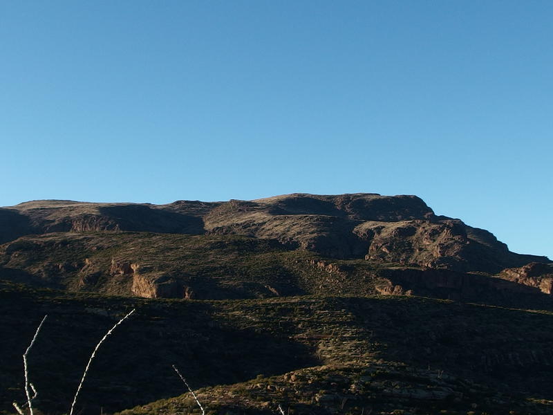
Large, mounded ridge on the sides of Tortilla Mountain
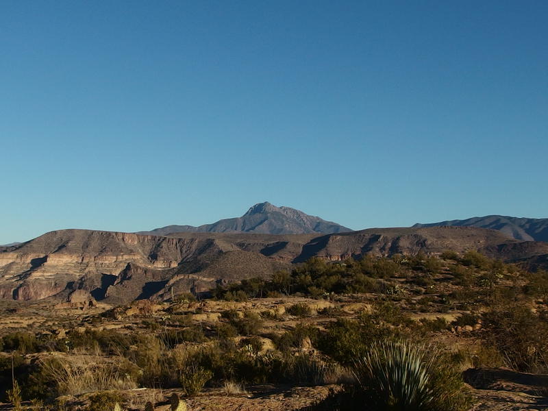
Four Peaks beyond Horse Mesa
The plan had been to make a loop and climb up Music Mountain, utilizing some of my knowledge of the area I had gained from my recent backpack through this land. Starting at the end of 213 we would head west on Peter's Trail to Peter's Canyon, climb up Peter's Mesa, head southeast on the mesa on a cross-country trek to the peak of Music Mountain, then head east off the peak to Horse Camp Basin and use the Hoolie Bacon Trail to return to 213. I estimated that this was a twelve mile hike, mostly on trail, with under 2000' of elevation difference. But we weren't starting at the end of 213. Due to the rough road we would be tacking a solid 6 miles of distance to a day that was already behind schedule.
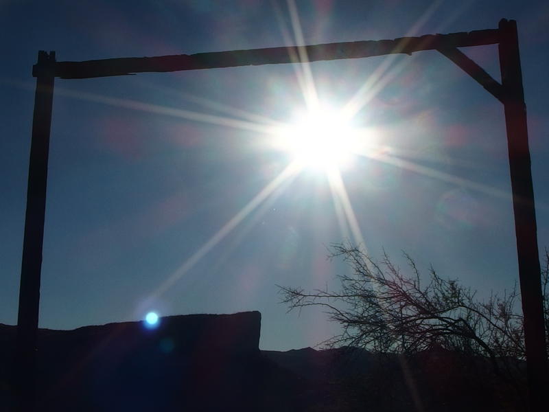
Morning sun shining through the old ranching gate
Beyond the first half mile or so the road leveled out on a ridge. If there was a way to skip that first section then just about any car could handle the road now, let alone Chris's beefy Subaru. We were still exposed to the wind so we kept talking to a minimum, moving fast and making large circles around the icy puddles that sometimes spanned the road. Another mile in we passed under a tall wooden gate, with the remains of old fencing on either side, and got our first look down into the green valley that surrounded the old Tortilla Ranch.
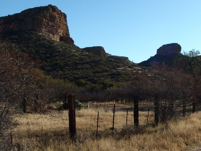
Tall bluffs above the old, rusty fence
Now, I don't know a ton about this ranching area. I've read that it was part of the JF system at some part of the past, some ten miles to the south, though I think that JF probably acquired it from someone else. I should read up on this some more. Given the ubiquity of the name 'Tortilla' there has to be some good history here.
Speaking of, I don't quite get how repeated some things are here. There is a Peter's Mesa, Peter's Trail, Peter's Canyon, and Peter's Spring. And then Tortilla Flat, Tortilla Mountain, Tortilla Ranch, Tortilla Creek, Tortilla Pass, and Tortilla Trailhead. There is also a Reavis Saddle, Reavis Ranch, and Reavis Creek, and a Roger's Canyon and Roger's Trough, etc. There has been more than enough explorers and gold diggers to add in some unique names… Guess some of them just left a bigger impact than others.
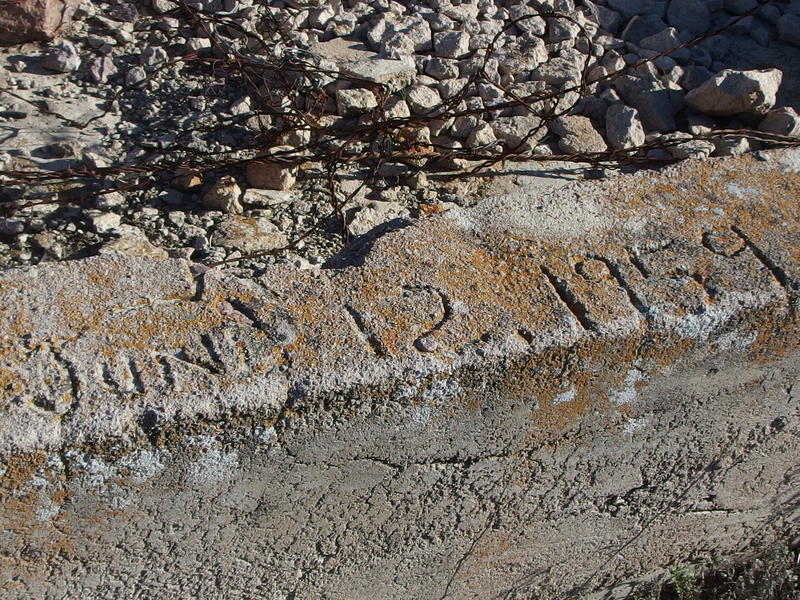
Date engraved on the cement water trough
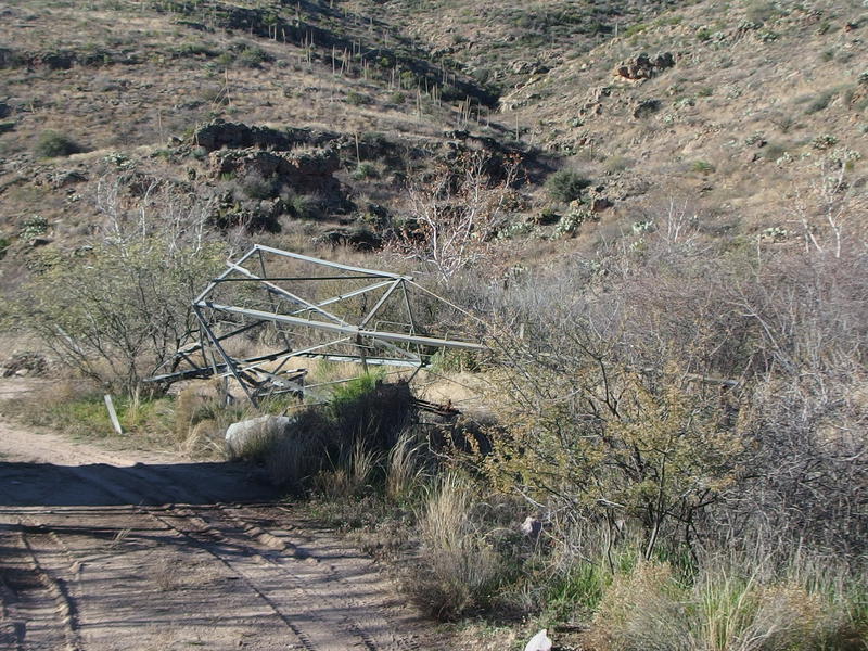
Toppled windmill near the trailhead
Back to the hike. After an hour or so of hiking the three of us made it to the end of 213, our planned starting point, and we stopped briefly to look at some of the remains of the old ranch. There's a trough, and some water tanks, and a windmill, and little else. Back up the road a bit there was a large cement foundation and a few corrals that was more interesting to poke around.
Chris was starting to question what all we were going to do today. We were hours behind schedule and we'd be hard pressed to get my planned route done. I wasn't about to let us turn around without covering new ground, so I suggested that we climb up Peter's Trail a bit and see how we feel once we're up the first saddle. From there we could decide if climbing Tortilla Mountain or continuing to Music Mountain or making a shorter loop on the old Peter's Crosscut made the most sense.
We headed over to the start of the trail, over where an unnamed wash flows down from Kane Spring, and were surprised to hear a loud and busy creek gurgling. This wash had been barely flowing when I was last here in the middle of an all-day rain so I didn't expect anything today, yet now it was flowing with all the energy of a year-round spring. Luckily there were interspersed rocks for crossing and we managed to keep dry along this stretch.
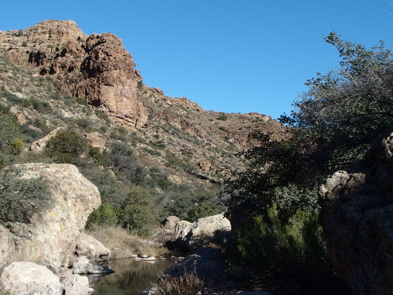
Tall cliffs around the water pools
Even without the busy creek and thick green growth this trail was impressive, something I barely remembered from my previous visit. Maybe the gloomy rain had kept my spirits too low to enjoy it. Anyways, the cliffs towered up on both sides like the sides of a giant secret hallway and a few tumbled-down boulders made little caves to creep under. We had fun poking along the trail, chatting as we skipped over the creek and ducked under the growth, and frequently mentioning how displaced we felt. This trail didn't feel like it was in a desert wilderness, a few dozen miles from Phoenix, not while we were hopping over clear waters and still chilled from the cold temperatures.
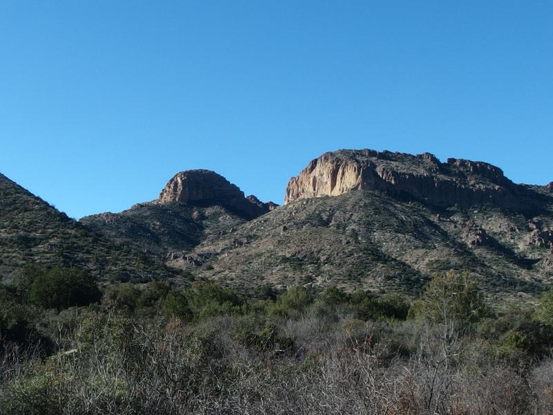
Steep buttes on the shoulder of Tortilla Mountain
The hallway opened up and we got our first good look at the saddle ahead. Well, sort of, anyways. I had a hard time placing exactly where the path climbed up the hills above. One thing that was a bit exciting to see was the bluff that rose up to the right, part of the ridge that formed Tortilla Mountain. It didn't seem that tall from here. The peak of the mountain is a mere five hundred feet taller than that, something that seemed totally possible for a future visit. Today probably not, not without proper planning, but someday.
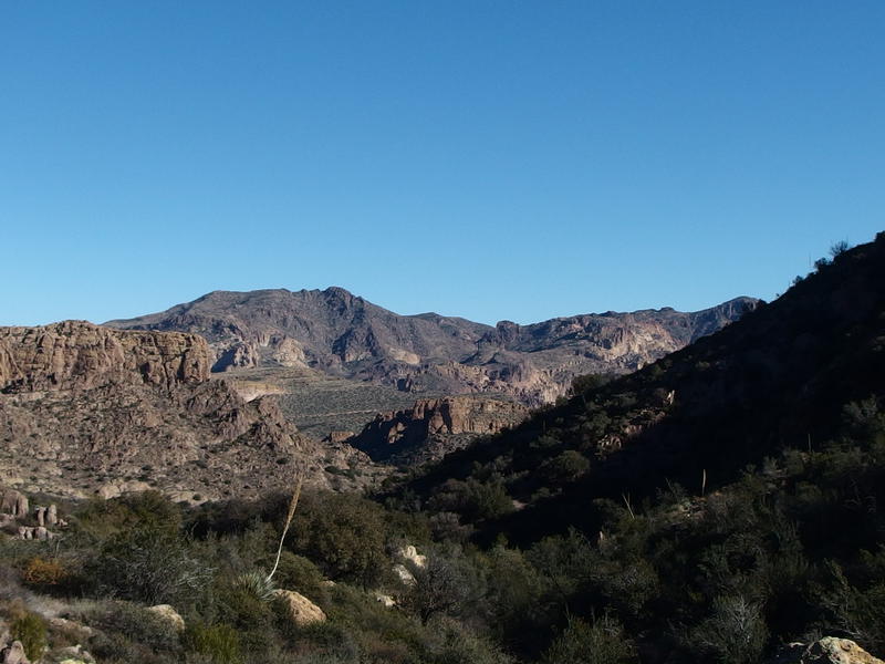
Looking back at Black Cross Butte across the trailhead
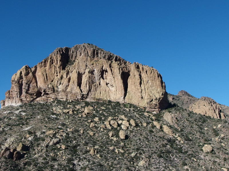
Unwelcoming cliffs west of the trail
We made our way through the open valley and headed up the far hill. It's about five hundred feet from the floor to the saddle, a climb that starts slowy and only gets serious over the last few hundred yards. There are a few switchbacks over loose ground and direct shots up hard rock to deal with. Our group split up on this stretch, me shooting up with a small burst of energy and the other two taking their time being careful, which gave me enough rest time to munch on snacks every fifteen minutes or so. This worked great for me - I had brought way too much food for today and was eager to put a dent in it.
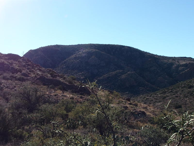
Low mound of Music Mountain
When we made it to the saddle and peered west the difference in reaction was amusing. Music Mountain seemed so close and easy to me, even though I knew my proposed route would circle around to the north and approach it from the side. Chris thought it was ludicrously distant, and Kirsty tended to agree with Chris. Outnumbered, and knowing that attempting a summit today would push us past the sunset, I came up with a compromise. Instead of climbing Music Mountain we would simply hop over the close ridge and head down to Horse Camp Basin. There was once a trail that headed that way, the old Peter's Crosscut, and with some luck we might be able to follow it down.
We followed the modern trail down from the saddle into the shallow headwaters of Peter's Canyon for a short distant, slowly dropping in elevation while eyeing up the ridge to the left, before deciding to cut over. It was a game of elevation: cut off the trail too early and you have to bushwhack longer, but the longer you wait the more distance and elevation difference you gain. When we did cut off I decided to follow a sandy wash over while Chris and Kirsty followed the side of a hill. All of us were bushwhacking along rocky, unsteady ground, and none of us were really enjoying it.
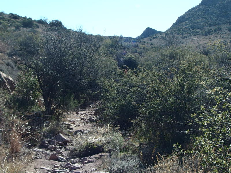
Navigating the rocky, overgrown wash
I convinced Kirsty to join me in the wash, more to show up Chris than anything else, and we slowly separated from Chris. It wasn't intentional - technically, we were all heading to the same destination - we were just too stubborn to concede that one way was bettern than the other. My sandy wash was level and free from brush, though the ground was loose and rocks easily tipped. Chris's hillside route was a rollercoaster and I heard him curse a few times as he stumbled into thorny brush. Chris slowly dropped out of view and, by the time Kirsty and I made the saddle, it had been twenty minutes since we had seen him.
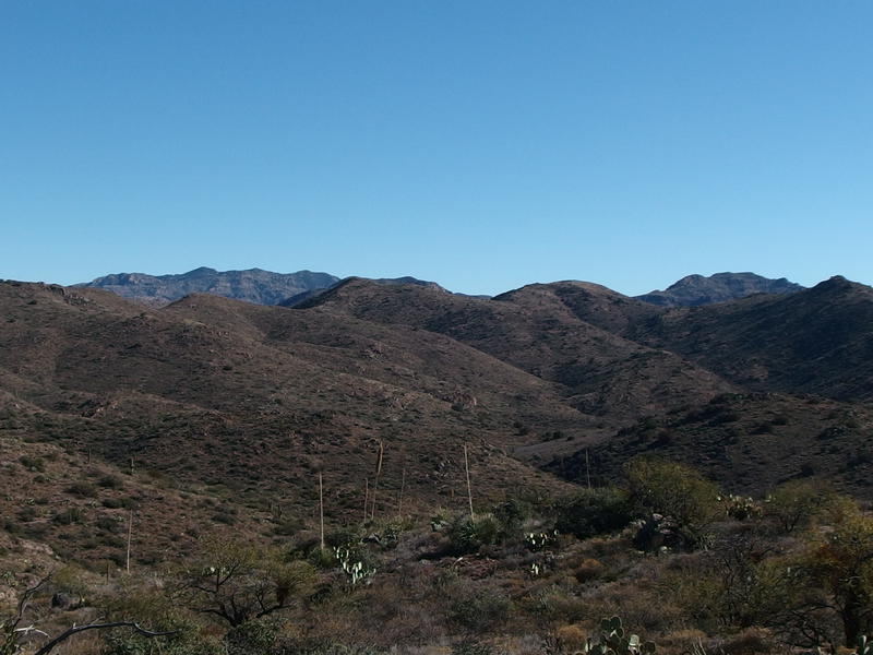
South towards Horse Camp Basin
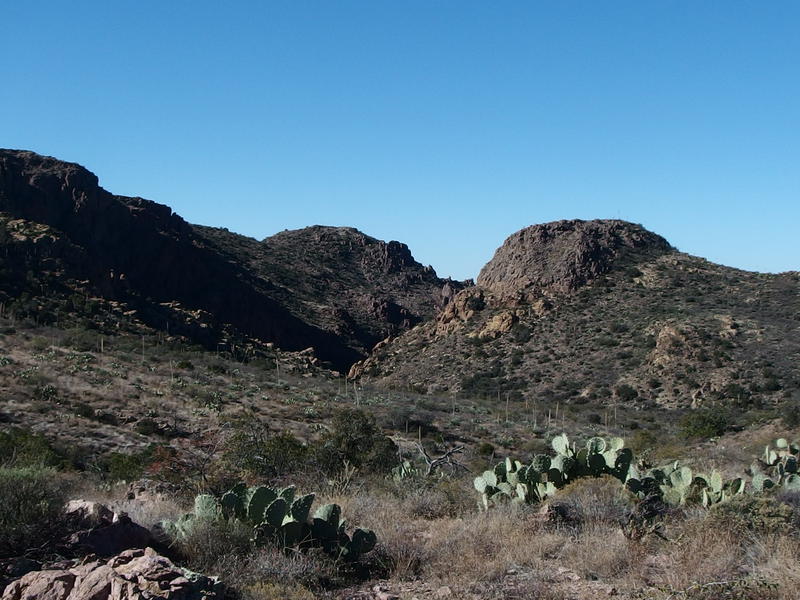
Last look north towards Peter's Canyon and Mesa
The view down to Horse Camp Basin was humbling. There was no obvious way down, no old trail to find, just hills and washes and distant mountains. We were supposed to find the Hoolie Bacon Trail, and Chris, somewhere down in that desert mess. This new route of mine was turning out to be less and less fun. Just as we were about to start the drop down we caught a glimpse of Chris, shouted a few words back and forth, and then lost him again. At least it seemed that we were all heading in the same direction.
Kirsty was starting to have some knee problems at this point so our combined pace was slowed on the way down the saddle. She was already using one of my trekking poles, what with the frequent creek crossings from earlier in the day and all, which did seem to help a bit. The thorny brush was also a hassle. She's not a big fan of bushwhacking in general, especially through this tough desert growth, and I was also bleeding from a half-dozen places. Avoiding the cactus wasn't too hard, it was the thickets of thorny brush that clutched and clawed at us.

Thick brush choking up the wash
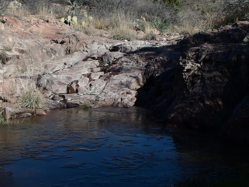
Thin ice covering up the shaded water pools
A full hour had passed by the time we made it down to a rocky wash and followed it upstream. I wasn't too sure where we were, or where Chris was heading, and was just heading east based off of the sun position. East was Horse Camp Basin and Hoolie Bacon Trail and the way back to the trailhead, while south was rough terrain and miles before any trail. East, or even north, was much better than south. I didn't have a GPS (dumb) or map (even dumber) to try to figure out where this wash led or what that hill meant, only the knowledge that east would take us back.
A distant shout and we were reunited with Chris. He had found Hoolie Bacon some fifteen minutes ago and had been walking along it looking for us. So, a decent amount of luck had reunited us. After some quick comparisons of our routes we sat down by an old Pinyon pine and ate a well-deserved lunch.
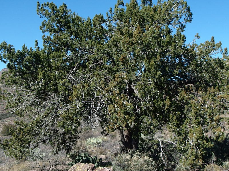
Pinyon Pine in Horse Camp Basin
It was now uncomfortably past noon and we had a handful of hours left before the sunset. And I had no idea what Hoolie Bacon would be like. Like, I knew it connected with the JF Trail and completed our loop and would lead us back to the trailhead and car beyond, and that was it. I didn't know how far we had to walk or what kind of terrain the trail went over. When the question came up on whether we'd beat the night back or not I simply didn't know. After looking at a map later I learned that we were actually pretty close to Upper La Barge Box, only a few miles north of that canyon and the springs within it, and that we could have made a much tighter loop if we had skipped looking for Peter's Crosscut Trail. We found no sign of that old trail, anyways.
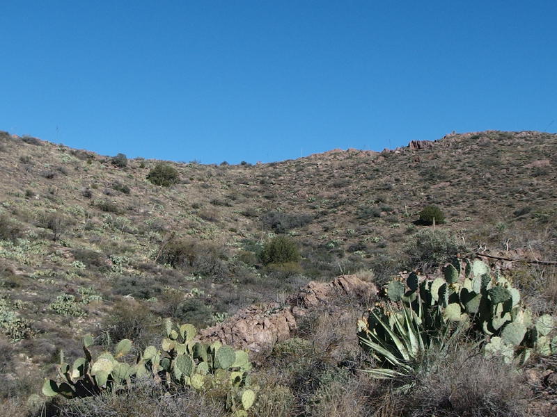
Another saddle waiting for us
We left the Pinyon pine and headed north on Hoolie Bacon, slowly climbing up another saddle. It was a slow climb, fully exposed to the afternoon sun, which was draining even with the cold temperatures. Along the way we spotted an old corral to the left, more remnants of the ranching days, and some sycamores that may mark a nearby spring. Exploring further would have meant cutting off the trail, though, so we opted to simply gaze from afar.
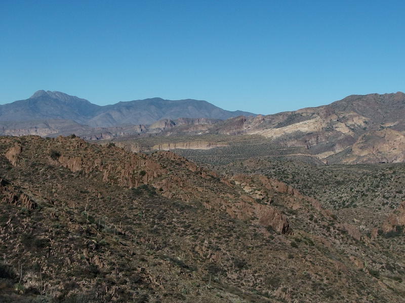
Four Peaks rising beyond the trailhead
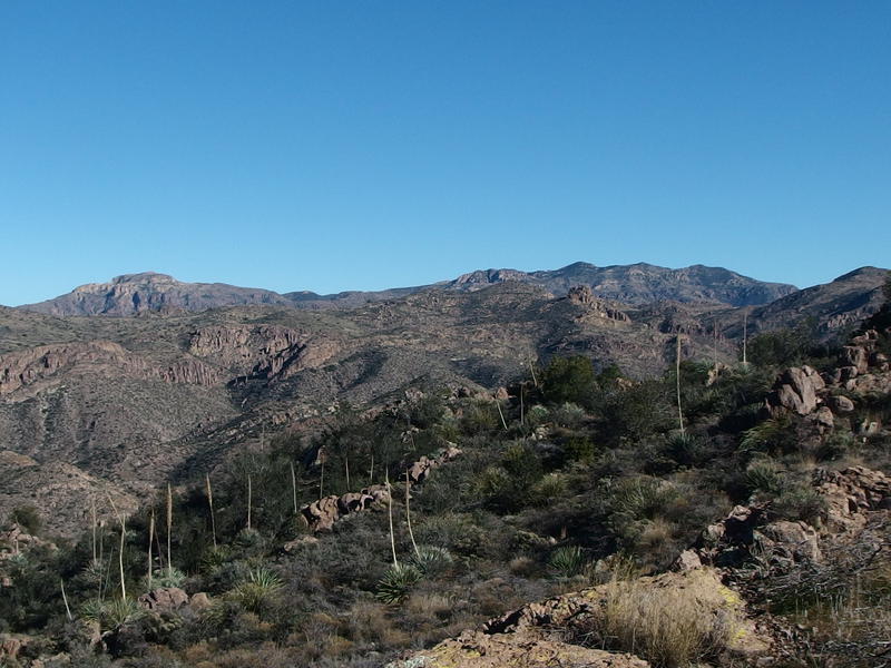
Along the ridge to the east, where White Mountain and Reavis live
The views from the saddle were fantastic. Looking north beyond the trailhead we could see Four Peaks and Horse Mesa which helped orientate us again. The trailhead wasn't too far away, just out of sight because of a nearby ridge, which gave me hope that we'd still make it out in decent time. East was much more imposing. I'd been glancing at that ridgeline all day, the high peaks of Black Cross Butte and White Mountain looming above Fish Creek Canyon, and I wondered what it'd be like to conquer that ridgeline. Probably not in one day, that is. Probably.
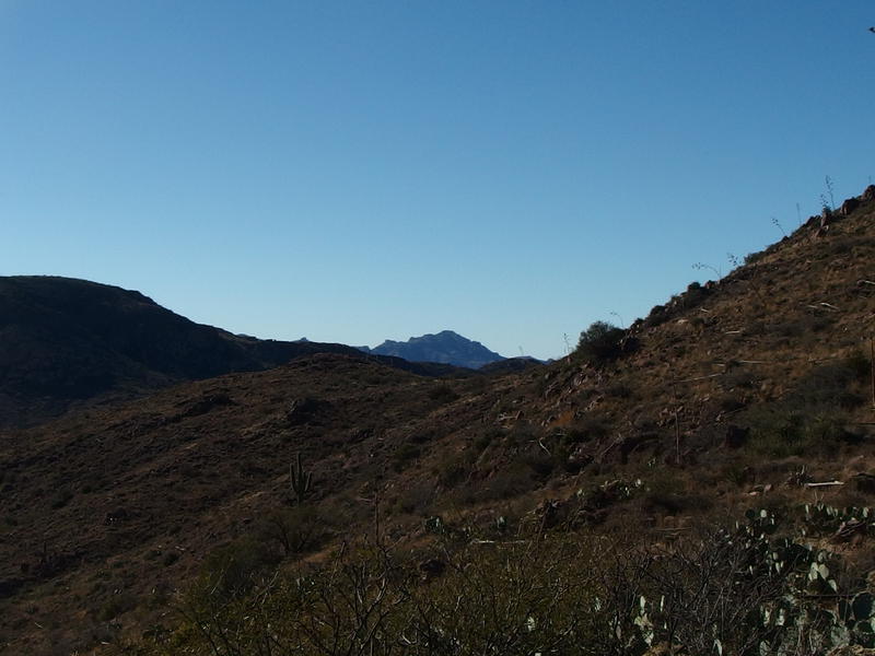
A hint of the Superstition Ridgeline, far to the west
We even got a glimpse of the western ridgeline, the distant Superstition Ridgeline that marks the end of the wilderness and the beginning of the Phoenix valley. I had been hoping for a better view out that way and we hadn't really gotten the elevation for it. This was about as good as we would get today, I guess, with Peter's Mesa and Music Mountain in the way.
Descending down this saddle was a slow and tedious process. There were plenty of switchbacks and washed out areas, and thanks to a few sections with all-day shade we even bumped into icy sections that had to be crept over. It actually stayed cool enough all day long for this trail to remain frozen. It didn't feel like it was below zero, moving on the trail and climbing up and down saddles, but it must have been close for the ice to hold on through the afternoon.
Kirsty began to have some trouble with her knee again so I held back while Chris zipped ahead. It was just as well - we had some catching up to do about the new Star Wars movie, which Chris hadn't seen yet, as well as some gossip on the production of Dark Tower, which Chris wasn't interested in. Kirsty is a huge Stephen King fan so it was helpful to hear her thoughts on the different developments underway and what it would mean to the story.
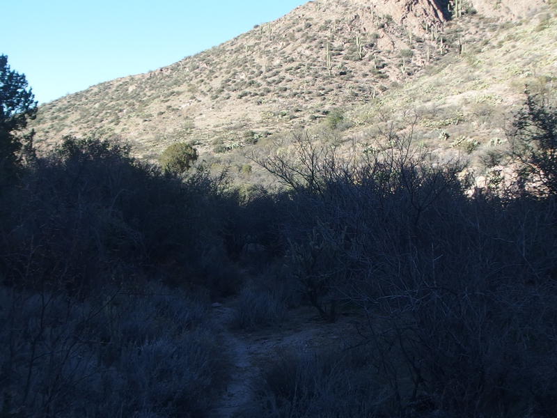
Deep shade along Tortilla Creek
We chatted about nerdy books and tv shows as we finished the drop off the saddle and were dumped on the banks of Tortilla Creek. This was also flowing today, another busy creek to hop and jump over, and I was wondered how much water it would take for this to run all the way to Salt River. This creek was dry down by the ranch, a few miles to the north, even with how full it was up here (and also how full the tributary along Peter's Trail was). Guess it would have to be in flood stage for the whole thing to run.
Our path didn't stay along the creek for long, soon climbing up the steep hill on the east bank, and we huffed our way up the last climb. Well, almost the last climb of the day. There was still some elevation to gain on our way back to the parked car, a few hundred feet or so. We made it to the top of the hill, joined back with the JF Trail, and caught up with Chris back at the trailhead. Our (shortened) loop was done - all we had to do was hike back on the forest road.
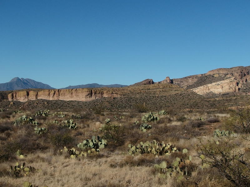
Steep mesa near our trailhead
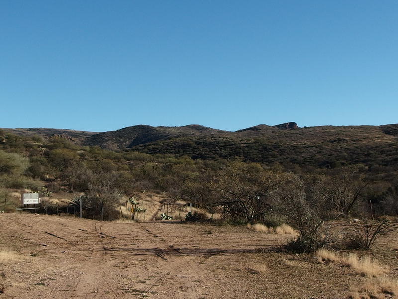
A dry start to the JF Trail
Things worked out from a time perspective. The three miles took us just over an hour to walk and we made it back to the car with a good thirty minutes to spare before the sunset. We were all tired, though, and walking six miles on a dirt road just to walk an eight mile loop through the wilderness is a hard trade-off to enjoy.
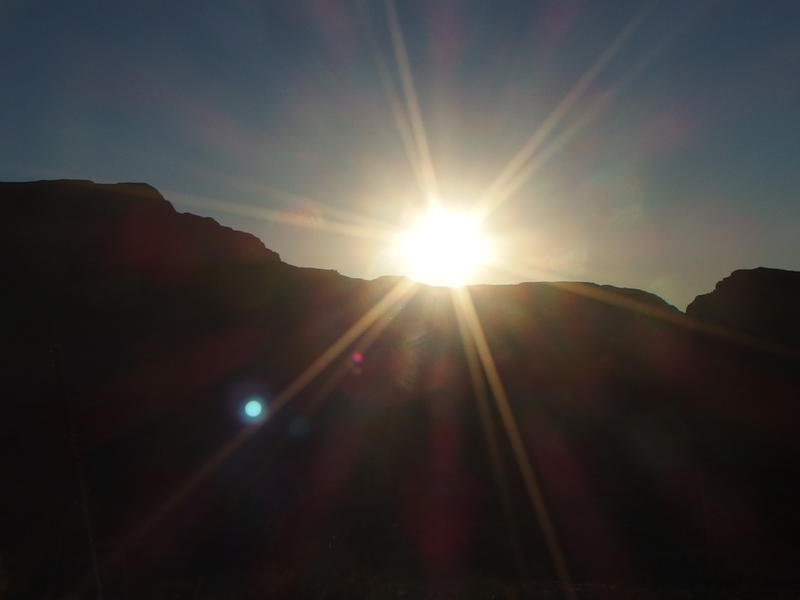
Bright afternoon sun over Tortilla Ridge
Tortilla Trailhead is just a tough thing to sell. If I had a vehicle that could clear the first half mile of steps I'd really enjoy it - it is remote and provides access to Fish Creek, Peter's Canyon, and the JF trail system - but without a decent vehicle there is that mandatory of six miles to pay. Six miles of dirt road without too much to look at. It might make sense from a backpacking perspective, or maybe with a predawn start. For the three of us today, though, that price forced us down a shorter loop and put a damper on an otherwise scenic area.


Comments (0)