Intro to Blue Range: Up the Blue River
Softly shuffling around my campsite, hesitant to break the cool, still air of morning, I slowly packed up and prepared to start on the trail before sunrise. I was on the Little Blue Trail, which follows the Little Blue River south out of Bear Valley, and had just spent a long, restful night next to a spring after an exhausting twenty-seven mile trek yesterday across the Blue River. My plans for today were not firm; I could try to re-cross Blue River and camp at Mud Spring or Grant Creek, far up the hills to the west, or I could have an easier day and save that climb for tomorrow. Either way it was time to take this trail south to the Cow Flat area.
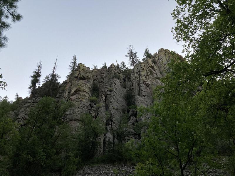
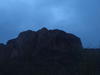
Sharp formations along Little Blue Trail
Rock formations towered over the trail, dim monoliths that sharpened as the sky lightened. I trotted over the needle-soft path under ponderosa pines and wondered idly what this area would look like after a wet winter / spring. It has been a dry summer and fall, and everything felt parched, which made for easy river crossings on this trail and severe fire warnings throughout the state. At least I had a full couple of liters in my pack and would be spending a good chunk of the morning walking along a river.
I reached the junction with 'Horse Mountain Connector' and took that west, which slowly climbs out of a dry tributary before ending at Cow Flat Trail. Daylight caught up to me here, gently falling through the trees, and the combination of early sun and the slight uphill had me puffing. Maybe my legs didn't get as good of a rest as I had hoped. With some effort I reached the next junction, had a little more elevation to get around the flank of 7210', and was rewarded with a hazy view south.
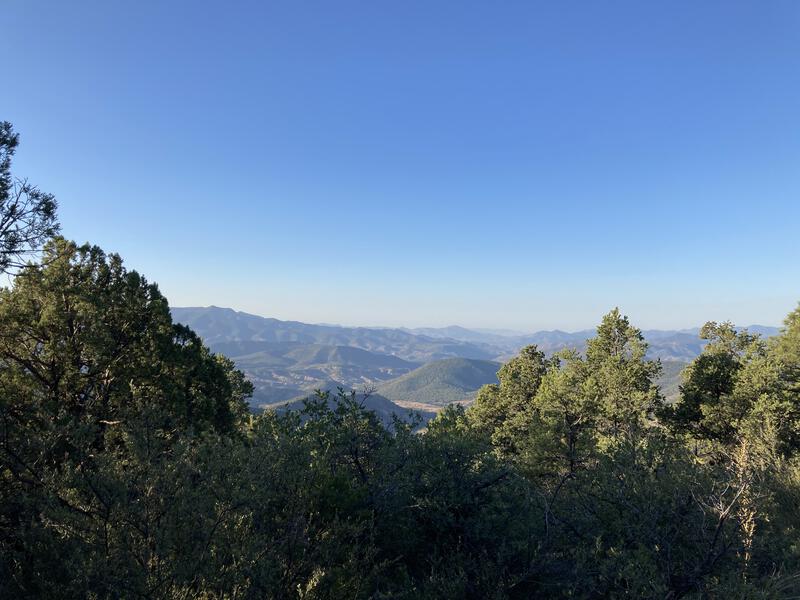
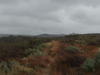
Tantalizing southern views
With some grumpiness I headed downhill, stumbling along the loose rocks on the trail, unenthusiastic that I was still moving south. My Jeep was located northwest of me, and I was ready to start closing this loop. However, there are no trails that head due west from Bear Valley, so unless I wanted to backtrack on Largo & Laphnier this was the best route to return on. The slope eased as I made my way onto a somewhat exposed Government Mesa and I tried to enjoy the rocky, rolly ground.
The morning slowly aged as I reached the end of the mesa, switchbacked down to Auger Spring, and meandered around a corral to check out the water situation. There were a few dark tanks of water in the rock, though they looked to be rather hard to reach without a long scoop or rope. I still had plenty of water, though I did pause here to gulp down a liter, hoping to keep up with my hydration today and avoid yesterday's fatigue. Then it was time to haul up the other side of the spring and start dancing around rocky hills.
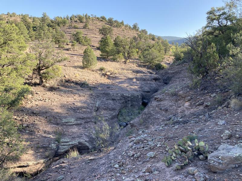
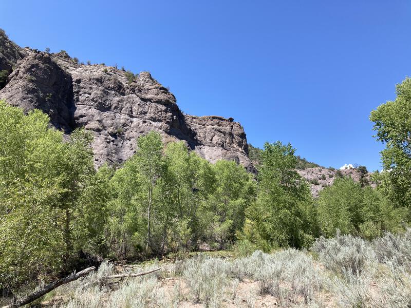
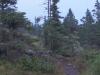
Fun rock formations along Cow Flat Trail
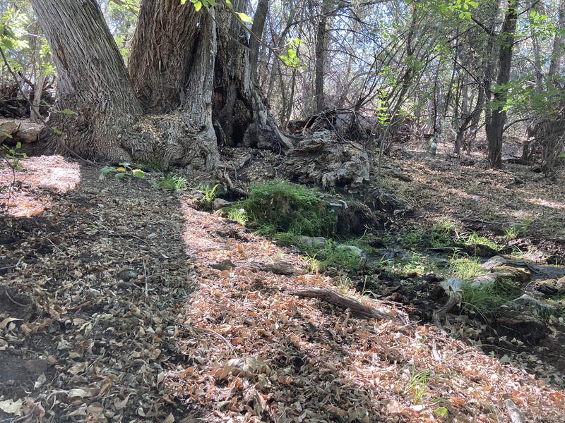
Fantastical sights at Ladrone Spring
Second half of Cow Flat Trail was a delight. It danced around the sides of hills, sporadic junipers providing hints of shade between stretches of cat claw, and tantalized me with occasional views south and west. I really enjoyed this trail, even as I felt the temperature creeping up, and too soon I stumbled onto Ladrone Spring, which was even more fantastical, with water bubbling up from the roots of an ancient, gnarled tree before splashing down into an overgrown canyon. Definitely a good spot to have second breakfast and filter some fresh water.
After a short break it was time to finish this trail, and the last mile passed in a blink, more pleasant walking under shade from tall sycamores, all fed from the prolific Ladrone Spring overflow. I could hear the water tumbling down there and wondered how many little seeps and springs had joined in, as it sounded like a lot of volume down there. I was in a great mood when I stepped out onto the wide bed of the Blue River, with high expectations after the morning experiences, hopeful that the sad, stinking trickle I had seen yesterday was due to the nearby ranches and that now, miles downstream, fresh creeks and springs had given this river new life. I was disappointed.
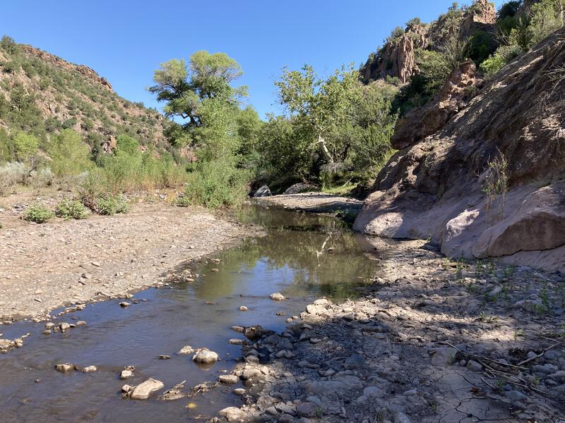
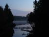
Muddy Blue River
Silty water oozed along the dirty, rocky riverbed, surrounded by thick brush, a few tall trees, and towering rock formations, which did a good job at blocking any sort of breeze, creating a hot stinking mass of air that felt thick, even in the morning air. I stopped, feeling somehow cheated, and checked my route. Five miles to reach FR 281. Gazing around, the sweat starting to build up on my forehead, and I didn't see any sort of trail. Five miles of rock-hopping in this heat sounded hellish.
Hot travel between hot rocks
This section of the hike passed slowly. I stopped every mile or so to drink some water and have a snack. There were a few shaded banks that, if you squinted, could make for a poor campsite. An unexpected cabin showed up on the western bank, a relic of ranching days past. I even found a few isolated, unconnected pieces of trail. Regardless, I absolutely hated this trail, and when I stumbled up to a gate and dirt road I couldn't have been happier to be done, completely drained from the heat and mundane travel.
The dirt road passed by McKittrick Creek and a small trickle that looked more appealing than the sludge of Blue River, so I paused and pulled two liters, thirsty from the hot morning. A few dozen yards later and a man showed up, first person of the day, and he immediately started yelling at me, as I was apparently on his property. I tried to ask him where and how the Blue River Trail was accessible and he didn't seem to care, though when I explained to him where I had come from (Bear Valley) he gave me some pity and told me to just continue on his driveway. Pretty sure I was moments away from being reported for trespassing.
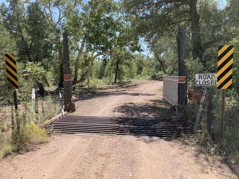
Blocked passage to the trail
Drained, scared, and with only a token amount of water in my pack I set down FR 281, anxiously trying to get some distance between me and the landowner. The dusty road, which I had already walked yesterday, was just as hot as I remembered. Checking my route I noticed that there were three miles until Cole Flat and the start of Steeple Trail, which would take me right back to the Jeep. I was not in the mood to climb up that trail today. An hour later and I left the road, dropping down to Cole Flat and the Blue River, and I found a few trees to string up my hammock.
It was only 1:30 in the afternoon and I was done. My feet hurt, clothes sweat-soaked, and eyes heavy. There was a slim chance I could reach the Jeep today, though it would take a lot of willpower that I didn't have. A nap sounded better. The river looked more appealing here so I filtered and drink, ate some snacks, read a book, and drifted in and out of sleep. When the sky darkened at three and thunder began to rumble I was happy to set up my tent and call it a day, rotating between resting in my tent while the rain came down and on the hammock when it paused.
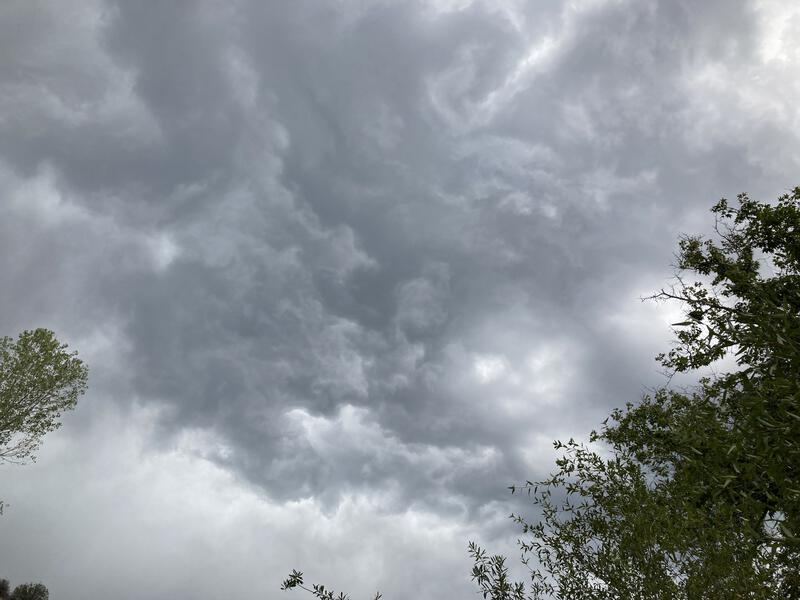
Angry skies over camp
My day, which had started so lovely and turned so wretched, ended on a wonderfully lazy note, even as the storm worsened after sunset and the lightening flashed nearby. I was safe, perched high on a river bank, surrounded by low trees and near a rock bluff, within sight of the trailhead that would take me home. I lay in my tent, reading and listening to the storm, freshly washed and relaxed after the long afternoon. Tomorrow I'd have to climb up Steeple Trail, a long haul back to the alpine heights, through fire damage and unmaintained areas, and that was tomorrow. My day was done.
Comments (0)