Center Mountain to Pueblo Canyon Overlook
Tall pines shushed in the light breeze over the narrow two-track, and I practically had to pinch myself to make sure that I wasn't dreaming about the Huron Mountains of Michigan. I was in the Sierra Ancha range, still in Arizona, and I didn't even have to drive all the way to the Mogollon Rim to get out of the desert. This wilderness is located a short distance northeast of Globe and is a reasonable two hours from Gilbert. The high elevations (about half of the wilderness is above 6000') makes this an attractive escape from the lower Phoenix melting pot.
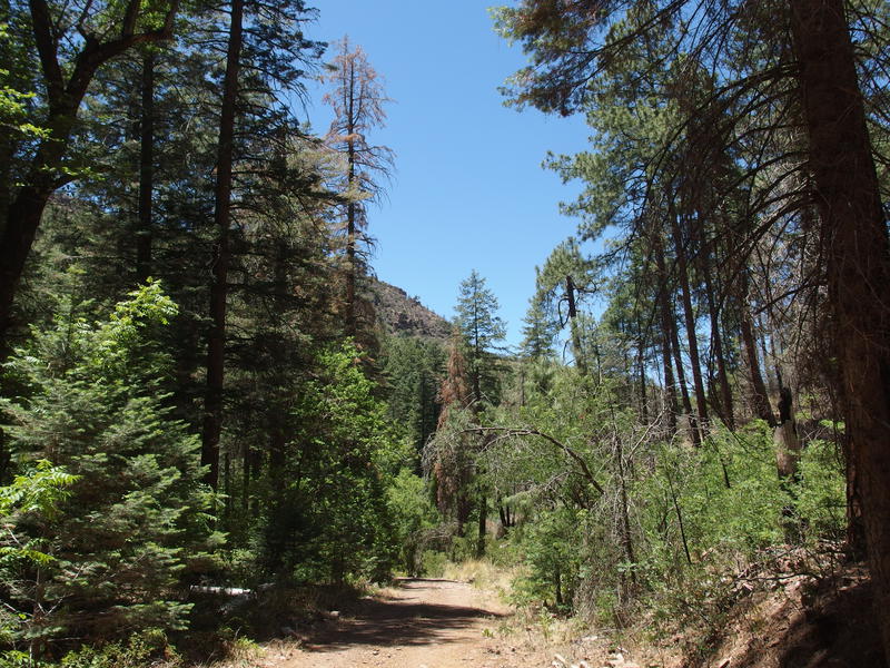
Big trees along FR 410
I packed up my gear and headed down Forest Road 410. This was my first visit to this area so I had planned a conservative two-day loop (30 miles) that included road walking, some trustworthy trails, and at least two dependable sources of water. First 4 miles were all road walk, down 410, past Cienega Springs, and then up 235. That uphill dragged, as it climbed over 1000' and didn't have a lot of breeze. When I finally reached Billy Lawrence Trailhead I was drenched with sweat and ready for a break - and the trailhead delivered a view that warranted a break.
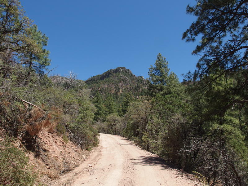
Pine-covered hills visible along FR 235
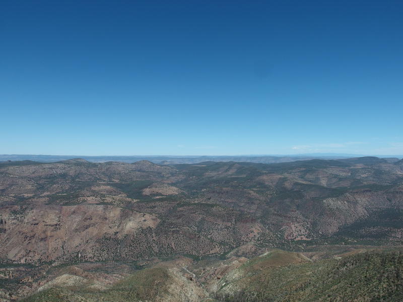
View from the Billy Lawrence Trailhead
Time to talk about the Sierra Ancha Wilderness layout. The boundaries surround a ridgeline that rises slowly from west and drops suddenly in the east, with the western side starting around 5000' - 6000' in elevation and the eastern/southern end plummeting to 3000' towards Cherry Creek. The west and center of this ridge is high enough to support huge stands of Ponderosas and the lower sections are a mix of typical desert scrub. There are several deep canyons that drain down to the east that hold ancient pueblo ruins, though they are only accessible from below.
I was starting on the west side, the tall side, and would be dancing along the ridge, eventually summiting the high point - Aztec Peak - on my second day. Now I was on the tip of the rim, overlooking the dramatic drop to Cherry Creek, and it was a little crazy. There's a trail that starts here and sinks all the way down to the bottom, one of only a few trails that make the descent, and I had a hard time imagining that it was possible to design a trail to dance along the steep cliffs. Guess I'll find out how another day.
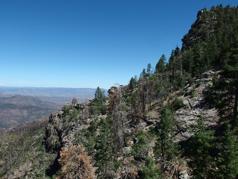
Mixture of live and burned trees along the trail
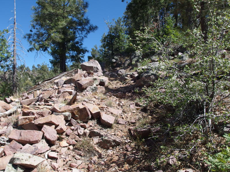
Steep going on Center Mountain Trail
With the wind back in me I started down Lucky Strike and quickly turned off onto Center Mountain Trail. Lucky Strike started as an old mining road and I wondered if it stays that wide and rocky the entire way. Center Mountain was much more traditional, narrow and stepped, which worked since it climbed up a steep slope like a natural stair case. Unwilling to take another break so soon I pushed up with my water-laden pack, quickly knocking out the rest of the elevation to the top.
With the climb done this trail quickly tamed, a gentle stroll through tall trees that was more-or-less straight. It was still pretty rocky, though, and I was glad that I stuck with my trusty high-top boots. Ankles would roll easily out here. The trail made one elbow and then entered a burn scar, fading in the grass and brush, and I had to pick my way from one cairn to the next. At least the open area provided some awesome views.
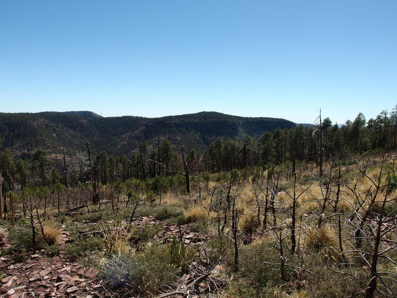
A burned clearing on top of the mountain
Standard pine forest trail was most welcome after the open burn scar. Stepping over deadfall, hunting cairns in tall grass, and rolling on loose rocks underfoot was pretty annoying, and a shaded tread over needle-soft trail felt luxurious in comparison. At some point I officially entered the Sierra Ancha Wilderness (the boundary jumps back and forth a few times) for the first time, though there was no sign to mark it. The pleasant trail slowly twisted to the south along the side of a ridge, dropping as the highpoint of Center Mountain passed by, and giving me a few more good views of Cherry Creek in the east.
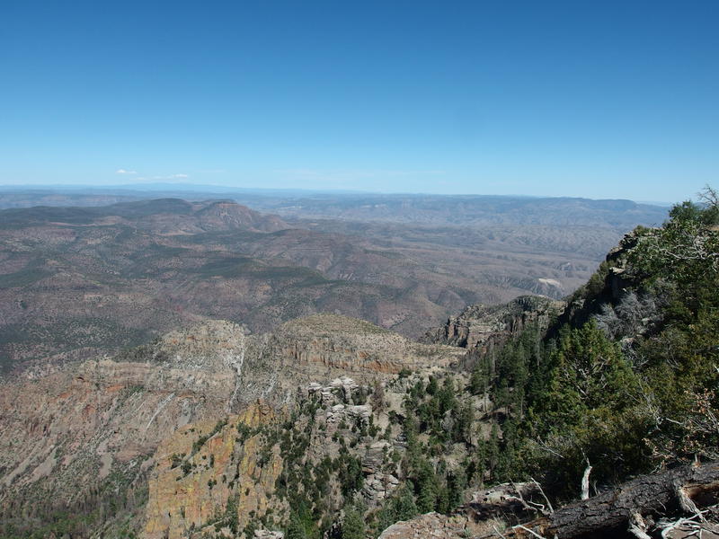
Even more views of Cherry Creek below

Descending to Reynolds Creek
I wasn't looking forward to the next section of this hike. I had to drop all the way down to the banks of Reynolds Creek, same creek the Jeep was parked at several miles lower, just to climb back up an unnamed ridge of Center Mountain. Not even sure the route over there has a name or trail designation (it doesn't) and it seemed like just another climb in the warm afternoon sun. For now I bumbled down a dry tributary to the dry creek, making sure to cover both of the connectors to Reynolds Creek Trail for completionist's sake. At least I found my first wilderness sign above the creek. Backtracking a short bit I girded my loins for that climb I was dreading.
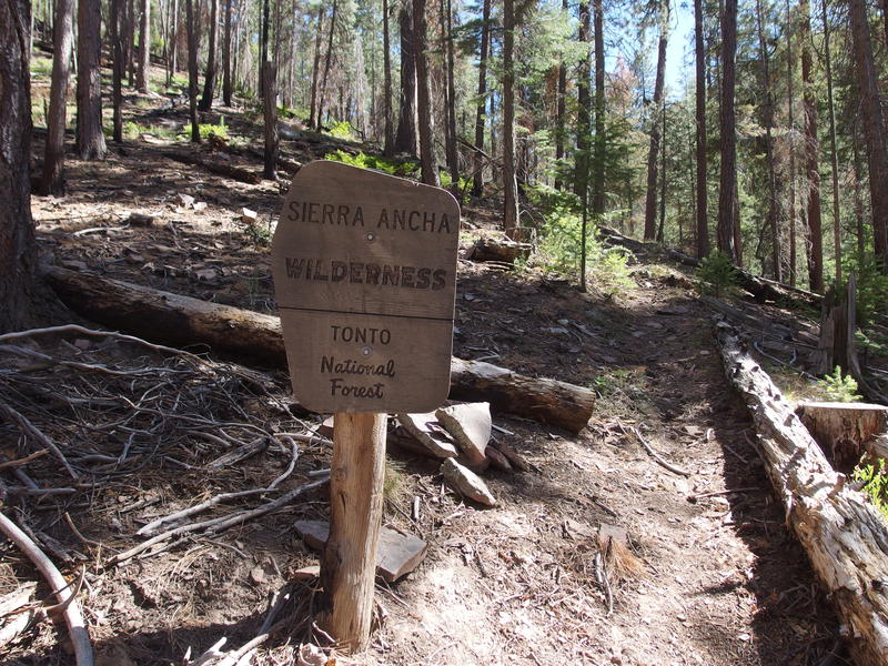
Wilderness sign, surrounded by pine
It was about as draining as I feared, much steeper than the haul up Center Mountain, and there was significant washout that all but knocked out any semblance of tread. I crawled and pushed my way up, searching for cairns to guide me, hacking through a random mix of thorny brush. This had to be an old ranching trail that pre-dated the wilderness and is now unmaintained and mostly forgotten. Damn the topo map that led me here.
Once I crested the top I found a few good cairns, though they seemed to lead me on a random back-and-forth across the top of the ridge. I played along for a hundred yards or so, getting another good view to the east and then switching back over to the unnamed peak across Reynolds Creek, before giving up and just cutting my own straight line south. An old road showed up and delivered me right back on Reynolds Creek Trail, about a mile above where I had last seen it before that climb, and I let loose a sigh of relief. It was all downhill from here to my campsite.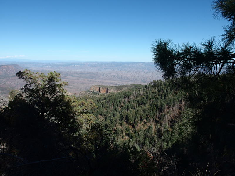
Distant view of tonight's campsite
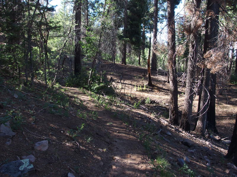
Long shadows along the trail
Compared to the last mile, this section was a dream to stroll. It was well-defined, comfortably wide, and under giant pines and cedars. Shadows were starting to lengthen in the late afternoon, giving me slight anxiety about reaching my campsite in time, but I tried to ignore that concern and enjoy the easy hiking. Soon I reached the Murphy Trail junction, which sunk down to the east and would deliver me to the edge of a long line of cliffs above Cherry Creek.
Murphy Trail is where I first started to enter obvious burn damage. There's been two wildfires out here in the recent history, the larger Juniper Fire of 2016 doing damage to a wide swath of the Sierra Ancha Wilderness. Technically my entire hike had been in the burn area, it's just that until now, the damage had been minimal undergrowth that simmered. As I descended down the Murphy Trail I fought through thorny berry bushes and deadfall, surrounded by charred remains of huge pines, and even a section of scorched moonscape. The fire burned hot here.
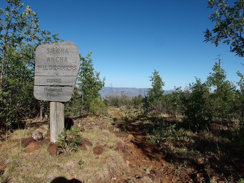
Another wilderness sign, now on Murphy
Soon I reached the next junction, Rim Trail, and turned north. These trails out here are short compared to the long and remote ones out in the Mazzies. The going was about the same, charred pines and thorny low growth, until I started to swing in along the edge of a ravine. Suddenly the temperature dropped and everything got lush, feeling more like the Pacific Northwest than over-cooked Arizona. I was in Cold Spring Canyon, the first dependable water source of the trip, and it was magnificent.
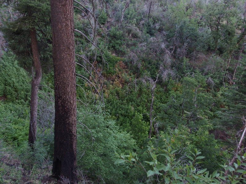
Greenery along Cold Spring Canyon
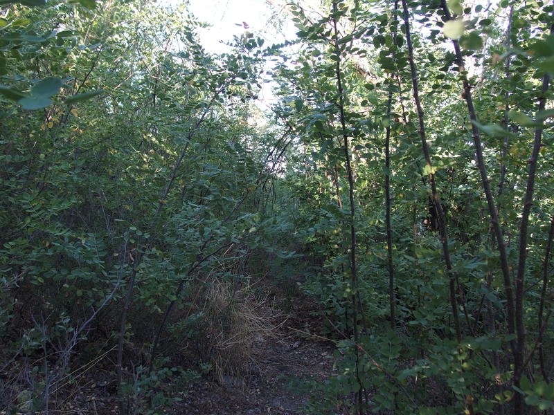
New Mexico Locusts along trail, very spiky
The water trickle here was barely enough to scoop with a cup so I passed it by. I was only a mile or so from my campsite and another water source, and the sunset felt oppressively close. As soon as I stepped away from the canyon the New Mexico Locusts closed in, one of the thorny, greedy plants that seem to shoot up after fire knocks down all of the more friendly plants and trees. In the lowlands I have to fight cactus, in the highlands it's thorny brush. I got a few solid gouges before I broke through.
Rest of the hike passed quickly. Cairns guided me along the way, as the vegetation was mostly cleared out and tread washed out. The open areas gave me a sense of how epic this rim was. I was down around 6400' and the mountains that I was on a few hours earlier towered to my left while Cherry Creek sunk down to the right. The cliffs weren't terribly high, maybe as low as 50' in some spots, yet the hillside was ridiculously steep below.
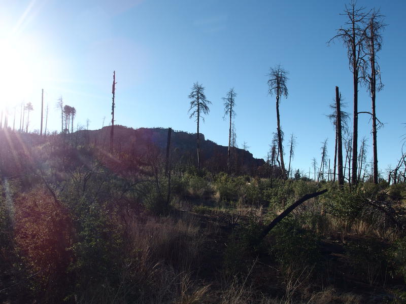
Heavy damage on the rim
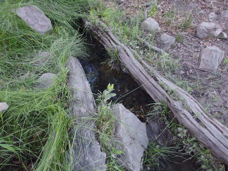
Small, clear source at Edward Spring
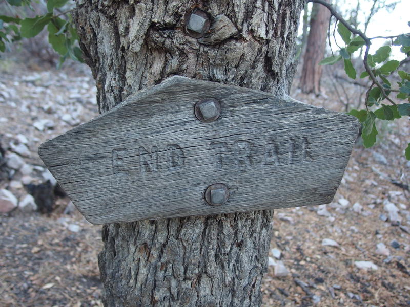
The end of the Rim Trail
I sucked the rest of the water from my bladder minutes before hitting Edward Spring - could not have asked for better timing. I dropped my pack and started on drinking from my backup bottles and filtering back up, figuring to get as much of this mundane chore done before the sunset as possible. Thanks to the easy source and my setup I was able to filter five liters in quick fashion and check out Pueblo Canyon before the sunset.
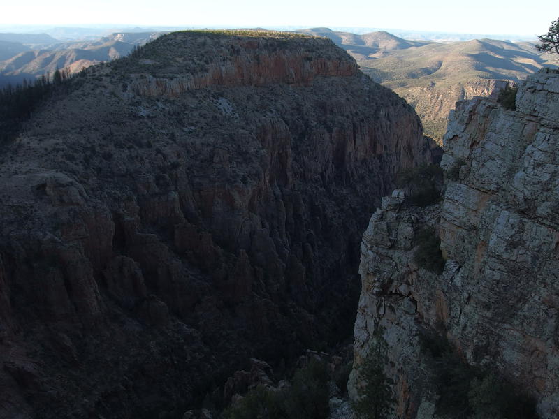
Looking down Pueblo Canyon
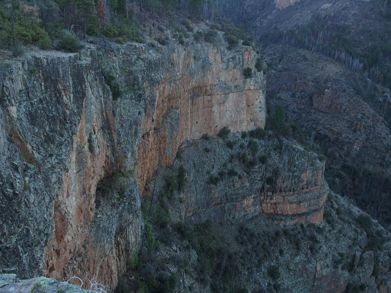
Steep cliffs below my feet
This, this canyon was pretty impressive. The established campsite was back by the spring and there was a short hack through manzanita to get from there to the canyon edge, a painful hack that was totally worth it. I kinda wished that I would have seen it in afternoon light, as the lowlight photos don't really do it justice. Spent some time wandering up and down, admiring the drop and half-looking for a good spot to hammock near the edge (which seemed awesomely terrifying) before heading back towards the spring to set up camp.
Five minutes after rigging my hammock I realized how dumb it was to camp, alone, near one of the few water sources in the area. I had been stepping over bear scat all day. I gathered my gear and scurried up the hillside until I found two pines that would work, maybe fifty yards above the spring, which also gave me a decent view down into Pueblo Canyon (from a safe distance). I quickly finished the setup, pulled out a cold dinner, and watched the light fade from the distant lands.
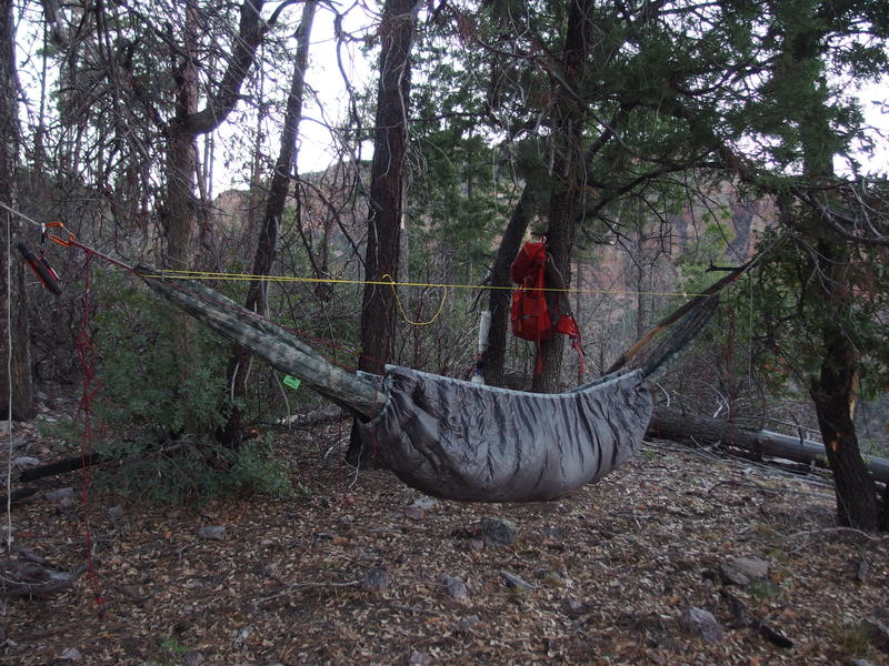
Hammock campsite near Pueblo Canyon overlook
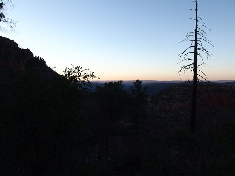
Last vestiges of light
The first half of my Sierra Ancha loop was done. 13 miles in, most of the road walk and tough going complete, and all I had to do was round the rim tomorrow and backtrack a bit. So far I had been fairly impressed, even with the fire damage and lack of water. The cooler temps, shaded trails, and big views were all combining for a wonderfully scenic adventure. I wondered idly how much hotter and more miserable the Mazzies, let alone Phoenix, were as I drifted off to sleep.


Comments (0)