Across the Mazatzals: Escape down Davenport
Another night of partial sleep crept by in the Mazatzals. This time a couple of skunks and deer were the primary disturbers of my rest, though I'm sure there were some coatis at some point. Waking up and packing up was relatively easy this time, as I was camping on a slab of concrete, which made everything a bit easier to keep organized. For breakfast I treated myself to a small cup of coffee before heading down the trail. Today was the day to bail on my loop.
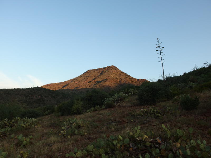
Sunrise on Table Mountain
Yesterday I had gotten stung by a wasp and spent the afternoon in a weird state. Well, it might have been the sting or the heat, not sure, but something was altering my heart rate, breathing, and basic reasoning skills. So I had called up Katie and stayed at Club Cabin instead of knocking out a nearby section of Sheep Creek Trail. Katie and Chris had spent the night at bottom of Davenport Trail, about ten miles to the west, and now all I had to do was follow the trail downhill to them.
Today I did feel better. Optimistic, even. I mean, I wasn't looking forward to the hike. Davenport is a drag, I've walked it twice before, and it is a faint and overgrown thing that is hard to follow. Plus it's a hot trail, dancing along the side of Table Mountain in the direct sunlight, and today was forecasted to be a hot day. No, I was optimistic about getting out of there. I really didn't want to call a chopper in to pull me out, nor did I feel like I could have continued on my planned loop up and over Chilson Camp. Hiking downhill to Katie and Chris seemed like an achievable, reasonable bail option, something that I could do that wouldn't put anyone in danger.
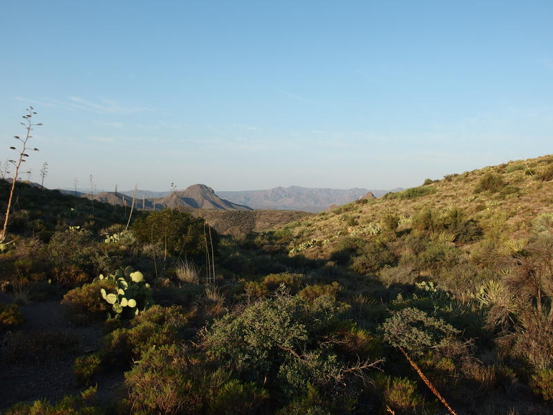
Long ways to Davenport Peak
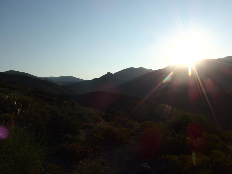
A hot sun rising behind
My optimism did dim a bit on the first climb out of Rock Spring. It's not much, a few hundred feet, though it was enough to send my heart rate racing and my breathing all wonky. I hate to blame all this on that wasp sting; I just have never felt so off before, not after a few days of hiking. At least there isn't that many of these climbs to deal with today. I took a minute to try to appreciate the views, the far-off Davenport Peak that was my approximate halfway point and the much more epic Mazatzal Mountains behind me that I should have been heading towards, before checking in with Katie and pushing on.
Just like the last time I was out here, over a year ago, I kept a mental checklist of the milestones along the way. The trail dipped in and out of a few drainages coming off of Table Mountain, and in order to minimize the elevation loss it sweeps south into the hillside and then cuts back north to swing around a saddle or ridge. Starting on the ridge above Rock Spring there were three - maybe four - of these to cross. After that there was a corral, then an old ATV trail, then the mesa, then another rocky road, and then the trailhead. I may not have planned to go this way or have a GPS track loaded up, but at least I had the general idea of how the day would go.
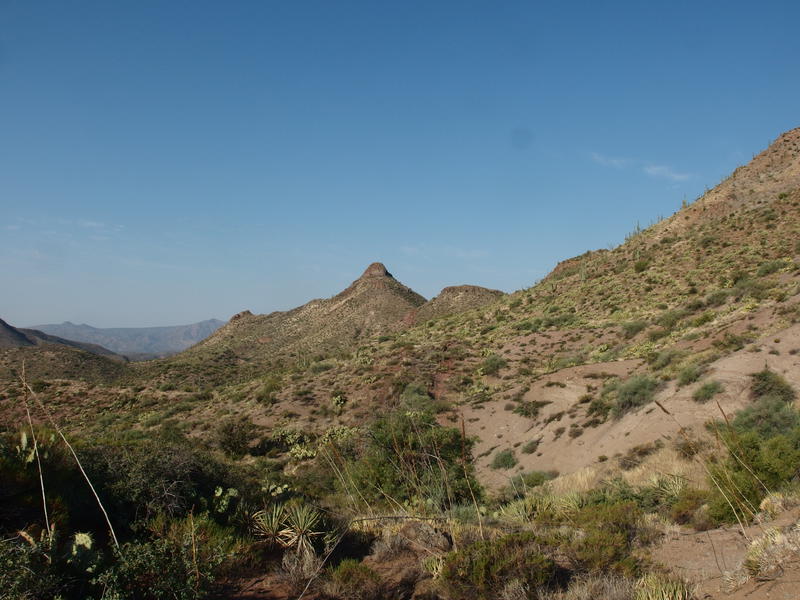
Easy milestones to aim for in the distance
Chris reached out to me on the DeLorme around eight (aside: he also has a DeLorme, which made communication during this ordeal really nice). He and Katie were getting antsy at the trailhead and were thinking about heading back to the dam. The hope was that he could find a way to get his vehicle across the Verde and just drive me out the last four miles between the trailhead and Horseshoe Dam. Plus, I think the two of them were getting bored and hot waiting for me. I couldn't argue with the logic, as I knew it would take me hours just to reach them, let alone hike out that last leg in full afternoon heat.
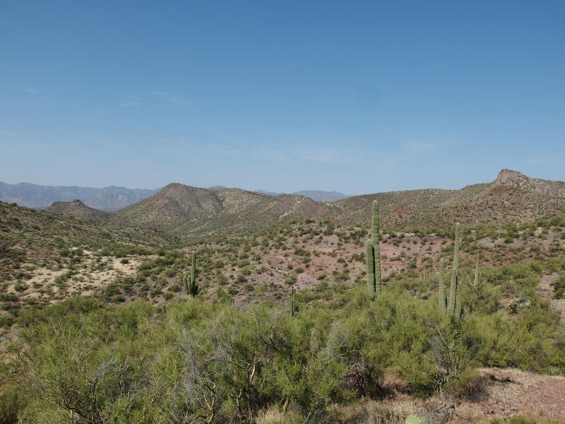
Desert scrub baking in the heat
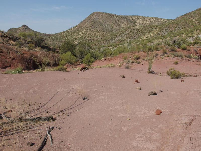
An easy cairned path to follow
While the scenery was boring, compared to the epic ridges and mountains from a few days ago, and the dim familiarity of the surroundings, and the fact that this was an early exit, I was able to follow the trail the entire length. Last time was my first venture into the Mazatzals and I struggled to keep on the tread, often bushwhacking for a few hundred yards at a time in hopes to eventually meet back up with it. Today there was one point that I followed an old game path, or maybe the old tread (I've heard that Davenport was rerouted in the last decade or two), and quickly corrected and got back on the correct route. So I guess I have a more accurate GPS track this time around.
Once I got past the worst section, a confusing section that crosses a deep wash that turns out is pretty simple to skip around, and topped a saddle that was just past Davenport Peak (aka the 'halfway' point), I got an update from Chris. They couldn't get past the Verde River. There is a driveway across the spillway of the dam that was gated and the river itself is too deep for his vehicle. However, they were able to find a ranger who volunteered to help out. So I guess this was turning into more of a formal rescue. I rounded the last big hill, passed by the corral, and tumbled down the old track and was well onto the mesa when I bumped into the a forest service truck.
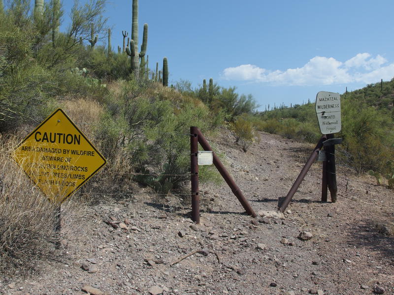
Finally past the wilderness boundary
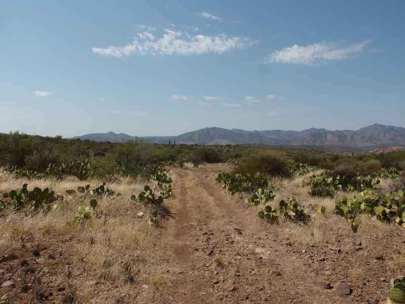
Two track along the final mesa
After confirming that I didn't need any medical he started pulling out gatorades and water bottles, which I downed about as fast as he could hand them to me. It was not quite noon and very close to a hundred out, and I only had a half-liter of water left in my pack that I was saving for the final four miles of dirt road. I was thirsty. I was also lightheaded and, after apologizing to the ranger, plopped down on a flat rock and was probably seemed a bit antisocial.
It was a bumpy drive down the last mile of trail and then easy going to the dam. Katie and Chris were waiting for me there with an officer and, besides being slightly annoyed that I couldn't find the water cache they left near the trailhead, seemed happy to see me. We then had the long drive around to Barnhardt to pick up the van. There was one break for lunch that I remember, though the rest of the afternoon is a bit blurry still. I'm still not sure exactly what happened out there that hit me so hard, whether it was the wasp or the heat or something else, but I am thankful to have a support network that was able to help me focus while I was in the wilderness and enact an early exit plan that got us all out of there safe.


-
Jacob P Emerick
Oct 4, '17
Indeed they have - and not always in the best way :)
Add to this discussion