Viewing posts about Ontonagon.

Bad Times on Lake Mine Hills

A steep, snow-covered climb

Mining ruins are not my normal hiking destinations. It's not that I don't find the old sites interesting or that I'm not drawn to the Copper Country's rich mining history, it's just that I find the natural beauty of the Upper Peninsula more appealing. Well, that and ruins are more difficult to…

  • Category Hiking
  • Posted January 28, 2013
  • read more

Irish Hollow Cemetery

Aged sign for Irish Hollow Cemetery

Dense fog broken only by scattered showers made my early morning drive to Rockland a stressful journey. There was no stars or moon to break the darkness, only thick, cloying whiteness and occasional city street lights. It wasn't until I was within ten minutes of my destination that the sun began to…

  • Category Hiking
  • Posted December 26, 2012
  • read more

Abandoned Lighthouse of Fourteen Mile Point

The Abandoned Lighthouse of 14 Mile Point

On a small point of land north of Ontonagon, MI sits an abandoned lighthouse. Built in the 1890s to help guide traffic from Houghton to Ontonagon along the unmarked coast this lighthouse was in commission for over fifty years before it was snuffed out. In 1984 a fire consumed everything but the…

  • Category Hiking
  • Posted December 19, 2012
  • read more

Wolf Mountain

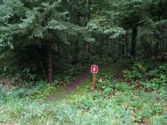
Park sign marking the start of the footpath

Far from my usual haunts in the Huron Mountains, Wolf Mountain rises 1,826 feet and is the highest point in Gogebic County. Emily and I drove north along a forest road off of US-2, bumping up and down on the rough two-track past Little Presque River through thick, green woods. It was a short drive,…

  • Category Hiking
  • Posted September 28, 2012
  • read more

Lookout Mountain

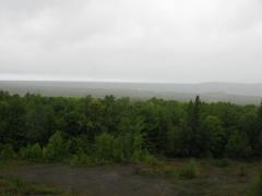
Cloudy view from the poor rock pile

Emily and I had just finished a long hike along Norwich bluff which left us soaking wet, cold, and tired, but there was still several hours of light left in the day. We drove down the bumpy Victoria road east from Norwich Road to the start of the houses near Victoria Dam, parking at a small gravel…

  • Category Hiking
  • Posted August 25, 2011
  • read more

Norwich Bluff

Misty two-track on the way to Gleason Falls

A cold, misty morning wrapped around Norwich road like a tunnel as I barreled south from Ontonagon. I was meeting a friend at the North Country Trail parking area near FR630 and was running late. It turned out that Emily was also behind schedule, and we met at the small parking area at the same…

  • Category Hiking
  • Posted August 21, 2011
  • read more

Cascade Falls

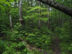
Early fork on the Trail to Cascade Falls

The parking lot for Cascade Falls was surrounded by a warm green mugginess after the morning's rain. It was easy enough to find, just off a well-maintained forest service road, mere minutes from Norwich Road. I stepped out and quickly put on a jean jacket and baseball cap in anticipation for the…

  • Category Hiking
  • Posted June 26, 2011
  • read more

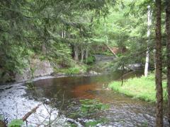
Ontonagon River

Ontonagon River near Jumbo Falls

As the largest river in the Houghton area and a distinctive brown hue, the Ontonagon River is a well known river. Many of its branches are simply named as sub names under Ontonagon - West Branch Ontonagon, Middle Branch Ontonagon, etc. With its huge watershed, the Ontonagon is the primary drainage…

  • Category Hiking
  • Posted July 9, 2009
  • read more

Activity Stream

  • Read 'Salem's Lot by Stephen King.
  • Read Elantris (Elantris, #1) by Brandon Sanderson.
  • Read It by Stephen King.
  • Read Mistborn Trilogy (Mistborn, #1-3) by Brandon Sanderson.
  • Read Tress of the Emerald Sea by Brandon Sanderson.
View more activities…