Lookout Mountain
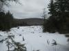
Emily and I had just finished a long hike along Norwich bluff which left us soaking wet, cold, and tired, but there was still several hours of light left in the day. We drove down the bumpy Victoria road east from Norwich Road to the start of the houses near Victoria Dam, parking at a small gravel turn off by an unoccupied white house. Lookout Mountain was south of here, along a section of the North Country Trail. North of us looked a bit interesting, though, so we took a short detour to the top of a large poor rock pile.
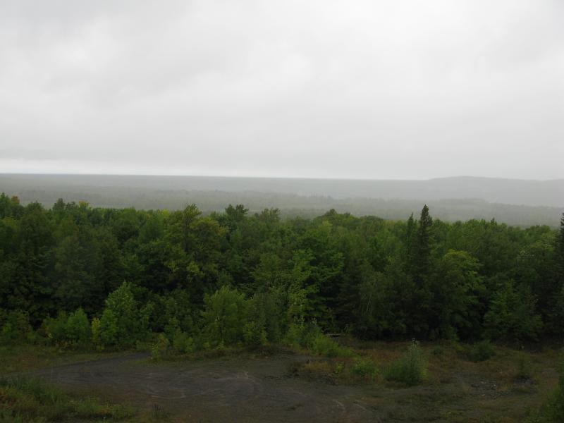
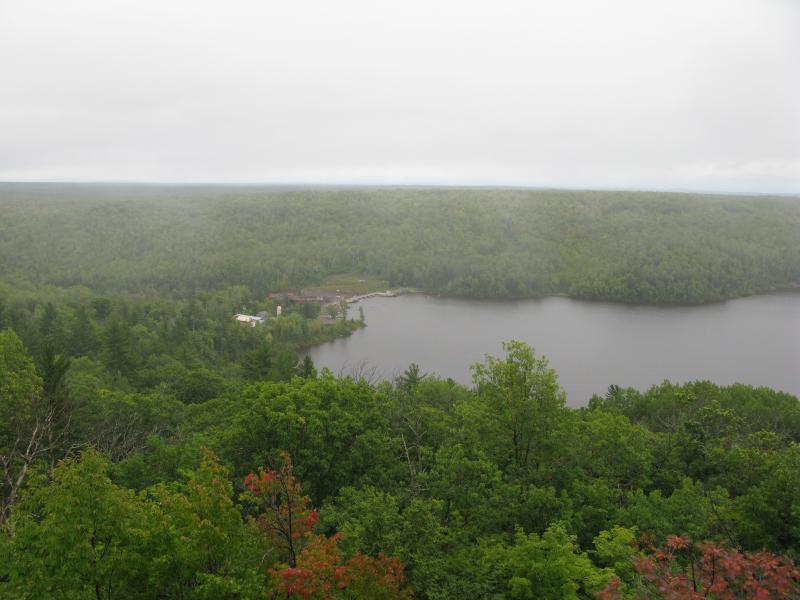
Cloudy view from the poor rock pile
The Victoria area is built around the ruins of a large, profitable copper mine from long ago. A historic town, some old names, and a large dam are all that remain here today, though. I am not sure where the exact shafts are located, though I did hold a small hope that Emily and I would find one today. We stood atop a large poor rock pile that cascaded down the hill below us, clearing a view of the Ontonagon River valley and some rain-shrouded hills in the distance. Behind us a few suspicious cement ruins lined up with the pile of rock, but no open or closed shafts gave away the source of the poor rock. After admiring the view we turned about and found the North Country Trail across the road, leading into the dripping green foliage.
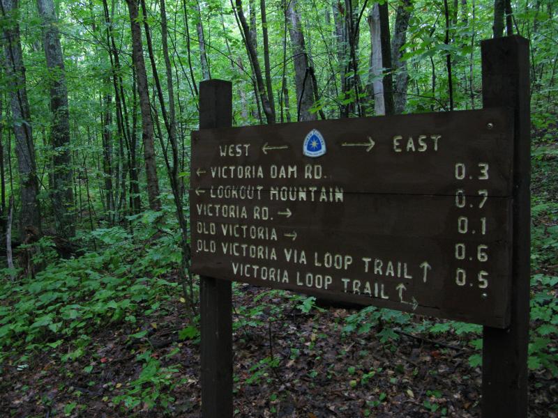
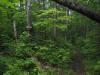
Sign on the North Country Trail
Unsure of the area, we wandered along the path until we found a large sign at a three-way trail intersection. Glad for some direction, we trotted quickly up and down the hills and around downed trees, hitting only one snag where an electric line crossed our route and our trail temporarily disappeared. After about a half hour we ran into a curious development - our trail cut due east across the dam's access road, away from the mountain. Confused, we turned around and headed back to the sign in the woods. I was sure that we read the trail wrong... We couldn't possibly want to head east.
We double checked the directions on the sign, which had pointed us down the trail we had taken, and also checked on the trail leading in the opposite direction (which we promptly lost after a few minutes, anyways). Frustrated, we went all the way back to the dam access road along the trail and continued past the point we had turned around before. Emily and I made good time this time - walking on the same path for the third time makes it easy to remember the twists and dips.
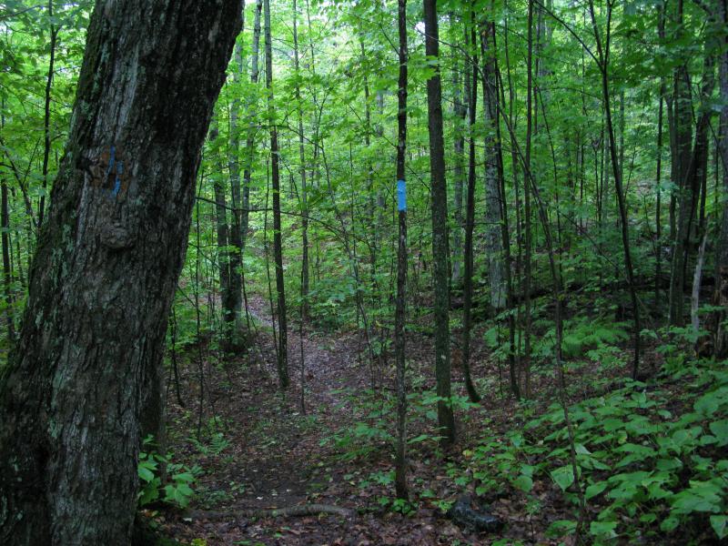
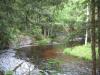
North Country Trail blazed path
After crossing the access road, our path doubled back and headed southwest. A more sensible bearing and glimpses of a view through the trees to the south cheered us up. After a short climb we came out onto a large rock outcropping with sweeping views of rolling green and the Victoria Reservoir.
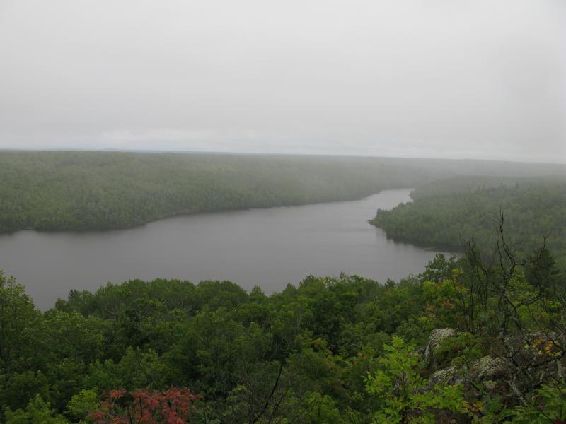
Victoria Reservoir from Lookout Mountain
The view that greeted us was pretty fantastic. We stood on the wet rock and drank up the sight, a cold wind drifting in from the east. By the time I started taking photos, curtains of rain were slowly rolling up the valley below. When they met us on the outcropping we turned around and retreated to the relative safety of the wooded trail, heading back to the car.
Victoria Dam from Lookout Mountain
From the outcropping we could see the entire shape of the reservior, winding along the original riverbed. The dam and overflow falls could be seen far below to the east, tiny in relation to the size of the water they held back. A small firepit and well-used campsite were also on Lookout Mountain. The view and spot was awesome, even if our hike to them had been frustrating. I'd recommend taking the short route from the dam's access road, just parking on the shoulder where the path (two-track wide) leads up to west - it's only a few minutes from here to an amazing view from the top.
Comments (1)