Winter Visit to Cliff Lake
Cliff Lake is a small body of water nestled against the southern flanks of Mt. Benison, located halfway between Big Bay and Skanee. There are two main routes to Cliff Lake: follow Cliff River north from the Northwestern Road past Forty Foot Falls or break off of Erick's Road where it meets Little Huron River Road and head east. Since I decided to tackle this adventure in early March, when Erick's Road is one of the few plowed drives in the area, I chose the latter.
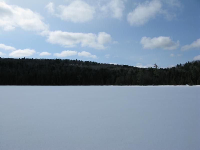
Ice Covered Cliff Lake
I was excited to jump out of the car after four hours of early morning driving, even if the forecast had lied about the sunny day. Thick flakes of fluff drifted lazily on my car, parked near the sharp northward bend of Erick's Road. I grabbed a few extra jackets for layers and headed southeast past the 'Private Drive - No ATVs' sign. This road was also plowed (surprisingly), making the first bit of my hike an easy walk.
After passing several cabins in the first half mile I decided to cut north. Cliff Lake wasn't my only destination today - there were several mountains conveniently just off my path. Walking off of the plowed drive was interesting - brown grass was peeking through under the larger pines and cedars, but I sunk knee deep into the snow in most other areas. A short trek downhill along this odd variety of ground took me to a frozen Little Huron River, easily crossed, and towards Tick Mountain.
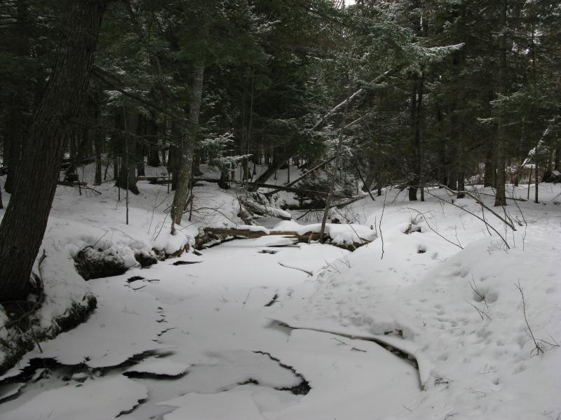
Little Huron River (Mostly Frozen)
Tick Mountain is a row of three peaks aligned west-to-east, with the tallest and steepest one being furthest to the east. All three peaks have steep southern slopes. I usually approach this mountain from the west, taking each peak individually, which makes for a gradual uphill climb (although there is still several hundred feet between each one). Today I aimed for the middle, tackling the steep southern slope on a slight angle along an icy crack in the exposed rock. When I finally made it to the top, I was greeted by an icy wind and a sub-mile visibility.
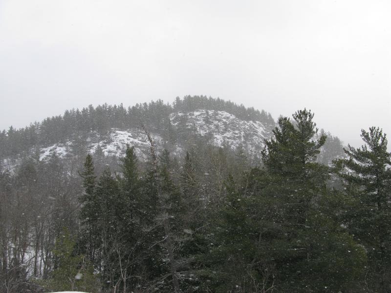
Snow Shrouded View of Eastern Tick Mountain Peak
I slowly made my way east along the middle peak of Tick Mountain, the thick snow and cold wind making a mockery of my sunny forecast hopes. I could make out the next peak ahead of me, rising up 200' above my current altitude with a steep southwest face. With the weather and snow there was no way I could just cut straight east, so I veered northwards. Directly between the two peaks was a deep 30' gorge that I slid down into, cushioned by the fluffy snow at the bottom.
Climbing out of the gorge and up the northwest face of Tick Mountain was easier than I expected, and I soon reached the highest point of the mountain. There was limited northern views, but even if there was, Lake Superior was shrouded by the snowstorm. I could make out some of the surrounding peaks, including a few near Cliff Lake, but nothing clearly. Below me, to the east, was a small outcropping that had escaped my notice in earlier visits.
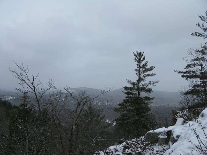
West from Tick Mountain Highest Peak
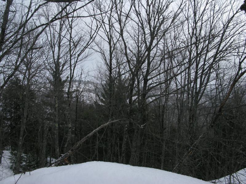
Superior Mountain through the Trees
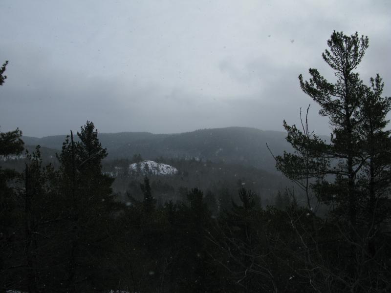
Rock Outcropping East of Tick Mountain
Trotting and slipping downhill, I entered a younger forest and deep snow. I plodded along, eventually crossing a logging trail with recent snowmobile tracks, before bumping into some orange markers that led up a slight incline. Unsure if my GPS was able to detect the small hill I had spotted from Tick Mountain, I followed the markings through unwelcoming brush until I came out onto an outcropping. The weather was slowly starting to clear to the west, giving me clear views of Tick and Superior Mountain behind me, but the view east was still obscured by the falling snow.
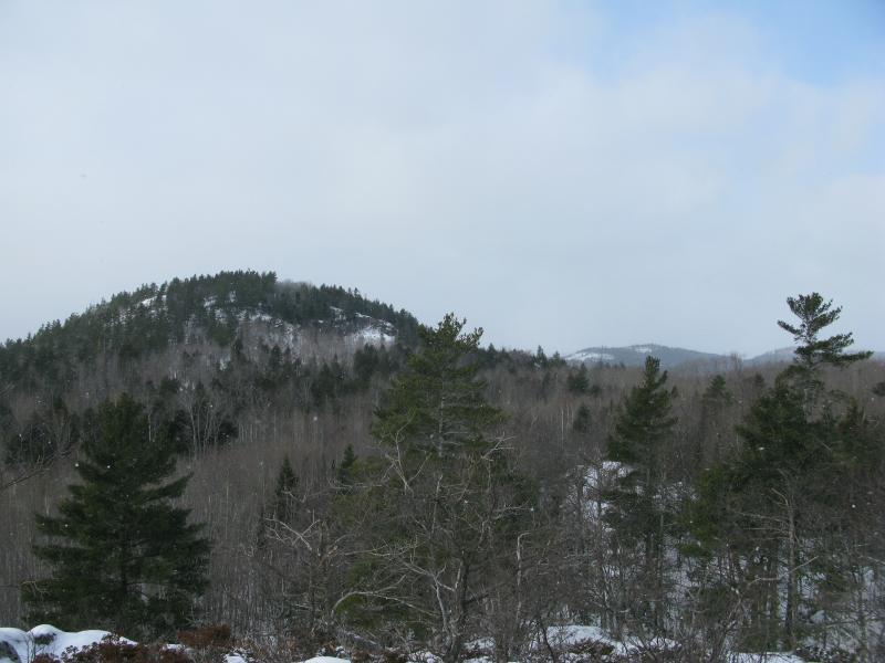
East Slope of Tick Mountain
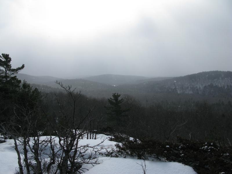
Hills Around Cliff Lake
I continued east, crossing another logging road before starting up Mt Benison. Contrary to some rumours I've heard, Mt Benison is not on Huron Mountain Club Property. In fact, it is part of the Anne and Cameron Waterman Preserve. The Huron Mountain Club borders it on the north and east, and part of the west (a more recent purchase). The south is bordered by unmarked land, which is the route I took today.
Mt Benison does not have a definitive peak, looking more like a rugged, gnargled tangle of high elevation without clear slopes or views. I slowly cut north on my eastward journey to avoid a deep cut just north of Cliff Lake, hoping to find some good views of the lake below from a few knobs northeast of the lake. My route took me through some of pleasant old growth and down some sudden icy gorges, although I suspect a summer trip would show off the mountain's wilderness a bit more (it is well off the beaten path and has not been logged in a very long time).
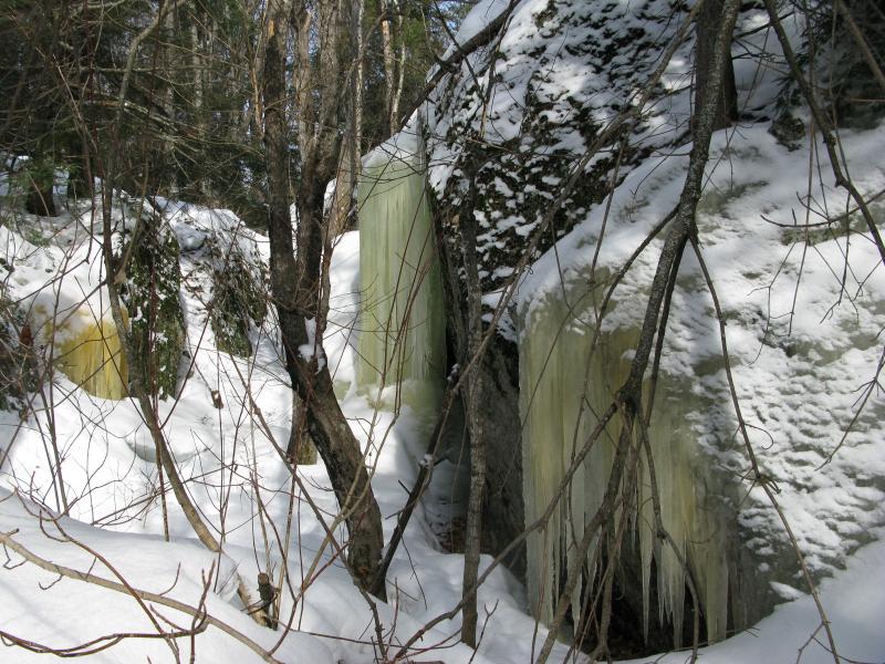
Ice Gorge on Mt Benison
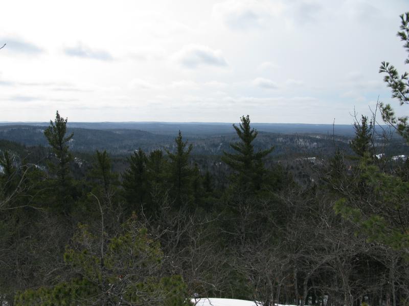
Looking South from Mt Benison
Before heading down to Cliff Lake I did find one nice view to the south over a now-sunny landscape. Cliff Lake was not visible, but the forested hills to the south and a few tempting outcroppings further to the east were. I then tumbled down hill, taking one good fall down a snow-covered ice patch, and found myself on a famaliar plowed drive.
Following the drive back west towards Cliff Lake, which I had overshot while climbing Mt Benison, Along the way I passed the reason why the road was plowed - ambitious loggers had been working on a large chunk of land in the area, cutting up some trees between the mountain and Cliff Lake. I found a sidetrack leading south to the lake with a few snowmobile tracks easing the route. This drive was considerably more rugged, as it had to climb up and cut through an outcropping on the north side of the lake. Eventually I reached a small, modernized cabin, complete with a guest house, on the shore of Cliff Lake.
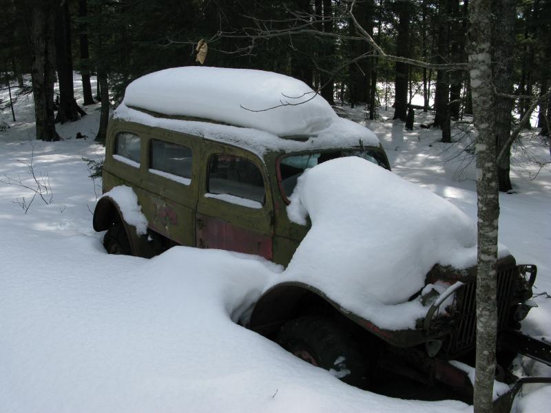
Abandoned Jeep
I cut a wide skirt around the cabin, heading west along the shore line. While most of the lake had a gentle shoreline, with easy slopes and trees bordering the water, the northwest had 20' rock cliffs bordering a tiny spit of water pointing due west. The way this spit juts out, combined with the lower swampy area below a rock plug, leads me to believe that the lake once drained out this way, merging with Little Huron River, until the glaciers curved out a new path to the east. These cliffs also led me to some outcropping clearings, with views of Tick and Superior Mountain far to the west.
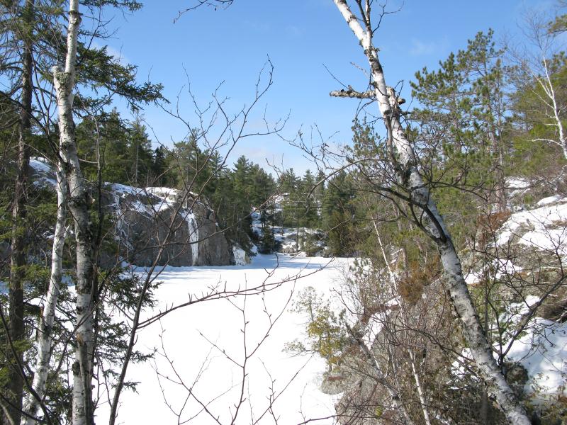
Northwest Shoreline of Cliff Lake
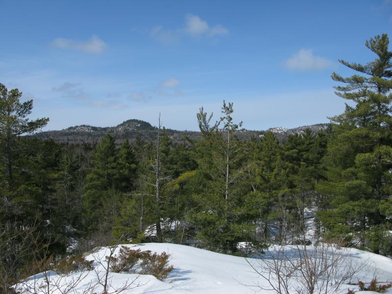
Looking West from Cliff Lake Outcroppings
After resting in the sun on a now calm and peaceful winter day, I headed down into the swamp. The mountains far to the west looked very tempting, with the sun melting off the snow-slippery slopes and better visibility beckoning, but my legs were threatening to cramp as I plowed through the deep snow. After a too-long plow through the softening snow of the swamp I bumped into my original route in, the plowed drive, which made an easy walk back to the car.
While my primary destination was Cliff Lake, I had found a number of interesting spots that bear some further exploration. Mt Benison may have few knobs and outlooks, but it's remoteness and unknown features does intrigue me. Also, there was several exposed outcroppings southwest of Cliff Lake that promise much closer views of Mt Benison and the hills around the Huron Mountain Club than I have gotten from my usual peaks. I'm looking forward to checking out this area in the future, quite possibly from the easier Northwestern Road access point.


-
Jacob Emerick
Aug 8, '11
Hi Riddler, that'd be awesome! The only good view I got is pictured above - I was pretty tuckered out by the time I started climbing Benison. What approach do you usually take, from the south or west?
-
Riddler mOOse
Aug 12, '11
Jacob, These co-ords are on a rock out-cropping with a not so great view. From these co-ords head east roughly 100 yards and down a little hill through the woods (on an old skidder trail)then turn south for another 100 yards (roughly) and the woods will open up to a huge sloping rock out-cropping that is 100x80 yards wide. You will be able to see the entire Cliff Lake valley to the south and the Cliff Lake Club Camp on the hillside a few miles to the east. Your position will be half way up Mt. Bennison north of Cliff Lake. There is an old hunter quad trail that heads up the mountain to the co-ords I have on this post that approaches from the west side off the main road. We hiked a little bit one day on Bennison and came a cross a cave. Neither of us had the guts to enter it though and Like a fool, I forgot to mark it. The main road that leads to the quad trail on the west side of the mountain and is sometimes gated, sometimes not, a mile south of the quad trail that heads up the west side of Bennison. In the yooper world a closed gate means you aren't welcome and an open one says welcome and tread lightly. If you are interested, once down the mountain you can hike from there on old logging roads to Forty Foot Falls. It is quite the walk though. I was there this past June and there were fresh Moose Tracks galore between Bennison and Forty Foot Falls. The land is supper hilly between Bennison and the Northwestern Road to the south. I was amazed at the amount of moose tracks in those hills as I always thought that moose preferred low land swampy areas. Bennison outcropping;N 46* 51.744'W087* 58.453' Forty Foot FallsN 46* 49.945'W087* 58.733'Best of luck to you!
-
Jacob Emerick
Aug 14, '11
Thanks for the coordinates! I'll have to revisit and look for that slope. I've been to Forty Foot Falls before... I usually approach it from the south (from the NW road entrance). There's a two-track that I've taken a car down (barely) that takes you right to the falls. One time I took a more scenic route, following Cedar Creek from the NW road up near Mountain Lake, then taking Cliff Creek upstream... it was a bit of a hike (especially for snowy April). That's really interesting about the cave! Were you that far off of the quad trail? Also, how far up the mountain have you been? One of these days I'd like to climb Benison up and over to Mink Run, but I need to take a smarter approach. Every time I tackle it I climb a few mountains on the way in (Tick/Cliff/Superior) and am tuckered out by the time I make it half way up Benison... Thinking that an approach from the NW road might be easier, circling around Cliff Lake from the east.
Add to this discussion