A Hike Around Cliff Lake
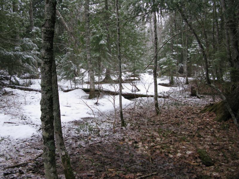
Snow plummeted from the sky. The large lake-formed flakes didn't swirl or drift like normal, like they were designed to do. They cut through the woods on a stiff breeze and tumbled onto the leaf-covered ground. At first the flakes melted quickly on the warm ground. Then, steadily, a thin white covering began to build up over everything around me. I let out a deep sigh. It was far too late into spring to deal with this type of weather, for snow and subzero winds. My footprints on the slopes around Cliff Lake that morning were quickly smothered out by the damn stuff.
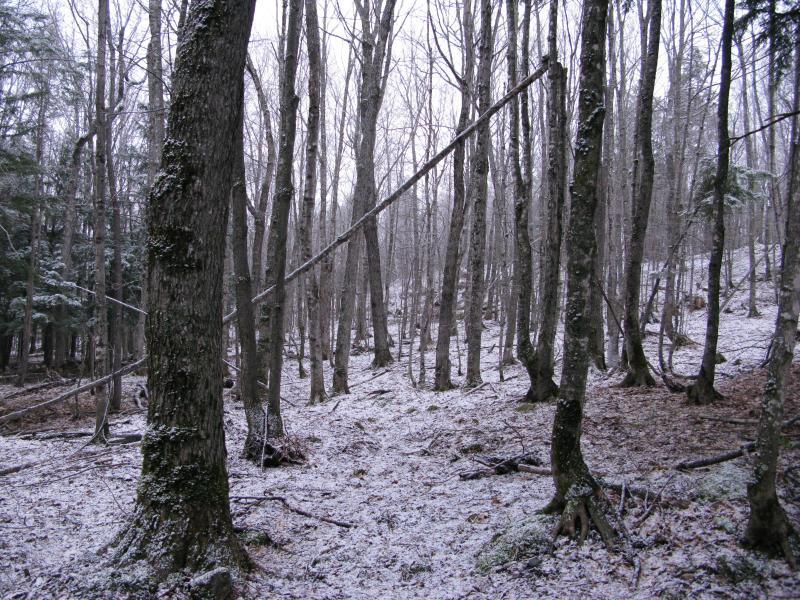
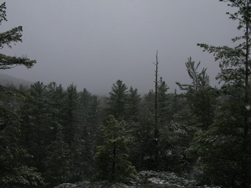
Fresh spring snow in the woods
Yes, I was back on Cliff Lake. It had served as a great ending to several of my hikes, a last destination after climbing Tick Mountain or Mount Benison, and I usually just poked along the northwest shore a bit before bumbling back to Erick's Road. My plans today were much more focused: I wanted to hike a full loop around the remote lake.
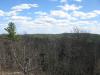
Cliff Lake was not my first destination, though. I headed southeast, slowly climbing the hill, and remained about a half mile above the lake in a roughly-parallel route. I wanted to check out some some exposed ridges first. I had noticed them on a few aerials, one ridge looking east over Cliff River and one looking south to Benison itself. The view of Benison was key, as it was difficult to get a good view of that beast of a mountain, especially the south face. The weather decided that I wasn't ready for the views, though.

East across the Cliff River valley
A dim outline of a hill greeted me over Cliff River from the first ridge. I hadn't gained enough elevation to peer over the trees down over the river and the snow was too thick for me to make out much on the hill. There was a rectangle of white that poked out, possibly from a cabin near the top, and the rest was grey-brown trees. Out in the open I got the full force of the weather, pelted by cold and heavy flakes, and I wasted little time ducking back down into the woods.
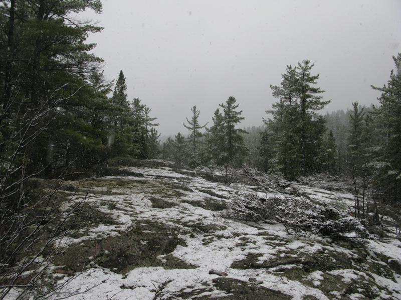
Trees still bare of leaves offered me some protection from the snow (and much more from the wind) but it was the cedars and pines that gave me true sanctuary. My path zig and zagged a bit, moving from one brown spot of earth to the next, always aiming for the sheltering cedars. Less than ten minutes after the first ridge I bumped into the second one, the outcropping that was aimed right at Mt Benison. There was nothing to see. A combination of tall trees, relatively little difference in elevation, and a thick white shroud hid everything from sight. Disappointed I clunked and skidded down the slope.
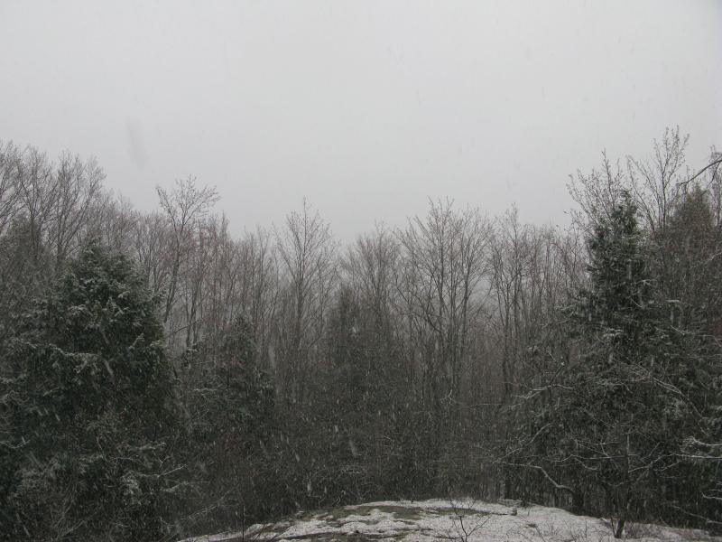
Disappointing view south over the lake
I headed straight for the lake. There was no other detours, especially with the curtains of snow that continued to fall (percipitation was so not in the forecast). I was a bit apprehensive about what I would find. The northern shoreline was rocky, a bit difficult to follow (especially with a cabin to circle around), but the south side was unknown. Did the forest march straight into the water? Would I even be able to see the lake without wading into a grassy/swampy wetlands? What exactly was I setting myself up for?
My first break came a few hundred feet from the shoreline. The trees around me had so far been a standard hardwoord mix, tall and leafless with the occasional pine and cedar cluster. Near the lake the cedars took over, providing a thick and warm blanket from the wet snow and little to no undergrowth to push through below. While they did march into the water, shorter trees blocking most of the view into the lake, there were plenty of breaks for me to peer through the wintery scene.
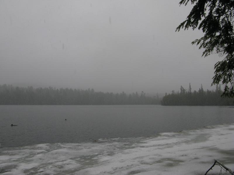
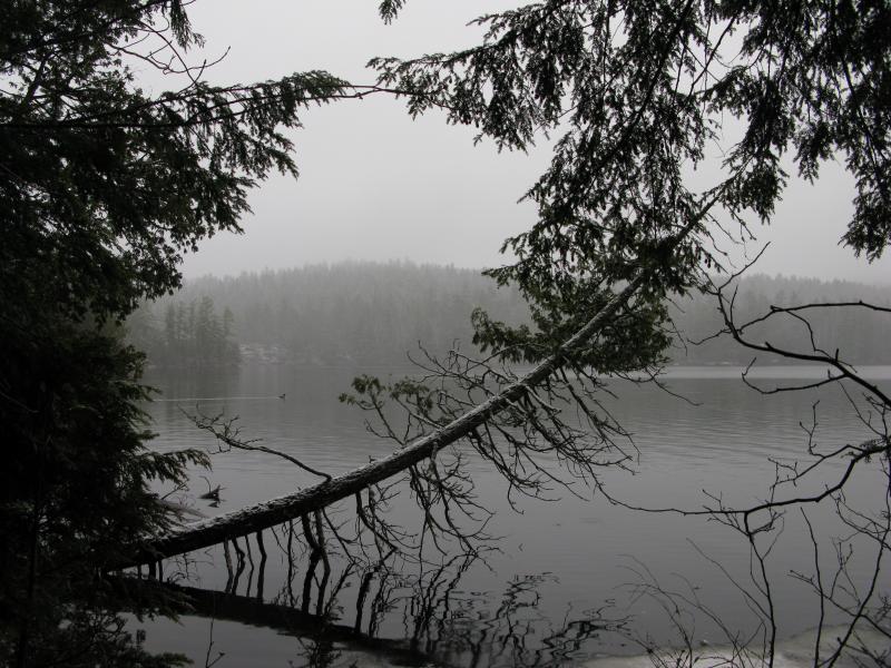
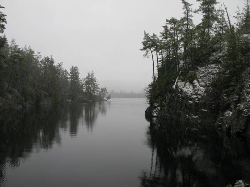
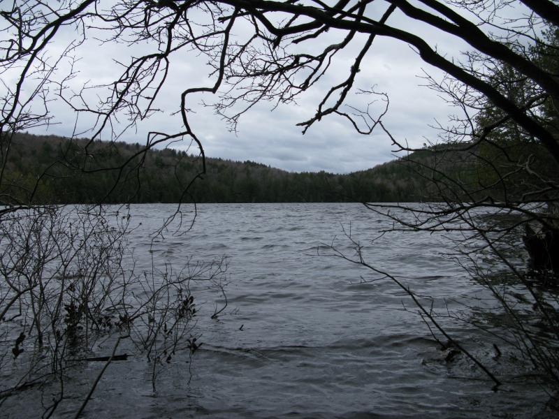
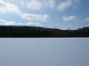
Snowstorm over Cliff Lake
A snowglobe. I was trapped in a snowglobe. Ice stretched out into the grey water, trees lined the shore, and beyond was white. There was more to see - Mount Benison to the north, ridges in the east, mountains to the west - and the snow hid them all. Two ducks swam a few dozen yards away, unconcerned with a clumsy wet giant like me, all of us surrounded by cold wet plops raining down.
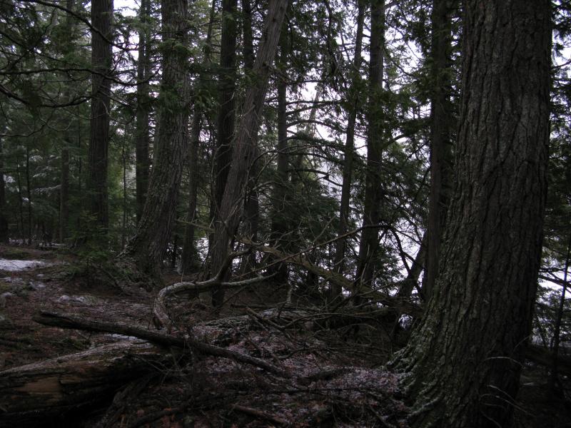
Big cedars along the shoreline
I turned and headed west. There were huge cedars here, at least a hundred years old, and fallen giants all around. It was pleasant hiking out of the snow with only a few trunks to climb over and clean forest floor to stride across. I took my time. Every once in a while a break opened up and gave me a slightly different view over the lake than before. I started to notice that the ducks were following me. I had a tail. A duck tail. Heh.
Low slung trees over the cold water
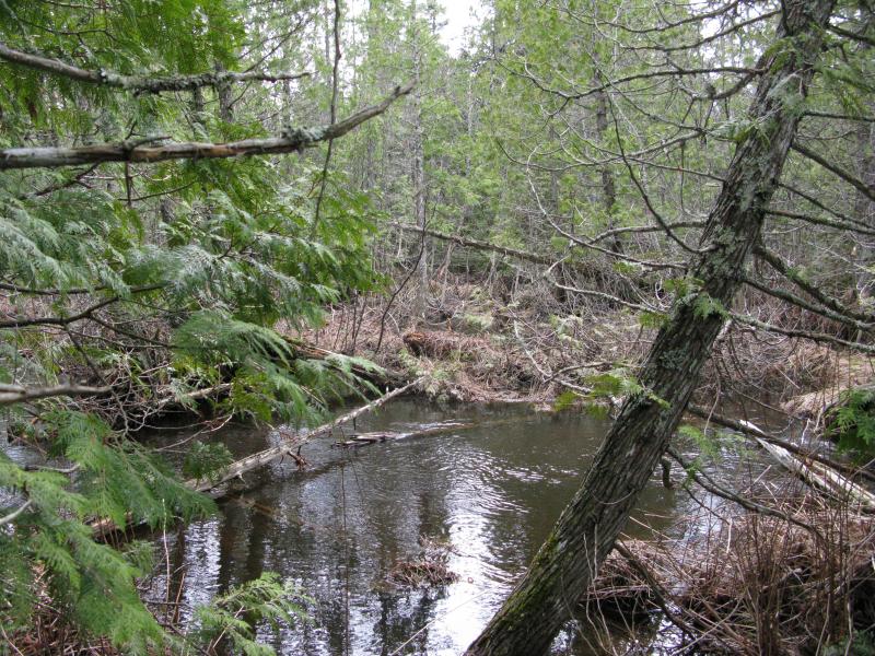
By the time I reached the western shore the peaceful route had lulled me into thinking this entire hike would be easy. The creek was a rude awakening. It was a small creek, probably barely flowing for most of the year, but now it was swollen with the spring melt. Large drifts of snow surrounded the cooling waters, separated by stretches of deep sucking mud. The woods turned all tight and scraggly, narrowing my paths to short little corridors. I sloshed forward, soaking my boots and lower jeans.
Piles of snow near the inlet creek
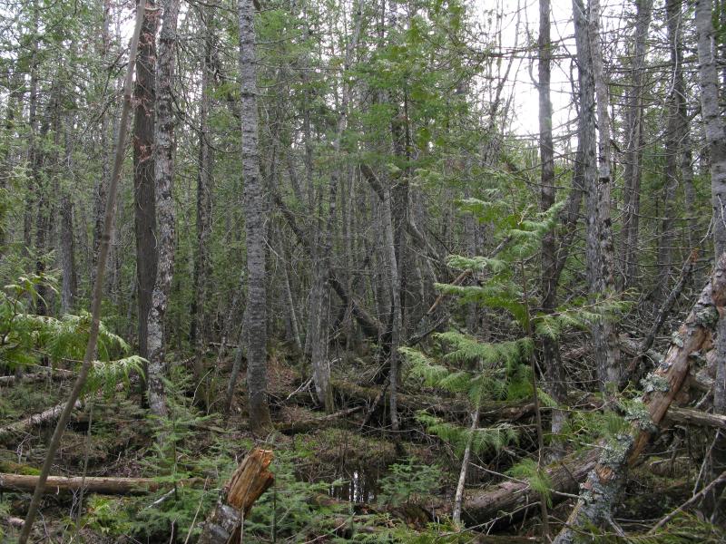
The far side of the creek was little better. Cedars were a forgotten luxury now - everything was small and scraggly, clawing at my clothes, impeding my route forward. I tried to find downed trees to balance on, the narrow trunks and annoying branches threatening to spill me into dank ponds on either side. When the outcroppings started to rise up around me I quickly scrambled up the crumbling rocks, up and away from the shoreline.
Slick snowy ridge on the western shore
The first clear rock ledge didn't offer much of a view. Tick Mountain was probably out there, somewhere to the west, and was completely obscured by the snow. Cliff Lake was hidden by the surrounding trees. I followed the ridge, moving along the narrow protusion that points northwest like the tick on a fat odometer. The exposed rock was slick and wet with the snow, some spots covered in inches of fluff, and my route slowed to a slanted shuffle. I was grateful when I finally saw the water again.
Falling snow near the steep shoreline
The northwest point had long intrigued me. I'm fairly certain that the lake once emptied this way, that Cliff River entered from the south and poured out this way towards Little Huron River. The elevation and rocks are all set up to allow water through and down. Whatever force of nature had carved the deep channel off to the east, diverting Cliff River to flow that way after the barest brush with the lake must have lowered the levels a bit and cut off this exit.
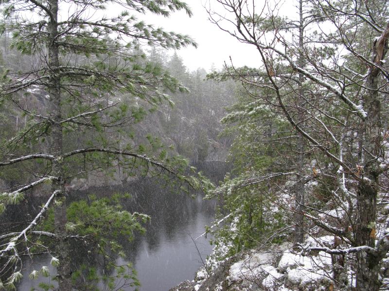
Now I had to lower myself down to this low point, the very tip of the point. It was not easy, not with the snowy rocks and wet undergrowth. When I did finally touch down I was surprised to see the lake still leaking out this way, a bare trickle from one little pond to the next, slowly tracing a way down towards Little Huron River. It was neat to see, the possible remains of a once-main watercourse, even if it did complicate my route. I now had wet spongey ground on top of towering canyon sides to deal with.
Looking up the steep narrow channel
Rock walls forced me left, away from the lake, before letting me climb up onto the ridge. By the time I made it to the top of the outcropping, onto the north shore, I was fairly soaked through. My boots and jeans were wet from pools and snow of the lowlands. My hat and jacket were wet from the ever-falling snow. Even my gloves were wet from grasping onto covered branches. I took a look west, where the weather was pushed from, to see what was out there. A grey wall loomed out there.
Nasty dark skies to the west
I turned and headed east, parallel to the lake. The north shore was not new ground - I had walked it several times before - and I was more interested in sticking to dry ground for the next leg of my hike. Cutting through the sheltering pine woods, slowly gaining elevation as the ground passed underneath, I made a line for the road that would lead me to Tokiahok Head and left the shore behind. The protective woods were a welcome break from the snow and wind, and when I bumped into the two-track I felt ready and rested for the long hike ahead.
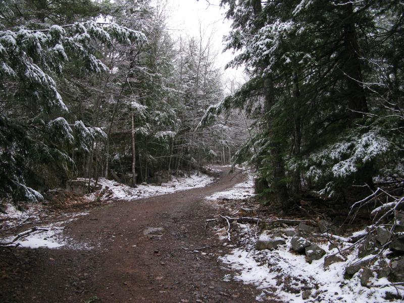
Easy winding road leading away from Cliff Lake
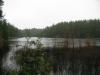
Once I returned from Tokiahok I was on the other side of Cliff Lake, far to the northeast. To my right lay rocks and pines and outcroppings, a mixed bag with a cabin in the distance. To my left, down the eastern shore, was swamp. By now the snow was gone and a strong wind whipped across the water toward me, small waves crashing against the lowlands and chilling my wet clothes. This wasn't going to be an easy route.
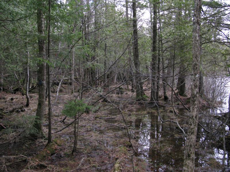
Soggy eastern shoreline
A whisper of a path led into the swamp, briefly raising my hopes before it disappeared a few dozen yards in. Walking was not really an option here. I jumped and skipped from one dry patch of grass to the next, trying to stay close to the lake and keep my bearings. Trunks and root systems became resting places, decaying fallen trees a mushy zig-zag path. About twenty minutes in I bumped into the first waypoint and my route went from bad to worse.
Choppy water under the cloudy skies
Wide, deep waters of Cliff River
The outflow of Cliff Lake was a wide, impossibly deep channel cutting across my path. Between the wind pushing the water towards me and the spring melt there were no banks, just knee-deep water surrounding hip-or-deeper water. By now I was stuck in the downed trees, sometimes six feet above the flooded ground, other times an inch or more under along a sodden and decayed cedar. But there were few trees that crossed this channel, the main connection with Cliff River. Creeping along the edge of the water I searched for a way, a beaver dam or log or something, and finally found a tangled group of wrist-thick branches that leaned half-way across. A careful sidestep followed by a crazy sideways jump onto a pile of mossy decay and I was on the other side.
My way continued to worsen south of the channel. The pools of water before the crossing was now the default ground cover. Some water drifted west into the lake, and then five minutes later would switch direction and empty out. The wind must be playing havoc on the normal flows, if there was such a thing. Cliff River is not actually attached to the lake, just runs very close by, and this swamp must leach the water in and out of the lake depending on the levels. While the channel was definitely pouring out, the rest of the lowlands had yet to make up their minds.
Jumbled mess of trees and swamp
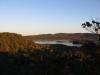
Almost two hours and three hundred yards later I was eagerly climbing up the south slope again, away from the swampy east shore. My loop was complete. There was some potential future visits left here - some rocky hills off the western shore, some CF land up by Turner Point, even a repeat stroll along the south shore of Cliff Lake - but there was no chance I would ever try the eastern shore again. I took one last look over the now-blue waters through the trees before heading out for dry clothes and warm food.
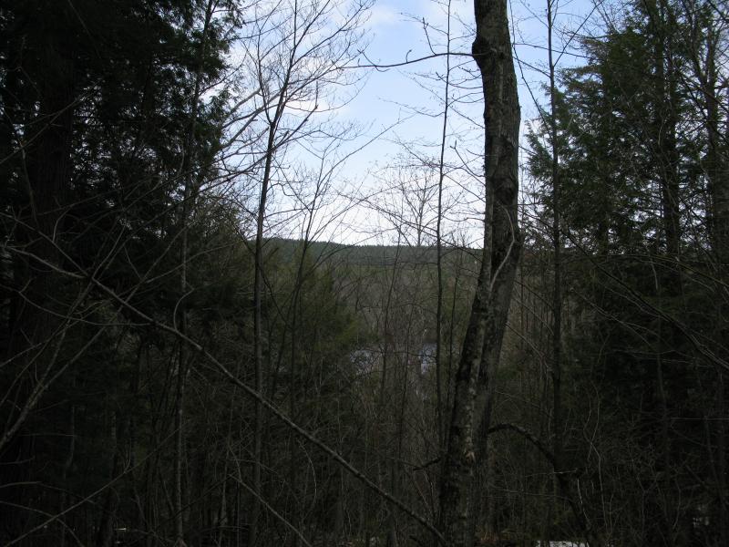
One last look through the trees
Comments (0)