The Search for No Name Falls
Dull grey seeped into my tent signalling a long-awaited end to a miserable, sleepless night. I scrambled around in the frigid air, pulling on stiff clothes and grabbing prepared gear in a rush to start moving on a long hike. My campsite was less than ideal even though I had took pains to pick the spot. After a dark drive up the Herman-Nestoria Road I hiked over an hour in a light, but cutting, rain along a flooded two-track. US-41 is over three miles to the south and I hoped that a combination of this distance and a carefully chosen site would shield me from the highways sounds. It did not. The roars of semis and speeding cars, combined with the cold temperatures, kept me tossing and turning all night long.
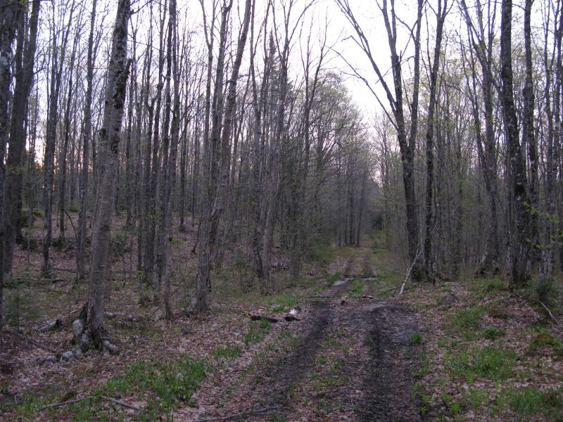
Dull light along the two-track
This hike had a solid three years of planning behind it. During my waterfall adventures of 2008-09 I had bumped into many questionable drops, including a 'No Name Falls' that was located 'just off the Herman-Nestoria Road'. After several searches along the numerous tiny creeks that flow into the Sturgeon River near the road Logan and I finally found an impressive set of falls nestled deep in a rocky crack on an unnamed creek (that could be more accurately described as a crooked line of swamps). Years later doubts still bugged me, though. Did I truly find No Name Falls or is there another, well-traveled waterfall out in this hilly area? I decided to do a thorough search of the area in hopes of settling my doubts, so this morning I set out on a long route along the northern edge of the Upper Sturgeon River valley.
Logging roads provided some easy access close to the main road, so I followed one west and south towards the Sturgeon River. I passed by a few swamps still spotted with last fall's brightly colored leaves and surrounded by rocky outcroppings stained with damp moss. One of particular interest was a unique swamp with a large open circle of vegetation in the middle. I've noticed several swamps like this on my hikes, but this one was particularly large and Katie and I had nicknamed it Donut Lake. When my road got near I veered off and took a few pictures with the rising sun providing stark contrast to the calm, murky waters.
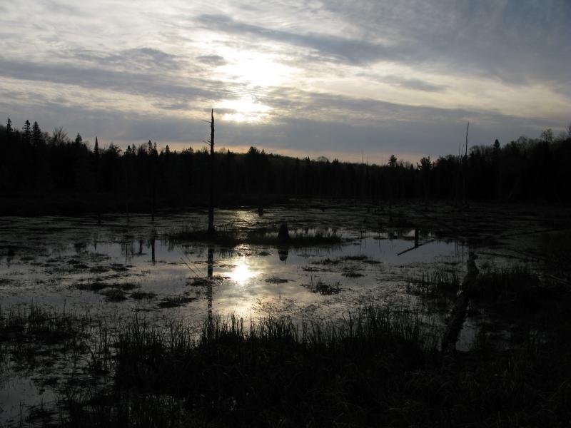
Rising sun over Donut Lake (or swamp)
The road started to disperse so I cut southeast to where Logan and I had found the waterfall several years ago. Choosing a odd approach I headed straight down the valley side, going directly to Sturgeon River first and bypassing the falls. The river was calm and peaceful in the early morning, and thanks to a convenient bend I was able to view far upstream. The south side of the river was flat with unbroken lines of trees while the north, the side I had just came down, rose quickly with various types of trees marching up to the highlands above. I had hoped to see an outcropping poking out to the north but the budding trees covered the hillside, so I turned back to the unnamed creek and waterfall.
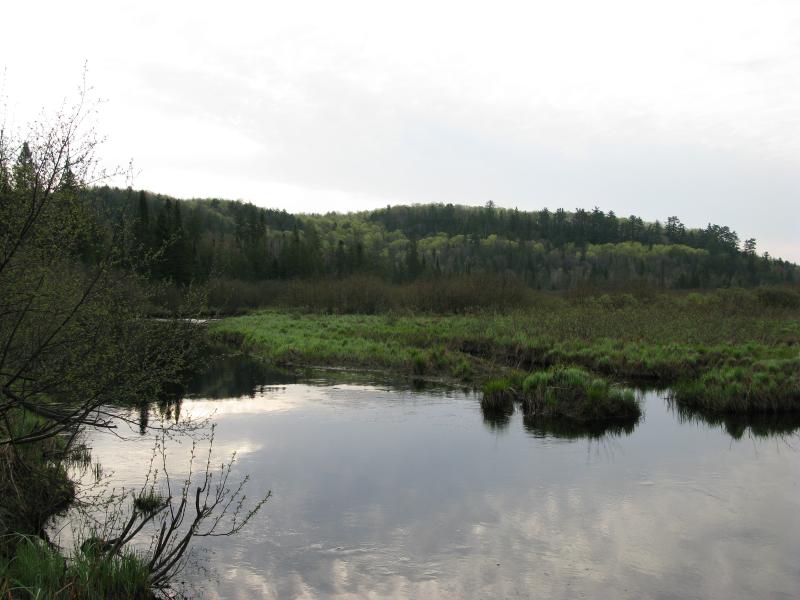
Upper Sturgeon River and northern highlands
After the openness of Sturgeon River's banks the tight enclosure of the creek was oddly welcoming. I could make out familiar drops and rock formations along the set of drops even with the spring's melt swelling the small creek. The bottom falls are the most impressive, with the water splitting and rejoining over a myriad of rock formations that slowly increase in height until the creek all but disappears under piles of rocks cluttering the top half. Losing myself in finding the right angles, careful judging the wet mossy footholds, and poking up the narrow canyon I came to the top of the waterfall too soon.
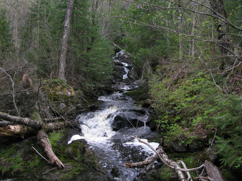
No Name Falls, lower drops
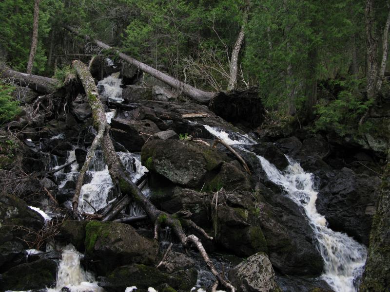
Cluttered middle drops on No Name Falls
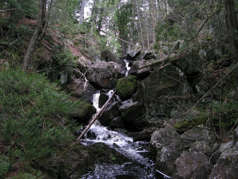
No Name Falls, upper drops
There is a few small creeks to the east, including the outflow to Kortio Lake, but I headed the other direction. The southern edge of Upper Sturgeon River's valley decreased quickly upstream and those creeks did not have drop far to the river. I ventured back to the logging road for a while before cutting west to a small, dark swamp. From my maps I had assumed that this swamp would have as large of a watershed as the unnamed creek behind me. The tiny outflow over small, staggered drops was very disappointing. Hopeful, I followed the water half way down the hill before giving up. Less than a third of the size or flow of the first find there was no way that this was No Name Falls. A significant irritating factoring had also entered into my hike that squirmed its way into my decisions… tiny biting bugs small enough to get sucked up into my airways and buzz behind my glasses.
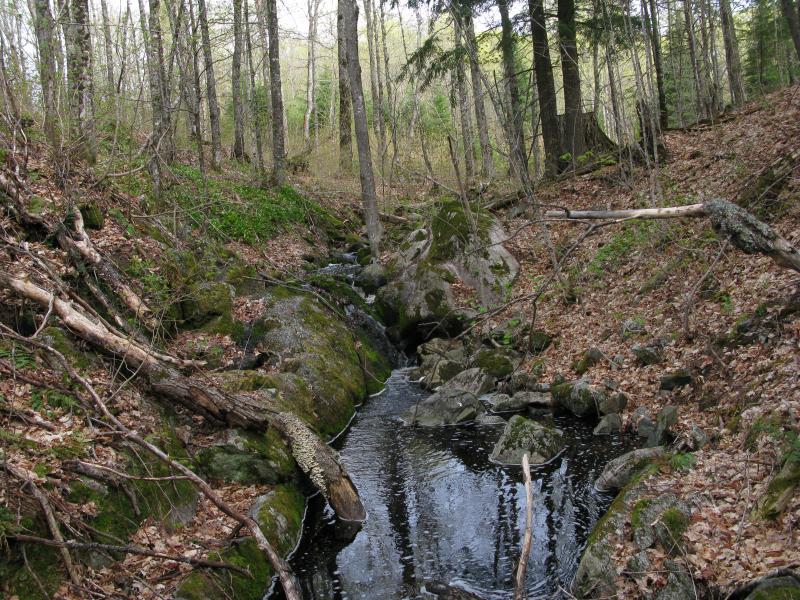
Tiny drops along a tiny creek
My carefully planned search had started to turn into a frustrating tromp through swarms of bugs. Turning around was not an option this early into the day, so I continued along the northern ridge of the river valley, blowing bugs out of my nose and coughing when one hit the back of my throat. Without any other guide but the elevation I pushed along and suddenly bumped into a view I did not expect and would be hard pressed to find again.
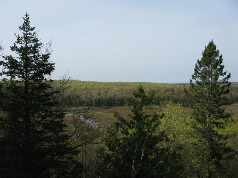
Overlooking upper Sturgeon River
Somehow I had found an overgrown view overlooking Sturgeon River! Trees reaching up from below probably hid all hint of this rocky ledge from below and the narrowness of the outcropping would be hard to spot from satellite photos. A slight breeze gave me respite from the pestering bugs and I thankfully sat and enjoyed the view below. The river made a gentle sweep to the south, surrounded by low grasslands. This was exactly the break I needed.
Eventually I got back up and continued west. There were two small creeks a short distance from the outcropping to check out, as well as more drops further away. Unknowingly I was also getting closer to civilization as well. Neither of the creeks were impressive, with most of their drops hidden below boulders or covered in fallen trees. Just past these two creeks I bumped into a half-finished cabin along a well-traveled two-track. Within view of the cabin was a mobile home, a further removal from the peaceful wilderness I had been enjoying. Disappointed I cut back up the hill away from this spot and the road, finding yet another creek with scattered drops and swamps. This one was a bit more picturesque, with a large beaver lodge at one end, although it still was not as impressive as the original find of the day.
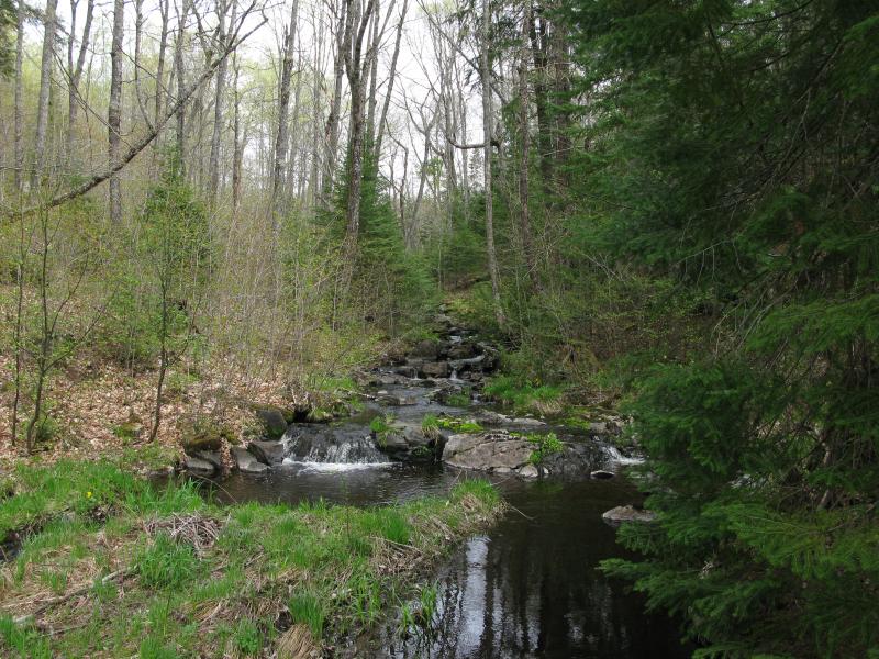
A tiny, but picturesque, waterfall
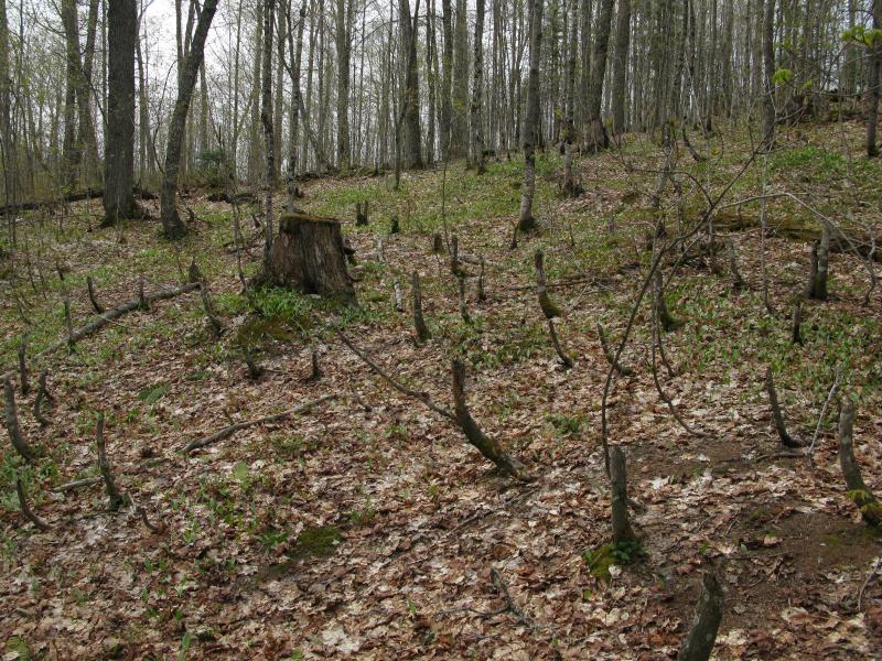
Beaver activity near a small pond
Climbing up and down the valley's ridge while battling the tiny bugs was starting to exhaust and frustrate me once again. I sprawled out in the woods on top of a fallen log. In between short naps I thought about the hike. There was still a few more points I wanted to hike to, although every one of these would take me further and further from my campsite. When I got up to continue I had decided to compromise a bit. I followed the picturesque creek back down the hill to the base, finding a well-decorated culvert at the two-track I had left behind. Taking this west a short mile I bumped into power lines and an unmarked gate. There was one more small creek just uphill along the power lines, so I climbed up the hill, passed a hunting cabin, and found a small but cute set of drops nestled in the rock.
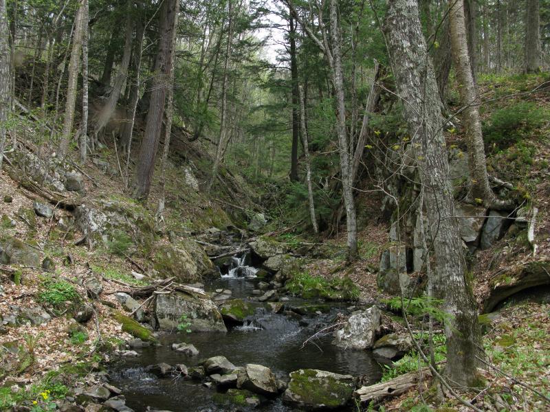
Trickling falls in a narrow canyon
It was time to head back now. Back on the road I finally headed east. With the bugs letting up in the open air I decided to make one final stop, one that I would soon regret. The Sturgeon River was located to the south and had a traveled over several sets of rapids before entering the Canyon River Falls area. I set off south through impossibly thick brush to find one of these rapids and was quickly surrounded by flying insects. Half walking, half crawling I made it to the river and the grass, spitting out bugs and cursing my decision. Several interesting sights greeted me when I made it to the river, though.
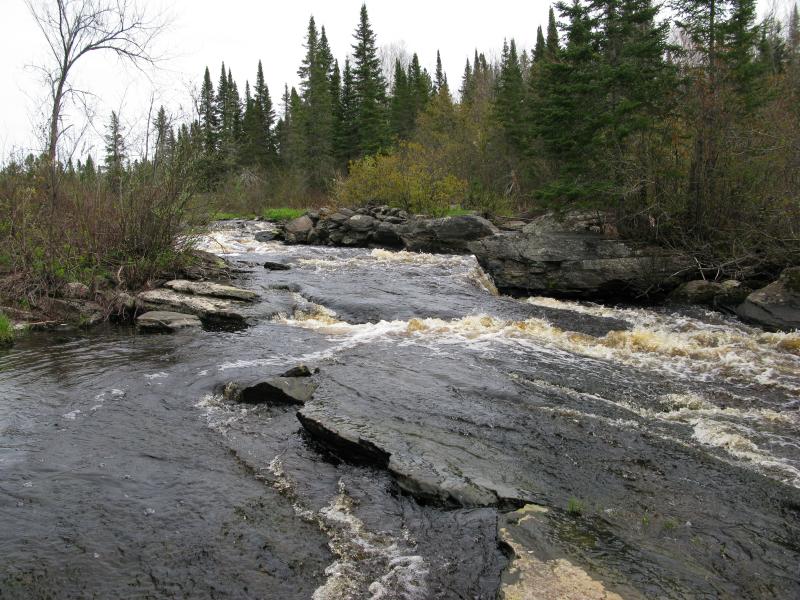
Sliding rapids along the river
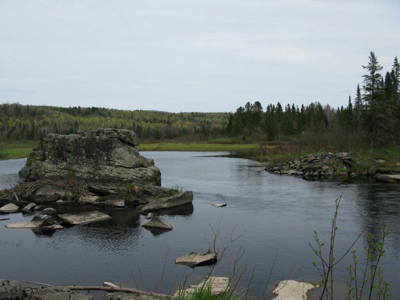
Tired, weathered rock guarding the river
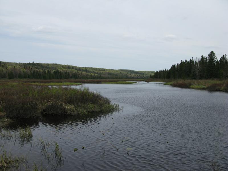
Looking up Sturgeon River valley
There were rapids, though they seemed pretty mild and shallow. At the head of the rapids a large rock stuck up, weathered and worn by time. Hopping over unstable rocks I climbed atop the rock and got a peaceful view upstream. The hills to the north and the gently swaying grass in front of me was a calming reward to the nasty walk in. While the rock was not the most comfortable thing I've sat on it was a pleasant break from my hike and a good spot to regroup for the last push back. I took advantage of the scene and waited a long time before continuing onwards.
A similar push through the brush back north brought me to the logging road and the base of the ridge line. I followed the road east, past a few buildings (including the mobile home and half-finished cabin). The road curved a few times, slowly climbing the ridge line, before settling down to a suspicious direction. Sure enough, several miles down the road I found myself right back at my campsite in the mid-afternoon. My hike was over and my doubts gone to rest. No Name Falls was the first waterfall I visited and the same set of drops Logan and I visited years ago, and the information on my waterfall site is correct.


-
Jacob Emerick
Oct 14, '12
Thanks Joel! That was actually the plan to go all the way to the bridge but I wimped out too early. On one hand I wanted to explore the unnamed creeks and their falls flowing in from the north side of this 'valley', but on the other am still interested in the rapids/falls of Sturgeon River above Canyon River Falls. There are a few rapids-like features on the river near there. Anyways, I think I've been to the bridge before (traveling along old US-41) but it was years ago and I don't have pictures to show for it. When did you visit it?
Add to this discussion