The Numbered Lakes above Red Road
Nestled north of Red Road and between Mulligan Plains and the Clark Creek Valley, the numbered lakes are perched almost 300' above within thick and wild highlands. Lake 8, 2, and 3 (going from west to east) are each around 10 acres in size with shorelines ranging from deep rocky outcroppings to shallow wetlands. There is no road or easy path to any of these lakes, even though there is an old open cabin on Lake 8. I had visited Lake 8 several times before, but today I wanted to see all three of the numbered lakes on a single grand adventure.
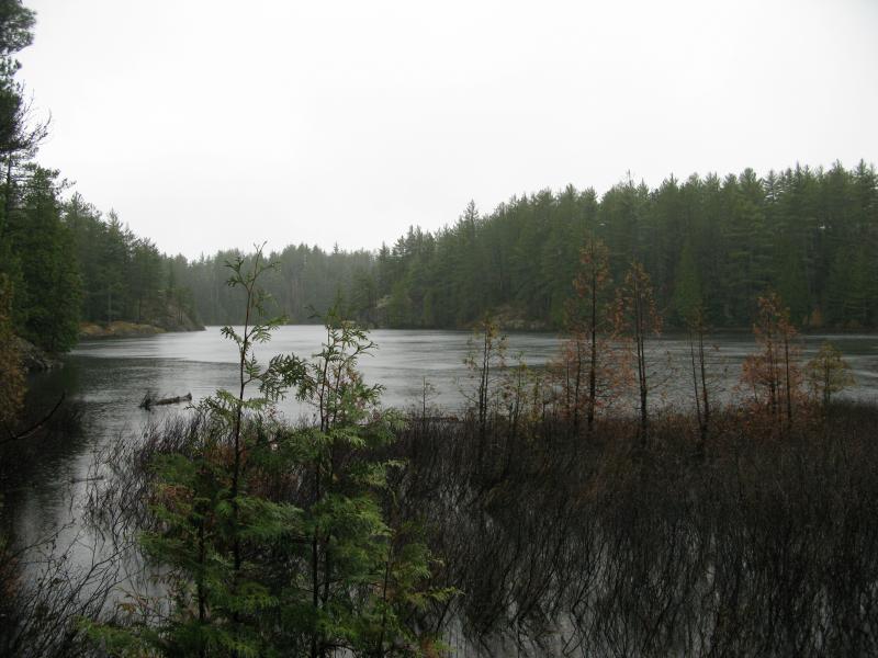
Looking south on Lake 8
Ever foolhardy, I made the mistake of spending the night on the north side of Lake 8. The Mulligan approach involves climbing the 300' up an overgrown four-wheeler trail for a mile around fallen trees and deep pools then bushwhacking a few hundred yards through a small marsh. By the time I reached the lake both my gear and I were soaked through thanks to the all-day drizzle. I rolled out of the tent early in the morning clad in already wet clothes shivering in the brisk winds. My first destination was an easy choice.
I do not know who owns the cabin on the east side of Lake 8, or how it was even built. There is no property signs, roads, or even footpaths leading to the cabin. I've heard from various sources that it's more-or-less available for those who find it but I don't plan on spending a night or even a meal there until I meet the owner. The view from the cabin is amazing - it's perched on an outcropping 20' above the lake below. There is two wood stoves and a small pile of wood inside, as well as a generous supply of alchohol and various random supplies. Everytime I visit the cabin there is signs of recent visitors - items moved around, new supplies brought up, etc - but I've never met anyone in the area or at the cabin itself.
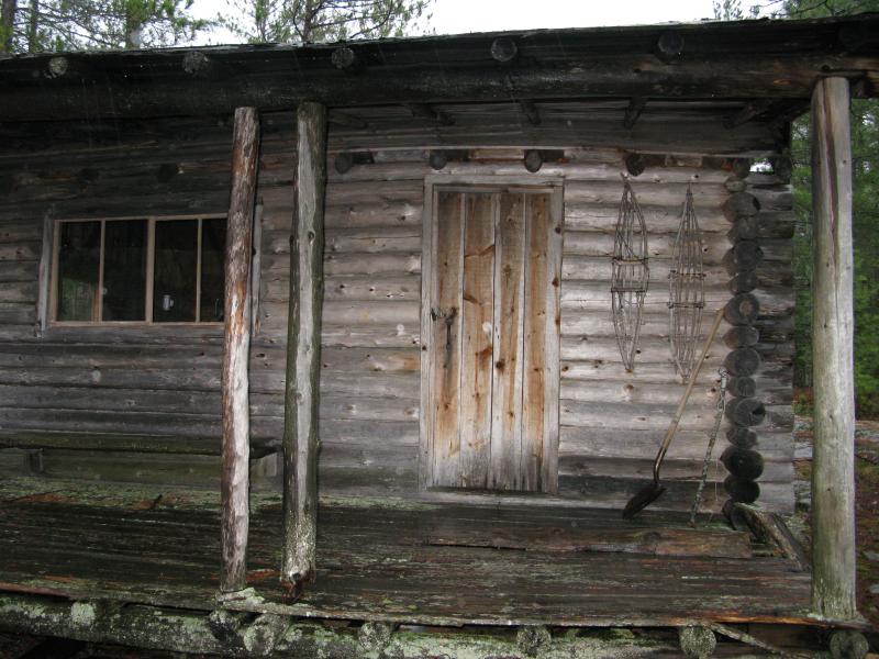
Cabin on Lake 8
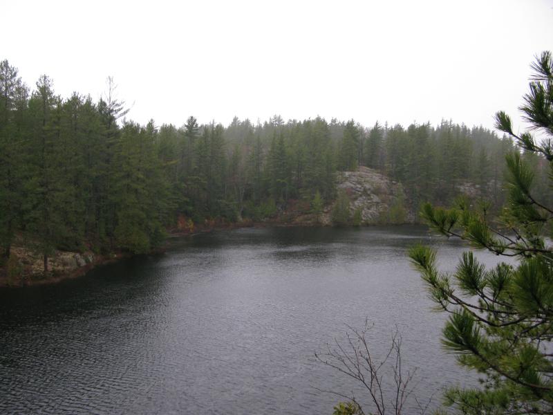
Lake 8 view from the Cabin
Being out of the wind in the cabin for even a few minutes warmed me up enough to tackle one of the more exposed points on my hike. Heading northeast up a steep rocky outcropping brought me to an awesome view of Lake 2 to the east. This outcropping would make a great future campsite - on a clear day you can make out hills and tree farms to the south dozens of miles away. With today's clouds and low visibility I was limited to only seeing Lake 2.
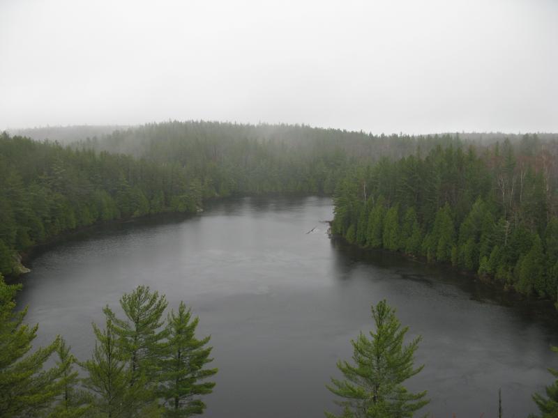
View from the bluff over Lake 2
I quickly headed north off of the windy, exposed outcropping down to the lakeshore. The north side of Lake 2 was rockier than I had thought, with close to a 45° slope at times leading down to the shore. Crumbling rock from the left covered in thick needles and moss forced me to choose my route carefully and slowly to keep from sliding down into the dark waters.
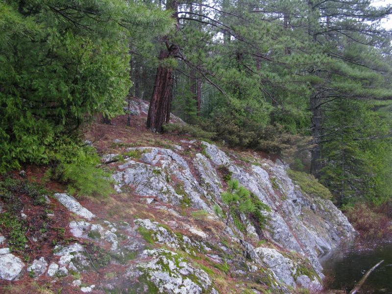
Rocky outcropping on the northern shore of Lake 2
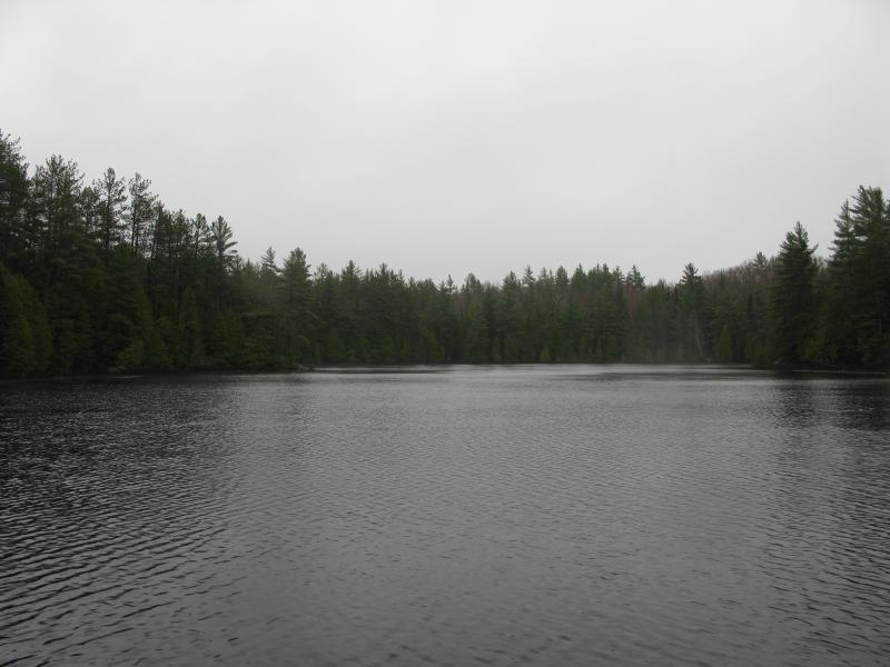
North side of Lake 2
Cutting up and away from Lake 2 brought me to a neat high spot that gave me glimpes of Lake 2 to the right and Lake 3 to the left through the trees. I headed left to a spot with obvious high beaver-traffic on the shore and the beginnings of a beaver lodge just offshore. Lake 3 had fewer outcroppings than the other two lakes and more marshy shorelines, and thick vegetation on the north side of the lake made it easier for me to wade in ankle-deep water at times than push my way through budding brush. Overall this lake was the easiest to visit, thanks to it's relatively flat northern shoreline and a high number of beaver trails.
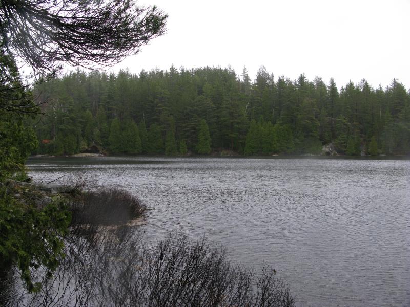
Eastern shoreline of Lake 3
At the northeast angle I found an cool surprise: this lake drains out over a small, ten-foot waterfall. Most likely a seasonal flow, the overflow dropped here over a rugged outcropping before it tumbles and cascades over rapids and falls to Clark Creek far below. I followed the creek downhill for a bit until I realized that I was veering to far north and needed to climb up the south outcropping to visit an east-facing outcropping.
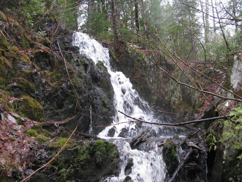
Lake 3 overflow waterfall
While this hike's main goal was to explore the three lakes, there was two other things I was looking for. First - a four-wheeler path. I know that there is no easy path directly to the lakes, but I did find an odd four-wheeler path a few hundred yards north of Lake 2 on a previous hike. I suspected that this path would follow the overflow creek down to Clark Creek, but my journey along the creek proved that wrong. Second - an east-facing outcropping w/ possible views of Lake Superior 10 miles away. To get back on the track for this I had to regain the elevation I had lost following the creek, and a steep southern cliff littered fallen trees was my only way up. It took a good chunk of time, but I was able to crawl up the cliff.
There was three spots I wanted to check for the possible view. The cliff I had just climbed only faced the north, so I headed to the next one - a small spire separated from the rest of the highlands by a hundred-foot-deep gap. The east side of the spire was not steep enough for a good view, with tall pines blocking any view from the top. My last hope was a steep hill south of the spire, so I headed down and back up and found exactly what I was looking for - a sweeping view of Clark Creek Valley.
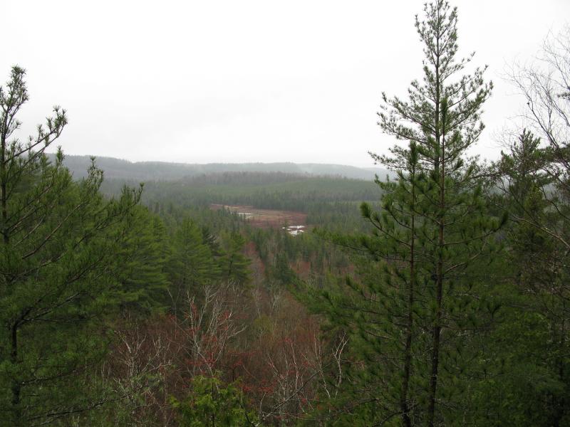
Northeast view of Clark Creek Valley
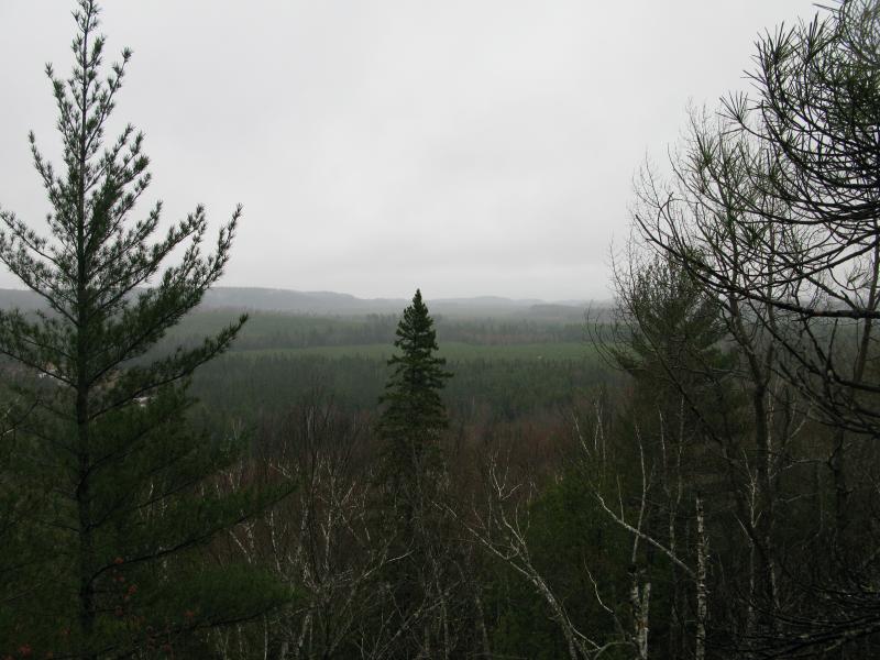
Foggy view of eastern Clark Creek
I was able to make out some of the hills near 510, around five miles away, but the foggy drizzle hid anything beyond that. This is a must-visit spot for a sunny day. For today, though, I was ready to turn around. I was soaked and hurting from the tough climbs, and the low temps and wind made my hands about as dexterous as a pair of hooks. I turned west and cut a path back to Lake 3 through some typically difficult brush.
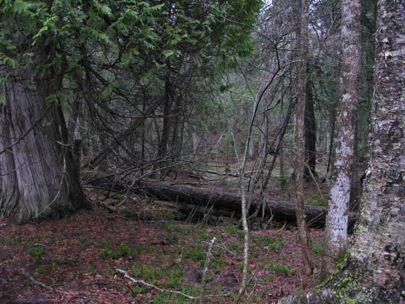
Swamp and huge cedar on the highlands
The south side of Lake 3 was more difficult to hike along. There is a steep outcropping with occasional tumbles down to the water, and I had to weave my way around sudden boulders and downed trees. The constant weaving confused my route near the end. Instead of cutting over and following the south side of Lake 2 as well, I somehow ended up back on the north side of Lake 3 where Lake 2 drains into it. Not wanting to double back and figure out where to cut over I followed this overflow to a peaceful outlet on the middle lake.
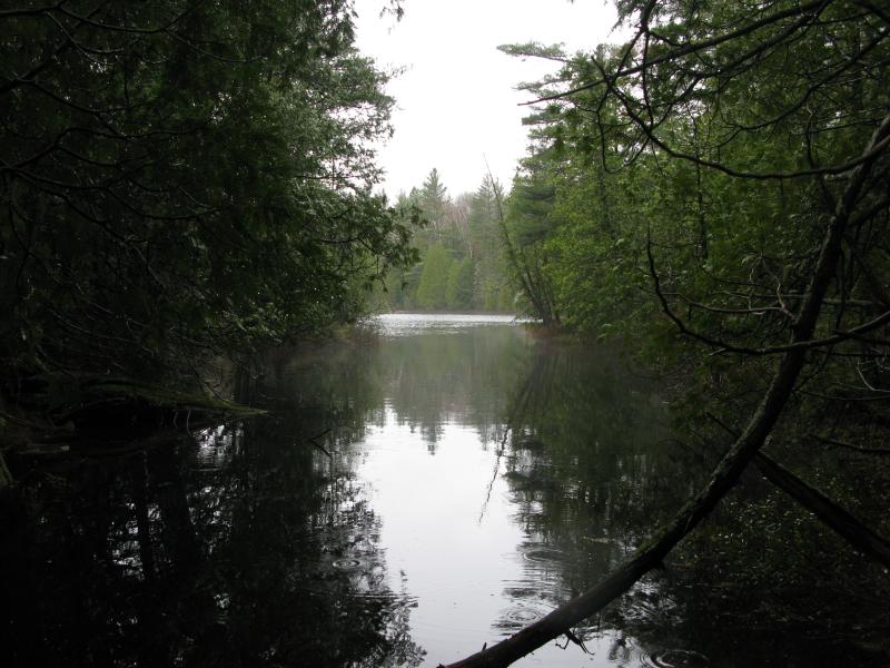
Peaceful outlet of Lake 2
From here I simply retraced my route back to my tent. The hike was only about six miles in length, but between the constant bushwhack and the cold & wet weather I knew that it was time to call it quits. I was pretty happy that I had finally visited all three lakes, even if the views I found from various outcroppings were limited with the low visibility. My next visit to this area will probably use a different approach from Clark Creek Valley. Even though I didn't find a good path leading up to Lake 3, I'm quite interested in returning to the east-facing cliff and exploring more of the cliffs between Red Road and Clark Creek's west branch.


-
Jacob Emerick
Jun 29, '11
Hi James! Glad to hear you're enjoying the blog! Northern Wisconsin, eh? I've only been up to Potato Falls... there's a lot of cool things up there. What areas up there (and in the UP) do you like to wander around?
-
James Spychalla
Jul 1, '11
Jacob, Compared to your travels in the UP, mine are totally insignificant. Only in the last couple years have I come to realize the unique geology and near alpine environment of the Keeweenaw and Huron Mountain area. Frequently, I have the family in tow, so we have some limitations. We are best viewed as canoe campers. My/Our limited list includes the usual, Clark Lake, Estivant Pines, Mt. Bohemia, Sylvania, the Porkies, and the Sturgeon River Gorge. Sometimes we will day-trip Sylvania just for lunch and swimming. On my short list to visit are the eastern tip of the Keeweenaw, Norwich Hill, the Pesheeke Grade, and Bald Butte. So Jacob, that is where we wander. Sincerely, James
Add to this discussion-
Jacob Emerick
Apr 6, '16
Oh man, that sounds wonderful. My first visit was also in the snow - this was a follow up for photos - and it made for a fantastic destination. You said it was fairly new in '77? Interesting... I don't know anything about the history or owners of it, just assumed it was a relic from days where people didn't need to be concerned about padlocks or anything. Wonder if it could be less than fifty years old.
Add to this discussion-
Jacob P Emerick
Apr 27, '20
Thanks for sharing! Amazing what they did, and that their work is still standing strong after so many harsh winters.
Add to this discussion