The Last Waterfall Hike
My last hike for the waterfall project was on April 29, 2009. For the last two months I had been on a crazy schedule re-visiting all of the waterfalls I found last summer and collecting accurate coordinates with a new GPS unit as well as finding new falls within my radius to add to my site. Since I was leaving for Wisconsin the very next day, I decided to make this adventure legendary and visit Mulligan Falls.
Mulligan Falls is located northeast of the Silver Lake Basin outside of the remote Mulligan Plains. There are no trails or roads within a mile of the lowermost waterfall, which Faith and I had found last October. I had heard rumors of upper waterfalls, so I set an ambitious route that would take me several miles upstream. The area around Mulligan Creek is cluttered, rocky, and swampy, so I planned on the hike taking several hours.
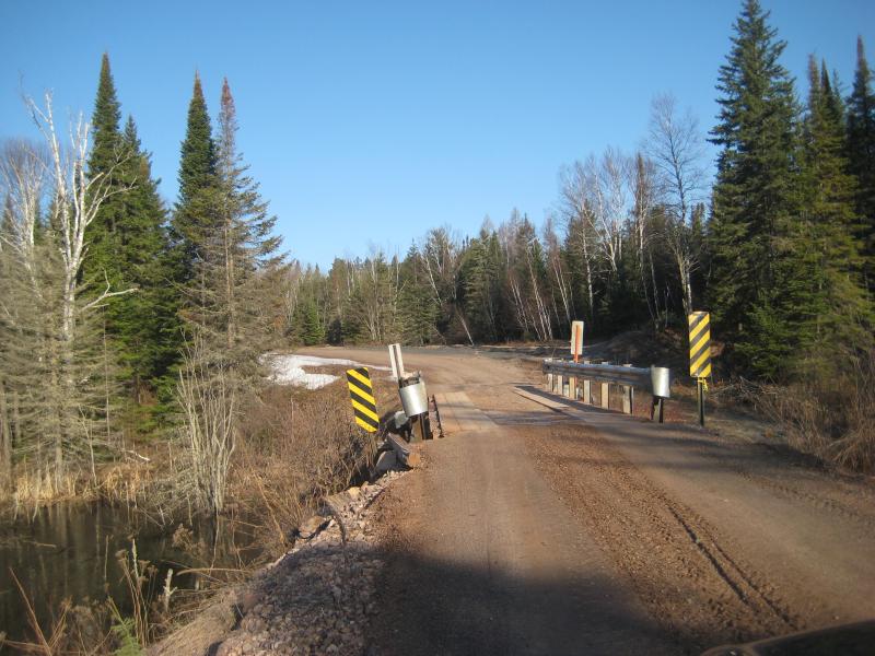
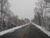
Bridge over Mulligan Creek
I left early in the morning and made it to Ishpeming around 7:30 in the morning. After stopping for gas and some snacks, I headed north along Teal Lake Road, driving over the Dead River bridge around 8:00. While the roads were clear of snow during this drive, the two-tracks heading off of Red Road towards Mulligan Creek were still covered in drifts. I did make it as far as a small logging road near the Silver Lake Basin, but the road that leads up to Mulligan Creek was completely impassable.
Logan and I headed towards the Silver Lake Basin in hopes that it would be easier to walk along the drained basin then through the snowy woods. The basin was clear of snow, and we enjoyed the easy walk along a frozen beach and the odd clutter left behind from the water. While it did get difficult to walk along the northeastern edge of the basin with an increasingly steep shoreline, there was a well-defined four wheeler track to help us out. This portion of the hike was quite amazing, with the clear lake, light frost, and rising sun adding up to some awesome views.
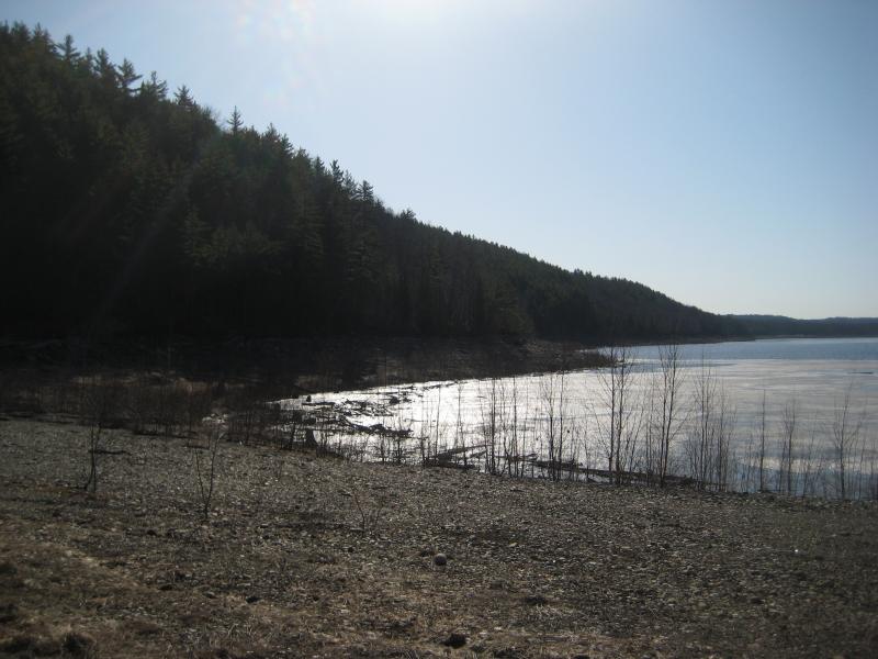
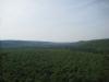
North-eastern edge of Silver Basin
Heading northwest near the Silver Lead Mine Lakes in a rough line towards Mulligan Creek we soon bumped into a shocking amount of snow. While most of the woods were completely clear of snow and quite nice to walk through the hills and canyons hid several feet of snow in their shade. By the time Logan and I made it to Mulligan Creek, I was already soaked up to my hips from sloughing my way through the deep, wet snow. Nearby the creek was even worse, as the creek's gorge and cool waters kept a large amount of snow around.
We bumped into the creek near a large swamp and had to decide whether to head upstream or downstream. I wasn't entirely sure where our waterfalls would be, but I was already getting tired from the snow, so we headed downstream. The first mile had some minor rapids and small, scenic ponds, but no falls. A slight air of disappointment was starting to cloud the hike when we bumped into an impressive ten foot drop over a basaltic pillow draining a large, pretty swamp. You can almost see this waterfall from satellite photos, with the solid pillow of rock creating a small dam across the creek.
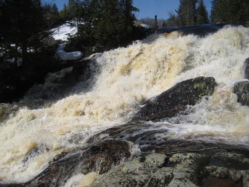
Upper Mulligan Falls
It took me a while to find a way to cross the swollen creek, as the best photo position was from the northern bank, but I found a small tree and took some pictures. Logan couldn't cross, though, which was really frustrating. Thanks to the increased sun exposure the northern bank had considerably less snow cover. Resigning to the southern bank we headed downstream along the now-swampy creek, plowing through feet of snow. This was one of the most challenging hikes I had ever been on, and it didn't help to realize that there was no easy way back to the car.
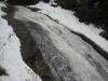
We found numerous small waterfalls downstream, but it was hard to see how big they actually were with the swollen water flow. During my last trip here the waterfalls were small but incredibly varied, with a small flow of water creeping through deep cut canyons of rock dropping from one chunk of rock to the next. Now the water roared over everything, loud and angry, filling the canyons to the brim and hiding any visible drop in a series of rapids.
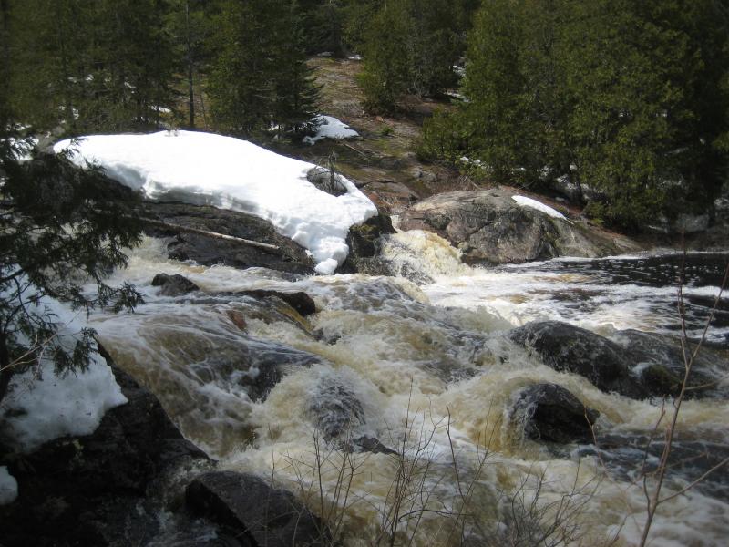
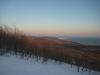
Swollen canyon on Mulligan Creek
This area is beautiful in the early spring. With the general lack of vegetation you can see deep into the woods, making out rock formations and interesting trees that would otherwise be cloaked in thick green. The swamps between the creek's rapids were crystal smooth with thick, frosted, woody growth surrounding them. Though it was very tiring to push through the snow, it was hard not to really enjoy the beauty and remoteness of the area.
After passing by the lowermost rapids/falls, I headed a bit higher on the bank to try to get out of the deeper snow. After the miles trudging next to the creek, I was hoping to cut as straight as possible to the two-track that would take me to the car. The steep hill didn't allow me to save too much time, and it was a long mile before I reached the two-track, which was still covered in snow. Trudging through snow again, this time along a road instead of a creek, I made it back to the car around 4pm. Exhausted after the thirteen mile trek without food or water, I decided to skip my other stops and just go back to Houghton.
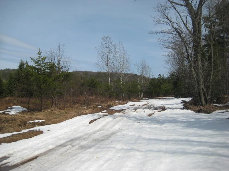
Slushy road on Mulligan Plains
The Mulligan area is one of my favorite locations of the Upper Peninsula. It is more remote then the Yellow Dog Plains and has waterfalls, cliffs, lakes, and more for any hiker to enjoy. Whether I'm pushing my way through snow to view the swollen falls or climbing up to the Rocking Chair Lakes, this area is a great way to escape and unwind, and I highly recommend it to any other adventurers out there.
Comments (0)