Ski Hill of Limestone Mountain
Most of the mountains in the Upper Peninsula follow predictable ranges. There's the long Keweenaw Ridge that stretches from Copper Harbor southwest past Ontonagon, old Huron Mountains from Marquette to Alberta, and Gogebic and Escarpment out to the west. The majority of my hikes owe their geography to at least one of these formations. Yet there are a few outliers, random peaks that do not belong to a range. Three volcanic plugs stand out in the Ottawa National Forest, spurs with no neighbors. Today I was heading to another lonely mountain, one composed of a weird and different material. Today I was heading to Limestone Mountain.
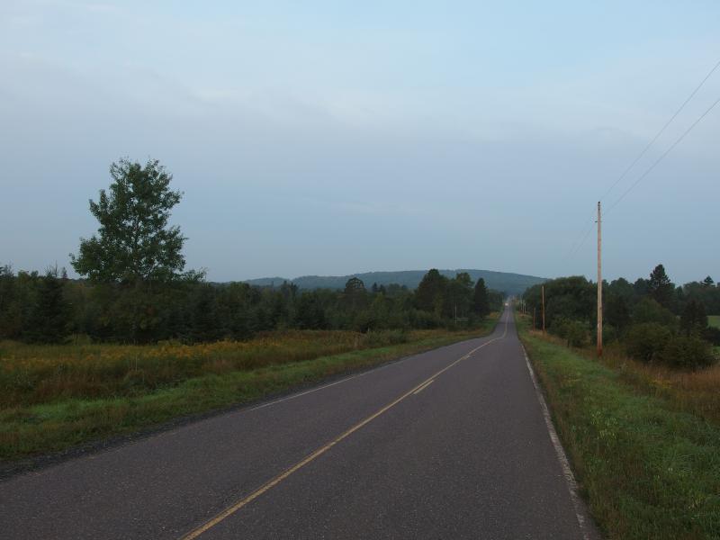
Limestone Mountain from Papin Road
Limestone Mountain has long held my interest. On my many trips down to the waterfalls by Nisula and Sidnaw I often drove down the Pelkie shortcut from Houghton and would gaze at the hill to the west. I even drove down Horoscope a few times to get a closer look at it. A mountain in the Pelkie area was intriguing; an open view from that mountain would be irrestible. There appeared to be only limited views from the southern bluff, not enough to stop my drive, and six years passed by without a visit.
Then Nathan Miller sent me a message about hiking the hill and finding the remains of an old ski lift. I had heard rumors of skiing on the mountain, open runs and working lift from the 70s, but never thought that anything remained up there. I quickly planned a route based off of his descriptions and drove up to Pelkie early in the morning, excited to finally climb the landmark.
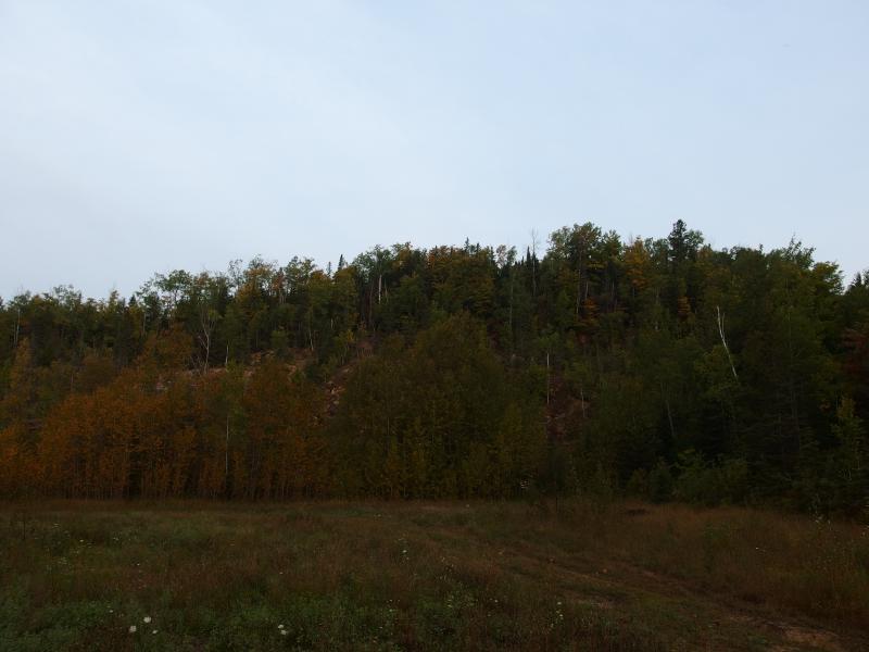
Scrubby bluff on the south side
Parking at the old quarry on the southern end I looked up at the exposed rock. Dirty limestone stretched up on a crumbling wall, creating a manmade bluff that held limited views. There is a shoulder to the southwest, a small hill that may be steep enough for natural views, though I don't think there's any exposed rock. With a small hop and grab I headed up the crumbling slope.
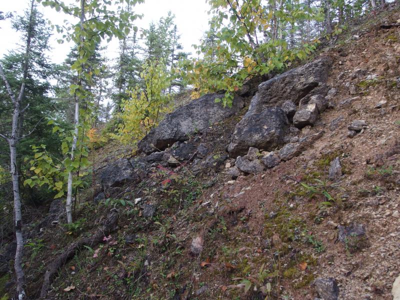
Blocks of stained limestone on the gravelly climb
As I climbed I noticed the large number of trails around me. There were two stretching away from where I parked that encircled the bluff. The more elevation I gained the more trails I saw, switchbacks providing easy ATV access to different sections of the bluff. There were also firepits, lots and lots of firepits. Within a few hundred square feet I saw four of them. This was definitely a popular stop for four-wheelers.
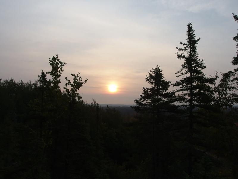
Hazy morning sun
A hazy morning sun became visible after I broke above the trees. I was glad - I had left Appleton at 2:30 this morning to make it up here with the sun. Pale light filtered down around me, casting orange shadows on the white and stained rocks I climbed over.
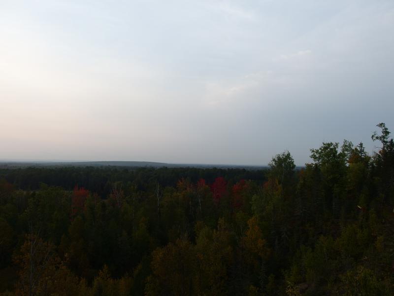
Rolling forests to the south
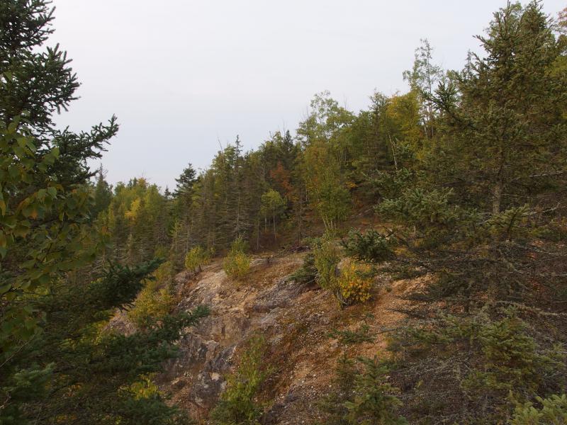
Odd stains on the edge of the bluff
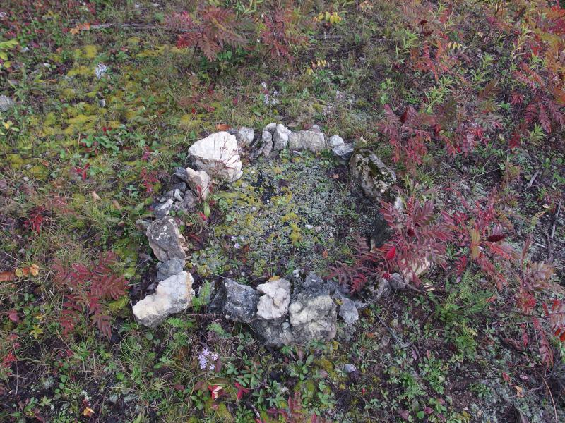
Bright colors around the limestone firepit
It didn't take long to reach the top of the open rock. The bluff only goes up a hundred and fifty feet or so before the woods take over the hill. I ducked into the thick undergrowth, sliding between trees and avoiding pickers, and ran right into an old foundation. A couple of old logs, attached at the end, were sprawled out under the trees.
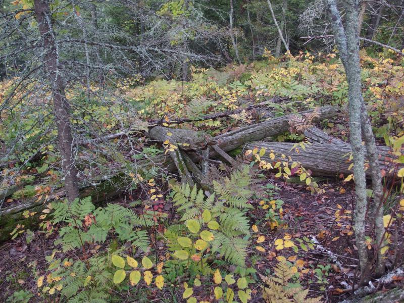
Collection of old logs held together by nails
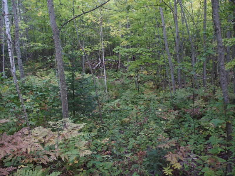
Young, scrubby forest
The ski lift is quite a distance to the north, far away from this little quarry. This had to be something left over from when they pulled rock from here. Either that or the logs are trash, dragged up here to be forgotten and not part of any structure. With a shrug I continued up the hill.
For a short time I bushwhacked, than I ran into a trail to follow. The hill was flat before a gentle climb started up. I made quick time, keeping cursory notes of the surrounding woods. The forest started small and scrubby, than slowly matured into tall birch, and now was actual hardwood. When I reached the top I saw some evidence of logging to the west, breaks in the trees where they had come in and picked out the best. Must be hauling it down Hazel Swamp.
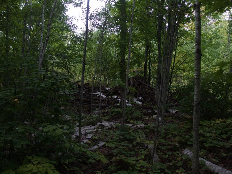
Pile from nearby logging
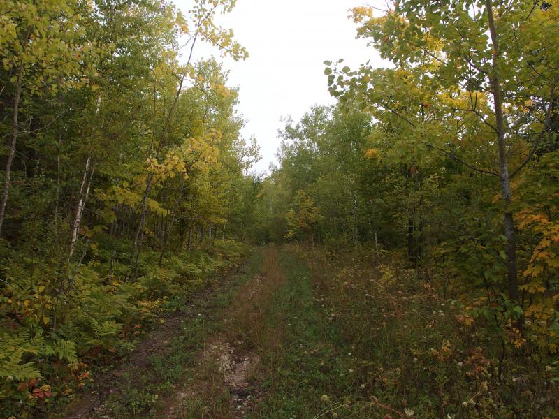
Easy track up the hill

Maturing forest near the top of Limestone
Also at the peak was the old poles. They were hard to miss. Not only were the poles on the highpoint of the mountain, they had several crossbeans and no bark. I approached them slowly. So this is where the lift ended. It wasn't very flat, meaning that the skiers would have a bit of grade when they were deposited. Two wide trails led down hill, each swirling away from the lift, maybe the remains of the wide runs. Trees had masked the exact paths, though. After a brief look around the top for more remains I headed down the southern track.
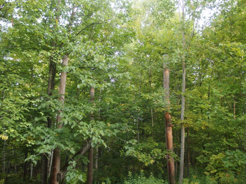
Top of the ski lift
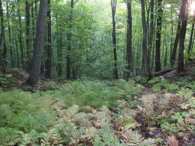
Possible run heading down the eastern side
A dozen yards down the slope and I couldn't help but notice the even grade to my left. The lift carried skiers over a slope as even as a railroad grade. It was hard to notice before, from the top, with a good deal of undergrowth blocking the view. Here it was hard to miss. I decided to skip the track and head down on the grade in hopes of finding more remains.
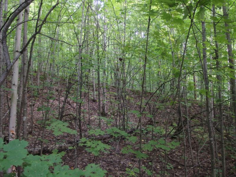
Even slope of the lift
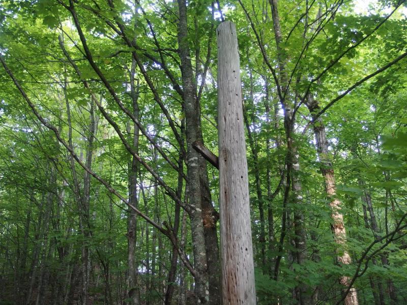
Another pole from the lift
More poles cropped up along the grade at irregular intervals. Some of them were short, others were tall. With a bit of imagination I could picture the different heights make sense, as the lift traversed different bumps and dips along the slope. I couldn't make out how the lift actually dragged people up. Seemed unlikely that a lift from the 70s would have chairs, probably just a handle or rope to grab on.
Short minutes later and I ran into a road intersecting my course. I paused, contemplating heading back. The mountain had petered out, with only the gentlest of grades continuing east. And there were shots ringing out in the distance that had only grown in volume during my downward hike. And I was nearing some houses along Horoscope Road. With a tight lip I continued on, hoping that there was more to find here than a few telephone poles.
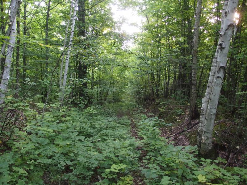
Looking down the straight grade
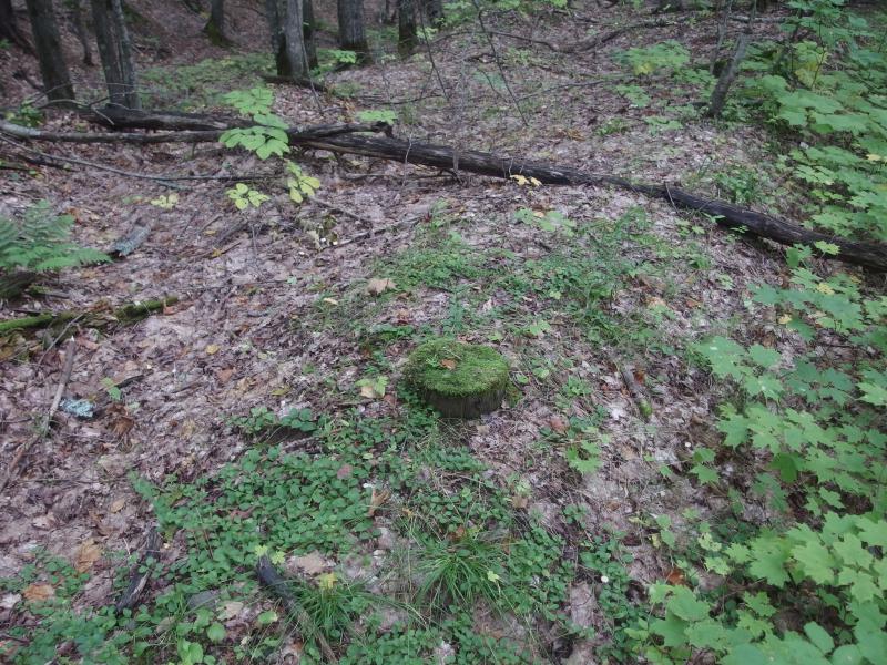
Lopped off pole
The poles disappeared for a bit, cut off at the base and difficult to find in the undergrowth, though the even slope was still around. That seemed better graded and shaped than most roads from that period. It seemed a long time before I finally bumped into more poles, now armed with hubcaps to allow a rope or cable, and then the end of the lift.
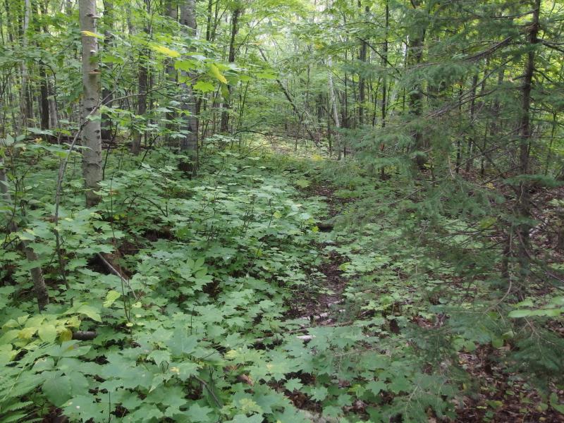
Thick growth near the bottom of the mountain
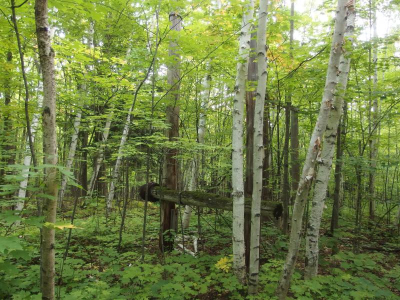
Coils of wire collected at one of the poles
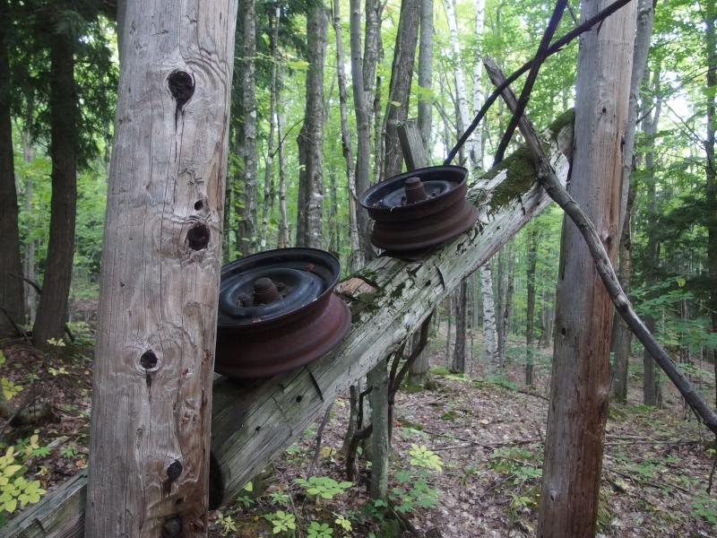
Sideways jog
First thing that caught my eye was a long coil of thin metal line. Fencing wire? Did they really use fencing to pull people up this hill? Didn't seem to likely, it would be so thin and inflexible at the ends, yet here it lay coiled. May have been a fence around here at one point, marking the edges of the ski runs or something.
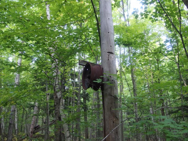
Hubcaps for rollers
There were also a few angles here, where the lift twisted to the side. Beyond that the slope continued east over flat ground before there was a small wheel-mounted engine a short distance away. The entire lift was powered by something the size of a log-splitter. That's pretty neat. The small engine spun a few tires that would pull the cable along, all the way up the mountain.
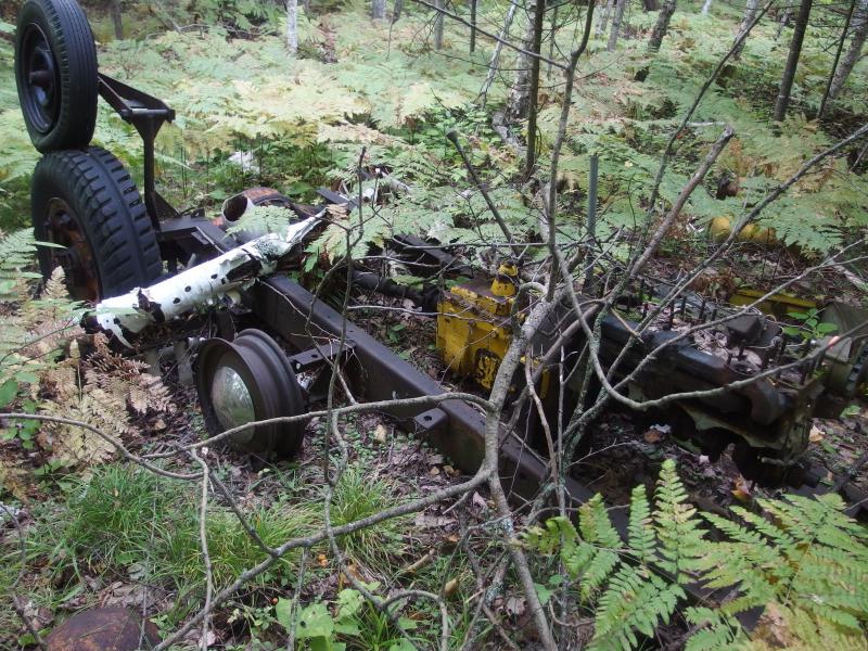
The old engine at the end
Other than the engine, some extra poles to handle the twist in the lift, and a decaying fence nearby there wasn't much to see. I didn't make out any foundations or roads. I'm not sure if the ski hill was large enough to support a parking lot and building or if people just parked on Horoscope and walked in. The fact that even these remains survived was surprising. I was within a few dozen yards of a house, probably standing on their property right now, and I couldn't wait to get on the road and head out.
Getting to Horoscope was not easy. First I cut a large loop to the north, through a swampy section of forest, trying to ease a wide berth from the house. And I bumped into a second house. Then I just tried to cut in between, crashing through thick brush with a few dozen feet of woods between. If someone had been in either home with a window open they would have heard me. Luckily no one was home and I emerged, dripping wet with dew and bedraggled, onto Horoscope Road. Not an easy site to exit from.
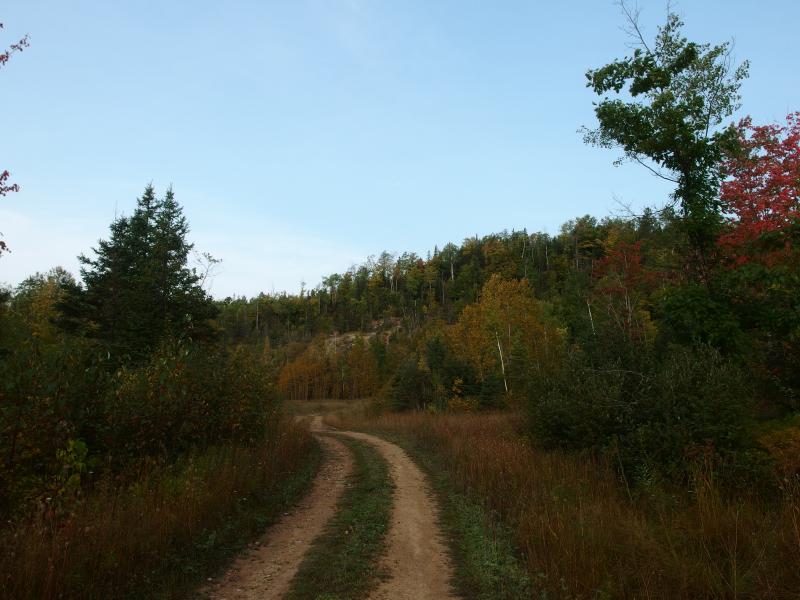
Road to the south bluff of Limestone Mountain
Marching down the gravel road I pondered over the findings. The hill was in rough shape, sure, but there was a lot left here. The poles, hubcaps, and engine all just sat there. If the lift was open in the 70s it may have been open for a while, maybe into the 80s, before closing down. Those trees grew fast, though. There was no sign of open runs, just woods. Thirty years must be long enough for cleared land to completely fade away. Another twenty and those poles may topple and engine could sink down and the old ski hill may be completely forgotten.


-
Jacob Emerick
Oct 6, '14
Ha, that would be awesome. You'd probably be the first skier since the hill was open some forty years ago.
Add to this discussion-
Jacob Emerick
Jan 9, '15
Very nice!
Add to this discussion-
Jacob Emerick
Feb 24, '15
Oh wow, it's great to hear from you, Steve! That is truly a fantastic picture. Crazy indeed how much things have grown over in the past few decades. As much fun as it was to wander around back there it would have been much more fun to explore with someone like you, someone who could point out the different spots and retrace the old slopes themselves.
-
Pat Kemppainen
Jan 27, '16
Snowmobiling and sledding from the top was fun. The west side was a challenge going both down and up.Warming hut on the bottom of the runs to the North boundary.Ski lift was toward the SE side of the hill South on Horoscope Rd. When you take a hard right the pit is about 1/2 mile on the right.
Add to this discussion-
ekp
Jan 25, '16
There is an article in the Laird Twp. Centennial book (198 7) that mentions the Limestone Mtn. Ski Hill, which was very steep, (not for beginners.:) I mentioned in the comment earlier that it was the latter part of the 60s when it was no longer active. Well, actually it was 1962 and then in 1963 a ski club was organized and it was on the east side of the mountain then, that a more elaborate downhill ski area was developed, and the chalet was moved to the new site. . An oversized snowmobile with a roller was used to pack the hill. The skiing was enjoyed on the new site for possibly not more than six seasons. Termination was probably due to loss of interest, as snowmobiles became ever more popular; stringent safety regulations would have been both extensive and costly, with the mandated improvements, all led to the closing of the operation, at the time. Along with the rising cost of liability insurance the ski hill operation was closed.
-
Jacob Emerick
Mar 2, '16
Thanks for the history, ekp! It's really too bad - as great as Ripley is and everything, the presence of a ski hill on Limestone would have really changed that area. Though, depending on your stance, that could be either a good or bad thing. (I really love how quiet and peaceful the general Pelkie/Alston area is).
Add to this discussion-
Jacob Emerick
Mar 2, '16
Oh wow, that sounds amazing Linda! I didn't see anything that resembled a barn or an old foundation. The thought of a warm break and hot cocoa after skiing... Sounds like some great memories.(and thanks for the clarifications about the wheels... it was hard to tell what was part of the old operation vs what was just trash pulled back there in more recent years)
Add to this discussion