Saux Head Hill
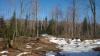
Spring was arriving so slowly for much of the Upper Peninsula. I had started the day with a few short trips in the Peshekee Highlands and had been greeted with flurries and two feet of slush to slog through. Hoping to get a break in Ishpeming on the open trails of Al Quaal I found even more wet snow that hid little rivers of meltwater underneath. Maybe if I got right next to the lake, dropping down in elevation, I'd find some clear paths to take.
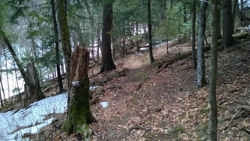
When I pulled up to the eastern trailhead of Saux Head Hill there was nothing but glaring white snow piled up beneath the trees. I let out a deep sigh. Pulling my dripping and muddy snowshoes out I strapped them to my boots, squeezing water out as I cinched tight. I dropped a ten dollar bill in the pay pipe and gazed at one of the small maps near the trailhead. There wasn't a plan here, just a hope that if I wandered around enough I might get a good view of Saux Head Lake, Lake Superior, and some of the more interesting sections of Granot Loma.
Before I could set down the trail I was greeted by the soft shish of an approaching skier. A friendly mid-aged woman popped around the corner and cheerfully greeted me. She had just finished one of the lower trails, a small loop that barely climbed the hill, and we swapped a few stories and tidbits of the nearby area. The lady advised me to head up to the ridgeline to get the views I was looking for. Thanking her I started east and south, following the hard-packed and groomed trail through the tall pines.
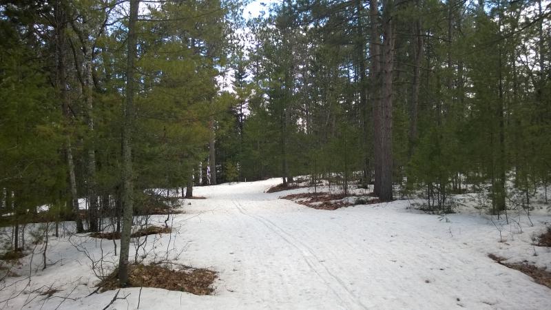
Snowy Saux Head trail
The trail was easy to follow, not letting me sink more than an inch or two in my shoes, a wonderful change from the morning's adventures. It was wide and even too, unlike the narrow pack up at Al Quaal. I strolled along in the warm sun, letting the rays soak into me even as the cool snow beneath left chills across my skin.
When the trail cut west I followed, and when a small blue diamond marked a narrow southern way through the trees I also followed. There was a ridge southwest of the trailhead that I wanted to climb, but the trails didn't cut a straight line. A little bushwhacking here and there would save me a few big loops.
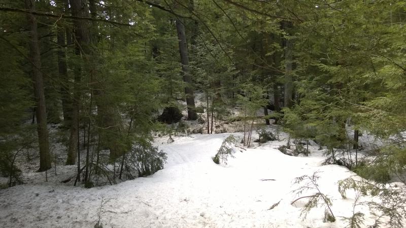
Tricky little shortcut
The forest seized on me within minutes of leaving the groomed trail. I sank down to my knees in soft snow, branches crowding tightly around me, as I tried to continue cutting southwest. Maybe the long loops would have been better. As soon as I pulled and yanked free of the softer snow I was greeted by bare, muddy patches of earth that caused my snowshoes to clank and scrape loudly. Yeah, this shortcut was more than a little difficult.
A hopeful sunny break
Looking down at the gorge
I slowly climbed up, gaining elevation, and popped out on a narrow hill overlooking a deep gorge. Oh. The line I tried to cut through the woods didn't end up going as straight as I hoped. I thought I would be on the other side of this little valley. Tumbling down in the soft snow and re-climbing the other side took shorter time than I thought it would and soon I was looking at an odd little footpath.
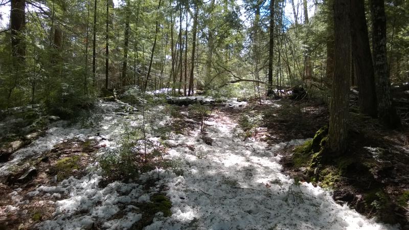
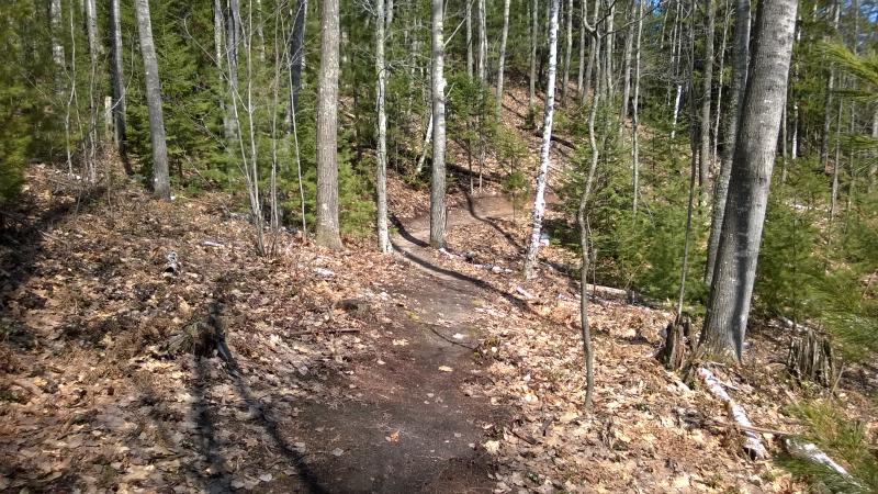
Bare, skinny trail
Outside of the trails I had started on I knew little about Saux Head's network. Was this one of their trails? Or was it a reminder of years past, an old footpath used by wandering hikers? It didn't matter too much - it led where I was going. I hobbled along the narrow path, climbing further up the hill and closer to the ridgeline.
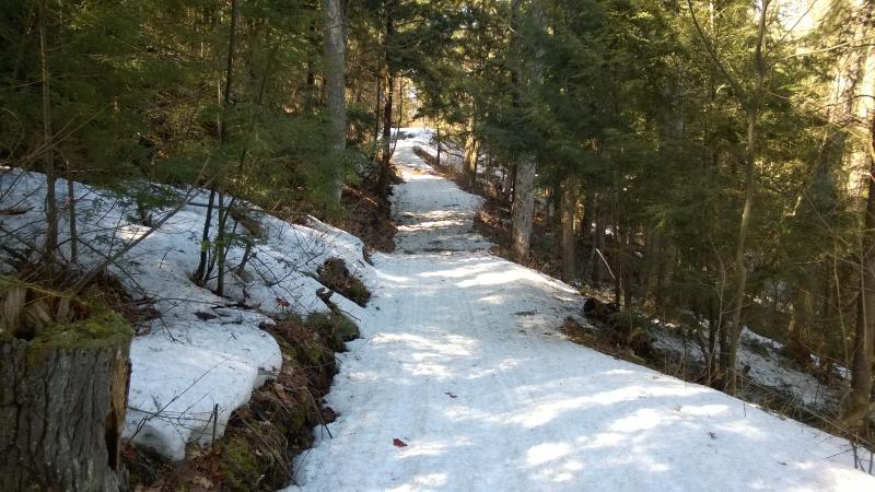
The bare footpath gave way to snow and I lost it. Didn't matter. Within five more minutes I was back on a wide, groomed trail that was obviously part of the NTN. It climbed to my right and dipped to my left. I checked my gps and saw, with some dismay, that I had messed up royally on that shortcut.
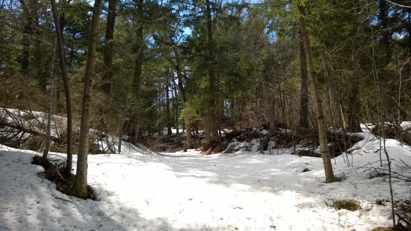
Back on the groomed trails again
There were three possible spots along the ridge where I expected good views to the east. And I had just passed below one. If I had stuck to the trail or, at the very least, cut a better line than I would have easily bagged all three. Now I could double back or forget about one. I pushed forward. Depending on how the other two turned out a third view may be redundant.
Large pines poking through deep snow
I pushed south under huge pines surrounded by snow. The size of some of these trees was amazing. For some reason I want to say that Saux Head is one of those rare areas that was protected from logging at some point, though I can't say for sure if that protection was within the last hundred years or longer. Probably not longer. Estivant Pines is the only place in the UP that I know never felt the bite of a logger's axe. All these other areas, from the Peshekee Highlands to the Huron Mountains to here, were probably clear-cut back in the nineteenth century. Still, these trees were big.
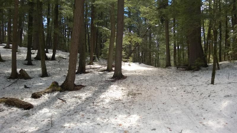
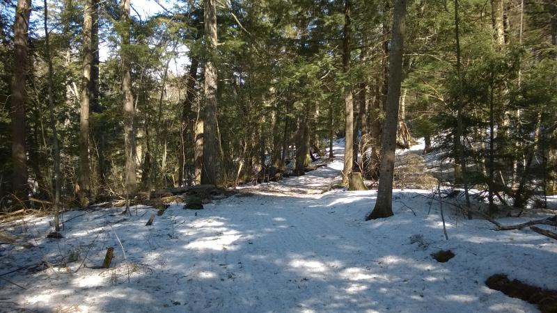
A passed a fork and took the one to the left. I was heading to the main slop right in the middle of the two trailheads, a slope that faced east. The woods were still pretty thick, though, and I had seen no sign of rocky outcroppings in this area. As I strolled on the sunny path, the deep snow underfoot looking obscene in the warm air, I wondered if there'd even be a view.
Sun shining on the snowy path
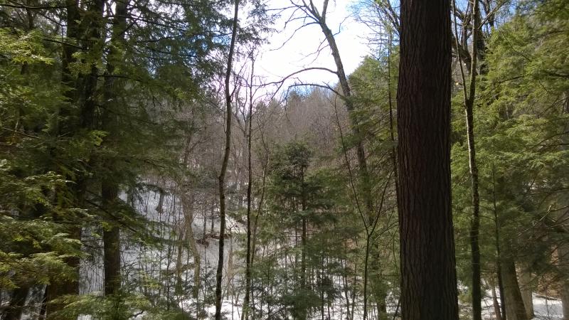
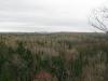
A sign poked out ahead promising there would be one. A scenic overlook. I turned and followed the little loop, forest thinning around me as I headed east. Saux Head Lake poked out below, some blue surrounded by icy white, and Garlic Mountain (complete with the windmill on top) was visible right ahead. And bare branches blocked just about everything else.
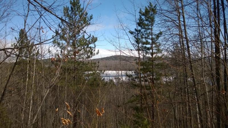
Obstructed view of the lake and Garlic Mountain
This wasn't really the commanding view I had hoped for. I could barely even see Lake Superior to the left, let alone the forbidden grounds and shoreline of Granot Loma. Well, at least it was a view, and if I would have waited for the summer to do this hike it would have been all hidden in greenery.
As I turned to head back to the trail another small footpath caught my eye. It snaked away to the side, winding through the trees like a lithe being. This was intriguing. I slipped off my snowshoes and looped one arm through them and trotted down the bare earth. It felt so nice to walk normally again.
Snaking little short cut down the hill
It cut back and forth down the ridge, slowly dropping down the hill, and eventually led me back to the path. There were no great views along it, no extra vistas around the corner, but it was nice to wander down a narrow (and snow-free!) path. Even if it led right back to the packed snow of the groomed trails. I strapped on my shoes again and trudged back towards my car.
Back on the groomed trails again
So I had visited one of the three possible views. That was enough, right? As I walked it tugged on me. Maybe there was another view or two up there. As the trail headed north there was a better chance of seeing more of Lake Superior from that angle. I mentally thought of the trail map I saw when I first started this hike. If I turned left at the next fork, climbing back up the hill, I could pass by both of the potential other views, even if it meant backtracking and bushwhacking a bit. When the fork came I turned left.
Climbing back up the hill
The first potential view was a bust. It was steep enough to offer a view but that deep valley I had climbed up was in the way, narrow cluster of trees reaching up to block any sights. Yup, there were my tracks. I was backtracking, just as I had hoped not to. This time when I cut off trail , almost parallel to my original route, I stuck to the top of the hill instead of going down the valley.
It worked. There was the trail, just as I hoped, and I wished my approach had been better aimed. I ambled northwest, looking hopefully for a view to my right of Lake Superior, and found nothing. Well. Besides the scenic route this latter venture had been a bust.
Down the plunge
When I bumped into the connecting trail that would take me back towards the trailhead I saw, with some dismay, that it had a 'not groomed' sign. I really didn't want to plow through more soft snow. It turned out to be okay. Enough traffic had come down 'the plunge' to pack the snow down just as hard as the other trails. The rest of the trail back to my car was a simple jaunt.

Saux Head trailhead
The sun was starting to show its afternoon face when I finished, long shadows cast from the western angle. I was starting to get tired, the giving snow and repeated hills wearing on my legs. That good view of Granot Loma was still out there, though. As I dropped my gear back in my car I already had my next destination picked out. Maybe the hills by the nearby gold expeditions would give me the view I was looking for.
Comments (0)