Return to Peter's Canyon
Morning light shone bright over Mesquite Flat, the small clearing east of Tortilla Flat where Mesquite Creek crosses AZ-88. A number of low green trees crowd this area (maybe Mesquite trees?) and a winding network of tracks mark the passage of countless car campers from years past. I parked the van next to a humble firepit and double-checked my gear. Aside from a truck camper fifty feet into the trees I was the only vehicle here this morning, and I felt much better about this parking spot than the roadside I had used on my Malapais Mountain attempt some six months earlier.
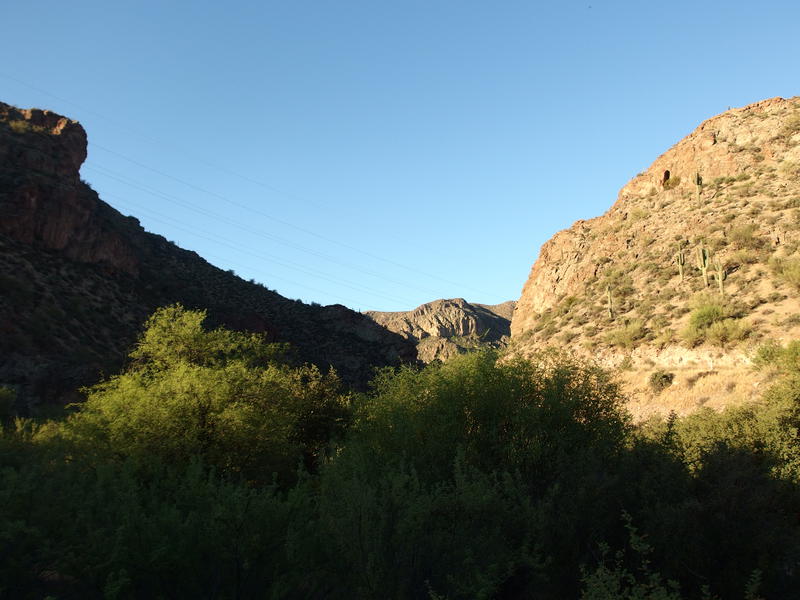
Powerlines over Mesquite Flats
Ducking under a few trees I made my way over to Mesquite Creek, my backpack cinched high and light on my back. I was carrying some basic overnight gear, maybe seven pounds worth of stuff, plus two liters of water. Two liters is not enough for an overnight hike - it's not even enough for a day hike in the summer heat - but I was hoping on finding plenty of water along today's hike. My plan was to follow Peter's Canyon upstream to find Peter's Cave, and then continue on to Peter's Trail and Tortilla Mountain beyond, and if my January misadventure in the canyon had been any indication there should be tons of water to find. There had more deep pools, rapids, and waterfalls along Peter's Canyon than I ever would have guessed the Superstitions would hold.
Before I could get to all that water, though, I had to follow a zig-zag of creeks. I would take Mesquite Creek west (parallel to AZ-88), then Tortilla Creek southeast, and then Peter's south. It was only a mile in all before I could head south towards the cave and the water, near where that chopper picked me up on my last trip here, which added no small amount of sting to that failure. Might as well try to make good time. I trotted with a quick step through the creek, hopping from rock to rock on the wide and uneven creek bed, before things narrowed into an impassable box canyon. The walls were smooth without any cracks for grip and the pools underneath disappeared in green murkiness. There was no way through - I had to backtrack and climb fifty feet up and tip-toe along the crumbling lip of the canyon, wasting morning time.
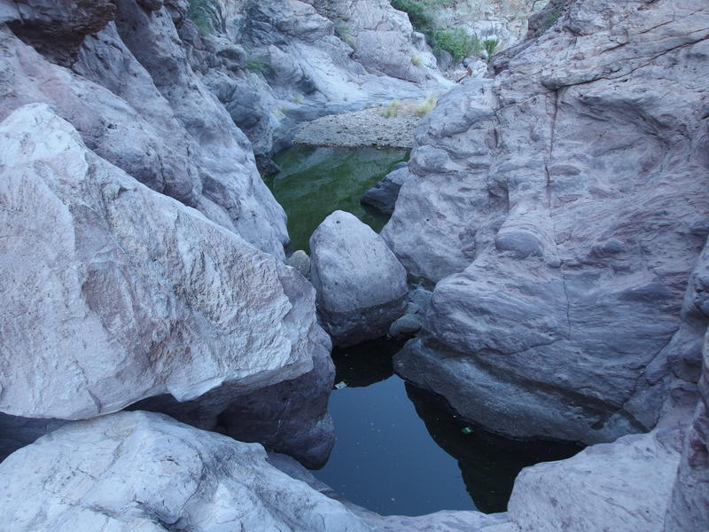
Impassable pools along Mesquite Creek
It took forty minutes to reach the junction with Tortilla Creek, thanks to the annoying climbs and loose gravel underfoot. Already I could feel the cool night air dissipating under the hot sun. Today was supposed to stay under ninety, though I think that temperature factored in the strong winds that I hoped would cool me down on the mesa and mountain this afternoon. The narrow canyons would not have much breeze. I had to get out of them before it got too hot if I was to complete this hike. A quick look at the mouth of Tortilla Creek, which had been the site of a large shallow pool in January and was now stinking moss stretched between dry rocks, and I started southeast with a determined pace.
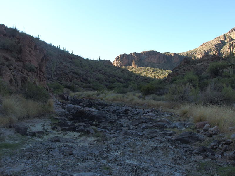
Looking up the mouth of Tortilla Creek
A few cars rumbled along AZ-88 behind me as I headed up the creek. If they looked over they might see me, a bumbling fool with an uneven gait tripping from one rock to the next. Hiking on dry creeks reminded me of walking railroad tracks in Michigan, only the next level up. Railroad tracks forced you into an irregular step to keep from twisting an ankle, but at least the ties didn't move under your foot and you had only a straight line to walk. Walking dry creeks in Arizona was a constant challenge of route-finding, balancing on different-sized rocks, and occasionally rolling and catching before a hard fall. Rock-hopping has got to be one of the more exhausting things I've found to do down here.
The creek made a large swoop to the west and I decided to take a shortcut up and over a small hill. There was a hint of a trail at the start, mildly confusing with a shallow wash that come down the hill, and I lost it a few times on game trails on the climb. Halfway up the little climb and a cholla reached out and caressed my calf with evil intent. As soon as I crested the little saddle and found the trail I sat down and pulled several dozen needles out, none deep enough for blood, and wondered (not for the last time) exactly why I was out here. Not finding a good answer I got back up, shouldered my pack, and took the trail down the other side.
Back in Tortilla Creek I began to eye up the other bank for the mouth of Peter's Canyon. While I was glad to be out of sight and sound from the road my next direction had to be coming up soon. A wall of short green trees lay on the other bank that looked impenetrable at best. When the break did come it didn't look appealing either. The creek stretched up towards a narrow cut in the southern cliffs, huge boulders leading up and through the cut that must be the entrance. I turned and headed up Peter's Canyon, jumping and squeezing and crawling and shimmying my way along, all the time wondering just how this would be possible to do during a wetter time of year.
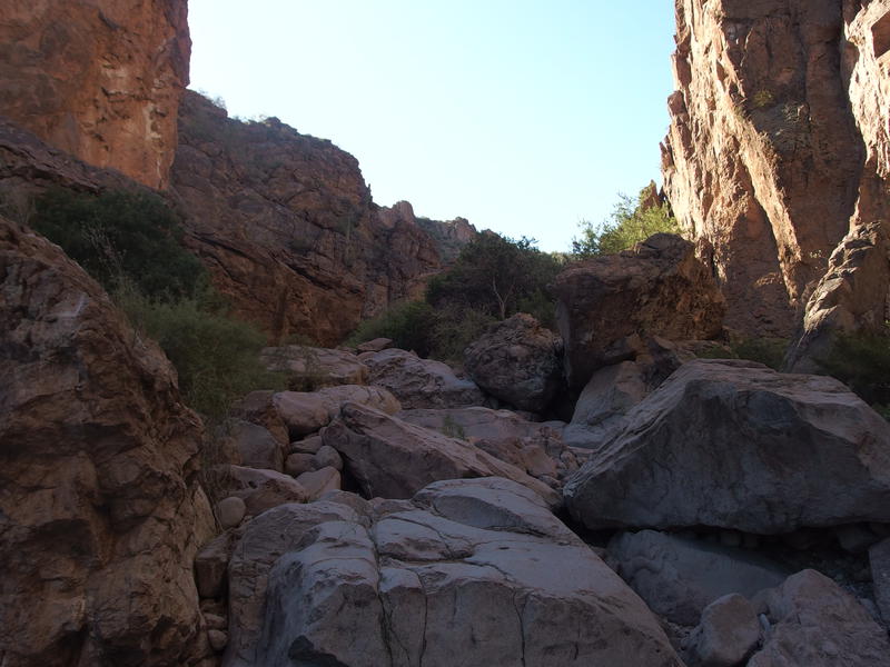
Huge boulders blocking the narrow canyon
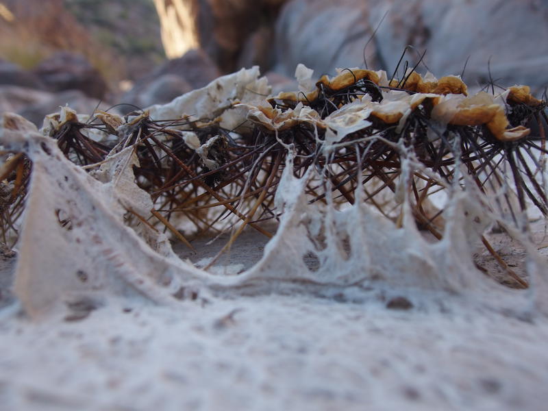
Dried algea on cactus spines
Indeed, aside from those murky pools in Mesquite Creek and a few shallow, stinking pools in Tortilla Creek that were more mud than not, there wasn't much water to be found out here. I began to think more about my precious two liters in my pack. If I didn't find anything to filter in a few miles than I should probably turn around early. The biggest risk of this adventure was my campsite near Kane Spring - I was absolutely depending on finding water there. If that was dry I'd be eight miles from the closest road and in bad shape to boot. And getting to Kane Spring along this canyon was a long, hot sixteen miles. I couldn't get there on only two liters. If I didn't find water within the next two hours I should probably turn around.
Once I got past the huge boulders at the narrow cut the creek bed made a drastic change. Now there were huge rock slabs some twenty or thirty feet wide that the creek had scoured clean. And, just as I was doubting my water situation, there were pools of stinking stuff sitting in hollows in the slabs. In a pinch I could filter from these things. For now, though, I had two clean liters on me. I passed on the gray-green water.
As I walked on the slabs things began to look eerily familiar. Back in January, when I had tried and failed to do a Malapais Mountain loop, I had come down this canyon in the dark and made a little lean-to on the bank before the rescue team found me. While I knew I was within a few miles of my car on AZ-88, I had been too exhausted to push on safely without a few hours of rest. Now there were things that seemed similar, the wide creek with the pillars of rocks rising up beyond the banks, grass growing in dry tufts under sparse bushes, and I began to look around for any sign of my old lean-to. And then I found the remains. There wasn't much to it anymore, dead branches and clumps of grass, and I took a quick picture before kicking it the rest of the way apart.
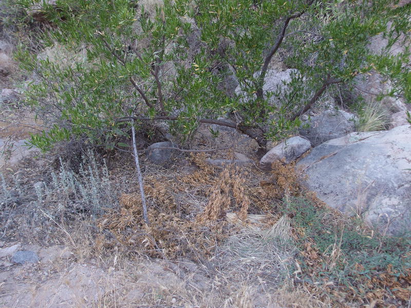
Remains of my old lean-to on Peter's Canyon
From this point I was treading on traveled ground, and the dried state of things made a larger impact on me. Back then the water had been flowing steadily along this whole section, a constant babbling stream moving and flowing along the creek, to the point where it forced me to the side and up on the banks multiple times. Now everything was bone-dry. My hope when planning this outing was that the creek was one of the few year-round flows of the Superstitions, ranking up there with Reavis Creek, but now that sounded overly optimistic. Between the barely-trickling springs that Chris and I found on our Dripping Springs loop a few weeks ago and now this, maybe there is nowhere in these mountains to find water until the winter months. Not that water is easy to find in the desert to began with.
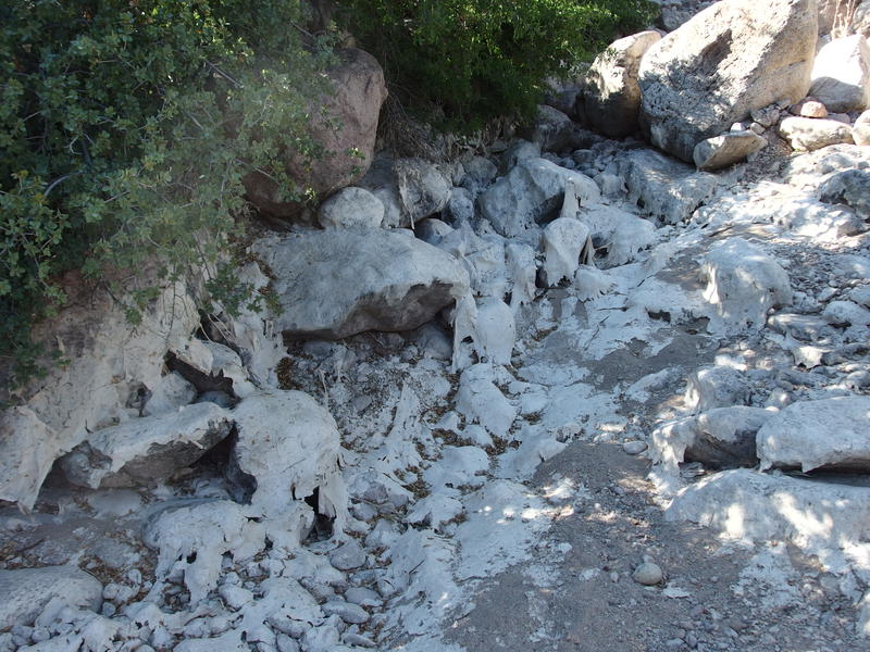
More dried algea along the creek
Rock walls began to rise up higher around me, closing in the creek to a tighter canyon. This, this also looked familiar. I was getting closer to the more dangerous sections of this creek where the only way through is to climb along narrow cracks in the wall. I was also getting closer to a special destination for today: Peter's Cave.
There are a lot of names that I've seen floated around for this cave, the most tantalizing of which is the Peralta Headquarters. I highly doubt the cave has any actual tie-in with ancient Spanish mines, though. This whole area is only reachable by foot - it didn't make sense that miners would use a cave as a 'headquarters' if their mules or horses couldn't make the journey. There might be connections with some of the more recent Dutchman hunters, curious prospectors hoping that a cave so close to Malapais and Black Mountain could have been the location Waltz's secret mine. I didn't expect to find any gold or old mines today, though, maybe just a nice cave with a bit of shade.
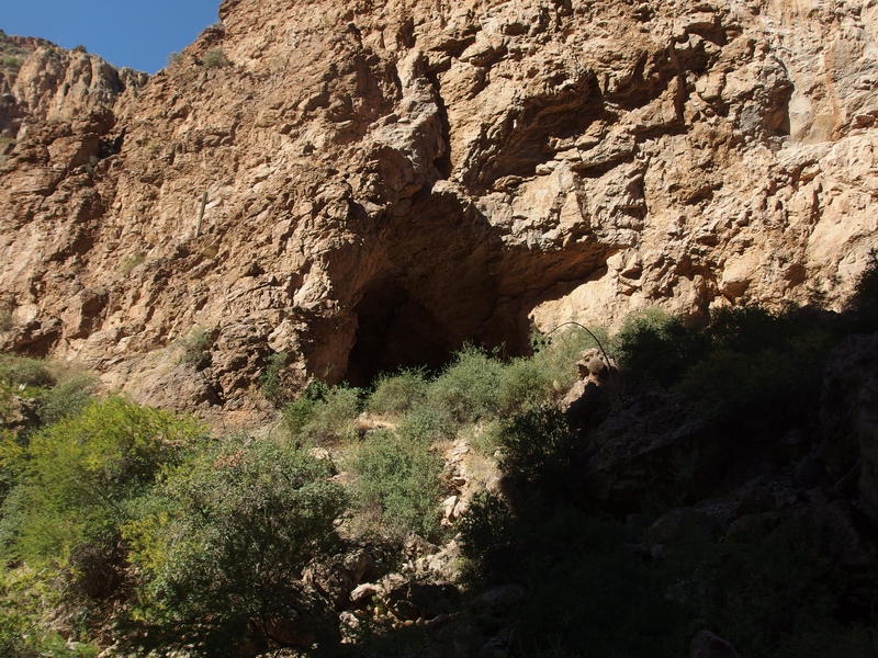
The dark hole of Peter's Cave above the bank
It showed up high on the western wall, a large hole with talus tumbling down from the entrance to the bank of the creek. A half-defined foot trail led up to the entrance over crumbling walk and through spiky plants, one that I scrambled carefully and still got several needles embedded in my knee. Once I reached the top I stopped briefly to pluck them out before looking around the cave. It was larger than it looked, a huge oval in the side of the rock wall, and there was plenty to check out.
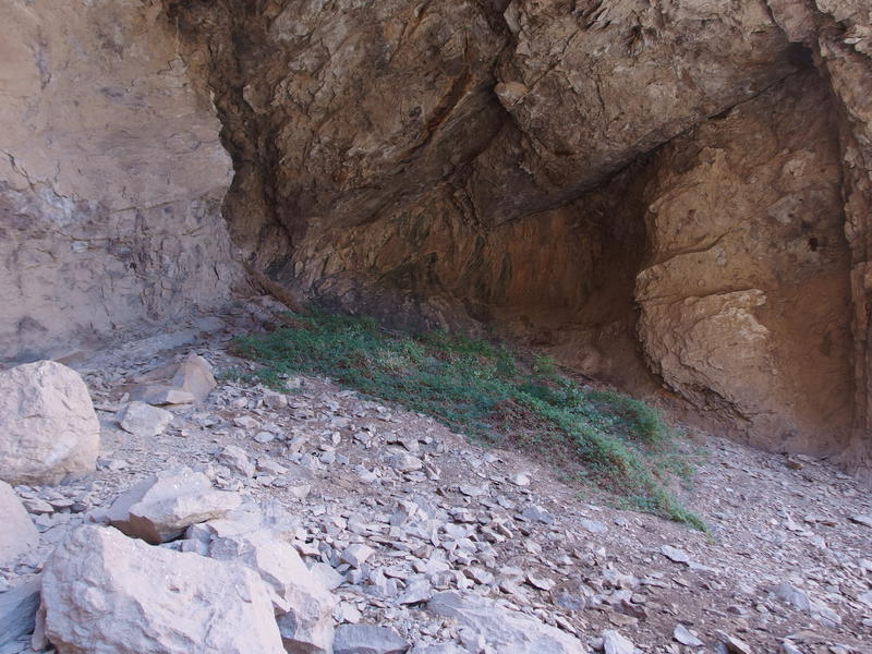
Sloped green grass within the cave
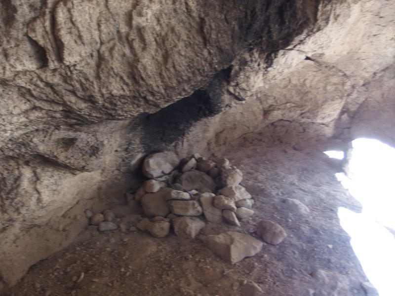
Fire circle in Peter's Cave
On one side was a sloped section of loose rock, probably from the eroded wall and ceiling. In the back of that side there were several suspicious holes scooped out - maybe some of that loose rock was from eager prospectors. The other side had some flat sections and a large fire ring, plus a log book. I signed the log book as I looked further up the canyon. There had to be pools of water near here, just a short distance up the creek, meaning this could be a year-round hangout for past miners. Maybe. If there were pools of water this late in the year they would probably be gone in a few weeks.
With an even more careful step I descended from the cave on that little footpath. This time I avoided the cholla that grazed me on the way up and I made it to the creek needle-free. Peter's Cave had been found, and the next thing to look out for was water. If I didn't find water within the next hour I'd have to start on my way back. It didn't even take that long to find it.
The dangerous section of canyon arrived - steep rock walls surrounding smooth, deep pool of blue-green water - and I slowly made my way up along the cracks and past them. I hoped to find some cleaner water on the far side, perhaps a natural spring leaking out of the tall rock walls that fed into these pools like what I found in La Barge, but there was none. Only four or five stagnant pools, none of them flowing into another, mere rock basins holding onto the remaining water from past abundance. I picked one and settled down to filter.
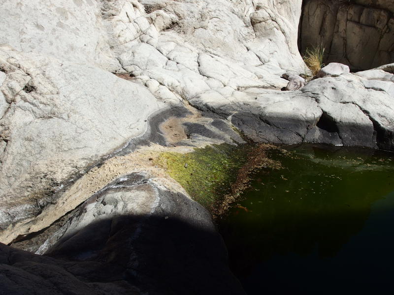
Skunky pools of water on the hard rock creek bed
Before I pulled any water I had to drink what I was carrying. When I left the van, hours ago, I had drank as much as my stomach could hold before starting the hike. The two liters I brought with me were barely touched. I was thirsty enough to gulp down a full liter, munch on some salty snacks, and then drink the second one. Instant cramping ensued. I wasn't sitting in a very comfortable position, and that much water flooding into my system without any sort of electrolytes was a recipe for a tough time. Groaning and complaining like a man twice my age I shifted to a better seat before starting to filter.
It took a long time to pull to a full four liters of capacity - I had been carrying an empty bladder for this moment - and my pack definitely felt the difference. I was carrying more weight in water than all my other gear combined. I checked my watch and sighed. It was after nine thirty already. My plan was to reach Peter's Mesa by noon and enjoy the exposed winds up there during the heat of the day and I was less than a third of the way there. I shouldered my pack and booked it upstream, working the cramps out of my legs with swift hiking, and soon left the water behind. As soon as I hooked around the last bend and faced the arrow-straight southern portion the sun glared down on me unforgivingly. This was going to be a long morning.
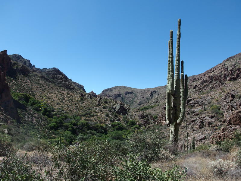
Tall, lonely cactus above the canyon
The next few hours passed by in horrible slow-motion. There was one section of the creek where huge boulders forced me up and over a low saddle, the same low saddle I had found an abandoned campsite last January, but I was stuck in the creek for the rest. There was rock-hopping and sand-slogging and boulder-clambering and a few blissful sections of hard rock slabs. The cramps never really went away, even after a liter of electrolyte-mixed water and a few five-minute snack breaks. Eleven thirty found me huddled in the partial shade of a mesquite tree, watching a brown frog climb up a rock, soaked in sweat and feeling drained. I was at least three miles from the mesa still and having serious doubts about pushing on.
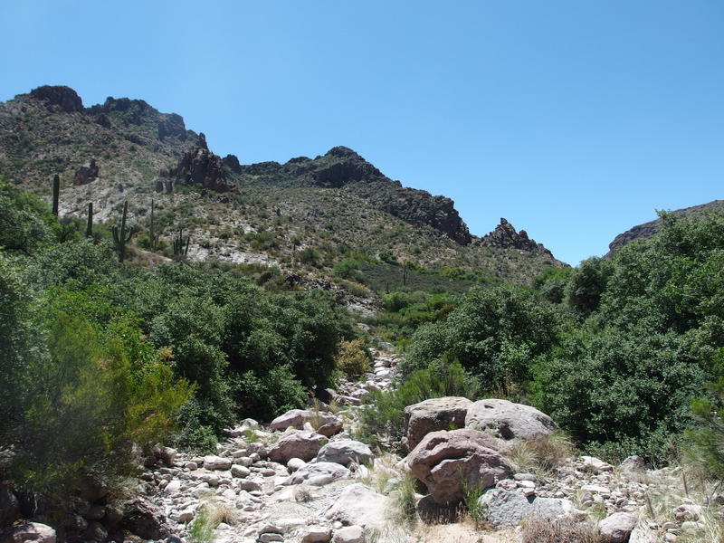
Thick green growth around the dry creek bed
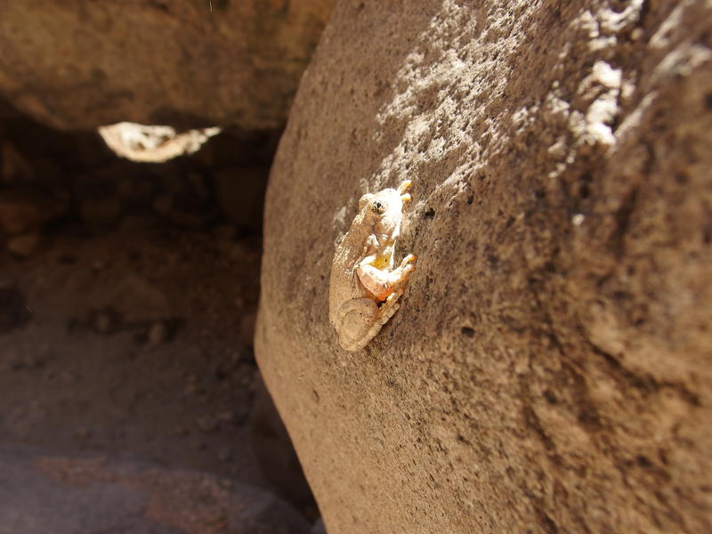
Sticky frog creeping up the rock
I was somewhere in the vicinity of Pistol Canyon now, which separates Malapais Mountain from Black Mountain. The unnamed canyon I had dropped down from Malapais Mountain on my first visit to this area was hardly noticeable from the creek, though the thick green trees I had hacked through were all too recognizable. Peter's Canyon was now mostly huge, sun-scorched boulders between tall rock walls, looking more like the tough bouldering in La Barge than anything else. I knew the going would get easier as I approached the mesa, more small rocks rolling down than boulders, though that could be miles further along.
There were options with my hike. I could skip Peter's Mesa and just circle over to Kane Spring and Tortilla Mountain. That problem still existed, though - was there any water at Kane Spring? Peter's Creek had been a huge disappointment. I had expected several miles of flowing water along it, not the handful of stagnant pools that were out here. I could probably make it to Kane Spring with the water I had on me, but if there was no water there, I probably wouldn't find any in Tortilla Creek either. Which meant six very dry miles back to AZ-88 and another four or five on a paved road back to the car. I didn't trust Kane Spring enough to risk heat illness. It was too hot in this canyon, too hot out here in the Superstitions this weekend, and I wasn't in the mood to be rescued. I turned around and headed back down the canyon.
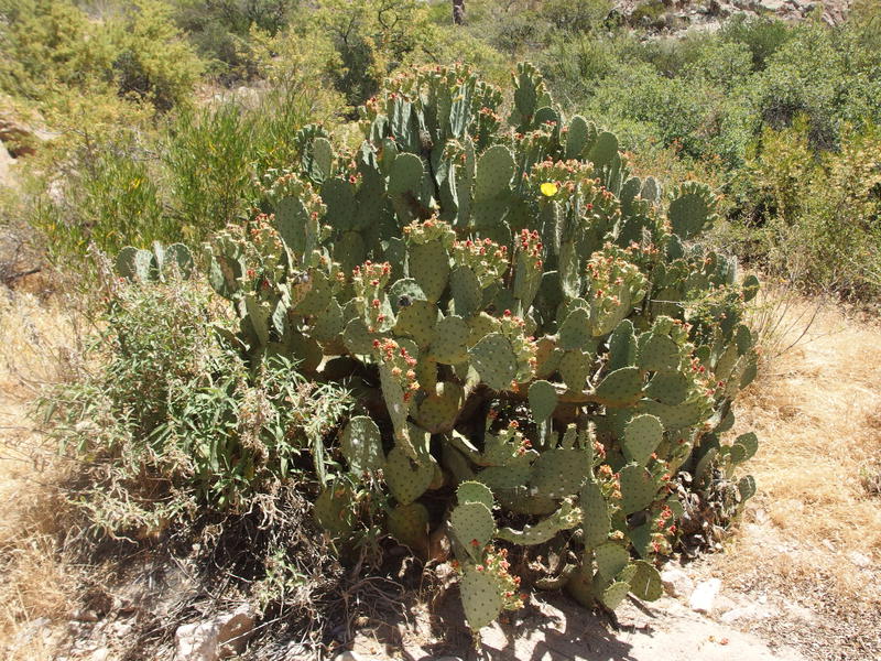
A huge prickly pear along the bank
As much as I hated backtracking, I was looking forward to getting out of this hot-hot canyon and, you know, surviving. I wish I had a little thermometer on me. It had to be well over ninety down here. My planning had focused on Tortilla Mountain, as I planned to spend the night there, and the forecast at 4000' had been high eighties and windy. I was stuck around 2000' with no wind. Whatever it was, it was hot. My skin felt hot, my lungs felt hot, my head felt hot. I took the walk back slow, stopping regularly for water breaks under what shade I could find, mixing in electrolytes with every-other liter. By the time I returned to the stagnant pools of water my cramps were gone and I had finished off all four liters I had on me. I pulled another two to last the walk back to the van.
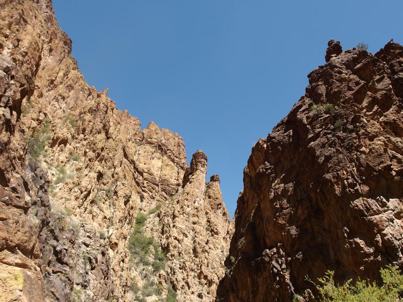
The tall, sun-baked cliffs around the canyon
It was somewhat reminiscent of my last visit here. My muscles were exhausted from spending the whole day rock-hopping and all I had to do was walk a few miles downstream to the van. Now it was three in the afternoon, though, when it had been seven in the evening during that last fateful hike here. I didn't even try to push for speed. When a side trail showed up I took it, risking the wasted time in hopes for a break from the uneven pace the creek forced me into, and was happy to find a few little campsites and several hundred yards of easy walking. When the huge boulders showed up that forced me to squeeze and slide I took them slow, checking for alternate routes and taking my time dropping down. And when I reached the confluence with Tortilla Creek and a shaded seat under a rock wall I plopped down and made an early dinner of crackers and peanut butter.
Turning around was probably a good idea. If I had continued on I'd be at, or near, Kane Spring by now, and even if things worked out and there was water there I'd be struggling with what to do next. The ambitious plan was to ascend Tortilla Peak today and camp on the far side near a suspected water source (which I now assumed would be bone dry). A more calculated option was to camp at Kane Spring and worry about Tortilla in the morning. Right now I was tired. Mentally tired from all of the route-finding and physically tired from the tough terrain. My bones ached from tiredness. If I had pushed on today I'd be in rough shape to tackle Tortilla with either option. Turning around was probably the best choice, from both a heat/water concerns and my condition.
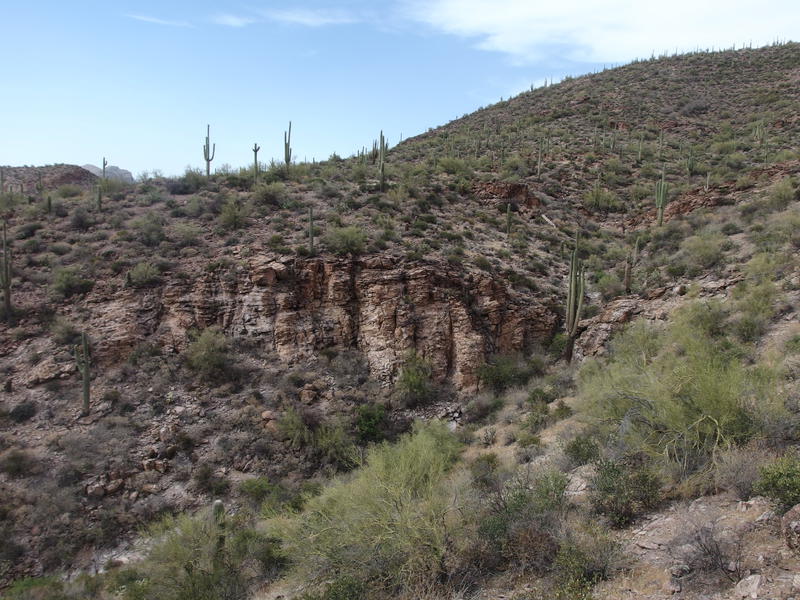
A tough shortcut above the creek
After peanut butter and crackers I made my way into Tortilla Creek, climbed up that little shortcut to avoid the big bend, and then hesitated. Mesquite Creek had been a pain to navigate this morning. I could cut straight across it and walk AZ-88 over to Mesquite Flat, risking car traffic, or I could stay on the south bank where I was now. I vaguely remembered a few drives reaching up the south bank from Mesquite Flat. Finding one of the drives could make a very easy walk back to the car. I stayed above the creeks and walked through the desert, keeping an eye out for the drives or any sign of Mesquite Flat.
I never did find any of those drives. Instead, cliffs and loose rock forced me down into the creek after a half mile of cross-country. I was fine with it, as I still managed to skip over the deep pools and box canyon portion of Mesquite Creek and I got to avoid all of the stinking moss on Tortilla Creek. It was an easy five minute walk in Mesquite Creek before I reached the van. I changed out of my sweaty shirt, drank some hot bottled water, and started the long drive back to Gilbert. Tonight I'd be taking a hot shower and drinking cold water instead of sleeping in the desert.
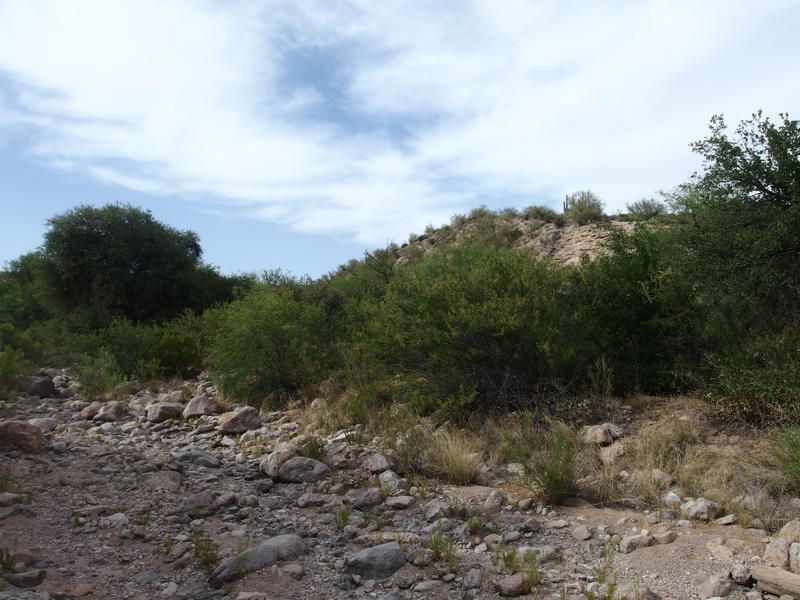
The rocky creek near Mesquite Flat


Comments (0)