Malapais Loop: To Geronimo Head
One location in the Superstition Wilderness that has been on my hiking todo list for months is Malapais Mountain. When Chris and I first ventured beyond Black Mesa to Boulder Canyon and Battleship Mountain it dominated the eastern horizon like a giant, lurking monster. I took one look at the thing and told Chris that we were going to climb it, and, if memory serves correctly, he looked up at Malapais and asked 'How?'. For a long time I didn't have a reasonable answer.
Eventually I patched together two possible routes up the mountain. The easiest is to get on Peter's Mesa, which sits next to Malapais, and head up the southeast face. Peter's Mesa is around 3400' and, ignoring the shallow head of Deering Canyon that cuts across the way, this would mean an off-trail climb of less than a thosand feet to a summit. There are even trails that go around by Charlebois and head up the central part of Peter's Mesa, which keeps the cross-country part relatively short. The problem with this approach is the distance - there would be no way to make it this far from a trailhead in a single day, and even two days would be pushing it.
The other route, the one I was aiming for today, starts near Tortilla Flat and climbs up the back of Geronimo Head. Again, there is a shallow canyon to cross, and another thousand feet or so of climb up the northwest face to the peak of Malapais. Oh, and this route is completely off-trail. That means six miles (one-way) of cutting across open, exposed desert, with an accumulated climb of 4000' over crumbly mountain, without any semblence of a path to help out. Maybe calling this a route is a stretch.
Dim sunlight over Coronado Mesa
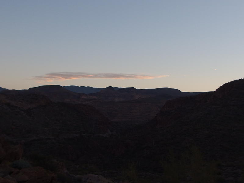
Parking on the side of AZ-88 near mile marker 214, I headed down a loose road grade into Mesquite Creek in the predawn. It wasn't terribly early when I started, forty minutes before the sunrise, and the desert was light enough to not need a headlamp. I didn't feel like bushwhacking in the desert in the dark. It took an annoyingly long time to drop down into the creek over loose rocks and gravel and even longer before I could push through thick vegetation clustered around the convergence with Peter's Creek. By the time I started gaining elevation on the far side the sun was beginning to light up Four Peaks in the north.
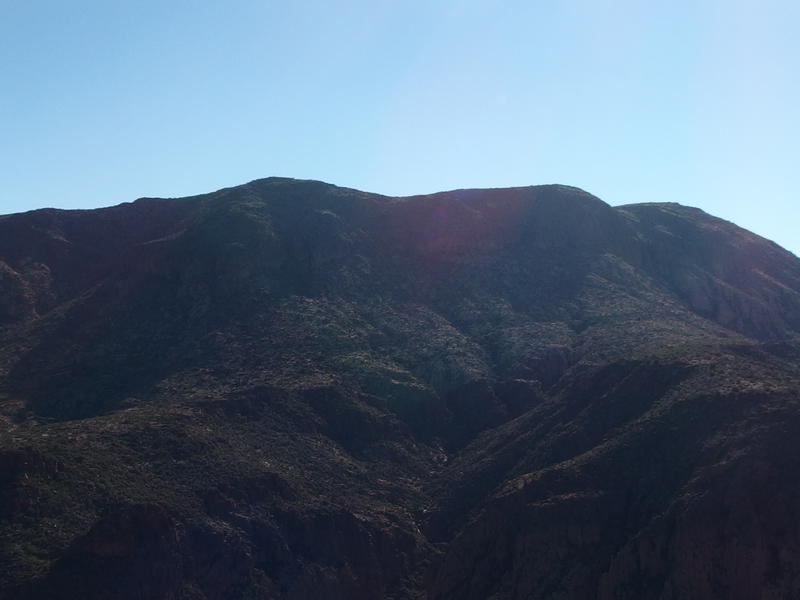
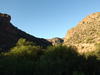
The dim back of Geronimo Head
Sun beginning to shine on Four Peaks
My hike was laid out in three main parts. First, I had to cross Peter's Creek and climb up the back of Geronimo Head. This leg is over three miles long and has an accumulated gain of 2500'. Then I had to cross a shallow canyon and climb up to Malapais proper, another three miles and 1000'. Last was the return up Peter's Creek, six plus miles of rock-hopping along a wash with a few little hills and obstacles to climb over. Twelve miles and only ten hours of daylight - I should be able to make that work.
The climb up the back of Geronimo was kicking the crap out of me. I kept hunting around for a trail that never showed up. Other people have done this hike, had taken photos and posted them in forums, though there weren't any paths or cairns to mark their passage. I slipped over the loose rock, crawled up the steeper sections, and stopped to plan out a route forward every dozen yards. It was a slow, painful process.
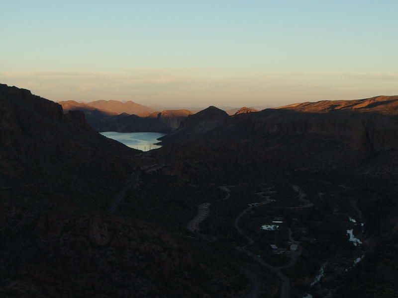
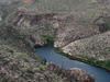
Sun creeping towards Canyon Lake and Tortilla Flat
At least I was in the shade. A long ridge off of Tortilla Mountain plus the back of Geronimo would keep the sun off this area for hours. Tortilla Flat, the little town sitting below my climb, must make a good mid-morning stop for drivers up AZ-88. I've only driven the length of the road once and have been wanting to haul Katie along it, though the two-plus hour drive and roundabout return to Phoenix has kept us from bringing the kids along. Maybe we could find a sitter and just drive in a quiet van for a few hours.
Bright morning sun on Four Peaks
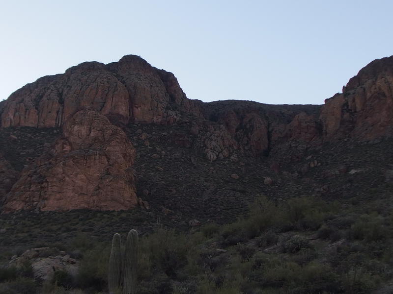
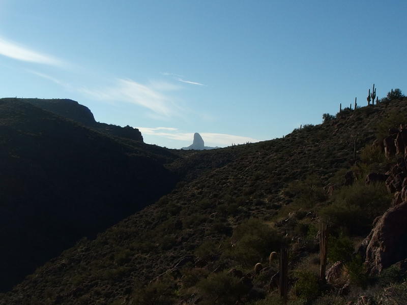
An hour into the climb and I was almost at the first saddle, a lofty thousand feet above my starting point. I've heard that this is one of the trickier parts of this route. There are only so many ways to climb Geromino Head without having to deal with sheer cliffs, and this one meant swinging into a saddle between a spire and a high rock wall. On the other side of this saddle was a wash that drained Geronimo and provided access up the last few hundred feet. I couldn't wait to reach that wash. All morning I was within sight and hearing of the road below and I wanted to get into the quieter reaches of the wilderness.
The border of Superstition Wilderness is located a short distance from 88 and Tortilla Flat. Most of the time I access the wilderness from First Water or Peralta Trailhead, which are both dirt-road drives off a busy road. The trailheads themselves feel removed from the hustle of the nearby city. This did not. The low volume of traffic on 88 was jarring, loud bumps of trucks and boat trailers over rough sections of road bouncing up to me, no forest or trees to muffle the sound.
Dim, cluttered gorge full of brush
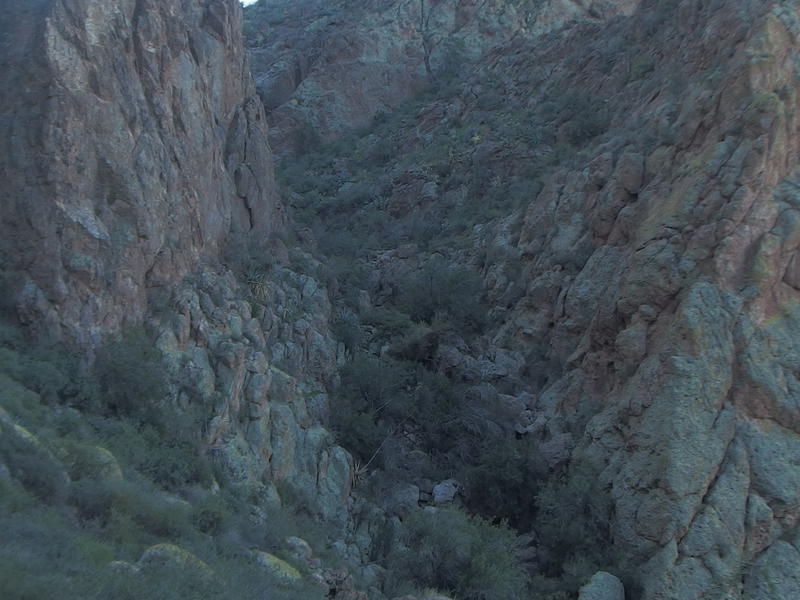
I crested the first saddle and looked over at the wash and was immediately discouraged. A sudden drop sat in front of me and, across the way, there was a wall of thick green brush leading up the slope. Normally I love to see green, but in the desert this color meant a prickly, dusty, and painful barrier to push through. I took a moment to munch on a snack before continuing forward. I had plenty of food with me today, plus a full four liters of water, and had no worry about running out of either.
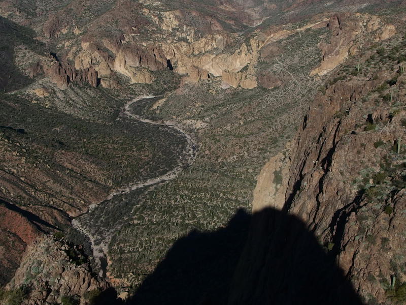
Dropping down into the wash was easy, and I found a ridge of rock along the thick green that made for a steep yet clear climb. That wasn't so bad. Once I made it past the green I had a rock wall to swing around, a dripping waterfall to climb up, a few pools of stagnant water to hop over, and I was on Geronimo Head. Or at least the back of Geromino Head. This mountain is shaped like a huge, slowly draining valley, and I was in bottom of the drain. If I wanted to see anything I had to climb up the side of the valley, another few hundred feet above me.
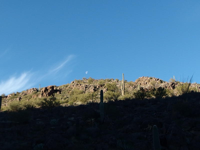
Fading moon beyond the hill's crest
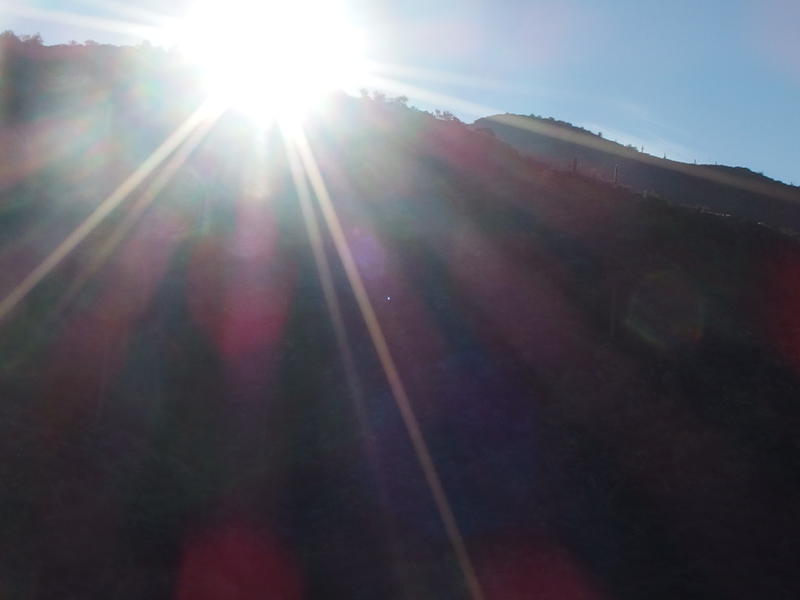
First hit of sun on Geronimo Head
On my way up out of the bottom of the valley I got my first blast of sun, an unwelcome glaring intruder on my cool, shaded hike. Might as well get used to it - I'd be exposed to the heat of the sun for much of the day. The high today was only supposed to be in the mid-70s (it ended up being well above 80), and it was already pretty warm. A fresh outpouring of sweat reminded me to keep sucking down water.
Weaver's Needle beyond the saddle on Geronimo
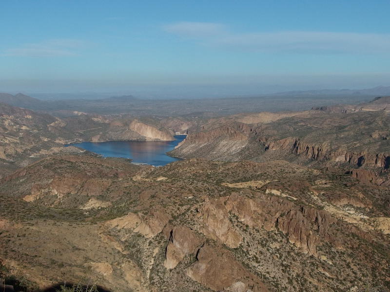
Bright sun lighting up Canyon Lake
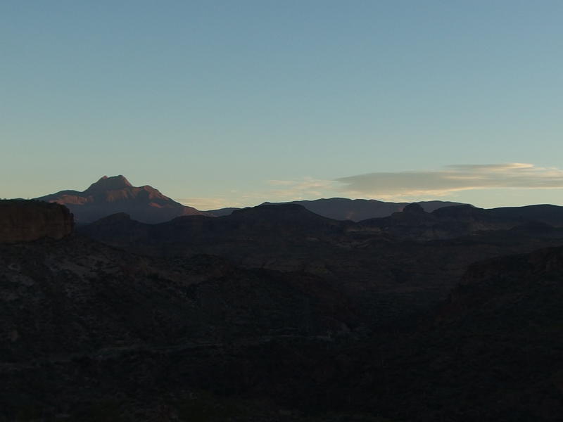
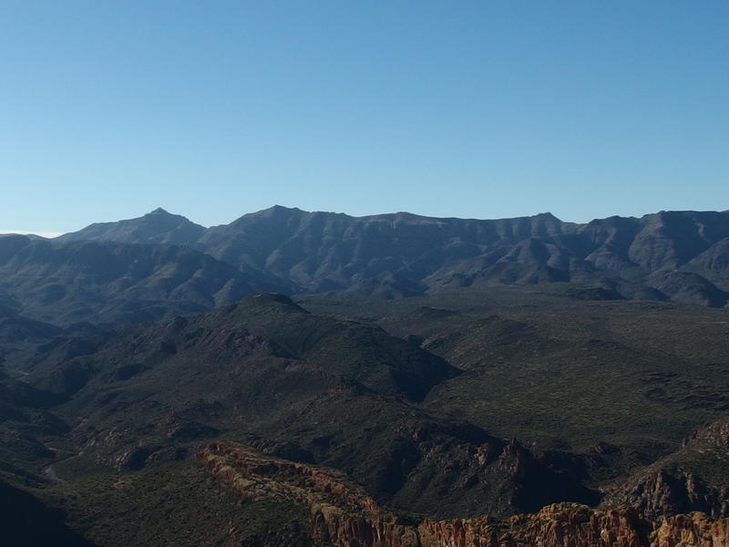
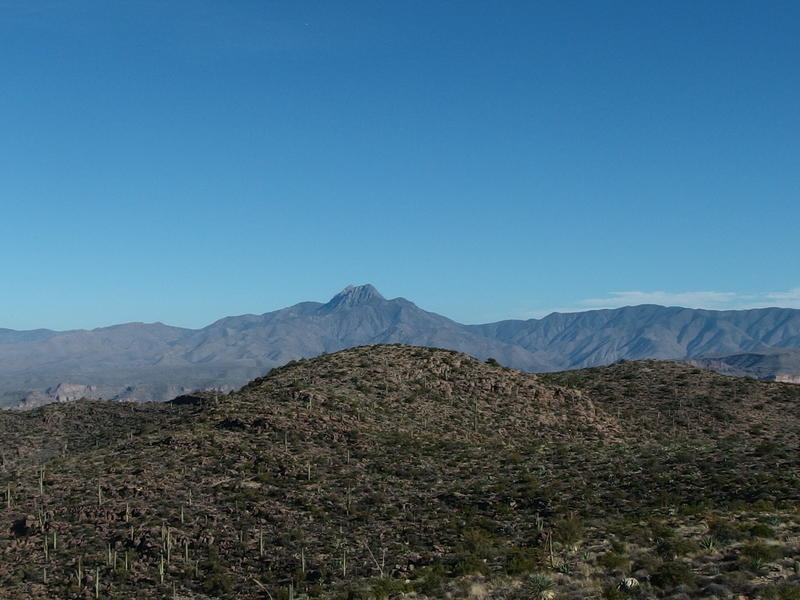
Views began to open up as I gained elevation. The first thing that poked up in the south was Weaver's Needle, easily the most recognizable formation in the western Supes. The needle isn't terribly high, around 4500', and I wasn't sure if it would be as prominent against the horizon throughout the day's adventure. The much taller Superstition Ridgeline might drown it out once I got on top of Malapais.
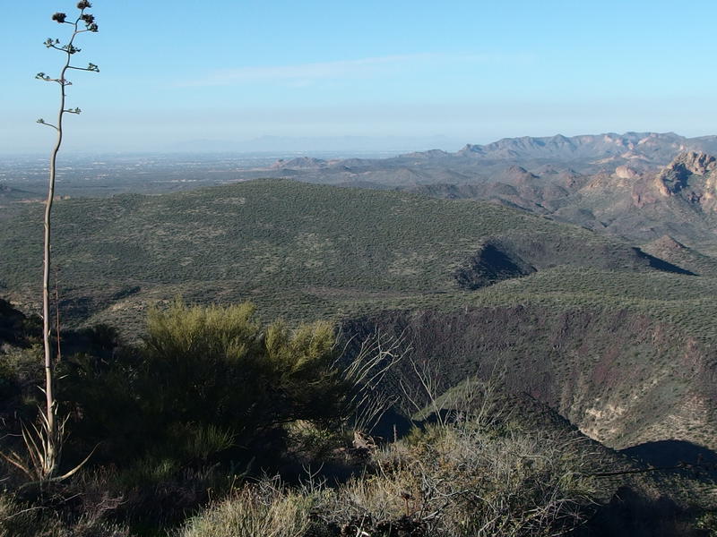
Vast green flats of Hackberry Mesa
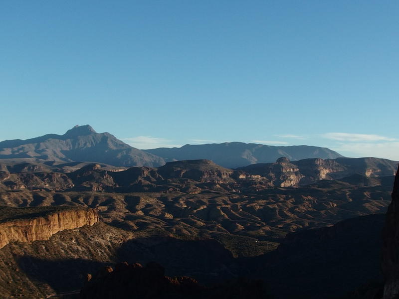
Once I crested the hill I finally got the view I was working for. Hackberry Mesa stretched out in undulating waves far below me, deep gorges cut into flattened piles of black volcanic rock with a sparse covering of green growth over the top. Soon I'd see Black Mesa and, hopefully, a glimpse of Garden Valley in between.
Beyond Hackberry Mesa were a series of bumpy yellow and red hills that attracted my attention. Some of them were the Goldfields, far off in the distance, but the closer ones were just unnamed little guys around First Water Creek. 88 winds around in there, hugging one side of a hill or the other on the descent down to Canyon Lake and Tortilla Flat, and little else. That's a pretty big swath of land that doesn't have any trails or anything, which makes it all the more tempting for a wander. Maybe a jaunt up First Water Creek would be a fun summertime destination.
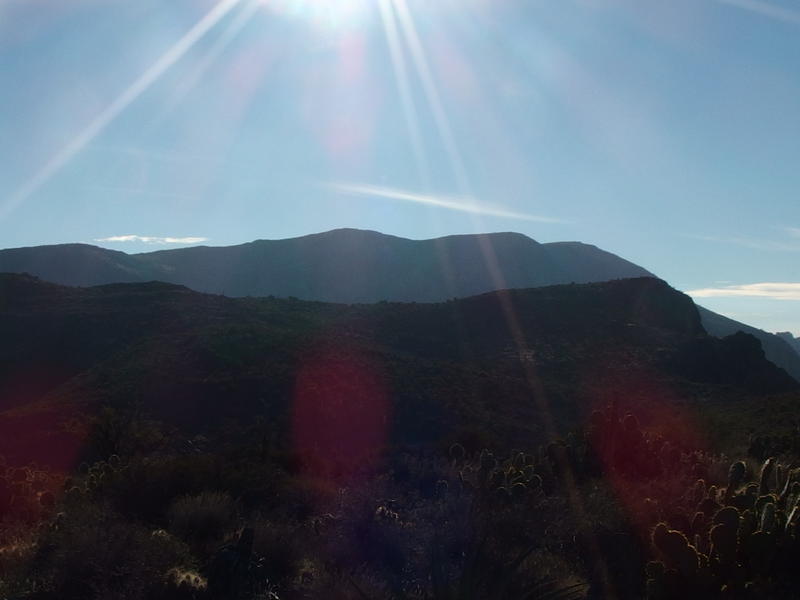
Dark silhouette of Malapais Mountain
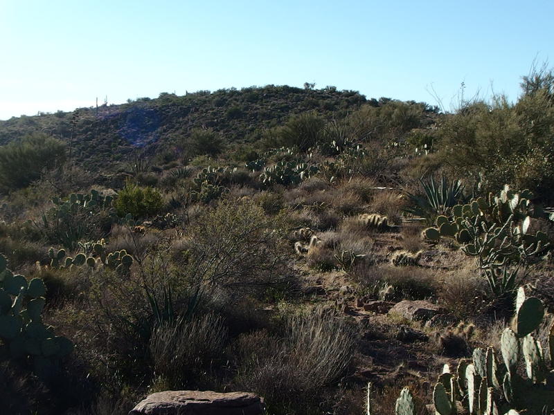
Cactus and brush covering up the route
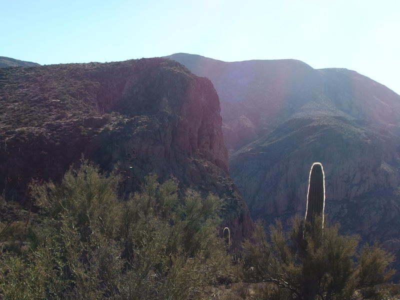
To the southeast was a much more sobering view. The silhouette of Malapais Mountain rose up above the slope of Geronimo Head, a grim reminder of how much more hike I had left today. I took another deep swig of water and pushed on along the cactus-laden obstacle course that was my route. While I appreciated the chance to walk on (mostly) level ground, it was no picnic up here. Pincushions, prickly pears, and agaves were like little landmines waiting to explode into my soft legs, while loose rocks underfoot tried to trip me and catclaw reached out to snag me. My journey south was a jagged, weaving thing as I did my best to avoid the evil legions of the desert.
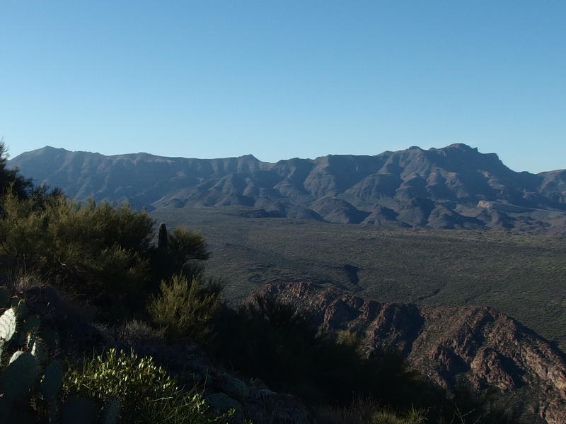
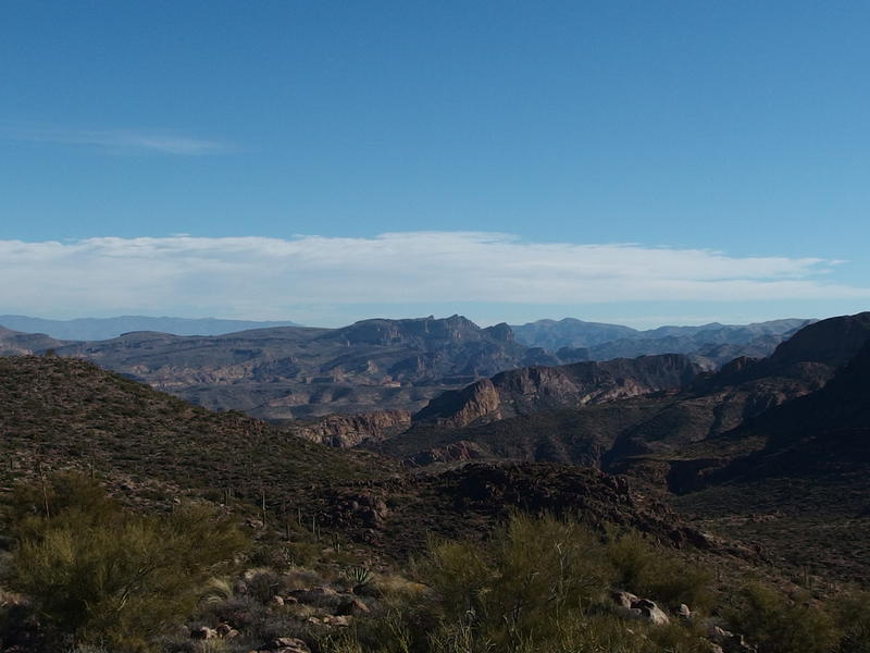
Long stretch of Superstition Ridgeline beyond Black Mesa
The northern end of Battleship Mountain
Them views, though. As soon as I crested each hill I would venture over to the edge of the cliff and look west to the Superstition Ridgeline and down on Battleship. The views were incredible. Everything was sprawled out in way that I had only dreamed of. The backside of Ridgeline was incredibly textured and dynamic, and Battleship Mountain… Dang. The views were well worth the tough route.
Hazy views of Weaver's Needle and Bluff Springs Mountain
One sight that wasn't turning out well was directly to the south. I'm not sure if there was a haze in the air, or if the direct angle into the sun was working against me, but the view of Weaver's Needle and Bluff Spring Mountain did not turn out well. Early morning or late night sunlight would probably look fantastic, neither of which I was going to get on this hike.
As I neared the southwest end of Geronimo Head I found a little surprise: a narrow fin of rock stretched directly west, complete with dangerous drops on either side of it. Heading out on the fin would be stupid, especially as I was hiking solo today, so I went ahead and did it. I didn't want to leave this area with any regrets or any reasons to try the difficult hike a second time in the future.

Narrow fin stretching out towards La Barge
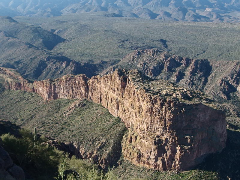
Looking down into La Barge Canyon and a distant trail
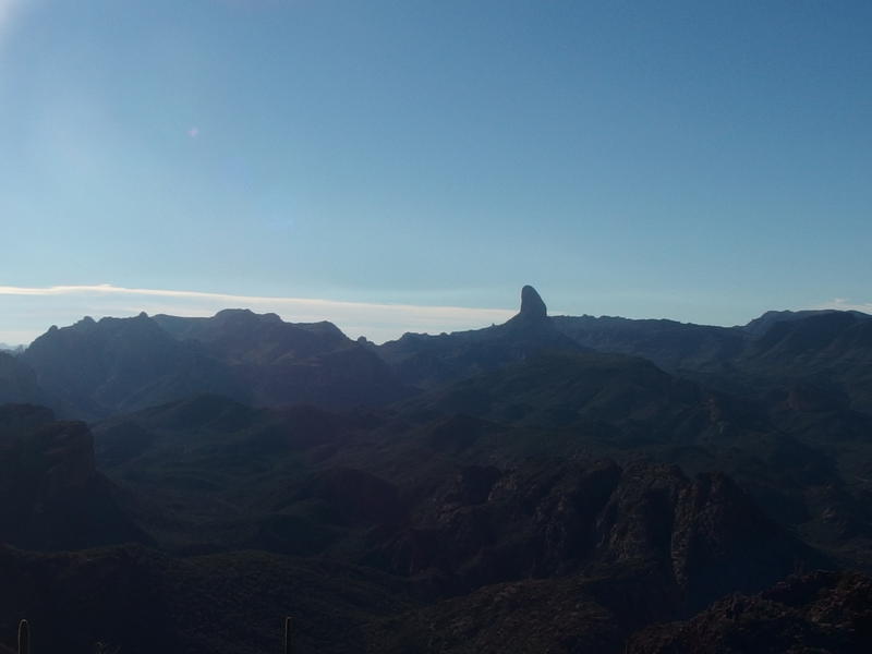
South Peak of the Superstition Ridgeline
Hazy skies over North Phoenix
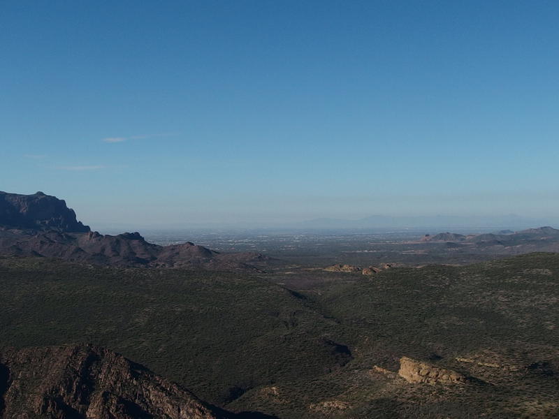
There was no disappointment from the tip of the fin. The view straight down into LaBarge Canyon, a steep 1500' below my feet, was ridiculous. If I had a chute or a wingsuit, this would be an amazing jump site to cruise down. And the view of South Peak and the Ridgeline, and even of the ugly haze that always hangs over Phoenix, was also great. I sat down on a flat boulder on the tip of the fin and soaked up the sights.
It wasn't all perfect, I guess. I could still hear the occasional loud thumb of a car going over one of the bridges on 88, and far too much plane traffic overhead, and the sprawl of Phoenix in the west were all reminders that I was still very close to civilization. A mere twenty miles further east in the Supes and things would feel much more remote. Yet it wasn't half bad. I was perched on a lonely fin, hadn't seen a soul all day long, and had amazing views in all directions.
Malapais Mountain beyond the end of Geronimo
After a decent rest I got up, retraced my route along the fin, and started up towards the highpoint of Geronimo Head. Well, sort of. The highpoint is on the northeast shoulder, and I'd be heading that way soon. For now I was heading towards a prominent bluff on the southeast end, the bluff that looks the most like a 'head' that anything else up here. To reach it I had to swing down into a little saddle, the head of that draining wash I had followed up an hour ago, and then climb a few hundred feet under the direct sun. It was tougher climb than I cared to admit.
Bushwhacking takes a lot of energy. Part of it is the constant start-stop, always looking around to keep on track while making sure you don't step into a hole/cactus/nest of snakes, and then there is also the constant weaving and uneven steps. A trail is just a stroll, one that you barely have to pay attention to, and the steepest paths are easier than level-ground bushwhacks. My legs were tired. I didn't want to acknowledge that, with less than a third of the route behind me, but my legs were tired. This would come back to bite me hard before the day was done.
A looming Malapais Mountain
Four Peaks poking up above the low hills
ridges-beyond-fish-creek
The views from the bluff were quite different than the ones I had gotten so far. Malapais was so much closer now, visceral in its looming bulk, and I peered across in half-disbelief. I was supposed to climb that? The views north were a nice distraction, hot mid-day sun on Four Peaks and a section of the ridgeline beyond Fish Creek (Black Cross Butte, perhaps). That ridgeline beyond Fish Creek would make for a heck of a fun trip. I tried to shake the distractions aside, tried to ignore the heaviness creeping into my legs and the little cramping clutches above my knees, and slowly headed downhill. It was time to leave Geronimo Head and start on Malapais.

Comments (0)