Red Road Cliffs
Most visitors to the Keweenaw Peninsula will remember The Cliffs by their name alone. A sudden up thrust of stark rocky cliffs stretching from Mohawk past Phoenix along US-41 with towering trees and large piles of poor rock is hard to miss, and for those adventurous enough, rewarding to climb. A variety of waterfalls and old mine ruins are located near this area, and an easy climb yields views from several hundred feet of rolling hills to the south. Far away to the southwest near Marquette is a similar treasure, much less known to tourists and adventurers: the Cliffs of Red Road.
I first got interested in Red Road during a hiking adventure in mid-July 2009. I was driving from Clark Creek to Mulligan Plains along the Dead River Basin (north of Ishpeming) when I glanced to the north and saw dark, towering cliffs. It was far too wet that morning for a side trek, so I pushed off this adventure to late August.

Cliffs of Red Road
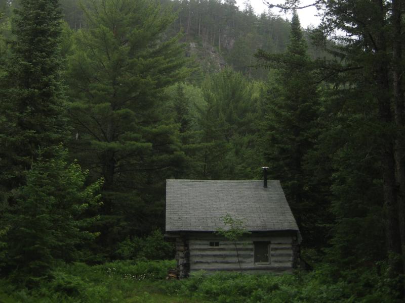
There's not much historical information regarding the highlands north of the Dead River Basin. It was heavily logged at one time, but the rugged landscape and sudden elevation has allowed much of the area to become quite overgrown. Rumors of gold and silver mines float around the general area, with Roper's Gold Mine to the south, Kennecott's Eagle Project to the north, and known gold-bearing formations near Rocking Chair Lakes, but I haven't seen or heard of any serious expeditions along Red Road (although there are six or seven 'Silver Lead Mine Lakes' within ten miles of the planned hike). The cliffs simply rise up from the sandy, boggy Dead River valley three hundred and fifty feet with sporadic hunting cabins along its base.
It was a warm Saturday afternoon when I decided to tackle the Cliffs of Red Road. While I didn't have Logan with me, a friend of mine from Green Bay, Kathleen, was my hiking partner for the trip. We headed up a trail from Red Road that took us directly towards our climb. The trail ended up being a driveway for a small hunting cabin, so we veered westwards on a four-wheeler track before starting the climb up a steep, narrow gorge. After a tough trek up a few hundred feet, we started headed west along the cliff's edge.

View east to the Dead River Basin
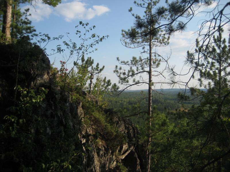
While the highest peaks were around seventeen hundred feet, we found that the best views were between fifty and seventy-five feet below this, as the edge of the cliffs had been worn down by erosion. However, this meant that we were constantly climbing up and down the steep edge of the cliff to enjoy the view, which soon tired us out. Also, a number of small gorges cut their way down the cliff which added to the difficult of our hike.
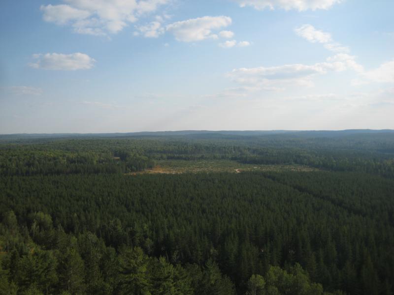
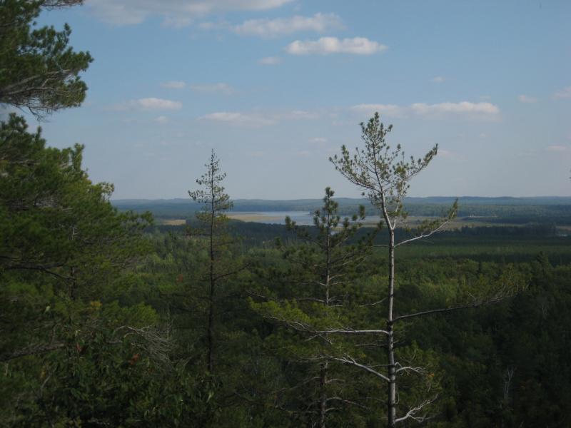
Our first good view was the tip of the Dead River Basin to the south with rolling hills in the background. As we headed further to the west, though, the cliff's edge started bending north into Mulligan Plains with views westward to the hills of Wolf Lake. Below us were broad expanses of planted pine trees, windy dirt roads, and scattered cabins. It was difficult to fully enjoy the experience with random vehicles roaring past on Red Road, but the view was simply amazing.

Looking south over planted forests
The planned hike would have taken us from Silver Creek's gorge, along the cliff's edge to two unnamed lakes, then back down through the highlands to Silver Creek (about a five mile loop), but Kathleen was getting tired of going up and down the cliffs edge after a mile, so we turned around just short of the half-way point. We tried to save some time by cutting into the highlands but found ourselves pushing through nasty, thick underbrush and headed back to the cliff edge. After enjoying the view one last time, we plunged down the side of the cliff along a small gorge.

Last view from the narrow gorge down
The underbrush on the outskirts of the cliffs was surprisingly thick, as the area here had been logged out within the last decade. We bushwhacked our way back to the road with a bit of difficulty and made it back to our car only a few hours after starting out. Even though we didn't get to explore as much of the area as I had planned, the hike still yielded some pretty amazing views of this area. As we drove away, my head was filled with plans for the longer and more challenging return to Red Road.


Comments (0)