Rainy Supe Loop: Final Haul up the Coffee Flat
A warm breakfast can do wonders. After yesterday's all-day rain, missed dinner, rough night of sleep, and frosty pre-dawn start this morning, I had been feeling pretty beaten up when I finally reached JF Ranch. I was also on mile thirty or so for the weekend, with thousands of feet climbed under a full pack, and my legs were feeling it. This warm breakfast gave me a burst of fresh motivation. I couldn't wait to get started again on the trail so I gulped the rest of my hot coffee, quickly changed my socks, and started hauling down the Coffee Flat Trail.
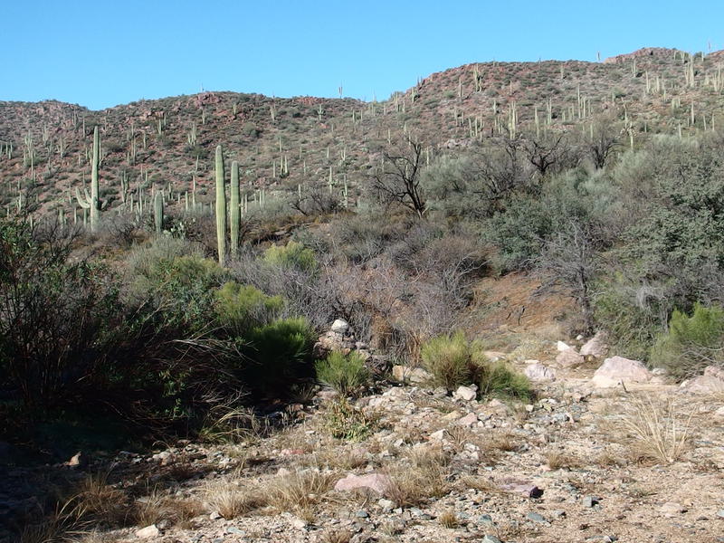
Where the trail meets the wash
Five minutes along the trail and it left the fence line and entered a wide, sandy wash. Well, I guess they don't call this Fraser Canyon for nothing. I looked around for a few minutes to see if there were cairns on the opposite bank and found nothing. The sandy wash had a few rocks in it, nothing too terrible, so I turned right and followed downstream. A few cairns began to pop up and show me that walking in the wash was, in fact, the correct route.
I was on my last leg of a three-day backpack in the Superstition Wilderness. The first (half) day was a straight shot from Peralta Trailhead, up and over Fremont Saddle, to Upper Black Top Mesa Pass and then Marsh Valley beyond. The second day was a more squiggly route up and over Peter's Mesa to Tortilla and then south on the JF Trail, with a heavy downpour soaking me for much of the daylight hours. Last night was spent up on Tortilla Pass, and this morning I came down off the pass, through Woodbury, and over to JF Ranch. All I had to do to finish the bottom of the loop was follow the Coffee Flat Trail west to Peralta Trailhead and my waiting van there.
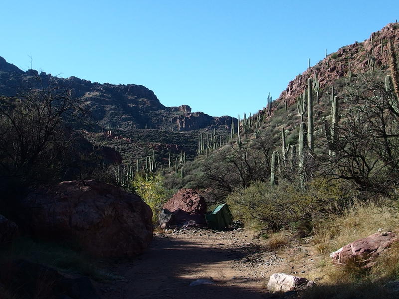
Metal water trough from past floods
As I walked down the wash an interesting sight showed up ahead - a large, green container was crunched up against one of the rocks. At first I thought it was trailer or shipping container, but once I got closer I could see that it was a water trough. Good grief the amount of water that had to be flowing to push this thing from the ranch down here, a few hundred yards downstream.
That was my concern with this trail being in a wash. I've yet to see a lot of water flowing in the Superstitions, just a few trickles and the like near springs, and have a hard time imagining something as wide as this or Randolph Canyon flowing. Still, it happens. These things are wide and showed signs of past floods, and this metal trough had been pushed here and was all dented from the journey. If I was hiking out here and a massive storm hit and I needed to get out in a hurry this route would be completely useless. Yesterday's all day rains hadn't been enough for this to flow, but one day I might get stuck out here. Guess I'd just have to hunker down and wait for the thing to pass.
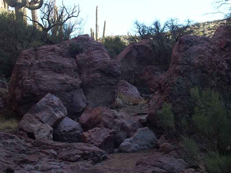
Huge red boulders along the wash
Beyond the trough was a section of boulders that, when this thing did flow, probably made a small series of rapids. There were a bit annoying to clamber over with my full pack. Aside from sections like that the wash was painless. The sand didn't give much, the little rocks were easy to tromp over, and I made quick time. I noticed that the trail jumped up out of the wash a few times to head along the bank and ignored that for the most part. The grass, which had been heavy with frost a few hours ago, was still very wet and would quickly soak through my battered boots. When I did follow one of these jumps up and out I ended up climbing annoyingly high up a rocky bank only to plummet back down. I'm not sure if it cut a lot of distance or just a boulder-clogged section of wash, though I know it sapped energy out of my legs.
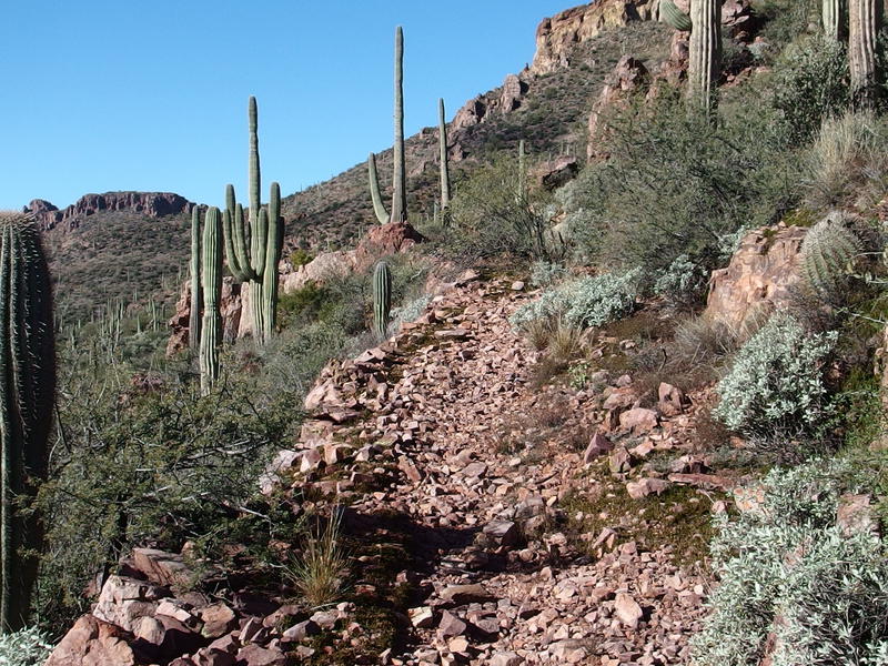
Well-made side trail along the bank
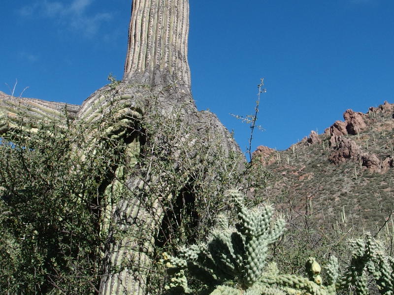
Sometimes saguaros forget how to grow
I had the rest of the day divided up into three segments. The first segment was JF Ranch to Red Tanks Canyon, which happens to be where Randolph Canyon comes in from the north. The second segment is from that junction to Miner's Needle. The last segment, the shortest and most familiar one, is actually on the Dutchman's Trail in Barkley Basin.
The first segment was also divided up into sub-segments, because I like creating artificial milestones when I'm hiking for hours and hours on end. I was currently looking for Whetrock Canyon, the first significant point beyond JF Ranch, which flows in from the south and is one of the first semi-reliable spots of water along this canyon. I wasn't too worried about water, having just tapped into my backup two liter bladder during breakfast. I could easily hike the last ten miles on two liters and there should be a few opportunities to filter if I wanted to be safe.
Things began to get a bit cluttered and the southern bank looked nice and flat so, when a cairn and path led out, I left the wash. This time the path didn't trick me into climbing high up the bank. I walked through a lush patch of low trees, possibly Palo Verde, which shaded thick grass underneath. There were more than a few campsites, actual campsites with actual grass to cushion a tent. Here I thought every night in the Superstitions would be on rock and sand, too. I made a mental note to make another backpacking loop that included this stretch in the near future.
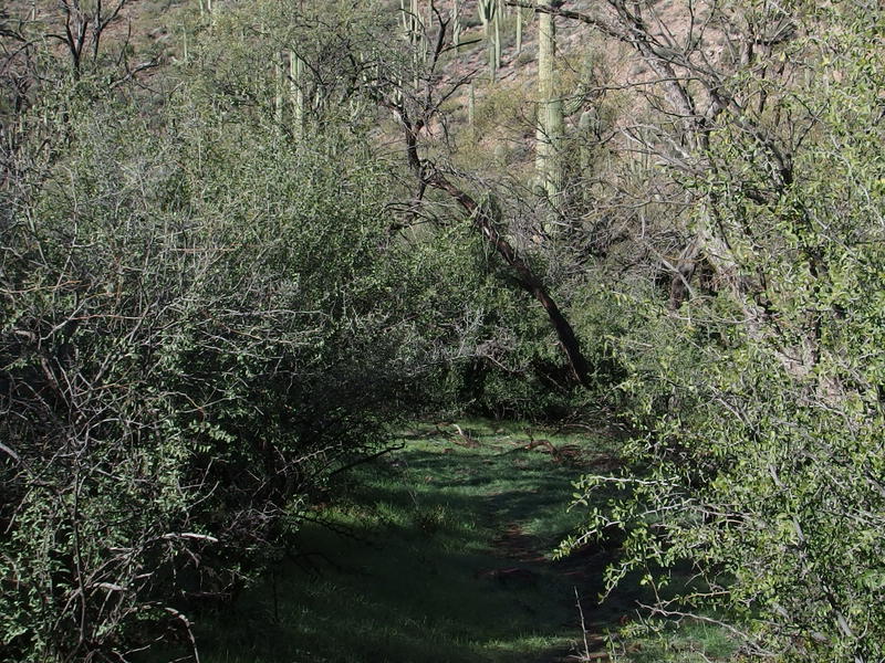
Green grass under green trees
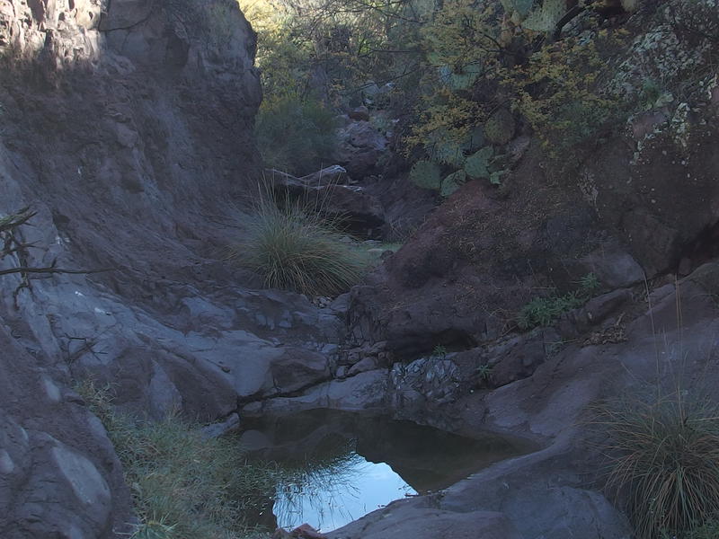
Pools at the mouth of Whetrock Canyon
Whetrock Canyon showed up with annoying abruptness, a deeply carved gully with pools of water that cut across my path and forced me to ease down. Once I reached the bottom of the rocky creek I had to follow it downstream and hop over huge, stagnant pools to get back to Fraser Canyon proper and the sandy wash. The water wasn't horrible and could have been filtered from, though I was surprised that it there was no flow down the canyon. This doesn't appear to be as reliable as a water source as I first thought.
Now that Whetrock was out of the way I began to lay off on my quick pace and take a few more of the side trails up. The sandy wash, for as easy as it was to walk along, did get a bit boring. Along the banks were little treasures to find, like campsites under spreading trees and clawing brush that reached over to snag bypassers. I never did leave the sandy wash for too long, as the trail continuously meandered back to cross and re-cross it.
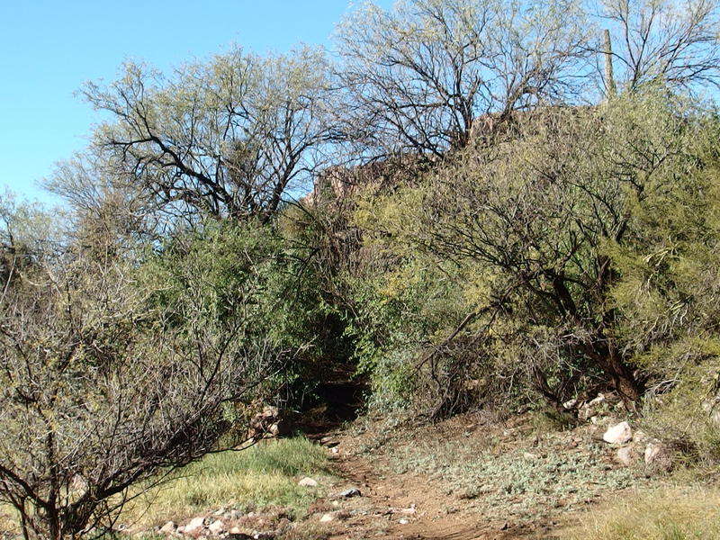
Another little trail leading out of the wash
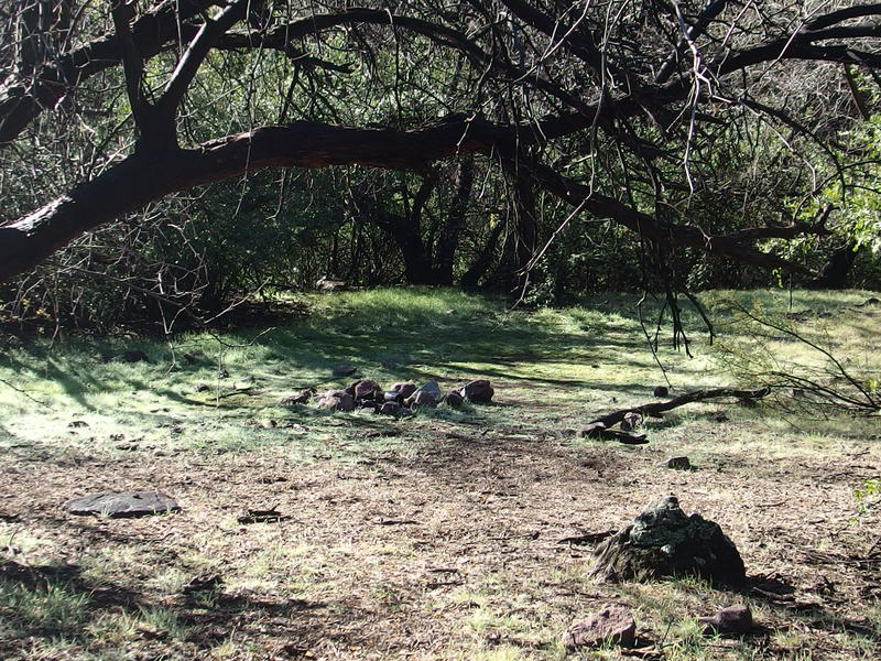
Large, fantastic campsite
I did keep my eyes high every time I was in the wash and the view was clear. Eventually the hills on my right would break and Randolph Creek would flow down from the north. Then I'd be roughly a third of the way to the van and a hot shower and as much water as I could drink. The break eluded me, though. All I saw was stacked saguaro, climbing hills, and rocky spires above those hills.
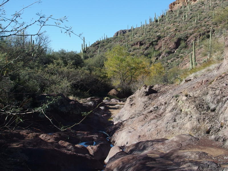
A few small pools along Fraser Canyon
One exciting thing that began to happen was water in the wash. It only showed up on bare rock, small pools with no hopes of draining into the sand underneath, yet it was water in Fraser Canyon. Maybe this thing had been running a bit yesterday during the storm, and now the only thing that remained was a few lonely puddles. If it was running, it may have run all the way to Queen Creek, a wash that goes within a few miles of my house before joining up with the Gila River. Wonder if Katie had been out and about yesterday and seen Queen Creek running from the same source I now walked along.
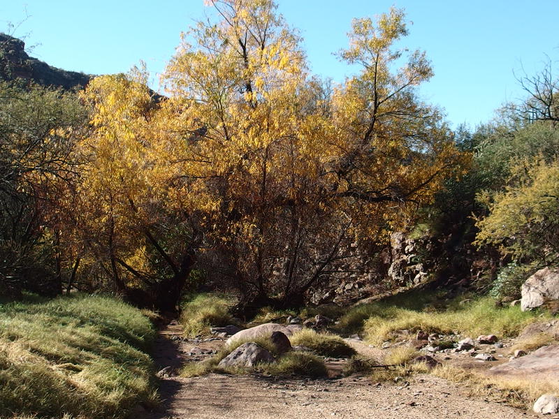
Huge sycamore and fall color glory
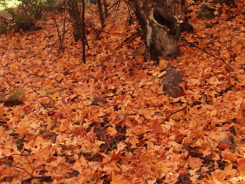
Thick cover of fall leaves
Arizona sycamores began to show up along the wash, things I had seen earlier on during this backpacking adventure and was still thrilled to find. Real trees, with seasonal leaves and non-thorny bark, growing in the desert. Under one grove was a full blanket of orange leaves that smelled of sweet rot and I was instantly taken right back to the Midwest autumn. A few yards later and it was desert and cactus, but for a brief moment I was back at home.
Beyond the sycamore stand was a few huge boulders that I had to jump down. It was a painful jump, one that was compounded by my pack (that I should have taken off before dropping), and one that knocked my camera right out of it's holder. While it survived the drop the next few photos didn't save properly, so I lost the photos of the junction with Randolph Canyon and Dripping Springs. These spots were worth a hike to see alone, large pools of water near the entrance of Red Tanks surrounded by large trees, and I can't wait to get back here for the relatively famous Red Tanks loop in the future.
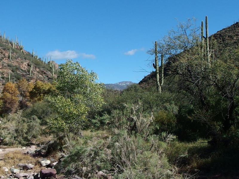
Distant snowy mountain far up the canyon
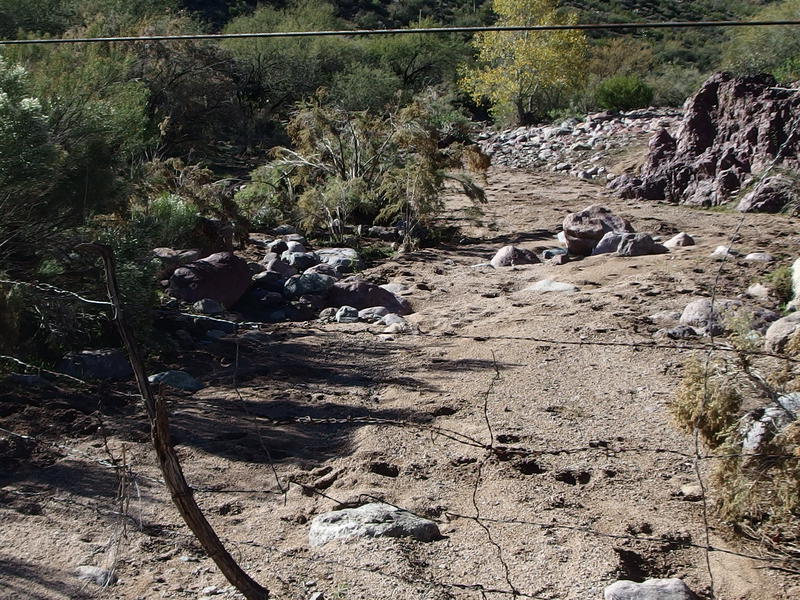
Bare wire fence across the wash
Right before I reached the edge of the Wilderness Boundary near Burro Basin I figured out what was wrong with the camera and took a quick photo back at the snowy mountain to the west, the giant that had been looming over there since I first stepped out onto Woodbury. That had to be Iron Mountain, which sits near Roger's Trough and is over 6000' up. In front of me, at the boundary, was a wire fence stretched across the wash. Apparently this is where the cattle roam.
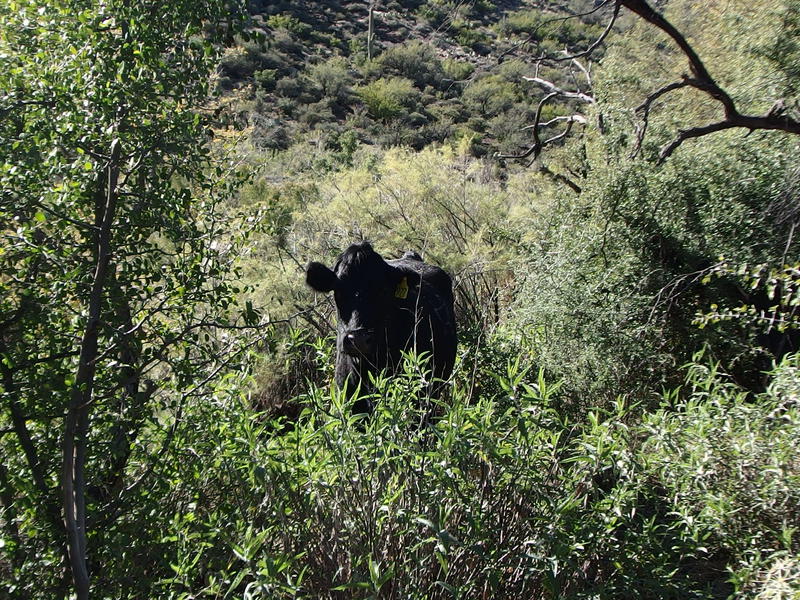
A challenger on the trail
I soon found out. On the other side of the fence I bumped into a stubborn cow that just stared at me with stupid eyes when I faced it down along the trail. Guess I wasn't meant for the trail. I cut back down to the wash and followed it west, doing my best to avoid the spots of stinky, sucking muck, my nose wrinkled against the smell of cow manure. Guess I just had to think of the Midwest back at those sycamores...
There was something distracting me from the cow pasture I was blazing through. High above me was a broken ridge, at least three separate blocks of rocks that hung crazily high above me. Reaching the base of those rocks would be an adventure in itself, a long bushwhack up the crumbling hillside, and then trying to find a good access route up each one would be a fun exploration. I'd later find out that the ridgeline is potatoes compared to the peak on the south side, Buzzard's Roost, which appears to be a insane peak with an great view of the surrounding land.
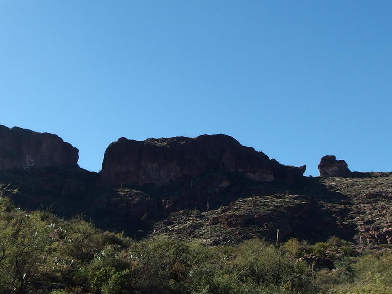
Huge broken ridge above
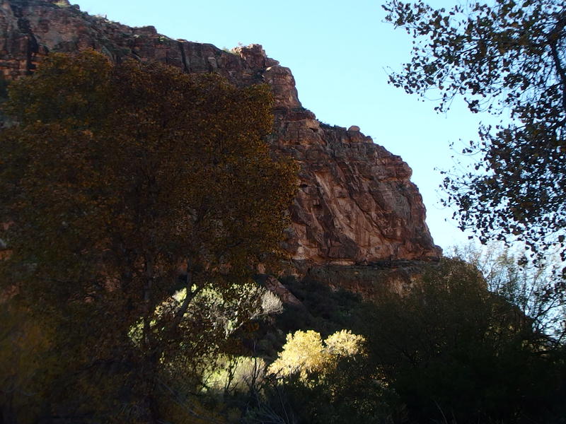
The sharp end of the walled ridge
Beyond the shadow of that ridgeline there was a break to the side of the wash and I cut over to check it out. A broken windmill and old cement trough sat in a small clearing with a wide path leading north. The path seemed far too wide for a trail and I thought my route stayed in Randolph Canyon (it doesn't). I paused here just long enough to puzzle over things before returning to the wash.
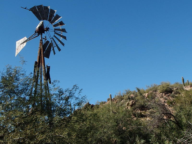
A broken windmill above an empty trough
I wasn't quite sure this was the right way, so I kept my eyes peeled for cairns or paths. There was plenty of the latter, probably from the cattle and cowboys pushing their way through the thorny brush, and the wash had a lot of tracks in it as well. But there was no cairns. After wandering along for twenty minutes I finally gave in and checked my map. Yup, the trail cuts north out of the canyon, right near the point of that ridgeline where the windmill was. I backtracked and followed the wide path out.
Now, I had hoped on getting water around here. I was probably down to a single liter by now and it was getting uncomfortably warm out. There was no way I was going to pull from any puddles in the pasture, though, not with the grazing cattle and their rank stench emanating from the wash. Reeds Water should be around here somewhere. If it was the windmill and cement trough I was out of luck - there was no water here and it was within the fencing. I supposed I could stretch my single liter out, things would just be a bit dry for the last few miles.
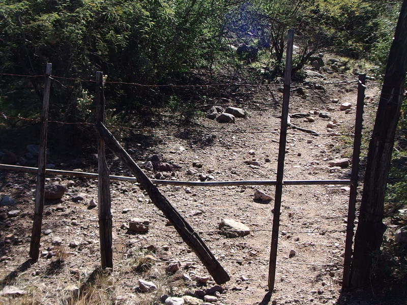
Another weird wire-only gate
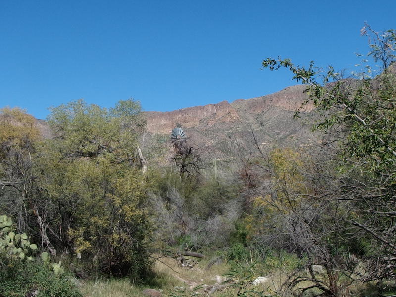
Windmill above Reed's Water
The wide path leading away from Randolph Canyon soon bumped into a wire gate that I passed through before starting a long, gradual climb up an exposed hill. The trail was easy enough, rocky and loose in sections, and I tried to convince my legs to push quickly up the hillside. I glanced behind once and noticed a new windmill rising from the trees. Shoot, that was probably Reeds Water. I wasn't in the mood to backtrack so I pushed my thirst aside and continued up the hill.
The hill crested and I got a taste for the next section of trail. I was in a wide, sloped bowl of cactus and green shrubs that all drained down behind me to Randolph Canyon. So this is Coffee Flat - a basin that flows away from Miner's Needle and Peralta Trailhead even though it sits a low saddle away. It was green, much greener than Barkley Basin, yet nothing compared to the lushness I had walked through earlier today. I was back in the desert again.
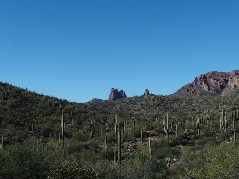
Getting closer to Miner's Needle
Poking up past that low saddle were the narrow fingers of Miner's Needle. Seeing that formation made my long hike seem almost out of the heart of the Superstitions, that I was returning to the western side that has already been explored by Chris and I. Sure, I still had miles and miles to go, and I was barely halfway through the second of the three segments I had artificially created so many hours ago, yet things were almost done. Soon I'd be on Dutchman's Trail, a highway compared to some of the trails I was on yesterday.
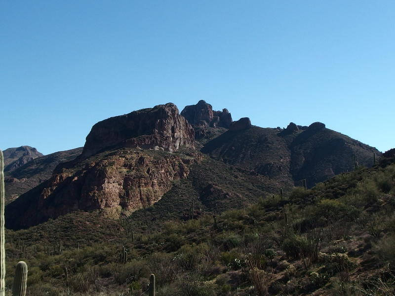
Along the line of Buzzard's Roost
Behind me the ridge of Buzzard's Roost began to rise up. Yeah, those rocky sections that had seemed so tall were already shrinking, and the meager elevation I was gaining put me level with the lower parts. The main peak was beginning to grow, though. Once I reached the saddle that separates Barkley and Coffee it really showed off.
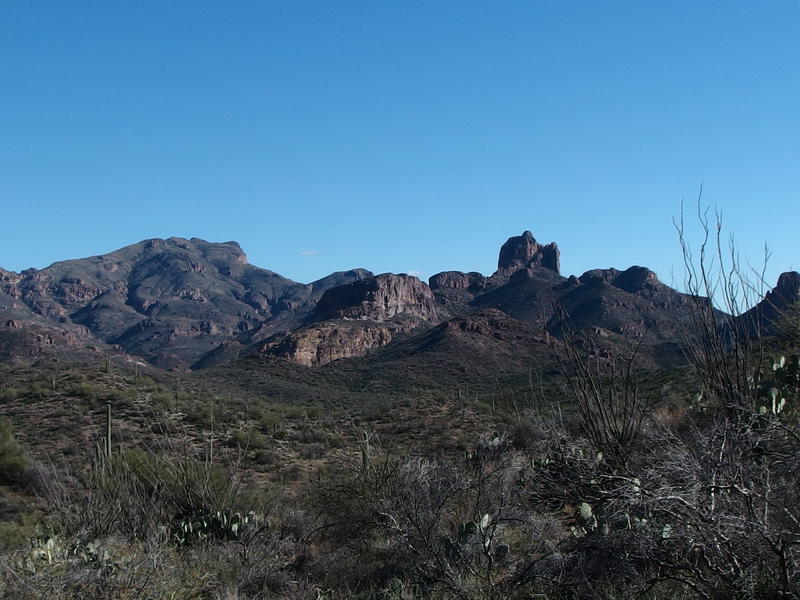
Ridiculous view of Buzzard's Roost
That peak on the southern side didn't even seem real. It stuck up like a needle above the rest of the ridge, alone and stubborn against the hills around it. I mean, it's a good thousand feet lower than the line of hills that hemmed in the south side of Fraser Canyon, the ones that Whetstone and other creeks flow from, yet it seemed strangely prominent and more impressive then them. I'm going to have to find a way to climb Buzzard's Roost. It's not quite as crazy as scaling Weaver's Needle, which requires climbing gear, though it could be close. One day.
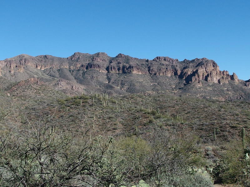
The imposing south face of Coffee Flat Mountain
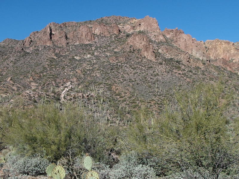
Nearby cliffs and ridges of Whiskey Spring Mountain
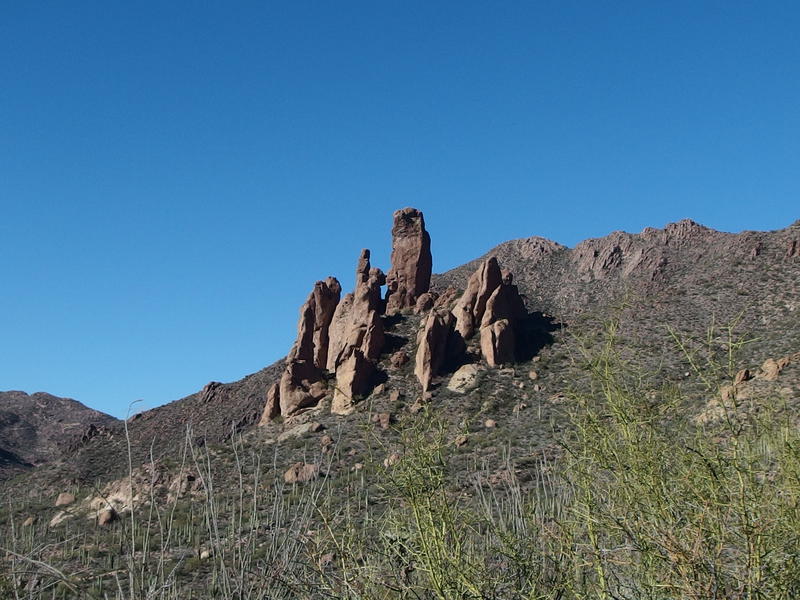
Overlarge hoodoos near the saddle
There was plenty of other things to check out from this saddle. To the north and east was a long line of cliffs that make up the shoulder of Coffee Flat Mountain. The trail up Red Tanks, way back where I had passed by Dripping Springs, had been on the far side of that line. Huh, I had covered a lot of distance today. Directly to the north was the closer rises of Whiskey Spring Mountain (technically just another part of the bulk of Coffee Flat), which is much more accessible, being a short hop away from Miner's Summit. And to the left of that was an odd formation of huge hoodoos, looking almost like an upside down spider, that will now make me think of sentries guarding this saddle and the lands beyond.
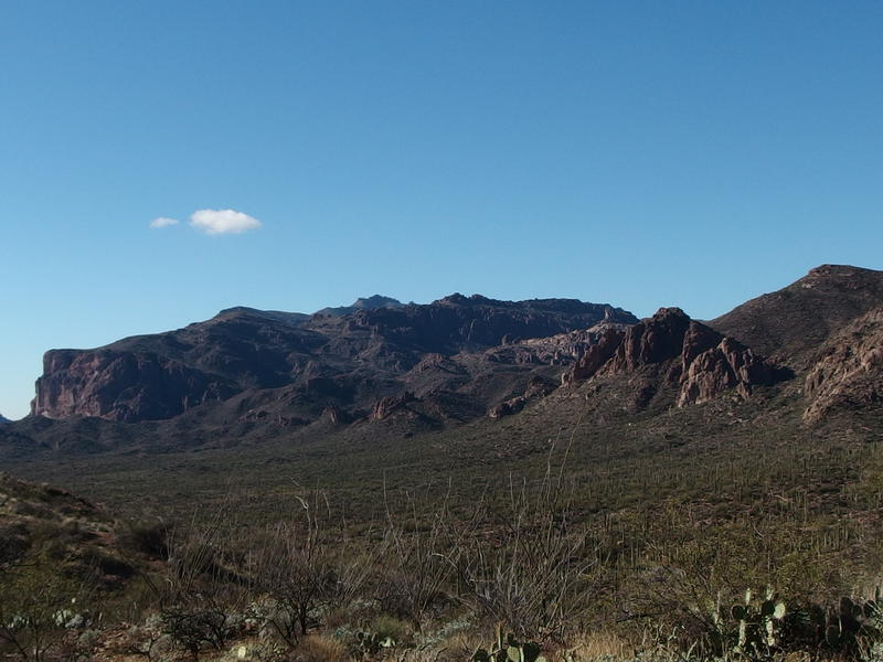
A welcome view of Dacite Cliffs and above
Of course, to the west was Dacite Cliffs and rugged rises above where Robber's Roost sits. That's where all this started, back at Peralta Trailhead, and it was time to return. I packed my camera away and followed the trail down, winding over the slope and bucking up and down a few washes, until I was back on Dutchman Trail and on familiar ground again.
As I cruised down Dutchman, doing my best to eat up the last three miles in under an hour, I wondered if things could have gone better. Like, yesterday had been pretty rough. My gear was soaked, I missed my planned destination by hours, and now I was running on my last energy reserves. If there hadn't been a backup plan to camp at/near Tortilla Pass I could have been stuck hiking this evening in the dark. And, much worse, if this was part of a longer trip I would have some serious catchup to do.
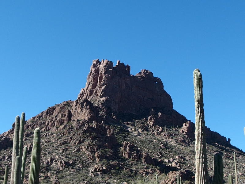
Looking up at Miner's Needle
I guess this is why people build in rest days. This afternoon would have been a perfect rest period. I could have stopped back near Reed's Water, setup my gear to dry in Coffee Flat, kick up my legs and (hopefully) pump water and eat that missed dinner and relax. That would have reset me, both mentally and physically, to put in a twenty-plus mile the next day and make up the missed distance. If this was a longer trip, that is. For today all I had to do was return to Katie and the boys and let my gear dry out in the garage.
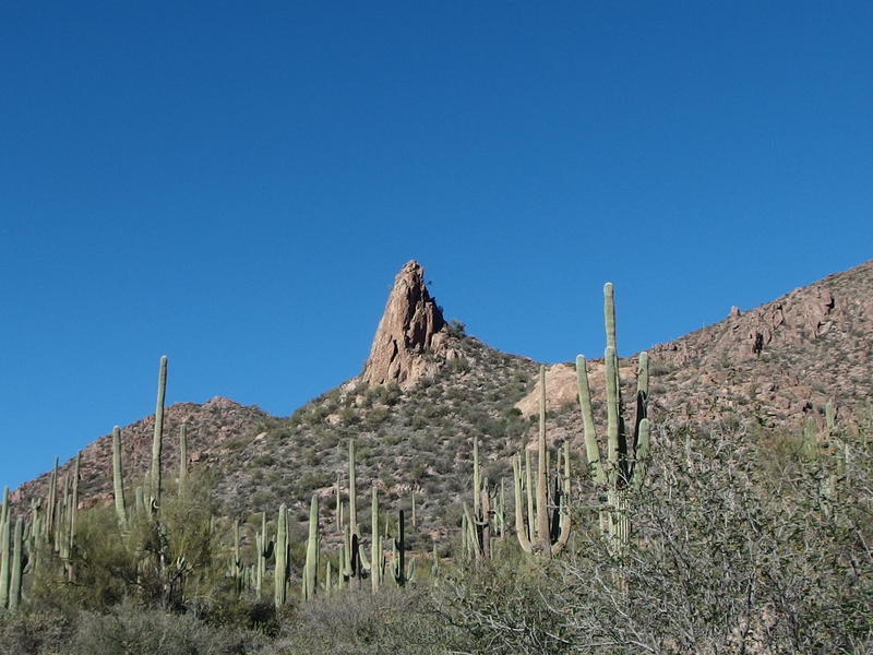
One of the lonely, single spires
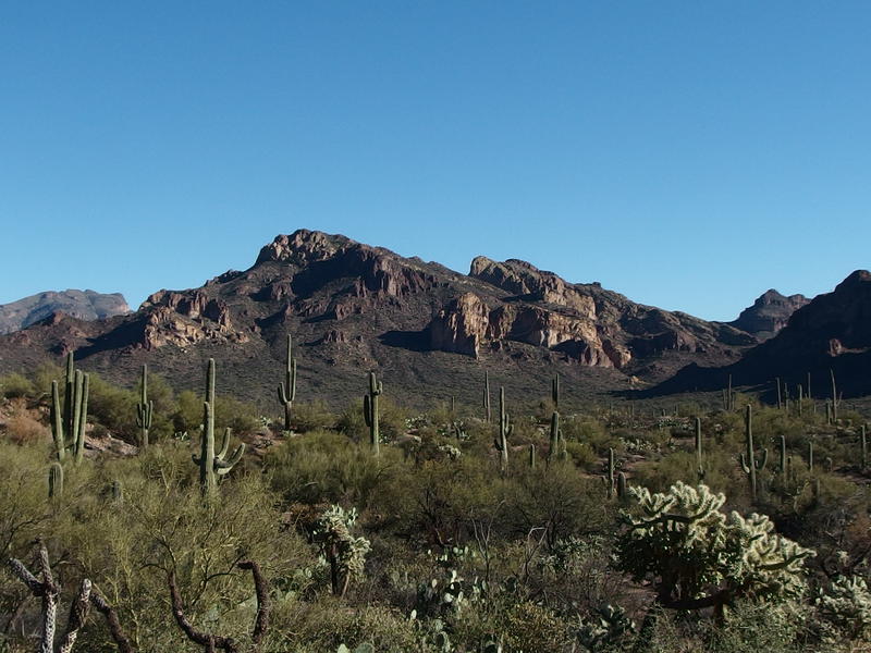
Last look across Barkley Basin
Barkley Basin finally ended as I climbed up the annoying hills on the far west side, the ones that block off the parking lot from this little valley, and I got my first taste of people again. The last contact I had was way back on Friday, those two older men back at Marsh Valley, and there had been no voices or faces to deal with for over forty hours. And the first people I ran into was a couple bickering about money as they hauled their (very frightened and unfit dog) down the rocky trail. I gave them a polite nod as I passed, hoped that my stinky gear would offend them, and headed down to the van.
Forty miles and 7500' of elevation change over two and a half days. Not bad. Fairly comparable to a rim-to-rim-to-rim backpack on the Grand Canyon, though those trails are much nicer. I learned more about my gear and what I was (and wasn't) prepared for, as well as got to experience a good chunk of the Superstition Wilderness. All that was great to think about it, though all I cared about as I bounced down the bumpy road back was a hot shower and cold glass of water. And maybe getting tackled by my sons as I stepped in the door - that, that sounded like a perfect way to end the weekend.


Comments (0)