Quick Visit to Massacre Grounds
One of the central locations to the Lost Dutchman story is a small sloped piece of land called Massacre Grounds, within a few miles of Siphon Draw and First Water. According to legend there was a bloody massacre of Mexicans on these slopes during the 1840s that is tied to Peralta mining deeper in the Superstitions. I'm hesitant to claim any of this is fact, as I've read enough rumors to question just about any piece of the Lost Dutchman/Peralta story, but it still makes for an interesting location to visit. So I decided to take my parents to Massacre Grounds.
My parents live in Washington (they just moved there a few years ago) and were visiting for a long weekend. Every time they visit I try to take them on a hike or two - depending on the temperatures and time of year - and try to bring Noah along. We've been to Hidden Valley on South Mountain, Garden Valley in the Superstitions, and the Goldmine Loop in San Tan. The Superstitions are of particular interest to them, as they've been watching a show on the History Channel about the Lost Dutchman Gold, so Massacre Grounds made a lot of sense. Plus it's a short enough hike for Noah to cover most of the distance without being carried.
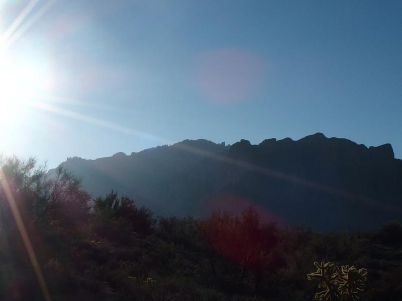
Bright sun shining over Superstition Ridgeline
We parked at a small pull-out for Jacob's Crosscut Trail a short distance down Service Road 78 and filtered through a small gap in the rusty fence. I wore the carrier for Noah on my back, as I wasn't sure if he'd last the entire hike, but was starting him on foot. The trail was immediately too tough for him to handle walking, a steep little hill rising up yards from our parking area, so he simple tackled it on all fours and continued on. A little hill wasn't going to slow down Noah this morning.

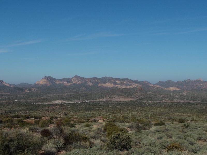
Four Peaks and Little Four Peaks in the distance
The views were impressive from the start. The skies were a clear, deep blue and visibility was far. Four Peaks (and Little Four Peaks in the foreground) commanded the northeast horizon as it usually does. Southeast was a bit less interesting, with the sun washing out things and a nearby unnamed ridge hiding any of the good stuff over there (like Weaver's Needle). If we got far enough beyond Massacre Grounds things could open up, though I wasn't sure if my parents or Noah would be interested in doing a full five-plus mile loop today for a different view.
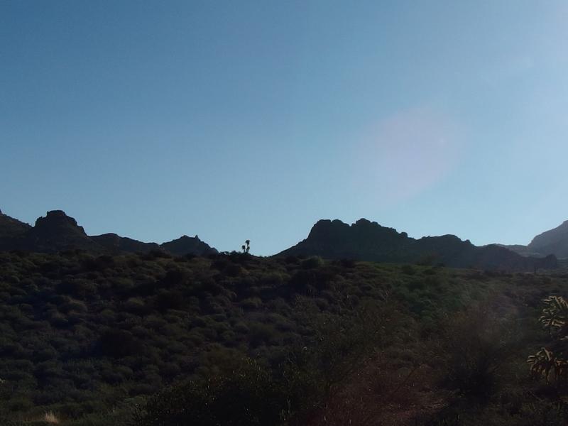
A rugged ridge to the east
As we walked we chatted, taking turns on who kept an eye on Noah. For the most part I caught up with my mom, chatting about Noah and how well his balance was (he really does great on the rocky trails), and my dad hung back with the kid. I also told a version of the massacre itself, about the soldiers who found the remains, and how a line of bodies and equipment led back to a camp at Marsh Valley. My story had holes in it, just like every version I've heard.
One thing I still don't get is what happened to the remains. Rumor has it that there were over twenty skeletons out here, more bodies leading back to Marsh Valley, but there is little mention of what was done with the remains. Only two soldiers reported the sight - did they bury all of it? If their regiment came back later to clean things up, why isn't there more than just two reports? Could desert vermin have scattered things so much over the years that no other people saw anything? I mean, I could have missed a core piece of the story, it just seems a bit odd to me.
The trail climbed slowly, at times along an old Jeep trail and others on a more narrow path, yet never got as steep or difficult as the first hill from the parking area. Noah held his own until we began to dip in and out of washes that were just too steep for his little legs. This wasn't an official maintained trail with smooth grades - this was an old footpath that led up to a historic (and unrecognized) location. After a few good stumbles I finally plopped Noah into the carrier and us three adults headed on at a faster clip.

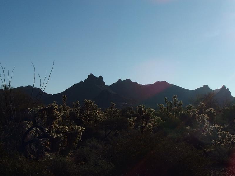
Tall cliffs on Superstition Ridgeline
Profile of a cholla on the horizon
I really do like hiking with Noah. It's great to see him wander in the desert, slowly gaining more confidence on each of our hikes, and watching his reaction to birds and bunnies along the way. He just walks so slow compared to my usually 3+ mph pace. Putting him in the carrier is a chance to eat up some serious ground.
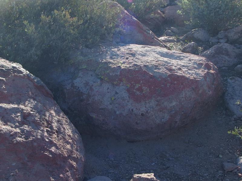
Odd red coloring on the rocks
My mom and I noticed something weird about the rocks along our path. They had a dull red hue. It wasn't iron or some other mineral, as different rocks all had the same hue, yet it seemed too widespread to be marked for the path. Did someone come up here with buckets and buckets of red paint to commemorate this area? That seemed overly grisly. My dad pointed out that it could be the remains of a fire-resistant powder, if this area ever got grown enough to worry about wildfires, which seemed plausible.

Four Peaks beyond the boulder
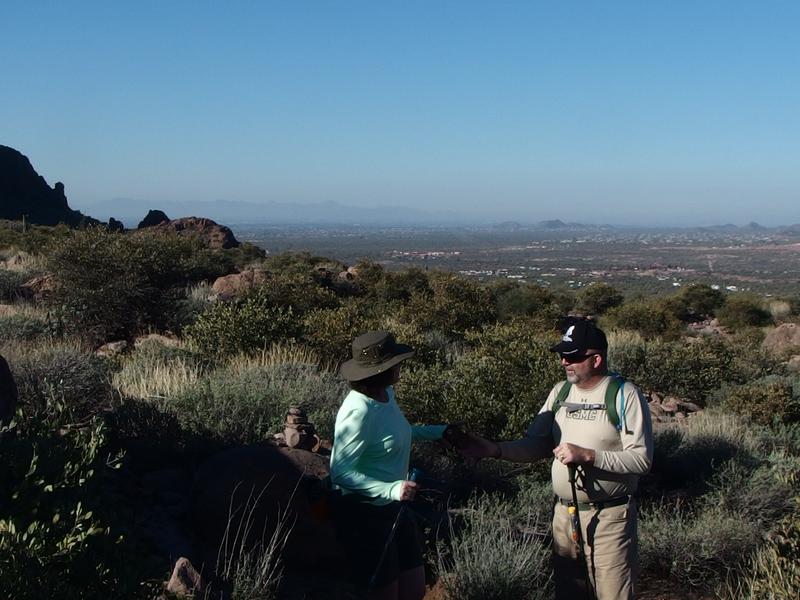
Parents discussing the route
When we reached the first big boulder on the trail we stopped for a quick chat. My parents were about ready to turn around and Noah was getting antsy already, so returning back to the easier path seemed like a good idea. There are two markers for the actual Massacre Grounds, a lopped-off saguaro and 'Massacre Boulder', and I wasn't sure if this boulder was the right one or not (it wasn't). I convinced them to continue on for a few more minutes to the hacked saguaro ahead.
Again, variations to the story make it hard to know for sure, but the lopped saguaro could be left from the original soldiers who found the massacre site (150 years isn't too far of a stretch for cactus to stick around) or a later visitor just marking the spot. Either way, it was visible from a distance and looked to be ancient. Grey scabs reached down around the old wound and branches reached around as the cactus attempted to continue growing for decades after the initial injury. There was no path to the cactus, so we just cut cross-country to the base to take our pictures. Then it was time to turn around.

Old wound on the saguaro
The way back was uneventful. After twenty minutes of downhill walking we let Noah back out of the carrier. The path was wide and smooth enough for him to traverse with only the occasional hand. When we got closer to the parking area he began to slow down, tiring under the warming sun, and we took a few short breaks to drink some water. People began to slowly show up too. There was a group taking photos near the junction with Crosscut Trail and a small group heading up the way we came. By the time we reached our vehicles the parking area was close to full.
Bright band of rock on the Goldfields
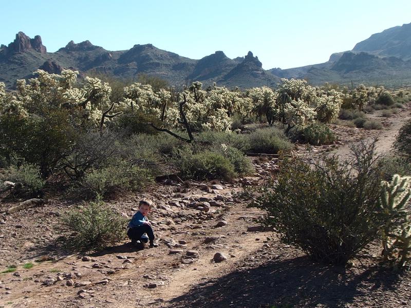
Noah taking a break along the trail
So is there anything to Massacre Grounds? I'm still not sure. After Chris and I found the petroglyphs on Black Top Mesa I've gotten a lot more skeptical about all the rumors of gold in the Superstitions. There are precious few hard facts about it all, many more stories passed down and places that could be reinterpreted. We found a few boulders, red rocks, and a lopped-off saguaro, all of which could mean just about anything. We didn't find skeletons or piles of gold or anything. Well, not on this trip. At least we had a good story to think about as we hiked in the desert.


Comments (0)