Mound Mountain - Highpoint of the Superstitions
Frost sparkled evilly on the tent's rainfly under the dim light of my headlamp. Against my will my teeth began to chatter ferociously and I shuffled in place in a vain attempt to warm up. It was terribly cold this morning in the eastern Superstitions, much colder than either Chris or I expected, and neither one of us were too excited about hiking in the predawn. But it was either that or shivering in our tents, so we were up and slowly getting ready to head towards Reavis Ranch.
We had spent last night about a mile past Reavis Saddle. This wasn't nearly as far as we wanted to go - the plan was to spend the night at the ranch itself - but the long drive and trail left us hiking past sunset as it was. It is a very rough drive from the 60 to Roger's Trough Trailhead, sixteen miles over loose gravel, through washes, and up solid rock outcroppings. Chris had a lot of fun on this road in his new Subaru while I had flashbacks of the old AAA west of Yellow Dog Plains in Michigan. It took us over an hour to cover those sixteen miles.
The trail wasn't nearly as bad as the drive, though it had its moments. The first mile and a half is a 500' drop down a brushy Roger's Canyon with Iron Mountain looming to the east. Once past Iron Mountain the trail forks, with the main branch continuing northwest down the canyon and our route splitting northeast up an unnamed tributary. It passes the grave of Elisha Reavis himself before zipping up a series of switchbacks and climbing 900'. Then it just follows the headwaters of Reavis Creek north towards the ranch and beyond.
All in all it took us well over two hours to walk the five miles from the trailhead before we gave in and set up camp. It wasn't a bad place to camp, near a (very dry) creek with a firepit and enough room for two tents, it just wasn't as far as we had hoped. By the time we reached this spot the sky was dimming, stomachs were growling, and we were both beginning to shiver. Which was unexpected. The forecasted lows for the weekend were in the 50s, meaning that it shouldn't dip below 60 during the sunset, yet it felt much cooler. Maybe the 5000' elevation level we were at was messing with the forecast temperatures.
Anyways, back to today's hike. After a cold night and a colder morning we were hiking down Reavis Ranch Trail in the predawn. There were thorny plants to fight with and icy brush that leaned far over our path. We talked in tremulous phrases, mostly curses about the temperatures, breaking the silence of the trail in attempts to pause the chattering of our teeth. It wasn't until we broke through onto the first grassy plain and got a good view of the starry sky above that I was happy about our early start.
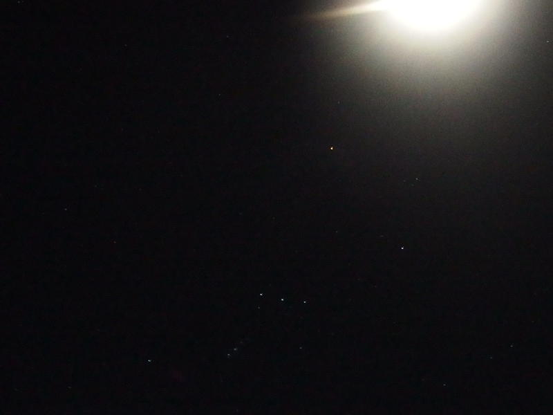
Orion's Belt under a bright moon
The grassy plain was a welcome view. I had heard about this area, this long swath of lovegrass. It's an invasive species that was planted after a fire to stop erosion. While it did stop erosion it's too stubborn to give up to natural vegetation, so here it stays some sixty years after the original fire.
It was at the second plain that we wandered off the trail. It had been difficult to make out in the thick grass, so when some animal tracks packed down a section we followed a false line to the right. Ten minutes into it and we knew we were lost, thrashing around in a brushy grove next to Reavis Creek. I pulled out my GPS and we headed uphill a hundred yards and found it again. While I try not to use the GPS that often, especially when a well-defined trail is right under our feet, it does come in handy.
A mile later and we were at our first trail junction of the day. Fireline Trail cuts east from Reavis Ranch and connects with Campaign Creek, a whole other area that I'm looking forward to exploring some day. We turned with Fireline and were immediately faced with a harsh climb up loose, ankle-rolling rocks. Our first climb of the day and it didn't feel good. Under a waking sky we staggered uphill and finally got our first good view of the mountains around us.
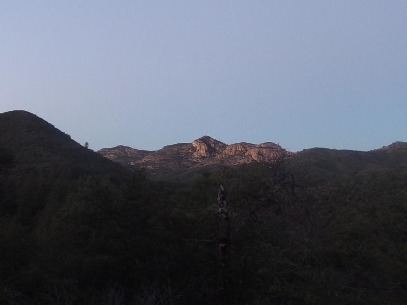
Dim morning light on a distant white mountain
See, today's hike wasn't about Reavis Ranch, even though that's the trail we were on and we would be passing within a half mile of it. That spot can wait for a future visit. Today's hike was about Mound Mountain, the highest point in the Superstitions. It sits east of Reavis Valley and, while some hikers tackle it in a single day, we were turning it into an overnight. The drive from Phoenix itself is several hours and the hike close to twenty miles. This is why the first view of the surrounding mountains was so appealing. While Mound Mountain itself wasn't visible from this spot I still wanted to get an idea of what we'd be seeing from that peak.
Once we got our breathing under control from the first climb we continued along Fireline. This trail follows Whiskey Spring up and over a pass before dropping down to Campaign Creek. It was that pass that we were aiming for now, with an elevation of 5500', which would give us a good start on the next climb.
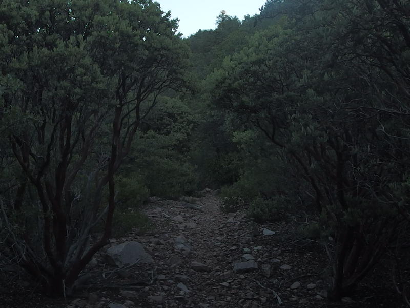
Dark overgrowth crowded along Fireline Trail
The trail was a fun one, little climbs and occasional dips along the creek itself, but it was the vegetation that really stole the show. We were within fifty miles of Phoenix as the bird flies, within fifty miles of the typical desert and rock and sand that I (negatively) associate with Arizona, yet everything here was so green. Pine trees grew tall all around, manzanitas clustered thick around the trail, and other shrubs and trees clung onto solid rock with claw-like roots. It wasn't like there was a ton of water here. There had been a meager flow down Reavis Creek before we cut off it and nothing visible here. The elevation difference must play a larger role, a more comfortable climate than the valley heat below. Whatever it was, it was a most welcome departure from the usual prickly Superstition growth.
It wasn't until we left Whiskey Spring for good and tackled the last long, slow climb to the saddle that the sun finally hit us. Some of the hills around us had light on them, and the temperature had been slowly rising, but it was sunlight that we were striving for. It felt so darn good. It was still chilly, sure, and neither of us had brought proper clothes, but the sunlight would help. We reached the pass, found our turn-off, and sat on sunny rocks and basked in the meager heat.
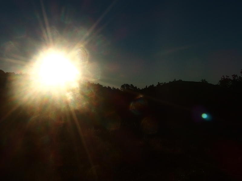
First view of the warming morning sun
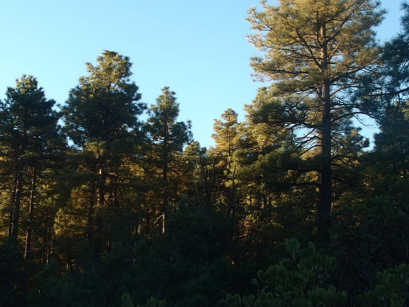
Tall pines reaching up into the blue sky
As we rested at the pass we pulled out little snacks and made breakfast. It had been a busy morning. In two hours we had hiked four miles and climbed 800'. Well, the elevation wasn't that impressive, but the cold temperatures had taken a lot of both of us. Granola bars, fruit leather, and Clif bars made for an easy, if basic, meal. Neither one of us had been willing to haul along our stoves on this hike so there was no coffee to share, something that would have been most welcome right now, especially with the steep climb facing us.
To reach the top of Mound Mountain we would have to first climb up to Circlestone, an ancient ruin that was less than a mile from the pass and 500' above. A little saddle sits between Circlestone and Mound Mountain which exaggerates the 300' climb to the high point itself. There is a trail to Circlestone but nothing to Mound Mountain. So, maybe another mile to go and all and most of it was on a trail. This can't be that hard, can it?
One thing I learned as we started up towards Circlestone is that we hadn't left desert growth behind. Sure, there are a lot of pines and pleasant green plants around this area, but there is also the prickly nasty stuff that can turn an otherwise easy hike into something messy. Agave and yucca sat on the path, sharp-tipped leaves with barbed edges reaching out to cut shins, and a few chollas and prickly pears forced painful detours. The desert growth combined with a loose, rocky path to make the climb to Circlestone an annoying haul.
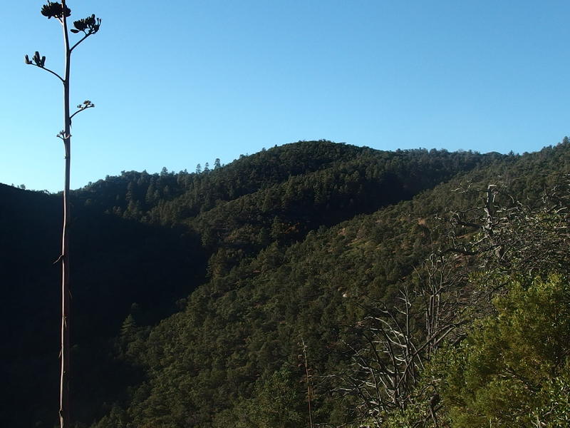
Hills and ridges covered in green pines
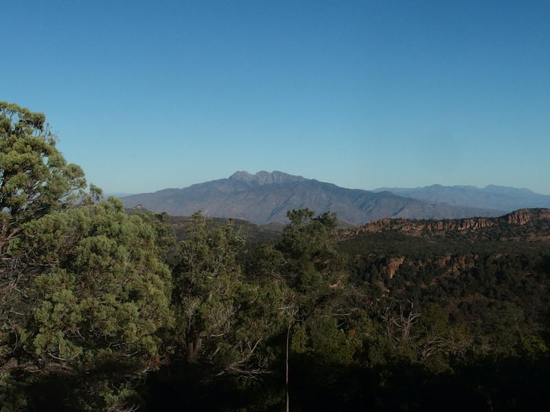
First view of the backside of Four Peaks
At least the views continued to open up. Behind us more and more of Reavis Valley opened up, wonderfully green rolling between harsh rocky mountains, and beyond that Four Peaks and more of the Mazatzal Range rose up. I didn't know enough of that range to pinpoint exact peaks, though one day soon Chris and I would have to wander out there to tackle that 7900' highpoint. Today's peak was hidden behind green hills for a while, though as soon as we ascended the last rise it finally showed up in a humbling, sharp mound.
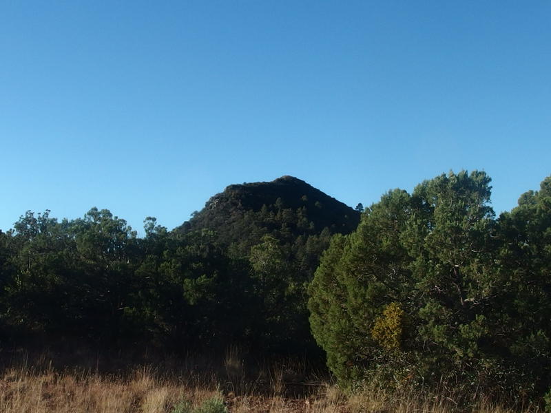
First view of Mound Mountain from Circlestone
Mound Mountain is shaped like the back of a prehistoric beast, with a sharp backbone of solid rock rising up out from the hills and flanks of catclaw cascading down both sides. We could make out the spiny, thick growth already. If there wasn't a trail to the peak this was going to be a bloody venture. There had to be a trail - I mean, this is the tallest point in the Superstitions and hundreds (if not thousands) have bagged it.
For now we focused on what was nearby: Circlestone. This interesting structure dates some 800 years back and is a walled circle some 130 feet in diameter. There are a few interior structures, though given the location it seems likely that it this was a ceremonial building and not anything permanent. It does line up with a few astronomical events, including a sunset over Tortilla Mountain and the Phoenix valley beyond. We carefully stepped over a section of fallen wall and made our way through the ancient remains, all the while keeping our main goal for the day in sight.
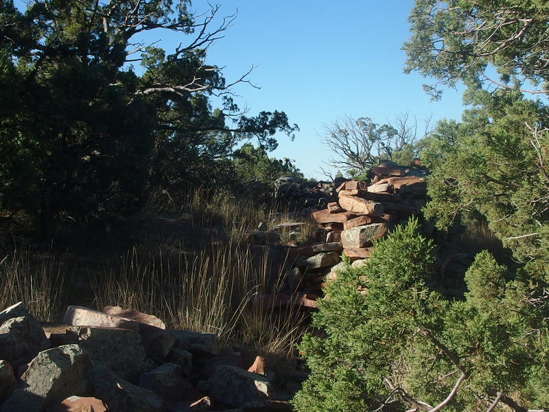
Old rock walls along Circlestone
Dim moon overhead in a blue-blue sky
A few yards after we stepped out of the ruins our trail disappeared. Perfect. We followed the remains of an old barbed fence down into the valley, fighting the brush as it came, and then twisted to the right to keep on the narrow saddle. There were numerous paths on the north and west side of the saddle, little footpaths that dug their way into pine-needle covered slopes, but I didn't get my hopes up. Cattle grazed here in the recent past and we were probably just following their paths. And cattle wouldn't have much reason to make a path to the top of Mound Mountain.
Too soon we reached the base of our final climb. A few hundred feet lay between us and the peak. Needles covered loose rock for the first half, promising a dangerous scramble, and beyond that was a wall of catclaw. No trail was in sight. I took a deep draw of water and tackled the climb, digging and scratching and swinging from one tree to the next, and Chris followed a few dozen yards to the right. We had learned the hard way not to be directly behind each other on loose climbs like this.
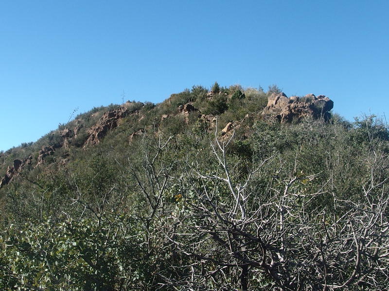
Last fight to the peak of the mountain
Catclaw is one of the worst things I've encountered in a bushwhack. Tag alders are annoying, especially when there is stagnant water hiding below, and clumps of cactus can cause lengthy detours. Catclaw is the worst of all worlds. It grows too thick and tangled to allow passage, often makes a solid wall without workarounds, and is terribly prickly. Not as prickly as a rose bush or even raspberries, just enough to occasionally break the skin. Chris and I fought through the stuff, cursing back and forth, and by the time we broke through to the rocky backbone we had several respectable gashes.
Once on the backbone it got easier. Well, the catclaw wasn't as thick, at least. We still had to deal with crumbling rocks and semi-serious rock climbing. It reminded me of clambering Battleship Mountain, only without the sheer 800' cliffs on both sides. Chris beat me to the peak by a few minutes (though I'll claim that I was trying to stem a deep cut on my finger that slowed my progress). And the views from the top were, well, surprising.
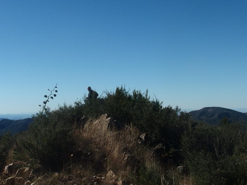
Chris sitting on the peak of Mound Mountain
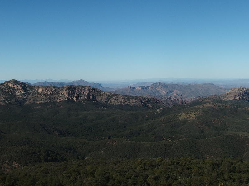
Rolling green at the head of Reavis Valley
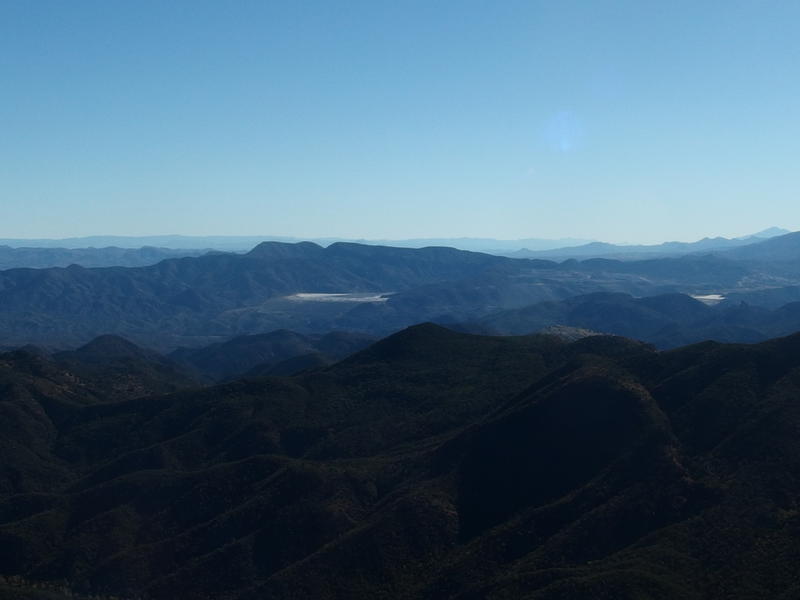
Copper mine beyond the green of Campaign Creek
Four Peaks was still visible and impressive, and with some imagination I could make out the Mogollon Rim to the east, but there was almost nothing to the west. I had hoped to see all of the typical sights of the western Superstitions - Weaver's Needle, Superstition Ridgeline, Malapais Mountain, Bluff Springs - and much of that was blocked by a large ridge at the head of Reavis Valley. That ridge is mostly White Mountain, which rises 6100', more than enough to block those shorter features. We could make out North Peak and Tortilla Mountain and everything else was hidden or unfamiliar.
Oh, and a closer sight to the east was a large open-pit copper mine outside of Superior, something that felt very intrusive so close to a wilderness area. We could make out a few carved-out layers and the large wastewater treatment area, which looked to drain right into Pinto Creek. No sound carried over, either from distance or weekend, which a minor consolation.
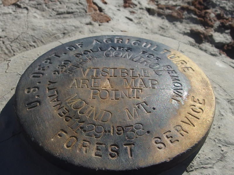
Benchmark for Mound Mountain
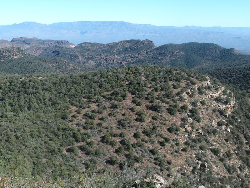
Looking back down towards Circlestone
We wasted away about a half hour at the peak, drinking up the warm sun and munching on snacks. Chris managed to get a bit of reception and made a few boastful phone calls. We were at the highest point in the Superstitions, a good 6266' up, something worth bragging about. Cell reception was surprising to see - it's hard to get a bar anywhere in this wilderness, especially ten-plus miles from a remote trailhead - but we did have unblocked views of both Phoenix and Superior so something could easily float our way. Eventually it was time to start back down. I half-seriously brought up that we could just head west down the mountain and cut out three miles of backtracking, though with the type of vegetation we'd be bushwhacking through this idea was quickly shot down.
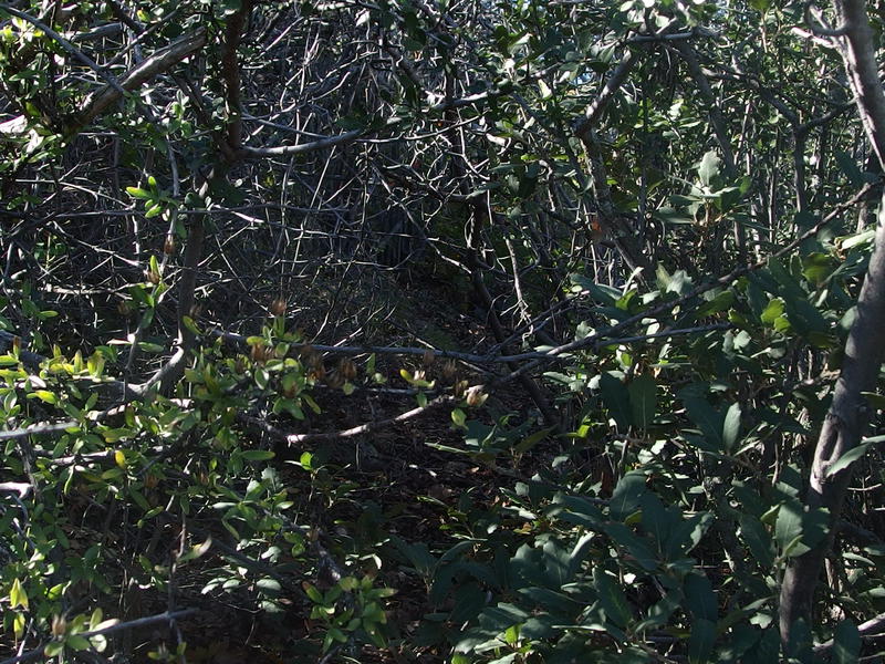
Tough brush on the slopes of Mound Mountain
Heading down through the catclaw was about as fun as the climb up had been, and we were much less efficient in the saddle this time. Chris had seen what looked like a trail connecting Circlestone and the mountain but we weren't able to find anything once we were down there. We did cut out a bit of distance by skipping the ruins and cutting a line over to the path.
It was on the way down the use trail, about halfway to the pass where we had first seen sunlight so many hours ago, when we first bumped into other hikers. A pair was on their way up to Circlestone after spending last night at Reavis Ranch. We chatted for a bit before letting them on their way - they knew a lot of cool information about the ruins (which is what I shared above). There was one other solo hiker that we bumped into later on the Fireline Trail, a serious-looking man who was going aiming to bag Circlestone as a day hike, and then we were on our own again.
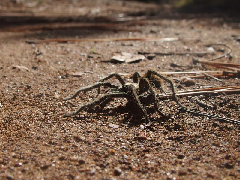
A little tarantula on the trail back
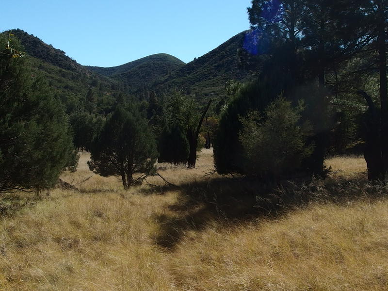
Steep green hills around the grassy clearings
The rest of the hike was just a backtrack. Chris filtered some water at Reavis Creek and we found a little tarantula near the lovegrass clearings. It was after 1:30 by the time we returned to camp. Our legs were begging for a good break. I made up some oatmeal and coffee while Chris made breakfast burritos. An odd lunch, sure, but it gave us the excuse to sit and boil water. Then it was time to pack up and start heading out.
There are a few better ways to tackle Mound Mountain. It can easily be done in one day, starting from Roger's Trough or Campaign Trailhead, and could be a nice loop if planned out right. I do wish we had done Roger's Canyon -> Fireline -> Mound Mountain -> Campaign -> Pinto, which makes a good twenty-mile day. Backpacking was fine, though hauling twenty additional pounds of gear eats up a lot of energy. What was nice about this approach was how much we learned about the Reavis area. There is definitely water up here (a rarity in the Superstitions), plenty of campsites, surprising amount of normal vegetation, and the temperatures are much colder than the surrounding desert areas. These learnings are good to have, as Chris and I will definitely be returning to this valley on future adventures.


-
Jacob P Emerick
Jul 12, '18
Great to hear! You'll really enjoy Circlestone, it's a cool site.
Add to this discussion