Moonrise Visit to Miner's Needle
Since moving to Arizona my hikes have taken on a predictable pattern: start in the early morning (sometimes in the predawn), hike until mid-day, and then escape back to civilization before it gets too hot. It's how one rolls when the afternoon temperatures soar into the triple digits and there is no water on the trail. Chris and I set off one day in the hopes to break this pattern. We were going to hit the trail after work, hike until sunset, and then return after dark. We were going to do it all wrong.
There was a reason for this mad idea. An epic full moon was over Phoenix, what is often called a Strawberry Moon (or, more appropriately, a Hot Moon), and we wanted to catch it in action. I did a bit of research and came up with the perfect plan. If we hiked to Miner's Needle, a mere four miles from the Peralta Trailhead, we could watch the sunset over Weaver's Needle and then turn around and watch the moonrise an hour later over Coffee Flat. All we had to do was brave the 100°-plus temperatures for a few hours.
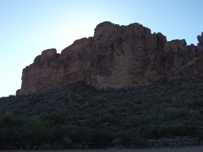
Shade falling down Dacite Cliffs
It was after five by the time we parked at the trailhead. There were no other cars. There was always cars at Peralta, being one of the more used access points for day-hikers and backpackers alike, yet today there were no other cars. Apparently other people take the high temperatures more seriously than us. Shrugging it off we finished off some bottles of water and started headed east along the Lost Dutchman Trail.
I was familiar with this route, having taken it on my exit from Bluff Springs Mountain some months ago. From the parking lot the trail climbs and plays around on a few low hills before sinking down into Barkley Basin. Then it's just boring hiking for almost three miles. The trail crosses a few deep washes along the way, little dips and climbs to break things up, but for the most part is just flat. Not quite as exciting as heading north up the highlands.
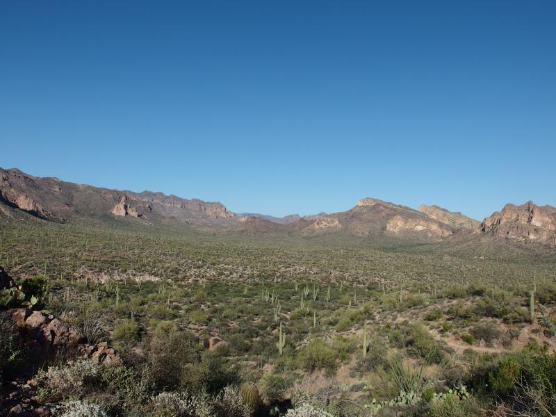
The long and boring Barkley Basin
Along the way I pointed out the few features I knew the name of. There was Miner's Needle, the odd hills around Barks Canyon, Signpost Mountain, and Coffee Flat Mountain. There was a lot more that are either unnamed or I just didn't know about. We looked at the saguaros and ocotillos and other spikey plants as we talked and walked our way on the trail. With the hot sun on our back and a slight breeze it wasn't the worst way to spend a hot afternoon.

Hot sun beating us on
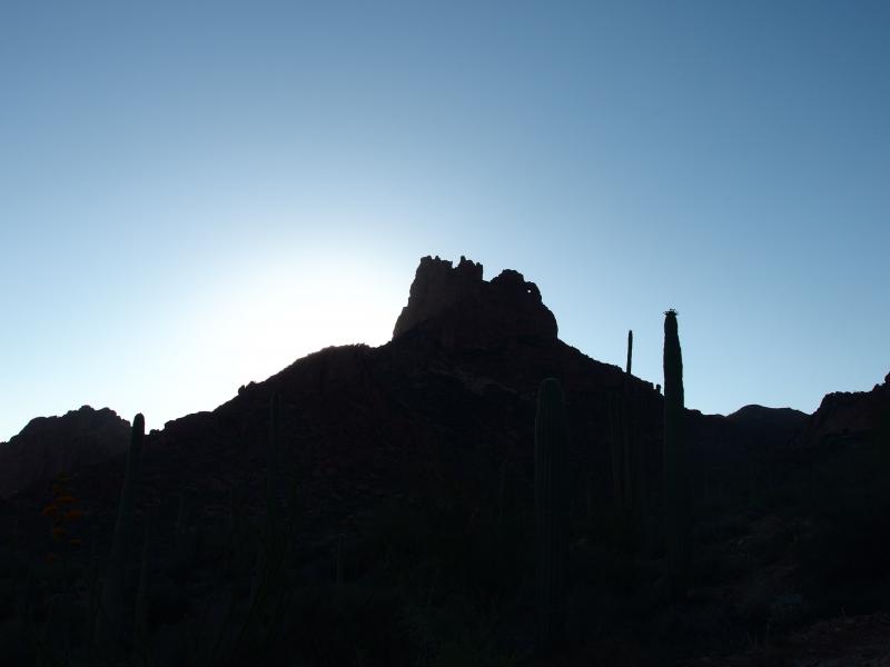
Sun hiding behind the needle
When the climb started our moods began to sour. I began to worry about the approaching sunset and our slow progress, as I do, and Chris was willing to miss it in favor of a safer hike, as he does. From my last venture here I didn't want to underestimate how tough the climb up Miner's Needle is. Close to 1000' of elevation waited for us, about half of it off-trail, and it was hot enough to make one sweat just standing still. We ventured up the winding trail as the shadows grew dangerously long.
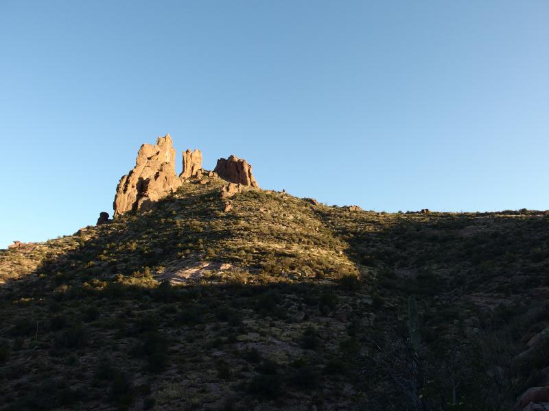
Up the backside of Miners Needle
The last big bend finally arrived and I pointed out a few possible routes up the last leg. We basically had to double back and head south up a long, sloping saddle to the top of the needle. Chris and I tackled it differently, with me heading straight up to the saddle before cutting south and him cutting a more direct route. My route did end up being easier, with more open sections and less brush, though I still had a few bleeding cuts on my shin by the time I reached the top.
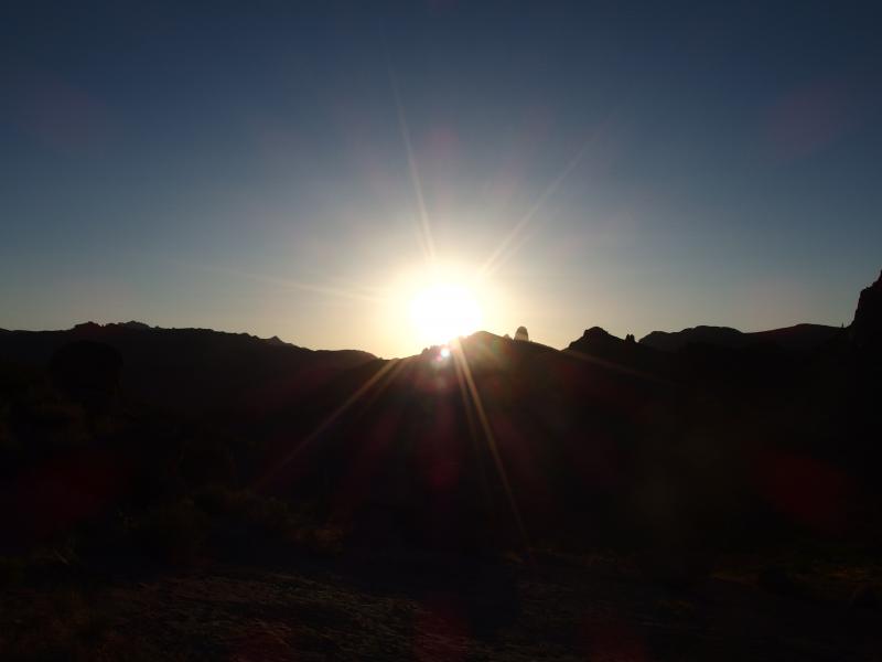
Quickly dropping sun
My concerns were unfounded. Both of us reached the top of the needle with about twenty minutes to spare before the sunset. I took some photos and got situated while Chris pulled out an ice-cold surprise: two Coronas. We clinked, drank a fantastic beer, and watched the sun set over Weaver's Needle.
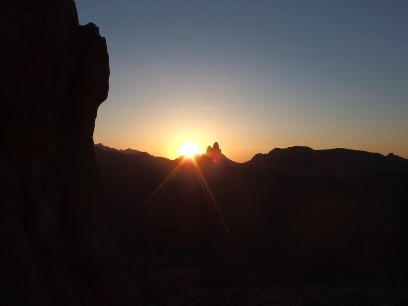
Sunset next to Weavers Needle
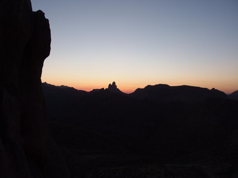
Silhouette of the Superstitions
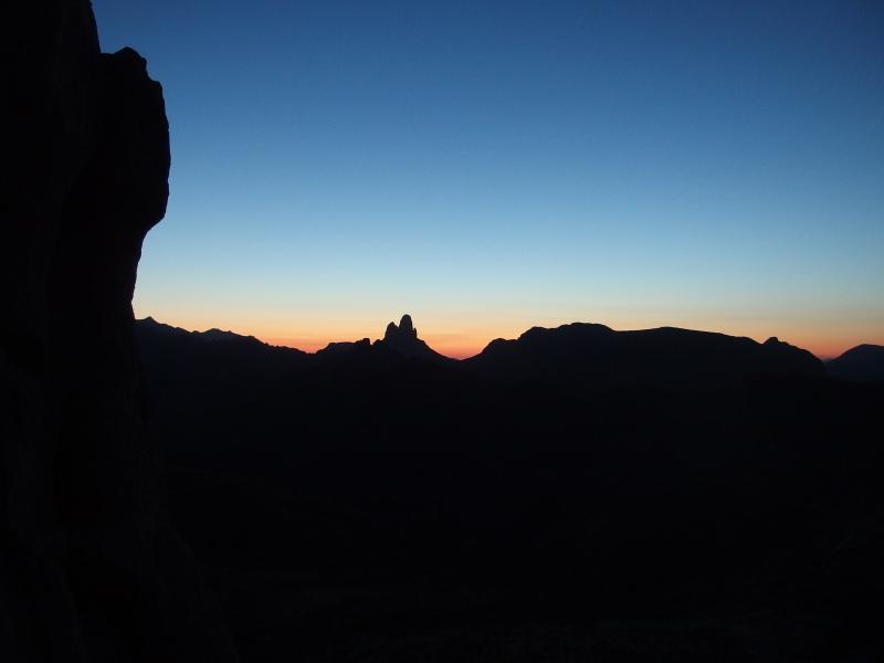
Deep colors on the horizon
The angle was perfect. From our spot the sun was just left of Weaver's and really showed off the three spires of that formation. I had hoped to see it drop behind the needle, though watching it now made me happy that we were a little offset. North Peak was slightly lit up by the amber light and Bluff Springs Mountain made for a long and low shadow to the east. Two hours after we had left the car and the last few rays winked out of existance. We munched on some bars and jerky for dinner and relaxed for a while. The moon wouldn't be up for another hour.
After exhausting a few topics and finishing our makeshift dinner it was time to pull on the headlamps and prepare for the moon. Another ten feet of climb and we could peer over the edge of Miner's Needle. It was instant disappointment. Up until now we had been in the quiet nothingness of the Superstition Wilderness, sounds of vehicles and city lights a distant memory, but as soon as we peeked over we saw rows of lights at Queen Valley. We weren't as buffered as I had hoped.
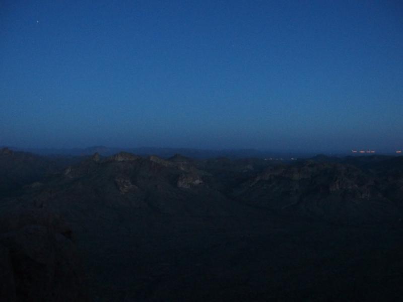
Night falls over Queen Valley
Trying to ignore the intrusion we set our sights to the east, trying to guess where the moon would show up. Chris ventured out past the edge on some ledges while I cautiously stayed back. Soon we could barely make out the horizon, let alone the different peaks or features that the moon may hide behind. The few stars and many planes that sparkled overhead gave us few hints.
Then, almost like the distant glow of a volcano, a lonely hill began to light up. It was beyond unreal. At first the mountain was a silhoutte of red then, ever so slowly, a speck of orange grew from the peak and began to detach. It was not a huge moon, nor was it terribly bright on us (yet), but the moonrise was bizarre and unearthly. We watched in awe as it unfolded before us.

Distant volcano
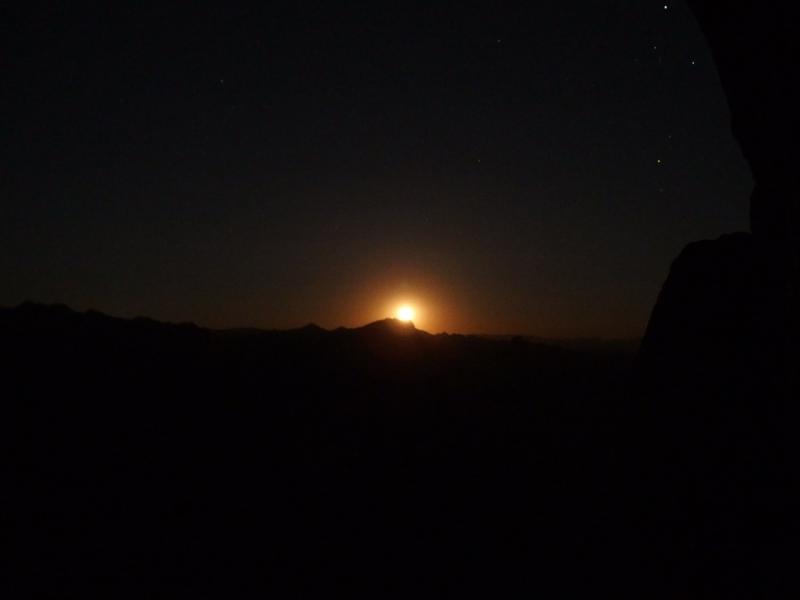
Moon slowly rising from the mountain
Finally it was time to tear away and head back to the car. With a certain amount of hesitation we began the slow and careful descent down the saddle of Miner's Needle, a walk that was soon aided by the light of the moon shining down on us, and then re-found the trail that would take us back to Barkley Basin.
Light pollution from Phoenix
Moon hiding behind Miners Needle
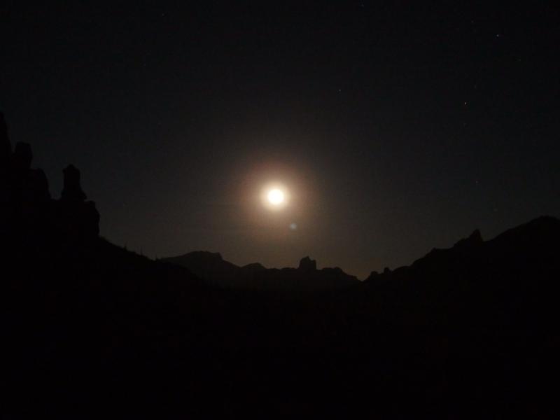
More typical full moon in the sky
Along the way Chris kept seeing different forms of wildlife, mostly spiders, and we also bumped into a few tiny scorpions, There were no rattlers, unfortunately. I was more distracted by the bright light and shadows cast by the full moon. For several sections of the trail I turned off my light. Aside from a few dark spots and the occasional ankle-rolling rock the moon was more than bright enough for easy hiking.
The walk back across the basin was long and boring, even if the new light gave us a different perspective. I regretted not convincing Chris to take the long way back along Bluff Springs trail. That way would have added a few miles or so, but at least it would have been up and down a few canyons instead of just back the same way we came. We sweated in the hot evening air and eventually made it back to the still-empty parking lot.

Moonlight on the Dacite Cliffs
Hiking in the evening was a new experience, and while it was a bit more dangerous than our predawns it was great to catch both the sunset and moonrise. I'm going to be much more aware of the surroundings on the next such outing, though. The lights and sounds of Queen Valley and Highway 60 took a good amount of fun from the experience. It's not too hard to escape the city, with even Garden Valley being more protected, and some of our future hikes including overnight backpacking.


-
Jacob Emerick
Jul 15, '15
Drummond Island? Very nice. I've heard some pretty awesome things about that place, don't know much about it tho. Is it out of site from the shoreline, so that any moonrise/set is just over the open lake?
-
nailhed
Jul 15, '15
it depends on where you are on Drummond i guess, but i've seen a pretty incredible moonrise from Marble Head, with a red moon coming up over big water next to Cockburn Island
-
Jacob Emerick
Jul 18, '15
Dang, that sounds pretty awesome. I'm planning a return trip to Michigan soon, can't wait to see Lake Superior (and maybe a few moonrises) while up there.
Add to this discussion