Moody-Coon Loop: Moody and Below the Rim
Descending down Moody Point Trail was an exercise in variety. The route quickly entered a devastated burn section, cutting wide switchbacks through a dead, gray landscape, exposed to the sun, and obvious mud damage to the tread. The trail maintenance was fantastic - thorny stuff cut back and helpful cairns - though the surroundings were dreary at best. After a mile the trees began to come back, junipers and pinyons and a few ponderosas, and the intermittent shade was a welcome addition. I remembered this area fondly from my first visit, two years ago, where the junction of Rim Trail is, and spent a few minutes at the trail sign thinking of that hot summer loop.
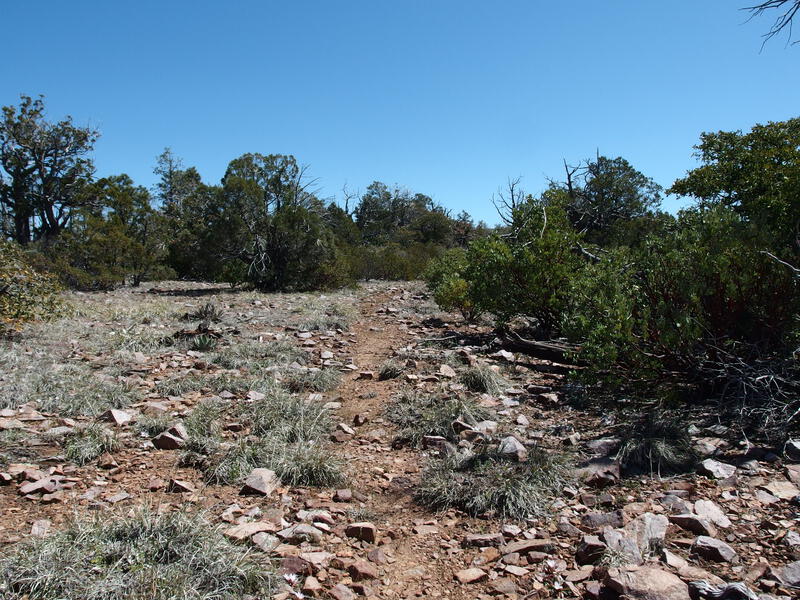
Fantastic section of trail on Moody Point
Beyond the junction the Moody Point Trail entered into some more burn area, though it was still green and pleasant to walk through, only a few confusing twists around manzanita to work around. I trotted along and debated cutting north for an off-trail adventure. There are ruins over there, some reachable from this trail, and great views. I decided not to. While this section of the trail was easy I was worried about the upcoming drop. As far as I knew, the next mile was terribly overgrown and steep, and I was not looking forward to it. As I neared the crest I braced myself, mentally preparing for a bushwhack - and instead, I was greeted with a wide, maintained trail leading down the point.
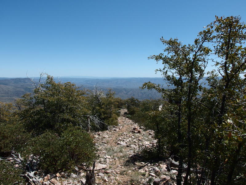
Easy cruise down the point
This was a dream. The tread was great, the bushes trimmed back, and the cairns were huge. Was I even in the same wilderness? Last month I had approached this trail from the other direction and dealt with an impenetrable wall of manzanita.
Drinking in the big views I tumbled along, grinning when I saw the creative staircase over a rock ledge, practically skipping with the lack of rolling rocks on the tread. I glanced down a few times to Cherry Creek and Leisure Canyon, which seemed like an unreal distance far below. Can totally imagine revisiting this as a challenging climb, with this nice section of trail waiting up top.
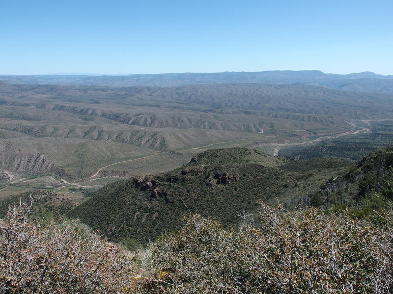
A big drop down to Leisure Canyon and Cherry Creek
The thick part of manzanita was waiting for me, where the trail maintenance stopped abruptly and I was forced to shoulder my way through brush. It was laughingly easy heading downhill and I couldn't complain. The path faded in and out after that, all familiar sights, and soon I was at the junction with Deep Creek. The scariest part of the day was over, and all I had to do was follow the relatively flat mesa trails over to Coon Creek. Seemed like a good time for second lunch.
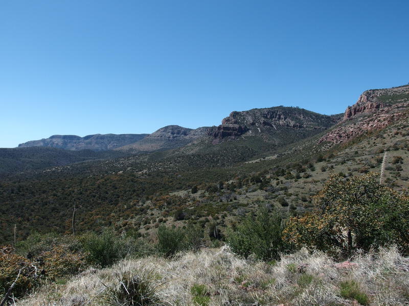
Multiple points reaching out of the Anchas
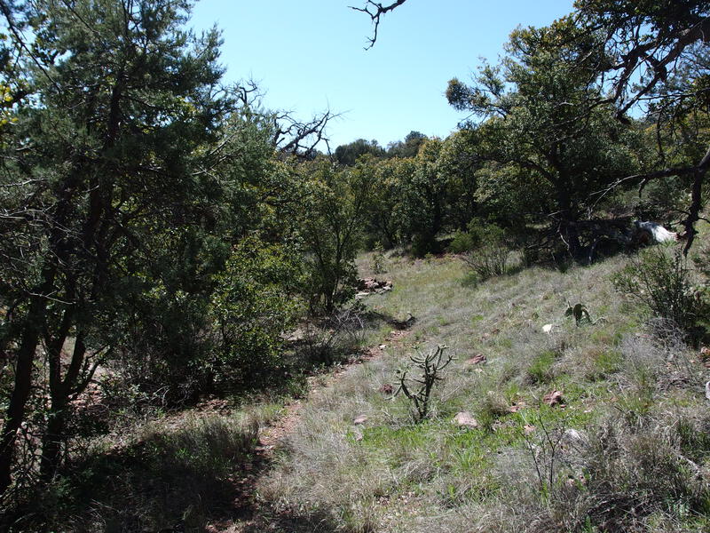
Narrow trail on Deep Creek
My understanding of these trails was basic at best. Deep Creek Trail circled around the chasm of Deep Creek, swinging around the upper tributaries, and I had heard that a decent chunk of it was an old forest road. Coon Spring Trail took over at Bull Canyon Trailhead, headed north towards the upper rim area, and then crossed a very deep Coon Creek before ending at Oak Creek Trailhead. Both had escaped the worst of the wildfires and were low enough to be surrounded by savanna-esque flora.
Thing started with a narrow single track obscured by overgrowth and disuse. A few cairns helped, especially when crossing one of the dozen or more tributaries, when the trail tended to take creative liberties on moving forward. I was initially disappointed by how dry everything was down here. Sure, I had filtered up earlier in the morning, yet the exposure on Moody Point and lack of shade on this trail was cutting into my water supply. Every wash and tributary was dry. Happily, Never Go Dry Tank was quite full, and I found the source to be clear and cool.
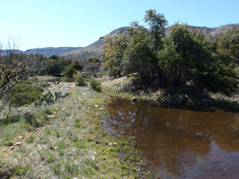
Several full tanks of water along the way
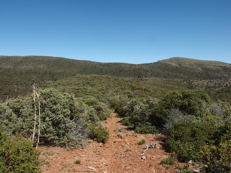
Endless hills of easy, boring hiking
The rest of the trail was forgettable. Rolling, endless hills of manzanita, harsh green surrounding the orange rock path. This must be the old road that I had read about. A breeze helped with the afternoon heat, plus an extra snack break at Bull Canyon Trailhead. Coon Spring Trail was more of the same, with only the change in direction a novelty.
It was around four in the afternoon when I started to near the drop into Coon Creek. The last few hours had dragged, and I was starting to think about my bail option. Sure, the morning had been great, and now I was hot, and all I could think about was how thorny tomorrow could be, and how poorly I usually sleep outside. Using my inReach, I asked Katie how many miles of road-walking was between Oak Creek and Parker Creek. She responded with a disheartening '20' (it's actually about 10). So yeah, no bail.
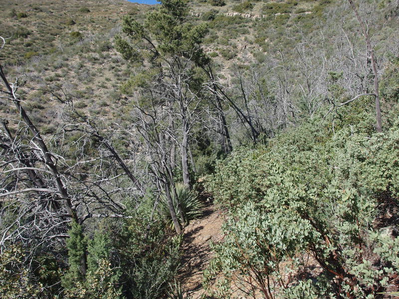
Mild overgrowth on Coon Spring Trail
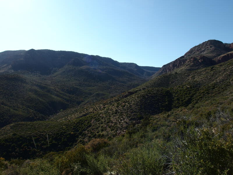
Humbling view up Coon Creek
The trail swung out on a ridge and dropped suddenly into the creek drainage, steep and disjointed, and I wandered around near the base before rediscovering a few sparse cairns. We found Coon Creek together, a delightfully busy flow bubbling over rocks, surrounded by huge trees, complete with a decent campsite on the far bank. If it wasn't for the hordes of bugs that pestered me as I filtered water I would have stopped here for the night. Instead I pulled to full capacity, drinking my fill as well, and continued on.
Getting out of Coon Creek was a puzzle. There was a trough filled by a cement spring with plenty of foot traffic, and no route that continued on. The camp also had a few paths, all of which seemed to circle back. I'm too headstrong to give up that easy, so I blazed my own way up the hill, heading in a generally western direction under the thick brush, eventually plowing right onto an obvious track. After that annoyance it was clear sailing up a side drainage with a dreamy, late afternoon sun filtering through the trees.
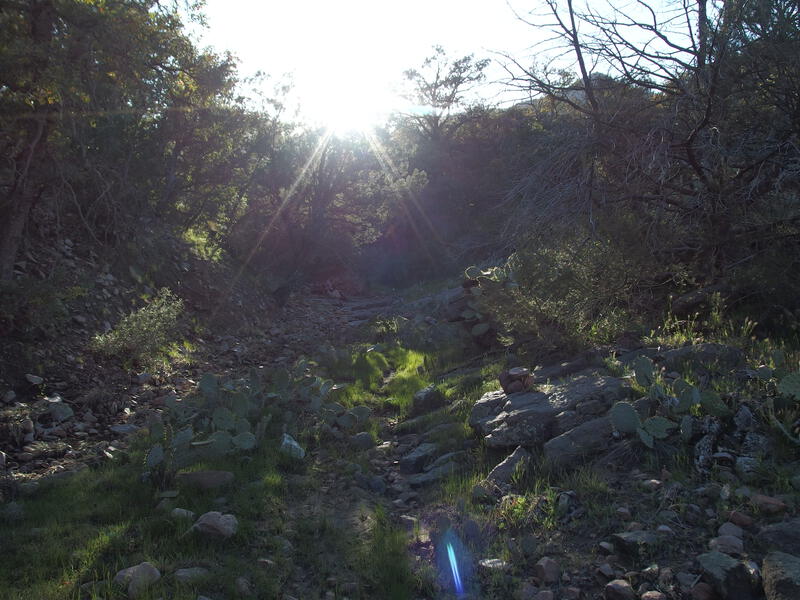
A dreamy, easy climb out of Coon Creek
600' of climb passed by quickly, as well as the junction with Coon Creek Trail, and soon I was at the wilderness boundary. Technically the trailhead sits about a quarter mile south of here, at the end of a two-track. I didn't really care. There was a nice campsite at the boundary and a flat area for my pad and the sun had dropped behind Zimmerman Point, draping this land in dusky shadows. I was done for the day.
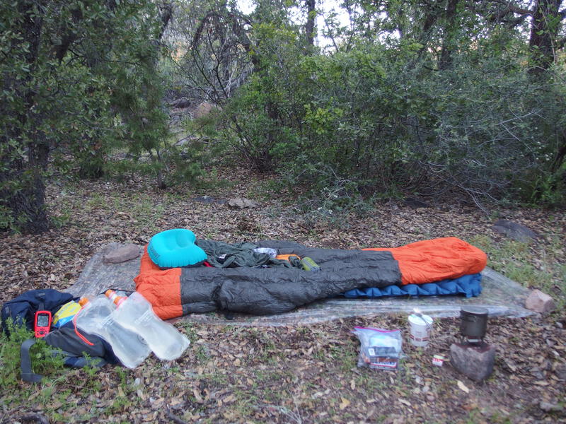
Cowboy camp on the forest boundary
Dinner was a throwback to my early camping days, ramen noodles and crackers, and soon I was snuggled in my sleeping bag with a good thriller. I was dry camping, the nearest water source a mile away, which would hopefully keep the wildlife traffic to a minimum. This was my first overnight since... 2018? and I wanted to ease back into things. And I guess a 30 mile loop through a fire-damaged wilderness, cowboy-camping hours away from the nearest paved road or help, was the best way to do it.


Comments (0)