Malapais Loop: The Peak of Malapais
To reach Malapais Mountain from Geronimo Head meant taking a zig-zag path while avoiding two canyons. One canyon drains south to La Barge and the other north to Peter's, and of course they don't line up nicely. If I wanted to avoid several treacherous drops I had to do the zig-zag and rack up some annoying distance.
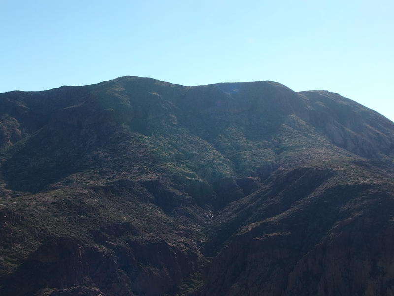
Goliath bulk of Malapais Mountain
First I headed north along the slowly bucking back of Geronimo. There were three hills to make my way around (no, not THE three red hills) to avoid the first canyon. The hot sun baked down on me and I licked my dry lips. It was only like ten in the morning, far too early for this heat or for me to feel so drained by the exposed desert. Yet as I weaved around various cacti and rocks I seriously considered calling it a day and heading back down to my car.
I could try to spin it as a good loop. Climbing Geronimo Head alone wasn't a bad feat for a day, and there were a few alternate descents I could take down to Peter's Canyon for a solid eight mile day. Or I could try to descend down to La Barge and end up by Canyon Lake for a longer adventure. Malapais was my goal, though, and I really wanted to reach that peak. Tired legs be damned, I really wanted to reach that peak.
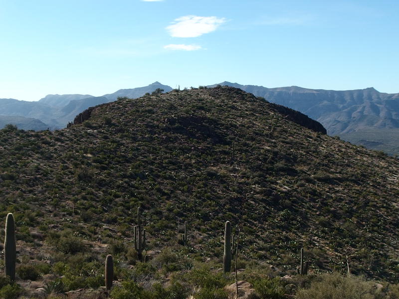
Looking back along the bluff of Geronimo
Once I topped the first hill my cramps started back up, little clutching things right above the knees. Figures - I had brought along four liters of water and not nearly enough salty snacks to make up the balance for how much sweat was pouring out of me. Maybe my usual plan of sipping two liters on long hikes wasn't half bad. Anyways, the cramps were not severe enough to change my plans, so I pushed through them.
The second hill came and went and then the third hill showed up. This was the highpoint here, a decent 3500', which was nothing compared to the 5000' plus sections on Superstition Ridgeline or the 6000' plus hills further east. My body complained nonetheless. I looked over at the third hill with despair. The thing was piles and piles of rock, much steeper than my topographic maps had promised, and it would be a pain to get around.
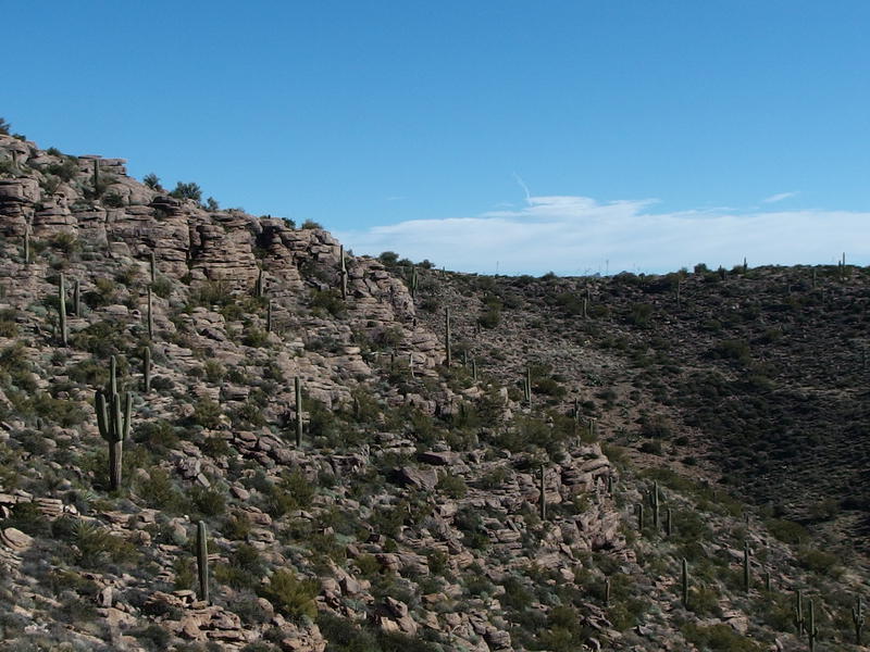
Tough route around the upper canyon
I avoided the temptation to climb it outright and aimed for the right shoulder, doing my best to avoid losing too much elevation into the deep gully below. This was the head of that canyon I was trying to avoid, the very tip of it, and I had gone too far out of my way to drop into it now. While the route was tough it was fun, sweeping around huge boulders and crawling up a few steep sections. Once I reached the far side I looked down to the north with a certian amount of pride.
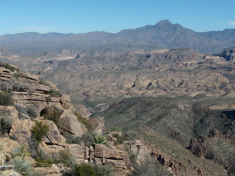
Dry washes far below
This was my first good view north since climbing beyond Tortilla Flat much earlier in the morning. I drank it all up. Below Four Peaks was the long swoop of green hills that reach down to Salt River and Painted Cliffs, and closer was the (smaller) Black Cross Butte and squiggly Coronado Mesa around Mesquite Creek. With a bit of imagination I could even see where Mesquite Creek and Peter's Canyon came together, which was right close to where I parked. I couldn't make out the road, though, which seemed like it would be something visible from here. So close to my car yet so far away. I turned southeast and began my march towards Malapais.
Before I could began the real climb, though, I had to drop down into the saddle between the two canyons and then follow that saddle (more a mesa than a saddle) about half a mile to my route up the mountain. The drop looked nasty. On my journey over to this point I had been eyeing it up, trying to see if there was a good way down. There were several points where it cliffed out, and where it didn't it was covered in thick brush. I made my way towards to the drop with a certain amount of reluctance.
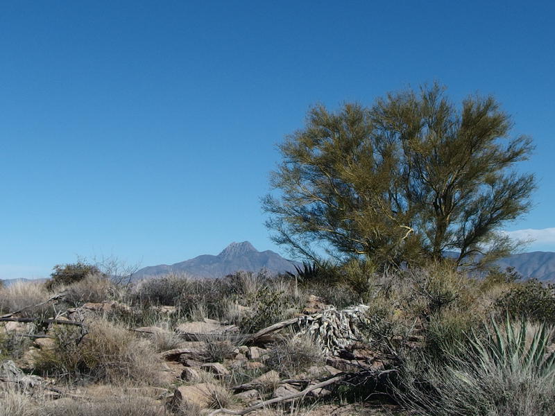
Crazy hair day and Four Peaks

Long descent to a green mesa
It didn't end up being too bad. I avoided two of the more severe cliff areas and tackled the other one with slow, sliding holds. The brush wasn't as thick close up either. Just more of the same old thorny bushes and prickly pears and saguaro and pincushions, more of the vicious plants that seemed to only exist to cause pain for passerbys. When I reached the saddle, though, things kicked up a notch. I was on mostly level land with a slight incline up hill, the ground a solid rock with thin patches of rocky soil, and the cacti was thick. Ten minutes along this and I had to stop twice to pull needles out of my legs.
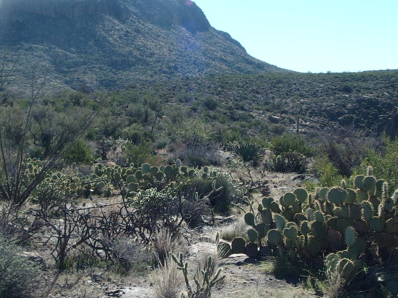
Plenty of cactus to avoid
My route became a slow weave along the mesa, trying careful not to veer too far left or right and end up in one of the two canyons that sandwiched me in, and being even more careful about the prickly cactus. Usually I can just cut a straight line and wiggle around the occasional obstacle, but here I was hopping over and backtracking to avoid painful encounters. The hot sun beat down on my exposed route as I slowly crawled towards the hulking bulk of Malapais.
Along the way I bumped into an abandoned camp. There was a nice firepit with a grill over it and a partial pad for setting up a tent, as well as a torn-up sleeping bag, tarp, and small fortune of full water bottles. Maybe someone hauled up gear for an overnight and then changed their plans and left everything behind. Or maybe they were planning on coming back and didn't realize how tough the desert weather would be on their gear. Either way, it looked like it had been out here long enough for me to disregard any idea of borrowing some of the water.
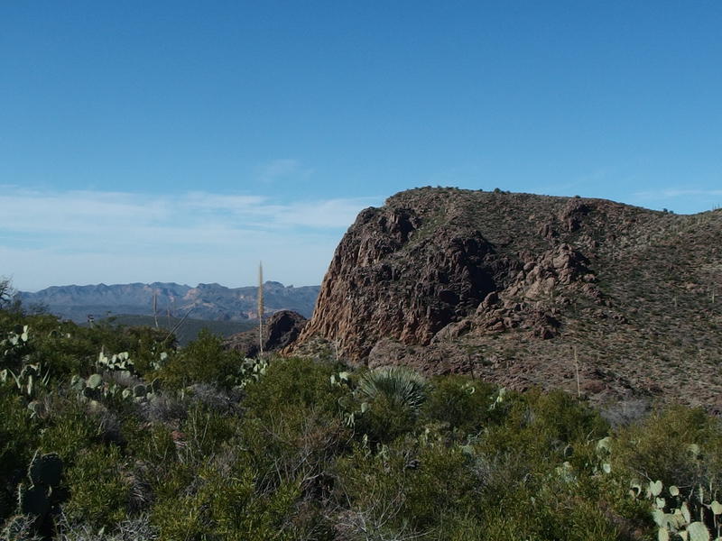
Back at the bluff on Geronimo
The mesa continued to slope upwards, gradually steepening, and I ventured a quick look back at Geronimo Head. It looked so darn close. If only there wasn't a steep canyon between me and that bluff I would have been able to miss out on this roundabout route. No, the only way to get here was that long loop around the first canyon, and now I was almost beyond the head of the second canyon and ready for the main climb.
I did jump the gun a little and headed down into the second canyon early. It was only a little drop by now, maybe a hundred feet or so down and back up, before I could tackle the meat of the ascent. The sun was so darn hot on this mesa and I was hoping to catch some shade below some of those cliffs. The drop wasn't bad though the wash at the bottom was really choked up with growth. It took some creativity to get through and up the other side.
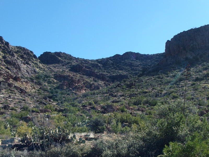
A gnarly climb up the rough canyon
Once on the other side the realization of the final climb sunk in. I was taking a narrow gorge up the northwest face of Malapais, something that looked relatively easy from the topo maps, yet from here there wasn't anything easy about it. It was clogged with growth, steep, and looked to be cliffed in. If I could get through the growth and beyond the harsh rock walls on the right side there might be a route up the rest of the way. With a deep draw of water I tucked into the climb.
With the steep grade and thick growth and loose ground underfoot I took the climb in sections. Every dozen yards I'd pick a new cactus or sotol stalk, climb to it, take a minute to catch my breath, and repeat. This gave me just enough time to keep my legs from fully cramping up, too. At first I tried to aim for the rock walls on the right, hoping to catch some shade from them, but the slope under them was too steep and loose for me to deal with. I cut a wide berth under them instead and circled around into the open gorge.
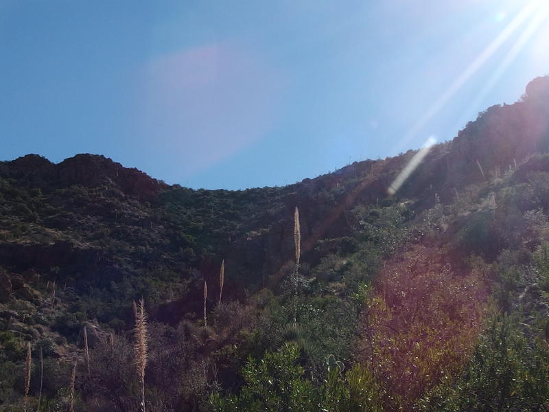
Hot sun over the small canyon
The gorge was much more vegetated than I would have guessed, and nowhere as prickly as I would have feared. Low, dusty trees hung onto the steep gorge walls, sheltered from the direct sun by the slope. It made for a different kind of obstacle than the usual cactus and I swung around and crawled under the lower branches. Before I knew it I was under a wide chunk of shade near the top of the gorge. I cut to the right and scrambled up a few long rock shelves and was back out on an exposed ridge.
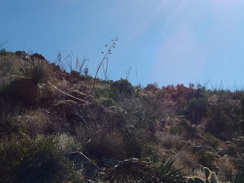
Almost to the crest of Malapais
Before I could reach the crest, though, I ran out of water. One of my two liter bags was empty. It wasn't quite noon, and most of my climbing was done for the day, so I didn't think much of trading out the bags and pulling out the hose for the full two liter.
I pushed on and crested the last long slope and was suddenly on a rounded peak of a hill. Was this it, Malapais Mountain already? Tortilla Mountain was clearly visible to the east, a few miles and eight hundred feet above me, and even the smoggy Phoenix Valley poked up far to the south. Ah, the smoggy air of Phoenix, you hardly notice it unless you're this far away from it. A quick look around confirmed that I wasn't quite on the peak. Malapais has three mounded hills on top and I had just made it up the northernmost one.
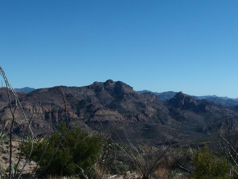
East to Tortilla Mountain
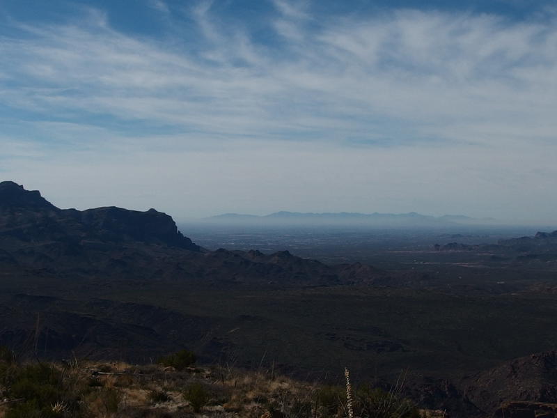
Low smoggy clouds over Phoenix
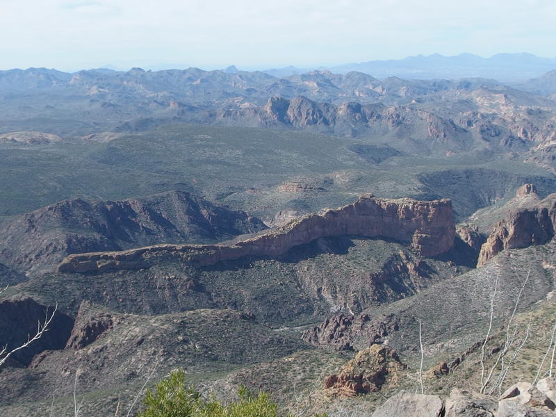
The long stretch of Battleship Mountain
The views from the northern end were pretty good, though. I was above 4100' and, on top of the views over of Tortilla and Phoenix, had a direct shot shot down on the long stretch of Battleship Mountain. The views from Geronimo had been fantastic, so close to the northern end with the long tail drifting away, yet here I could really make out the long profile of the thing. It's a much more useful view of the thing to someone who's looking to climb it again soon (I still need to take Chris to the prow).
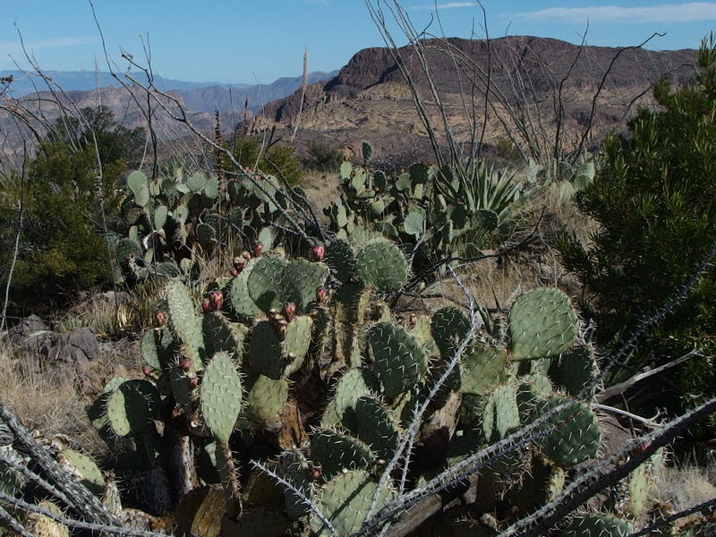
Thick clusters of cactus
With no more climb of note left I booked my way across the top of the mountain. The cactus was thick, sure, which I had come to expect on this hike anyways. I weaved around the dead ocottilo and sprawling prickly pear and did my best to avoid tripping over the loose rocks.
It wasn't all cactus up here. There were actual green trees, low and shrub-like, that huddled in lonely patches. They must be up here for the relatively cooler temperatures that this height gives them - I doubt they get that much water so high and so exposed. It was a pleasant reminder that not everything around here was as hostile as the stereotypical desert, something that I'm still trying to acknowledge as my adventuring has taken me into several lush environments.
There wasn't much to see from the middle mound of Malapais, as it is the lowest of the three, so I pushed on quickly to the last one. I was within a few yards of the very top when I tripped over an agave stalk. I toppled like a cut tree, my entire body sprawling in what must have been a comedic sight. A rock swung up and clocked me in the chin, and probably would have knocked my jaw loose if I hadn't gotten my hands under me. My left leg was in worse shape. One sharp rock cut deep into my shin and a rounded boulder knocked a starburst of pain from my knee. I lay face down on the top of the mountain and howled in frustration.
After a brief bout of pity I got up and checked the damage. Left shin was bleeding pretty good and my knee gave warning signs as I flexed it. There were several needles embedded in my hand, one sunk a good half-inch right into a knuckle. No idea how it go so far - the thing must have been nestled behind the cartilege or something. I was okay, shaken but not seriously injured. With a limp I made the last few yards and sat down hard on a boulder.
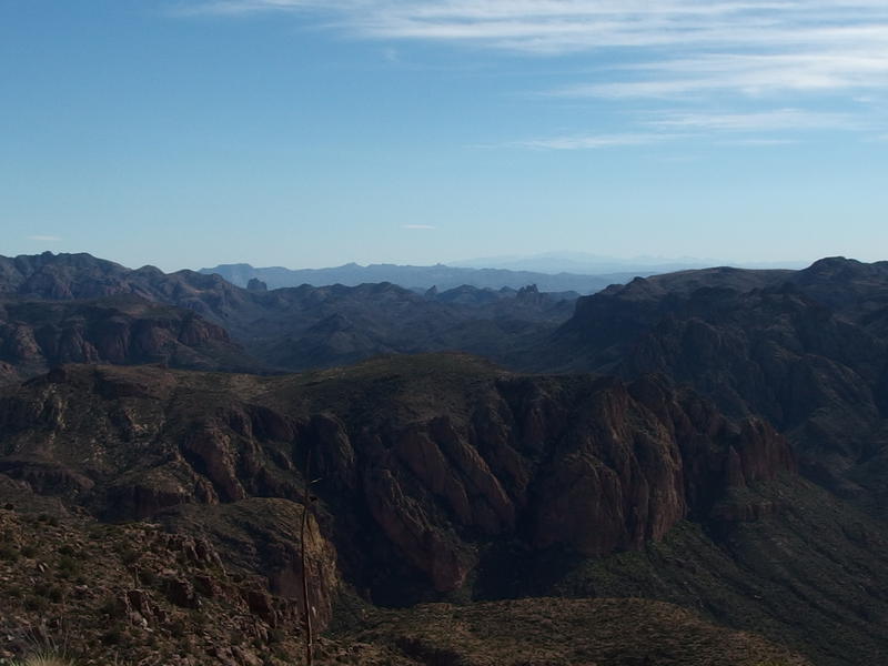
Dark view down on Black Mountain
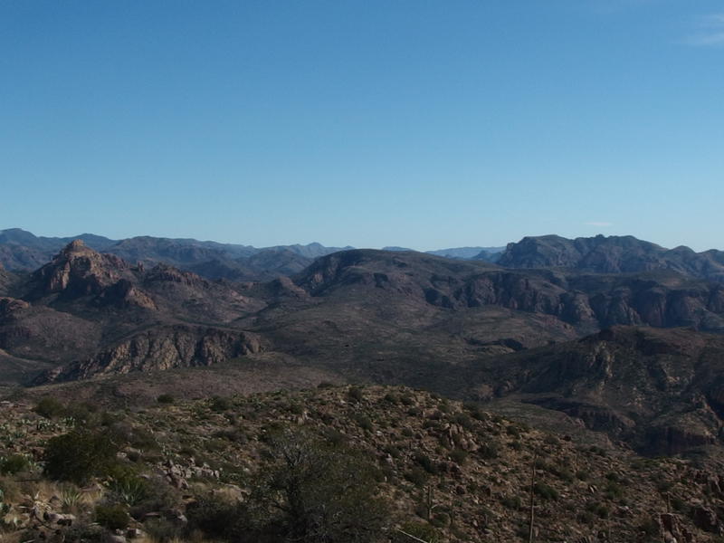
Along Peter's Mesa to Music Mountain
The views to the southeast were of the most interest to me. Haze and direct sunlight clouded up the details, yet I could make out everything from the nearby Black Mountain to Miner's Needle and Buzzard's Roost in the distance. Swinging over to the east was the long stretch of Peter's Mesa and Music Mountain on the far end, with Coffee Flat rising up behind. This, this was exactly the views I was hoping to get of the rugged western Supes.
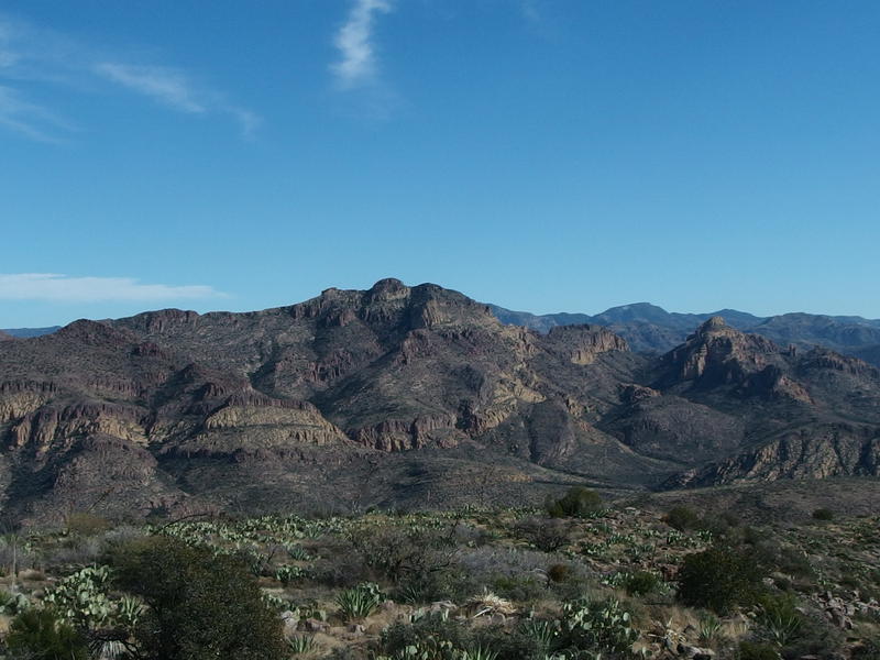
Many buttresses of Tortilla Mountain
Directly to the east was Tortilla Mountain itself, which will probably be one of my next climbs. Compared to this hike it was relatively easy: hike along an old ranch road, take Peter's Trail to the pass, then a 1000' climb over a mile cross-country. The descent is another story. Backtracking is no fun, and there is a long ridge further to the north to play on. I eyed it up with plenty of interest, knowing that I could be up there looking back at Malapais within a few months.
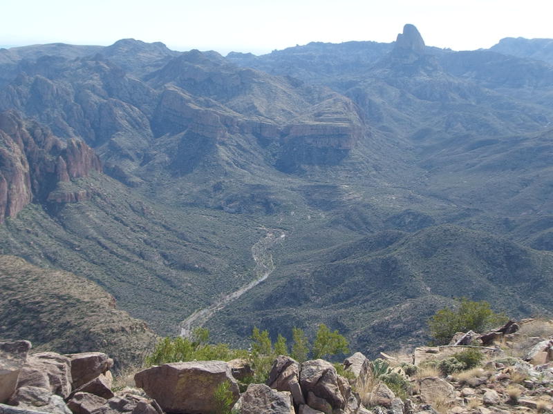
La Barge, snaking up towards the opening on Bluff Springs Mountain
Looking back south was a steep drop to La Barge Canyon and Weaver's Needle beyond. It even looked like La Barge was running from this distance, or at least seeping water from one muddy pool to the next. Above the swing to the left was the base of Bluff Springs Mountain, a rugged mound of mountain that sits between here and Weaver's. There's a lot of history around that mountain, old mines and stories of Spanish/Pima corrals on top, that I'd love to explore some day.
Speaking of history, I noticed some old graffiti below the peak. The initials 'C.M.B.' were carved into a rock and looked pretty old. Not sure whose initials they were, or if they were a hundred years old or just twenty, but it was something to look into later.
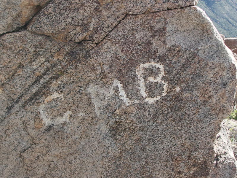
Historical graffiti
Eventually I finished gazing around (and a short lunch of beef jerky) and figured I had to head back down. It was after noon by now, my daylight half gone, and I had to figure out how to get out of here. I really didn't want to backtrack. My initial plan was to climb down to Peter's Mesa and find an easy descent from there to Peter's Creek, something I knew would be a tough part of today's hike. The left knee didn't like the thought of adding more distance, though. Instead I cut a northeast diagonal, hoping to avoid most of Deering Canyon (which drains the eastern side of Malapais towards La Barge, oddly enough) and hoped the long drop would pass swiftly.
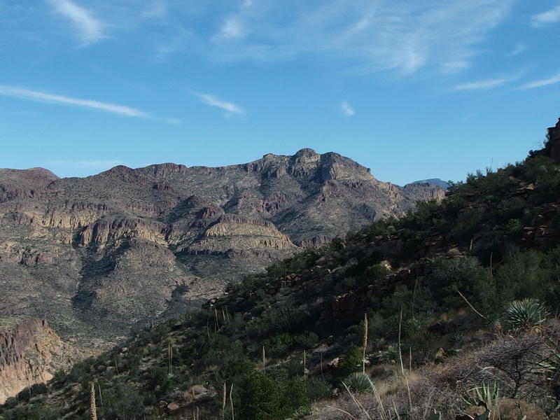
On the steep downhill slope
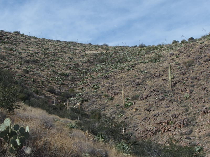
Looking up the start of Deering Canyon
What looked like a gentle slope from above ended up cliffing out several times and, when it wasn't steep rocks, was loose and treacherous underfoot. I gingerly made my way down and tried to keep too much stress off of my left knee. Most of the bleeding from the shin had stopped by now and only a dull throb reminded me of that injury, but the knee was a bit more loud. It was a slow, painful descent, and when I reached the bottom of the first draw I got to fight through dusty shrubs to start up the far side.
I slowly rounded a curve in the hill, below the middle mound of Malapais, when the sound of rattlesnakes exploded into the air. I leaped backwards and sat hard on the ground, keeping both eyes on the rock where the sound came from. There had to be a nest of them to make that much noise. Here I thought it was too early in the year to worry about snakes off trail. I cut a wide berth around the rock and continued on my way. The last thing I needed was a snake bite and a bum knee this far from a car.
Ahead was the head of Deering Canyon, a meager fifty foot drop and climb to pass, and a saddle on the other side. That saddle was my last climb of the day, sort of. There was probably going to be a few more little obstacles in Peter's Canyon. Pausing for a brief rest, I stopped and looked up at the blue blue sky. I was sore, cramping, and hurt, and there was miles and miles left to hike. For the first time today I let the realization sink in - maybe I had bitten off too much this time.
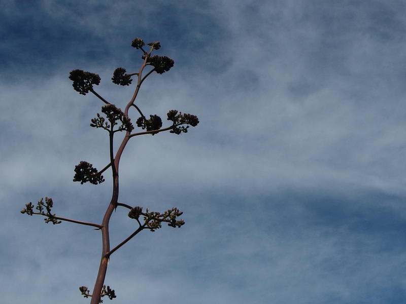
Lonely agave against the blue sky


Comments (0)