Keweenaw Hike - The North Shore
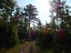
Moonlight trickled down through bare branches and spilled out onto an overgrown track in the woods. It was a full moon that morning, or pretty close to one, and the sun had yet to rise in the eastern sky and brighten my passage. I wasn't too worried. Aside from a few deep mud puddles the road over North Bluff was relatively easy to make out and I had a long walk before I reached the tougher lands along Lake Superior.
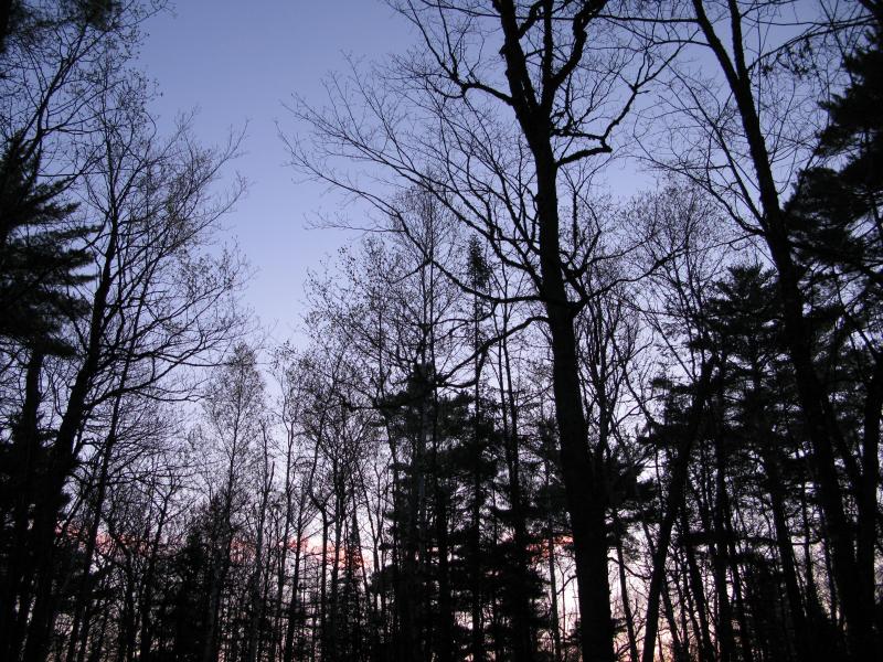
Early morning sky
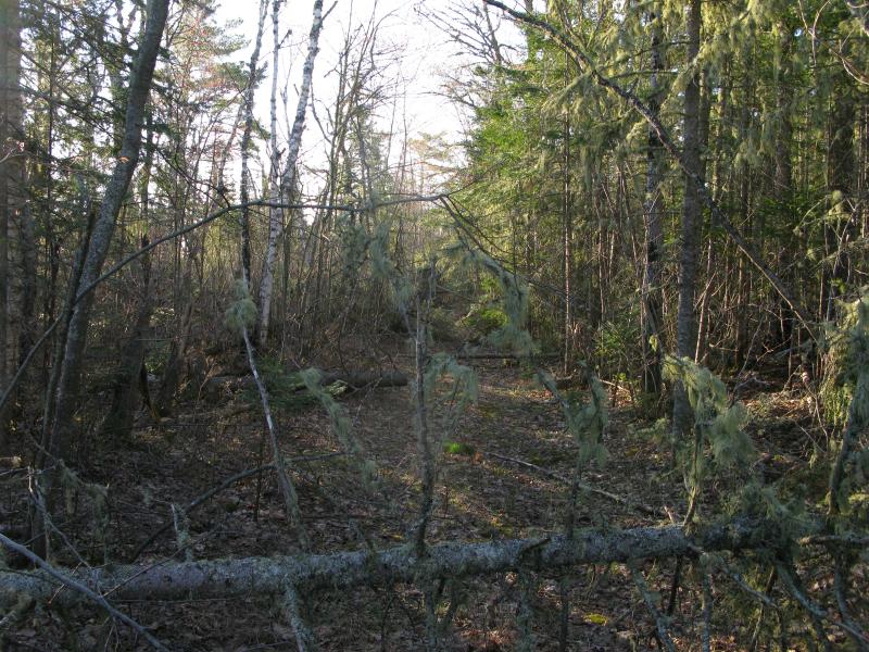
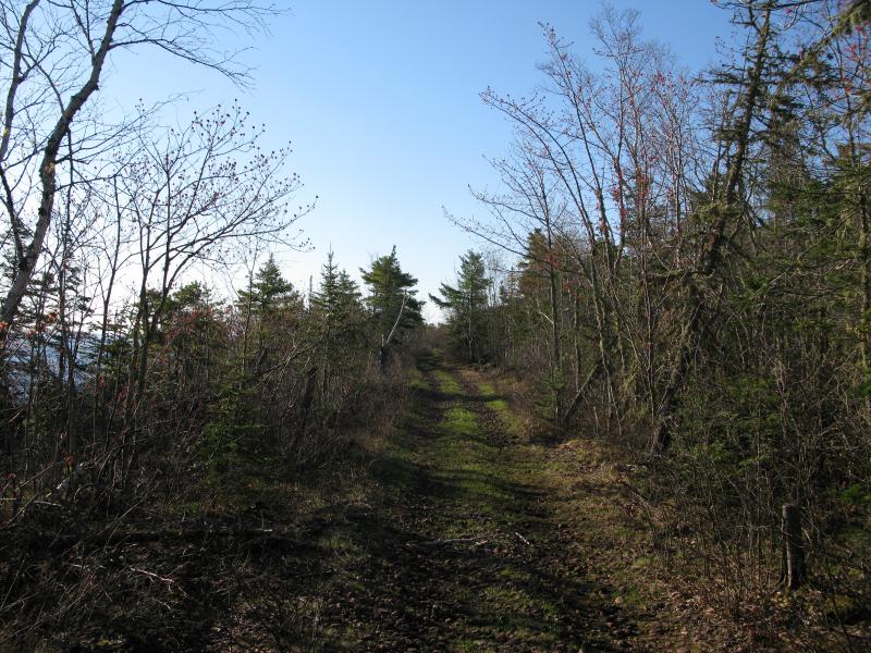
The track led north and sloped downhill for most of its length (after a quick climb right on the Mandan Road). When I reached the old High Rock Road, the rocky track that connects Horseshoe Harbor all the way to High Rock Point, I had a few options. I wanted to get to Lake Superior's shoreline, maybe a half mile to the north. The forest was thick and nasty, though. I could follow High Rock Road for a bit, either to the left or right, in hopes of finding an easy route. I knew that the road did fork to the shore a mile or so to my right. Undecided I wandered a bit, slowly meandering along the road, when I found the trail. It was overgrown, difficult to make out in the early light, but it cut though the thick woods. Eagerly I left the road and headed northeast towards the rising sun.
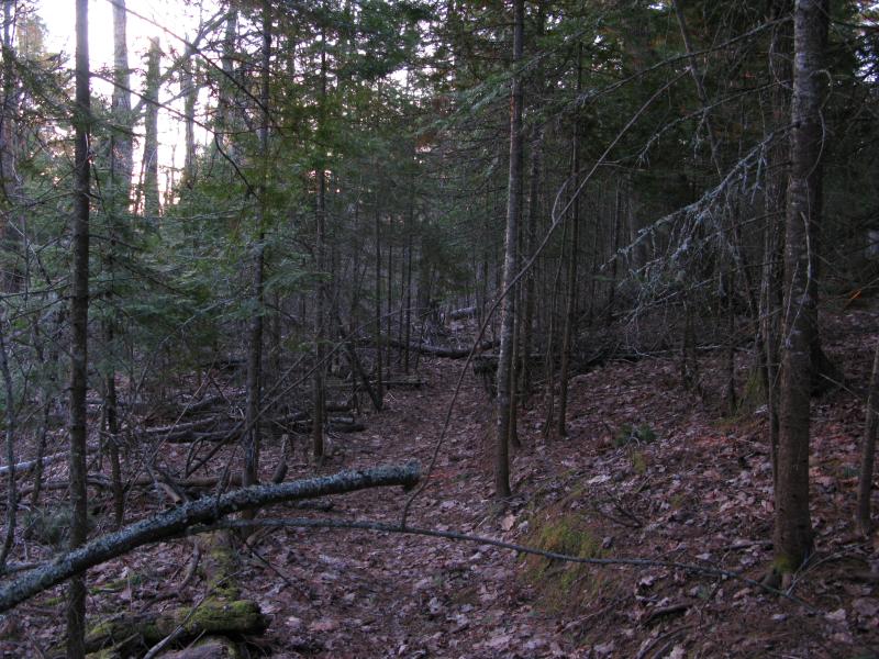
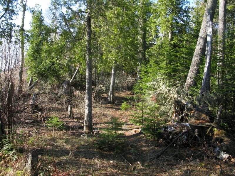
Odd unmarked footpath through the woods
The trail was too narrow for ATVs and too true for animals. There were a few obstacles, downed trees and clinging branches, though nothing looked more than a year or so old. Someone maintained this trail, as early as last summer, and the worn groove through the softer forest floor showed that many people had traveled this way. For an unmarked route this was weird; for a trail that connected two remote locations with little importance it was bizarre. I was not surprised when the trail died out a few hundred yards from shore in the midst of a blowdown.
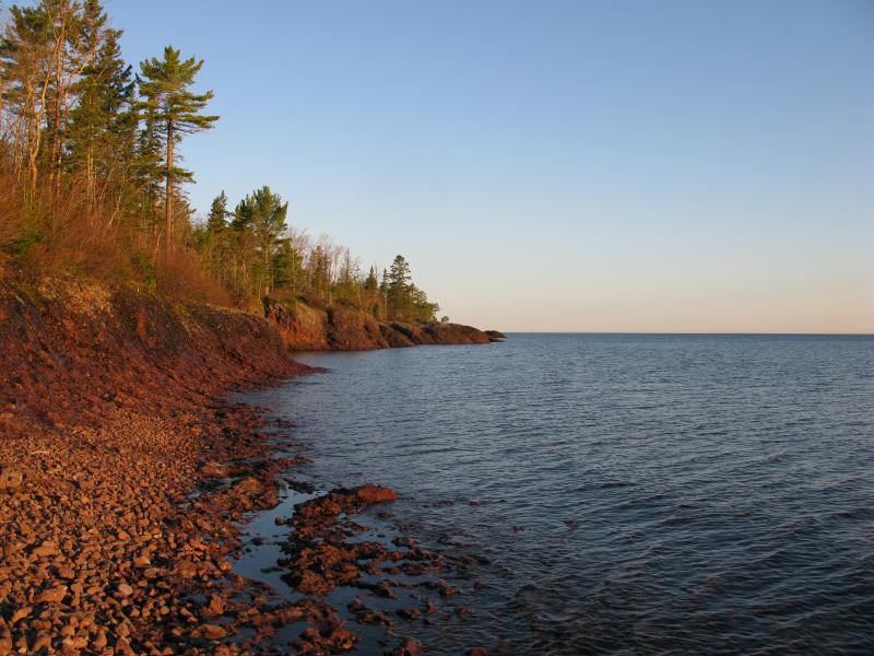
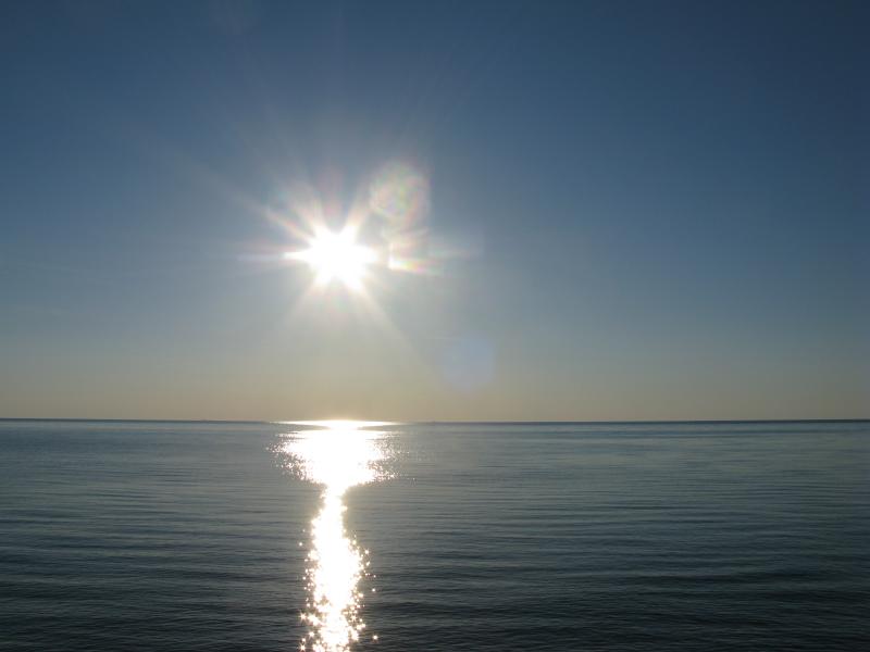
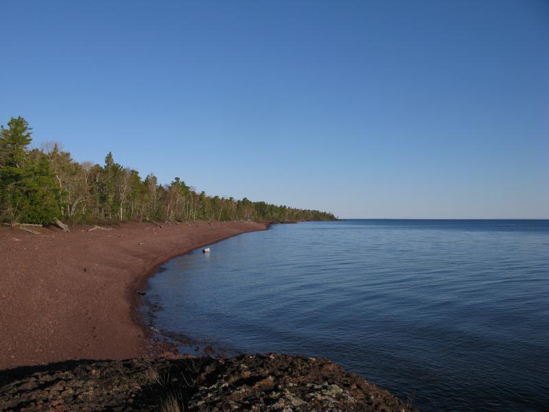
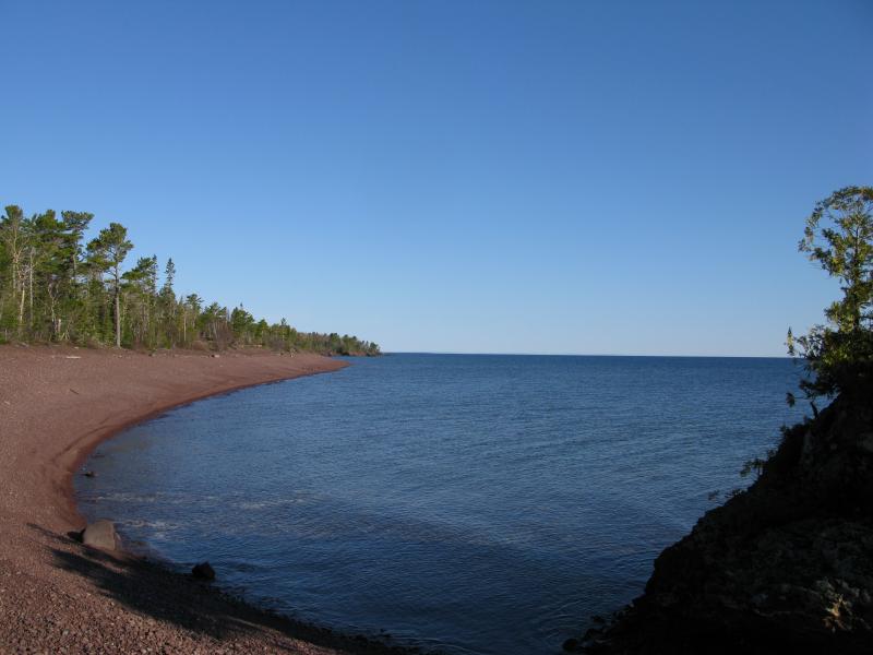
I had hoped to reach the shoreline before the sun was up. The sun beat me. Piercing yellow light shot through the branches ahead. I wasted little time pushing forward through the thick Keweenaw forest trying to get to the water and catch the end of the sunrise. Branches reached out to claw and hold me back, pulling at my clothes and scratching at my face. There are few spots in the Upper Peninsula that I hate bushwhacking through: immature red pines, swampy grasslands, recent logging. Keweenaw shoreline forest is the worst of them all. Grimacing I buckled down and pushed through, weaving and hacking, until the deep blue of Lake Superior appeared through the woods.
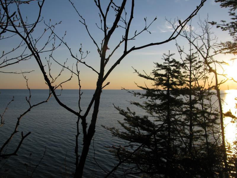
Morning light over Lake Superior
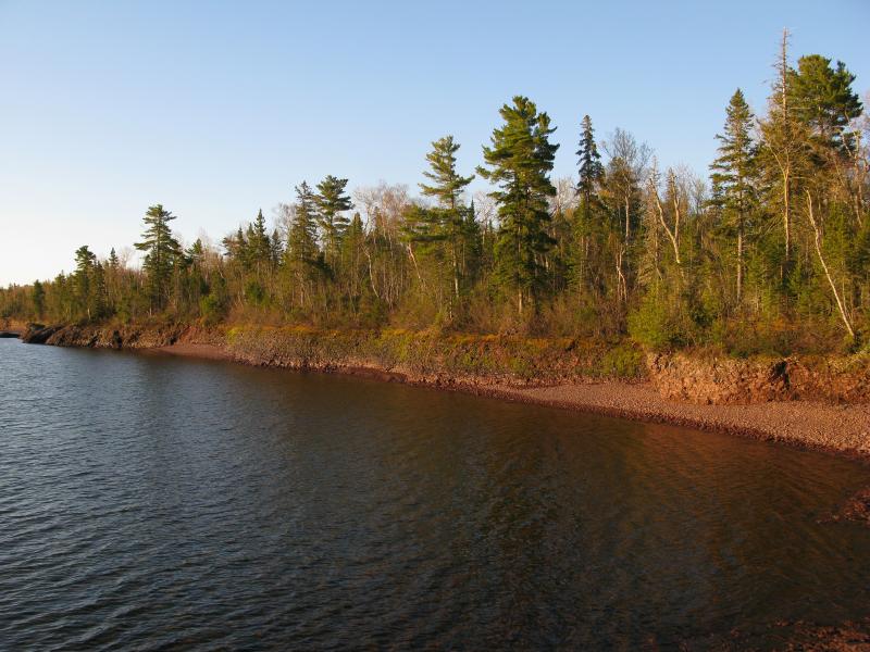
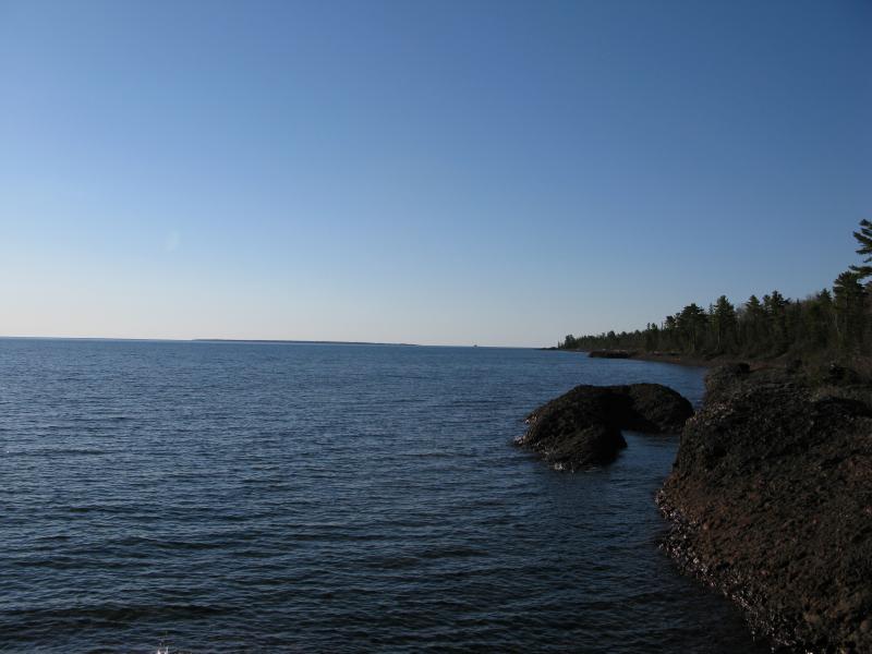
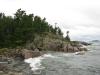
Two things surprised me when I reached the shore. For the last twenty minutes a deep throbbing noise had been seeping through the woods, almost like a distant bass from a cranked up system. The sound was coming from a pair of freighters just barely visible on the horizon. The sound carried easily over the lake and into the woods. The other surprise was how far down the water was. The north shoreline of the Keweenaw is mostly conglomerate rock, easy to crumble under the power of pounding waves, and I had assumed that the shore would be a gentle slope. Instead the forest ended with a quick drop over straight rock with a cobbly beach far below. I was stuck a good twenty feet above the water.
Cluttered narrow trail along the shoreline
Not that being stuck up in the woods was too bad. For there was another surprise that greeted me here, one that far outweighed the other two. There was a trail. It was hard to make out and much narrower than the one leading in from the road, yet it was a trail. The Keweenaw forest reached in from all sides, angrily trying to overtake the intrusion, and I imagine that walking the footpath with a full backpack could be a bit difficult. For me it was a godsend, an easy way to follow the shoreline without risking a sheer drop over conglomerate rock. I turned east and followed the trail.
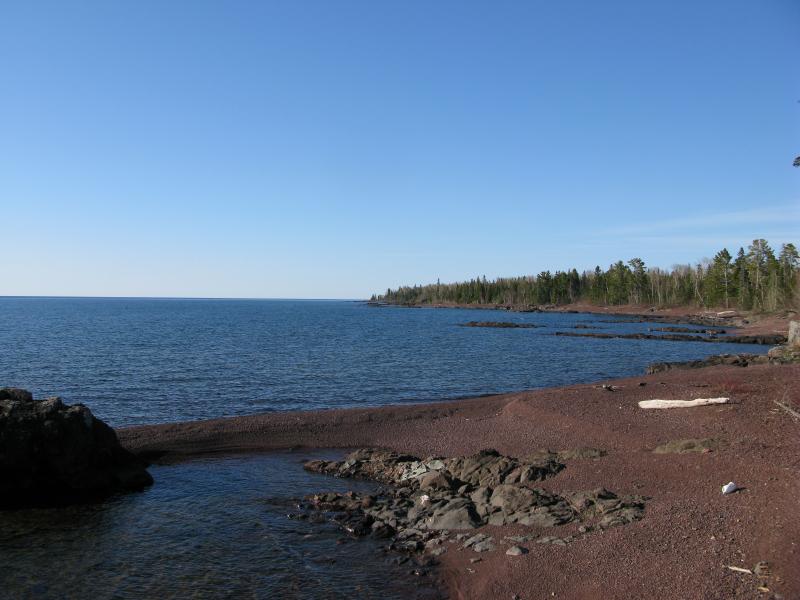
Distance fell away quickly under my feet. I had a long ways to walk today and even with my predawn start I would be hard-pressed to make the distance before nightfall. The footpath provided an easy, level route with occasional drops down to the sloped rocky beaches below. For the most part. The path through the woods had a few trouble spots - downed trees and overgrown sections - and the beach below was broken into small coves by steep points of conglomerate rock. I switched frequently between the two, wandering through the woods for the even path and along the beach for the open air, and let the yards pass away behind me.
Waking light along the conglomerate beach
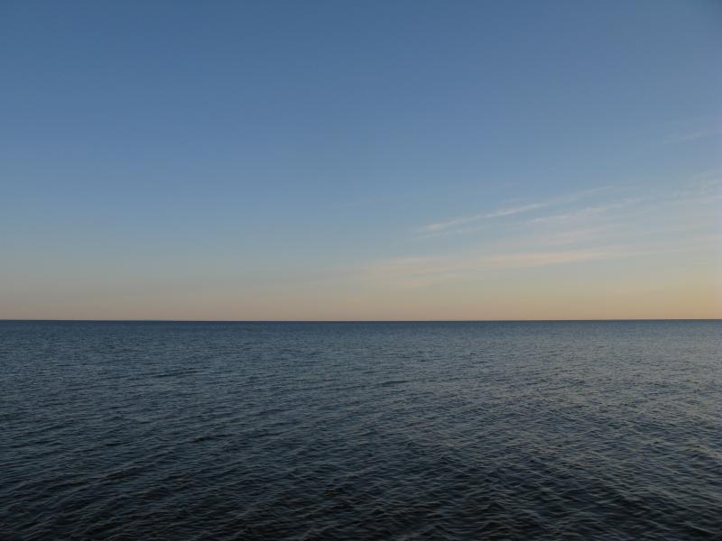
Expanse of Lake Superior
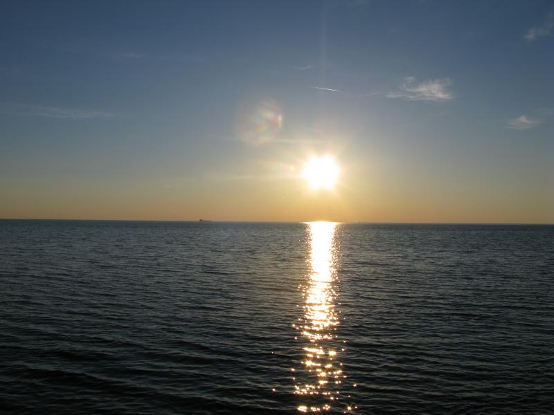
Distant freighter under the morning sun
A realization started to snake its way into me. Sometimes, while I'm out hiking in the midst of the wilds I can almost feel the remoteness of an area like a presence. Walking along the edge of thick woods surrounding Silver Lake Basin or driving along the Northwestern Road with Longyear property pressing in from the north and the Salmon Trout River basin from the south… Just the feel of a wild place so close that holds mystery and few people tread. I felt that now with Lake Superior. Here, on the north side of the Keweenaw, was the openness of the great lake. I wasn't protected by Keweenaw Bay or Huron Bay. The closest land was Canada, many and many miles away. A sleeping giant lay to my left, small waves lapping at my feet a mere shadow of his power, and I felt small.
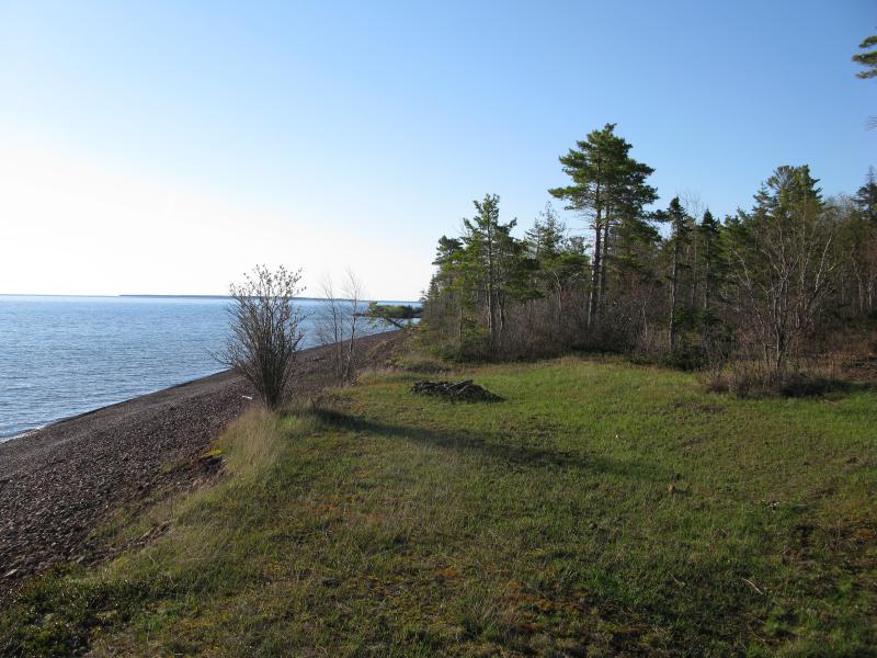
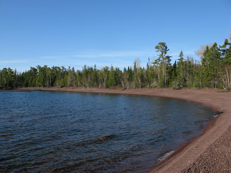
I continued east. The shoreline here makes a gentle curve south, rounding off at the tip, and I started to peer expectedly ahead for an island. Each small cove was a minor waypoint, lengths of rocky beach separated by conglomerate points, and each one offered a bit more view ahead and a bit less behind. Finally I saw it, the tip of Manitou Island, and I stopped for a small break.
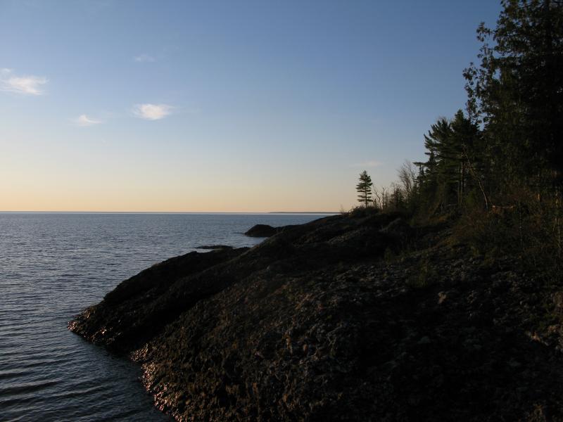
First view of Manitou Island to the east
Tall pines over a rocky shoreline
The hike wasn't bad so far, especially with the wooded footpath, but it could have been easier. The beaches had a mean slope and the rocks were harsh under my boots. Conglomerate outcroppings were slick with seeping waters from the forest above and often too steep to directly walk along. The footpath, while even and relatively soft underfoot, involved ducking and weaving to avoid the more cluttered areas. I checked my map. There should be a road showing up soon, one that followed the shoreline and could provide an easy route. Hopeful I headed out, sticking to the footpath, mindful of the sun's progress in the sky.
Bright sun over the water
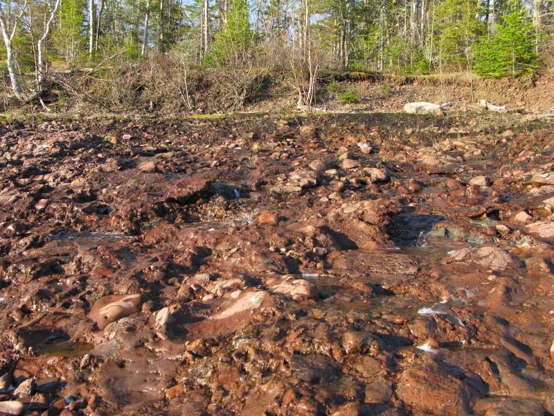
Water seeping out over the conglomerate rock
Twenty minutes later the road showed up along the trail and I poked over hopefully. The road was not friendly, though. Many pines lay across it, more hassle than my footpath, and it was obvious that neither man nor machine had taken this route for several years. With a sigh I headed back to the rocky beach.
Old forgotten road on the north shoreline
After a particularly long stretch of sloped beach I came out on a high point of rock and looked around a bit. Ahead I could make out more of Manitou Island and could, just barely, see the small point of Gull Rock Lighthouse. The lighthouse lay on a point between the Keweenaw and the island and, thus, could form a mile marker for me. Right now it showed up to the right of the island. As I progressed southwards it would pass in front of the island, then, if I continued south, eventually show up on the left side. Smug about this little thought experiment I bounded forward, almost missing the road to my right, the road that followed the shoreline and was now cleared and without obstruction.
Steep conglomerate rock shoreline
Manitou Island and Gull Lighthouse off the shoreline
Well-worn track along the shore
This road is connected back to High Rock Road, splitting in two when it hits the shoreline. I had first bumped into the western half, which leads nowhere and has fallen into disrepair, but the east half leads to a cabin about a mile ahead. The track was well used and easy to follow and I gladly trotted along it, hoping to make some good time. It wasn't until I bumped into a few small campsites and a few 'No Trespassing' signs that I relented back down to the rocky shoreline.
Camping sites above the beach
More sloped coves and conglomerate points greeted me below. I trudged forward, trying to enjoy the changing shoreline and shifting views of Manitou Island, though some of the monotony was starting to get to me. Part of me had considered starting out this morning from Horseshoe Harbor, which would have added several miles of steep shoreline to my route, and I was grateful that I had skipped forward a bit, even if it meant that early morning bushwhack.
Long, lazy sweep of cobble beach
Eventually the conglomerate points were replaced by basalt, straight lines reaching out far into the waters of Lake Superior. This made sense, as the shoreline curved south over the Keweenaw Ridge, that I would be passing over some volcanic rocks. Thin quartz veins snaked and crossed through the dark grey rocks, spidering in unique and interesting patterns. Both the change in terrain (though the cobble beaches were still steep and slanted) and the knowledge that I was turning the corner southwards were welcome.
Rocky beaches between rocky spurs
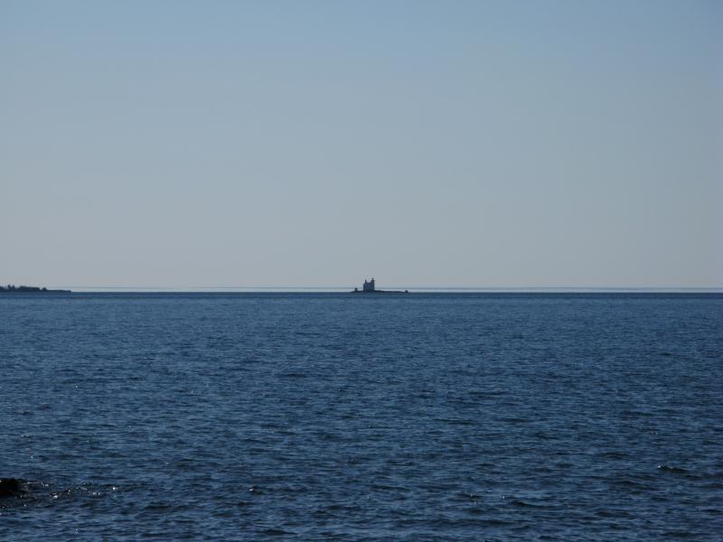
Gull Lighthouse
I started to lose my bearings a bit. The plan was to hit the Keweenaw Rocket Range, which was on the eastern shore, but the rounding shoreline was subtle and it was difficult to tell if I was on the north or east side. I was slightly worried that I would miss the range, not knowing how close to the beach it was, and I began to check up on the woods more often. The woodland path had faded away after the cabin, probably assuming that most people would be on the beach now, with the sudden conglomerate shore replaced by the forest easing into beach easing into water. When I saw a makeshift path I sprung up on it, hoping that this was it.
Lapping waves against the conglomerate beach
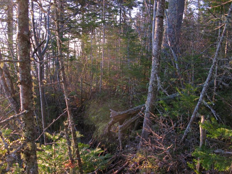
Scraggly brush north of the rocket range
The path led to the range which was right on the shoreline. A large cement foundation (which must have been a real pain to pour) sat in a small clearing with a monument and swooped metal beam upon it. It was a curious spot, no real explanation why this spot was chosen or what the rocket's function was, and the monument seemed to praise the placing of itself more than the actual launch. Slightly confused I took stock of the nearby firepit and makeshift bench and took a small break, plopping down near the blue waters and reviewing my map.
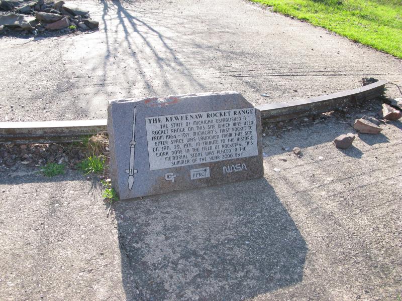
Small monument on the old cement foundation
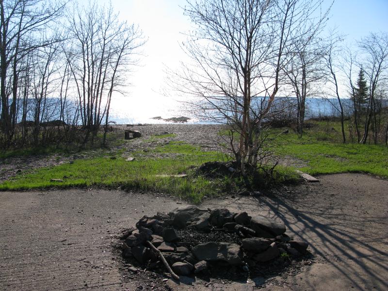
Firepit and bright waters beyond
This morning's hike was just the first leg of an ambitious hike around the tip of the Keweenaw, the first of four long sections on a journey from the north shore (not quite Horseshoe Harbor) all the way over to Keystone Bay. This leg was a big test, a large unknown of the trip, and it had worked out well. Between the unexpected woodland footpath and an early start I had made really good time. For the first time since dreaming up this ambitious hike I wondered if it would actually be easy. With a broad smile I shouldered my pack and turned west, away from the lake, and headed inland for a quick detour to Schlatter Lake.
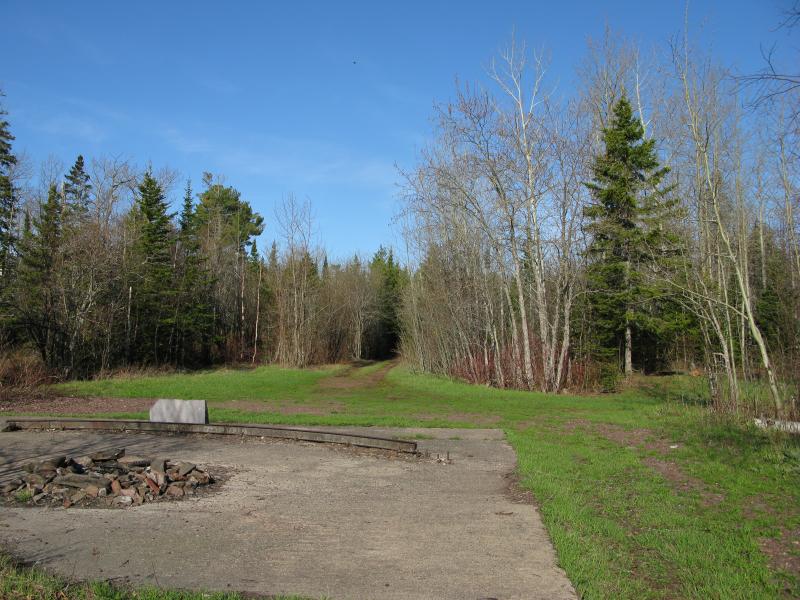
Track leading into the woods
-
Jacob Emerick
Aug 5, '13
Ha, I knew you would like this series :PThe total distance was somewhere around 25 miles. I'd have to check the GPS to confirm. Totally doable in a day, if you decide to tackle it. Also, just so you know, I'm going to try to push out the rest of these posts throughout the week, so there shouldn't be too much of a delay for the rest.
Add to this discussion-
Jacob Emerick
Aug 5, '13
Glad that you enjoyed it! As you might have guessed, this is the first of a multi-part story, a story of a hike that I've waited a long time to attempt and one that I'm hoping I don't mess up sharing :PI had a hard time describing Mother Nature's hug, that overwhelming sensation of loneliness and community in the wilds. I like your statement of a cleansing spirit. Tokiahok Head and this hike I really felt it, just a rush that's terrifying and exhilarating. Kinda makes me want to pack up and go get lost right now!Ah, and the map. You're not the first person who has had some issues with it. I've been spending a lot of free (hah!) time working on my waterfall site, doing a total refresh there, but I'm hoping to address that site soon too. By any chance are you using some sort of virus protection, like webroot or symantec or anything? I wonder if the topo tiles are black-flagged... They are being fetched from USGS and are not incredibly reliable...Thanks Riddler!
Add to this discussion-
Jacob Emerick
Mar 31, '14
Thanks Jim and Nancy! I'm glad that you enjoy the adventures. It's difficult to _not_ share them, after a truly awesome hike and seeing so many cool things. And you'll have to let me know what waterfalls I missed - there are so many little ones tucked away with secret names. I heard about a guy named Wayne Premo who spent years and years hunting them down, eventually logging over 300 different drops, and I'm sure even he missed out on some in the deep woods!
Add to this discussion-
Jacob Emerick
Mar 31, '14
Dana - that's pretty intense! Sounds like you went much farther than I did. How were the legs between Horseshoe and (where I bumped into the shoreline, a few miles to the east), as well as the Big Bay? I'm thinking of tackling the latter this summer, spending a night on Fish Cove and exploring that bay & Hoar Lake (and maybe Lost Lake) the next day, though I've heard horror stories about Big Bay.
-
Dana Sherry
Apr 6, '14
Horseshoe east to the road required the most route-finding if I remember right, because it cliffs out against the water- you wade or hike high amongst the scratchy brush. Big Bay I don't remember being any issue at all- actually easy cuz you just walk the cobble shoreline. Fish Cove is about the most gorgeous parts of the entire route. Maybe start at Smith so you can spend your first night at Fish Cove. I've not gone into Hoar but believe that would add a fun twist. Always did it on a wkend where I needed to allow for the bike shuttle return. I'm game to join if you want company, give me a bit of warning. Do you have a date you are shooting for? One milestone I remember is that it took 2 reasonably fit guys 7 hrs to go 11 miles- that's from Smith to just north of missile launch bay.
-
Jacob Emerick
Apr 13, '14
That's good to hear about Big Bay. When I was first thinking of doing the circle hike a friend of mine warned me about that leg - told me that a group had tried to go east from Fish Cove and had ran into a mess of swamp and bog before reaching Keystone. Assumed that Big Bay was the nasty. She could have been spreading stories though :PI'm definitely game. Not sure I'd want to do the whole circle again, though. Maybe just Big Bay/Fish Cove/Lost Lake, a little loop there. Hard to say on date, we'll have to see what this spring is up to :P Will keep you in the loop!
Add to this discussion