Isle Royale, Day 2: Cold Morning on the Greenstone
Darkness surrounded me on the trail leading out of Lane Cove. I paused on a long boardwalk and let the sounds wash over me, the insect noises and curious rustles, my headlamp unveiling a section of path that was too intense and too dark all at the same time. With a deep sigh I pushed onwards. There was miles to go before I'd be back on the Greenstone and standing around on a dark boardwalk wasn't helping.
Cloudy morning over Lane Cove
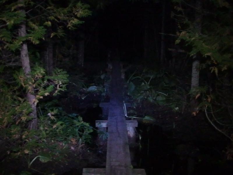
Along the long, dark boardwalk
Night hiking is something I've started doing since moving to Arizona. The desert temperatures are more reasonable before the sun is up and I can get back to the house to help out with the boys before too much of the day has passed. Night hiking in the Midwest was quite different, though. The thick forest hid a lot from my headlamp. Also, moths and bats seemed to be pretty darn active on Isle Royale, startling me many times over. I didn't know what I'd do if I bumped into a slumbering moose on the trail.
There was a reason for being up and going this early. I wanted to watch the sunrise from the top of Mount Franklin, some three miles from my campsite. A steep three miles. I had left Lane Cove just after five in the morning, which should give me plenty of time to cover that distance. Or so I hoped.
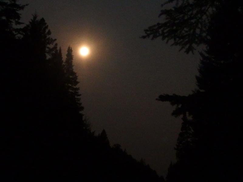
Full moon high over the swamp
When I reached the third swamp I stopped and dropped my heavy pack. I needed a refill on water. In order to jump start the day I had already drank a full liter and downed some snacks before getting too far out of camp. I bumbled down to the water's edge, disturbing yet another sleeping toad on the way, and pumped out of a gently moving stained pool. Without forward motion the night noises were again magnified and I moved quickly and carefully.
Tonight's full moon shown down bright, almost too bright compared to the dark of the woods. I had hoped that it would illuminate my path and make the way easier. First the thick clouds and then even thicker woods dashed that hope. I only saw its light when a swamp opened up the trail and then it only made the dark lumps in the distance that much scarier. The last thing I wanted to see out here was a moose, especially one startled from my headlamp, and the dark shapes in the moonlit swamps set me on edge. They were probably small shrubs or clumps of grass, yet I eyed them carefully and soon moved on.
I felt pretty good when I reached the top of the ridge, much better than I had yesterday. Hydration and cool temperatures helped make that climb painless. I still felt my pack, all forty-ish pounds of gear and food heavy on my shoulders, and a thin slick of sweat covered me, but I was already on the Greenstone. Not even seven in the morning and I was already on the Greenstone. With a happy sigh I pushed west towards Mount Franklin.
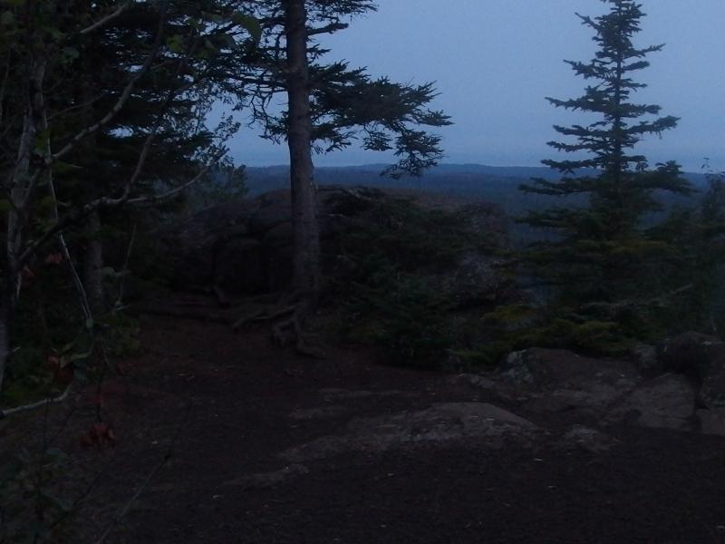
Predawn light on Mt Franklin
Soon I learned two sad truths. There is no view of the eastern skies from Mount Franklin, no way to watch the sunrise. Sure, there are great views out over the north and west side of the island, showing the dark lake and long islands off the shoreline. And nothing towards Rock Harbor until you traveled further down the trail. Second was that thick cloud cover that had hid the full moon from me earlier. Everything to the east was a thick grey blur outlined in bright hues. My early morning trek to watch the sunrise was a bust.
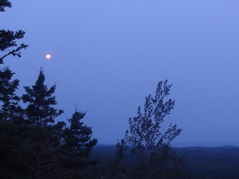
The full moon high up in the morning sky
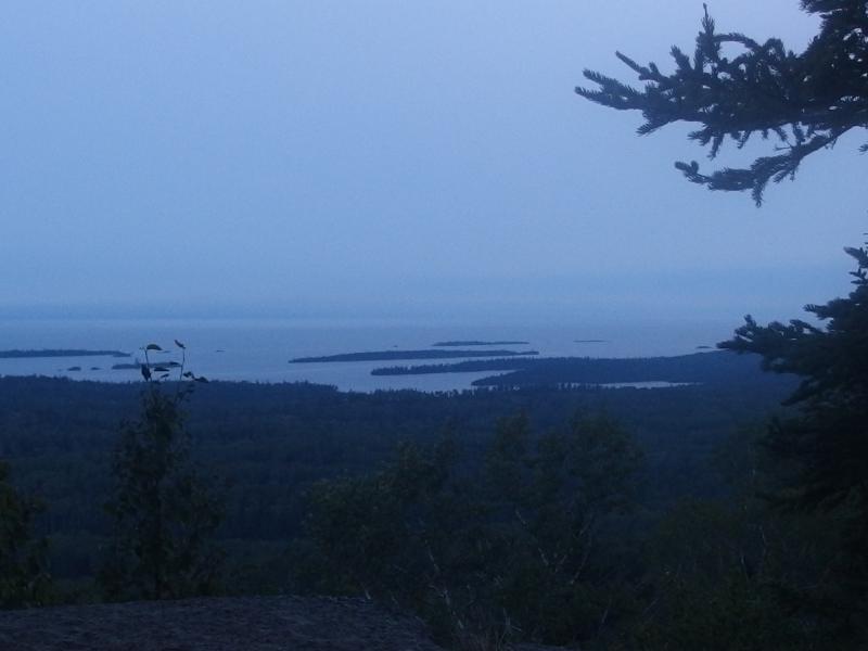
Looking back down over Lane Cove
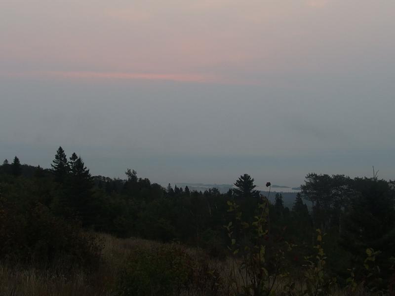
Fog and cloud hanging over Rock Harbor
There was little reason to stop here. Without a view of the sunrise I would only be wasting time by eating breakfast. Mount Ojibway was a mere two-and-a-half miles to the west and would be easy to get to within an hour. Maybe the sun would be breaking free of the eastern fog by the time I reached it.
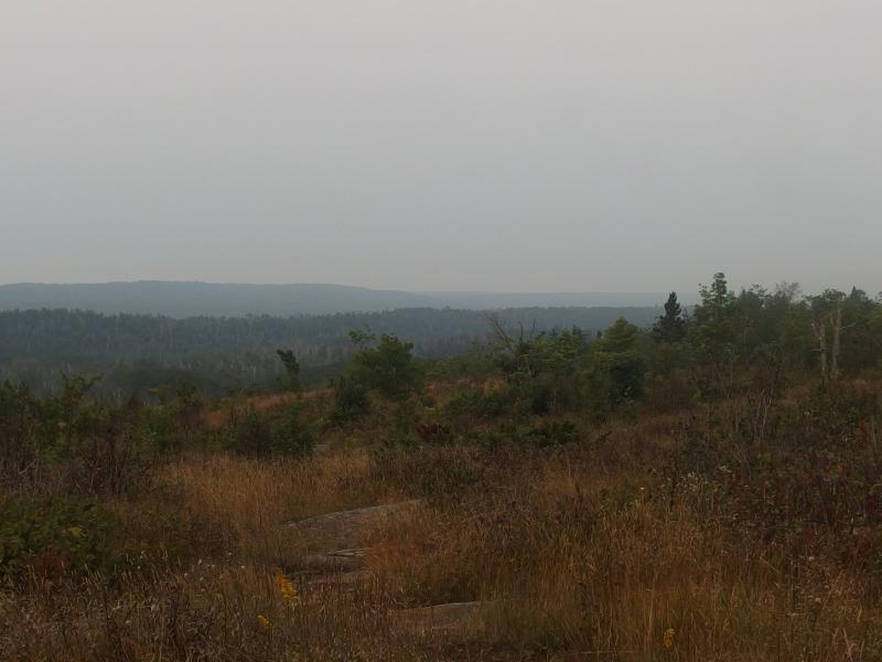
Scrubby growth along the Greenstone Trail
Compared to yesterday's hike up from Rock Harbor this trail was straight up easy. There were a few small bucks here and there, and some half-grass half-rock bluffs to cross over, but most of the hike was through sparse forest. I cruised quickly, slowly getting more used to my trekking poles. Outside of using them for ascent and descents I was interested in a using them to help propel forward, increasing my travel speed. This took a bit getting used to.
The idea is to use rhythm by alternating (left leg moves forward, right arm swings the pole forward) and plant the tip just behind the heel moments before the foot hits the ground. Then you can use the extra momentum of your arm, as well as some push if you want, to propel forward faster. I'm not very coordinated. Every time one of my poles got tangled I had to physically think about what I was doing, an annoying distraction from the hike, and I soon came up with a compromise. If I just used one pole it wasn't so bad. For much of the hike between Franklin and Ojibway I would depend on a single pole, then the other, alternating between the two every couple dozen steps. Hopefully these things wouldn't continue to be a distraction over the next week.
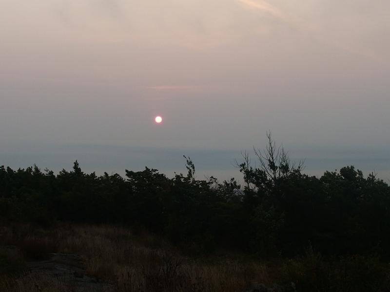
Sun fighting through thick clouds
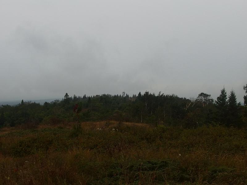
Fire tower in the distance
A dim, pale dot began to fight through the eastern clouds just as the Ojibway fire tower started to come into view. It wasn't bright enough for me to see my shadow yet it still gave me some hope that my entire day wouldn't be a foggy wander. Soon I was standing under the tall tower. As soon as I set my pack down my teeth began to chatter in the brisk wind on the exposed ridge. Moving I wasn't cold, but standing still with a sweaty shirt was a different story. I gave my sweat five minutes to dry off before putting on my jacket and preparing a simple oatmeal and coffee breakfast. As the hot water soaked into dry oats I looked around, cupping the small cup of coffee.
Compared to the busy trails of yesterday I had not seen a single person so far this morning. With the exception of the fire tower and trail there was no sign of humanity from here, no boats or motors or houses. It was fantastic. Just me on the Greenstone and a low, thick cloud layer. I wasn't deep in the island yet - Daisy Farm was less than two miles down a spur trail and probably had dozens of people just starting to stir - and I already had the kind of solitude I was hoping to find this trip.
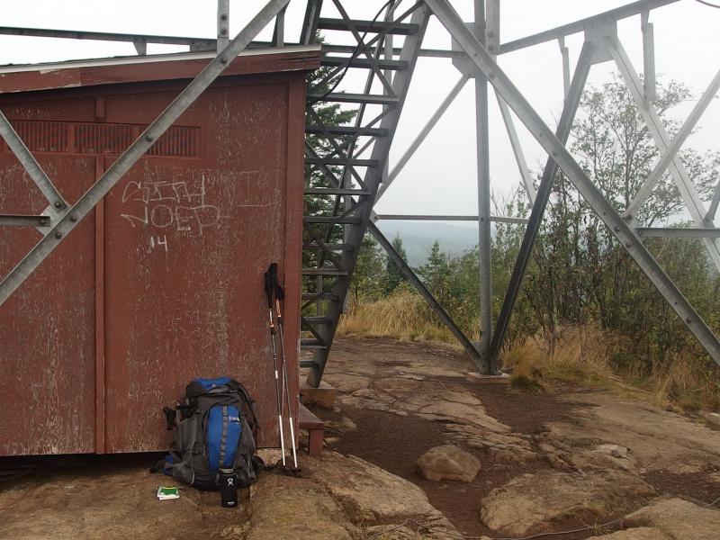
Breakfast break on Mt Ojibway
Breakfast was a leisurely affair followed by me checking over the map and writing some notes in a journal. It took close to an hour before I finally climbed up the fire tower. The top observation deck was locked off, probably from concerns of vandalism, so I had to be content with views from the metal staircase. Which weren't bad. They gave me clear sight down to the fiery sunrise happening down by Rock Harbor, a bright reflection with no source. The rest of the island was shrouded in low clouds. A few miles away there was a lake, Sargent Lake, that was barely visible under the dull skies.
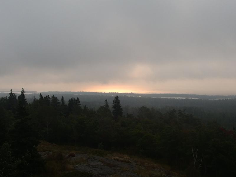
Fiery view over Rock Harbor
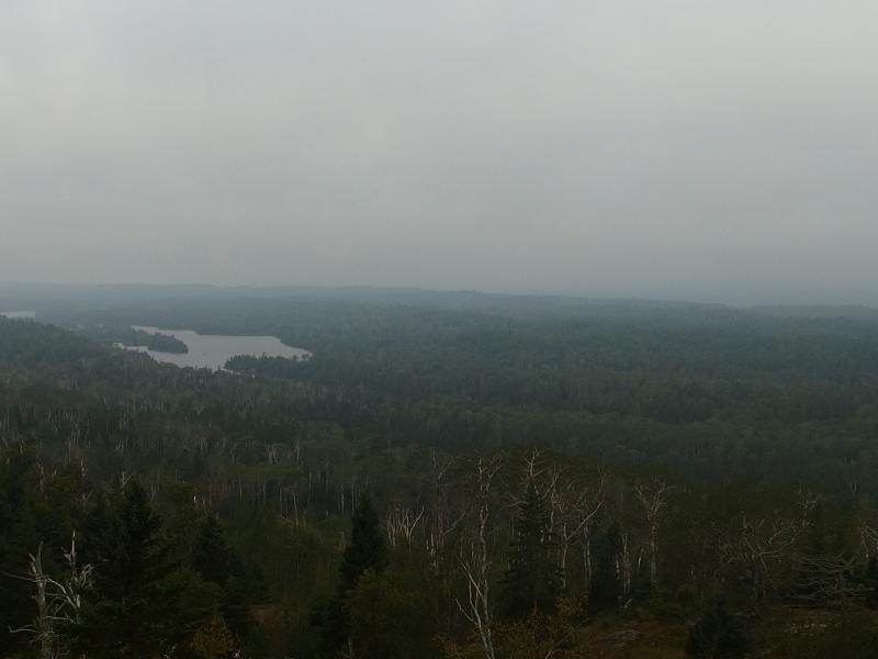
Thick clouds hanging over Sargent Lake
Time to move on. Or so I guessed. I pulled on my pack and headed west without a clear idea of what time it was. I had no idea where my alarm clock was. It should have been in the front pocket of my pack, but it wasn't. Did I leave it behind at Lane Cove? That would put a large hamper on the rest of my trip. I didn't truly need to know what time it was as long as I had vague ideas of sunrise/sunset… It would just help a lot while making trail decisions and getting decent morning starts.
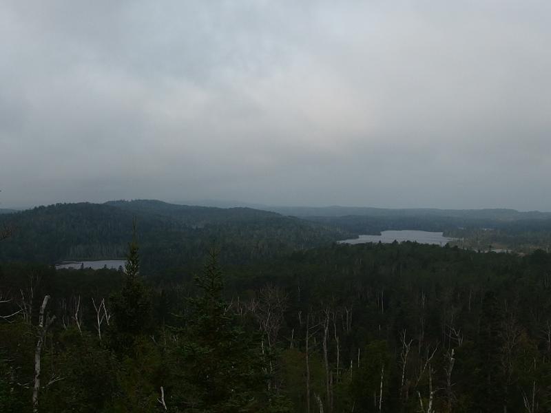
Lakes, hills, and clouds on Isle Royale
Another mile and change and I stood on the second junction to Daisy Farm. There are two paths that connect that campsite to the Greenstone, one that leads right up to Mount Ojibway and one that connects a short distance west. I looked closely at the ground for prints. Nothing fresh. It was at least two hours past sunrise and, as far as I could tell, I was the only moving person on the island. It was a refreshing thought. I pushed onto the next leg of my hike, the four miles between this junction and Chickenbone, with less than a half liter gurgling behind me.
After this junction I spent more time in the woods and mud than out on open bluffs. Which wasn't bad, it was just a change. When I did get a view I did my best to guess my position. Sargent Lake slowly passed by to the right and Angleworm Lake on the left. I couldn't wait to get past Sargent. Beyond that lake was Chickenbone, where I'd turn off the Greenstone Trail and refill my water and eventually be on the Minong.
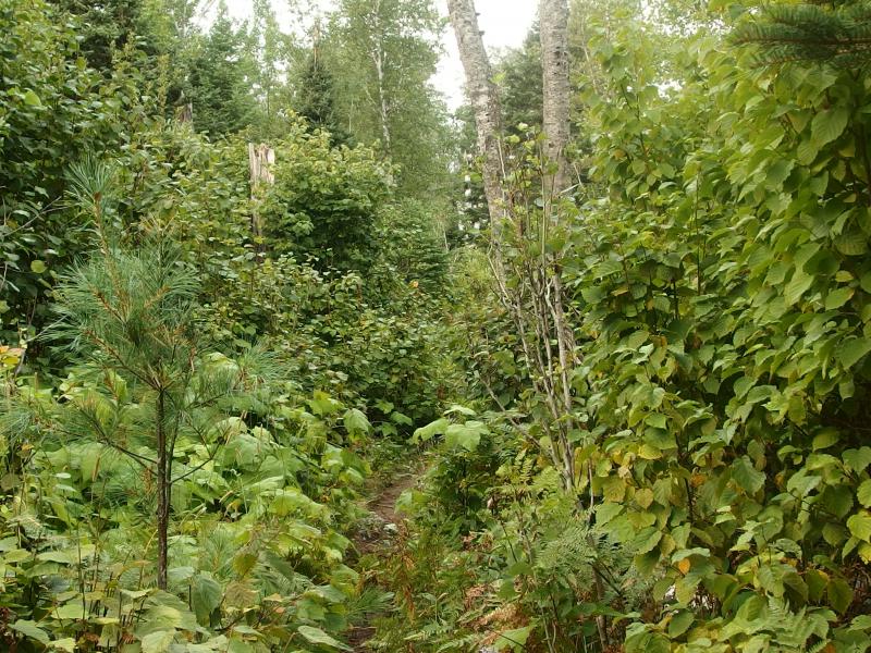
Thick growth on the Greentone
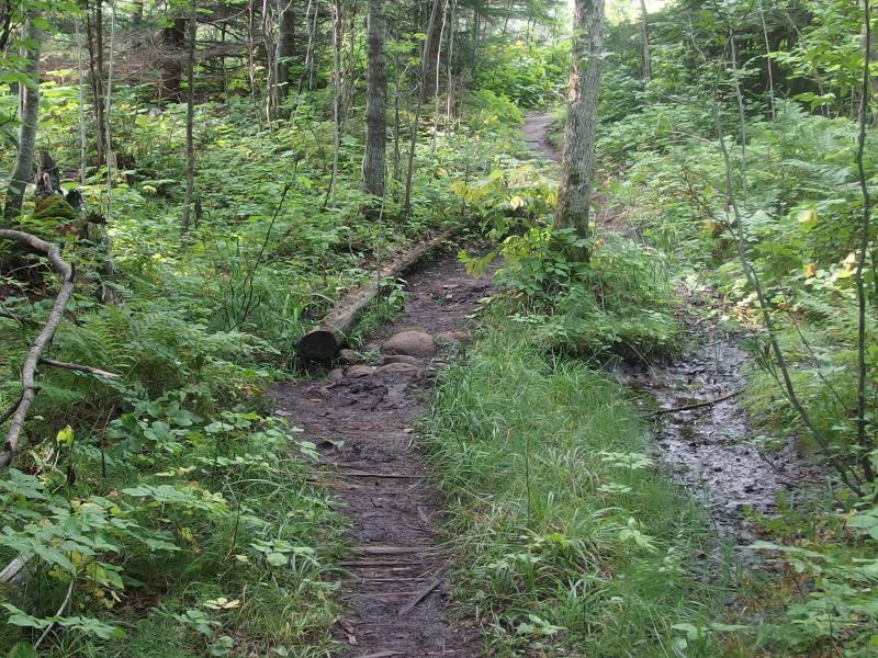
A muddy mess on the trail
It was on this segment that I bumped into my first fellow hiker. He had a large pack, trekking poles, and a serious-looking boonie hat. This guy had been places. I roped him into a conversation and soon learned that not only had he started this morning from McCargoe Cove, meaning a respectable sunrise start, but he had just came off the Minong. I spilled half of my route to him, the most I had told anyone except the ranger, and he didn't look confident. My fourth day was a long trek from Little Todd to Huginnin Cove, a good twenty miles long, and he highly recommended I find a way to trim that down. The campsite at North Lake Desor sat five miles into that leg and going straight to Windigo would cut another three miles off. I thanked him for his advice and pondered options as we continued our separate ways.
There was no reason I couldn't do North Lake Desor. From Todd Harbor to North Lake Desor was eleven miles, a good day. This would cut that long fourth day into two more manageable chunks. Yet it would interfere with one of my half-baked dreams for this trip. I wanted to spend every night on Isle Royale at a Lake Superior campsite. I wanted to wade in Superior every night, drink its waters in the evening (from a different area than where I swam, probably), and fall asleep to its waves. Decisions and dreams.
I bumped into one other person before Chickenbone, a man doing a shorter east-end loop who started from East Chickenbone less than an hour earlier, and then started on the steep descent to the lake. Much of the descent happened before the junction itself, something I was surprised to see. I had assumed that the Greenstone Trail would stay up near a thousand feet the entire way, though a quick look at my map would have shown me how many times it dips low along the length of the island.
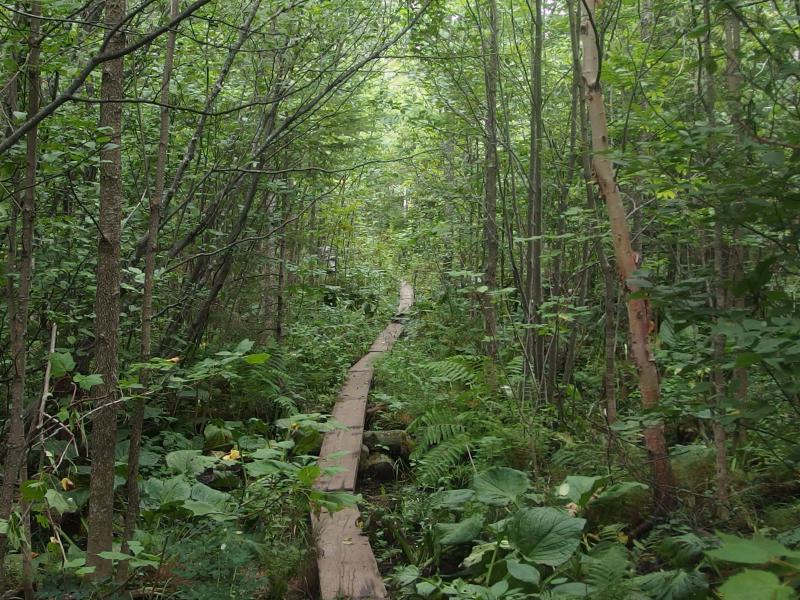
Winding boardwalk through thick brush
By now the sun was beginning to shine in earnest. The cold, damp forest was slowly heating up. Dropping down off the ridge and entering the thick forest around Chickenbone Lake felt like stepping into a sauna. There was little breeze here, just the hot and close forest, and the light sweat I had through the morning erupted into a dripping jungle-level mess.
With only a half liter left over from breakfast I had done my best to conserve water up on the ridge. Now I sipped regularly and, when it emptied, debated wringing out my shirt into my mouth. Eventually I needed to get used to this humidity, right? At least the lake was pretty. A long section of boardwalk took me right along the shoreline and I kept a sharp eye out for the moose that never materialized along the lake edge.
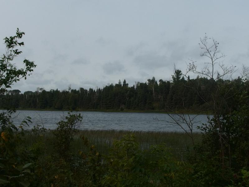
Along the shore of Chickenbone Lake
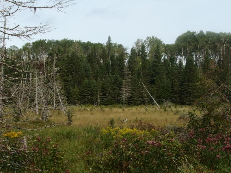
Colorful swamp outside of Chickenbone
After the lake was a series of swamps and boardwalks that I thought would never end. Little hills separated wet, muddy slides and mossy boards along the north side. Checking the map was tempting, just to know how long this leg was, but I resisted. Soon I'd be crossing the outlet from the lake, the one that flows down to McCargoe Cove, and after that would be a short trail down to the cove itself. Knowing if I had a half mile or a full mile left wouldn't change that.
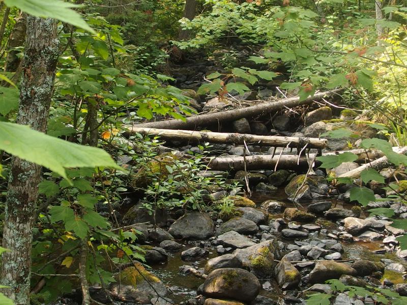
Little outlet creek jumping over dark rocks
It ended up taking close to an hour to cover the short leg and reach the outlet creek, an annoyingly long time in the hot, close brush. When I reached the creek I quickly plopped down and pumped a full liter and drained it. The second liter was much harder to pump. Between this dirty little creek and the morning swamp over at Lane Cove I had successfully plugged my filter. Staying here too long to clean the filter or, as much as my stomach disagreed, eat lunch didn't make much sense. McCargoe Cove was a half mile to the north. I swung my pack on and, swigging water every couple of minutes, headed over to the portage trail and up towards the cove.
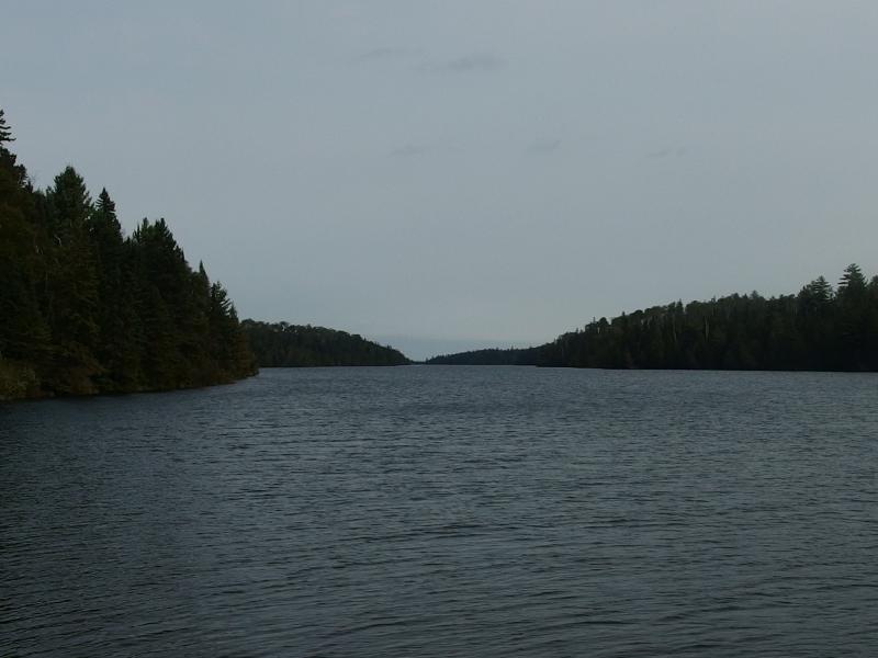
On McCargoe Cove
An older couple had taken over the dock and picnic table here, though they seemed friendly enough to share if I had asked. I didn't. I wished them a good day and headed to a rocky point and crashed. Before taking out my lunch I scrubbed down my water filter (yes, I did bring a brillo pad on this trip) and easily pumped from crisp Superior water. It tasted fantastic. With that done I pulled out the little bag for lunch and relaxed.
It was just after twelve and I had already clocked over thirteen miles for the day. Not bad, though I wasn't sure what the next seven would be like. I still needed to climb Pine Mountain, the start of the Minong Trail, and then follow the ridge west to Todd Harbor. Stopping here for the day was tempting. It wasn't too late to change my plan, to cut my mileage short. A simple Minong/Greenstone Loop would be much easier to do in nine days. As I reviewed the map, trying to figure out how tough my afternoon was, a flock of fearless geese strode up from the dock and strutted towards my rocky lunch spot. Guess it was time to move on.
Heading up from the shoreline under the fully sunny skies I meandered a little at the camp map, trying to figure out which path would lead me to Minong, when a friendly voice called down to me from one of the shelters. He advised me to swing over by the group sites to find the connecting path. I knew he was half right - there are two paths that head through the McCargoe Cove camp to the Minong Trail - but it beat wandering through occupied shelters. As I walked over to the group sites I looked around, curious. Almost every shelter was taken by people who were obviously not backpackers. Then it clicked. Voyageur II swings by this spot every couple of days. If someone wanted to camp without bringing a tent and was looking for a spot more rustic than Windigo or Rock Harbor this spot made sense.
This kinda disappointed me. I had hoped to use a shelter a few times on this trip as a break from tent camping, a way to stretch out a little after a hard twenty mile day. And many of these shelters were taken by people who were only interested in a little bit of day hiking if anything, who would be staying here for a couple of days in a row and squatting on their shelter. Well, to each their own. I guess it was just as well that I wouldn't be staying at this mostly-full campsite.
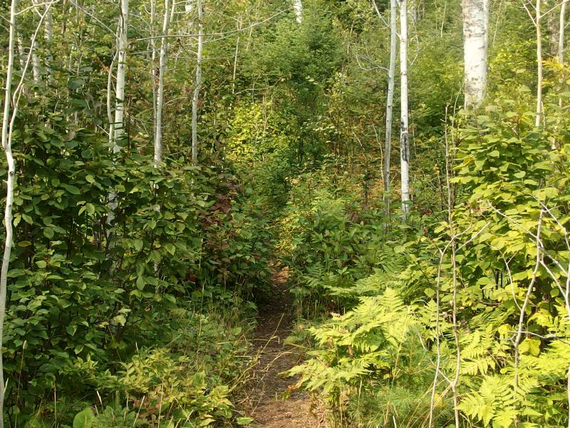
Starting up the Minong Trail
I passed the group sites and started up a grassy slope that was not quite as rugged or crazy as I expected from the Minong Ridge. A mile into the trail and I came upon a junction. An abandoned mine to the left, a steep climb up Pine Mountain to the right. Feeling rested by lunch I decided to check out the mine, thinking that I had plenty of daylight left to backtrack up the trail.
The first thing that came into sight was a deep hole in the ground surrounded by a cedar fence. It looked to be twenty feet deep or so with plenty of clutter hiding the bottom. Interesting, not terribly exciting. I moved on and soon came upon something more exciting. A second hole, almost as deep, but with no fence and a well-worn path to the bottom. I dropped my pack and headed down.
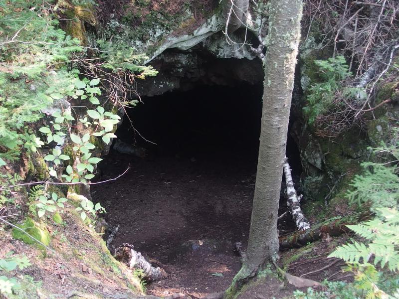
Easily accessible mine shaft
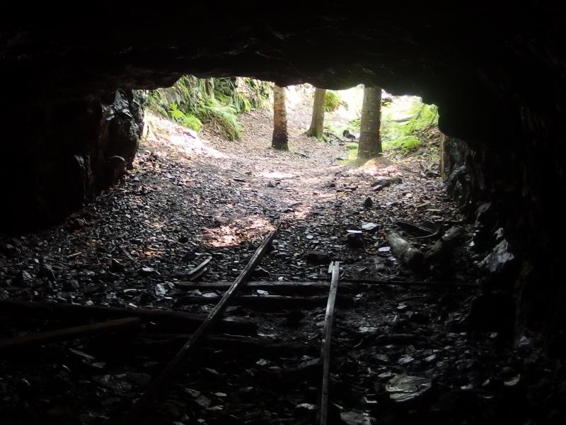
Looking out from the mine
When I reached the bottom I learned two things. The two holes were connected via a dark and half-submerged connecting tunnel. I wasn't brave enough to wade through to the other pit. The other thing was that this connecting tunnel continued in the other direction and emptied right out onto the forest floor. In fact, there were even rusty cart tracks still on the ground. This was much more than the shafts I had found in the Keweenaw, much more open and easy to play around in. I spent some time examining the ceiling and walls, admiring the veins and miner's marks still left behind, before tracking back to my pack and continuing down the path.
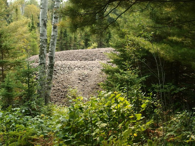
Heaps of tailings in the woods
Below the pits and tunnels were heaps of poor rock stretching out into a swampy lowland. A few informational plaques showed the layout of this mine, where the tailings were collected and how they moved the copper down to the cove through the swamp. It wasn't a big operation, but it seemed well laid out and there was a lot left behind. Beyond the tailings were old blacksmith foundations, the rusted remains of the ore carts, and other knickknacks laying around. Eventually I came to the end of the trail and was left at the edge of a steep hill.
Somewhere above me was the Minong Trail. I could backtrack the short half-loop and return to the base of Pine Mountain… Or I could just climb through the woods. Bushwhacking is frowned upon on Isle Royale and it wouldn't save me much distance or time. It sounded fun. I tackled the steep climb at a half-trot, using the momentum of my heavy pack and my trekking poles like a flailing elephant to clamber up the hill.
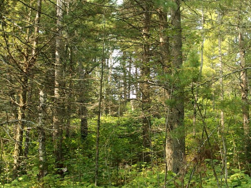
Bushwhack back up to the Minong Trail
There were enough half-trails and animal paths to make the way up reasonable. And it was so short, less than two hundred feet of climb, that the off-trail scramble was over soon after it started. I wandered over for a good look from the peak, curious what could be seen from the top of the low Pine Mountain, when a man and his son came back along the trail. They were day hikers from McCargoe Cove and recommended that I check out the view ahead over Otter Lake. I thanked them and continued on. The views from here anyways.
This trail was pretty nice compared to the morning hikes. It was mostly pine, rolling up and down rocky outcroppings, with a few views that opened up every once in a while. I couldn't tell if the hills to the south were the Greenstone Ridge or something in the foreground, but the north view was obvious enough. Beyond the swamps and shoreline was Lake Superior, so close I felt I could throw a rock in it, and across that were dark shapes that could only be Canada.
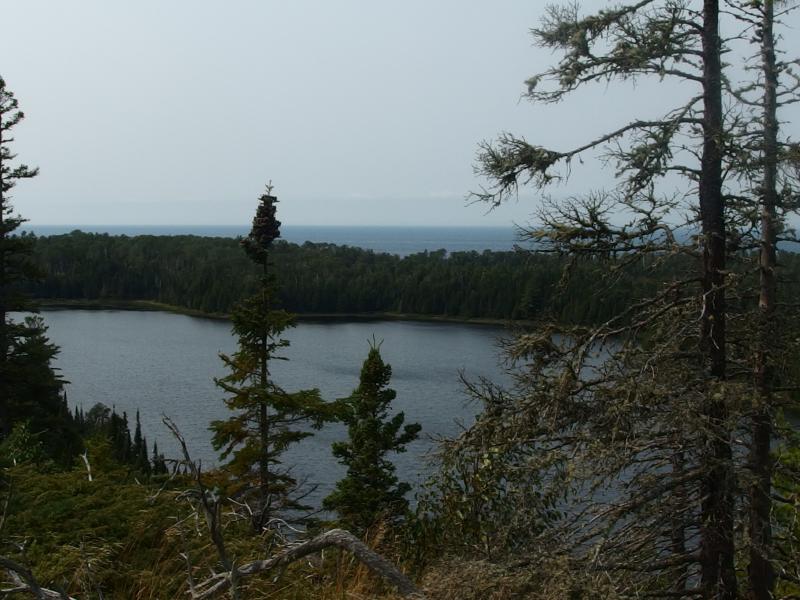
Good view over Otter Lake
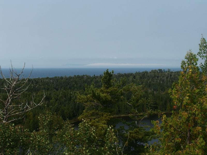
Distant dark mounds of Canada in the clouds
After the view of Otter Lake the ridge began to calm down, slowly heading downhill between swamps and through thick forests. There were still a few little bucks to deal with, small ups and downs to remind me that I was on the Minong Ridge, just nothing like the climb up Pine Mountain. My legs, already tired from the long morning, began to complain. Twenty miles with forty-ish pounds was turning out to be a fairly hefty task.
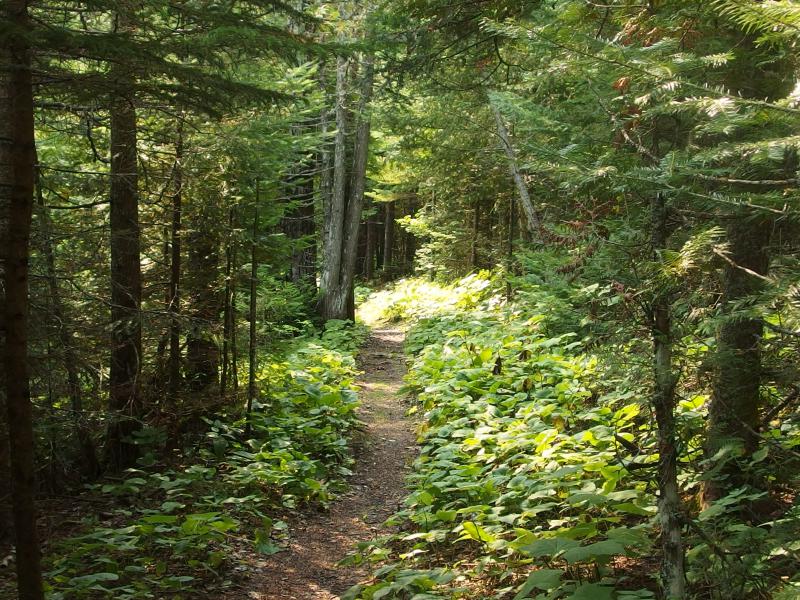
A pleasant, easy trail to walk on
About two miles from Todd Harbor I stepped on a rock that twisted underneath and fell hard to the my left. My poles took most of the force and kept me from crashing all the way down. I stood up gingerly, testing my weight, and felt a warning tinge from my left knee. My damnable knees. Well, I still needed to get to camp. Using the poles together I shifted much of my weight off that leg with each step, swinging them like mid-height crutches, and carefully hobbled forward. It didn't hurt bad, not worth calling off the rest of the day, but I didn't want to put too much weight on it.
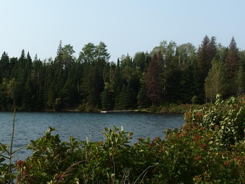
The dock at Todd Harbor
Todd Harbor snuck up on me. One minute I was swinging along the trail, wondering how awkward I looked, and the next I was staring at an occupied shelter. A quick look at the metal camp map showed that there were a few individual sites along the trail, with little privacy or protection, and three nested group sites over by the dock in a thick cluster of trees. Those group sites looked clutch. I walked over to them, noticed that Site 1 was already taken by another solo hiker, and took Site 2. It was worth the chance of being relocated to get that extra bit of privacy.
As I setup the tent to other gear out in the open air to dry out the dew I noticed something dreadful. Not only was I missing my alarm clock, my sleeping pad was also gone! Again, not a necessity, but a pretty serious inconvenience. Desperate I tipped my empty pack upside down and shook it vigorously - and both the clock and pad tumbled out. I had left behind at Lane Cove. That, that was a relief.
I wasted little time after that. I peeled off my sweat-damp clothes and spread them out on the picnic table to dry, boots were shed and sandals slid on, and I headed down to the dock. I needed to drink water and I needed to swim. With only two other known groups at Todd Harbor, neither of which I had seen yet, I stripped down to my boxers and jumped right in. The shock of cold knotted every muscle in my back and felt wonderful.
The rest of the afternoon was fairly mundane. I had four hours to sunset, four hours to relax and read and cook dinner. I spent a few of them down at the dock, sprawled out under the warm sun, reading and listening to the waves lap the nearby shore. I caught a brief glance of the group at the shelter, a distant flash of color along the lake, but not enough to warrant a wave. As far as I could tell everyone wanted to be on their own, which was fine by me.
As sunset approached I decided to explore a few of the trails that led north from my site. The only thing in that direction was the shoreline outside of the harbor. Carefully I picked my way along the overgrown and tangled path, picking up a Clif bar wrapper from a previous hiker along the way, and found the perfect spot to watch the sunset. I hurried back, made some hot tea, and then retraced my steps to a rocky seat some ten feet above the water's edge.
I sat there, on the shore of Lake Superior, sipping tea and eating coconut chips when I was struck by just how surreal this whole experience was. Two days ago I was in Phoenix, surrounded by mundane comforts and responsibilities and technology. And now I was sitting on a remote and wild island watching the day die, stripped bare of all those things. There was no couch underneath me, no air conditioning, no nearby phone or tasks to distract me from… Well, feeling alive. I sat there, alone, on the shore of Lake Superior and felt dangerously, wonderfully alive.
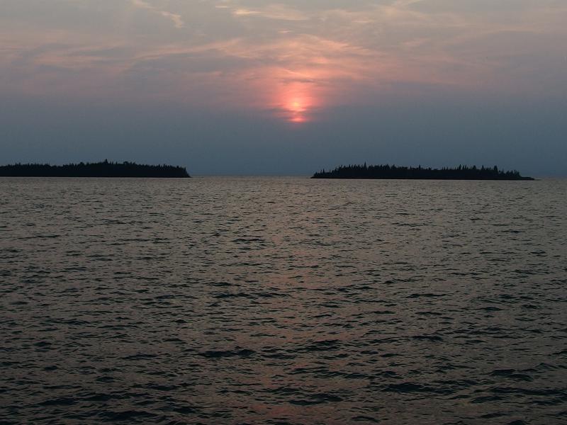
Sunset fizzling out behind thick clouds
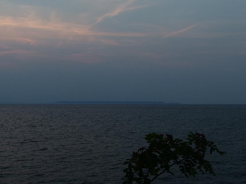
Sleeping Giant over in Thunder Bay
The sunset fizzled behind dark clouds before things got too amazing. I picked up my cup, swallowed the last few cold drops, and headed back to my tent. Before crashing for the night I made one last run to the dock to top off my water and to see how the sunset looked from the harbor. All I saw were clouds and a dimly-lighted forest, though the people at the shelter, who happened to be out enjoying a small campfire by now, probably had a better angle. I thought about heading over and saying hello, should have headed over to say hello, and returned to camp instead.
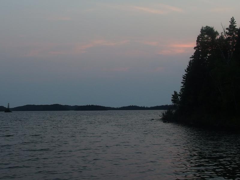
Dark evening light over Todd Harbor
My first twenty mile day was done. Not only was it done, I had smashed my expectations. It was rough going, with a few weak points near Chickenbone and McCargoe, but I had hiked twenty miles in eleven hours with two one-hour breaks and a detour to see an old mine. And now I had a decent foothold on the Minong Trail. I was out of the busy east end and deep in the interior of the island on day two. There were still doubts that I could do this, that my knee was okay and I could hike my route and survive out here alone for nine days, thought they were beginning to fade away.

-
Colleen Emerick
Sep 14, '15
Jake, I truly enjoy reading your blog, such a treat!
-
Jacob Emerick
Sep 14, '15
Thanks Sharon (and mom)! Glad you enjoyed it. Can't wait to start sharing the pictures/stories of the moose :)
Add to this discussion-
Jacob Emerick
Sep 15, '15
I -may have- checked and re-checked my gear multiple times before even leaving Phoenix. Your stories had me petrified that I would leave something vital, like the water filter or boots or something, behind.Yeah about the ridgeline. And even more so on the far end of the island. You get around the Desor/Ishpeming Point area and there is nothing. Errr... spoilers. Anyways, later in this week I would wish for the limited views between Franklin and Ojibway.Oh, and the madman part? That will come back to bite me soon enough ;)
Add to this discussion-
Jacob Emerick
Sep 15, '15
Yeah, the length-of-stay are only enforced during certain times of the year and, even then, may change based on how many people are on the island. I don't remember it exactly, but I feel like the ranger told us that only Daisy and Threemile had restrictions when I first arrived (the weekend before Labor Day). Everything else was open season.
Add to this discussion-
Jacob Emerick
Sep 20, '15
"riddler" - thank you, kind sir.
Add to this discussion-
Jacob Emerick
May 14, '21
Oh wow, 4 weeks, huh? And thank you for the mention of Voyageurs, I had never heard of this park until today and am incredibly intrigued. Thanks Carl, and hope you keep on exploring!
Add to this discussion