Horseshoe Harbor
The road to Horseshoe Harbor felt ancient. Old rocky dirt was pressed hard as cement below my car's tires even though the route wound around several huge puddles that I dared not tackle head on. It was not like other Keweenaw roads, the bumpy and rutted Mandan Loop or the rough washed-out Smiths Fisheries, both of which are mostly loose gravel and sand. This road had been here for decades and, while the years had been tough, was not too bad of a drive. Still, I was excited to see the small parking pull-off for the preserve and get started on this late evening hike.
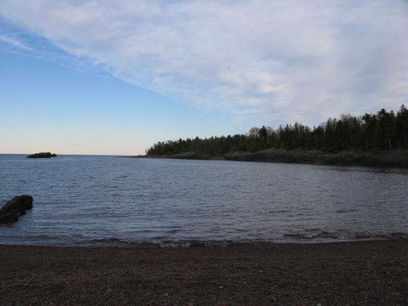
Back at the cobble beach
I've tried to reach Horseshoe Harbor before, many years ago when I lived in Houghton with Katie. We ventured east off of US-41 onto the Mandan, eyes peeled for obvious signs to any of the big spots up here (Horseshoe, Keweenaw Rocket Range, High Rock, etc) and found nothing. Unsure of which fork was which we gave up after a jittery few miles on the road, not entirely sure if we had just driven over a road or a long series of logs. I came this time better equipped with maps and directions and easily found the turnoff (less than a mile beyond US-41's northern terminus) and the parking area (maybe a mile or so down the old High Rock Bay Road) and was standing at the trailhead maybe ten minutes after passing through Copper Harbor.
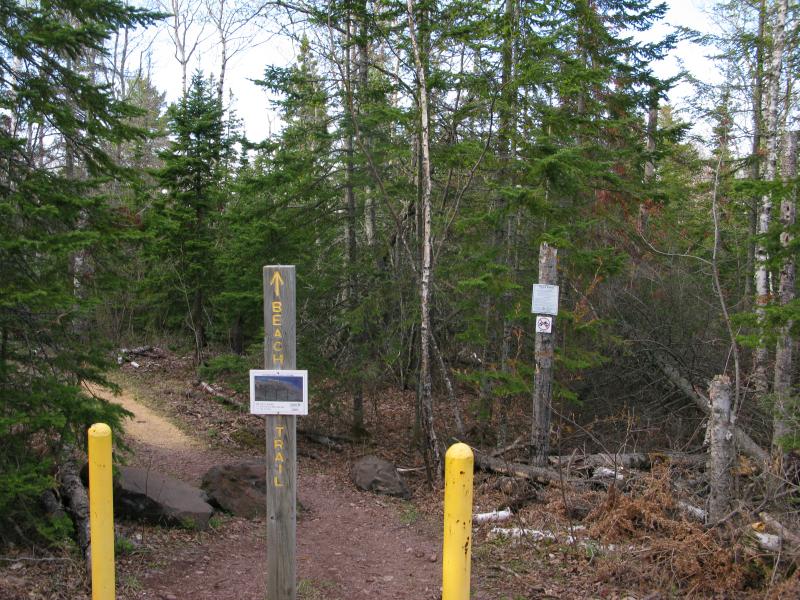
Posts and signs at the trailhead
The sign said no camping. I was a bit disappointed about this, as part of me was hoping on spending the night here, but figured I could find a spot further to the east after the hike. The trail was blocked with large posts and there were no signs of motorized vehicles bypassing, even though the trail was wide and probably served as a four-wheeler track at one time. I did find it odd that that there was no mention of the preserve's name here at the beginning of the trail. The large wooden sign showed up after a few curves to let me know I was in the right spot.
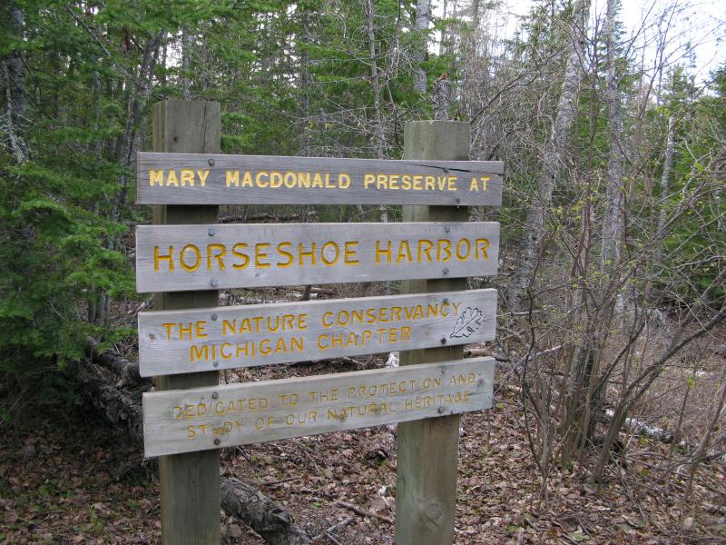
Large sign just past the trailhead
On my way down the worn trail I didn't see any markings on the trees. There wasn't any real need for them. The route was wide, usually about five or more feet across, and traveled over worn rocks and roots. Moss hung in curtains on the trees around me, choking out the green on the lower branches, making a haunting yet pleasant scene around me. I trotted quickly down the path, taking advantage of the easy walk, while taking in the smells and sights of the empty woods.
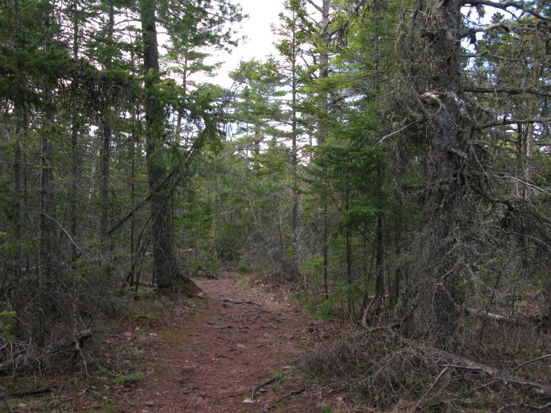
Wide, worn trail
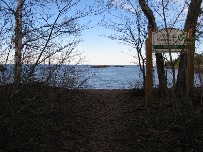
Harbor at the trail end
Eventually the sounds of crashing waves began to float through the woods, distant at first, than rushing up at me as I came upon the bay. The hard path gave way to the loose stones of a Keweenaw beach right before a long, misshapen bowl of a bay, far too small for anything larger than a mid-sized motorboat. I was a bit confused now. Sure, I was on the far side of Horseshoe Harbor Preserve, on the east side of the prominent ridge that sticks north out of the Keweenaw like a flattened pimple, but neither side really looks like a bay. They look like corners at best. Still, it was a pretty sight, especially as I slowly made my way over to the ridge.
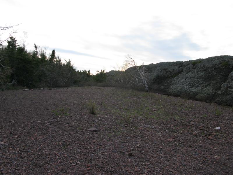
Looking west along the ridge
The ridge is where it's at. A slab of conglomerate rock that's tilted into Lake Superior, it parallels the shoreline on a long line that stretches hundreds of yards. When the shoreline falls away on either side, retreating south to the bulk of land, the ridge continues as bumps poking out of the water protecting tiny little coves (that I still think are too small to be called a 'harbor'). I approached the slab from the east, looking up at the steep and bumpy face that rises over ten feet above me, searching for a way up. Conglomerate rock is not terribly easy to climb. I found a wide crack and squeezed my way onto the ridge, leaning into the climb and hoping I didn't slide back down the craggy rock. That would hurt.
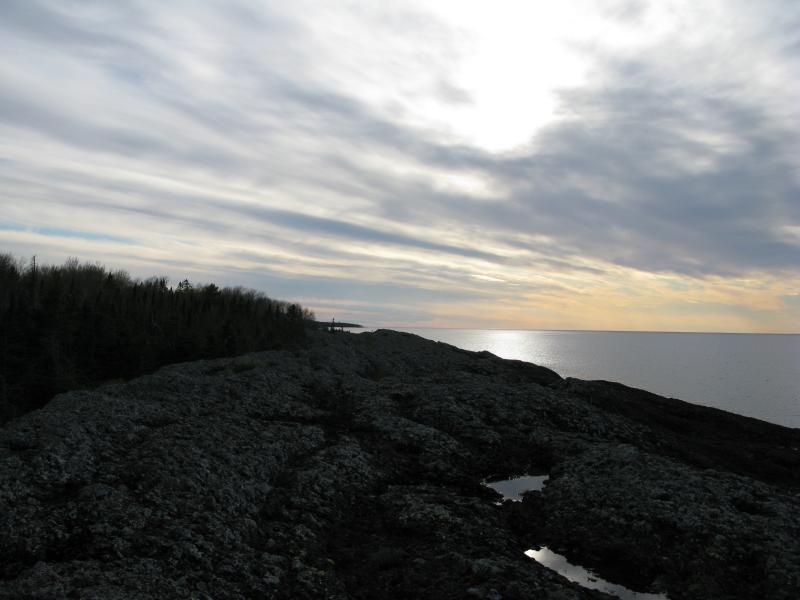
Bright sun over the long ridge
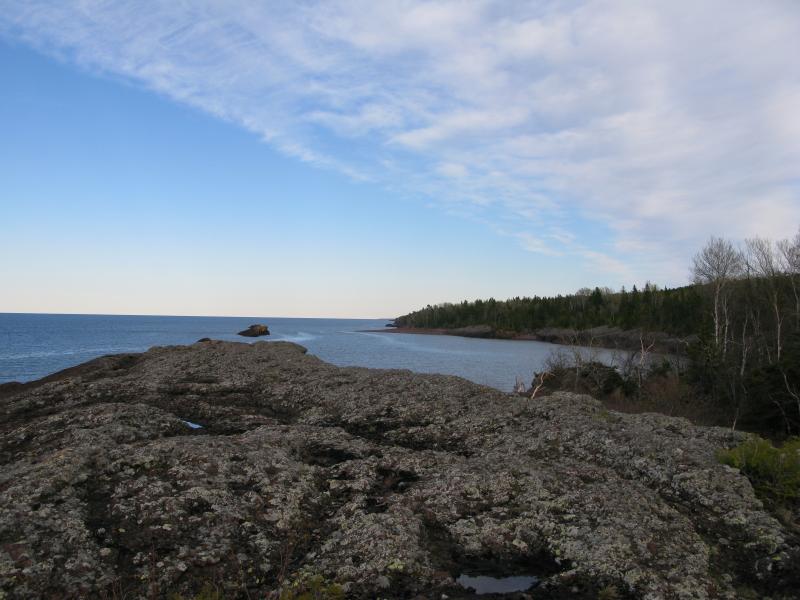
Glance back at Horseshoe Harbor
Once I reached the top I took a quick look around, slowly making my way west. It was bumpy up here, stained with years of exposure and lichens, and I had to watch every step to make sure I didn't step in one of the many small ponds or twist my ankle on a out-thrust rock. The sun hung low to the west, lighting the cloudy sky in bright hues, while the light blue reflected sharply off the eastern cove behind me.
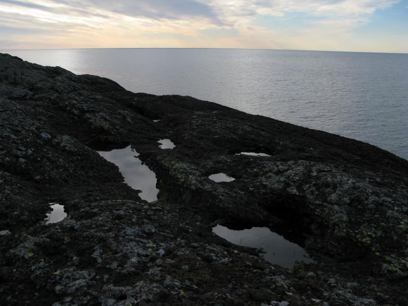
Looking out over Lake Superior
I had hoped to catch a glimpse of Isle Royale from here, far to the northwest, but no bumps showed up in the distance. I've heard that you can just barely make it out sometimes in the distance and guessed that the evening sun was messing with the angle too much.
Heading west I followed the ridge. There was no exact plan here. I'm much more used to a long and adventurous hike to an interesting point, not an easy hike followed by a relatively long (and quite nice) view over Lake Superior. Walking west was difficult enough, I guess. There was at least one big cut in the rock that forced me to jump across, a ginger hop over smooth surface that I handled very cautiously. At times I wandered down as close as I could get to the water (the slope plus wet rock kept me high above the line, though). Too soon I reached the far west end of the ridge, right before it starts to bubble in and out of the lake, and got a great view of the shoreline and Brockway beyond below the dying sun.
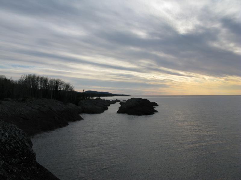
The end of the ridge
I could have kept going, circling back to the shore here and heading over to the real Horseshoe Harbor beyond the ridge. I was anxious about the coming dark. A campsite still had to be found, somewhere east along the Mandan Loop, and I was not terribly familiar with this land. I did not want to be stuck driving on these roads in the dark peering through the woods looking for a good spot. I turned south, jumping off the ridge, and headed back to the trail.
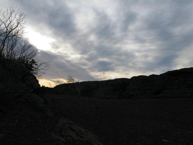
Sun setting past the ridge
Part of me wished that camping was allowed here (and I could tell that people had spent the night by numerous fire rings along the woods). The area was nice and clean, though, relatively wild for being so accessible, and I'd guess that promoting camping would just dirty things up. I left the preserve, heading back to the Mandan and then east for the night, happy to have finally visited Horseshoe Harbor.


Comments (0)