Highland Adventures at Toivola
There's not a whole lot to the town of Toivola these days. Sure, it has a cool name (how much more 'Yooper' can you get than Toivola?). The access roads to Misery Bay and Agate Beach are here too, leading northwest from M-26. Other than that, there is little left to the once-thriving logging town besides a post office and a few aging houses.
I turned left off the highway onto A70, an unmarked dirt road that looked more like a driveway than a public throughway. This road connects with an entire network of snowmobile trails and unimproved logging tracks to the southeast, stretching down the slope towards Otter Lake. The hope was to drive down this road for several miles, past Thirteen Mile Lake and to the site of the old Globe Mine Challenge exploration. Less than a mile a 'Unimproved Road - Not plowed by the Houghton Road Commission' sign and small snow drift stopped me. This was going to be a long walk.
Grabbing my gear I left my car parked at a small turnaround before the sign, probably left for the plows to loop back on the road. It was cool out, more than enough to warrant a light jacket, and it was tough to leave my long-sleeve shirt behind. Striding down the road past the small drift I felt the coolness of the woods enfold me, layers of snow tucked under protective trees slowly oozing out chilling wet fog into the mild spring air.
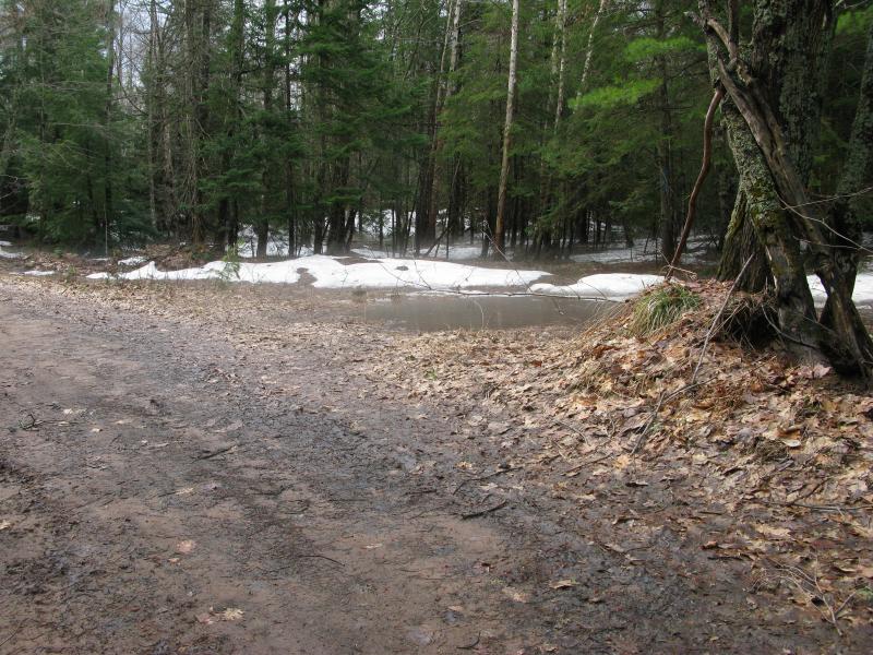
Mist rising from snow and cold water
The road was wide and easy to follow. For a short time I imagined that I could double back and drive after all, plowing through the first small drift (which was barely a few inches tall anyways). Then I saw the puddle. Well, more a lake. The road led straight into a lake.

Giant puddle flooding out the two-track
Water stretched from one side of the road to another, engulfing the shoulders and nearby woods. There was no way my vehicle, or anything that wasn't modified, could cross this. As I made my way across I glanced a few times to the bottom, feet below the surface. It was nuts. There was no sign of draining or side treks, just the drowned road. Driving to Globe Mine the Challenge exploration was out of the question.
Past the small lake the road sprang back up as if nothing happened, continuing between the tall trees. It climbed up and down small rises, wound between a few obstacles, and eventually brought me to the giant pines surrounding Thirteen Mile Lake. I love how obvious lakes and creeks are within frequently logged areas, the untouched, towering pines so wonderfully out of place with the (currently leafless) hardwoods. Cutting off the track I headed to the pines, creeping up a small needle-covered rise and down to the shoreline, and reached the lake just as the sky opened up.
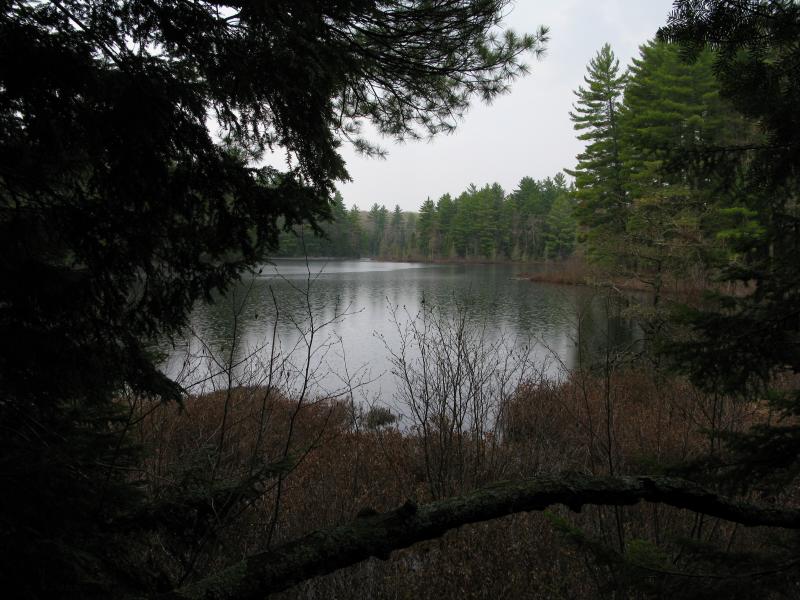
Grassy brush reaching out along the shoreline of T
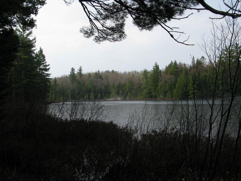
Distant snow and fog on the lake
Few drops reached me beneath the protective pines. Meanwhile, the surface of the lake rippled and bubbled as the countless heavy drops smacked down. Across the way a thick curtain of fog boiled up from distant banks of snow, angry at the warm intrusion. I made my way slowly along the steep bank, keeping just above the waterline, enjoying my dry situation while the rest of the world got drenched. After twenty minutes or so the rain lessened and I headed back to the track. I did my best to avoid the wet undergrowth and drop-laden branches on the way.
Near the end of Thirteen Mile Lake, where the outlet creek starts its long journey down from the highlands, a powerline cuts a swath of forest perpendicular to my route. To the left was swamp and a rise while the right was hidden from view. I scrambled up a small hill and peered down. Flooded wetlands and snow waited down there, a smokey fog rising from the cooler spots. I hoped that this hike wouldn't take me through anything that soggy.
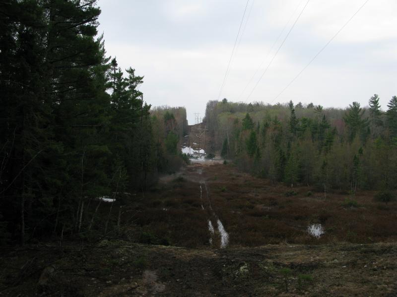
Powerline cut reaching over the lakes outlet
I continued on. Ahead lay Globe Mine Road, a quick jog over that only briefly interrupted my route. Thirteen Mile Creek flowed underneath the road here, a noisy and foaming spring. I assume that the creek barely flows for most of the year, as the lake above looks to be the only source, and that the melt and soaked woods were keeping it busy today.
As soon as I turned back southeast snow and fog rose up with the road. There were dozens of tracks across the surface, all snowmobiles, and it seemed that neither trucks nor ATVs had tried taking this road yet.
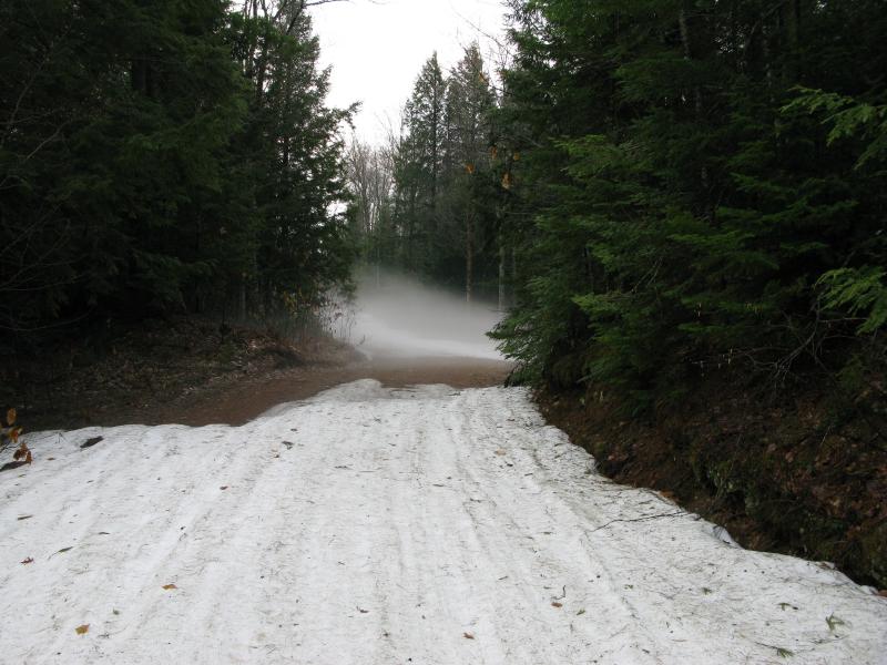
Snow and steam rising from the narrow road
I sloshed over the snowy patches, the white slush pushing aside like wet porridge beneath my large boots. The exposed dirt wasn't nearly as bad, packed hard by the years, and I slowly made my way through the stretches of snow in order to reach the easier strolls. Thirteen Mile Creek passed under the road a few times through culverts that handled the gurgling high waters with ease. A few swamps stretched out, the overflowing wetlands adding to the creek. It was a longer walk, one that I had hoped to mostly skip by driving, but it was a pleasant one.
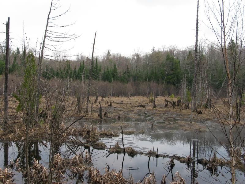
Sickly-looking swamp along the way
By the time I reached the suspected ruins of Globe Mine the Challenge exploration the road had climbed up from the creek and taken a decidedly more dry and stately look. A clearing opened up, probably more for recent logging than hundred-plus-year-old mining. I started to look around, anxious to find some remains. They showed up on the left side of the road. Old foundations covered in years of grass and moss poked out, barest hints of a long-past era.
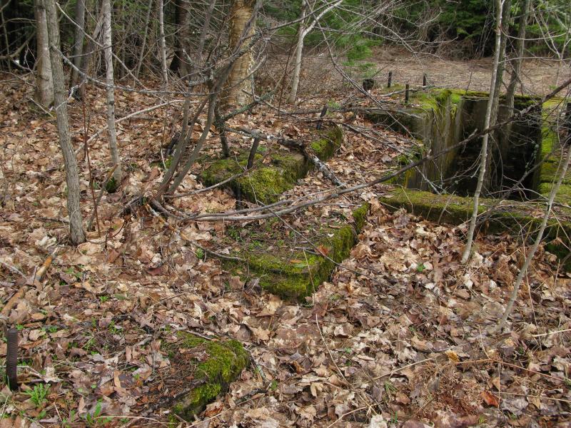
Mossy, exposed foundations at the mine
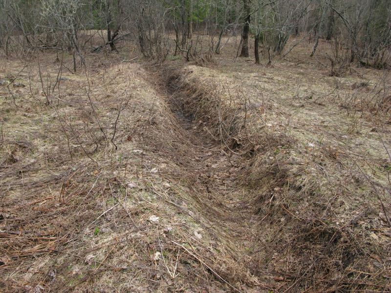
Grassy trench hiding remains and secrets
Not much of an expert of the copper activity, especially this far south of Houghton, I didn't poke around too much. The foundations didn't seem to line up with anything significant, no obvious mounds or caps for a shaft, and nothing else showed up in the grassy open area. A short distance down the road I found the poor rock piles heavily depleted, probably scooped up and moved around to shore up this and other logging roads. I had noticed the occasional odd rock poking up along the dirt road, dark rocks lined with quartz veins common to copper mining.
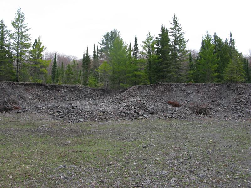
Remains of the piles of poor rock
My next destination was a long distance to the east, a possible waterfall on the Sante River. I could double back and take a logging road north of Pine Lake, about a mile behind me, or I could stick to this road. I decided to take my chances. There was a small chance I'd find a road east through the woods. I wasn't in the mood to bushwhack, not with the unexpected extra miles of this adventure, and I didn't have reliable maps of the area. I left the mining ruins behind, following the downward sloping road and the creek, keeping an anxious eye on the rising woods to my left.
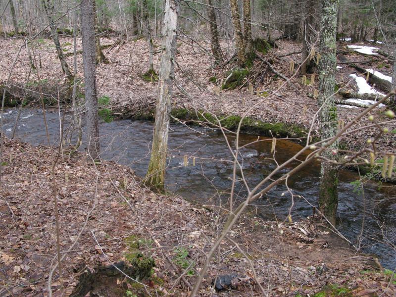
The deep, rushing Thirteen Mile Creek
When the creek stayed on the right side of the road I knew I was off my map. It was supposed to stay on the left side. I started to get worried that I'd go too far south, beyond the suspected waterfall, and would get confused in the swampier downriver. When an overgrown track headed east I happily took it, more than ready to start heading east. When it ended I pushed forward, climbing up the hilly woods with legs sore from yesterday's hikes. When I bumped into the pond I stopped short. It didn't belong here.
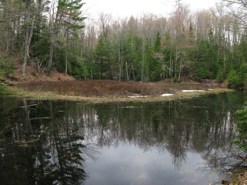
Cold, dark waters
I could feel the cold air pour off the water towards me. The only ponds I knew about were directly below Pine Lake. I was much further north than I should be and I had a long ways south to go yet. With a heavy sigh I turned and made my way around the pond, than the next one, trying my best to walk southeast through the tangled forest.
My bushwhack led me to a logging road, and this road branched a few times into other ones. Each fork was a tough choice. I didn't really know where I was, with no map of the maze of tracks that I was in now. For a while I tried to stay east, and then south. Somehow I ended up on a narrow sandy ridge between two deep seasonal creeks. The track started to fade away as the ridge narrowed, forcing me down to the left, down into a foggy, soggy creek.
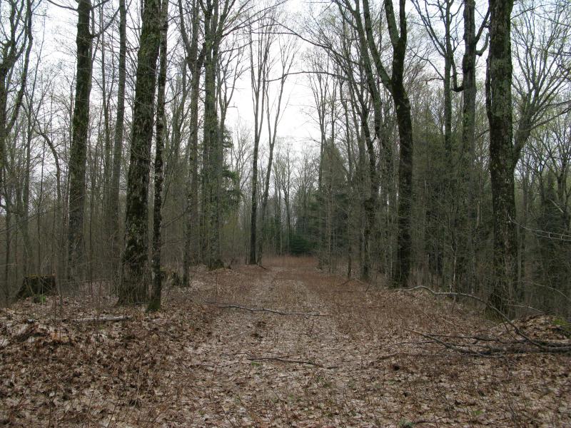
A narrow track on a narrow ridge
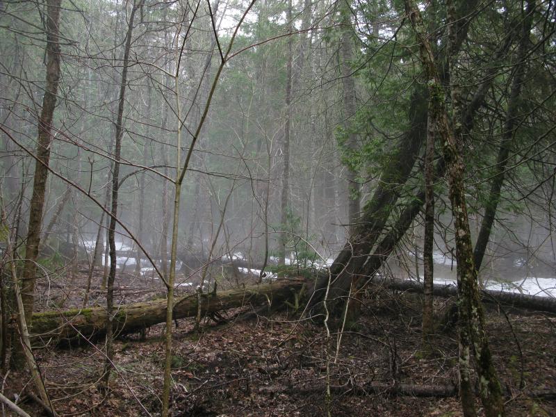
Cold mist rising from the seasonal creek and snow
This creek would flow into Thirteen Mile Creek, and if I wanted to eventually find Sante River I would have to continue east. I climbed up the other side and was greeted by another creek far below. Three of these I crossed, sliding down and climbing back up, before I finally bumped into flat land and a narrow track. Thankful for the break I followed it without question, still heading east.
The land wasn't really supposed to be flat. There should be a gentle slope down to my right by now. The large pools of sitting water, some intruding onto the track to force detours, and the even horizon spoke otherwise. By the time I bumped into a wide dirt road running north-south I was sure that I was now below the waterfall and that Sante was right in front of me. I turned left for a time, then cut down off when I heard the rushing sound of the moving water. Sante River lay below me, winding and twisting within a deep valley. There was no waterfall.
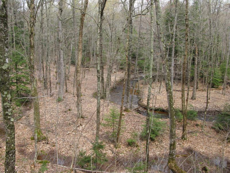
First look down at Sante River
Convinced that the falls were upstream I tumbled down the valley and followed the creek, crossing (with some difficulty) when one side got too steep and avoiding the few banks of snow. After a half mile I checked my bearings. I was still too far north, even after all my attempts to cut south on the tracks and through the woods. The waterfall, if it exists, would be at least a mile behind me. I had made another bad choice. Tired and wet I turned and headed up the east bank. There was a track here that would take me back up towards Toivola. I was done searching for the potential waterfall.
The road climbed up in steps, up 50, down 10, up 100, down 20. I walked and walked in silence, only the occasional bird or rustling leaf to disturb the quiet of the woods. As I neared Pine Lake, which sat between me and my route in, a few gunshots rang out in the distance. Someone was out on a range. Each step brought me closer and I started to get worried that I would walk right through their lines of sight. I was happy to see a track open up to my left, just a quick jump over the upper Sante River away, that would take me away from the shots and back towards my car.
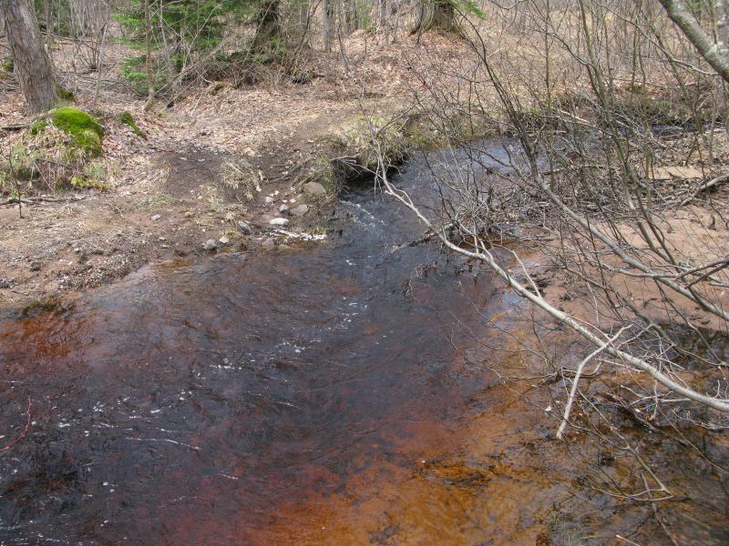
Upper reaches of Sante River
Recent logging confused the roads north of Pine Lake. Where once there was a single track leading west, just kissing the top of the lake, there are now several interweaving roads. I chose the one that looked the oldest. It climbed in places and dropped in others. On one drop I could make out a flash of water to my left. A few cautious steps over some snow banks took me to the north shore of Pine Lake, a bright shimmer in the afternoon sun.
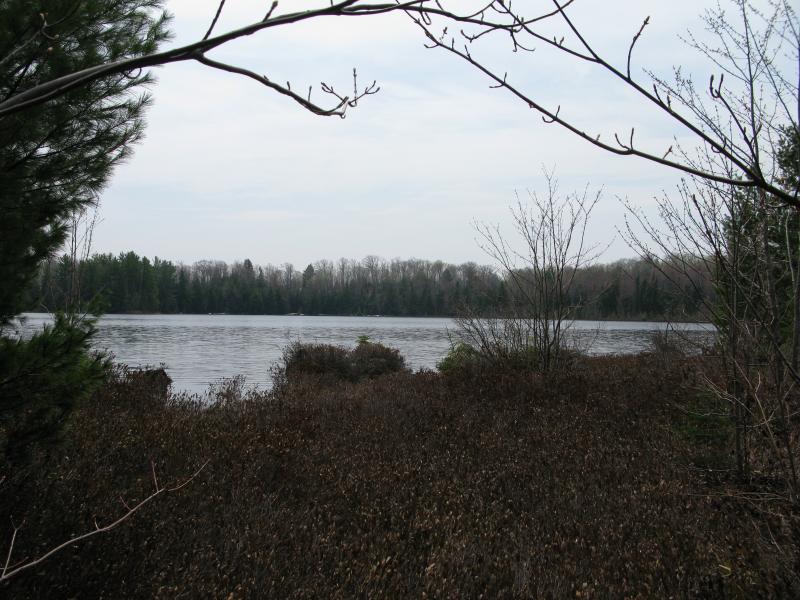
Sunshine bring over Pine Lake
From here it was only another mile back to Globe Mine Road and a few more miles back to my car. I made the most of the return, scooping up snow from the remaining banks to crunch on and observing how different things were now. When I started the hike, many hours ago, it was rainy and cold. Now it was warm, almost hot, and the mid-afternoon winds had whipped away the clouds and fog. Thanks to the poor condition of the road the hike had more than doubled in length and I had totally missed out on finding a possible new waterfall on Sante River, but the mine was cool and the weather had really changed for the better. I passed a tall cluster of pines, a group that I had somehow missed on the way in, and smiled.
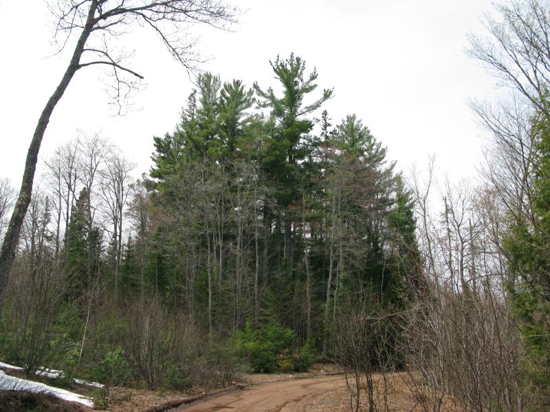
Towering pines over Globe Mine Road


-
Jacob Emerick
Jun 4, '13
Ouch - that's what I get for trusting the Google Maps too much ;) Cleaned up the post a bit - thanks for the heads up! Is there a lot to see up by Kitwen? I was half-thinking of doing a hike out there, partly to lurk around the outside of the camp, partly to explore the ruins outside of Painesdale. Had no idea they were there until this spring, been at least eight years since I last drove down Goodell Road.
-
dcclark
Jun 5, '13
It's strange -- Google used to show A70 as "Challenge Mine Road". That must have changed just recently. Only the Globe is *right* next to Kitwen, and there's not much to see there. (Also, be careful -- it's closed but not abandoned, so it may be monitored still.) A bit farther north, there is a ton to see at Painesdale (Champion mine) and then Trimountain and Baltic. Those are good hikes and worth seeing -- maybe hike right up the snowmobile trail and then head into the woods any time you see something.
-
Jacob Emerick
Jun 10, '13
Have you ever run into trouble near Kitwen? I'm only curious because the Globe is so close to the camp... I definitely wouldn't try hopping the fence, just would hate to get in trouble for merely visiting the mine or using the access road that goes past the camp.
-
dcclark
Jun 10, '13
The snowmobile trail runs right past the Globe, so you're fine if you stay on the trail. The side away from Kitwen is fine too. I just wouldn't go too far towards Kitwen. I've never taken the access road which runs around the side, instead I've followed the snowmobile trail out of Painesdale.
-
Jacob Emerick
Jun 10, '13
Good to know - thanks for the tip, Dave!
Add to this discussion